Top 12 Mountain Passes in Argentina
Best mountain passes in Argentina traverse the Andean landscapes, connecting regions and offering diverse natural features. These passes often serve as crucial routes between Argentina and neighboring Chile, showcasing high-altitude environments and varied terrain. The country's mountain passes feature everything from paved roads to challenging unpaved tracks, providing access to remote areas and significant viewpoints. They are characterized by their geological formations, historical routes, and unique ecosystems.
Best mountain passes in Argentina
- The most popular mountain passes include Cuesta de Lipán Pass (4,170 m), a mountain pass and viewpoint. It offers great landscapes and is known for its high elevation.
- Another must-see spot is Cuesta de Huaco, a mountain pass and natural monument. This route features changing landscapes from red to yellow and beige rocks, with a mirador at the top.
- Visitors also love View of the Southern Patagonian Ice Field from Paso Huemul, a challenging mountain pass and viewpoint. It provides expansive views of the Southern Patagonian Ice Field.
- Argentina is known for high-altitude passes, scenic viewpoints, and challenging trails. The country offers a variety of mountain passes for driving, cycling, and hiking.
- The mountain passes in Argentina are appreciated by the komoot community, with 7 upvotes and 3 photos shared across 11 highlights.
Last updated: July 7, 2026
Junction of RN40 and RN231
Highlight • Trail
Translated by Google •
Tip by

Cuesta de Lipán Pass (4,170 m)
Highlight (Segment) • Mountain Pass
Translated by Google •
Tip by

Sign up now to discover places like this
Get recommendations on the best single tracks, peaks, & plenty of other exciting outdoor places.
Sign up for free
Cuesta de Huaco
Highlight (Segment) • Mountain Pass
A very beautiful route!
Translated by Google •
Tip by

La Oveja Pass
Highlight • Mountain Pass
Translated by Google •
Tip by

Abra del Acay Pass – Highest Road in Argentina
Highlight (Segment) • Mountain Pass
Translated by Google •
Tip by

Caracoles de Villavicencio
Highlight (Segment) • Trail
It is a picturesque road, also called "the one-year route," which covers the distance from Paso Caracoles to Cruz de Paramillos (3,200 m.s.n.m), being formerly the forced passage to Chile. It is currently an unmissable cornice trail, with an interesting flora and fauna and a spectacular view of the Cordillera. (Wikimapia)
Tip by

Paso Pehuenche Andes Crossing
Highlight (Segment) • Mountain Pass
Tip by

Cuesta del Obispo
Highlight (Segment) • Mountain Pass
(Wikipedia)
The climb is about 34km and 1630m of elevation gain (average 4.8% grade). There are no services and no water. As of 2023, it is unpaved.
Tip by
Cuesta de La Chilca
Highlight (Segment) • Mountain Pass
Tip by
View of the Southern Patagonian Ice Field from Paso Huemul
Highlight • Viewpoint
Translated by Google •
Tip by

Sign up for free to discover even more mountain passes in Argentina.
Sign up for free
Already have an account?
Start today with a free account
Your next adventure awaits.
Login or Signup
Popular around Argentina

South American Epic — From Cartagena to Ushuaia
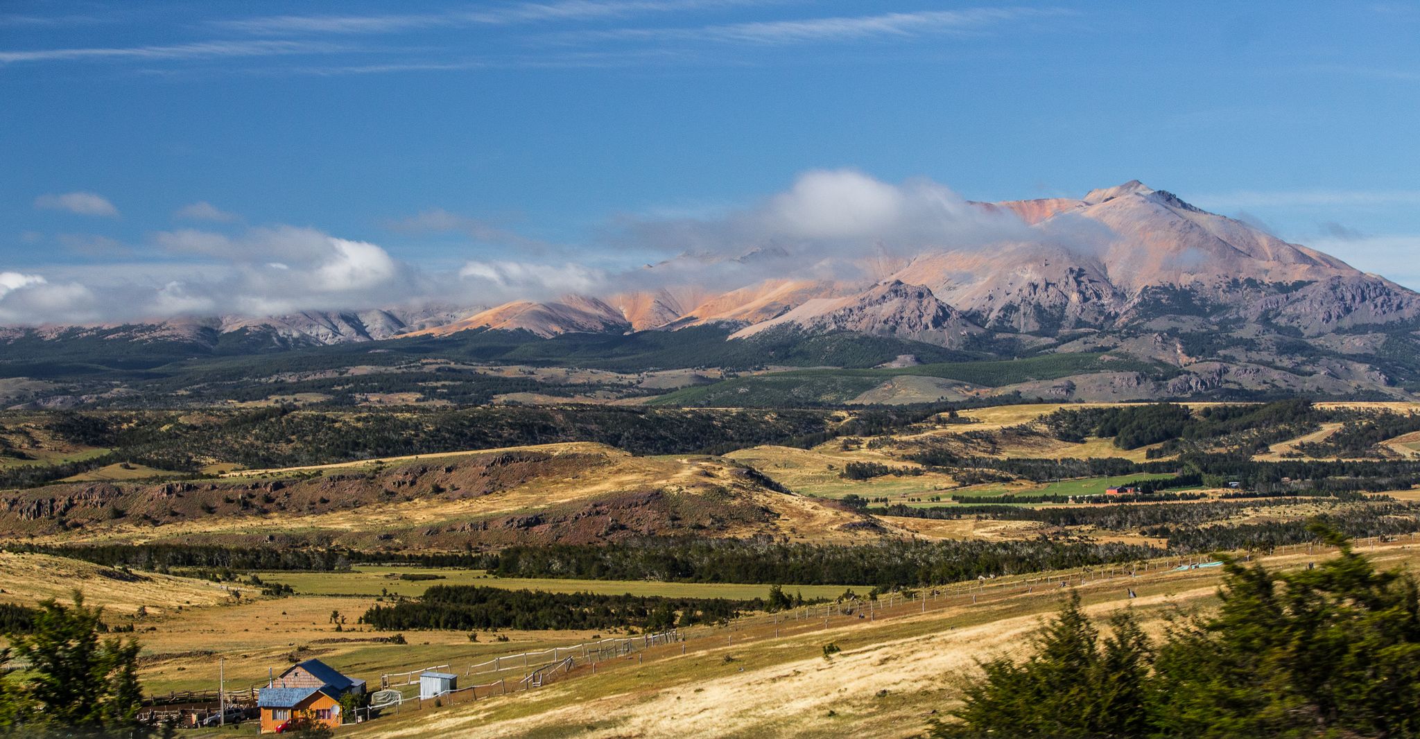
Puerto Montt to Cueva de las Manos – Carretera Austral
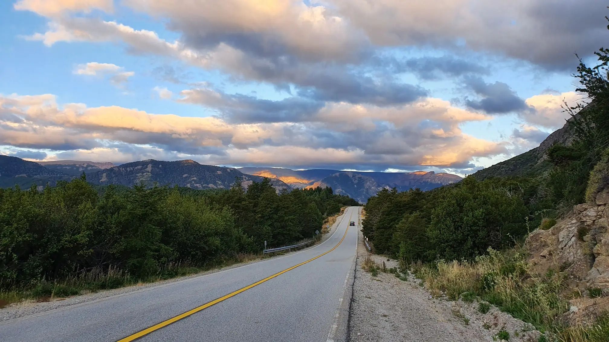
Between Chile and Argentina — Andean lakes and volcanoes
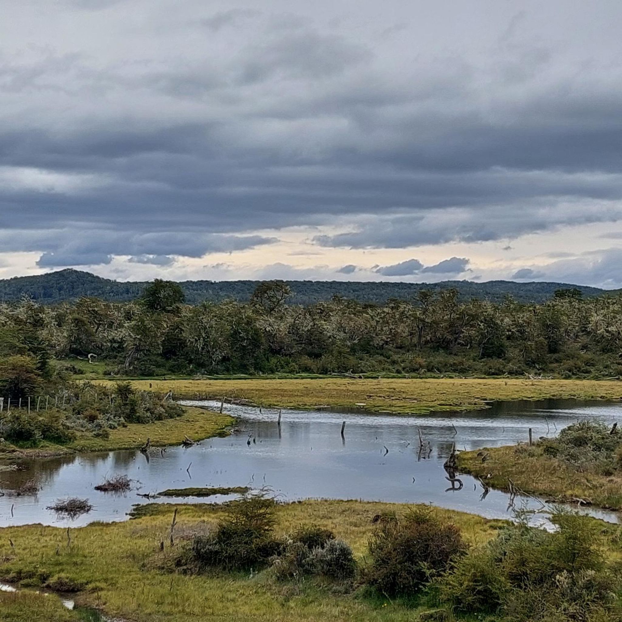
Hiking in Argentina
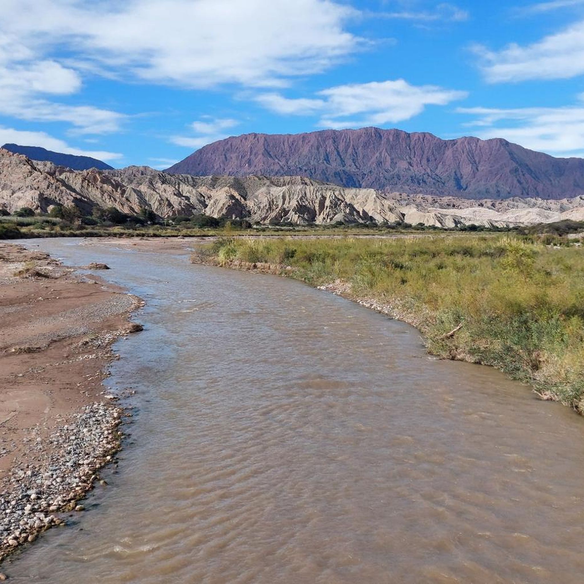
Running Trails in Argentina
Cycling in Argentina
MTB Trails in Argentina
Road Cycling Routes in Argentina

Mountain Hikes in Argentina
Gravel biking in Argentina


Tips from the Community

The Paso de la Oveja (Sheep Pass) is a high mountain pass that connects Laguna del Caminante (Walker's Lagoon) with the Cañadón de la Oveja (Sheep Canyon) in Tierra del Fuego National Park. It marks the change of slope on the return to Ushuaia, offering views of the mountains that enclose the canyon. The rocky landscape is impressive but makes progress more challenging.
0
0

Completed in January 2025, the entire road is paved. No difficulties to report. We passed after heavy rain, teams were working to remove stones and earth. A very beautiful route!
1
0

Great view! Just before this pass you should take a break to eat and rest in order to be prepared for the steep descent that follows.
1
0

The Caracoles de Villavicencio are the path to follow to reach the Paramillos Cross. It was used in the past as a step to Chile. Today is an unmissable journey that is also known as "the 365 curves road." In this tour is El Balcón, a natural viewpoint from which you can see the highest peaks of Los Andes such as the Tupungato (6,800m), the Mercedary (6,770 m) and the Aconcagua (6,959 m). It is a picturesque road, also called "the one-year route," which covers the distance from Paso Caracoles to Cruz de Paramillos (3,200 m.s.n.m), being formerly the forced passage to Chile. It is currently an unmissable cornice trail, with an interesting flora and fauna and a spectacular view of the Cordillera. (Wikimapia)
1
0
Unpaved. Climbs steeply from Alto Huaco as the landscape changes from red rocks to yellow and beige. There is a mirador at the top. Punctuated by a small tunnel carved out of the rock and ending overlooking the reservoir (Embalse Los Cauquenes).
0
0
Amazing views from the top! Unpaved. Loose in places. Many guardrails have eroded away so be careful if you're headed down!
0
0
The Cuesta del Obispo is a zigzagging and steep section of Provincial Route 33, located between the Maray area of the Escoipe ravine and the Piedra del Molino (3348 ), in the province of Salta, north of the Argentine Republic, connecting the valley of Lerma with the high Calchaquí valley. (Wikipedia) The climb is about 34km and 1630m of elevation gain (average 4.8% grade). There are no services and no water. As of 2023, it is unpaved.
1
0

In this part you can hardly see the signage, be careful not to get lost.
0
0
Frequently Asked Questions
Which mountain passes offer the most dramatic high-altitude experiences in Argentina?
For truly dramatic high-altitude experiences, consider Paso de Agua Negra, which is the highest border crossing between Argentina and Chile at 4,765 meters (15,633 feet), known for its stark, arid landscapes and penitentes. Another exceptional choice is Paso de San Francisco, reaching 4,726 meters (15,505 feet) and offering panoramic views of towering volcanoes along the 'Ruta de los Seismiles'. Additionally, the Abra del Acay Pass in Salta Province is reputed to be the highest road pass on a national highway in the Americas, at 4,956 meters (16,259 feet).
What are the best times to visit Argentina's mountain passes, and what are the seasonal considerations?
The best time to visit most of Argentina's high mountain passes is during the Southern Hemisphere's summer months, typically from December to March. Many passes, like Paso de Agua Negra and Paso Internacional Cristo Redentor, are often closed during winter (June to September) due to heavy snowfall and ice. Always check current road conditions before planning your trip, especially for higher or unpaved routes.
Are there any mountain passes in Argentina known for their historical significance?
Yes, Paso de San Francisco holds historical significance as a route potentially used by Diego de Almagro's expedition in 1536. Another notable pass is Paso Internacional Cristo Redentor (Los Libertadores), which features the iconic Cristo Redentor statue placed in 1904 to symbolize peace between Argentina and Chile.
What kind of natural features and wildlife can I expect to see along Argentina's mountain passes?
Argentina's mountain passes showcase incredible natural diversity. Along routes like Paso de San Francisco, you can see towering volcanoes, high peaks, and mountains displaying diverse colors of red, pink, green, and yellow. Wildlife sightings may include vicuñas, guanacos, llamas, and flamingos in high-altitude lagoons. Paso de Agua Negra is known for its unique frozen snow formations called penitentes during summer, while the Carretera de Iruya offers glimpses of vicuñas amidst colorful gorges.
Which mountain passes offer scenic driving experiences with unique road features?
The Paso Internacional Cristo Redentor (Los Libertadores) is famous for its dramatic series of steep switchbacks known as 'Los Caracoles' (The Snails) on the Chilean side. The Carretera de Iruya, leading to the village of Iruya, offers a winding journey through colorful gorges. Cuesta de Huaco features a route where the landscape changes from red to yellow and beige rocks, including a small tunnel carved out of rock.
Are there any challenging mountain passes for experienced drivers or adventurers?
Yes, several passes offer a challenge. Paso de Agua Negra is known for its rugged, unpaved terrain and remote, high-altitude environment. Abra del Acay Pass provides an extreme high-altitude driving experience on what is considered the highest road pass on a national highway in the Americas. La Oveja Pass in Tierra del Fuego National Park also presents a challenging rocky landscape.
What outdoor activities can I do near Argentina's mountain passes?
Near Argentina's mountain passes, you can find a variety of outdoor activities. For cycling enthusiasts, there are numerous routes available, including challenging ones like 'Circular a la laguna Ilón' in Nahuel Huapi National Park. Hikers can explore trails such as 'Laguna Torre y mirador Maestri' in Los Glaciares National Park. Mountain biking is also popular, with trails like 'Sendero Cerro O'Connor'. You can find more details and routes in the Cycling in Argentina, Waterfall hikes in Argentina, and MTB Trails in Argentina guides.
Which mountain passes are important for international travel and trade between Argentina and Chile?
Several passes are crucial for connecting Argentina with Chile. Paso de Agua Negra is the highest border crossing, though often closed in winter. Paso de San Francisco is another high-altitude connection. Paso Internacional Cristo Redentor (Los Libertadores) is a major transport route between Mendoza, Argentina, and Valparaíso, Chile. Paso de Jama is a vital, fully paved route for truck traffic between northern Argentina, Paraguay, and the ports of northern Chile.
What are some of the most scenic viewpoints along Argentina's mountain passes?
Many passes offer breathtaking viewpoints. Cuesta de Lipán Pass provides great landscapes and is a popular viewpoint. Cuesta de Huaco has a mirador at its top overlooking the Embalse Los Cauquenes. For an expansive vista, the View of the Southern Patagonian Ice Field from Paso Huemul offers unparalleled views of the vast ice field.
Are there any mountain passes that are less traveled and offer a more secluded experience?
Yes, Paso Sico is known for seeing much less traffic than Paso de Jama, offering a route through an inhospitable yet wild plateau with vast expanses, volcanoes, colorful lakes, and white salt flats. The Carretera de Iruya is also a less traveled road, winding through picturesque gorges and providing a glimpse into traditional Andean life.
What should I know about accessibility and road conditions for Argentina's mountain passes?
Road conditions vary significantly across Argentina's mountain passes. Some, like Paso de Jama and Paso Internacional Cristo Redentor, are fully paved and generally accessible, though winter closures can occur. Others, such as Paso de Agua Negra and parts of the Carretera de Iruya, feature unpaved or rugged terrain, requiring suitable vehicles and careful driving. Always check current conditions, especially during seasonal transitions.
What do visitors enjoy most about the mountain passes in Argentina?
Visitors frequently highlight the incredible landscapes and the sense of adventure. Many appreciate the dramatic elevation changes, the unique geological formations, and the panoramic views from passes like Cuesta de Lipán Pass. The challenging yet rewarding drives, the opportunity to see diverse wildlife, and the historical significance of routes also contribute to a memorable experience.
Most popular routes in Argentina
Most popular attractions in Argentina

Get inspired with the komoot mobile app


Explore more
See even more epic mountain passes by checking out these guides in Argentina:
