Top 15 Bike Parks around Riezlern
Best bike parks around Riezlern serves as a central point within the Kleinwalsertal valley, a region known for its diverse biking opportunities. The area is surrounded by peaks such as Widderstein (2,536 m), Kanzelwand (2,058 m), and Hoher Ifen (2,229 m), offering varied terrain. This location provides access to a range of mountain bike trails and dedicated skill areas. The valley's landscape supports both leisurely scenic routes and more challenging downhill tracks.
Best bike parks around Riezlern
- The most popular…
Last updated: July 7, 2026
Hörnerbahn Summit Station
Highlight • Rest Area
Translated by Google •
Tip by

Heuberglift mountain station
Highlight • Rest Area
Translated by Google •
Tip by

Sign up now to discover places like this
Get recommendations on the best single tracks, peaks, & plenty of other exciting outdoor places.
Sign up for free
Mittelberg High Trail
Highlight (Segment) • Trail
Translated by Google •
Tip by

Singletrack Lochbachtal–Rohrmoos (Nagelfluhkette Nature Park)
Highlight (Segment) • Trail
Translated by Google •
Tip by

Lech–Warth Mountain Bike Trail (S2/S3)
Highlight (Segment) • MTB Park
Translated by Google •
Tip by

Sign up for free to discover even more bike parks around Riezlern.
Sign up for free
Already have an account?
Start today with a free account
Your next adventure awaits.
Login or Signup
Popular around Riezlern
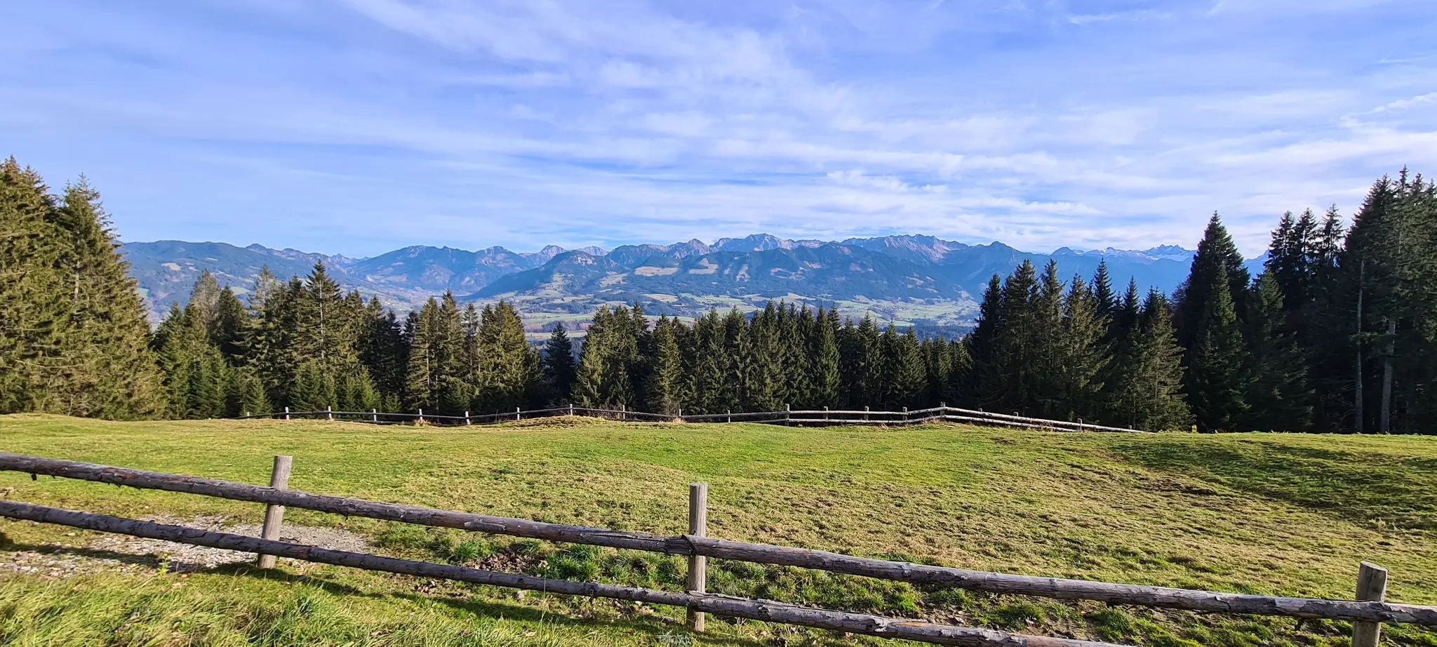
Allgäu Panorama Marathon – Ultra: Two Days Trailrunning-Adventure

The Best of Allgäu – Tour around Oberallgäu
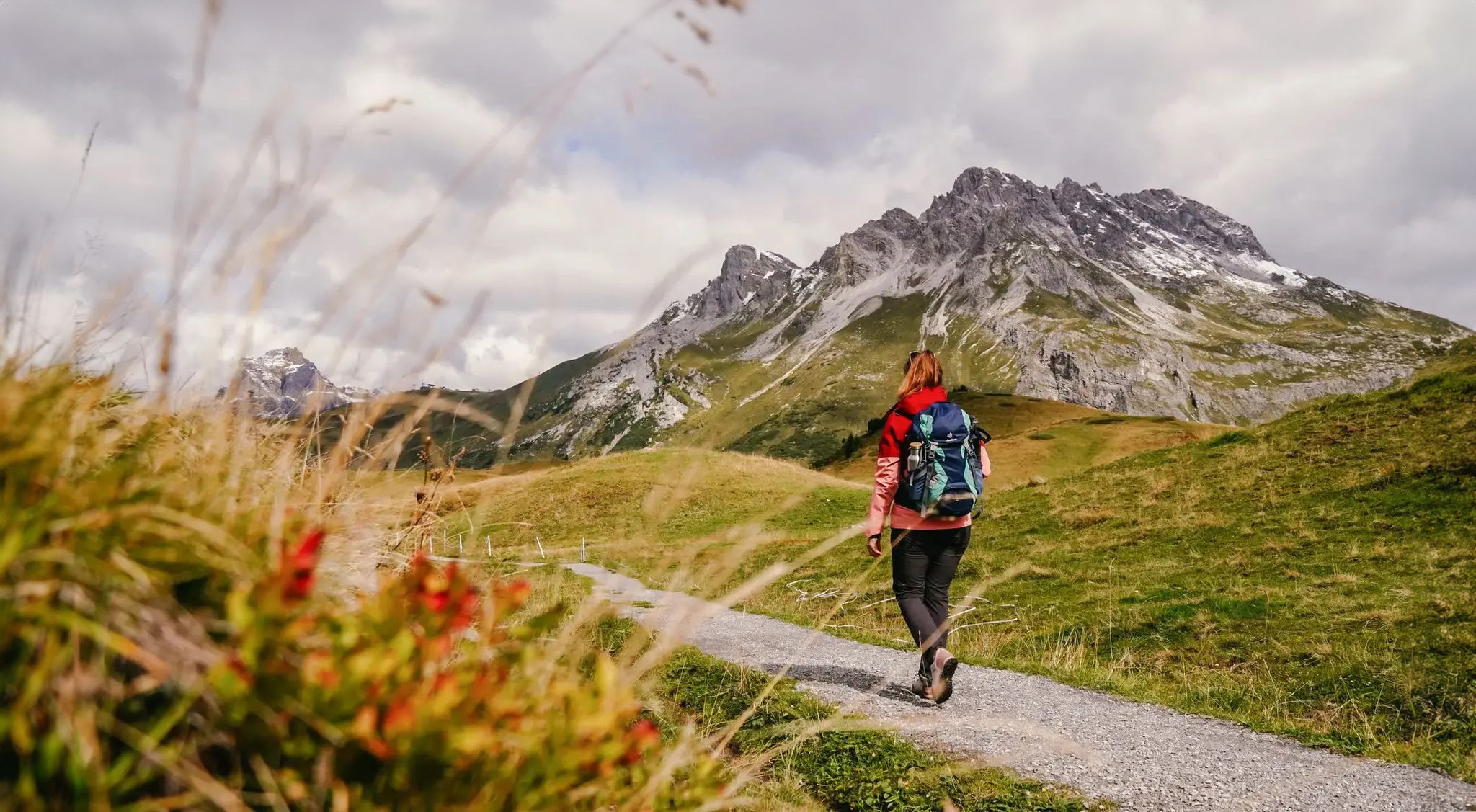
Vorarlberg in autumn – the 6 most beautiful hikes in the golden season
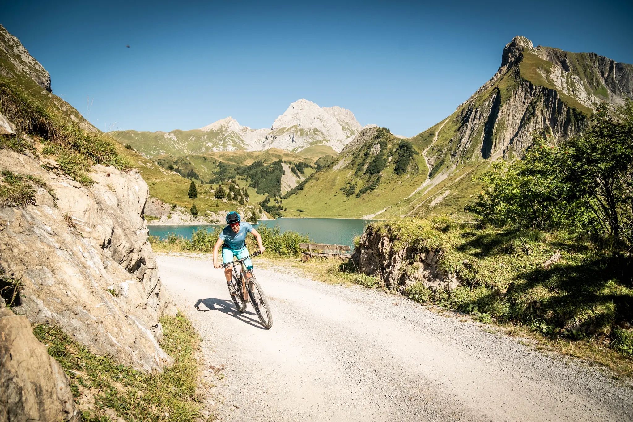
6 exciting regions in Vorarlberg – 6 fantastic bike rides
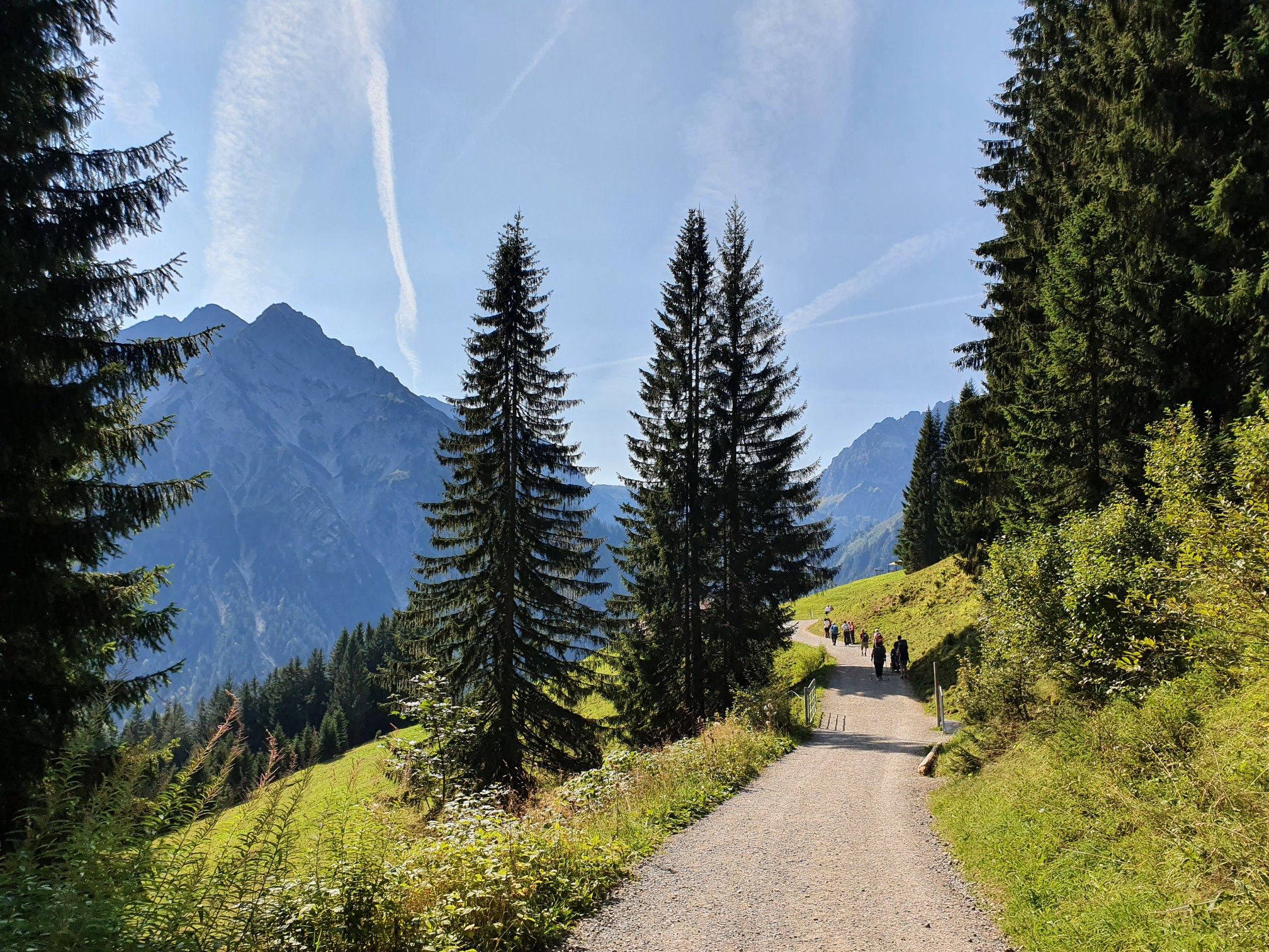
Lace up your shoes — your hiking holiday in Austria’s Kleinwalsertal
Mindful in the mountains — Kleinwalsertal for nature lovers
Nature awakens – spring hikes in Vorarlberg
Oberstdorf — hiking at three altitudes
Find the snow! Winter hiking in Vorarlberg and on the Arlberg in Austria
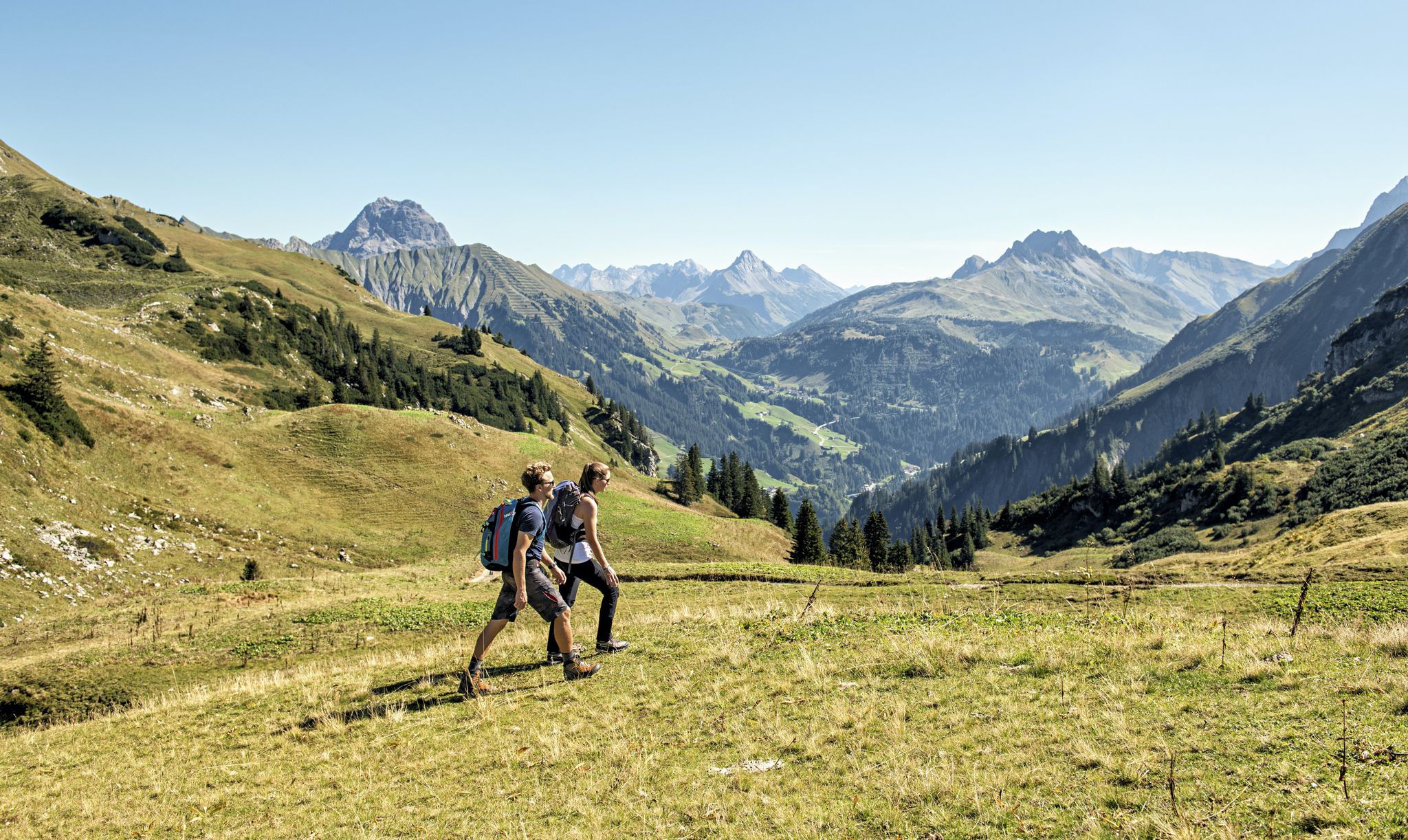
Holidays at last – relaxing hikes in Vorarlberg & Tyrol
Other adventures around Riezlern


Tips from the Community

From the mountain station, you can take a variety of tours. This is also the starting point for the mountain cars.
3
0

Take a leisurely ride up the mountain with the Heubergbahn and then you can continue hiking on the panoramic trail.
9
1

From up here it is only a piece of cake to the Bolsterlanger summit cross
2
0

One way ahead - you will have to push/carry here - probably nobody can drive through everything here - but it's not that far - as an experienced biker you shouldn't be put off - but with panniers, etc., it's better to stay on the road
4
0

@Olaf: this stretch is marked as S2/S3 with some sliding sections. That means: S2 downhill (red) and S3 (black) uphill. And yes, very good MTB trail technicians do it consistently, I know a few. Good MTB riders ride this 95% and only push 5%. I also described that above. and documented with numerous photos. So nothing for pure forest road riders or trekking bikes. I myself only drive safely S1, and sometimes also simple S2. I often push. I have often come across difficulties that were not so obvious before, and after tedious pushing and carrying work, I have documented them and pointed out the difficulties that others might face. Same here. The route was previously entered in the OSM map as S2 and when planning with komoot the message appears: "Advanced driving technique required". Since I was surprised that that alone wasn't enough, I created this highlight in 2019 with the clear indication that it had to be pushed and sometimes even carried. Nevertheless, I found this route nice and worthwhile because you avoid the very busy pass road. It was okay that I had to get out of my comfort zone with my almost 60 years and being overweight. It should be clear to everyone that after rain with very soft ground, a path may be much more difficult to drive/push/carry. Mountain bikers often ride paths that are not consistently rideable and are willing to push a bit if their ability or their willingness to take risks is overwhelmed. Anyone who dares to tackle real MTB terrain should know the single trail scale and be able to assess themselves accordingly, read the komoot classification of the trail and study the highlights - if available - in advance. Here the key points are even illustrated by me in large numbers. So you know what you're getting yourself into. You obviously usually ride gravel bikes, you probably rented e-MTBs here. Have you looked at the pictures of this highlight beforehand? If you overdo it on an S2/S3 path, you may be putting yourself in danger, will curse, and won't do it again. Happened to me when I was young when I was mountaineering and had to pay for an expensive helicopter rescue. Maybe you have to admit the mistake of not having informed yourself sufficiently beforehand. The hazard warnings were there. https://www.singletrail-skala.de/
4
2

You have the opportunity to cope with the difference in altitude by train. There is also the option of walking just part of the way. The view from here is magnificent. You can tackle the descent with a Kettcar. Behind the mountain station is the ascent to the Bolsterlanger Horn (walking time a good 5-10 minutes). This one is rooted and a bit demanding.
4
0

From the mountain station, the Panoramaweg in the direction of Mittelberg and Baad is easy to reach, but the path to the Schwarzwassertal to the Schwarzwasserhütte is also easy to walk.
6
1

Frequently Asked Questions
What types of bike parks and trails can I find around Riezlern?
Riezlern and the Kleinwalsertal valley offer a diverse range of biking experiences. You'll find dedicated skill areas like the Hirschegger Bikepark, which features banked turns, jumps, and a wave track suitable for all levels. There's also a free pumptrack at the Walmendingerhornbahn. Beyond these, the region boasts extensive mountain bike trails, from leisurely scenic routes to challenging downhill sections and flowing single trails like the Stutzalpe Trail.
Are there family-friendly biking options in the Riezlern area?
Yes, Riezlern is very family-friendly for bikers. The Hirschegger Bikepark is designed so that all features can be ridden around, making it accessible for beginners and children. The pumptrack at Walmendingerhornbahn is also suitable for all skill levels. Additionally, facilities like Hörnerbahn Summit Station and Heuberglift mountain station are noted as family-friendly, often providing easy access to panoramic trails or fun descents like mountain carts.
Where can I find scenic bike routes with good viewpoints?
The Kleinwalsertal region is known for its stunning panoramas. The Mittelberg High Trail offers a well-developed gravel path with many beautiful views of the valley landscape. From the Hörnerbahn Summit Station, you get magnificent views of the Oberstdorf valley and surrounding mountains. The Heuberglift mountain station also provides access to a panoramic trail after a leisurely ride up the mountain.
What are some challenging mountain bike trails near Riezlern?
For more advanced riders, the region offers several challenging options. The Singletrack Lochbachtal–Rohrmoos in Nagelfluhkette Nature Park is known for being challenging with big stones and washed-out sections. The Lech–Warth Mountain Bike Trail (S2/S3) also presents a demanding route with rooted, stony sections and small heels, requiring technical skill.
What services are available for cyclists, such as bike rentals or transport?
Several sports stores in the Riezlern area offer e-bike rentals. Additionally, some cable cars and lifts, like the Söllereckbahn, provide mountain bike transportation, making it easier to access higher trails and varied terrain without having to climb the entire way.
When is the best time of year to go mountain biking around Riezlern?
The best time for mountain biking around Riezlern is generally during the snow-free periods. This typically means from late spring through early autumn, when trails are clear and conditions are favorable. The pumptrack at Walmendingerhornbahn, for instance, is available for free use during these months.
Are there other outdoor activities I can do near the bike parks?
Absolutely! The Kleinwalsertal region offers a wealth of outdoor activities. You can explore numerous hiking trails, such as the 'High moor hike at the Hörnle Pass' or the 'Breitach Suspension Bridge – Waterfall in the Schwarzwassertal loop'. For more cycling, there are dedicated touring bicycle routes like the 'Rohrmoos Valley loop' or the 'Herzsee (Heart Lake) – Melköde Alp loop'. You can find more details on these activities in the hiking guide, cycling guide, and MTB trails guide for Riezlern.
What do visitors particularly enjoy about the biking experiences in Riezlern?
Visitors appreciate the variety and stunning scenery. Many enjoy the well-developed gravel paths with beautiful views, like those found on the Mittelberg High Trail. The option to use cable cars to gain altitude for magnificent views, such as from the Hörnerbahn Summit Station, is also highly valued. The region's trails are often described as 'playful yet challenging,' offering a mix of fun, variety, and breathtaking panoramas.
Are there any guesthouses or facilities along the trails?
Yes, some trails offer convenient facilities. For example, the Stutzalpe Trail, accessible from the Kanzelwandbahn valley station in Riezlern, includes charming guesthouses and even a well-equipped outdoor bike workshop at the Stutzalpe at 1,490 meters. The Mittelberg High Trail also features several rest stops like the Sonna-Alp, Bühlalpe, and Stutz-Alpe.
Can I take guided bike tours in the Kleinwalsertal region?
Yes, guided tours are available in the Kleinwalsertal. These include half-day mountain bike and e-mountain bike tours. They are often tailored to individual riding ability and preferences, providing insider tips and a relaxed way to explore the region's diverse trails.
What kind of terrain can I expect on the mountain bike trails?
The terrain around Riezlern is varied. You can expect everything from well-developed gravel paths on panoramic routes to flowing single trails through forests. More challenging trails, like the Singletrack Lochbachtal–Rohrmoos, can feature big stones, washed-out sections, roots, and steep slopes. The region offers a mix of playful and demanding sections suitable for different skill levels.
Most popular routes around Riezlern
Most popular attractions around Riezlern

Get inspired with the komoot mobile app


Explore more
Still looking for your perfect bike park? Check out our guides in these places:
