Top 4 Mountain Passes around Rheinbach
Best mountain passes around Rheinbach are found in the Voreifel, an area characterized by rolling hills, forests, and river valleys. While not high-alpine, the region offers numerous elevated routes that provide similar experiences of traversing varied terrain. Rheinbach is an excellent starting point for hiking and cycling tours that include ascents and descents through its picturesque landscape. The highest point in Rheinbach itself is near Todenfeld, at 406.5 meters above sea level.
Best mountain passes around Rheinbach
- The most popular…
Last updated: June 24, 2026
Winnen Climb
Highlight (Segment) • Climb
Translated by Google •
Tip by

Linder Höhe Pass from Brück
Highlight (Segment) • Climb
Translated by Google •
Tip by

Sign up now to discover places like this
Get recommendations on the best single tracks, peaks, & plenty of other exciting outdoor places.
Sign up for free
Maubisch Pass
Highlight • Mountain Pass
Translated by Google •
Tip by

Col du Kraelingen
Highlight • Mountain Pass
Translated by Google •
Tip by

Start today with a free account
Your next adventure awaits.
Login or Signup
Popular around Rheinbach
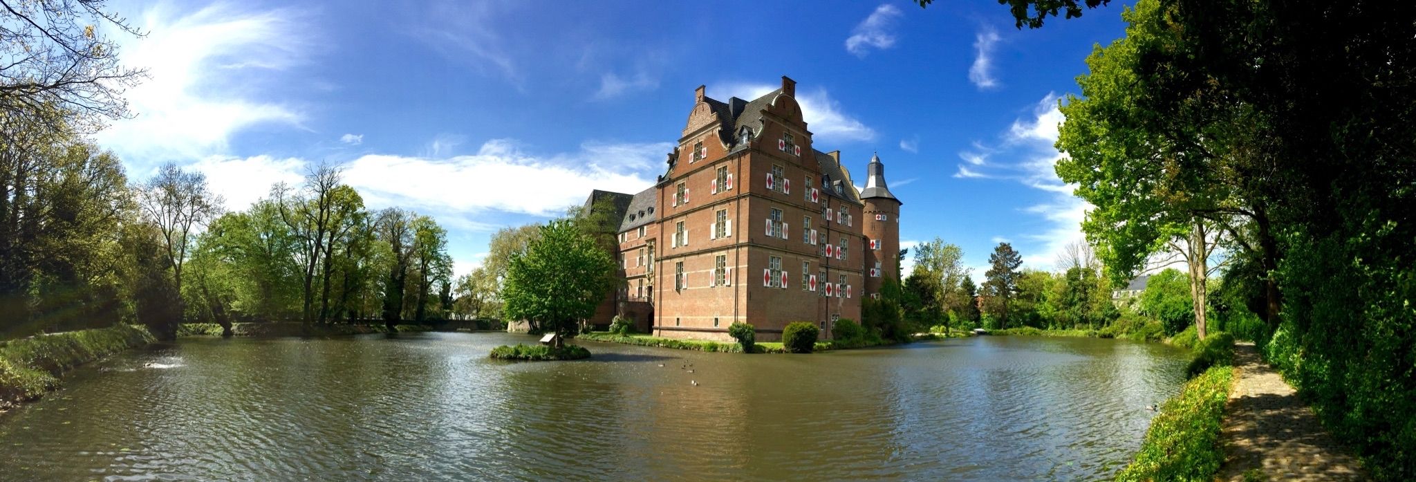
Wasserburgen-Route — A ride through Germany's Castle Country from the Rhine to the Eifel and back
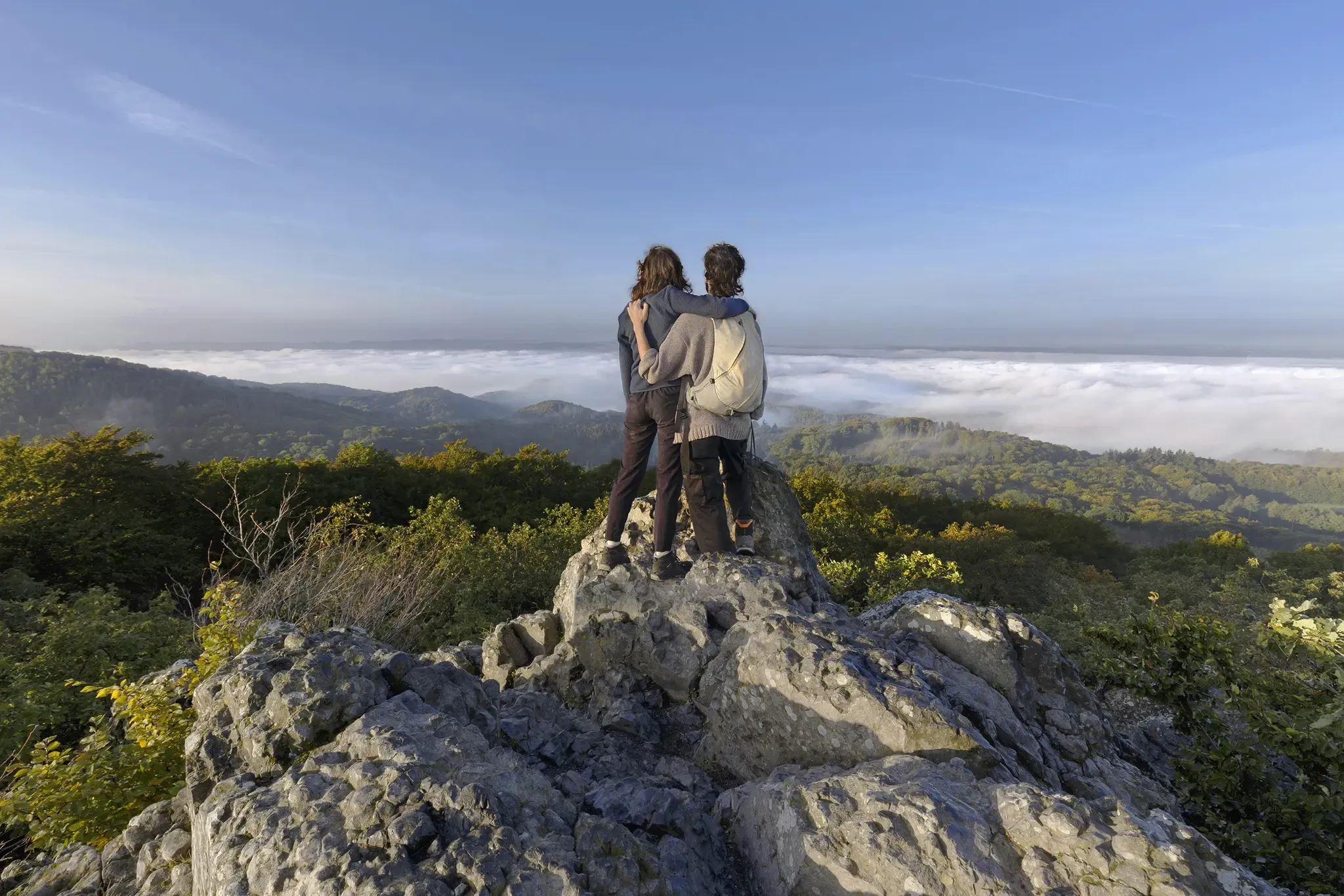
I'm getting outside! – eight adventurous hikes on the Rhine and Sieg
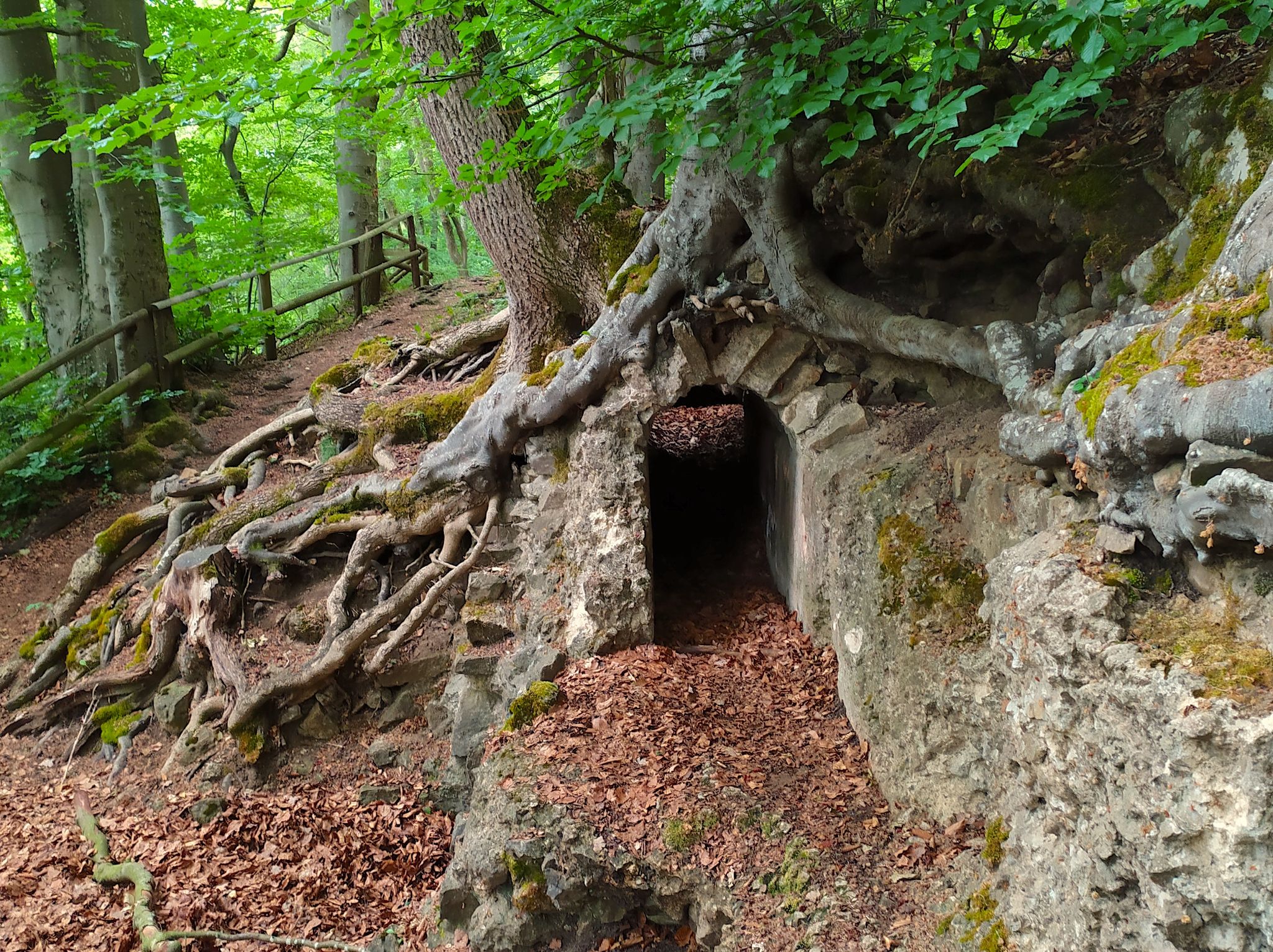
Hike from Cologne to the Eifel – Roman Canal Trail
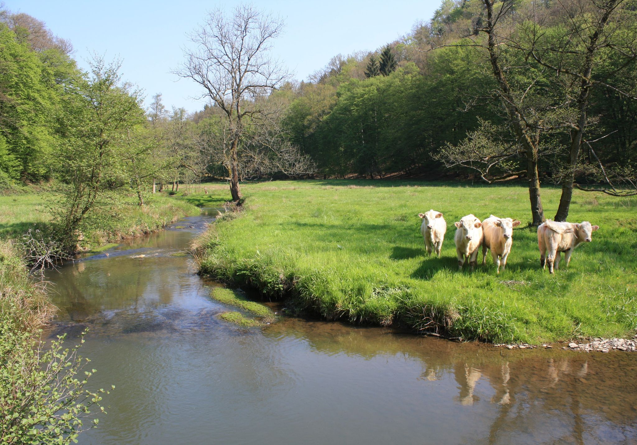
Nature and culture in beautiful landscapes – hikes on the Rhine and Sieg
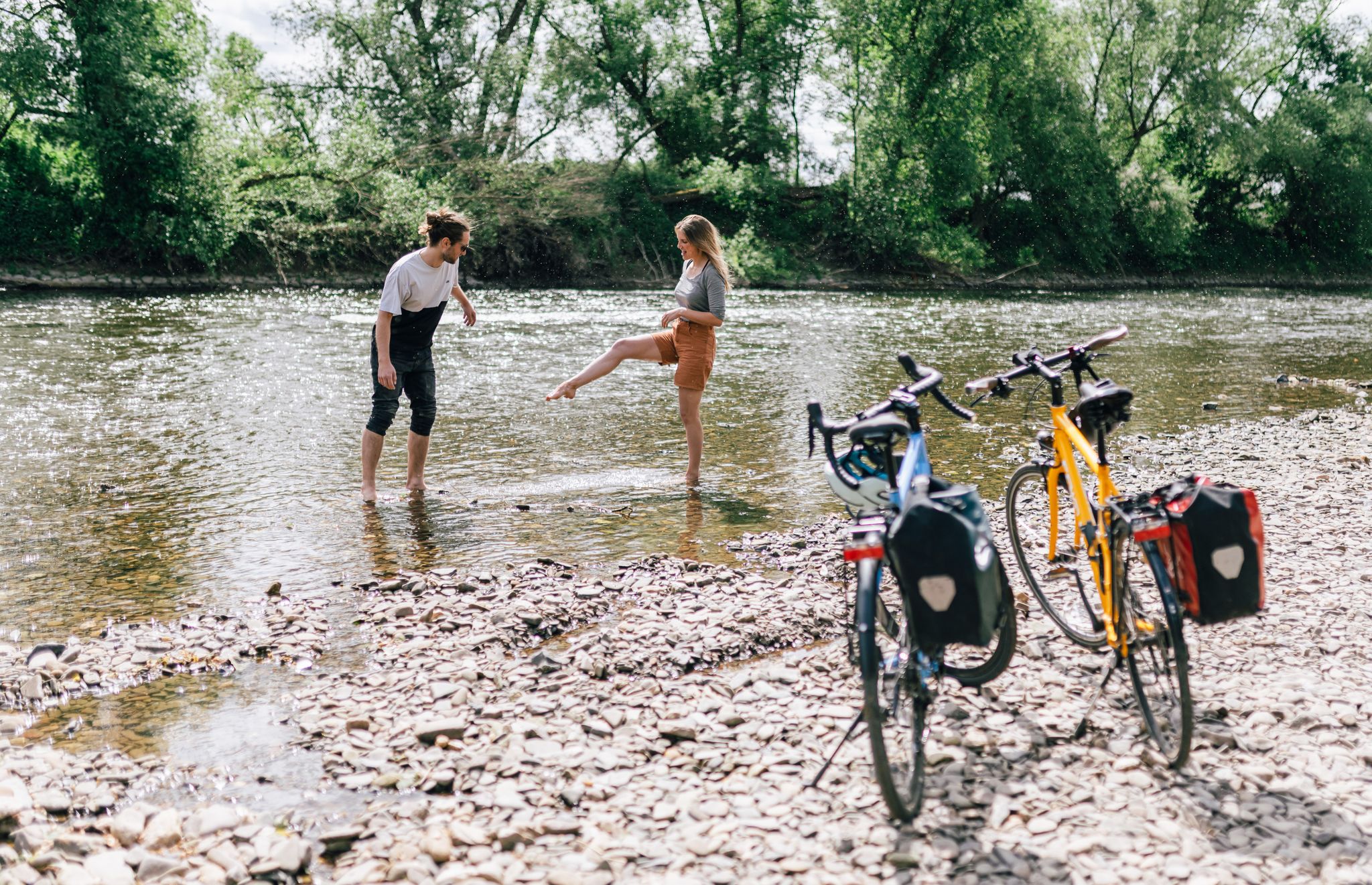
Close to water – cycling in the Rhineland cycling region
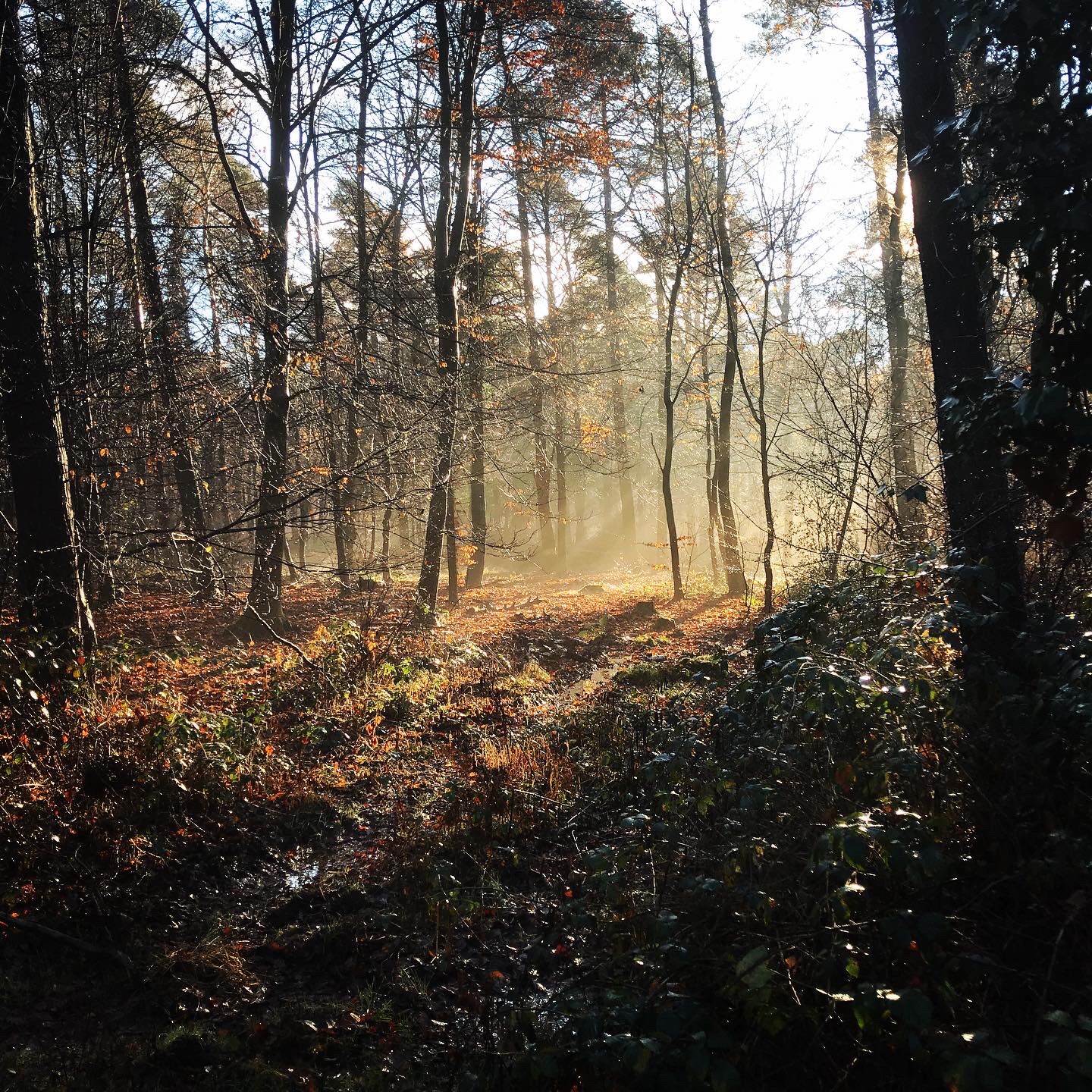
Naturpark Rheinland - Our most beautiful hiking trails
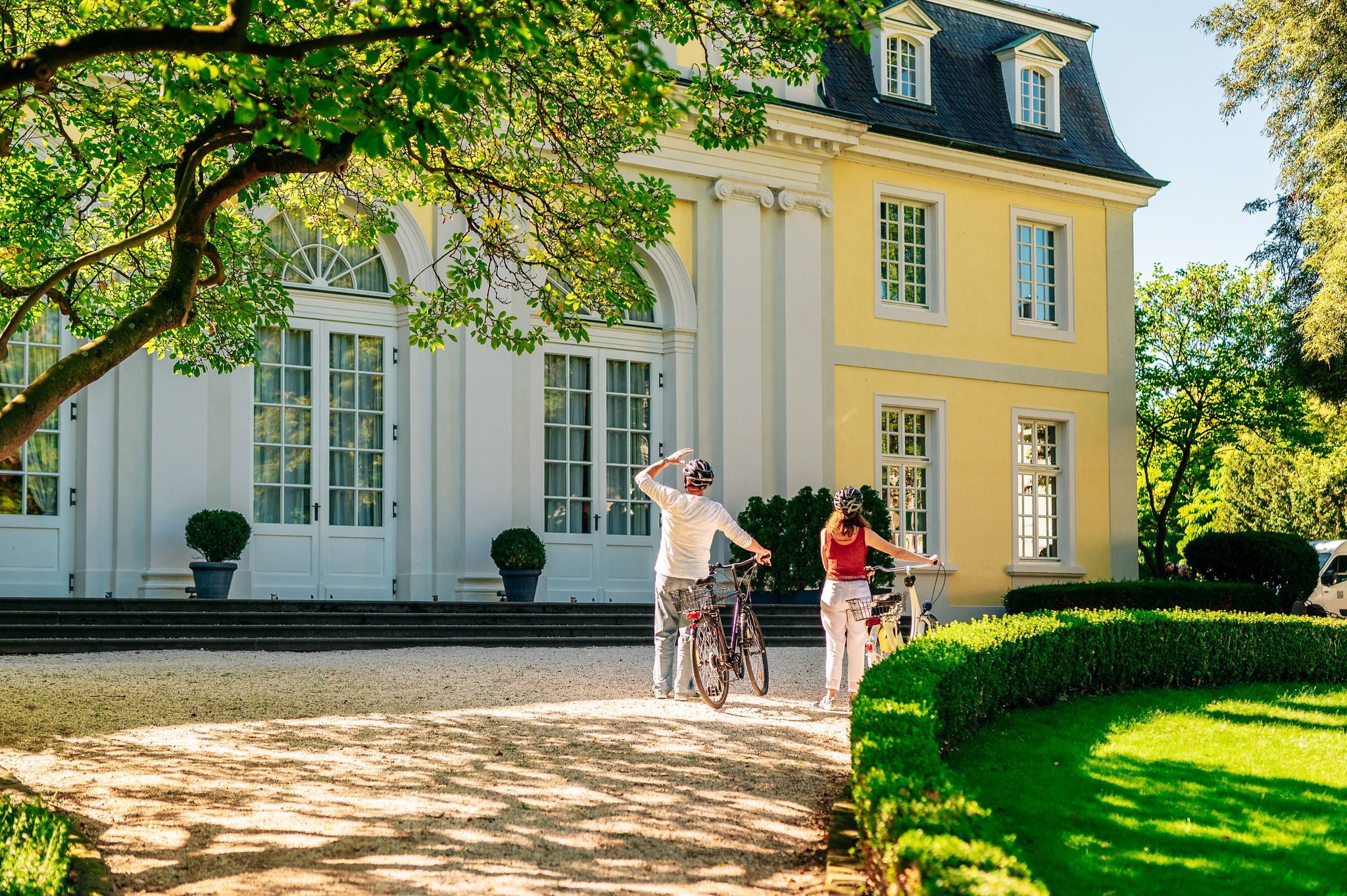
History in the Rhineland – cycling in the Rhineland cycling region
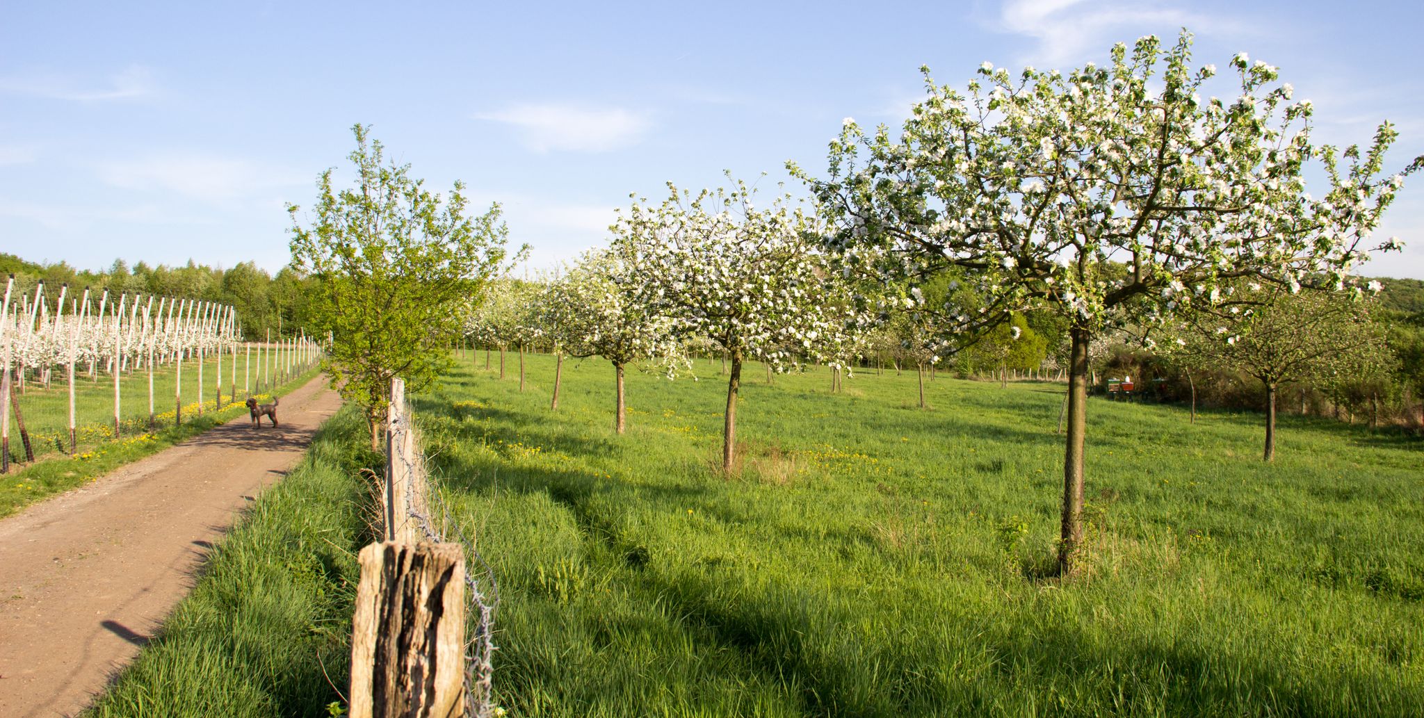
Im Zeichen des Apfels – Die Rheinische Apfelroute
Hiking around Rheinbach
Cycling around Rheinbach
Other adventures around Rheinbach


Tips from the Community


Beautiful climb from Burgsahr (Sahrbachtal) up to Winnen via a narrow asphalt road with serpentines.
0
0

Not much of a view because it's in the forest, but it's a great climb.
1
0

In terms of altitude, it is one of the longest climbs in the Eifel.
0
0

Good to ride both up and down. Always fun.
2
0
The ascent to Krälingen is legendary, especially for racing cyclists. Six well-paved serpentines lead from the beautiful Sahrbach valley up to the Eifel town... after just under 4km and around 200m of elevation, the climb is mastered. A great view awaits at the top...
2
0
A highly recommended climb, even if the density of cafés in Lind is quite low.
1
0
The asphalt quality is sufficient on the way up and the little traffic in this nice area is also good.
3
0
Frequently Asked Questions
What kind of terrain and views can I expect on the mountain passes around Rheinbach?
The mountain passes around Rheinbach are characterized by rolling hills, forests, and river valleys within the Voreifel region. While not high-alpine, they offer numerous elevated routes with ascents and descents. You can expect scenic routes through the Rhineland Nature Park, with highlights like Winnen Climb offering views of Burgsahr and the Sahrbach valley, and Linder Höhe Pass from Brück providing beautiful vistas over the Voreifel.
Are there challenging climbs for experienced cyclists or hikers?
Yes, the region offers challenging climbs. For cyclists, Linder Höhe Pass from Brück is considered one of the hardest in the North Eifel, featuring good asphalt and great scenery. The Maubisch Pass also presents a steep ascent, rewarding with panoramic views after climbing from Lanterdhofen to Bad-Neuenahr-Ahrweiler. The Col du Kraelingen is legendary among racing cyclists for its well-paved serpentines and significant elevation gain.
What are the best outdoor activities to do near the mountain passes?
Beyond exploring the passes themselves, Rheinbach is an excellent starting point for various outdoor activities. You can find numerous hiking and cycling tours that traverse the picturesque hilly terrain and forests. For hiking, explore routes like the 'Nature Park Rhineland | Rheinbacher-Forest-Round' or the 'Nature Park Rhineland - Tomburg Route'. Cyclists can enjoy road cycling routes such as the 'Hilberath Ascent – Sahrbach Valley Scenic Road loop' or gravel biking routes like 'Bench With View of Dernau – View of the Marienthal vineyards loop'. You can find more details on these activities in the Hiking around Rheinbach, Road Cycling Routes around Rheinbach, and Gravel biking around Rheinbach guides.
Are there any family-friendly routes or easy options for beginners?
While some passes are challenging, the broader region offers routes suitable for various skill levels. The Voreifel's rolling hills and forests provide many paths that can be enjoyed by families or beginners. Look for routes with moderate difficulty ratings in the nearby hiking and cycling guides. For instance, the 'Nature Park Rhineland | Rheinbacher-Forest-Round' is a moderate hiking option.
When is the best time of year to visit the mountain passes around Rheinbach?
The region is generally enjoyable for outdoor activities from spring through autumn. The mild climate allows for pleasant hiking and cycling. While specific winter conditions are not detailed for the passes, the hilly landscape can offer unique experiences in colder months, though some routes might be more challenging due to weather. Always check local conditions before heading out.
Are the mountain passes and trails dog-friendly?
Many hiking and cycling trails in the Rheinbach area, particularly those through forests and natural parks, are generally dog-friendly. However, it's always recommended to keep dogs on a leash, especially in nature reserves or areas with wildlife, and to check specific trail regulations before your visit.
What natural features or viewpoints should I look out for?
The region is rich in natural beauty. You can expect panoramic views over the Voreifel from passes like Linder Höhe Pass from Brück and Maubisch Pass. The Winnen Climb offers views of Burgsahr and the Sahrbach valley. The highest point in Rheinbach itself is near Todenfeld, at 406.5 meters above sea level, providing views of the Eifel and the Vorgebirge. The Rhineland Nature Park also offers numerous scenic spots.
Are there any historical or cultural landmarks near the mountain passes?
While the passes themselves are primarily natural features, the surrounding region has historical significance. The area is known for its Roman history, with trails like the Römerkanal (Roman Canal) hiking trail. The nearby Tomburg Castle Ruins are also a notable historical landmark that can be incorporated into hiking routes, offering both historical context and elevated viewpoints.
Where can I find parking or access trailheads by public transport?
Rheinbach serves as a good starting point, and many trailheads for hiking and cycling routes in the Voreifel region are accessible from the town. Specific parking locations for individual passes or trails are often available at their starting points. For public transport, Rheinbach is connected, and local bus services may provide access to various points within the surrounding natural areas. It's advisable to check local transport schedules and parking availability for your chosen route.
Are permits required for hiking or cycling in the Rheinbach area?
Generally, no special permits are required for hiking or cycling on public trails and roads in the Rheinbach area or the Rhineland Nature Park. However, always respect private property, follow local regulations, and stay on marked paths, especially in protected natural areas.
What amenities like cafes or accommodation are available near the mountain passes?
Rheinbach itself offers a range of cafes, pubs, and accommodation options. Many routes, especially those starting or ending in Rheinbach or passing through smaller villages in the Voreifel, will have opportunities for refreshments and places to stay. It's a good idea to plan your route to include stops in these towns for amenities.
What do visitors enjoy most about the mountain passes around Rheinbach?
Visitors particularly appreciate the challenging climbs and the scenic beauty of the routes. The Winnen Climb is noted for its quiet, almost car-free nature and great views. The Linder Höhe Pass from Brück is praised for its challenging ascent and wonderful views over the Voreifel. The Maubisch Pass is loved for its panoramic views after a steep climb. The community has contributed 63 upvotes and 16 photos, highlighting the appeal of these routes.
Most popular routes around Rheinbach
Most popular attractions around Rheinbach

Get inspired with the komoot mobile app


