Top 14 Mountain Passes around Langenbruck
Mountain passes around Langenbruck are situated in the Jura Mountains of Switzerland, centered around the Oberer Hauenstein Pass at 734 meters above sea level. This region forms a natural boundary between the canton of Basel-Landschaft and Solothurn, characterized by scenic, hilly terrain. The area holds historical significance, with routes dating back to Roman times that connected ancient cities. Langenbruck's landscape offers a variety of outdoor activities.
Best mountain passes around Langenbruck
- The most popular mountain passes is Chilchzimmersattel, a…
Last updated: October 10, 2026
Hauenstein Military Road to the Belchenflue
Highlight (Segment) • Trail
Translated by Google •
Tip by

Chilchzimmersattel
Highlight • Mountain Pass
Translated by Google •
Tip by

Sign up now to discover places like this
Get recommendations on the best single tracks, peaks, & plenty of other exciting outdoor places.
Schelten Pass from Ramiswil
Highlight (Segment) • Mountain Pass
Translated by Google •
Tip by

Chilchzimmersattel Ascent from Langenbruck
Highlight (Segment) • Mountain Pass
Translated by Google •
Tip by

Breitenhöchi Pass
Highlight • Mountain Pass
Translated by Google •
Tip by

Sign up for free to discover even more mountain passes around Langenbruck.
Already have an account?
Start today with a free account
Your next adventure awaits.
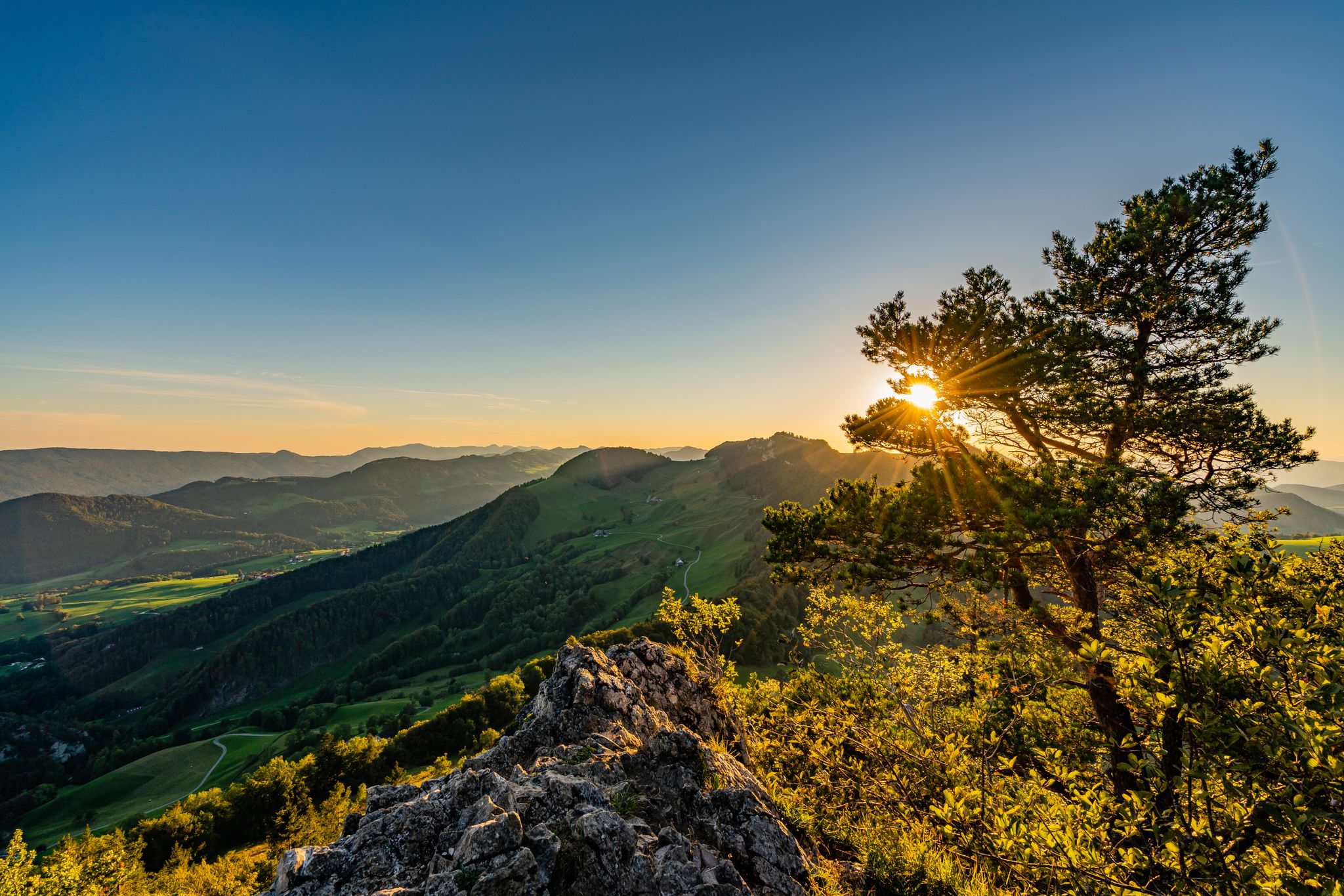
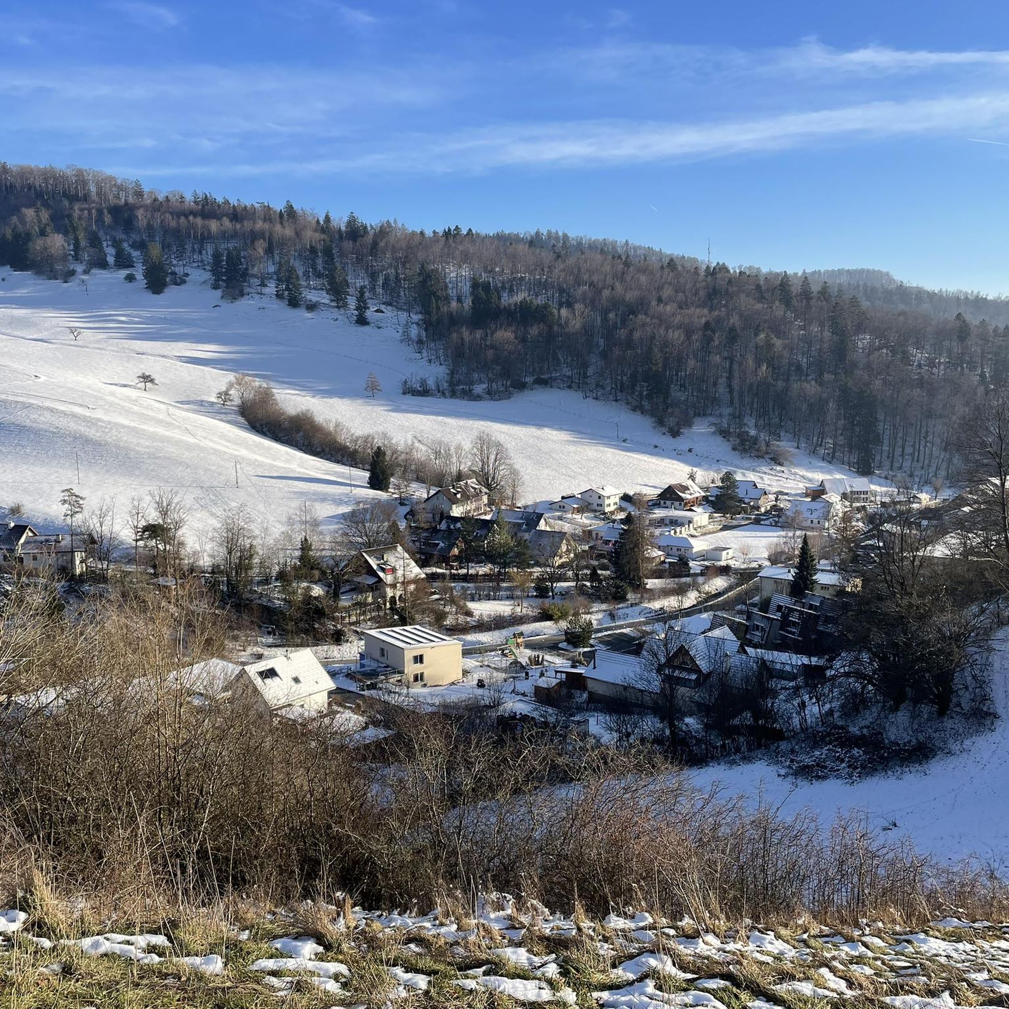
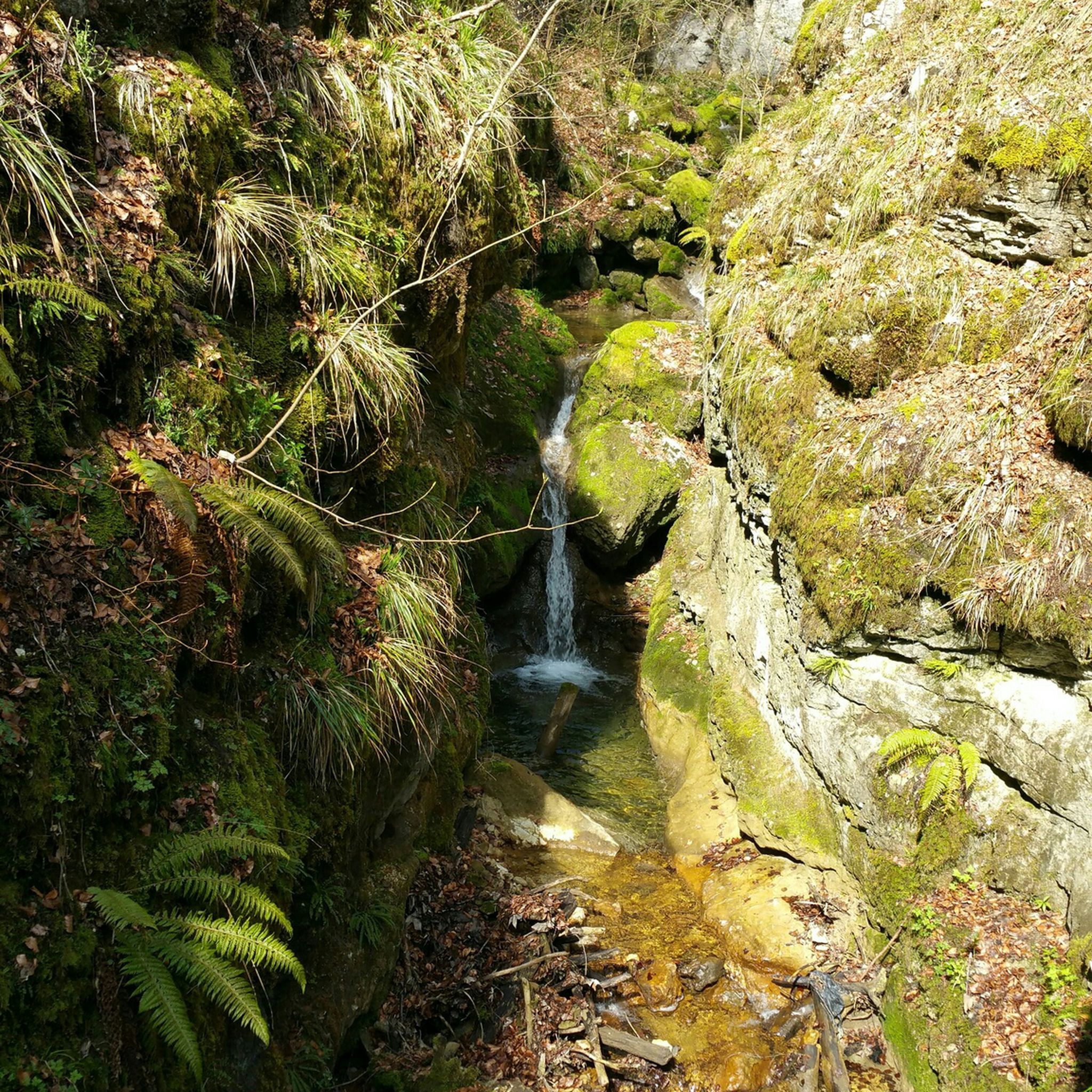
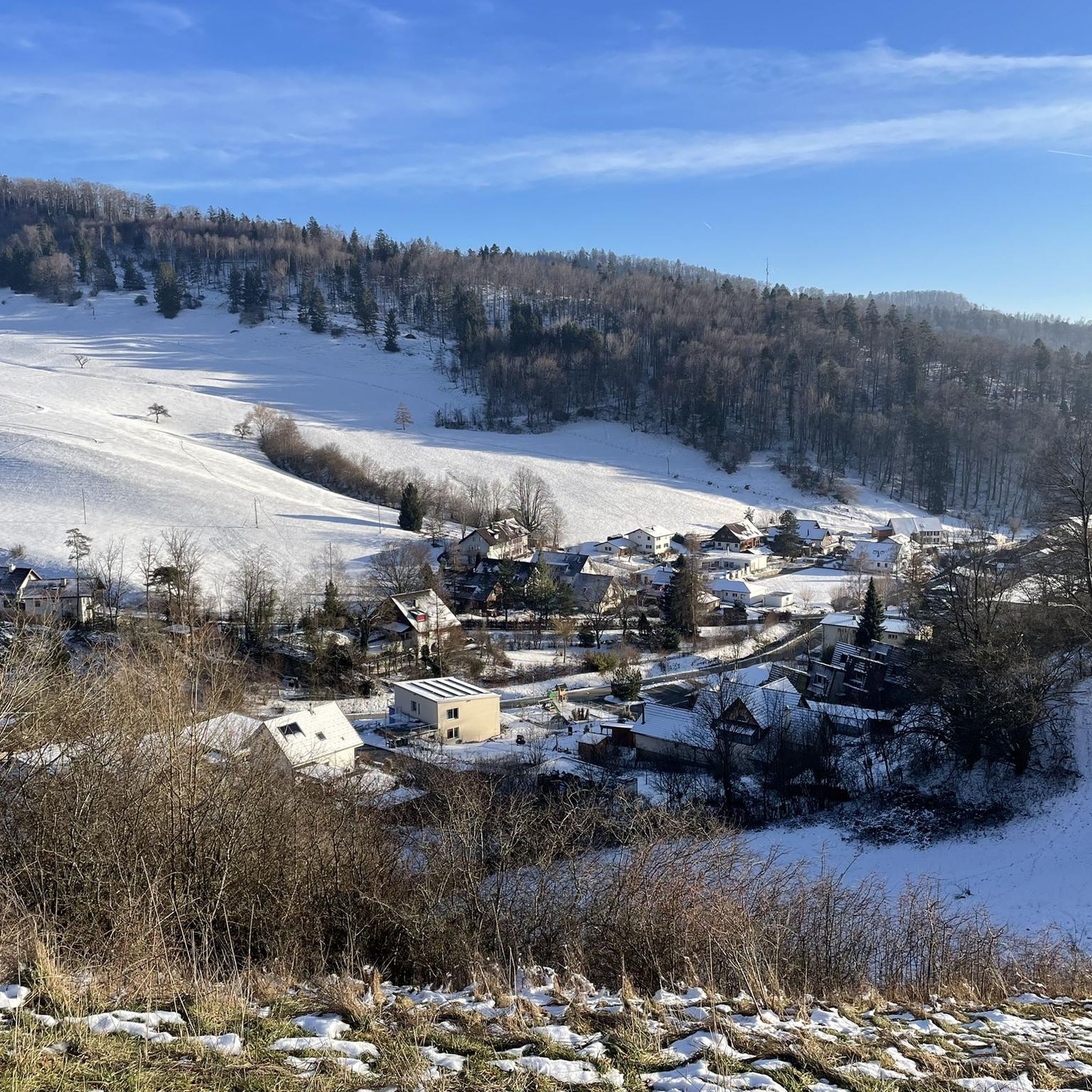
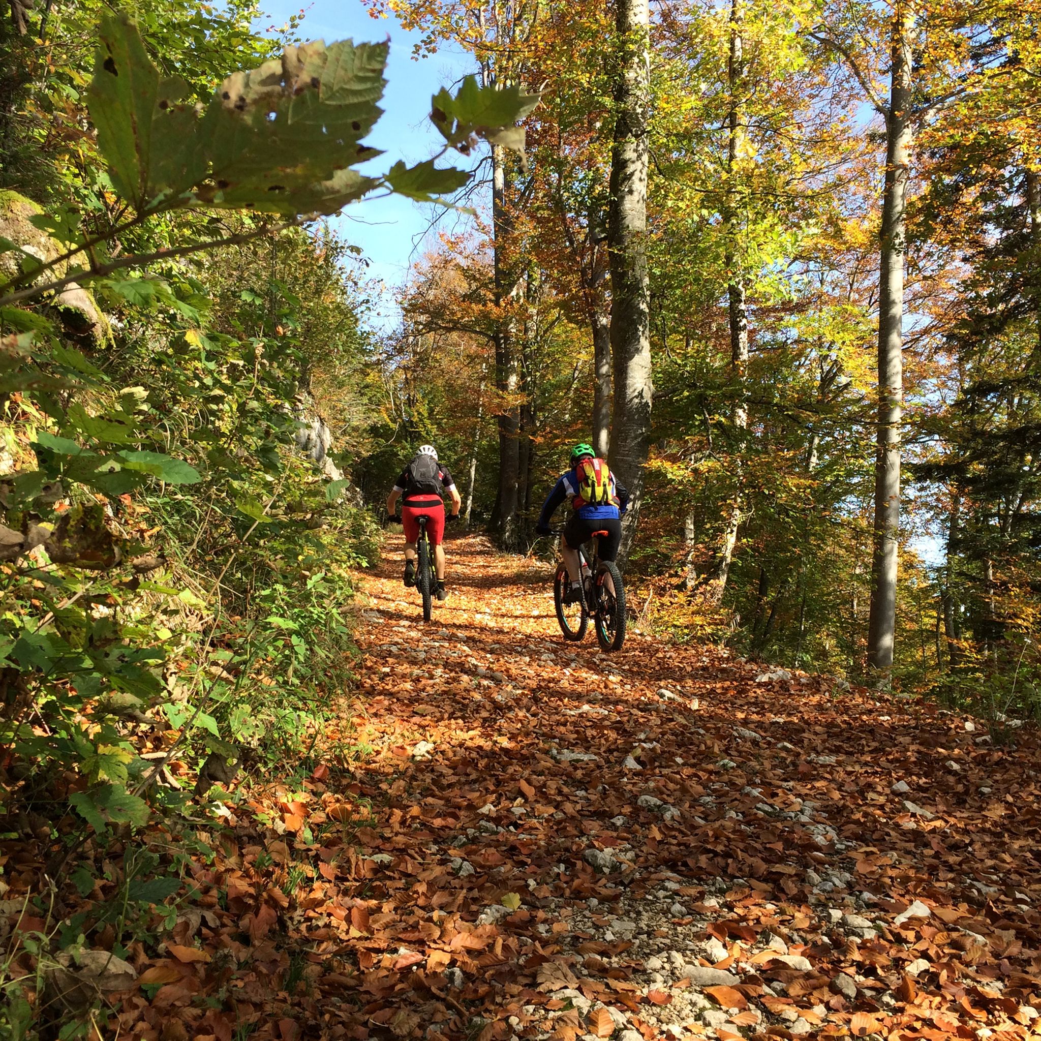
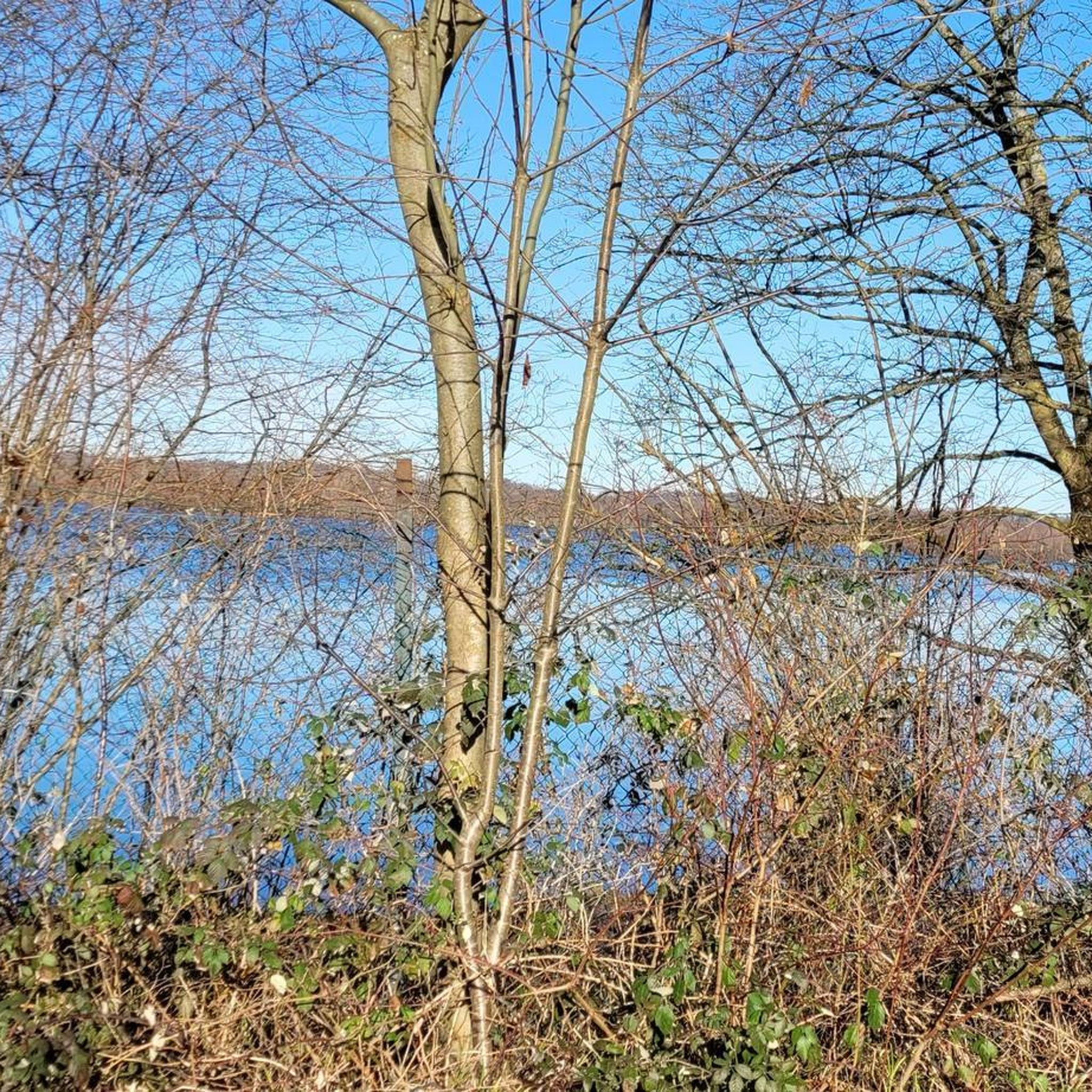
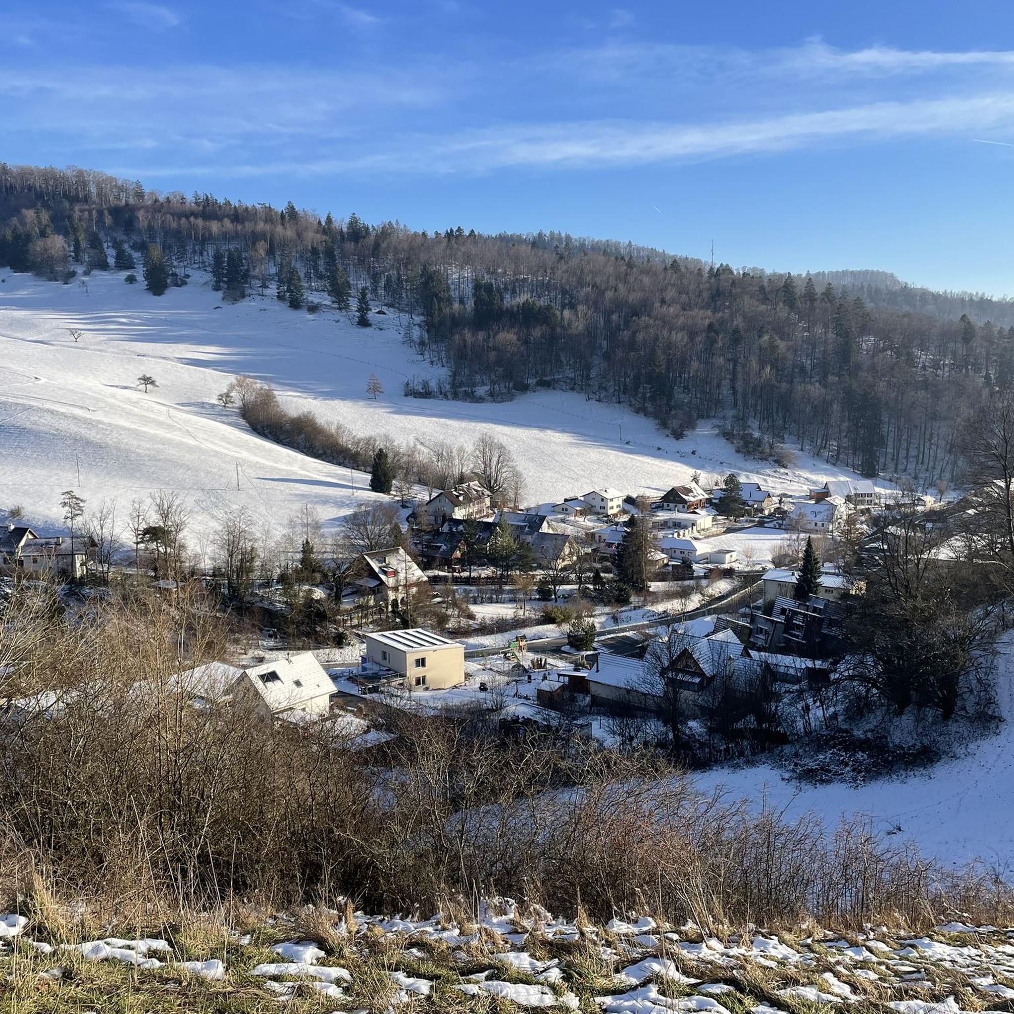
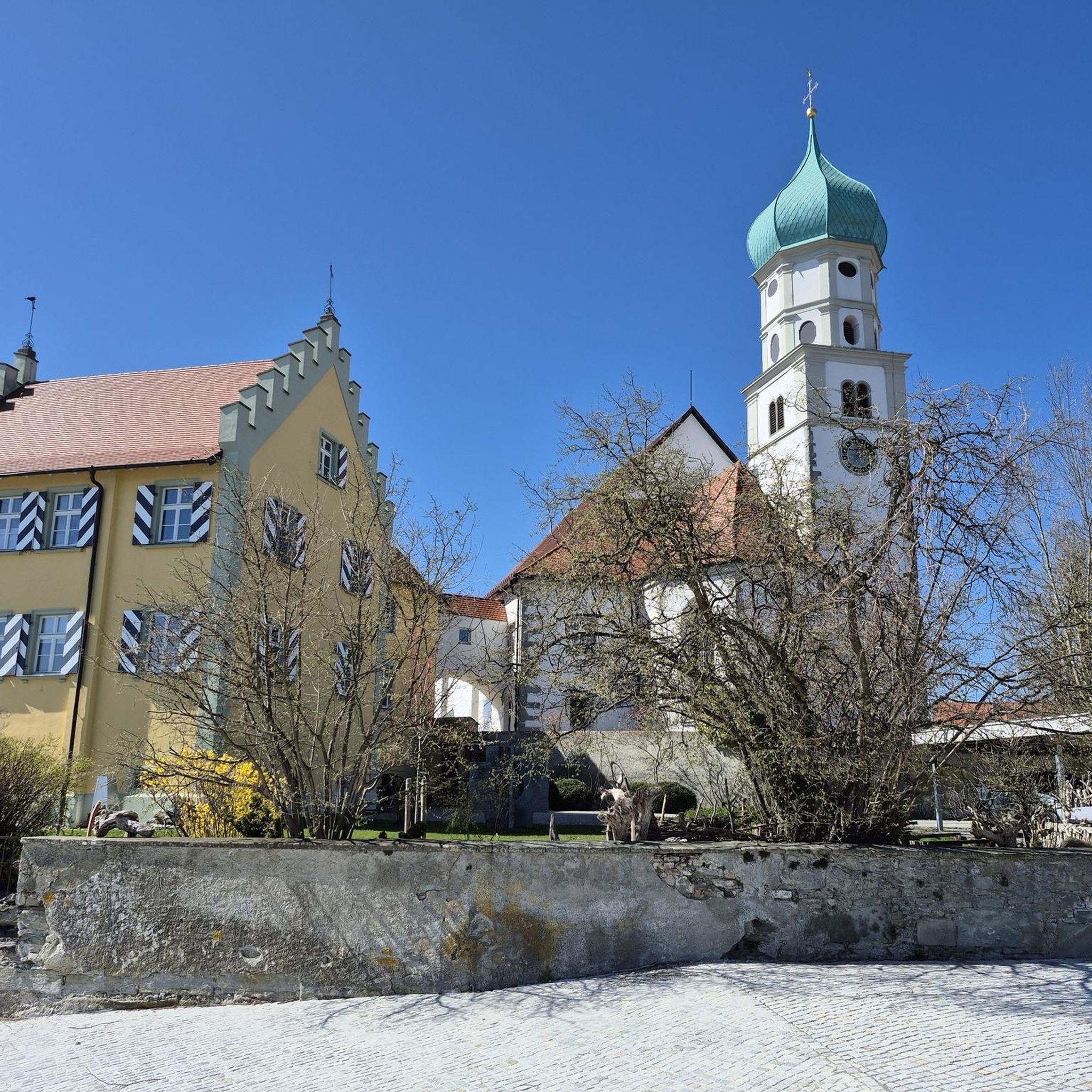
Other adventures around Langenbruck

Tips from the Community

Quiet mountain road with excellent surface. Some commuters during rush hour.
0
0

Great mountain stage to the Chilzimmersattel past the Schönthal monastery in picturesque landscape
0
0


A challenging pass in the Tafeljura, the climb is made up of a small road with a maximum gradient of 15% and little traffic. The scenery is very scenic, with magnificent panoramas along the way.
1
1

Nice hike down to the Rhine - a good 30 km.
1
1

Rest area with parking spaces. Shortest starting point for the hike to the Belchenfluh.
9
1

The climb from Hägendorf to Langenbruck over the Teufelsschlucht is a highlight in itself, and the further climb to the Chilchzimmersattel is the masterpiece. Good road surface, but gradients of up to 15% make the wonderful views hard-earned!
0
0
A very tough climb from both sides, with gradients in some places well into the double figures, but the views during the ride and from the saddle are phenomenal. The World War I Fortification Memorial Trail is also recommended.
3
1
Frequently Asked Questions
What historical significance do the mountain passes around Langenbruck hold?
The region's mountain passes, particularly the Oberer Hauenstein Pass, boast a rich history dating back to Roman times. It was part of a crucial route connecting ancient cities like Aventicum and Augusta Raurica. Excavations have revealed sections of an old Roman road, believed to be the origin of Langenbruck's name, which visitors can still explore near the pass.
What are some of the most scenic viewpoints near the mountain passes?
Hikers and visitors are rewarded with spectacular panoramas of the Jura landscape. Elevated points like the Belchenflue offer distant vistas of the Alps. The Chräiegg lookout point, accessible via a trail around the Oberer Hauenstein Pass, provides particularly beautiful views of Langenbruck and its surroundings. For specific passes, Schelten Pass from Ramiswil and Chilchzimmersattel Ascent from Langenbruck are noted for their viewpoints.
Are there family-friendly activities or trails around the mountain passes?
Yes, the region around the Oberer Hauenstein Pass offers trails suitable for families. Langenbruck Tourism introduced five well-marked loop trails, including one that highlights the historic Roman road, making the area attractive for family excursions. These range from easy walks to more challenging routes.
What outdoor activities can I do near the mountain passes around Langenbruck?
Beyond exploring the passes themselves, the region provides diverse outdoor pursuits. You can find extensive networks for hiking, cycling, and mountain biking. During winter, Langenbruck transforms into a winter sports destination with options for snowshoeing and cross-country skiing. For more detailed routes, explore the hiking, cycling, and MTB guides around Langenbruck.
Where can I find parking for hikes to the mountain passes?
The Chilchzimmersattel is a popular mountain pass that offers a rest area with convenient parking spaces, serving as a shortest starting point for hikes to the Belchenfluh.
What is the best time of year to visit the mountain passes?
The region is enjoyable throughout the year. Spring to autumn offers ideal conditions for hiking, cycling, and mountain biking. During the winter months, Langenbruck becomes a destination for snowshoeing and cross-country skiing, with two ski lifts available in the canton.
Are there challenging climbs for cyclists or hikers?
Yes, several passes offer challenging ascents. The Schelten Pass from Ramiswil involves a 13 km climb with varying gradients. The Chilchzimmersattel Ascent from Langenbruck features sections with gradients of 10 to 15%. The Hauenstein Military Road to the Belchenflue is also known for its long and steep ascent.
What makes the Breitenhöchi Pass unique for cyclists?
The Breitenhöchi Pass is considered a racing cyclist's dream. The road leading up to it is a two-lane asphalt band in excellent condition, offering many views and a moderate slope up to 845 meters. From the top, you can see far into the Guldental or down to the Upper Hauenstein.
Can I find circular walks around the mountain passes?
Yes, the Oberer Hauenstein Pass serves as a central hub for a vast network of hiking trails, including several circular walks. Popular routes include loops from Langenbruck to the Belchenflue Summit and the Fortification Hauenstein. Langenbruck Tourism has also marked five specific loop trails, one of which highlights the historic Roman road.
What do visitors enjoy most about the mountain passes around Langenbruck?
Visitors frequently praise the breathtaking views, the rich historical context, and the variety of trails available for different skill levels. Many appreciate the peacefulness and the opportunity to connect with nature, often highlighting the well-maintained paths and the rewarding vistas from summits like the Belchenflue.
Are there options for public transport access to the mountain passes?
While specific public transport routes to every pass vary, Langenbruck itself is a municipality within the Jura Mountains, and local public transport services typically connect to key points in the region. It's advisable to check local bus schedules for connections to trailheads or specific passes.
Most popular routes around Langenbruck
Most popular attractions around Langenbruck

Get inspired with the komoot mobile app


Explore more
See even more epic mountain passes by checking out these guides around Langenbruck:
