Top 7 Mountain Passes around Loßburg
Mountain passes around Loßburg are characterized by elevated landscapes within the Black Forest, offering numerous scenic viewpoints and extensive hiking trails. The region, situated at altitudes from 600 to 800 meters above sea level, provides an experience of traversing mountainous terrain through its varied routes. These areas showcase the natural beauty and significant elevation changes of the Black Forest.
Best mountain passes around Loßburg
- The most popular mountain passes is Freiersberger Gate, a man_made_monument that consists of three large…
Last updated: July 7, 2026
Freiersberger Gate
Highlight • Monument
Showing Translation
Tip by

Kniebis Pass (942 meters)
Highlight • Mountain Pass
Showing Translation
Tip by

Sign up now to discover places like this
Get recommendations on the best single tracks, peaks, & plenty of other exciting outdoor places.
Sign up for free
Griesbacher Steige & Matthias Erzberger Memorial
Highlight (Segment) • Mountain Pass
Translated by Google •
Tip by
Zwieselberg
Highlight • Settlement
Translated by Google •
Tip by

Reinerzauer Steige
Highlight (Segment) • Mountain Pass
Translated by Google •
Tip by

Sign up for free to discover even more mountain passes around Loßburg.
Sign up for free
Already have an account?
Start today with a free account
Your next adventure awaits.
Login or Signup
Popular around Loßburg
Kinzigtäler Jakobusweg – With Jakob through the Black Forest
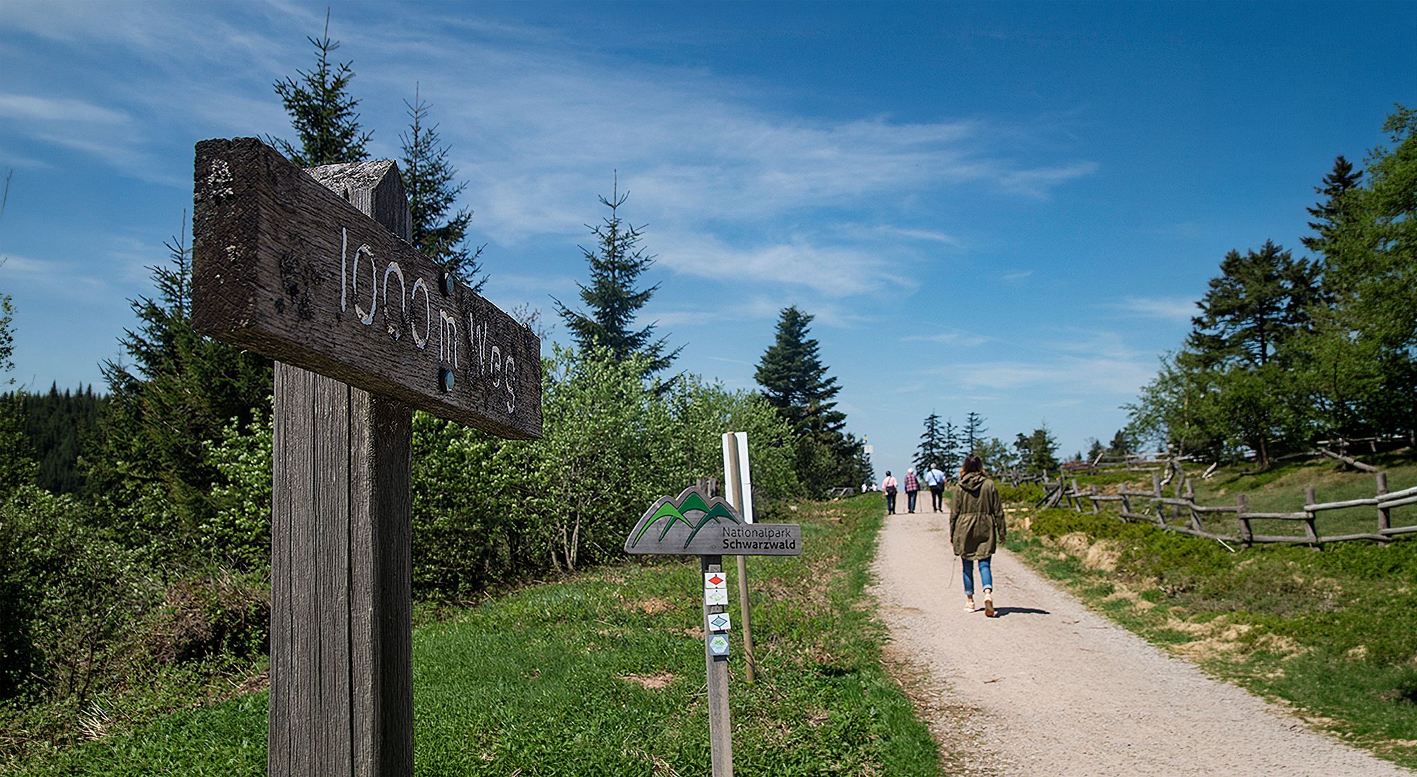
Barrier-free hikes in the Black Forest National Park
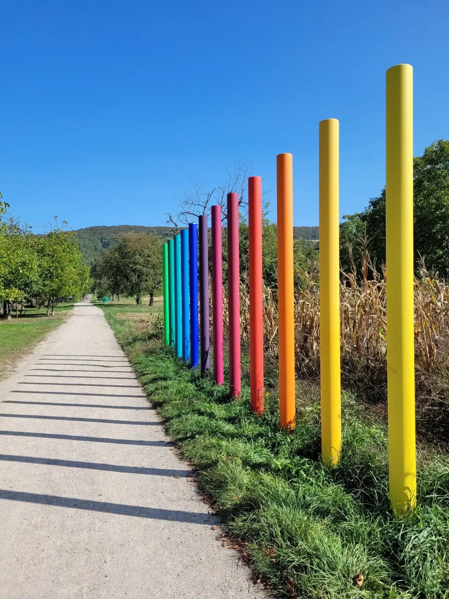
Outdoor Art – art trails in the Black Forest
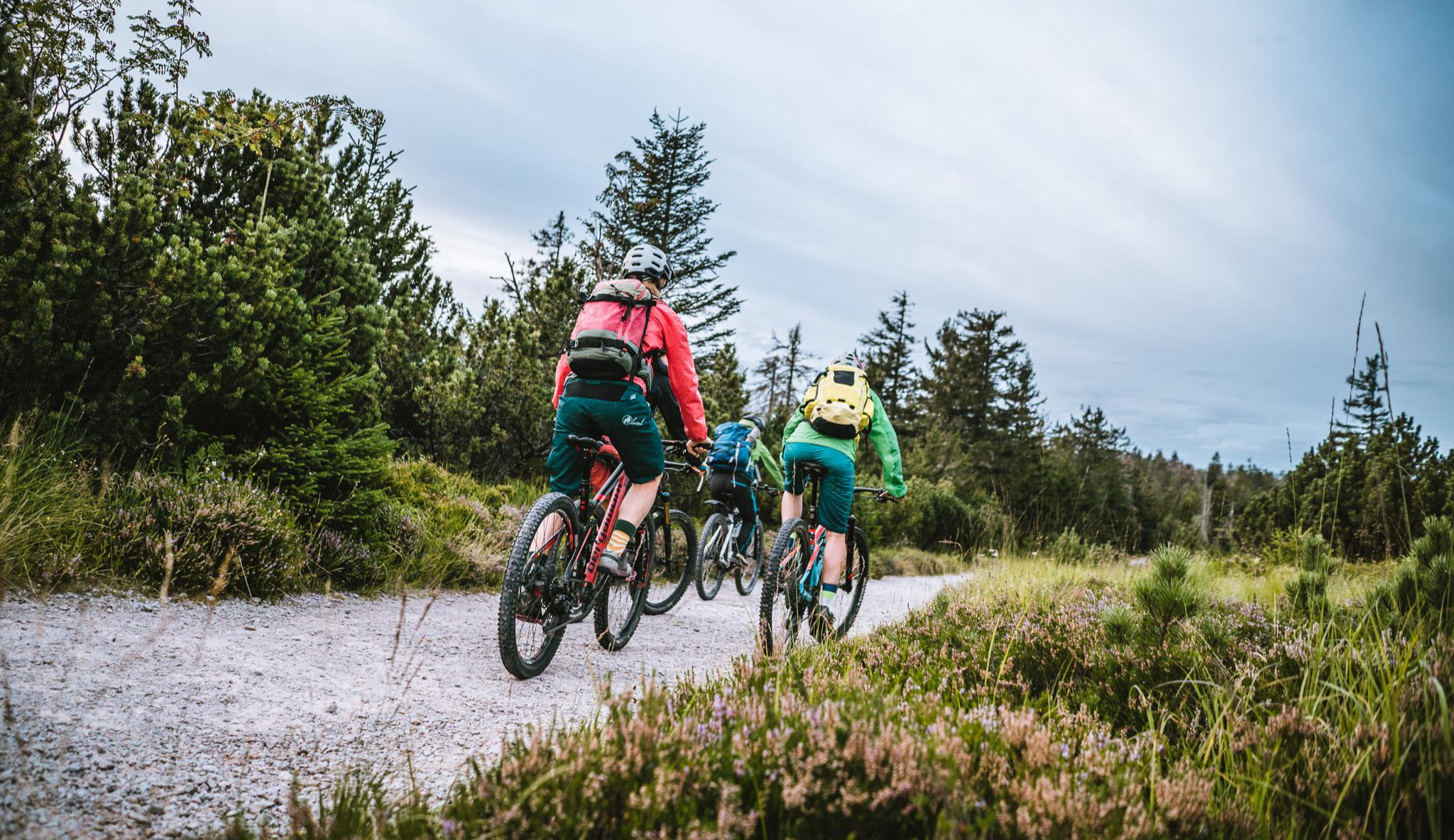
Let's gravel! Superb riding in the Black Forest National Park
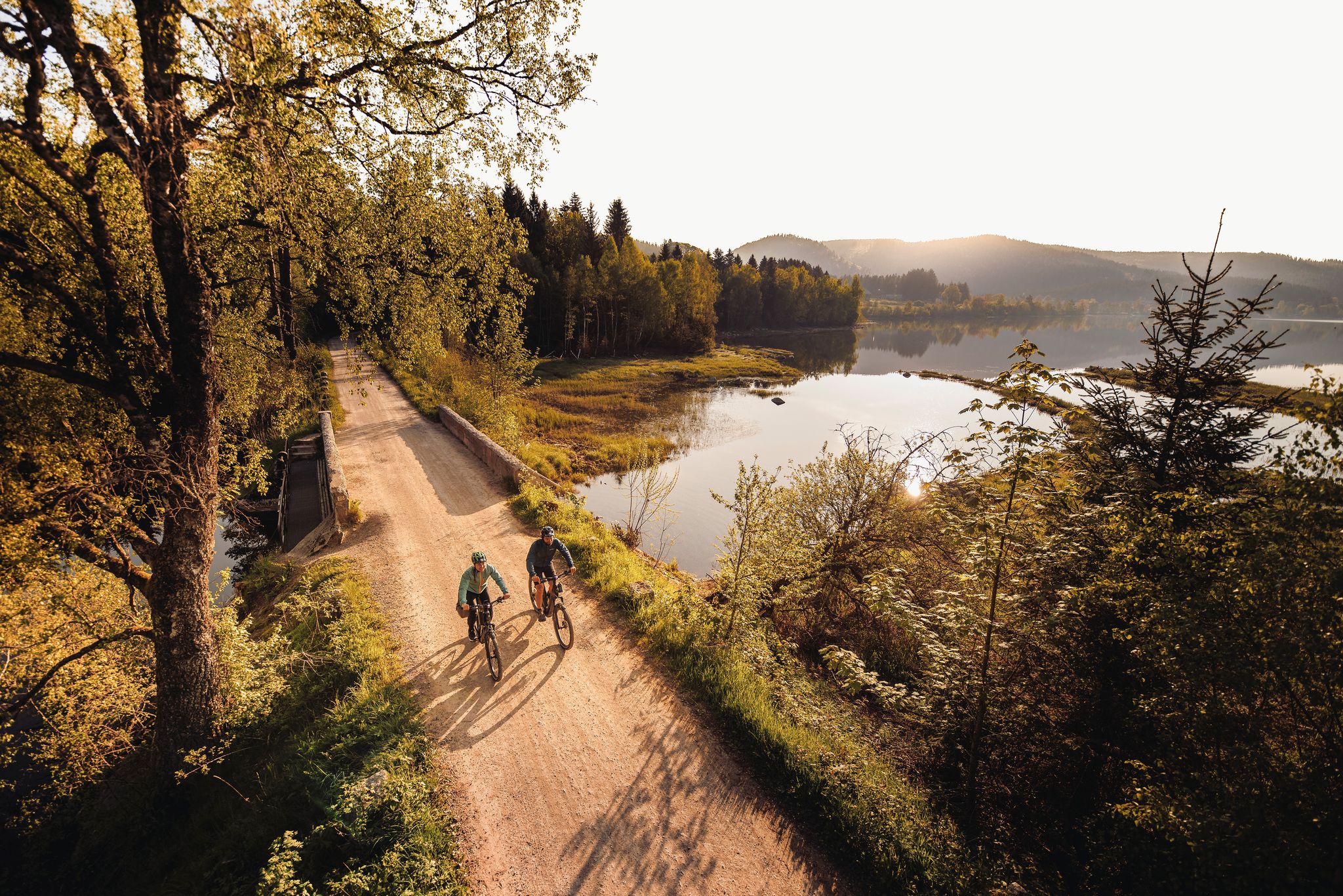
By the water – along the rivers and lakes of the Black Forest
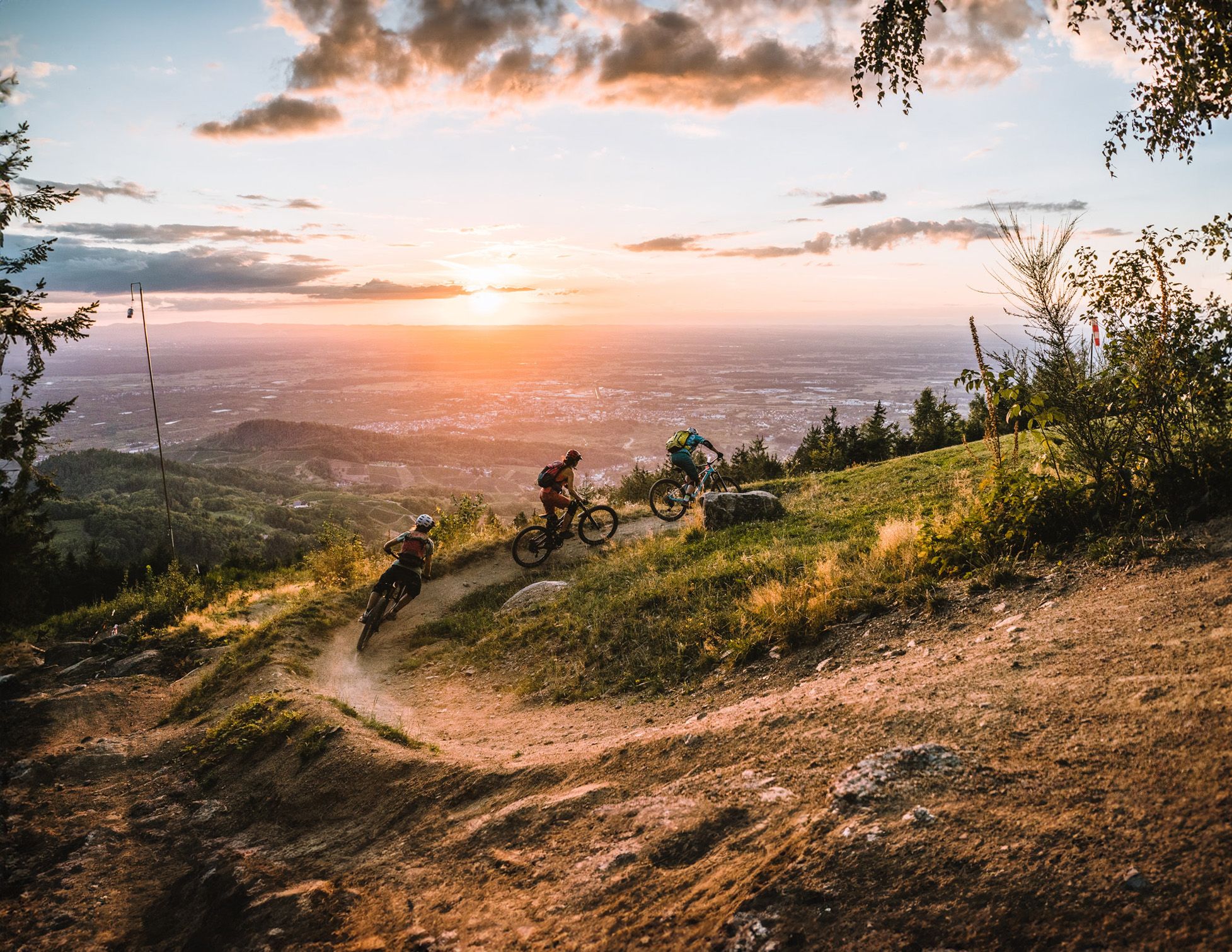
Discover the Black Forest on flowy trails
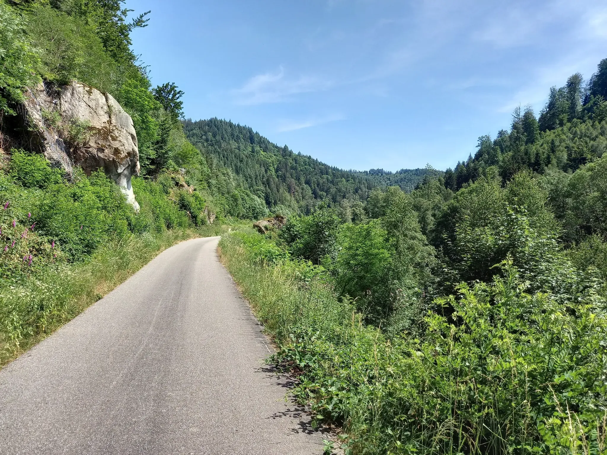
Exploring Southern Germany – Karlsruhe to Constance by bike
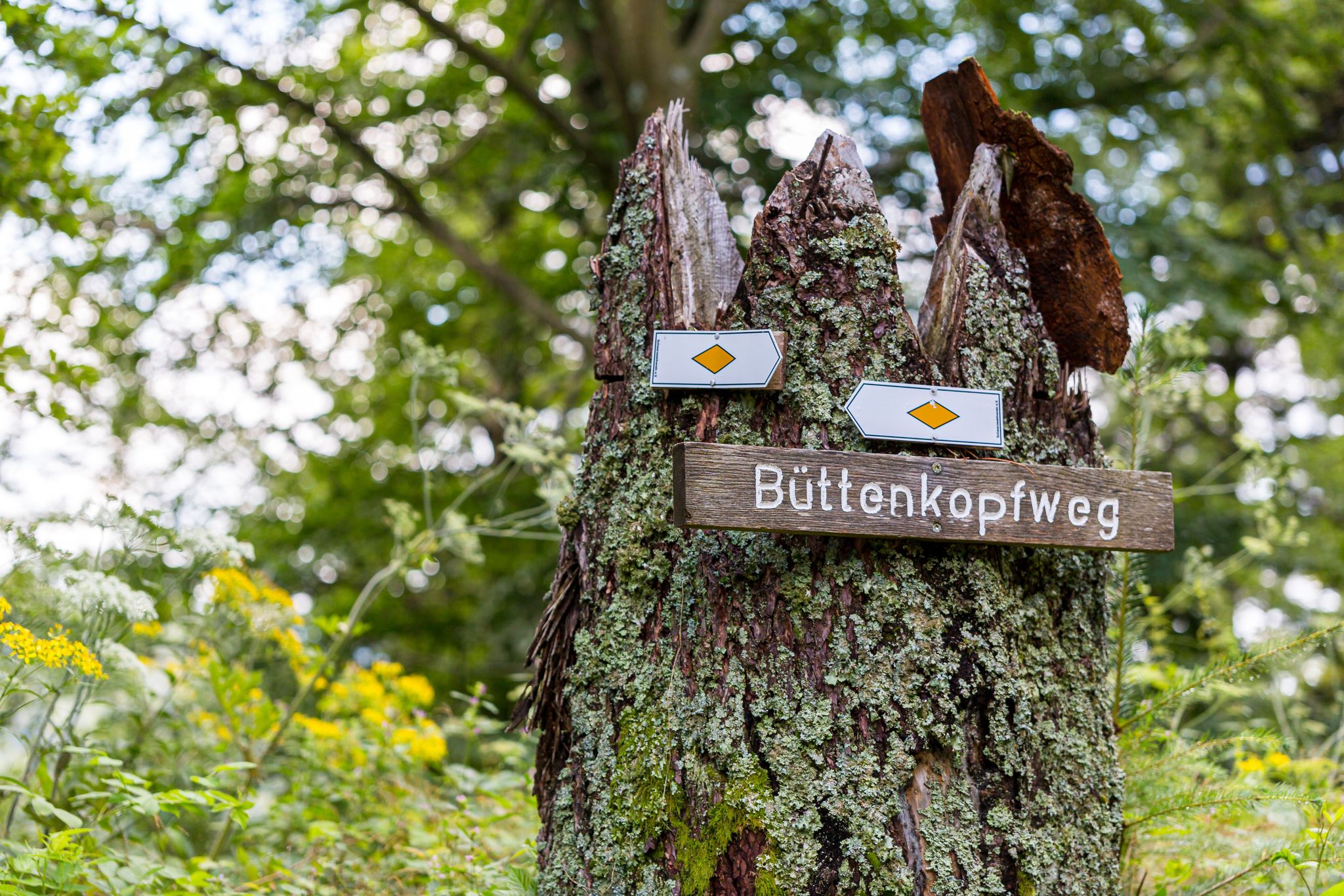
Trekking Schwarzwald 8-day tour from Forbach to Alpirsbach
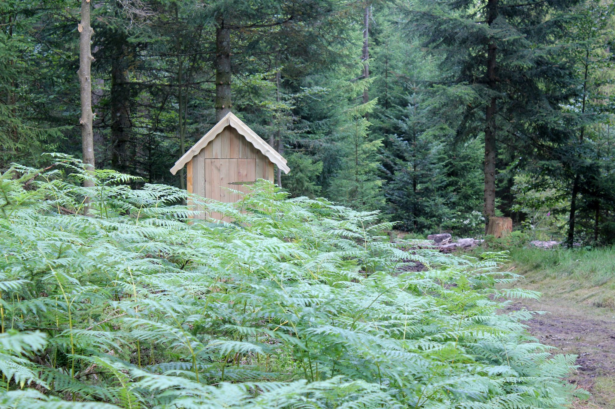
Trekking Black Forest 7-day tour from Alpirsbach to Biberach
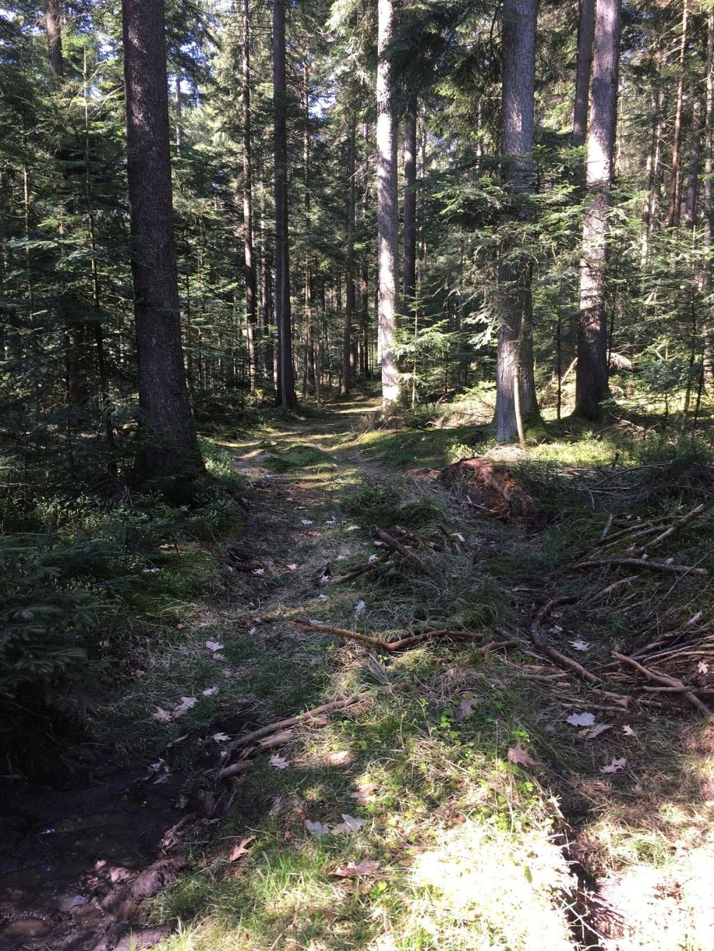
Trekking Schwarzwald 7-day tour from Malschbach to Alpirsbach
Other adventures around Loßburg


Tips from the Community

Not all that steep, if you expect the promised 20%. Coming from Reinerzau, the 12% average over approximately 1.6km is still decent. The gradient definitely remains in the double digits throughout, reaching approximately 15%. For the lower 800m near Reinerzau, the surface is immaculate, having been resurfaced, but unfortunately, the rest is quite bumpy – so be careful on the descent! There might also be the occasional car on the road. Although the section after Alpirsbach is a bit flatter, you should still brake regularly to avoid speeding at 60-70 km/h into a 30 km/h zone.
1
0

If you want to ride the Griesbacher Steige, I recommend doing it as early as possible on the weekend. Sometimes there is heavy motorcycle and car traffic!! Your guide Werner
1
0

There are several hiking trails available up here. They are versatile and cross-field in, around and through the forests.
2
0

Coming from the west, I would take the Oppenauer Steige or up via Maisach. It's definitely quieter there.
2
0


Beautiful route Freudenstadt - Kniebis
3
1

The B28 will be renovated from the outskirts of Bad Griesbach to the junction with the B 500 at Alexanderschanze. From June 20, 2022 until probably Saturday August 20, 2022. Driving through is not tolerated.
2
0

My recommendation: down, because then you can keep up with the speed of traffic. There are a lot of motorbikes here in summer and not everyone is considerate (distance and such).
4
1
Frequently Asked Questions
What kind of elevated landscapes and routes can I explore around Loßburg?
Around Loßburg, you'll find elevated landscapes that offer experiences similar to traditional mountain passes. These include scenic viewpoints, extensive hiking trails, and routes with significant elevation changes. The region, situated at altitudes from 600 to 800 meters above sea level, showcases the natural beauty of the Black Forest.
Are there any prominent viewpoints or towers offering panoramic views?
Yes, the Vogteiturm (Vogtei Tower) on the Rodter Höhe is a prominent lookout. Standing 35 meters tall, it provides expansive panoramic views across the Black Forest region. On clear days, you can even see as far as the Neckar floodplain and the Swabian Alps from its 31-meter-high viewing platform.
Which mountain passes offer historical significance?
The Griesbacher Steige & Matthias Erzberger Memorial is a notable mountain pass with a historical site. Visitors can experience a route with attractive landscapes and a memorial stone dedicated to Matthias Erzberger.
Are there any easy or family-friendly elevated routes to explore?
Yes, Zwieselberg is a settlement and summit that offers an easy and pleasant climb. It marks the highest point of the route between Bad Rippoldsau and Freudenstadt and is considered family-friendly. Additionally, the "Zauberland an der Kinzig" features family-friendly circular hiking trails with adventure and nature-themed attractions.
What are some challenging routes for experienced hikers or cyclists?
For a challenging experience, consider the Reinerzauer Steige. This mountain pass is known for being really steep and crisp, with an average gradient of almost 20% and a maximum of 22% in some sections, making it a demanding route through the forest.
What outdoor activities can I do near these elevated areas?
The region offers diverse outdoor activities. You can find numerous hiking trails, from leisurely strolls to more challenging hikes. There are also options for sporty mountain biking and road cycling. For specific routes, explore guides like Cycling around Loßburg or Easy hikes around Loßburg.
Are there specific starting points or facilities near these routes?
The Freiersberger Gate, a man-made monument, serves as a starting point for hikes and has the Freiersberger hut nearby. It also has a hiking car park, making it accessible for visitors.
What is the best time to visit Loßburg for exploring its elevated landscapes?
While specific seasonal data for all passes isn't available, clear days are ideal for enjoying the panoramic views from spots like the Vogteiturm. Summer can see more motorbike traffic on routes like the Griesbacher Steige, so weekdays might offer a quieter experience on some roads.
Can I find routes suitable for road cycling?
Yes, the Freudenstadt–Kniebis Road is a brisk route popular for road cycling. While it can be busy on weekends, the road is wide and the asphalt is excellent. You can find more road cycling options in the Road Cycling Routes around Loßburg guide.
What natural features can I expect to see along these routes?
You'll encounter diverse natural features, including dense forests with ancient fir trees, serene landscapes, and the picturesque setting of the "Zauberland an der Kinzig" which surrounds the source of the Kinzig River. Many routes offer immersive experiences in unspoiled nature.
Are there any circular hiking trails available?
Yes, the "Zauberland an der Kinzig" offers family-friendly circular hiking trails. Additionally, the nearby routes data indicates several loop trails, such as the "Kinzig Spring – Kinzig Lake loop from Loßburg" for easy hikes.
Most popular routes around Loßburg
Most popular attractions around Loßburg

Get inspired with the komoot mobile app


Explore more
See even more epic mountain passes by checking out these guides around Loßburg:
