Top 5 Mountain Passes around Frauenwald
Best mountain passes around Frauenwald are found in the Thuringian Forest, a region known for its mountainous landscape. Frauenwald is situated on a ridge between the Nahetal and Schleusetal valleys, offering numerous scenic routes and trails. The area provides diverse opportunities for exploring dense forests and open spaces, with many routes leading to panoramic viewpoints.
Best mountain passes around Frauenwald
- The most popular mountain pass is Schneekopf North Ascent, a challenging climb that features one of the largest ascents…
Last updated: August 16, 2026
Scenic Mountain Road to Steinbach
Highlight (Segment) • Trail
Translated by Google •
Tip by

Hohe Tanne
Highlight • Mountain Pass
Translated by Google •
Tip by

Sign up now to discover places like this
Get recommendations on the best single tracks, peaks, & plenty of other exciting outdoor places.
Sign up for free
Schneekopf North Ascent
Highlight (Segment) • Mountain Pass
Translated by Google •
Tip by
Highest Paved Point of the Thuringian Forest (942 m)
Highlight • Mountain Pass
Translated by Google •
Tip by
Mountain Road Between Gießübel and Schwalbenhaupt
Highlight (Segment) • Mountain Pass
Translated by Google •
Tip by

Sign up for free to discover even more mountain passes around Frauenwald.
Sign up for free
Already have an account?
Start today with a free account
Your next adventure awaits.
Login or Signup
Popular around Frauenwald
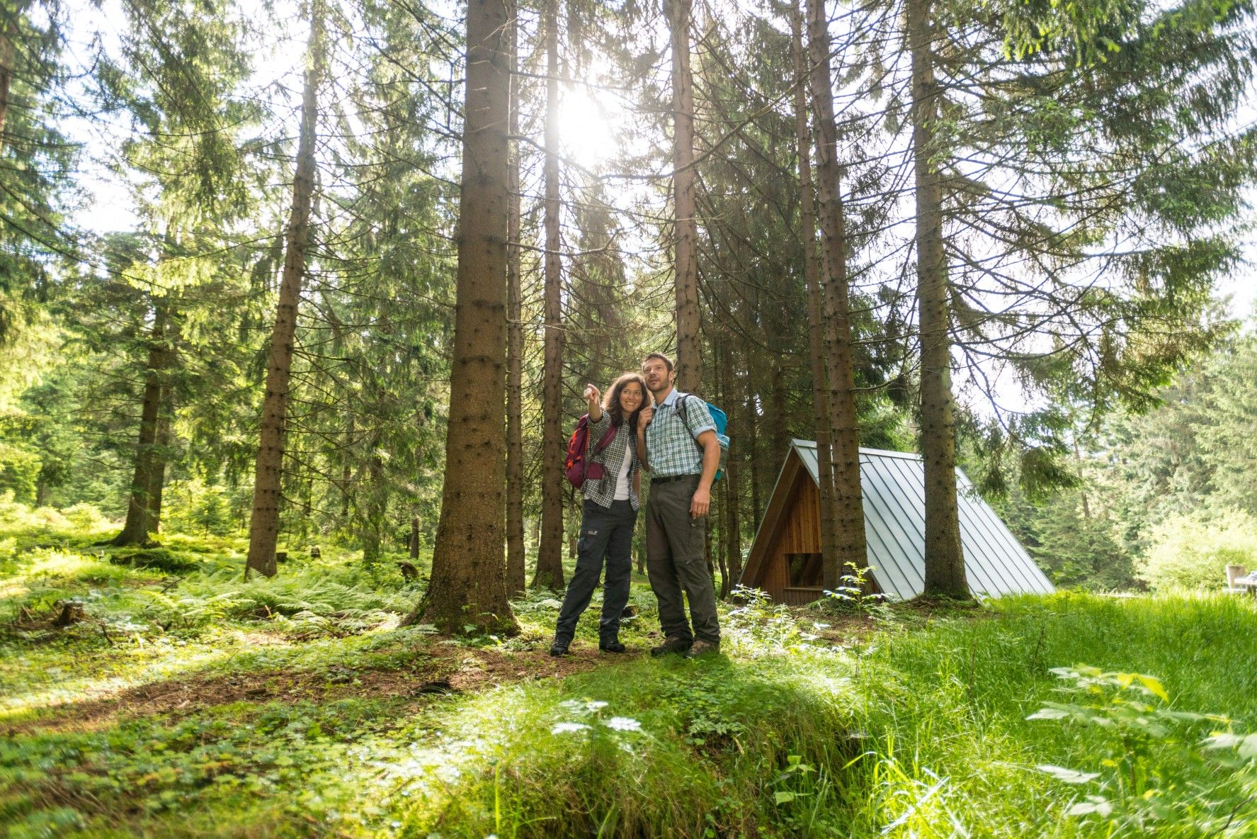
The Rennsteig — Thuringia's most beautiful hiking route
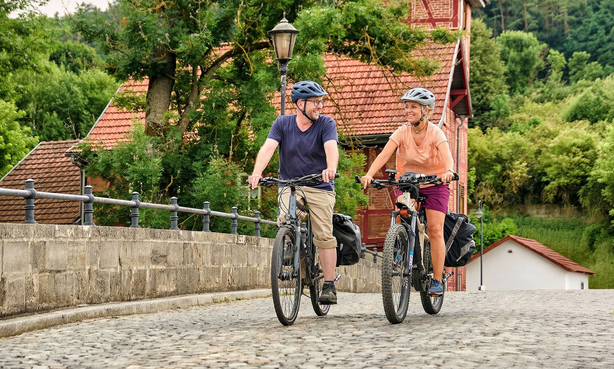
Leisure cycling and touring in Thuringia
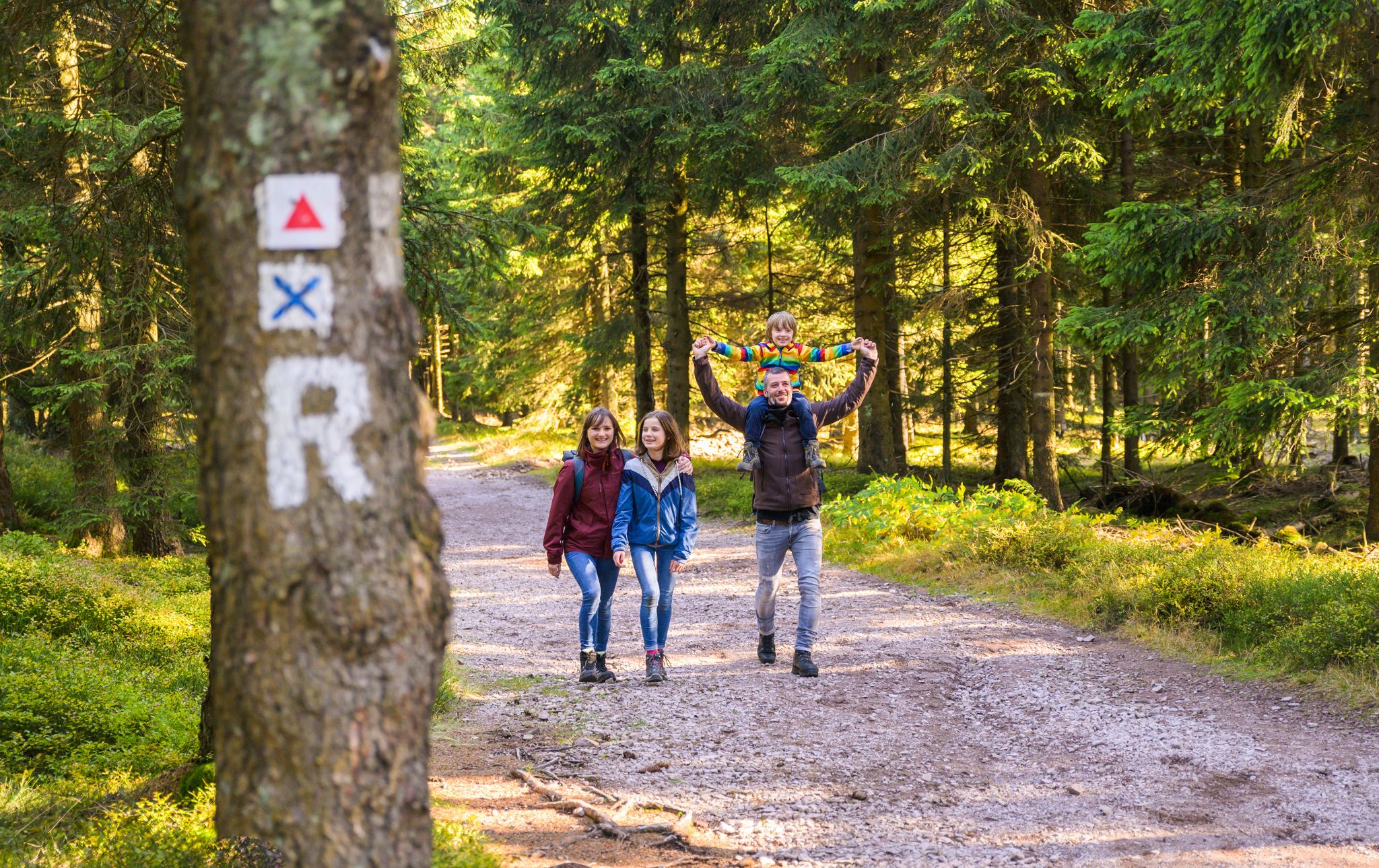
Play, nature and good fun – family hikes in the Thuringian Forest
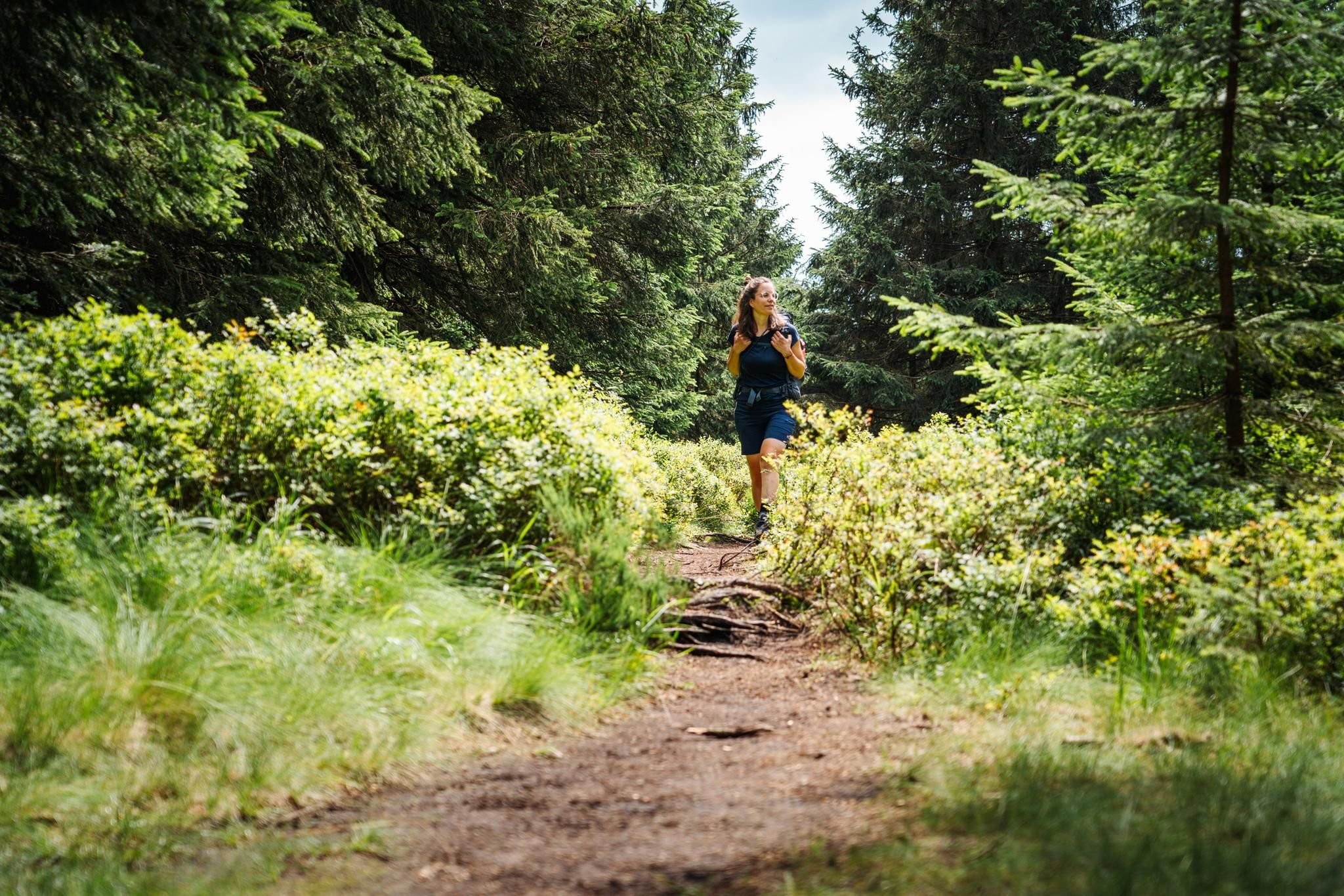
The Thuringian Forest calls – long-distance hiking on the Rennsteig

Long distance hiking trails in the Thuringian Forest
Hiking around Frauenwald
MTB Trails around Frauenwald
Road Cycling Routes around Frauenwald
Cycling around Frauenwald
Running Trails around Frauenwald
Other adventures around Frauenwald


Tips from the Community

Comfortable pass ride with moderate gradients.
0
0
Comfortable pass ride, the gradient is kept well within limits.
0
0


Finally, there is a sign again - perfect as a "reminder"
0
0

From here it is downhill in all directions for a long time. The route from here via Oberhof into the Geratal is very beautiful.
1
0
The highest point of the Ilmenau - Großbreitenbach railway cycle path. See also https://www.quaeldich.de/paesse/hohe-tanne/ and http://www.bahntrassenradeln.de/details/th22.htm The high fir tree (701 m) lies in a saddle between the Langen Berg (808 m) and the Rennsteig approx. 850. You can decide here whether you want to * go up to the Rennsteig to Neustadt * continue on the railway cycle path to Großbreitenbach - Altenfeld * go down into the Schwarzatal * head northeast towards Rinnetal - Saalfeld * go down to Ilmenau on the tarred railway cycle path * or go down to Ilmenau on the country road. The best way to get from the railway cycle path is by racing bike *west/south through an industrial site and the HohenTanne road to the bridge and back to the roads == == ______hohe Tanne--____// __C____________________)(________>_Ilmenau railway cycle path //
0
0

A dream for racing cyclists 🤩
0
0

…Would have been on the sign if it hadn't been stolen.
1
0
Frequently Asked Questions
What are some of the most scenic mountain routes and viewpoints around Frauenwald?
The Frauenwald region, nestled in the Thuringian Forest, offers numerous scenic routes and viewpoints. Notable options include the challenging Schneekopf North Ascent, which leads to the highest asphalted point in the region, and the Scenic Mountain Road to Steinbach, known for its curves and excellent surface. For panoramic vistas, the View from Kohlberg provides extensive views, even reaching the Thuringian Rhön.
Are there challenging climbs for cyclists in Frauenwald?
Yes, cyclists looking for a challenge will find it in Frauenwald. The Schneekopf North Ascent is one of the largest climbs in the Thuringian Forest, featuring about 540 vertical meters and an average gradient of 8% (with sections up to 15%). It leads to the highest asphalted point in the region at 942 meters above sea level.
What kind of road conditions can I expect on the mountain routes?
Many mountain routes in the Frauenwald area feature excellent road conditions. For instance, the Scenic Mountain Road to Steinbach is praised for its impeccable surface, and the Mountain Road Between Gießübel and Schwalbenhaupt is known for its excellent asphalt and sweeping curves, making it enjoyable for both uphill and downhill travel.
Are there any mountain passes suitable for family outings or less experienced visitors?
While some routes are challenging, the region offers diverse terrain. The Scenic Mountain Road to Steinbach has a varied gradient, with the lower half to Steinbach meandering through beautiful curves at a moderate 4% to 6% gradient, which might be more accessible. Additionally, the broader Thuringian Forest offers many trails with varying difficulties, such as the Panoramaring Frauenwald, which is relatively easy and accessible.
What outdoor activities can I do near the mountain passes in Frauenwald?
The Frauenwald region is excellent for various outdoor activities. You can explore numerous road cycling routes, such as those found in the Road Cycling Routes around Frauenwald guide. For runners, there are many trails, including those highlighted in the Running Trails around Frauenwald guide. Mountain biking is also popular, with routes like those in the MTB Trails around Frauenwald guide.
What is the best time to visit Frauenwald for mountain routes?
Frauenwald is a popular destination throughout the year. During warmer months, it's ideal for hiking, cycling, and exploring the scenic routes. In winter, the region transforms into a winter sports paradise, offering around 30 kilometers of groomed cross-country ski runs and ski hiking trails, such as the 'Great Frauenwaldrunde' Ski Hiking Path.
Are there any historical or cultural points of interest near the mountain routes?
Yes, the region has historical significance. The famous Rennsteig ridge-top hiking trail, a historic route, passes near Frauenwald. Additionally, the Laurabahn Adventure Trail, which commemorates the region's transport history, leads past the bunker museum, offering insights into GDR history.
What are the views like from the mountain passes and viewpoints?
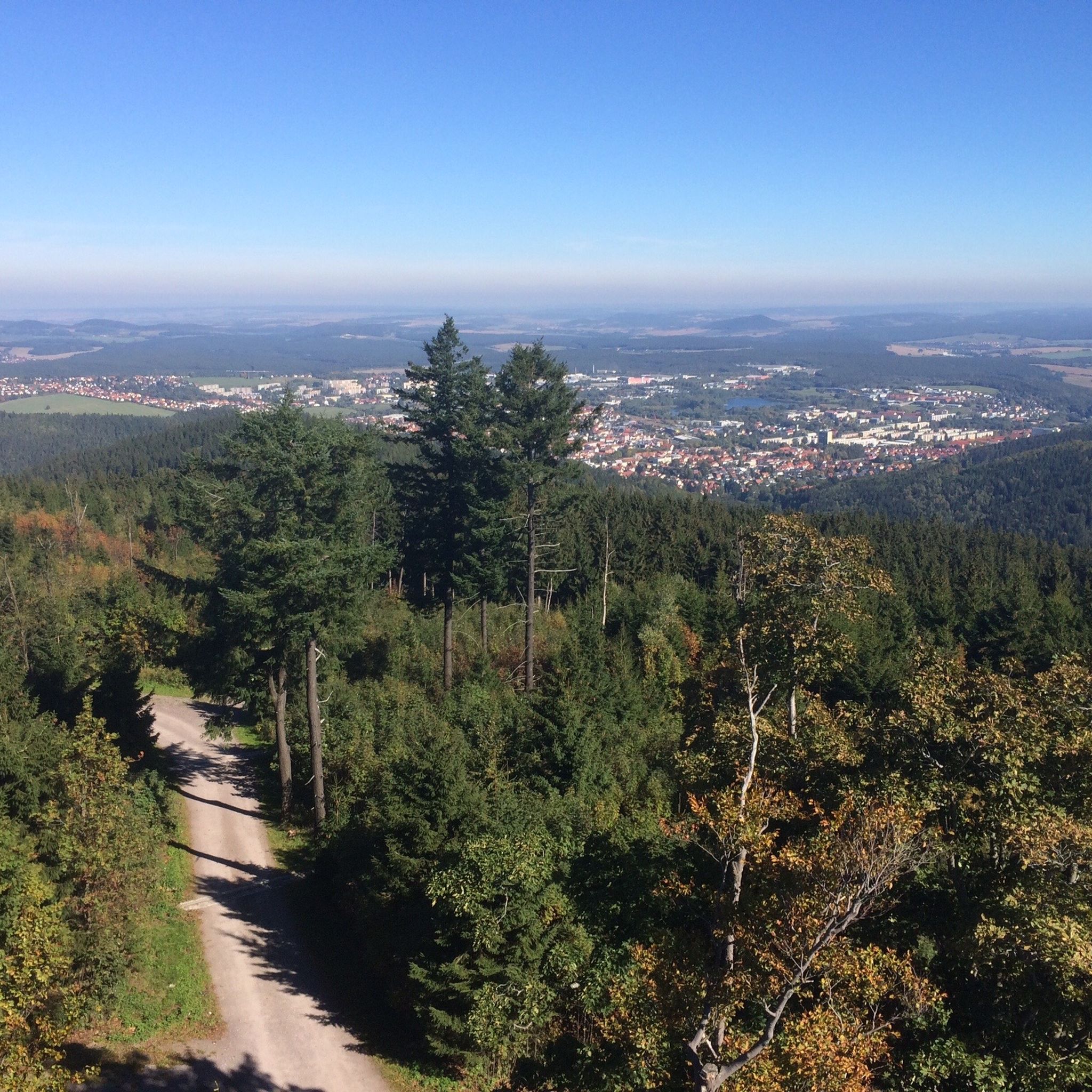
The views from Frauenwald's mountain routes and viewpoints are often panoramic and far-reaching. From the View from Kohlberg, you can see in multiple directions, extending as far as the Thuringian Rhön. The Schneekopf, the second-highest elevation in Thuringia, also offers magnificent panoramic views of the Thuringian Forest and beyond, including the Rhön and even the Brocken in the Harz Mountains on clear days.
Can I find routes that combine cycling and historical sites?
Yes, the region offers such combinations. For example, the Hohe Tanne is a point on the Ilm-Rennsteig Radweg, a railway cycle path, allowing you to cycle while being close to the historic Rennsteig trail. This area provides options to continue towards various towns or down into valleys.
What do visitors say about the mountain roads in Frauenwald?
Visitors frequently praise the quality and enjoyment of the mountain roads. For example, the Scenic Mountain Road to Steinbach is described as 'breathtakingly beautiful' and having an 'impeccable surface' with 'lots of fun cornering'. The Mountain Road Between Gießübel and Schwalbenhaupt is also noted for its 'excellent asphalt and sweeping combination', making it 'a lot of fun'.
Are there opportunities for winter sports near Frauenwald's mountain routes?
Absolutely. Frauenwald is well-equipped for winter sports. The region boasts approximately 30 kilometers of groomed cross-country ski runs and ski hiking trails. Routes like the 'Great Frauenwaldrunde' Ski Hiking Path lead past points of interest and offer options for both classic and skating ski techniques, with a café available at the Rennsteig station.
How accessible are the mountain routes by public transport?
While specific public transport details for each route vary, Frauenwald itself serves as an excellent base for exploring the surrounding mountainous routes. The Rennsteig station, which is part of the historic Rennsteig trail, is also a point of interest and can be a starting or connecting point for various trails.
Most popular routes around Frauenwald
Most popular attractions around Frauenwald

Get inspired with the komoot mobile app


Explore more
See even more epic mountain passes by checking out these guides around Frauenwald:
