Top 20 Natural Monuments around Bayrischzell
Natural monuments around Bayrischzell are characterized by alpine landscapes, including mountains, lakes, and waterfalls. This region in the Bavarian Alps offers diverse outdoor activities. Bayrischzell is recognized as a climatic health resort, providing an environment for exploring its natural features. The area features numerous hiking trails that traverse its alpine terrain.
Best natural monuments around Bayrischzell
- The most popular natural monuments is Rotwand summit, a summit that offers expansive views. This 1885-meter peak is the highest in the immediate…
Last updated: September 26, 2026
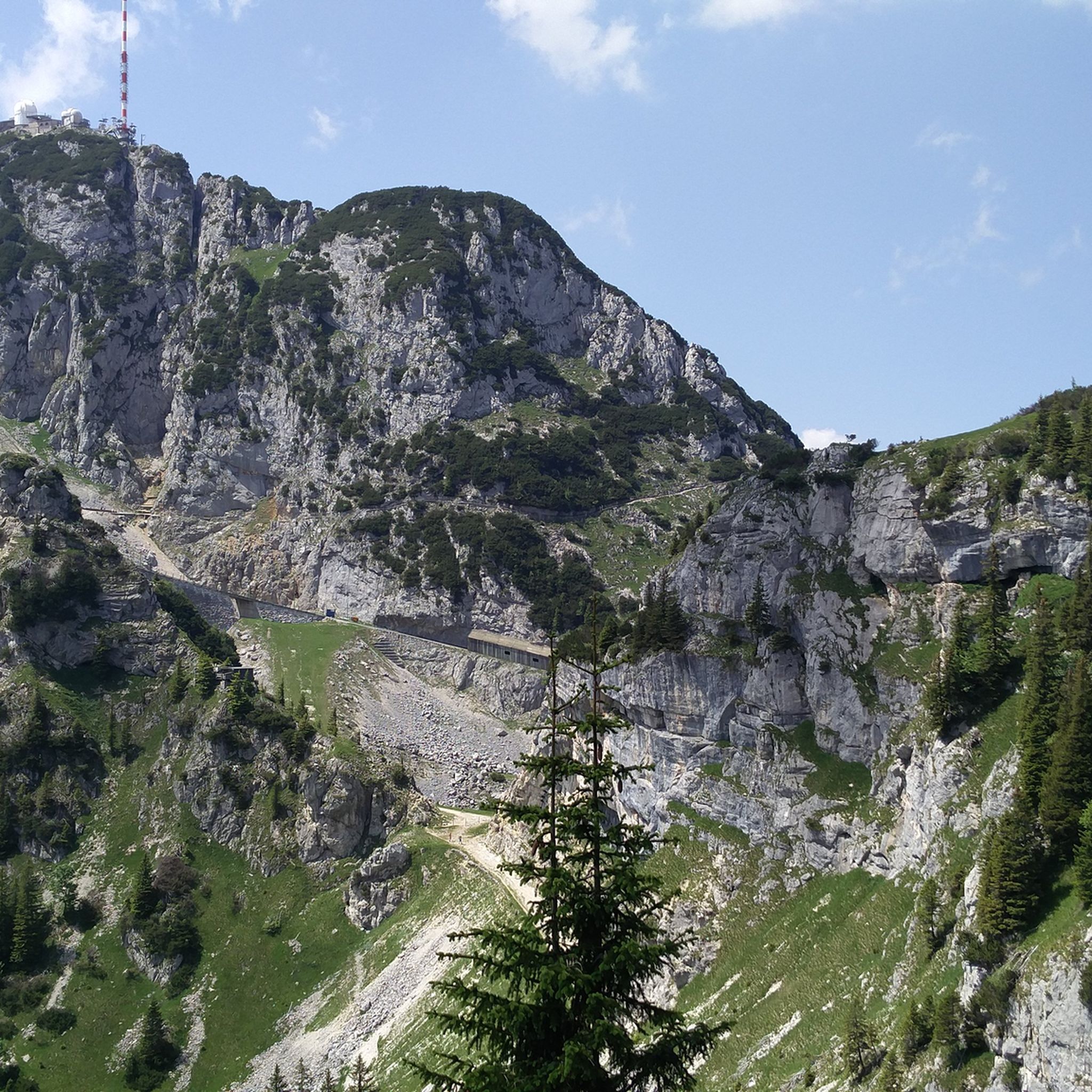
Wendelstein Summit
Highlight • Summit
Translated by Google •
Tip by

Rotwand summit
Highlight • Summit
Walk well, even with children, only the last end a bit impractical
Food optimal at the Rotwandhaus below, great kitchen
Translated by Google •
Tip by

Sign up now to discover places like this
Get recommendations on the best single tracks, peaks, & plenty of other exciting outdoor places.
Josefsthal Waterfalls
Highlight • Waterfall
Translated by Google •
Tip by

Taubenstein Peak
Highlight • Summit
Translated by Google •
Tip by

Wallberg Summit
Highlight • Summit
Well attended on weekends and public holidays. In winter, Grödel is recommended for the last 100 meters in altitude.
Translated by Google •
Tip by

Sign up for free to discover even more natural monuments around Bayrischzell.
Already have an account?
Start today with a free account
Your next adventure awaits.
Popular around Bayrischzell
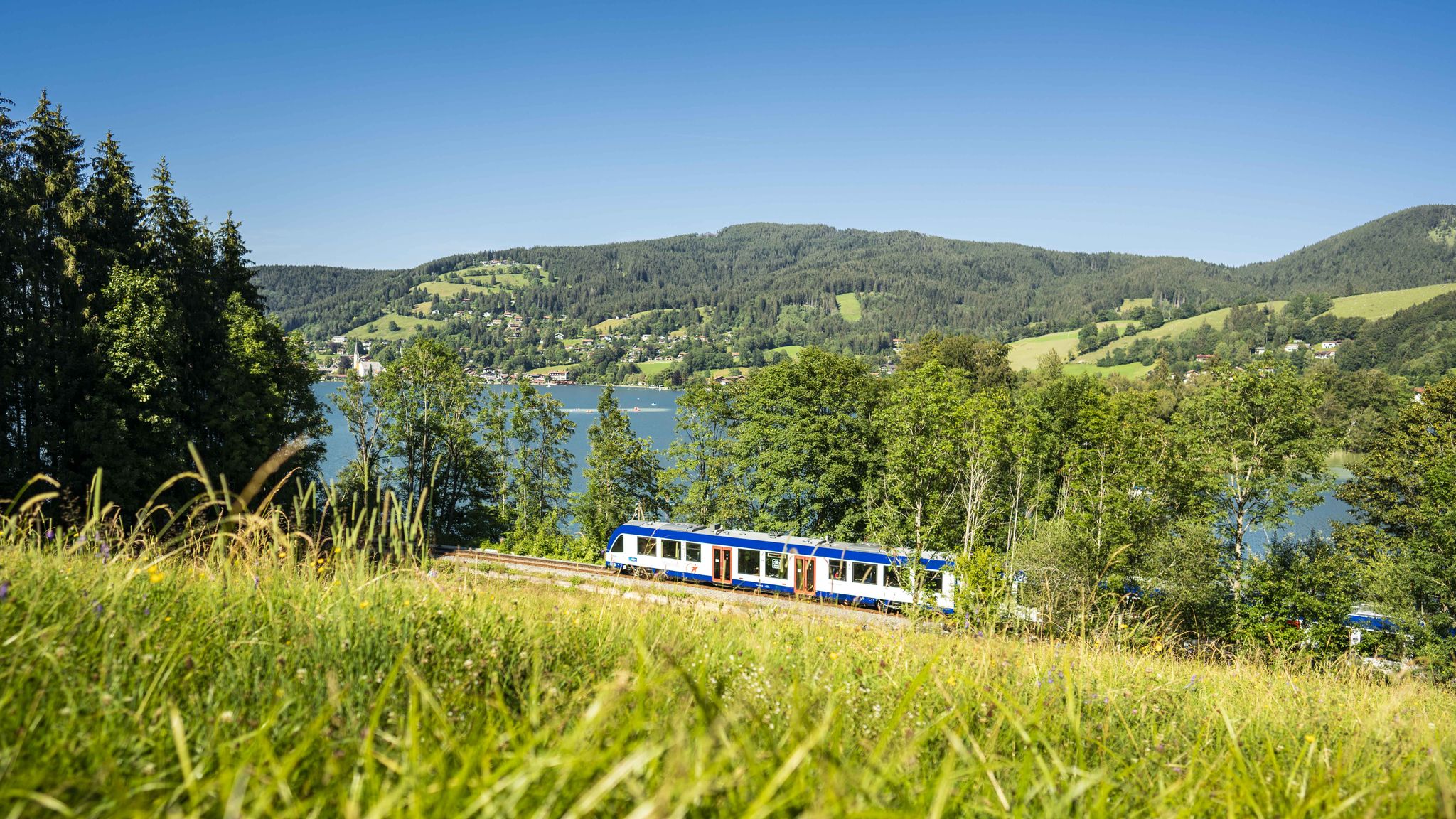
Mountain air by train – hiking in the BRB Network
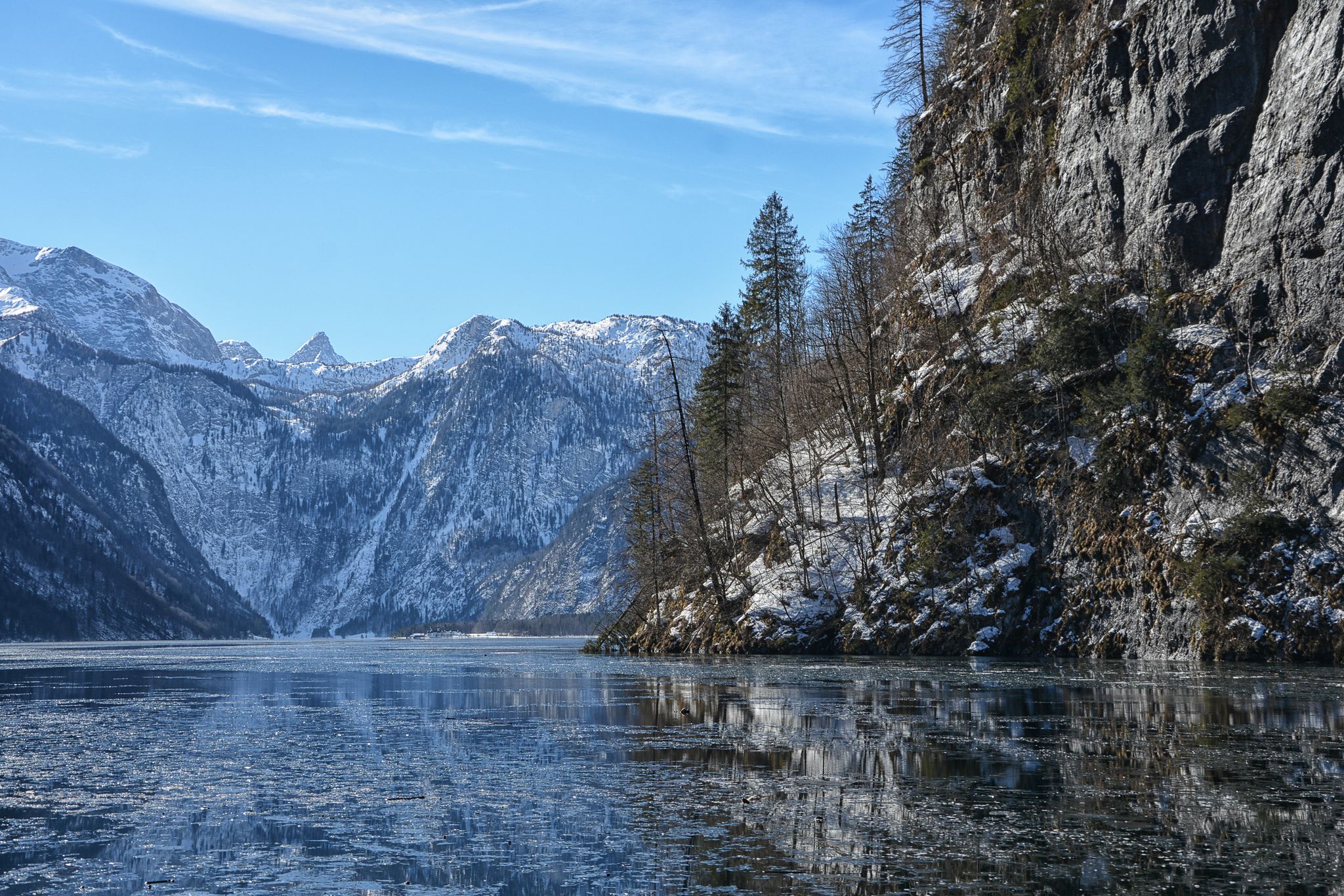
Winter in Upper Bavaria – 8 wonderful hikes
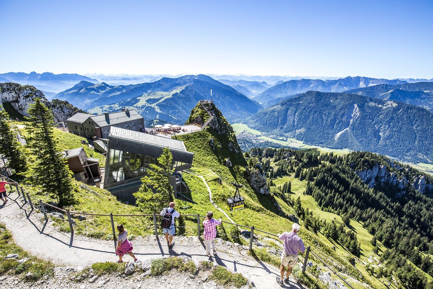
A little help to the top – mountain railways & cable cars in Chiemgau
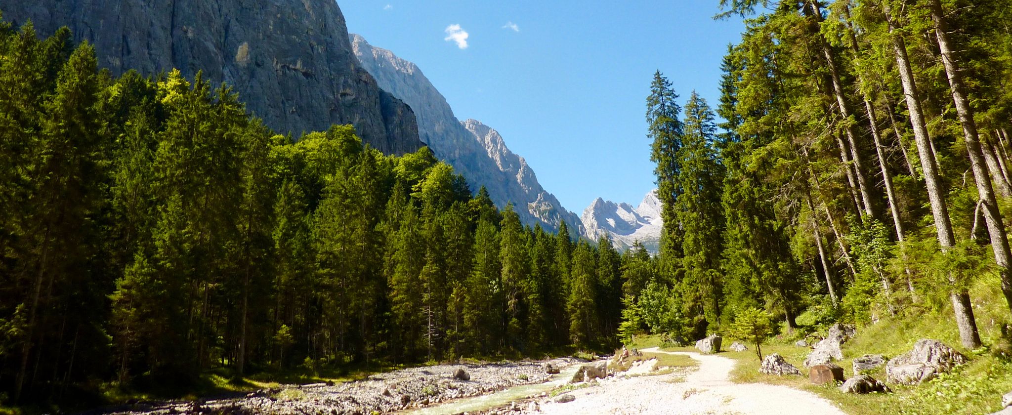
The Max Trail — across the Alps from West to East
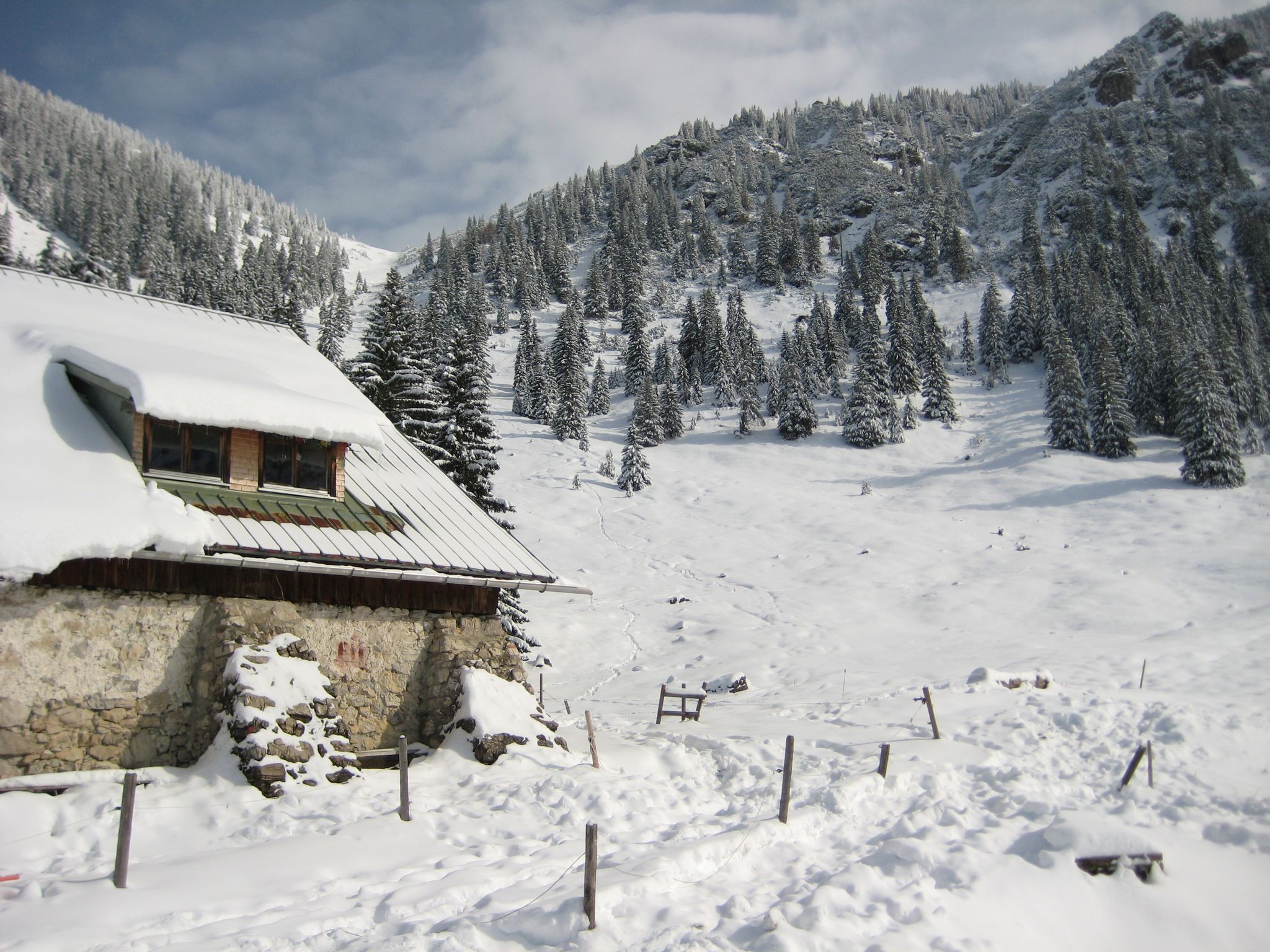
Southern Germany — mountain lodges for the cold season
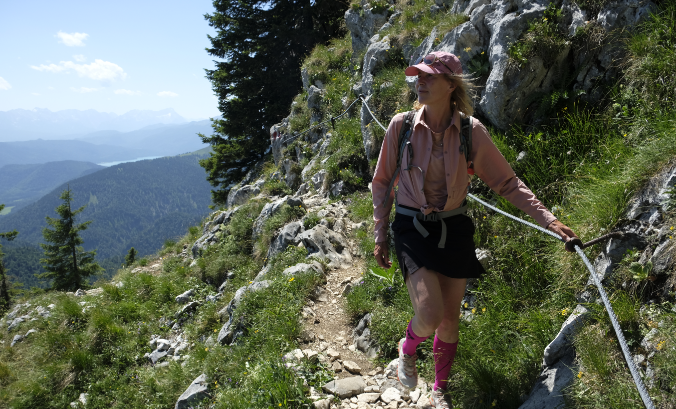
Zug um Zug: Alpentouren mit Öffis
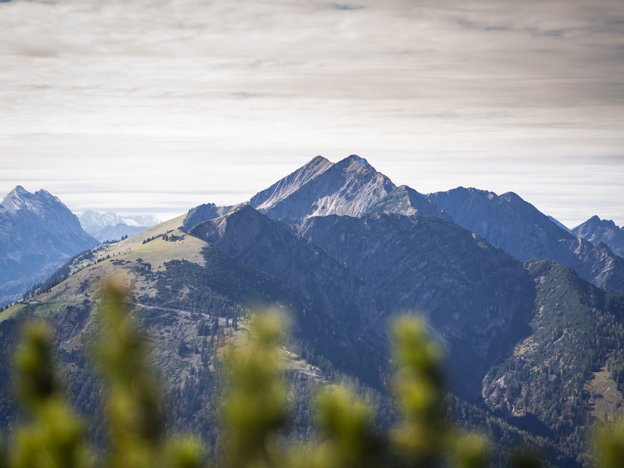
Hoch hinaus - Bergtouren in der Alpenregion Tegernsee Schliersee
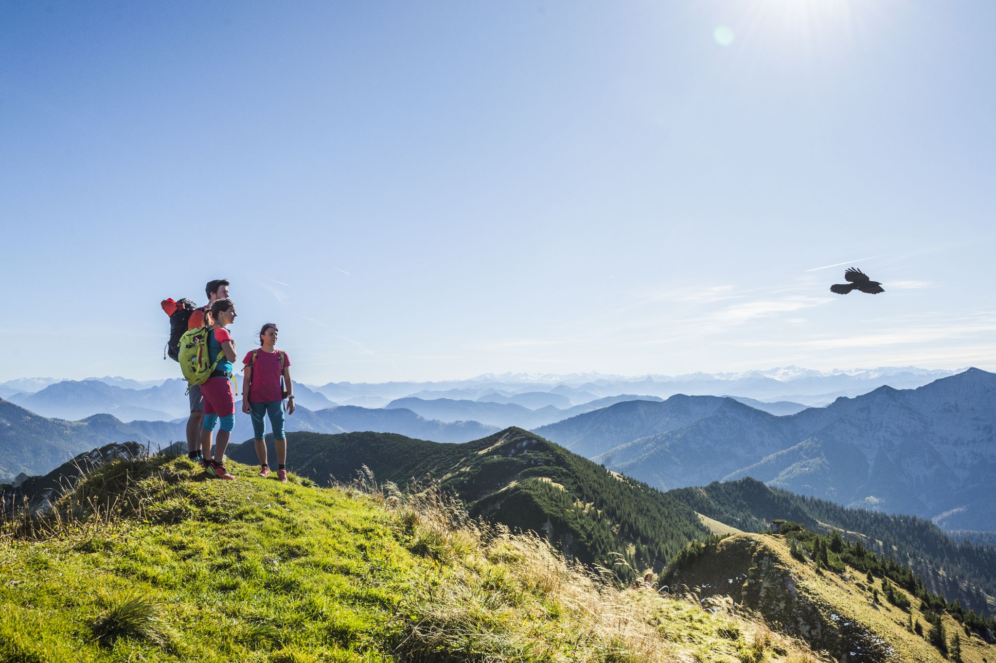
Wanderparadies Alpenregion Tegernsee Schliersee - Entdecken Sie de schönsten Touren
Hiking around Bayrischzell
Cycling around Bayrischzell
Other adventures around Bayrischzell


Tips from the Community

Nice when you get to the top
4
0
Beautiful up there and the panoramic path is mega
6
1

Beautiful is something different for the passionate mountain hiker - too much development and far too many train tourists. This means that not only the summit plateau with the viewing platform, but also the panoramic path is always very busy. The various ascents are nevertheless beautiful. But there are better summits with a view of the mountains in the Mangfall Mountains.
4
0

Beautiful all-round view from the Wallberg summit 😍 Absolutely recommended 🤗
18
0

The local mountain at Tegernsee 😁 Well attended on weekends and public holidays. In winter, Grödel is recommended for the last 100 meters in altitude.
25
1

Around the Wendelstein, many works of art can be found on the artists' trail that runs here. However, some are well hidden.
4
0

Even if overcrowded, always worth a hike 😉
4
0
Good hiking trails lead from the valley station of the mountain railway or from the Enterrottach-Valepp toll road (starting point there at the Monialm) to the summit area. Of course, there is also easy access by mountain railway, which means that the Wallberg is often well populated. Nevertheless, on the way to the summit, the wheat from the chaff separates somewhat, because some short passages below the summit plateau are not entirely without - here you have to get rid of sticks and tackle. The areas on both sides of the panorama restaurant serve as runways for paragliders, whose drivers are often watched. You can also spend the night in the Alten Wallberghaus below the summit.
8
0
Frequently Asked Questions
What are some of the most prominent natural monuments to visit around Bayrischzell?
Bayrischzell is home to several striking natural monuments. Among the most popular are the Rotwand summit, which is the highest peak in the immediate area, and the Wendelstein Summit, known for its well-developed paths and fabulous views. The Josefsthal Waterfalls also offer a beautiful natural spectacle.
Are there any family-friendly natural monuments in the Bayrischzell area?
Yes, the Josefsthal Waterfalls are considered family-friendly, offering a circular route that is enjoyable for all ages. The paths on Wendelstein Summit are also well-developed and suitable for various age groups, with a cable car providing easy access.
What kind of hiking experiences can I expect at these natural monuments?
The natural monuments around Bayrischzell offer a range of hiking experiences. You can find challenging climbs, such as those leading to the Rotwand summit or Taubenstein Peak, which may require surefootedness. There are also intermediate trails, like the circular route around the Josefsthal Waterfalls, and easier, well-developed paths on the Wendelstein Summit suitable for all age groups.
What outdoor activities, besides hiking, can I do near Bayrischzell's natural monuments?
Beyond hiking, Bayrischzell offers diverse outdoor activities. You can explore the region by cycling, gravel biking, or road cycling. For example, there are routes like the 'Tegernsee – View of Schliersee loop' for cycling, 'Spitzingsee – Lake Spitzing loop' for gravel biking, and 'View of Wendelstein – View of the Alps' for road cycling. You can find more details on these and other routes in the Cycling around Bayrischzell, Gravel biking around Bayrischzell, and Road Cycling Routes around Bayrischzell guides.
What are the best times of year to visit the natural monuments around Bayrischzell?
Bayrischzell's natural monuments are enjoyable in any season. The region is particularly popular for hiking from spring through autumn when the alpine landscapes are vibrant. Winter offers opportunities for snowshoeing or winter hiking, though conditions can vary, especially at higher elevations like the Wendelstein or Rotwand.
Are there any natural monuments that offer unique geological features or caves?
Yes, the Wendelstein Summit is notable for its geological features. At its summit, you can explore Germany's highest cave and a GEO-Park, adding an educational dimension to the natural beauty.
Where can I find impressive viewpoints among the natural monuments?
Many natural monuments in Bayrischzell offer stunning views. The Wendelstein Summit is renowned for its fabulous panoramic views on clear days. The Rotwand summit and Taubenstein Peak also provide expansive vistas. Additionally, Mount Seeberg offers magnificent views of Bayrischzell and the lower valley.
Are dogs allowed on trails around the natural monuments in Bayrischzell?
While specific regulations can vary, many trails in the region are dog-friendly. For instance, visitors have enjoyed the circular route around the Josefsthal Waterfalls with their dogs, noting it's well-signposted and enjoyable for pets.
Are there any circular hiking routes around the natural monuments?
Yes, the Josefsthal Waterfalls are accessible via a highly recommended circular route. Additionally, a popular route around the Seebergkopf offers lasting impressions of the Rotwand area, though it requires a good level of physical fitness.
What makes the Wendelstein a special natural monument?
The Wendelstein is a truly special natural monument due to its accessibility and diverse offerings. Standing at 1,838 meters, it provides fabulous views and has well-developed paths suitable for all ages. A cable car offers a convenient seven-minute ascent. At the summit, you can explore Germany's highest cave and a GEO-Park, making it both scenic and educational.
Are there any waterfalls to visit in the Bayrischzell area?
Yes, the Josefsthal Waterfalls are a notable attraction, appreciated for their natural state and accessible via a recommended circular route. The Tatzelwurm Waterfalls are also scenic and can be reached via a trail starting at Kurpark.
What is the <a href="https://www.komoot.com/highlight/122919" target="_blank" rel="noopener">Breitenstein Summit</a> known for?
The Breitenstein Summit, at 1622 meters, is known for its unusually broad summit plateau and great views in all directions, including towards the Wendelstein and the main Alpine ridge. It's a classic hiking peak with various ascent routes, offering a rewarding experience for hikers.
Most popular routes around Bayrischzell
Most popular attractions around Bayrischzell

Get inspired with the komoot mobile app


Explore more
Extend your search for the best caves by checking out these guides of the top ones around Bayrischzell:
