Top 20 Natural Monuments around Landkreis Ravensburg
Best natural monuments around Landkreis Ravensburg are found in Upper Swabia, a region characterized by its diverse natural landscape shaped by post-ice age glacial activity. The area features geological formations, woodlands, and river valleys, offering opportunities for outdoor recreation. Landkreis Ravensburg is home to 145 natural monuments, including waterfalls, lakes, and viewpoints. These protected areas often safeguard specific ecosystems and contribute to the region's natural beauty.
Best natural monuments around Landkreis Ravensburg
- The most popular natural monuments is Schmalegger Tobel…
Last updated: October 10, 2026
Schwarzer Grat Observation Tower
Highlight • Viewpoint
Translated by Google •
Tip by

Fountain at Zeil Castle
Highlight • Monument
Translated by Google •
Tip by

Sign up now to discover places like this
Get recommendations on the best single tracks, peaks, & plenty of other exciting outdoor places.
Schmalegger Tobel Waterfall
Highlight • Waterfall
Translated by Google •
Tip by

Häckler Pond
Highlight • Lake
Translated by Google •
Tip by

Confluence of the Upper and Lower Argen with Picnic Area
Highlight • River
Translated by Google •
Tip by

Riedsee in the Wurzacher Ried
Highlight • Lake
Translated by Google •
Tip by

Raggenhorn Summit Cross
Highlight • Summit
Showing Translation
Tip by

Rösslerweiher
Highlight • Lake
Translated by Google •
Tip by

Tafel Pond
Highlight • Lake
Translated by Google •
Tip by

Riedsee in the Wurzacher Ried
Highlight • Lake
Showing Translation
Tip by

Sign up for free to discover even more natural monuments around Landkreis Ravensburg.
Already have an account?
Start today with a free account
Your next adventure awaits.
Popular around Landkreis Ravensburg

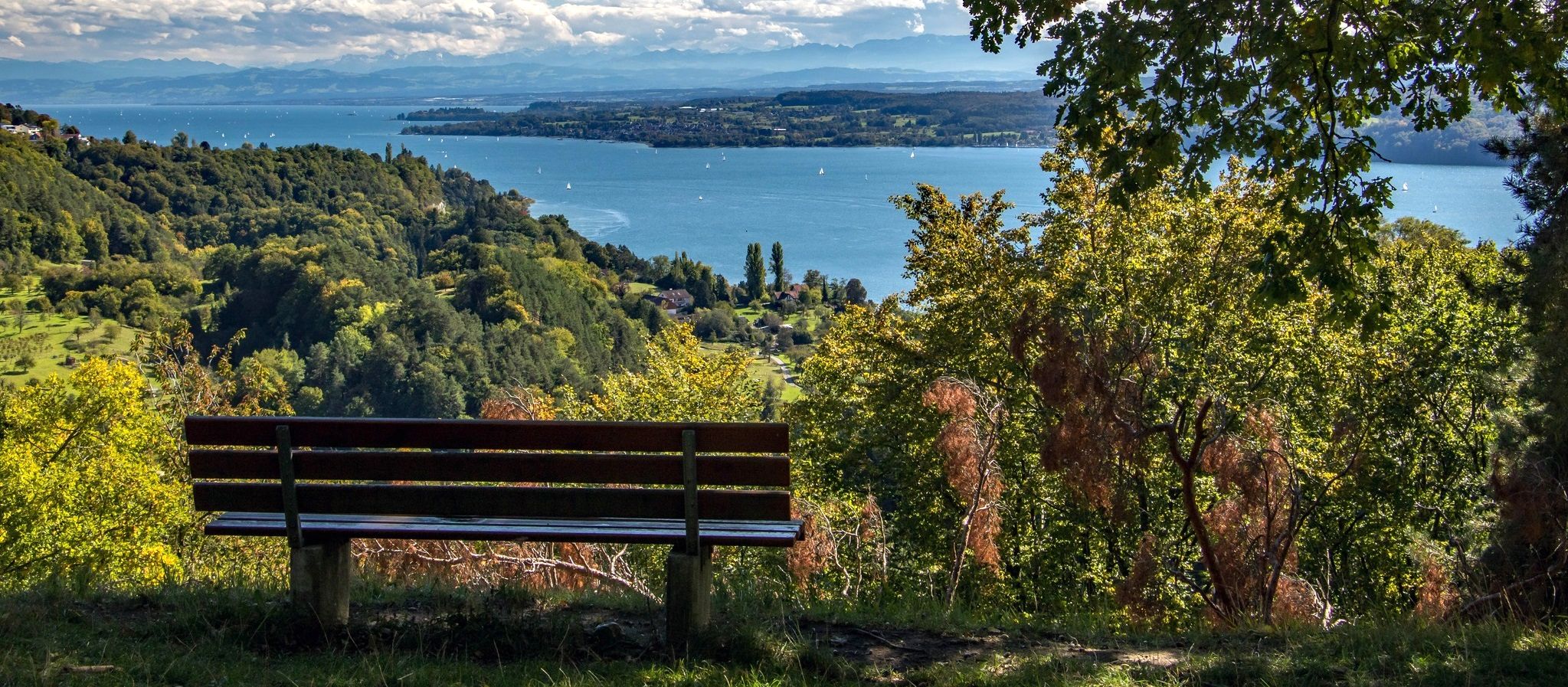
Main-Danube-Lake Constance Trail – Along iconic waters
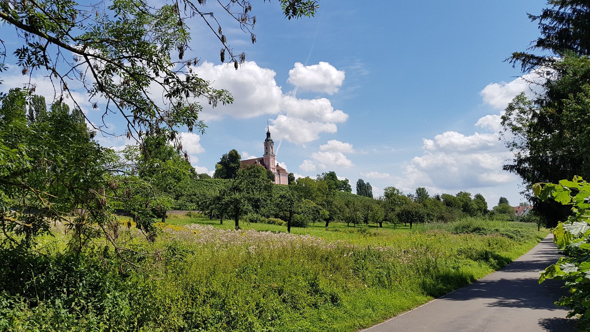
Heuberg-Allgäu Trail – From the Swabian Alb to Alpine foothills
The Bäderradweg — 5 stages of wellness from Lake Constance to Allgäu
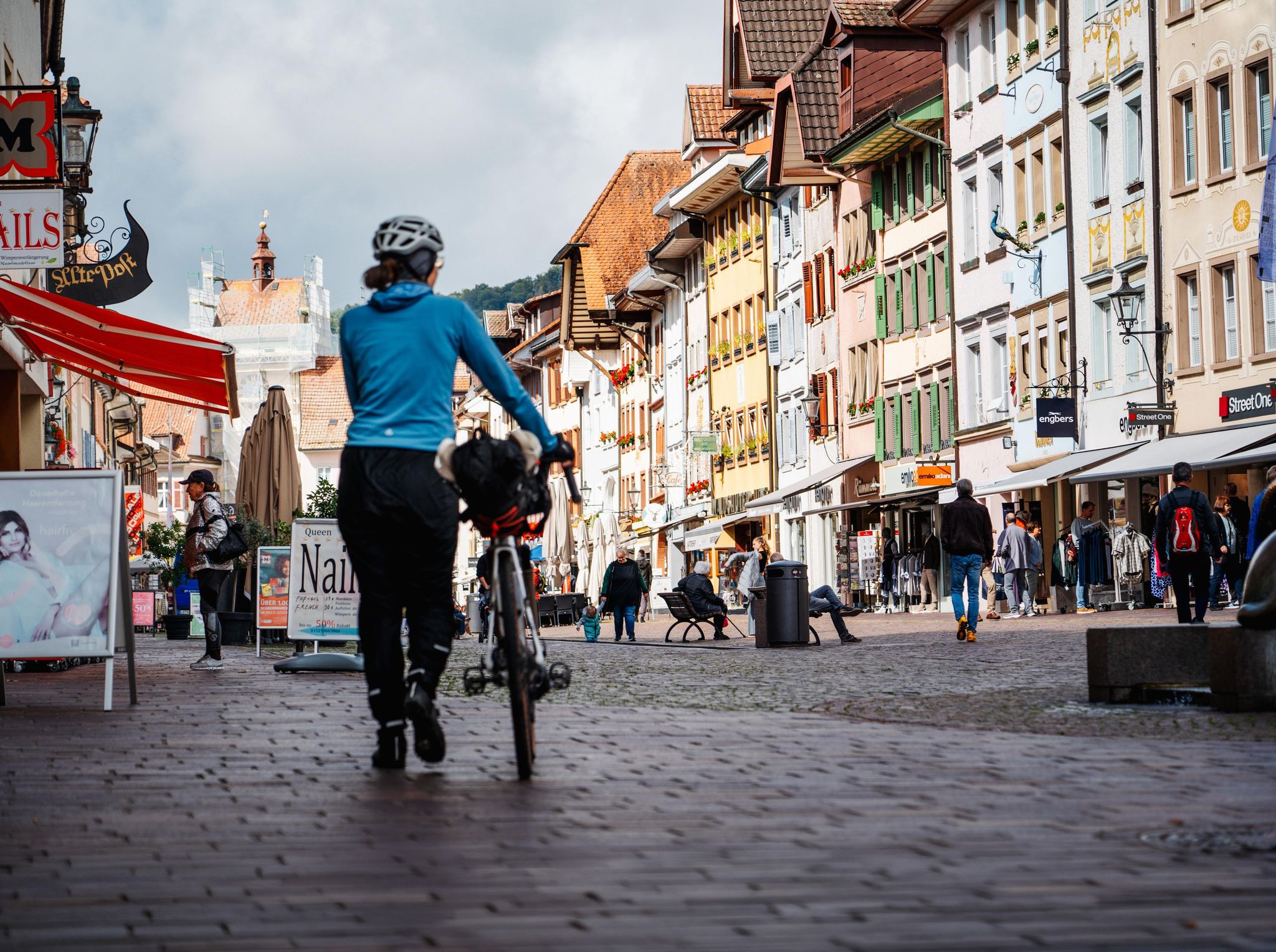
Adventure on two wheels – overnight cycling trips in Baden-Württemberg
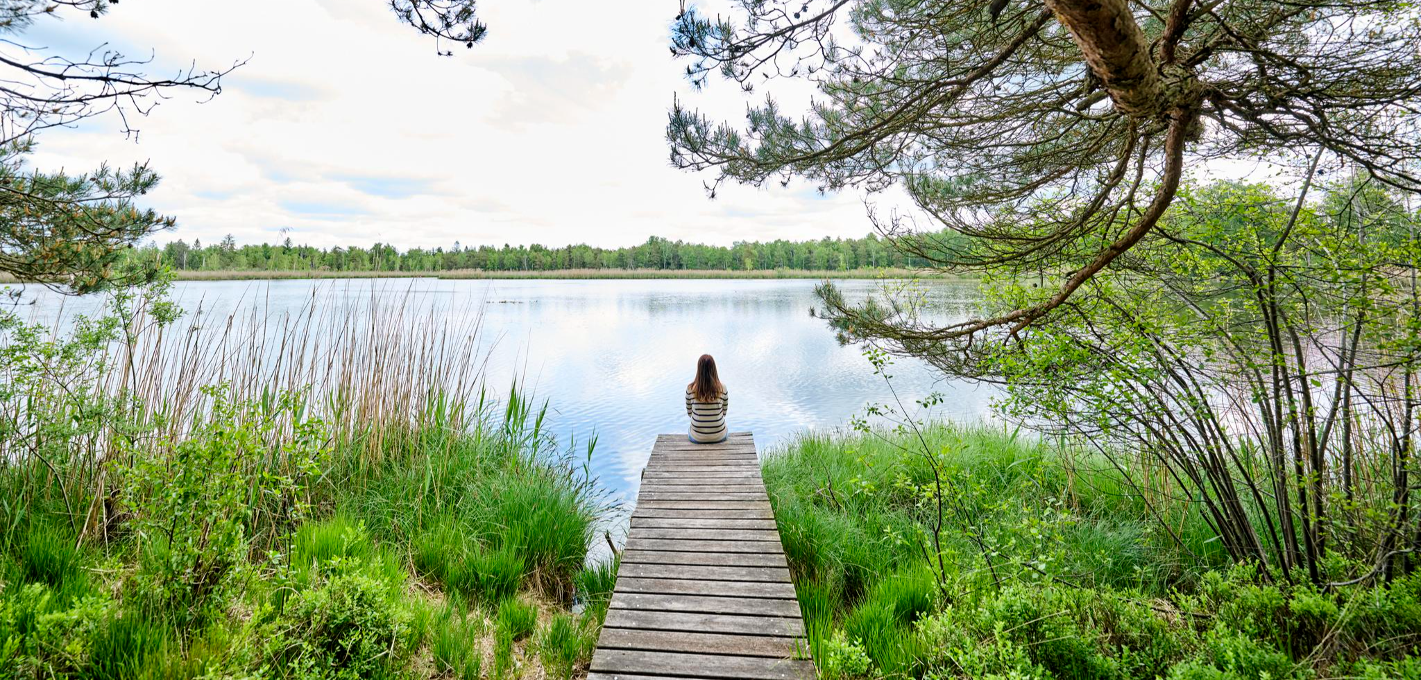
Nature, city, Baroque – short breaks in Upper Swabia-Allgäu
The state from above: 7 Summits of Baden-Württemberg
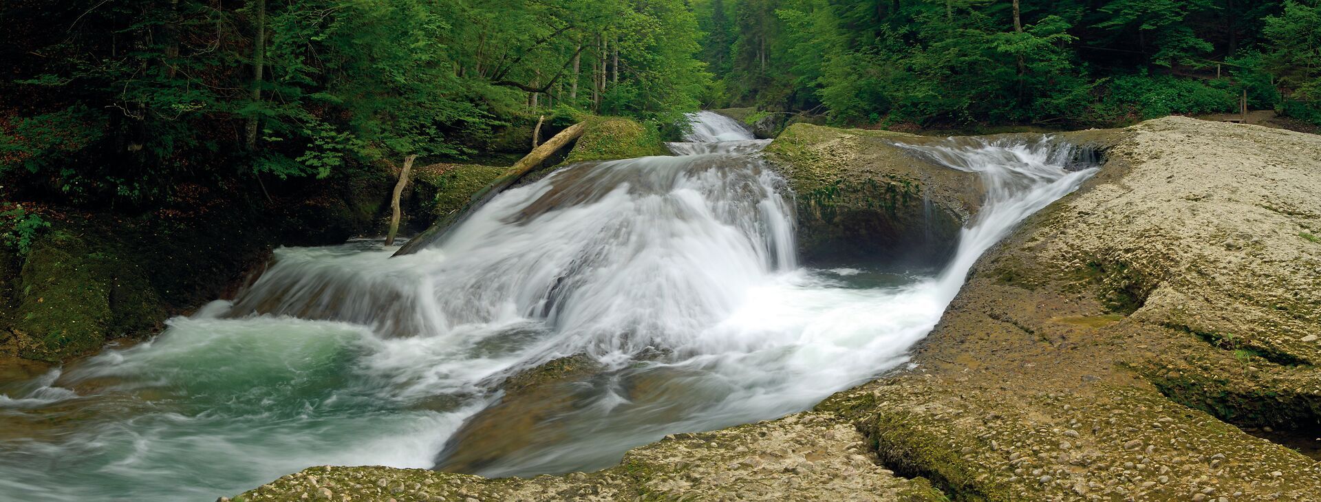
Wandertrilogie Allgäu: Wasserläufer-Route in the Westallgäu
Listen and discover – audio tours to Allgäu's cultural treasures
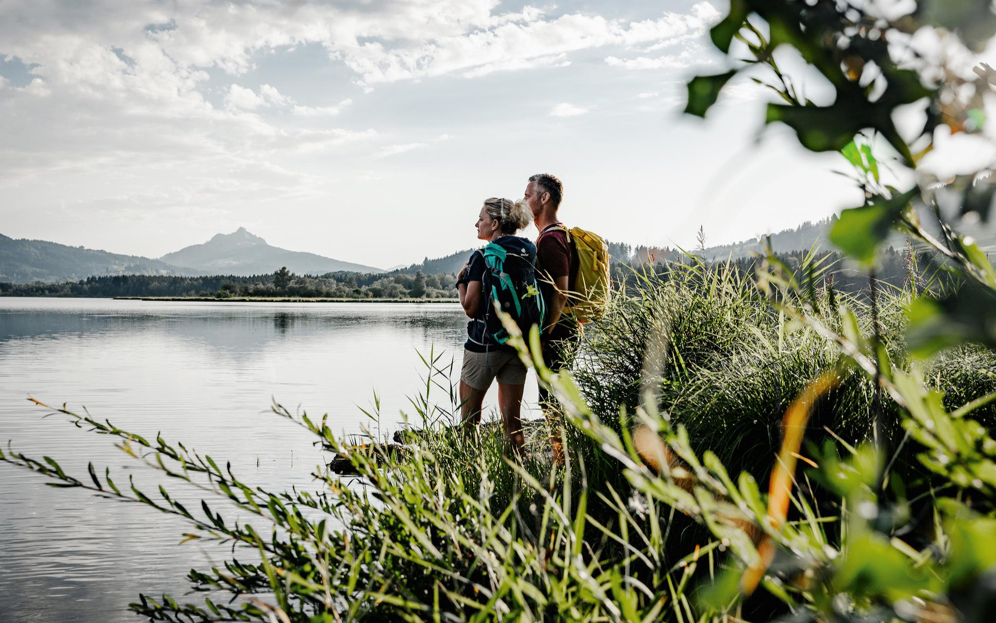
Fresh summer fun – half and full day hikes in Allgäu
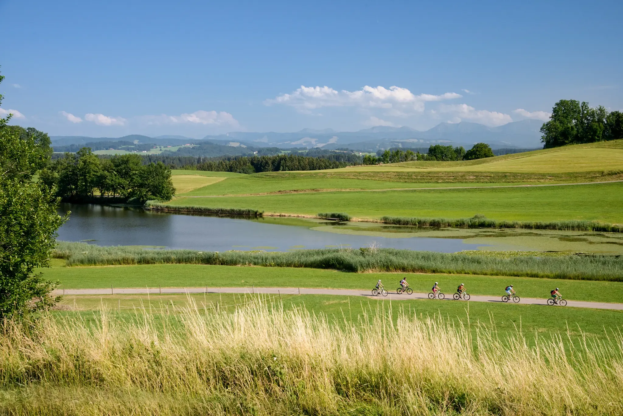
Water as a constant companion: the DONAU-BODENSEE cycle path
Other adventures around Landkreis Ravensburg


Tips from the Community

Wonderful to observe how the currents unite here. There is also a great shelter with a fireplace.
1
0

Wonderful photo opportunities at every corner ... the landscape here is beautiful
1
0

The confluence of the Argen is located about 1 km from Blumegg near Neukirch. The Upper Argen rises near Oberstaufen and flows through Wangen after the wild Eistobel. The Lower Argen rises east of Missen and flows via Isny and Waltenweiler to the confluence of the Upper and Lower Argen.
1
0

The Wurzacher Ried is one of the largest nature reserves and one of the most important moorland areas in southern Germany. The EU has awarded it a premium as a European bird sanctuary and FFH area ("Natura 2000"). The moorland is located north of the municipality of Bad Wurzach in Baden-Württemberg. The retreat of the glaciers of the "Riß" period and the following "Würm" period left behind a large lake basin, which gradually became a moorland landscape from around 10,000 BC. In the last 300 years or so, the moorland has been endangered by drainage and peat cutting. For some time now, renaturation and rewetting measures have been carried out to protect this ecological gem. The Wurzacher Ried is, however, predominantly a raised bog that continues to grow and is only wetted by rain. A fen thrives along the rivers and groundwater present in all peripheral areas. The largely untouched core area, which covers about a third of the moorland area, is the largest contiguous and still intact raised bog in Central Europe. Source: Wikipedia
5
1

The Wurzacher Ried is a unique, primeval landscape with a special magic. The enormous power of the Rhine glacier constantly formed the hill ranges of the Allgäu during the last three ice ages and carved out a deep tongue basin. Today, the Wurzacher Ried is the largest contiguous and still intact raised bog in Central Europe and one of the largest nature reserves in Baden-Württemberg. Why raised bog? The raised bog does not get its name because it is on a hill or in the mountains. The name refers to the formation of the bog: In the first step, a lowland bog forms in a depression, into which groundwater also flows. Dead plant parts gradually become an increasingly thick layer of peat and gradually the bog grows above the groundwater level - a raised bog is created. Source: https://www.bad-wurzach.de/tourismus/de/moor/naturschutzgebiet-wurzacher-ried
4
1

The Riedsee near Bad Wurzach has the largest body of water in the Wurzacher Ried at around 10 hectares. Visitors can take long walks along the boardwalks and root paths. Unfortunately, it is not possible to walk all the way around. However, there are numerous benches and viewing platforms that invite you to spend relaxing hours in perfect nature. Numerous animals and plants can be observed here, such as the rare grass snake, occasionally swimming or sunbathing. Source: https://www.oberschwaben-tourismus.de/attraktionen/riedsee-im-wurzacher-ried-30636712a3
5
1

Very nice place for a break. Small gravel bench where you can rest and enjoy your snack. Of course, there's nothing wrong with cooling off in the water.
1
0

Very good air but looking for a lot of quirks, absolutely protect
3
1
Frequently Asked Questions
What types of natural monuments can I explore in Landkreis Ravensburg?
Landkreis Ravensburg offers a diverse range of natural monuments, including captivating waterfalls like the Schmalegger Tobel Waterfall, serene lakes such as Rösslerweiher and Tafel Pond, and impressive viewpoints like the Schwarzer Grat Observation Tower. You'll also find unique geological formations, river confluences, and protected forest areas.
Are there family-friendly natural monuments in Landkreis Ravensburg?
Yes, many natural monuments in Landkreis Ravensburg are suitable for families. The Schwarzer Grat Observation Tower features a playground and offers panoramic views. The Confluence of the Upper and Lower Argen with Picnic Area is perfect for a family outing with opportunities for picnicking and swimming. Additionally, the Rösslerweiher and Tafel Pond are great for leisurely strolls with children.
What is the best time of year to visit the natural monuments?
The natural monuments in Landkreis Ravensburg offer different charms throughout the year. Spring brings lush greenery, while summer is ideal for swimming at spots like the Confluence of the Upper and Lower Argen. Autumn showcases vibrant foliage, and winter transforms areas like the Schmalegger Tobel Waterfall into a stunning frozen spectacle. Many trails are accessible year-round, but sturdy footwear is recommended, especially in colder months.
What kind of hiking opportunities are available near the natural monuments?
Landkreis Ravensburg provides numerous hiking opportunities. You can find easy hikes like the 'Hike in the Kißlegg lake district' or the 'Leutkirch Trilogy tour'. For more moderate challenges, consider the 'Moor-Weg – experience pure moorland' or the 'Bad Wurzach hiking trail no. 2 - Ried-Runde'. Many natural monuments, such as the Schmalegger Tobel Waterfall, are integrated into scenic trails. For more detailed routes, explore the Hiking around Landkreis Ravensburg guide.
Are there cycling routes that pass by natural monuments?
Yes, the region offers several cycling routes that allow you to experience its natural beauty. Popular options include 'Argenwege', 'Towers and Ravines', and 'Heavenly Meadows'. These routes often traverse diverse landscapes, including woodlands and river valleys, providing a great way to see the natural monuments. You can find more information in the Cycling around Landkreis Ravensburg guide.
What should I wear when visiting the natural monuments?
Given the varied terrain, sturdy footwear is highly recommended for exploring the natural monuments, especially on uneven forest paths and near waterfalls like the Schmalegger Tobel Waterfall. Layered clothing is also advisable to adapt to changing weather conditions, particularly when hiking to viewpoints or summits.
Are there any natural monuments with panoramic views?
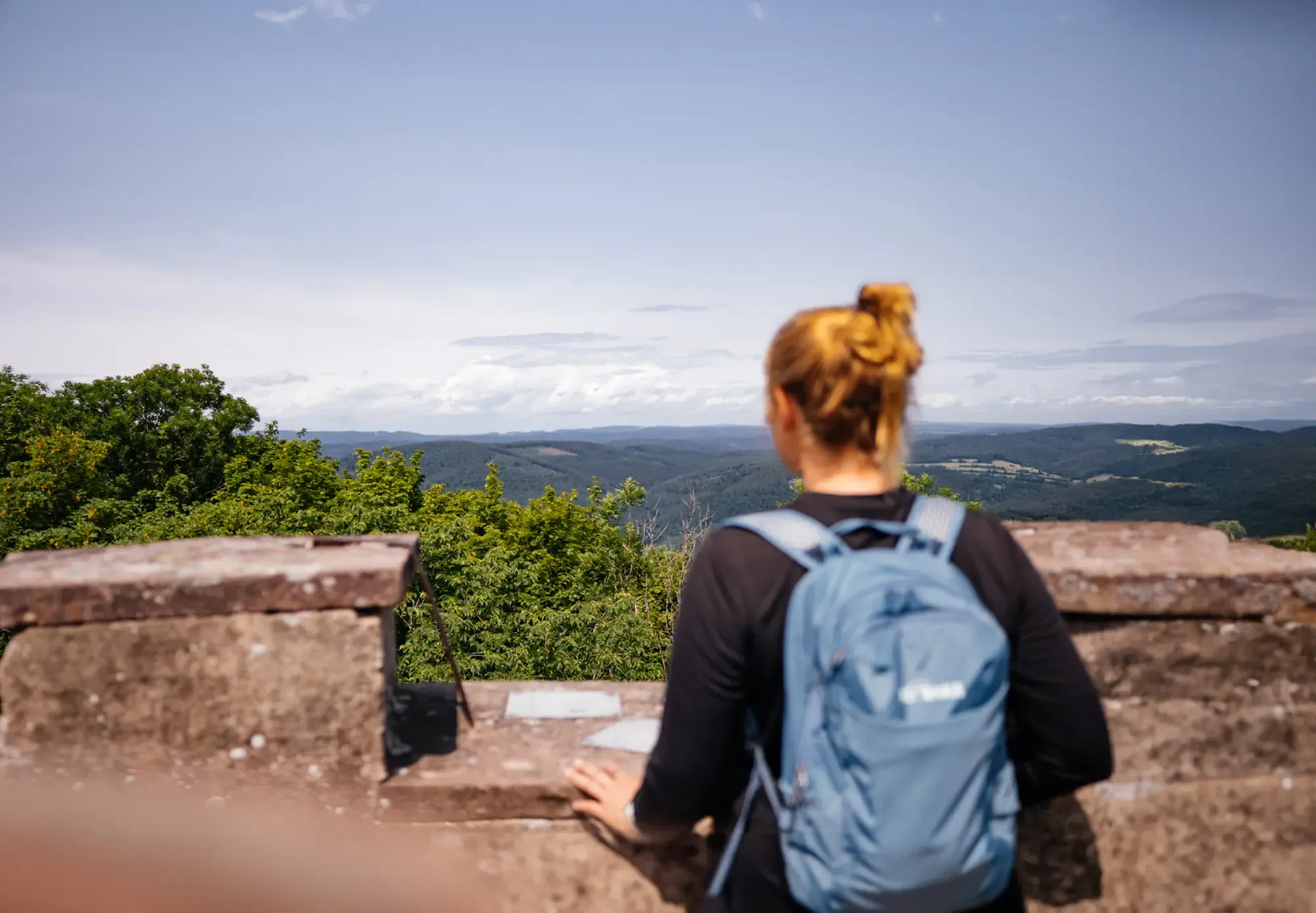
Absolutely. The Schwarzer Grat Observation Tower, located on the highest elevation of Württemberg, offers an exceptional Alpine panorama stretching from the Zugspitze to Säntis. Similarly, the Raggenhorn Summit Cross provides a wonderful view to the south and the Nagelfluhkette. Even Fountain at Zeil Castle offers a beautiful Alpine panorama on clear days.
Can I bring my dog to the natural monuments?
Many natural areas and trails in Landkreis Ravensburg are dog-friendly, but it's always best to keep dogs on a leash, especially in protected areas or near wildlife. Specific rules may vary by location, so check local signage. Generally, trails around lakes like Rösslerweiher and forest paths are suitable for walks with dogs.
What geological features are prominent in the natural monuments of Landkreis Ravensburg?
The landscape of Landkreis Ravensburg was significantly shaped by post-ice age glacial activity. This has resulted in diverse geological formations, including the system of gorges and ravines at Schmalegger Tobel, and various geotope sites documented in the Geotope-Kataster Baden-Württemberg. These include rock outcrops, unique soils, and distinctive landscape elements that tell the story of the region's glacial past.
Are there any hidden natural gems or less-known spots worth visiting?
While the Schmalegger Tobel Waterfall is popular, the entire Tobel system with its wild forests and streams offers many secluded spots. The region's 145 natural monuments include many smaller, lesser-known sites beyond the main highlights, often protecting specific ecosystems. Exploring the trails 'Along the Wurzacher Ried' can also lead to tranquil discoveries within the moorland landscape.
What facilities are available at the natural monuments?
Facilities vary by location. The Schwarzer Grat Observation Tower has a kiosk open on weekends/holidays and tables/benches inside. The Confluence of the Upper and Lower Argen offers a picnic area, barbecue facilities, and a hut. For other sites, it's advisable to bring your own provisions, as many natural monuments are undeveloped to preserve their natural state.
How long does it typically take to visit a natural monument?
The duration of a visit depends on the specific monument and your activity. A quick stop at a viewpoint like the Schwarzer Grat Observation Tower might take 30-60 minutes. Exploring a waterfall like Schmalegger Tobel or walking around a lake such as Rösslerweiher could take 1-2 hours. Longer hikes or cycling tours incorporating multiple monuments can easily fill half a day or more.
Most popular routes around Landkreis Ravensburg
Most popular attractions around Landkreis Ravensburg

Get inspired with the komoot mobile app


Didn’t find what you were looking for?
Find even more amazing natural monuments around Landkreis Ravensburg by checking out the top Highlights region by region:
Explore more
Extend your search for the best caves by checking out these guides of the top ones around Landkreis Ravensburg:
