The best waterfall hikes and walks in Trollheimen Landskapsvernområde
4.6
(548)
3,022
hikers
5
hikes
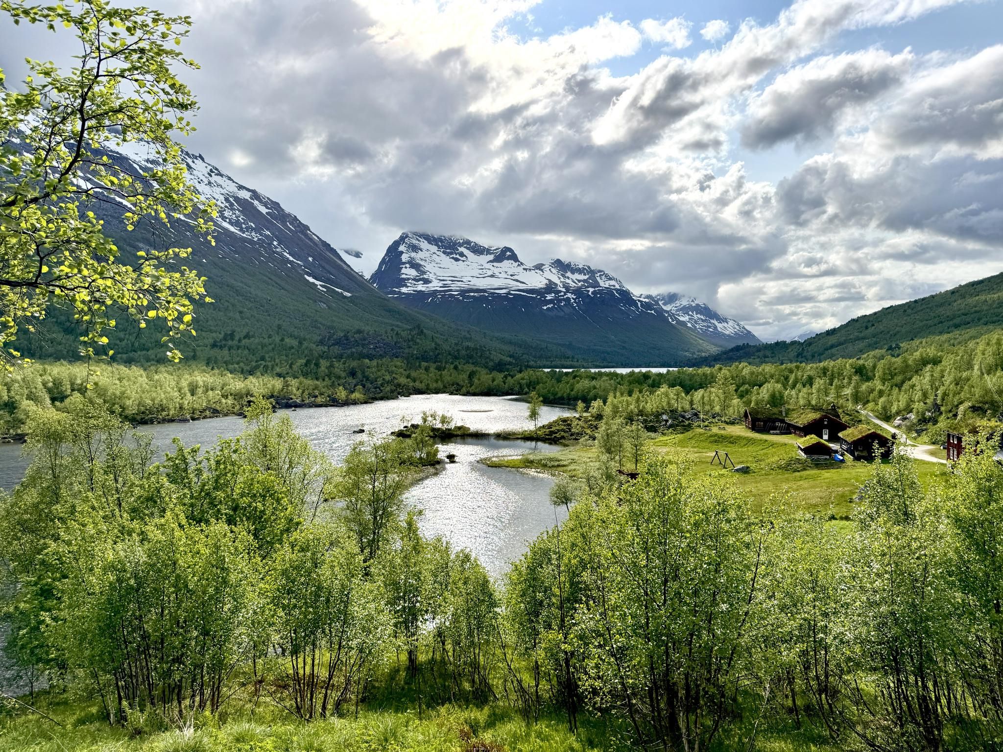
Waterfall hiking trails in Trollheimen Landskapsvernområde traverse a diverse landscape shaped by a climatic divide, featuring V-shaped valleys, sharp peaks, and rounded hills. The region is renowned for its dramatic alpine valleys, such as Innerdalen, which often include impressive waterfalls. Hikers can explore a network of trails that lead through lush cultural landscapes, past summer farms, and alongside mountain lakes. This varied terrain provides a rich environment for discovering numerous cascades and streams.
Best waterfall hiking trails in Trollheimen Landskapsvernområde
…Last updated: October 17, 2026
4.5
(46)
338
hikers
Easy hike. Great for any fitness level. Easily-accessible paths. Suitable for all skill levels.
4.9
(7)
20
hikers
17.2km
05:35
740m
740m
Hard hike. Very good fitness required. Easily-accessible paths. Suitable for all skill levels.

4.8
(6)
13
hikers
19.0km
05:18
360m
360m
Hard hike. Very good fitness required. Easily-accessible paths. Suitable for all skill levels.
9
hikers
Easy hike. Great for any fitness level. Easily-accessible paths. Suitable for all skill levels.
5.0
(3)
11
hikers
9.08km
02:34
200m
200m
Moderate hike. Good fitness required. Mostly accessible paths. Sure-footedness required.
Our route recommendations are based on thousands of hikes, rides, and runs completed by other people on komoot.
Start today with a free account
Your next adventure awaits.
Popular around Trollheimen Landskapsvernområde
Other adventures in Trollheimen Landskapsvernområde


Tips from the Community

A beautiful walk to the waterfall. You can easily park your car or camper. From there, you can start a lovely walk along the waterfall, though there are a lot of stairs. But it's worth it.
0
0

Lots of stairs, very nice view when you walk up the stairs along one of the largest waterfalls
0
0

You might even run into the friendly 83-year-old (as of June 25) who has been using the steps every day since construction began. He gives you a warm, easygoing smile while you're still catching your breath. 🥵
0
0

The wind wasn't too weak so that the mosquitoes didn't come, but it was just right to enjoy the sun in your t-shirt 🌞
0
0
Frequently Asked Questions
How many waterfall hiking trails are available in Trollheimen Landskapsvernområde?
There are several dedicated waterfall hiking trails in Trollheimen Landskapsvernområde, offering a range of experiences from easy strolls to more challenging mountain expeditions. In total, you'll find 5 routes specifically highlighted for their waterfall features.
Are there any easy waterfall hikes suitable for families?
Yes, for an accessible and family-friendly option, consider the Vinnufossen – Vinnufossen Waterfall loop from Sunndal. This easy 2.3 km route takes about 56 minutes to complete and offers direct views of the impressive Vinnufossen waterfall, one of the tallest in the world.
What is the best time of year to see the waterfalls at their fullest flow?
The waterfalls in Trollheimen Landskapsvernområde are typically at their most impressive during late spring and early summer (May to July). This is when the snowmelt from the surrounding mountains feeds the rivers and cascades, resulting in powerful and spectacular flows. Autumn can also offer beautiful views with vibrant foliage, though water levels might be lower.
Are there any challenging waterfall hikes for experienced trekkers?
Absolutely. For a more strenuous adventure, the View of Lontjønna – Høa Summit loop from Storligrenda is a difficult 17.2 km trail that provides expansive mountain views and traverses varied terrain, including sections with significant elevation gain. Another challenging option is the Plasslia – Lontjønnhalsen loop from Storligrenda, a 19.5 km route through diverse mountain landscapes.
What kind of terrain can I expect on waterfall trails in Trollheimen Landskapsvernområde?
The terrain around waterfalls in Trollheimen is incredibly varied. You can expect paths through lush, unspoiled woodlands, along deep V-shaped valleys, and sometimes across more open, rugged mountain landscapes. Some routes, like those leading to Vinnufossen, might involve relatively flat forest paths, while others, such as the loops from Storligrenda, will include significant elevation changes and more exposed mountain trails.
Can I combine a waterfall hike with other natural attractions?
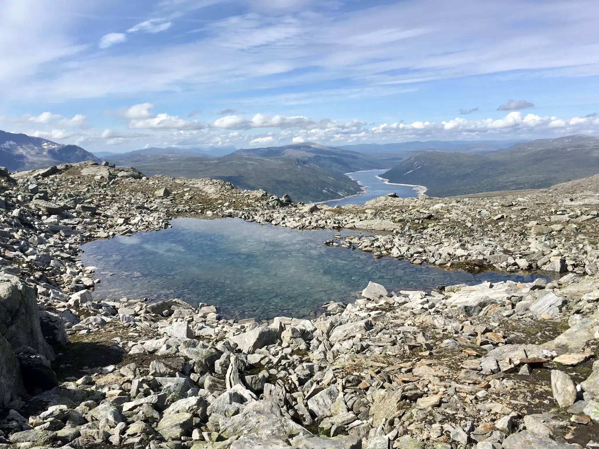
Many waterfall hikes offer opportunities to experience other natural wonders. The region is rich in diverse landscapes, from high alpine areas to lush valleys. You might encounter stunning viewpoints like Mellomfjellet Plateau or even spot wildlife such as reindeer. The trails often lead through areas with impressive peaks like Snota Summit, offering panoramic views.
Are there any circular waterfall routes available?
Yes, several routes are designed as loops, allowing you to start and end at the same point. The Vinnufossen – Vinnufossen Waterfall loop from Sunndal is a great example of an easy circular route. For more challenging options, both the View of Lontjønna – Høa Summit loop and the Plasslia – Lontjønnhalsen loop from Storligrenda are circular and offer extensive mountain scenery.
What do other hikers say about the waterfall trails in Trollheimen Landskapsvernområde?
The komoot community highly rates the hiking experiences in Trollheimen Landskapsvernområde, with an average score of 4.6 stars from over 400 reviews. Hikers often praise the dramatic alpine valleys, the well-maintained network of trails, and the stunning natural beauty, especially the impressive waterfalls and diverse landscapes.
Are dogs allowed on waterfall hiking trails in Trollheimen Landskapsvernområde?
Generally, dogs are welcome on hiking trails in Trollheimen Landskapsvernområde, but it is crucial to keep them on a leash, especially during the grazing season (typically June to September) to protect livestock and wildlife. Always check local regulations for specific trails, as some protected areas might have stricter rules.
Are there any moderate waterfall hikes?
Yes, for a moderately challenging experience, consider the Tjortbekklia – Plassfallet loop from Storligrenda. This 9.1 km route takes approximately 2 hours and 34 minutes, offering a balanced hike through varied landscapes that may include waterfall views without the extreme difficulty of the longer summit trails.
Is wild swimming or wading near waterfalls permitted?
While the sight of waterfalls can be inviting, wild swimming or wading directly in the plunge pools or fast-flowing rivers near waterfalls can be extremely dangerous due to strong currents, slippery rocks, and cold water temperatures. It is generally not recommended. Always prioritize safety and observe any local signage regarding water activities.
Where can I find parking for waterfall hikes?
Parking availability varies by trailhead. For routes like the Vinnufossen loop, you'll typically find designated parking areas near the starting point in Sunndal. For trails originating from Storligrenda, there are often parking facilities available. It's always advisable to check the specific route details on komoot for precise parking information before your trip.
Most popular routes in Trollheimen Landskapsvernområde
Most popular attractions in Trollheimen Landskapsvernområde

Get inspired with the komoot mobile app


Explore more
Browse the best Hikes in other regions.
