Top 16 Natural Monuments around Gobion Fawr
Best natural monuments around Gobion Fawr are situated within a landscape shaped by millions of years of geological history and glacial activity. This area, part of the Bannau Brycheiniog (Brecon Beacons) National Park and Fforest Fawr UNESCO Global Geopark, features diverse geological formations. It offers a range of natural features, from prominent peaks to unique limestone terrain and ancient woodlands. The region provides insight into Earth's history, showcasing evidence of ancient climate change and glacial sculpting.
Best natural monuments around…
Last updated: July 1, 2026
Blorenge summit
Highlight • Natural Monument
Tip by

Skirrid Fawr summit
Highlight • Climb
Tip by

Sign up now to discover places like this
Get recommendations on the best single tracks, peaks, & plenty of other exciting outdoor places.
Sign up for free
Sugar Loaf Summit
Highlight • Summit
Tip by

Keeper's Pond (Pen-Ffordd-Goch Pond)
Highlight • Natural Monument
Tip by
Sugarloaf Summit on the Cambrian Way
Highlight (Segment) • Trail
Tip by
Sign up for free to discover even more natural monuments around Gobion Fawr.
Sign up for free
Already have an account?
Start today with a free account
Your next adventure awaits.
Login or Signup
Popular around Gobion Fawr
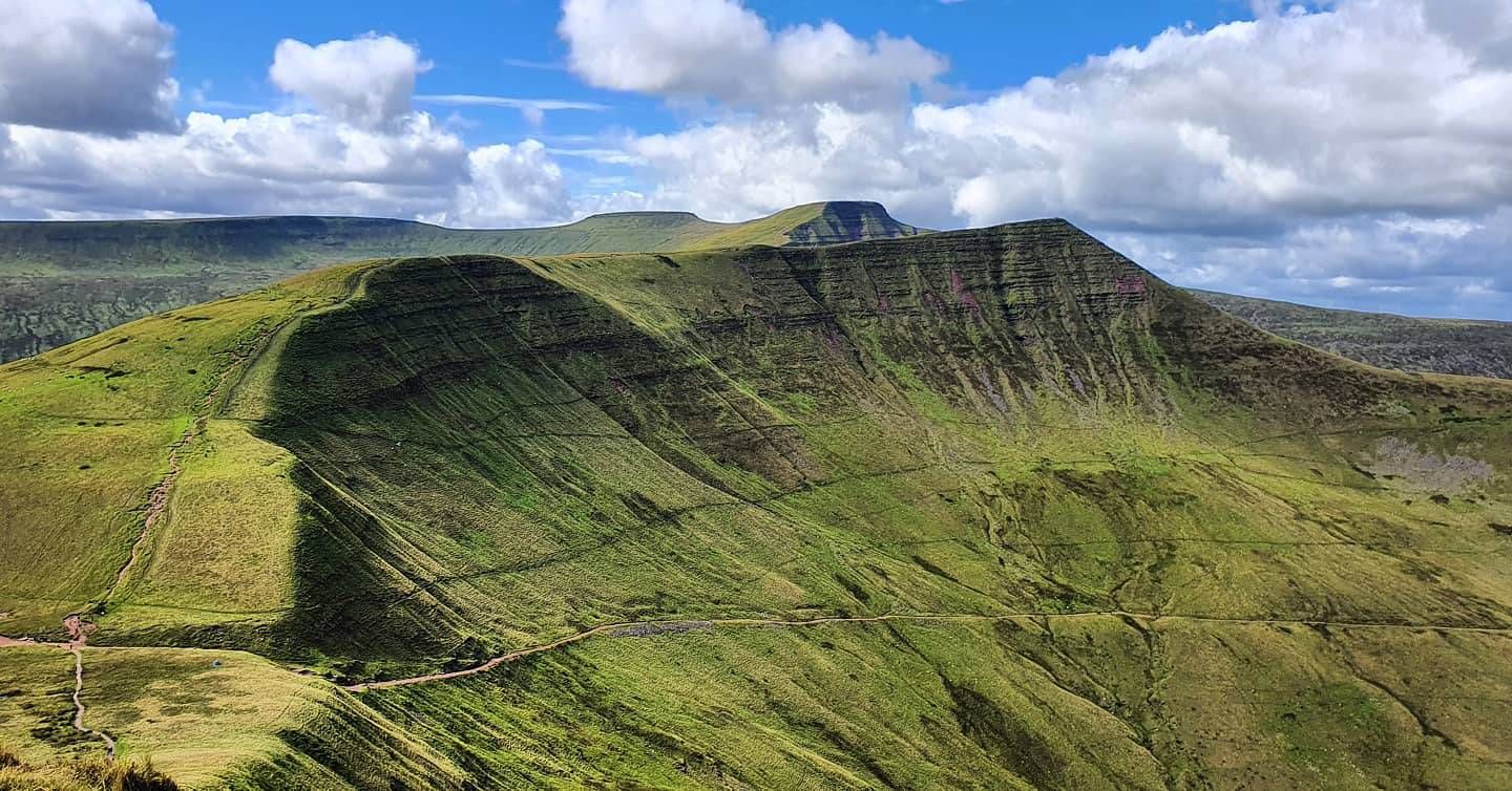
Beacons Way — Hike the high, emerald spine of South Wales

Walk Britain – 90 car-free adventures in England, Wales and Scotland
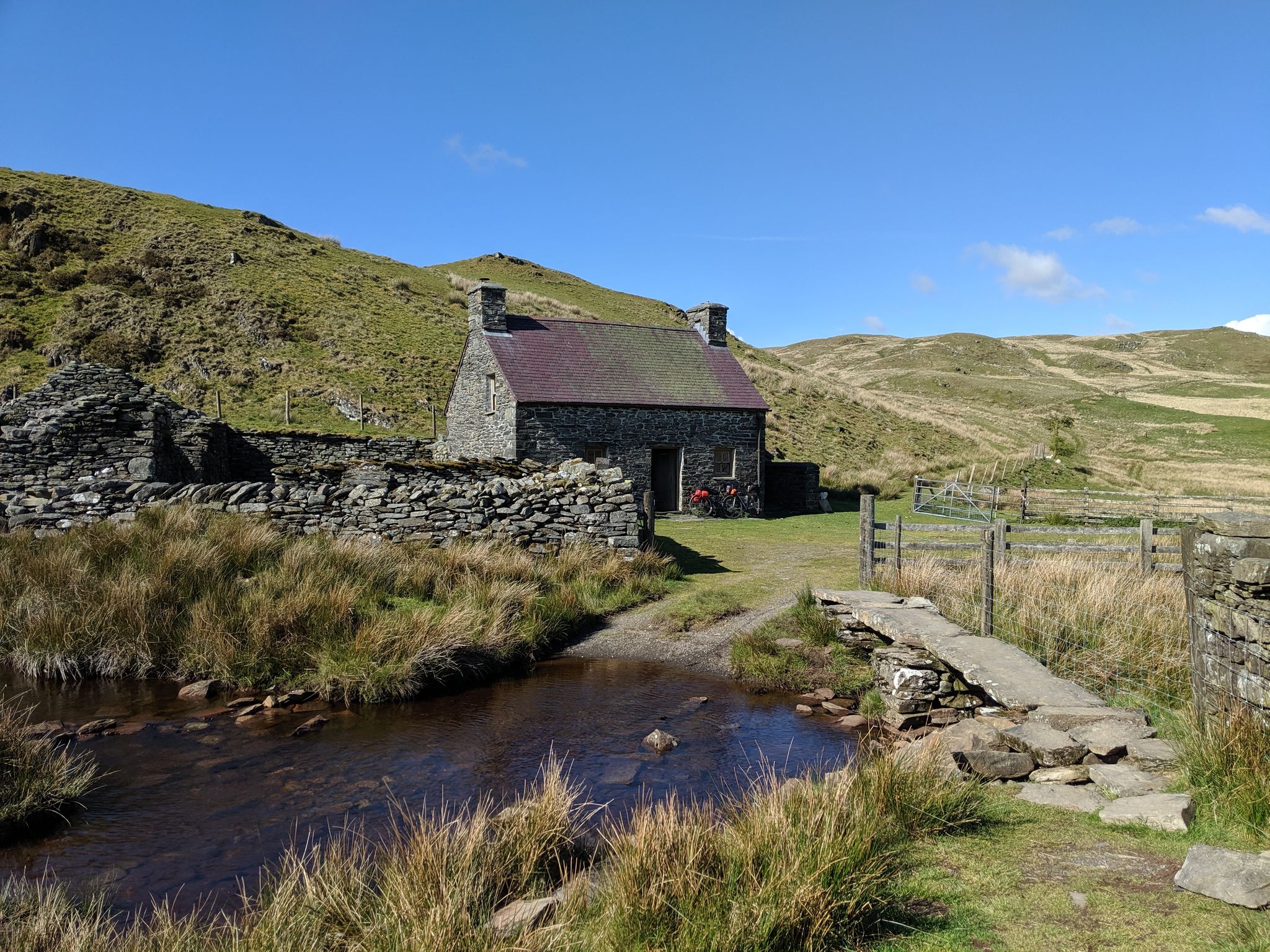
Bikepacking the best of British Bothies
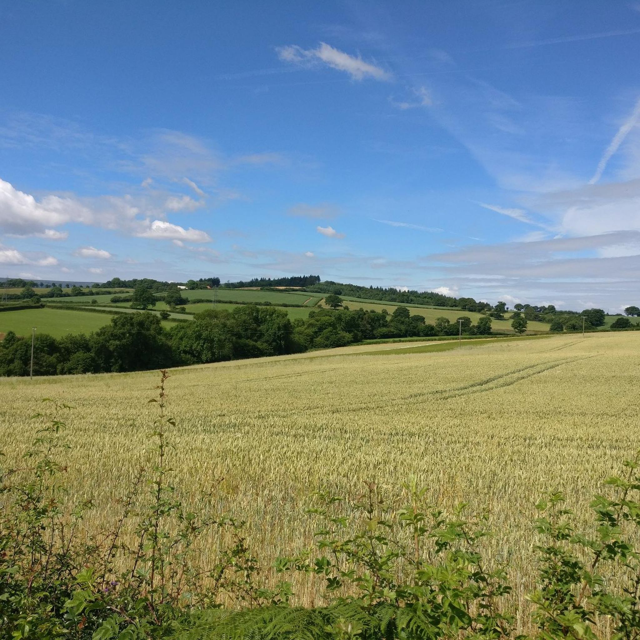
Cycling around Gobion Fawr
Road Cycling Routes around Gobion Fawr
Hiking around Gobion Fawr
Running Trails around Gobion Fawr

Gravel biking around Gobion Fawr
MTB Trails around Gobion Fawr
Other adventures around Gobion Fawr


Tips from the Community

Easy accent if climbing from the side of the national trust carpark. For a more challenging climb, accend from the opposite side.
0
0

The Cambrian Way is an iconic long-distance footpath that runs 298 miles (480 km) from Cardiff in the south to Conwy in the north. That distance comes with a challenging 22,500m (73,700ft) of height gain. This tough trail passes through some of the most spectacular and beautiful scenery in Wales. It can also be very remote, and in the north you will hit rugged terrain that will include high ridges and challenging mountains. You can do it in more attainable one-day sections, or you can be a purist and do it in a gruelling, continuous three-week hiking odyssey. Here on the southern flanks of the Sugarloaf, the terrain might be more sedate, but it is as equally as beautiful. The hike up from Abergavenny on this Cambrian Way section has good views of the Sugarloaf in front, across to the Blorenge in the south, and Skirrid Mawr to the east. Not for nothing was the Sugarloaf included in the Trail magazine’s Top 100 Britain's Greatest Mountains list.
1
0

Easy walk, bit rocky at the top, very enjoyable walk
0
0

Formally known as the Sugar Loaf Mountain and is one of the highest peaks in the heart of the Black Mountains. It stands at 1,955 feet high (596 metres). An iconic peak Its conical shape is reminiscent of a volcano, but the mountain is made of the same old red sandstone as the rest of the Black Mountains.
2
0

Keeper’s Pond is an amazing pond, outstanding beauty with great views of the Usk valley 🤩
0
2

The roads leading to the Sugar Loaf mountain are all very narrow, 1 car width. You may meet oncoming traffic and need to reverse 100m or more to a passing point. Do not be put off! The car park is small but does have an overflow area 200m before you get to it. The walk leads you naturally into a steep decline into a valley, possibly 130m lower. It doesn’t sound much but the climb from that position is significantly harder. My advice would be to walk around this valley and follow the alternate path. Namely when you walk from the car park do not aim for the top but go further to the left. So much easier to do. The views are stunning and totally worth the effort. Enjoy komooters😀
2
0

This summit with beautiful views over the Black Mountains on the border between Wales and England, felt like the real start of the Beacon Way.
0
0
Newly Dragonised by myself 🙌 Blorenge,[2] also called The Blorenge is a prominent hill overlooking the valley of the River Usk near Abergavenny, Monmouthshire, southeast Wales. It is situated in the southeastern corner of the Brecon Beacons National Park. The summit plateau reaches a height of 561 m
1
0
Frequently Asked Questions
What are some of the most popular natural monuments to visit around Gobion Fawr?
The region around Gobion Fawr, part of the Fforest Fawr UNESCO Global Geopark, offers several highly-regarded natural monuments. Among the most popular are Sugar Loaf Summit, known for its isolated conical shape and panoramic views, and Skirrid Fawr summit, an iconic mountain offering challenging climbs and rewarding vistas. Another favorite is Keeper's Pond (Pen-Ffordd-Goch Pond), a scenic spot ideal for picnics and wildlife observation with views towards the Sugar Loaf and Black Mountains.
What unique geological features can I explore in the Gobion Fawr area?
Gobion Fawr is situated within a landscape shaped by 470 million years of geological history. You can explore areas of extensive "karstification" in the Carboniferous Limestone, which has created numerous swallow holes, sinks, and doline fields, more abundant here than anywhere else in the British Isles. The region also features some of the UK's longest and deepest cave systems, such as Ogof Ffynnon Ddu. Additionally, peaks like Pen y Fan and Corn Du are significant as "nunataks," isolated peaks that stood above the ice sheet during the last Ice Age, offering insights into glacial history.
Are there family-friendly natural monuments around Gobion Fawr?
Yes, there are family-friendly options. Keeper's Pond (Pen-Ffordd-Goch Pond) is a great choice, offering a popular site for picnics and wildlife observation with beautiful views. While some summits require more strenuous effort, many areas within the Fforest Fawr Geopark offer accessible trails and opportunities for families to enjoy nature together.
What kind of outdoor activities can I do near these natural monuments?
The Gobion Fawr area provides numerous opportunities for outdoor activities. You can enjoy hiking, trail running, and road cycling. For hiking, there are easy routes like the Skirrid Fawr loop or more challenging ascents to summits. Cyclists can explore routes like the 'Three Peaks loop' around the Skirrid, Sugar Loaf, and Blorenge. Many trails offer stunning views and pass by historical sites. You can find more details on various routes in the Easy hikes around Gobion Fawr, Road Cycling Routes around Gobion Fawr, and Running Trails around Gobion Fawr guides.
What is Waterfall Country and where can I find it?
Waterfall Country, located within the Fforest Fawr Geopark, is a renowned area featuring deep, forested gorges and numerous waterfalls carved by the Rivers Nedd, Mellte, and Hepste. It's celebrated for its rich diversity of lower plants like ferns, mosses, and liverworts, earning it the nickname 'Welsh rainforests.' This ecologically diverse area is protected as a Site of Special Scientific Interest and a Special Area of Conservation.
Are there any historical or cultural sites intertwined with the natural monuments?
Yes, the natural features of the Gobion Fawr region are deeply connected to human history and culture. For instance, Skirrid Fawr summit hosts the ruins of an Iron Age hill fort and a medieval chapel. The landscape also bears marks of human activity over 11,000 years, including ancient monuments and industrial heritage, such as the remains of a tramway near Blorenge summit, linking a limestone quarry to ironworks.
What makes the Fforest Fawr UNESCO Global Geopark significant?
The Fforest Fawr UNESCO Global Geopark is globally significant for its geological importance, showcasing 470 million years of Earth's history. It provides evidence of ancient climate change, mountain building, sea level fluctuations, and glacial sculpting. Geological terms like 'Llandovery' and 'Silurian' (named after local areas) are recognized worldwide, highlighting the region's contribution to geological studies. You can learn more about its global recognition on the UNESCO website.
What can I expect from a visit to <a href="https://www.komoot.com/highlight/616548" target="_blank" rel="noopener">Blorenge summit</a>?
From Blorenge summit, you can enjoy fine views over Abergavenny and the Usk Valley, with glimpses of the Sugar Loaf. The area also features historical remnants, including the remains of a tramway built around 1796 and extensive abandoned workings for limestone. It forms part of the Blaenavon Industrial Landscape, a World Heritage Site, and is a popular spot for hang-gliding and paragliding.
Are there any ancient woodlands to explore in the area?
Yes, beyond the immediate Geopark, the Fforest Fawr woodland near Castell Coch is an ancient mixed woodland. It is particularly celebrated for spectacular displays of bluebells, wood anemones, and wild garlic in the spring. This woodland holds several nature conservation designations, including Special Area of Conservation, and is undergoing restoration to broadleaved woodland.
What do visitors enjoy most about the natural monuments around Gobion Fawr?
Visitors frequently praise the spectacular views from the summits, such as the panoramic vistas from Sugar Loaf Summit across the Brecon Beacons and Black Mountains. The challenging yet rewarding climbs, the sense of open space, and the opportunity to observe wildlife at spots like Keeper's Pond are also highly appreciated. The unique geological formations and the rich historical context of the landscape add to the overall appeal.
What is the Cambrian Way and does it pass through any natural monuments here?
The Cambrian Way is an iconic long-distance footpath spanning 298 miles (480 km) from Cardiff to Conwy, known for its challenging terrain and spectacular scenery. A section of this trail passes over the southern flanks of the Sugarloaf Summit, offering beautiful views of the Sugarloaf itself, the Blorenge to the south, and Skirrid Mawr to the east. It's a great way to experience some of the region's natural beauty as part of a longer journey.
Most popular routes around Gobion Fawr
Most popular attractions around Gobion Fawr

Get inspired with the komoot mobile app


Explore more
Extend your search for the best caves by checking out these guides of the top ones around Gobion Fawr:
