The 9 Most Amazing Peaks around Unterkulm
Mountain peaks around Unterkulm, a municipality in the Swiss Canton of Aargau, offer opportunities for outdoor activities and scenic views. The region is characterized by its diverse natural landscape, providing various elevated points and summits. These peaks contribute to the area's appeal for those seeking to explore the natural environment. The highest and most prominent peaks in the vicinity offer diverse features for visitors.
Best mountain peaks around Unterkulm
- The most popular mountain peaks is Gislifluh/Gisliflue, a summit that…
Last updated: July 7, 2026
Gislifluh/Gisliflue
Highlight • Summit
Translated by Google •
Tip by

Biberstein
Highlight • Settlement
Translated by Google •
Tip by

Sign up now to discover places like this
Get recommendations on the best single tracks, peaks, & plenty of other exciting outdoor places.
Sign up for free
Siebenzwingstein Boundary Stone
Highlight • Monument
The border …
Showing Translation
Tip by

Seerose Hotel & Restaurant
Highlight • Restaurant
Translated by Google •
Tip by
Gislifluh Summit Trail (S3)
Highlight (Segment) • Trail
Translated by Google •
Tip by

Sign up for free to discover even more peaks around Unterkulm.
Sign up for free
Already have an account?
Start today with a free account
Your next adventure awaits.
Login or Signup
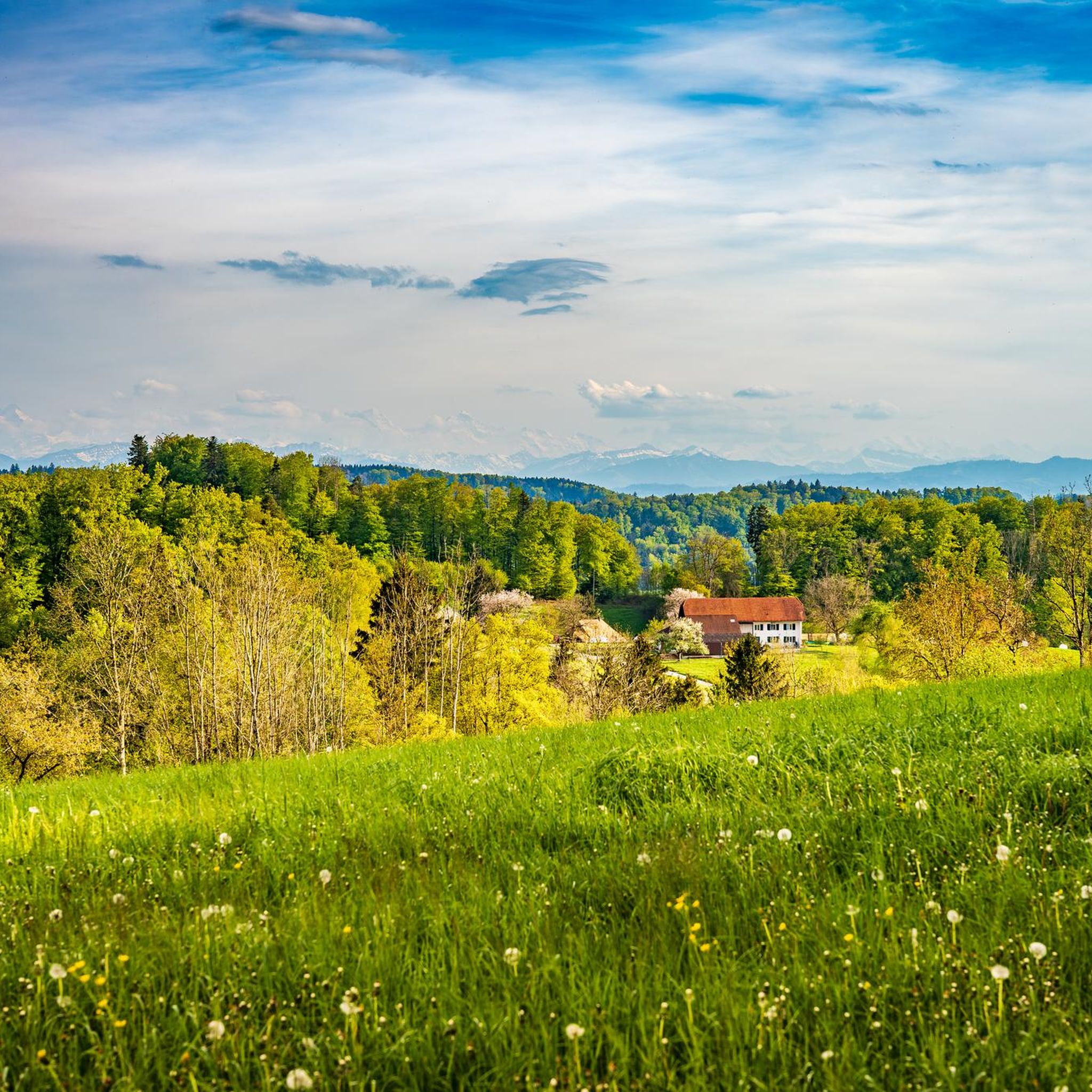
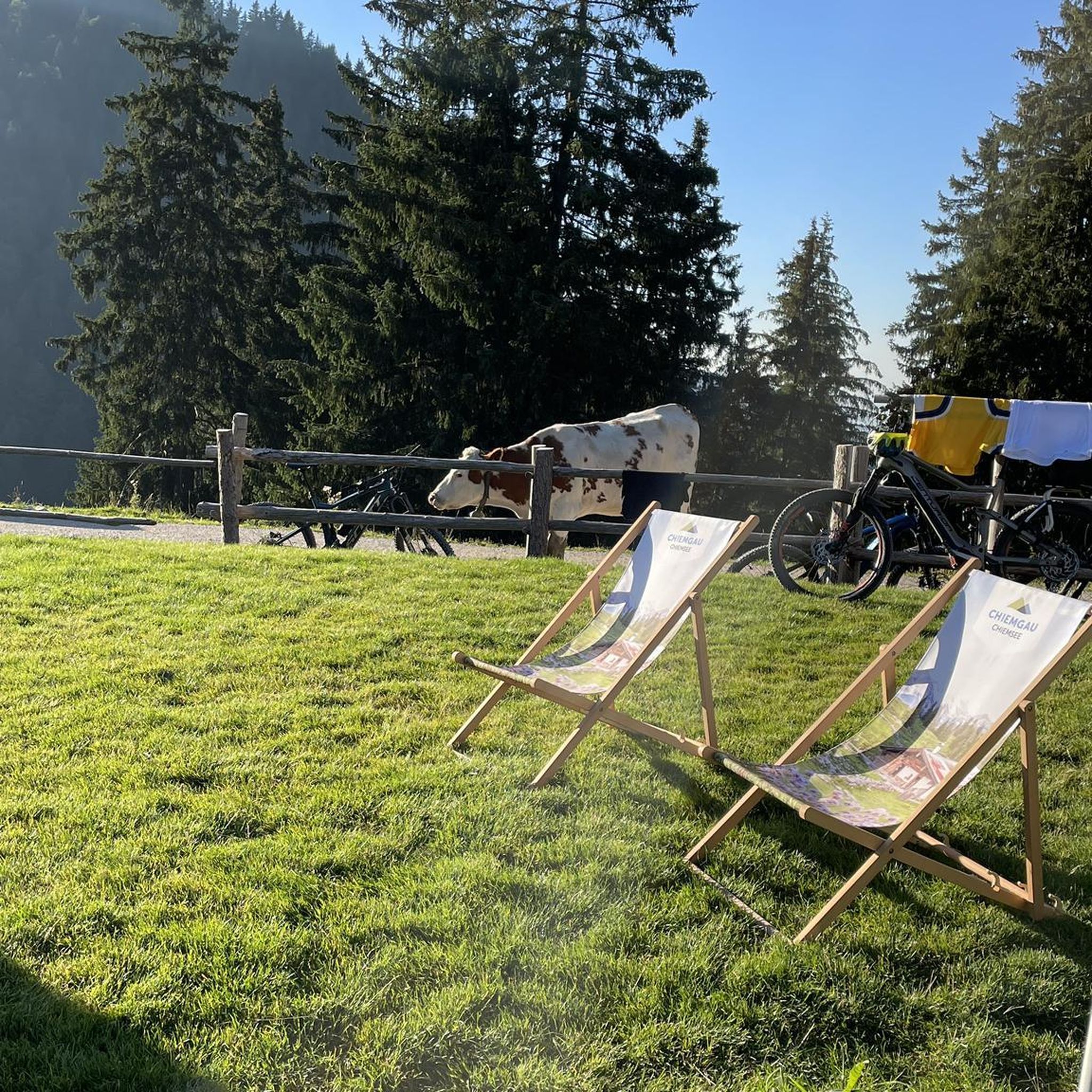
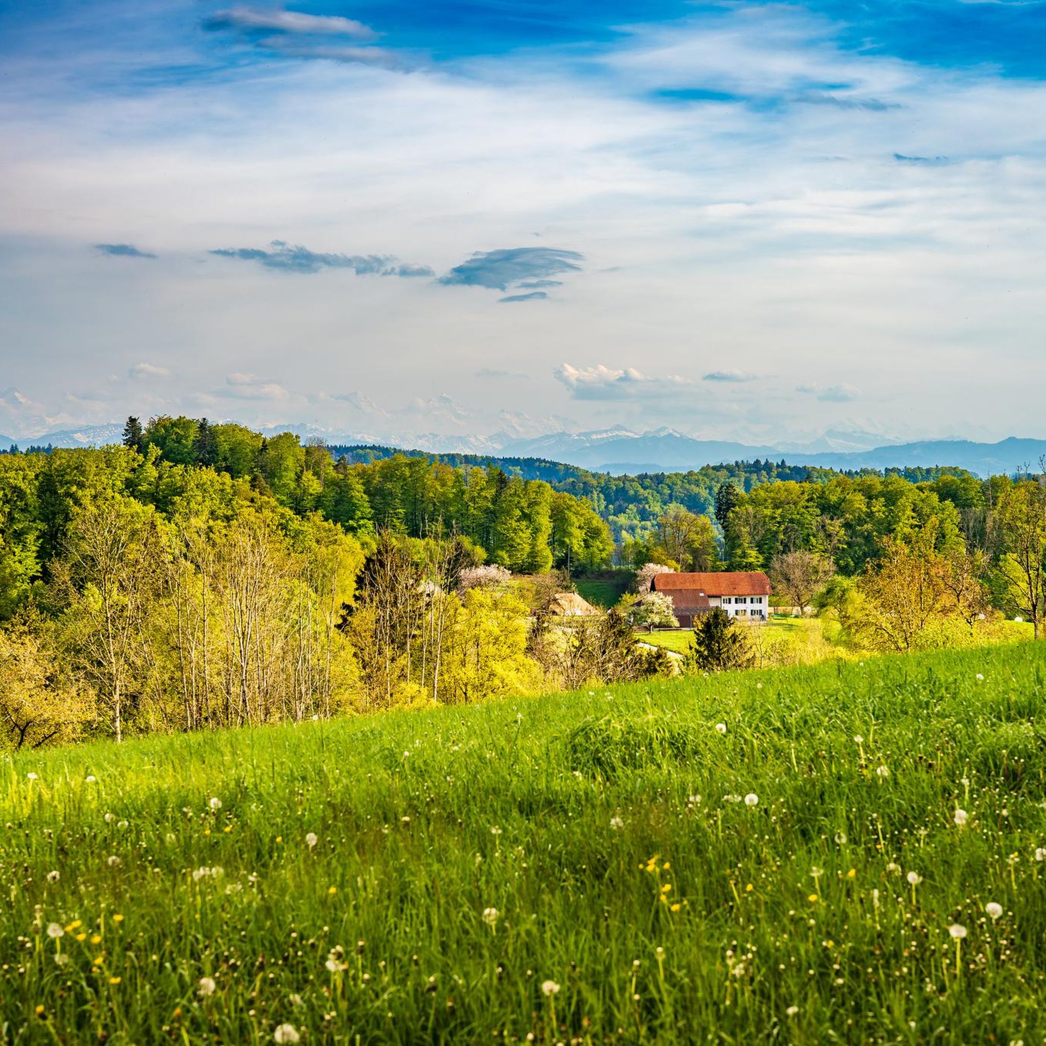
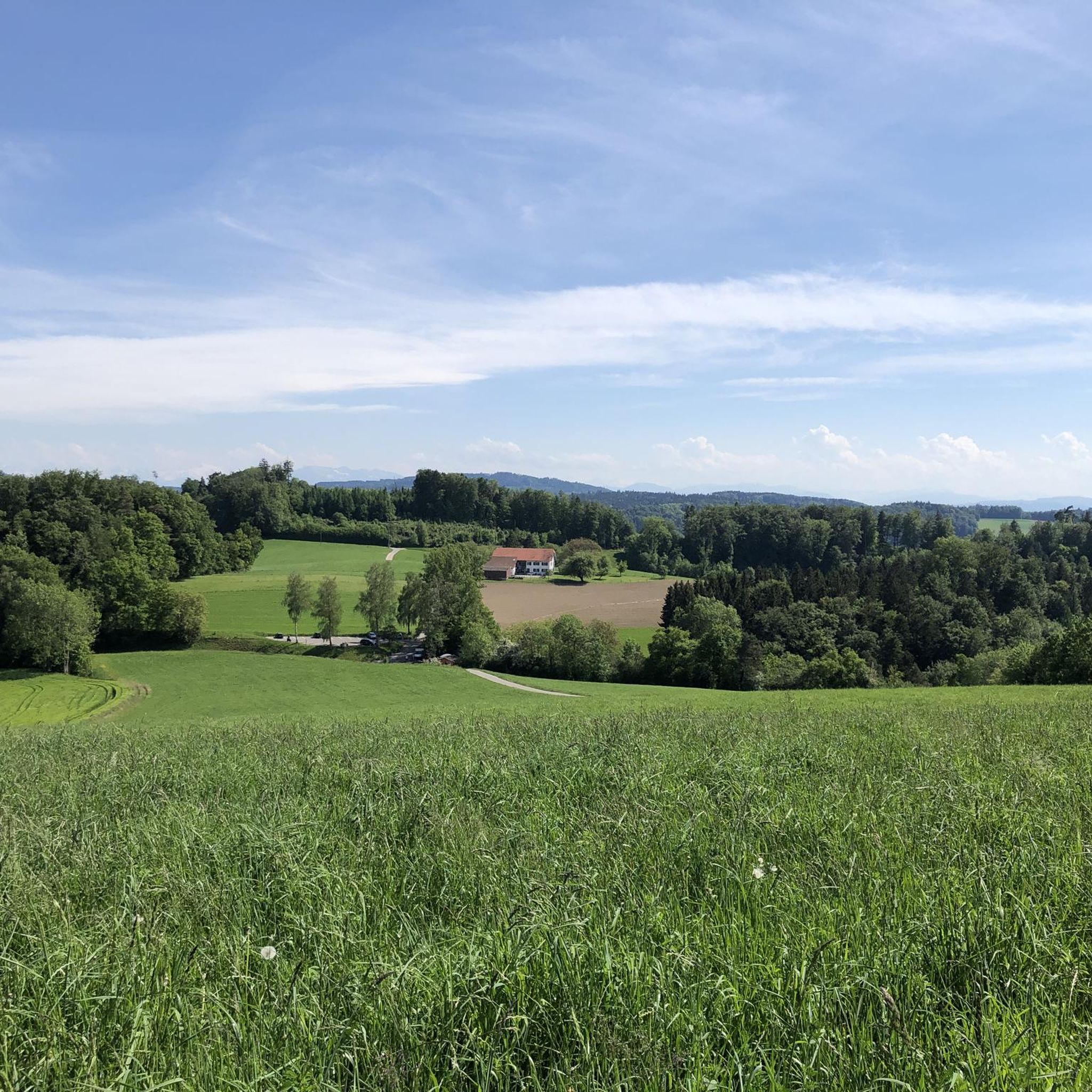
Tips from the Community

The ideal starting and ending point for circumnavigating the lake. Large parking lot available, including a swimming pool if you feel like it.
1
0

2-3 quite difficult places, rutted and steep. Since it was dry today it was still easy to ride, but you can't walk, it's too steep!
0
0

It's really challenging but doable or not depending on the wetness / foliage. Be careful anyway.
1
0

The Siebenzwingstein is a boundary stone. You can find the exact meaning on Wikipedia. https://de.wikipedia.org/wiki/Siebenzwingstein?wprov=sfla1 If you just whiz by, you'll hardly see it, as it lies a few meters above the road.
1
0

Is hidden just before the paths cross.
1
0

Great stone but be careful not to miss it!!
1
0

By buying basic groceries in the castle shop, you support the Biberstein Castle Foundation.
3
0

The Siebenzwingstein marks the border between the three communities Gränichen, Teufenthal and Seon. At the same time, it marks the border between three districts of the canton of Aargau: Lenzburg, Kulm and Aarau and lies at 607 m above sea level. M.
1
0
Frequently Asked Questions
What are some popular mountain peaks and elevated points to visit around Unterkulm?
Visitors frequently enjoy the scenic views from Gislifluh/Gisliflue, known for its beautiful sunsets. Another unique spot is the Siebenzwingstein Boundary Stone, a historical landmark marking the intersection of three municipalities and districts. The settlement of Biberstein, with its castle, also offers a blend of history and natural beauty.
What is the highest mountain peak in the Canton of Aargau near Unterkulm?
The highest mountain in the Canton of Aargau, which is accessible from the Unterkulm region, is Stierenberg, reaching an elevation of 872 meters above sea level. It offers expansive views and is a significant attraction for those looking to conquer the canton's highest point.
Are there any less crowded mountain peaks or viewpoints near Unterkulm?
Yes, Gislifluh/Gisliflue is often less crowded, providing a tranquil atmosphere, especially during sunset. It's a great option if you're looking for a peaceful experience away from larger crowds.
What kind of views can I expect from the peaks around Unterkulm?
The peaks around Unterkulm offer diverse and expansive views. From Gislifluh/Gisliflue, you can enjoy wonderful sunset views over the Jura chain. Other elevated points provide panoramic vistas of the surrounding Aargau landscape, including forests, rivers, and settlements.
Are there family-friendly activities or sites near the mountain peaks?
The area around Biberstein, with its castle and natural surroundings, is considered family-friendly. While specific mountain peaks might involve more challenging hikes, the general region offers opportunities for families to enjoy nature and historical sites.
What historical landmarks can be found among the elevated points near Unterkulm?
The Siebenzwingstein Boundary Stone is a notable historical landmark. This unique elevated point, marked by interlocking granite blocks, signifies a historical border between three municipalities and three districts in the Canton of Aargau. Additionally, the settlement of Biberstein features a historic castle.
What outdoor activities can I do near these mountain peaks?
The region around Unterkulm offers a variety of outdoor activities. You can explore numerous running trails, such as those found in the Running Trails around Unterkulm guide. For cyclists, there are gravel biking routes detailed in the Gravel biking around Unterkulm guide, and mountain biking enthusiasts can find trails in the MTB Trails around Unterkulm guide.
Are there specific hiking trails that lead to the mountain peaks?
Yes, there are trails leading to the peaks. For instance, the Gislifluh Summit Trail (S3) offers a challenging route to the summit of Gislifluh, known for its technical sections with large pointed stones and high roots. Many other hiking opportunities are available throughout the region.
What do visitors particularly enjoy about the mountain peaks around Unterkulm?
Visitors appreciate the diverse natural landscape and the opportunities for outdoor activities. Many enjoy the tranquil atmosphere and wonderful sunset views from Gislifluh/Gisliflue. The historical significance of sites like the Siebenzwingstein Boundary Stone also captivates many.
Is mountain biking allowed on all peaks near Unterkulm?
While the region is popular for mountain biking, it's important to note that mountain biking on the summit of Gislifluh/Gisliflue is generally not recommended on weekends due to an agreement. Always check local regulations and trail conditions before heading out.
What is the best time of year to visit the mountain peaks around Unterkulm?
The region offers beauty year-round. While specific tips for 'best time' are not provided for all peaks, the Gislifluh/Gisliflue is noted as a worthwhile destination even in winter, suggesting that many peaks can be enjoyed across different seasons, depending on the activity.
Most popular routes around Unterkulm
Most popular attractions around Unterkulm

Get inspired with the komoot mobile app


Explore more
See even more amazing summits around Unterkulm with these guides:
