Top 6 Natural Monuments around Santo Antão Do Tojal
Natural monuments around Santo Antão Do Tojal, located in the municipality of Loures, Portugal, offer a diverse range of natural features to explore. While the area is known for its historical heritage, the surrounding landscape provides access to significant natural attractions. These include expansive estuaries, geological formations, and trails with waterfalls. The region's natural features provide varied terrain for outdoor activities and offer a blend of natural beauty and historical context.
Best natural monuments around Santo Antão Do Tojal
- The…
Last updated: June 29, 2026
Tagus Estuary
Highlight • River
Translated by Google •
Tip by

Shaded Trail with Waterfalls
Highlight • Trail
Tip by

Sign up now to discover places like this
Get recommendations on the best single tracks, peaks, & plenty of other exciting outdoor places.
Sign up for free
Caves of Vale da Calada
Highlight • Cave
"The small village of Olelas, twenty or so kilometers from Lisbon, to the Northwest, and about 800m east of the Sabugo station, on the …
Translated by Google •
Tip by

Campo de Lapiás de Negrais
Highlight • Natural Monument
Translated by Google •
Tip by

Marble Quarry Lagoon of Pêro Pinheiro
Highlight • Lake
Translated by Google •
Tip by

Sign up for free to discover even more natural monuments around Santo Antão Do Tojal.
Sign up for free
Already have an account?
Start today with a free account
Your next adventure awaits.
Login or Signup
Tips from the Community

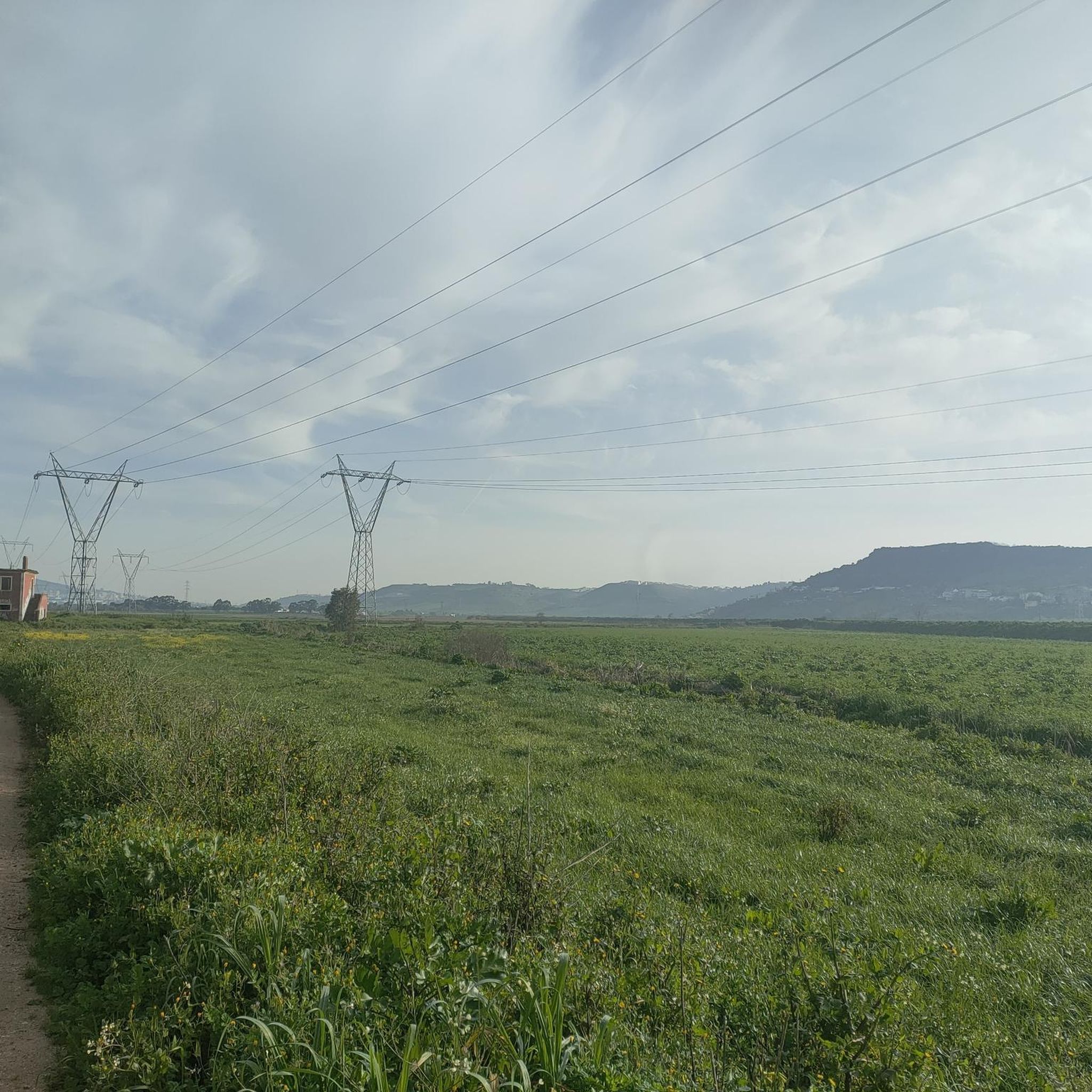
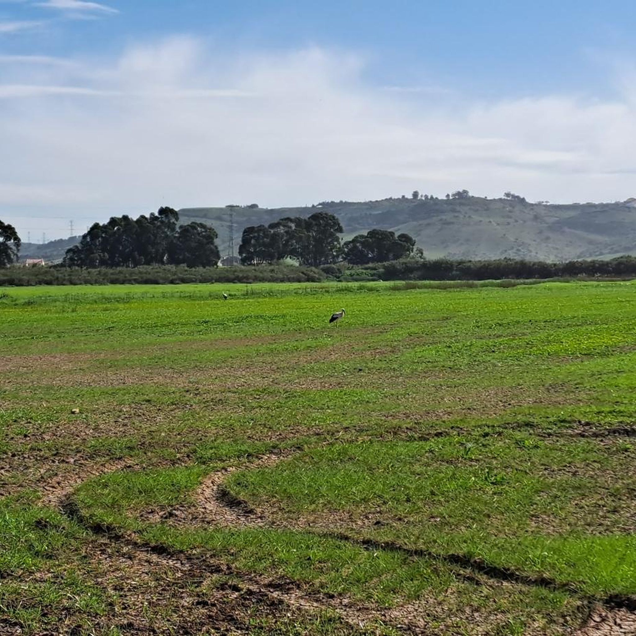
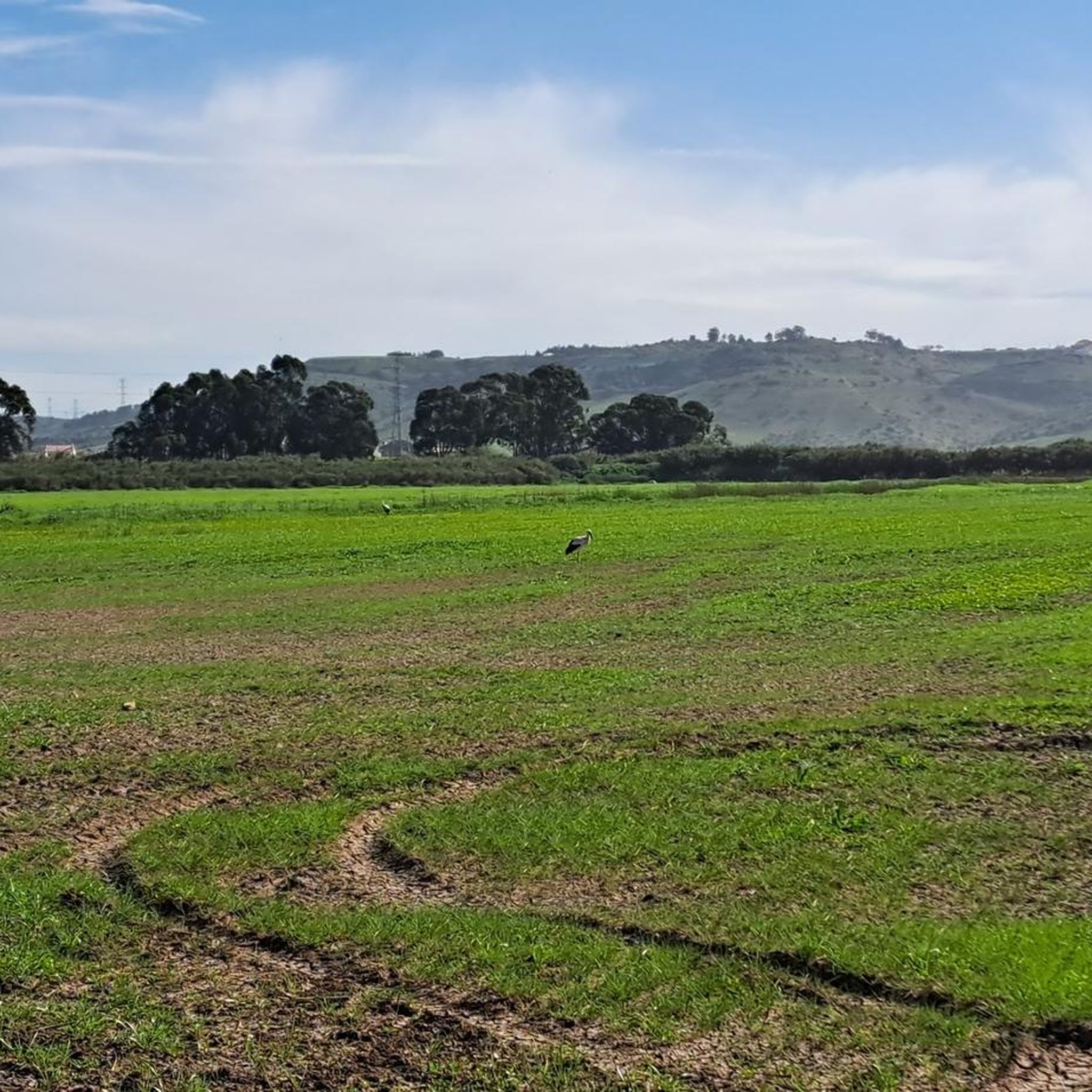
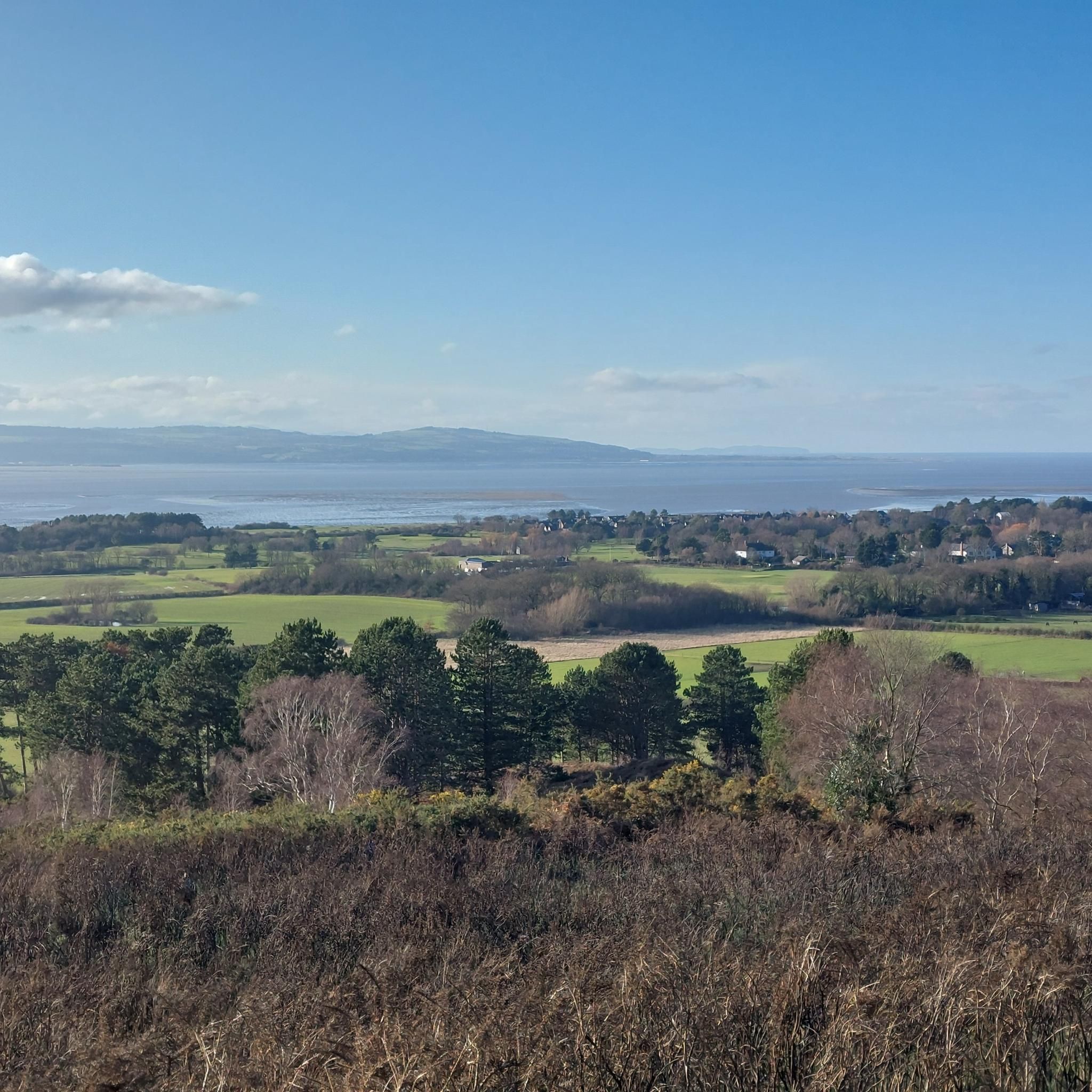
The Tagus Estuary Nature Reserve (RNET) is located in an area of high natural richness and diversity. Covering approximately 14,415 hectares, it is integrated into the largest wetland area in Portugal – the Tagus Estuary, including estuarine waters, sandbanks, salt pans, agricultural land, and cork oak forests. The connectivity of these habitats ensures the presence of a great diversity of living beings, such as mollusks, crustaceans, and small amphibians. It is also a nursery for various species of marine fish and a very important ecosystem for migratory fish. The estuary is also of great importance to aquatic birds, being one of the places with the most wintering birds in Europe.
1
0

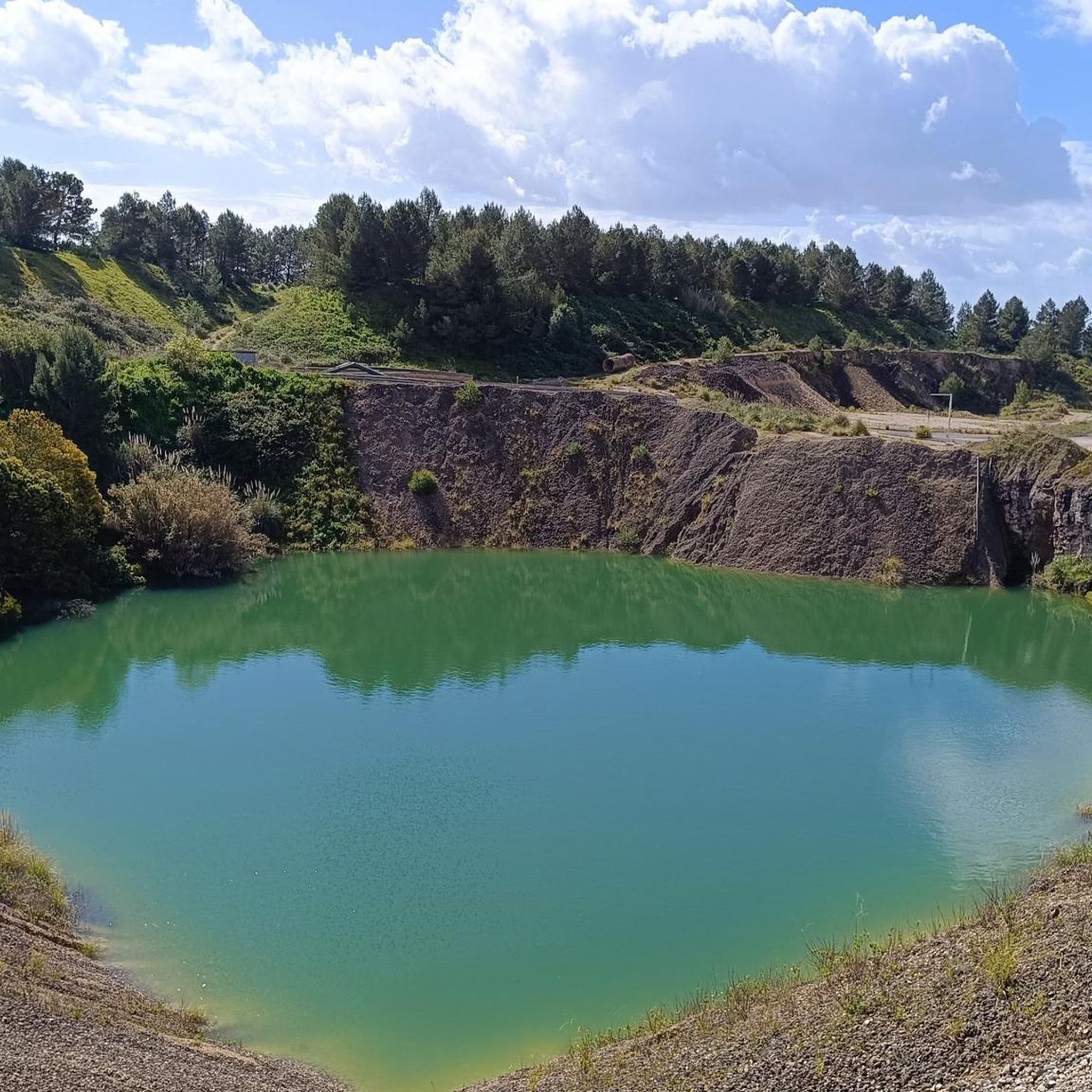
Pêro Pinheiro, a village in the municipality of Sintra, gained notoriety "here and beyond" due to its marbles. At the beginning of this century, there were around 300 small and medium-sized companies dedicated to the transformation of said stone, much of which was extracted in these quarries in the region and another was "imported" from the Vila Viçosa and Estremoz area. Pêro Pinheiro has thus become the largest marble transformation center at national level, which has played an important role in the regional economy. In recent years, due to the crisis in civil construction, the demand for this stone has significantly decreased, ending up "condemning" many of these "quarries" to closure.
0
0

This waterfall is normally dry after 1 month of rain season, so by late march or early april it is normally dry. Then it should have water by november.
0
0

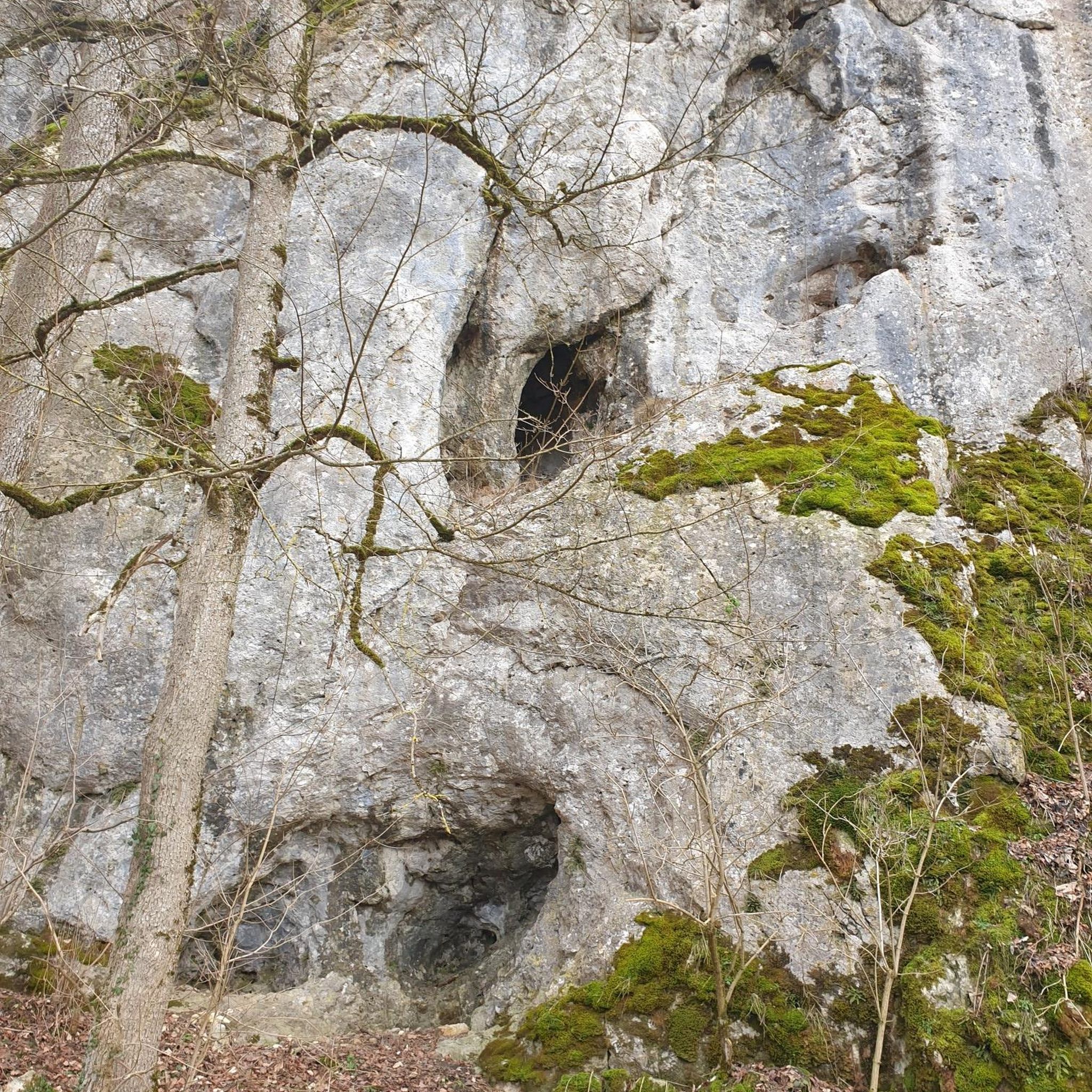
Necropolis caves of Vale da Calada: "The small village of Olelas, twenty or so kilometers from Lisbon, to the Northwest, and about 800m east of the Sabugo station, on the West railway line, to which it is connected by a path, is located at an altitude of 200m on a terrace on the slope of the Serra de Olelas, a series of small, extremely rocky hills, the northernmost of which can be seen the geodesic pyramid of the same name. Northeast of Olelas, between Cabeço do Norte and do Sul, Picôto, is excavated, as we said, a narrow valley called Vale da Calada, with steep slopes where the rock is bare in the upper parts and covered with kermes in the upper parts. lower altitudes. It is even this aspect that distinguishes the two hillocks from neighboring lands, which on the contrary are well used in different cultures and with some trees, making them stand out remarkably in the landscape for those visiting Sabugo station. These two rocky massifs, neatly cut out by the erosion that sculpted countless anfractuosities in them, have on their flanks that form the valley the three aforementioned caves of unequal importance. On the southern slope of the valley, Cova da Raposa, the largest of the three caves, has its double opening facing North and giving on a small terrace cut in half by a curious natural arch, carved in the rock, resembling a butante arch of a Gothic cathedral , quite wide at the top and tapering towards the base that deviates from the plumb to the west side." The two caves are separated, from the mouth to about 4m inland, by rock perforated on both sides and at various points by small openings, which cross it. Cova do Biguino, is a more regular cave, located on the north slope with the mouth facing southwest and opening onto a small terrace at a height greater than 10m above the Cova da Raposa border." - Removed from the website of the Union of Parishes of Almargem do Bispo, Pêro Pinheiro and Montelavar.
1
0

Lapiás ou lapiaz [1] (word derived from lapiaz, from the Jura dialect) is a typical karst relief formation, produced by the superficial dissolution of calcareous or dolomitic rocks. It can also be caused by freezing and thawing cycles in cold weather regions. Lapiás, together with dolines, cenotes, cones and karst valleys, form the outer portion of the karst relief, also known as exocarste, while caves, crevices and speleothems make up the underground part of karst, or endocarste. Lapiás consist of fractures in the superficial rocks that expand through the dissolution of the rock, resulting in large channels that groove the rocks horizontally or vertically, as well as fields of large rocks, isolated from each other and with different types of flutes, fringes and surface holes. In some cases, only depressions occur along the surface of the rock, which is not fragmented. Lapiás are formed initially by dissolving the rock at the interface with the soil and cracks are opened. After erosion of the topsoil, the rocks are exposed and the dissolution of the rock continues to expand the cracks. Eventually the rocks are completely separated and form fields of level rocks or groove and crevice patterns. Soil and vegetation can fill the spaces between rocks.
2
0
Frequently Asked Questions
What are some significant natural attractions near Santo Antão Do Tojal?
The area around Santo Antão Do Tojal offers diverse natural features. You can explore the expansive wetlands of the Tagus Estuary, discover unique geological formations like the Caves of Vale da Calada, or visit the Shaded Trail with Waterfalls. Other notable sites include the Campo de Lapiás de Negrais and the Marble Quarry Lagoon of Pêro Pinheiro.
Where can I experience unique geological formations in the area?
For unique geological formations, visit the Caves of Vale da Calada, which are ancient necropolis caves with distinct rock structures. Another fascinating site is the Campo de Lapiás de Negrais, where you can observe typical karst relief formations created by the dissolution of calcareous rocks.
Are there any waterfalls to visit near Santo Antão Do Tojal?
Yes, you can find a waterfall along the Shaded Trail with Waterfalls. It's important to note that this waterfall is typically dry after one month of the rainy season, usually by late March or early April, and should have water again by November. The Barcarena Waterfall is also a natural feature in the nearby landscape.
What opportunities are there for birdwatching or riverside walks?
The Tagus Estuary is an excellent location for birdwatching, being one of the places with the most wintering birds in Europe. The Parque Ribeirinho, located east of Loures, offers a 5.6-kilometer boardwalk along the Tagus Estuary, perfect for riverside walks, jogging, and cycling, allowing access to previously inaccessible parts of the riverbank.
Are there family-friendly natural spots around Santo Antão Do Tojal?
Yes, the Parque Ribeirinho boardwalk along the Tagus Estuary is suitable for families, offering easy walks and cycling opportunities. For easy hiking, consider routes like the Tagus Estuary loop from Póvoa, which is 4.9 km long and rated easy.
Can I find hiking trails near these natural monuments?
Absolutely. There are several hiking opportunities in the vicinity. You can explore easy hikes such as the Tagus Estuary loop from Póvoa or the Trancão Pedestrian and Cycle Bridge – Tagus Boardwalk loop from Sacavém. For more options, check out the easy hikes around Santo Antão Do Tojal guide.
What about cycling opportunities in the area?
The region offers various cycling routes. For road cycling, you can find routes like the Nicola Café loop from Loures (29.2 km, moderate) or the Jardim das Delícias Café loop from Loures (60.4 km, difficult). For touring bicycles, options include the Caminho de Fátima – São Julião do Tojal Palace loop from Loures (27.1 km, moderate). More routes are available in the road cycling and general cycling guides.
When is the best time of year to visit the natural monuments?
The best time to visit depends on what you want to see. If you wish to experience the waterfall on the Shaded Trail with Waterfalls, aim for the rainy season, typically from November onwards, as it tends to be dry by late March or early April. For birdwatching at the Tagus Estuary, winter is ideal due to the presence of migratory birds.
Are there any natural monuments with historical significance?
Yes, the Caves of Vale da Calada are notable not only for their geological formations but also for their historical significance as necropolis caves. Additionally, while man-made, the Aqueduct of Santo Antão do Tojal, dating back to 1728, is beautifully integrated with the natural landscape, showcasing a blend of historical engineering and natural environment.
What kind of wildlife can I expect to see?
The Tagus Estuary is a significant ecosystem for migratory fish and is one of the places with the most wintering birds in Europe. Its diverse habitats support a variety of living beings, including mollusks, crustaceans, and small amphibians.
What is the Marble Quarry Lagoon of Pêro Pinheiro, and can I visit it?
The Marble Quarry Lagoon of Pêro Pinheiro is a site resulting from past marble extraction activities in the region. While Pêro Pinheiro was once a major marble transformation center, many quarries have closed. The lagoon itself is a unique natural feature formed within these former industrial sites. Information on direct public access for swimming or specific activities is not readily available, but it stands as a testament to the area's geological and industrial history.
Are dogs allowed on trails or at these natural sites?
While specific regulations for each site may vary, many outdoor trails and natural areas in Portugal are generally dog-friendly, especially if dogs are kept on a leash. It's always recommended to check local signage or official park websites for the most up-to-date rules regarding pets at specific natural monuments or reserves, such as the Tagus Estuary Nature Reserve.
How long should I plan for a visit to the natural monuments?
The duration of your visit can vary greatly depending on which sites you choose to explore. A leisurely walk along the Parque Ribeirinho boardwalk at the Tagus Estuary might take 1-2 hours. Exploring the Caves of Vale da Calada or the Campo de Lapiás de Negrais could take 2-3 hours each, including travel time. To visit multiple sites and enjoy some hiking or cycling, you might consider dedicating a full day or even a weekend.
Most popular routes around Santo Antão Do Tojal
Most popular attractions around Santo Antão Do Tojal

Get inspired with the komoot mobile app


Explore more
Extend your search for the best caves by checking out these guides of the top ones around Santo Antão Do Tojal:
