Top 5 Natural Monuments in San Jacinto Wilderness
Best natural monuments in San Jacinto Wilderness are found within a region known for its dramatic ecological gradients, from desert environments to high mountain peaks. This area, part of the Santa Rosa and San Jacinto Mountains National Monument, preserves significant biological, geological, and recreational values. Visitors can explore diverse landscapes, including alpine forests, high mountain meadows, and unique desert features. The wilderness offers a range of natural features for outdoor enthusiasts.
Best natural monuments in San Jacinto Wilderness
- The most…
Last updated: June 29, 2026
Tahquitz Peak
Highlight • Summit
Tip by

Suicide Rock
Highlight • Summit
Tip by

Sign up now to discover places like this
Get recommendations on the best single tracks, peaks, & plenty of other exciting outdoor places.
Sign up for free
Apache Spring Junction
Highlight • Trail
Tip by
Mt. San Jacinto State Park Wilderness
Highlight • Forest
Tip by
Apache Peak
Highlight • Summit
Tip by
Sign up for free to discover even more natural monuments in San Jacinto Wilderness.
Sign up for free
Already have an account?
Start today with a free account
Your next adventure awaits.
Login or Signup

Other adventures in San Jacinto Wilderness

Tips from the Community


The San Jacinto Wilderness is one of a kind. At an elevation of 10,834 feet, San Jacinto Peak towers high above the California desert. You can hike plenty of trails including a section along the long distance Pacific Crest Trail. There is an emergency hut beneath the summit and close by even a restaurant and an aerial tramway station that gets you into Palm Springs. To camp out, you need a wilderness permit (available at Park Headquarters in Idyllwild and the Valley Ranger Station on the Palm Springs Aerial Tramway side) for the area for 5 Dollars per person. If you have a longdistance permit for hiking the PCT, you do not have to obtain an additional permit. Here is some more information on that: parks.ca.gov/?page_id=636
1
0

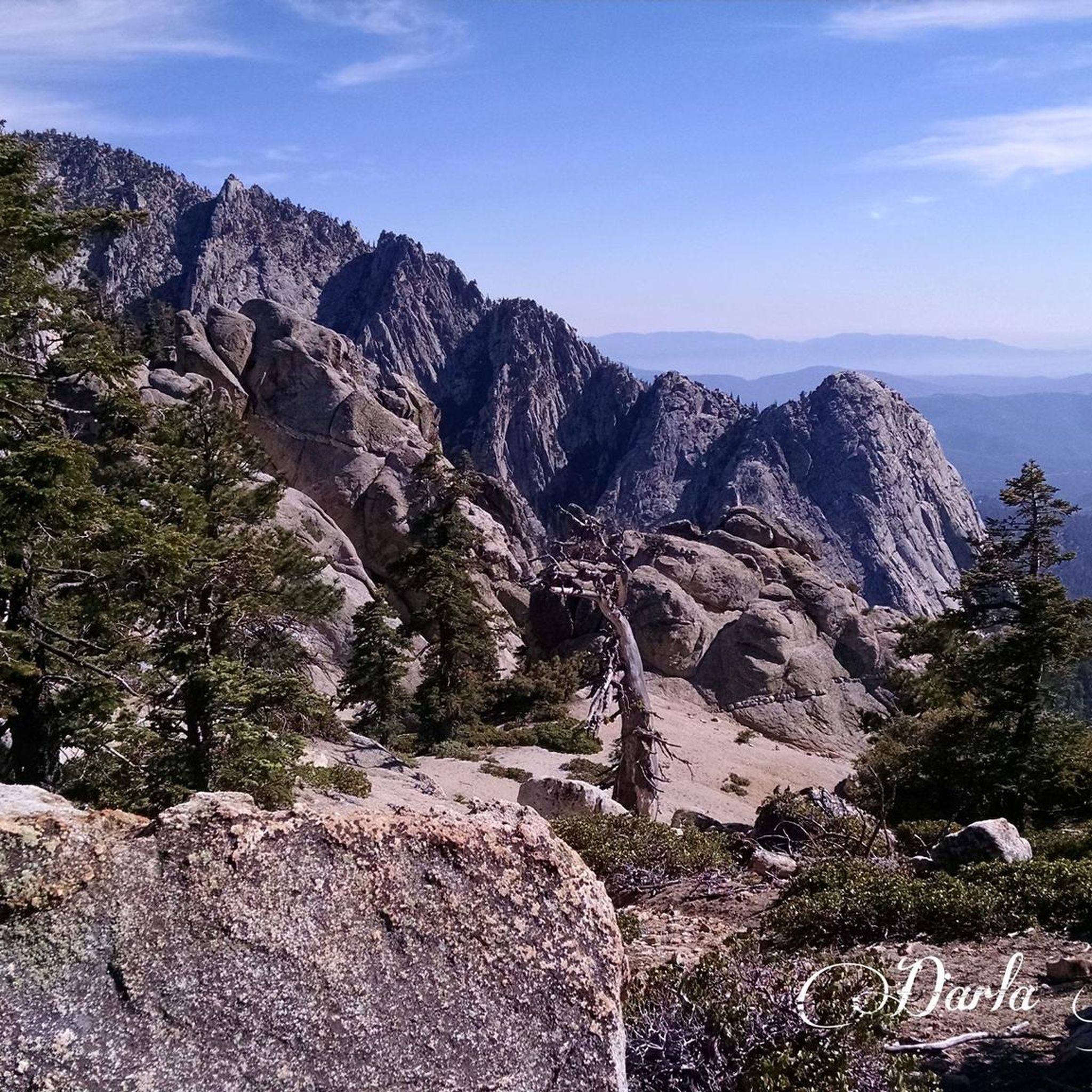
After the climb, hikers are greeted with a large slab of granite with 360 views of the surrounding mountains. Swing by the San Jacinto Ranger Station office to grab a simple permit to hike.
0
0
This structure sits on Tahquitz Peak, at an elevation of 8,846 feet. The fire lookout was built in 1937, and is the highest lookout tower in the San Bernardino National Forest. It is maned by volunteers!
0
0
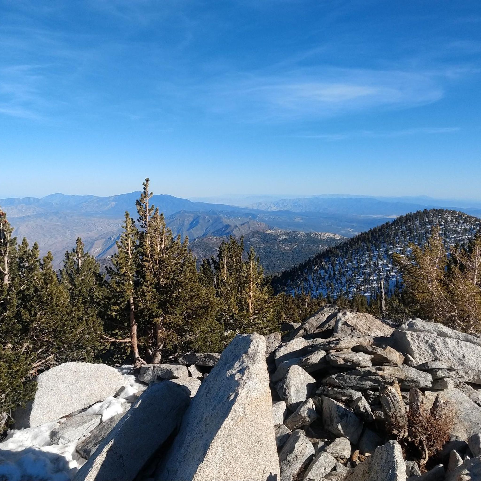
Apache Peak is just a short side trail and few feet in elevation from the Pacific Crest Trail. You will find a summit register and a gorgeous view at the top.
4
0
Tahquitz Peak is a great hiking destination with picture postcard views to the southeast and the Salton Sea. It got its name from a Native American legend saying that a demon wanted to possess the area. When the demon was killed, the spirit escaped and is now living in a cave in the San Jacinto Wilderness. San Bernadino National Forest operates the seasonal fire lookout at the summit of Tahquitz Peak which is mainly staffed by volunteers and is also the highest within the National Forest. The trail up to the mountain can be very dangerous in winter conditions, so bring proper gear. You need to obtain a free of charge wilderness permit from the Ranger Station in Idyllwild or call (909) 382-2921.
5
0
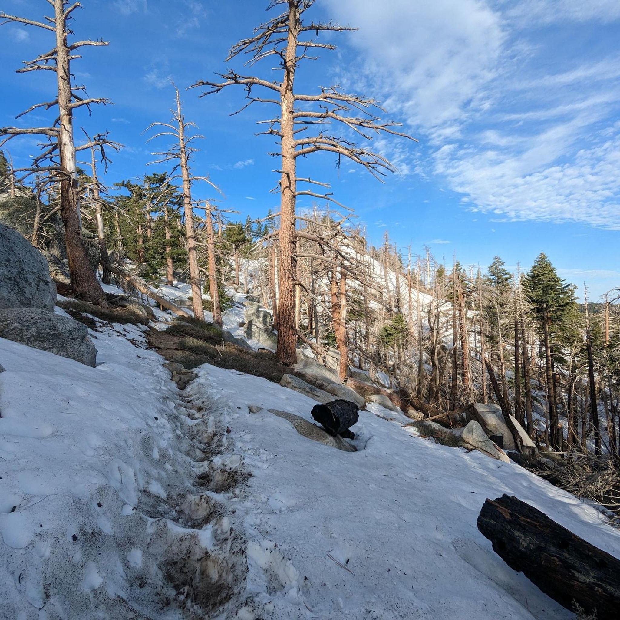
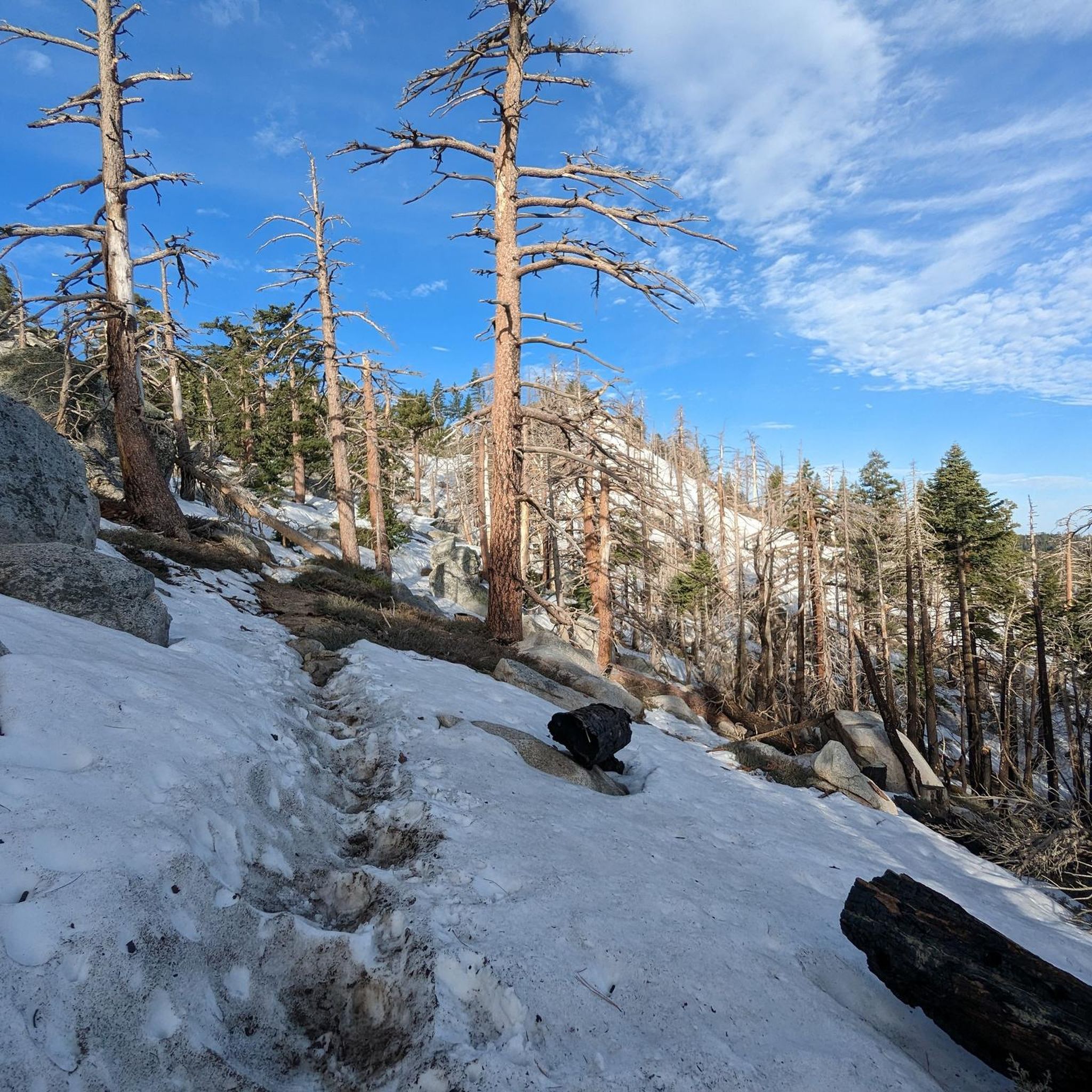
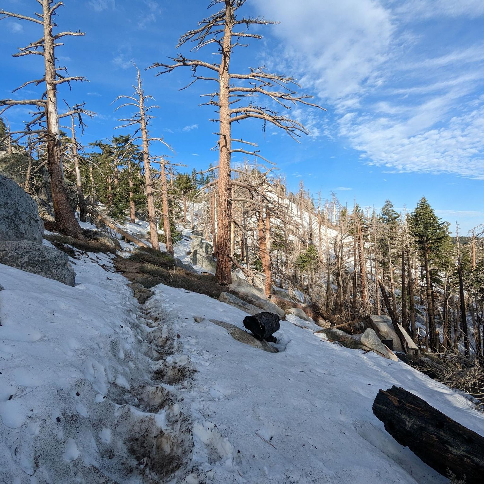
A side trail leads to Apache Spring that might be the only water source along the stretch. There is also a VERY sketchy part ahead of the PCT. Be sure to bring microspikes if you hike here in spring since the trail is likely to be icy. A hiker slipped in late March 2020 and died, so be extra careful.
5
1
Frequently Asked Questions
What are some of the most notable natural monuments and features in the San Jacinto Wilderness?
The San Jacinto Wilderness is home to several prominent natural monuments. You can explore Tahquitz Peak, known for its panoramic views and a seasonal fire lookout. Another popular spot is Suicide Rock, offering 360-degree views from its large granite slab. For expansive vistas, consider Apache Peak, a challenging summit accessible via a short side trail from the Pacific Crest Trail. The region also features diverse ecological gradients, from desert palm oases to high mountain meadows and alpine forests.
Do I need a permit to hike to natural monuments in the San Jacinto Wilderness?
Yes, a free wilderness permit is required for many trails leading to natural monuments like Tahquitz Peak and Suicide Rock. You can obtain these permits from the Ranger Station in Idyllwild or by calling (909) 382-2921.
What is the best time of year to visit the natural monuments in San Jacinto Wilderness?
The best time to visit depends on the elevation and your planned activities. The high country, including Mount San Jacinto Peak, is ideal for hiking in temperate alpine forests during the summer. In winter, these areas are suitable for cross-country skiing. Lower elevations and desert environments are more pleasant during cooler months. Always check weather and trail conditions, especially in spring when trails can be icy at higher altitudes.
Are there family-friendly trails to natural monuments in the San Jacinto Wilderness?
While many natural monuments involve challenging climbs, there are easier trails in the broader San Jacinto Wilderness area that families can enjoy. For a selection of less strenuous options, you can explore easy hikes in San Jacinto Wilderness, which include routes like the Ernie Maxwell Trail and Round Valley Trail.
What kind of unique geological features can I expect to see?
The San Jacinto Wilderness, part of the Santa Rosa and San Jacinto Mountains National Monument, is characterized by dramatic ecological gradients. You'll find magnificent California fan palm oases in lower desert canyons, contrasting with the arid landscape. As you ascend, the terrain transitions through pinyon trees, Jeffrey pines, and white firs, leading to high mountain meadows and granite formations like the large slab at Suicide Rock.
What outdoor activities can I do near these natural monuments?
Beyond visiting the natural monuments themselves, the San Jacinto Wilderness offers extensive opportunities for outdoor activities. You can find numerous hiking trails, ranging from moderate to difficult, including sections of the Pacific Crest Trail. For mountain biking enthusiasts, there are also dedicated MTB trails available.
What should I bring for a hike to a natural monument in the San Jacinto Wilderness?
Given the varied terrain and potential for challenging conditions, it's essential to be prepared. Always carry sufficient water, navigation tools, and appropriate layers of clothing. If hiking in spring or winter, especially to higher elevations, microspikes are highly recommended due to potential ice on trails, as seen near Apache Spring Junction.
Are there any viewpoints offering stunning panoramic views of the San Jacinto mountain range?
Yes, several natural monuments provide exceptional views. Tahquitz Peak offers postcard views to the southeast and the Salton Sea. Suicide Rock and Apache Peak both boast 360-degree views of the surrounding mountains. Additionally, Caramba Overlook provides stunning vistas over the San Jacinto mountain range and the surrounding forest.
How can I reach the high country of Mount San Jacinto?
You can reach the high country, including areas near Mount San Jacinto Peak, via the Palm Springs Aerial Tramway. This transports visitors from the desert floor to alpine forests in about 15 minutes, providing access to hiking trails within Mount San Jacinto State Park and Wilderness. For more information on the state park, visit parks.ca.gov.
What is the significance of the Santa Rosa and San Jacinto Mountains National Monument?
The Santa Rosa and San Jacinto Mountains National Monument, which encompasses the San Jacinto Wilderness, was established to preserve its nationally significant biological, cultural, recreational, geological, educational, and scientific values. It covers a vast area with an incredible gradient of landscapes, from desert to snow-capped mountains, and is jointly managed by the Bureau of Land Management and the U.S. Forest Service. You can learn more about the monument at blm.gov.
Are there any water sources available on trails to natural monuments?
While many trails are dry, some specific locations like Apache Spring Junction may offer a water source. However, it's crucial to carry enough water for your entire hike, as natural springs can be seasonal or unreliable. Always filter or treat any natural water sources before consumption.
What are the difficulty levels of trails leading to these natural monuments?
The difficulty levels vary significantly. Summits like Tahquitz Peak and Apache Peak are considered challenging, especially in adverse weather conditions. Suicide Rock is an intermediate climb. Always check the specific trail conditions and be prepared for strenuous ascents and descents, particularly when hiking in the high country.
Most popular routes in San Jacinto Wilderness
Most popular attractions in San Jacinto Wilderness

Get inspired with the komoot mobile app


Explore more
Extend your search for the best caves by checking out these guides of the top ones in San Jacinto Wilderness:
