Top 5 Mountain Passes in Gallatin County
Mountain passes in Gallatin County, Montana, offer diverse features and access to mountainous recreation areas. This region includes significant transportation corridors and rugged trails, separating mountain ranges like the Bridger and Gallatin. Historically, passes in the area have served as vital routes for exploration and settlement. The landscape features high peaks, extensive trail systems, and abundant wildlife.
Best mountain passes in Gallatin County
- The most popular mountain passes is Targhee Pass – Montana State Line, a mountain pass that…
Last updated: October 11, 2026
Flathead Pass Eastward
Highlight (Segment) • Mountain Pass
Tip by

Reas Pass
Highlight • Mountain Pass
Tip by

Sign up now to discover places like this
Get recommendations on the best single tracks, peaks, & plenty of other exciting outdoor places.
Ross Pass
Highlight • Mountain Pass
Tip by

Targhee Pass – Montana State Line
Highlight • Mountain Pass
Tip by

View of Bridger Pass
Highlight • Viewpoint
Tip by

Start today with a free account
Your next adventure awaits.


Other adventures in Gallatin County

Tips from the Community

The first documented crossing of Bridger Pass was by the Stansbury Expedition, and it soon became a regular route in the area. At this point, the divide appears to split, offering some unique views.
1
0

Gorgeous remote gravel/dirt pass through the Bridger range. The west side is poorly-maintained and very loose, steep, and rutted in sections. If on a standard gravel bike, expect 1-2k of hike a bike. Bigger tires with a little suspension or a mountain bike are best here. Eastern descent is a bit rough in some sections but far better maintained and a gorgeous descent with breathtaking views of the eastern side of the Bridger Range that takes you through ranch lands, with bonus views of the Crazies in the distance. Grab water at the Pass Creek School or Community Center before heading in. If hot, be sure to bring a water filter, since there is no water for the next 30-40 miles, and this summit can take a long time.
0
0

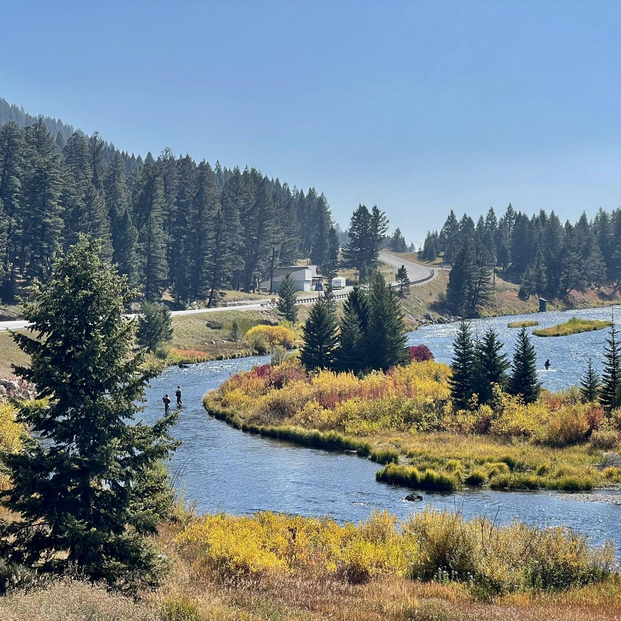
From Targhee Pass it is just 9 miles east to the town of West Yellowstone. For an easy day in/out of town, there are ample camping options littering the trail for about one mile headed north from the pass!
1
0

The Reas Pass lies essentially on the Idaho-Montana border, but modern maps show that the summit lies entirely in Idaho, because the Divide and the state line do not quite coincide here. The pass is also somewhat unusual in that, despite being the lowest crossing of the Divide in the vicinity, it has evidently never been traversed by a highway of any significance.
0
0

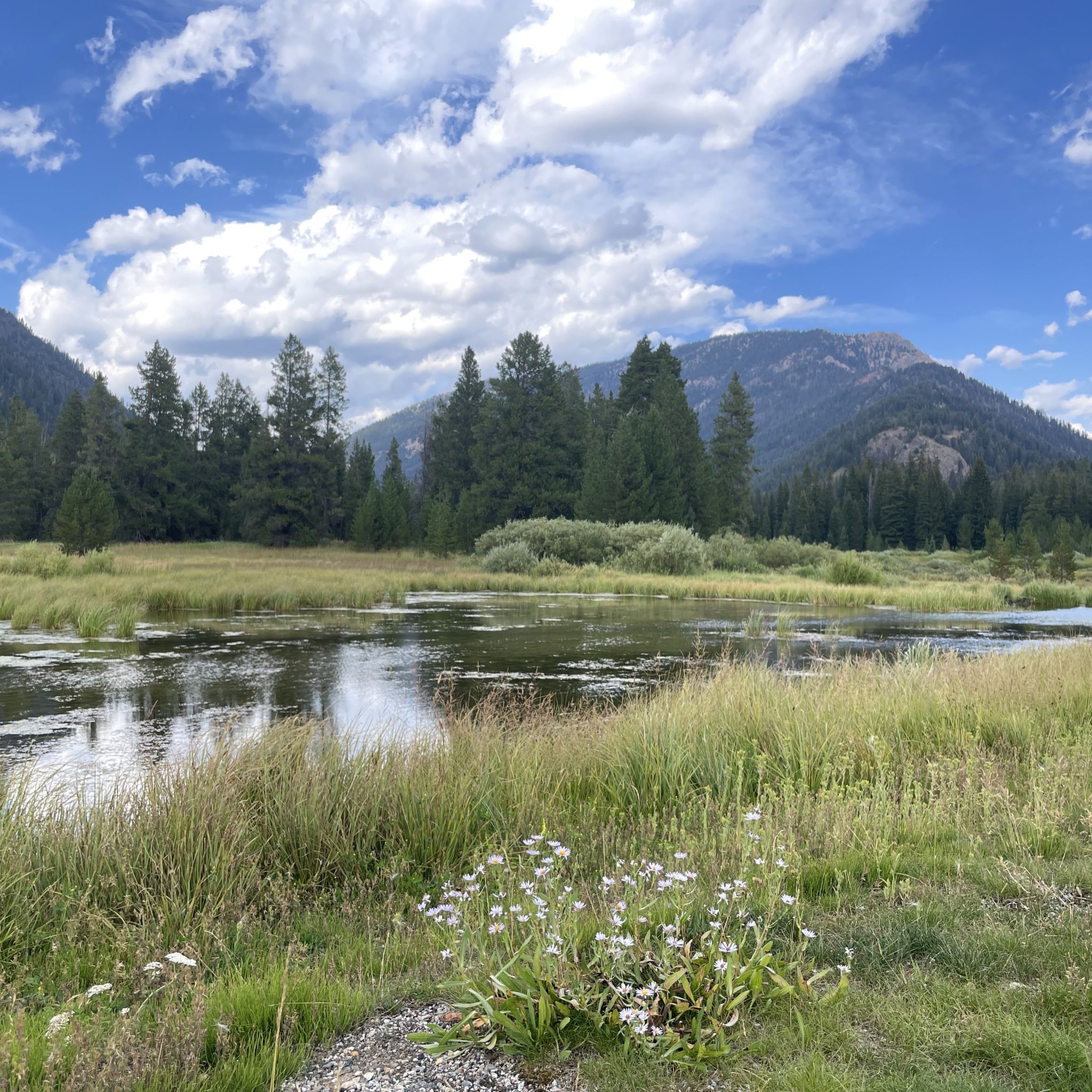
At a touch over 7,600 feet, Ross Pass serves as a major trail intersection for four different trails. There are views from this saddle both to the east and west, and you can access the summit route to Ross Peak from right here. Have a map and know where you're going this far from the car!
0
0

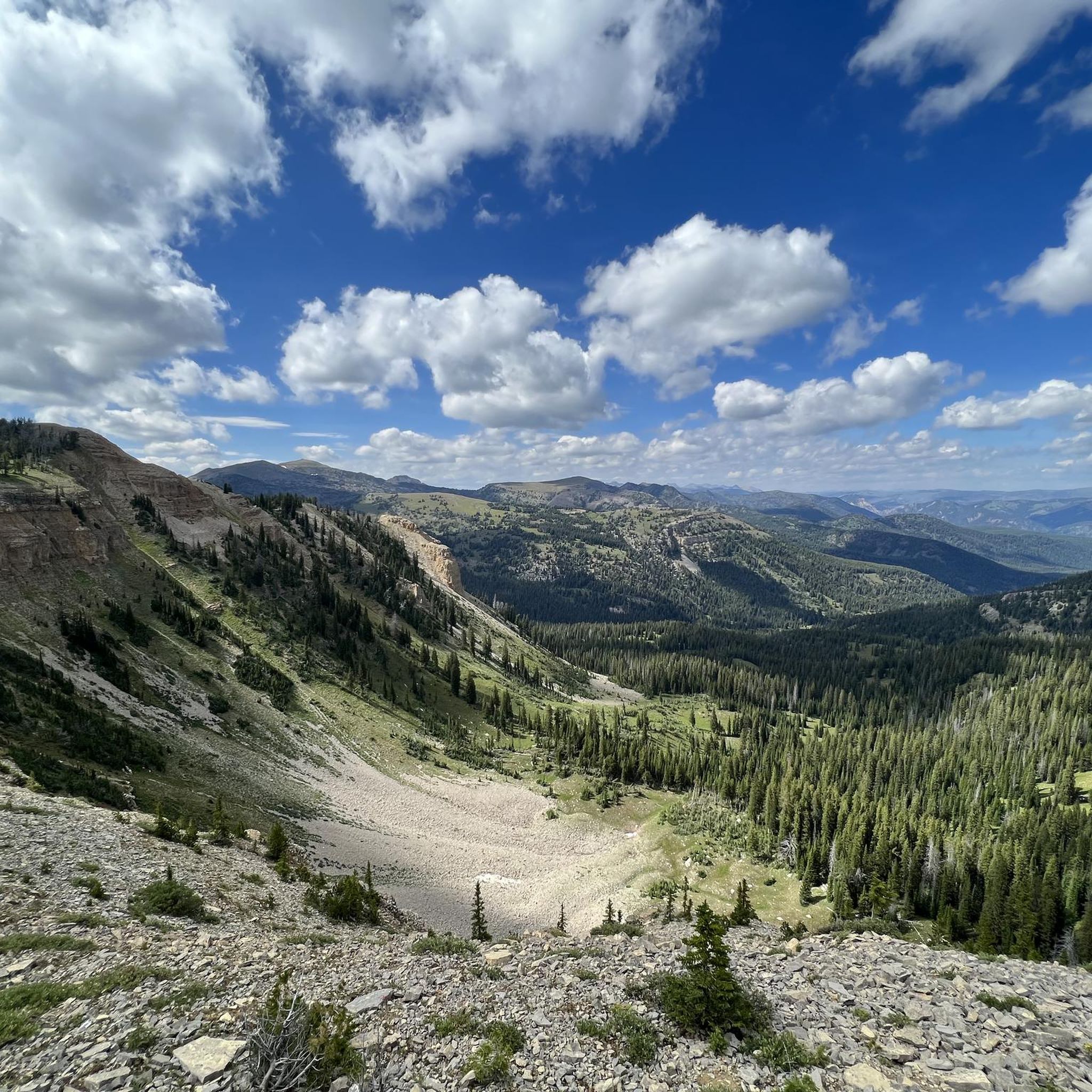
The Bridger Divide ridge dominates an amazing glacial cirque.
0
1
Frequently Asked Questions
What makes Bozeman Pass historically significant?
Bozeman Pass holds significant historical importance as part of the Lewis and Clark National Historic Trail. Sacagawea guided Captain William Clark and his party through the pass in 1806. It was also a key route for the Bozeman Trail, established in 1863, and later became part of a transcontinental railroad route. You can learn more about its history on the National Park Service website.
What kind of natural features can I expect to see around Gallatin County's mountain passes?
Gallatin County's mountain passes offer diverse natural beauty. For instance, Hyalite Canyon, a prominent recreation area, features stunning 10,000-foot mountain peaks, numerous creeks, streams, lakes, and waterfalls, including Grotto Falls and Palisades Falls. You'll also find the Hyalite Reservoir, a central feature. Passes like View of Bridger Pass offer unique perspectives of a glacial cirque, while Bozeman Pass provides breathtaking views of the Bridger and Gallatin mountain ranges.
Are there any mountain passes suitable for families or beginners?
Yes, Targhee Pass – Montana State Line is noted as family-friendly. It's located just 9 miles east of West Yellowstone and offers ample camping options north of the pass, making it an accessible day trip for many. For those seeking easier trails, Hyalite Canyon also has hiking options suitable for all skill levels.
What outdoor activities are popular near the mountain passes in Gallatin County?
The region around Gallatin County's mountain passes is a hub for outdoor activities. Hyalite Canyon, for example, offers year-round recreation including hiking, water sports, fishing, ice climbing, and winter sports like cross-country skiing and snowshoeing. For more structured activities, you can explore various running trails, cycling routes, and mountain biking trails throughout Gallatin County.
Where can I find challenging mountain pass experiences in Gallatin County?
For a challenging experience, consider Flathead Pass Eastward, described as a remote gravel/dirt pass through the Bridger range with poorly-maintained, steep, and rutted sections on its west side. The broader Flathead Pass area is also known for its rugged, narrow jeep trails, ideal for four-wheeling, ATVs, and dirt biking, offering solitude and limited cell service.
What kind of wildlife can be observed around the mountain passes?
Gallatin County's mountain passes are vital wildlife corridors. Bozeman Pass connects habitats for elk, deer, moose, grizzly bears, and cougars. Hyalite Canyon is particularly rich in wildlife, with sightings of wolves, grizzly bears, mountain goats, bighorn sheep, moose, and coyotes. Always practice responsible wildlife viewing and maintain a safe distance.
Are there opportunities for camping near the mountain passes?
Yes, there are camping opportunities. Near Targhee Pass – Montana State Line, you'll find ample camping options north of the pass. In Hyalite Canyon, there are three established campgrounds: Hoodcreek, Chisholm, and Langohr, which offer facilities like drinking water, toilets, fire rings, and picnic tables.
What is the best time of year to visit Gallatin County's mountain passes?
The best time to visit depends on your desired activity. Late summer and early fall are recommended for exploring rugged passes like Flathead Pass. Hyalite Canyon offers year-round recreation, with hiking and water sports popular in warmer months, and ice climbing, cross-country skiing, and snowshoeing in winter. Always check local conditions and weather forecasts before your trip.
Are there any mountain passes that are less crowded?
If you're seeking solitude, Flathead Pass is a good option. It's described as a rugged, off-the-beaten-path adventure with limited cell service, suggesting it sees fewer visitors than more accessible areas. Reas Pass, despite being the lowest crossing of the Divide in its vicinity, has also never been traversed by a significant highway, implying a less crowded experience.
What should I pack for a hike around Gallatin County's mountain passes?
Given the varied terrain and potential for rapid weather changes, it's wise to pack layers of clothing, sturdy hiking boots, and plenty of water. For more remote or challenging passes like Flathead Pass Eastward, a water filter is recommended as water sources can be scarce. Always carry a map, compass or GPS, and be prepared for limited cell service in some areas.
Can I access high-altitude views from the mountain passes?
Absolutely. Many passes offer spectacular high-altitude views. For example, Ross Pass, at over 7,600 feet, provides views to both the east and west, and is a starting point for the summit route to Ross Peak. Hyalite Peak Trail, within Hyalite Canyon, offers spectacular views from its 10,299-foot peak after a challenging ascent.
Are there any specific trails or routes recommended for hiking near the passes?
Hyalite Canyon boasts a legendary trail system. Notable trails lead to Grotto Falls, Palisades Falls, Blackmore Lake, History Rock, Emerald and Heather Lakes, and the Hyalite Peak Trail. For a challenging experience, Ross Pass serves as a major intersection for four different trails. You can find more hiking options in the Running Trails in Gallatin County guide, which includes routes like the Bridger Ridge loop.
Most popular routes in Gallatin County
Most popular attractions in Gallatin County

Get inspired with the komoot mobile app


Explore more
See even more epic mountain passes by checking out these guides in Gallatin County:
