Top 6 Mountain Passes around La Hoya de Buñol
Best mountain passes around La Hoya de Buñol are found within a mountainous region in the province of Valencia, Spain. This area features prominent mountain ranges like Sierra de Malacara and Sierra Martés, offering elevated routes for outdoor activities. The landscape includes abrupt relief, deep gorges, and valuable forest remnants, providing diverse natural environments. It is known for its varied topography and protected natural areas.
Best mountain passes around La Hoya de Buñol
- The most popular mountain pass is Fuente…
Last updated: July 6, 2026
Dos Aguas Pass
Highlight (Segment) • Mountain Pass
Tip by

Fuente Real Pass
Highlight • Mountain Pass
Translated by Google •
Tip by

Sign up now to discover places like this
Get recommendations on the best single tracks, peaks, & plenty of other exciting outdoor places.
Sign up for free
Balcón de Montroy Pass
Highlight • Mountain Pass
Translated by Google •
Tip by

Beautiful mountain road
Highlight (Segment) • Cycleway
Translated by Google •
Tip by

Collado Umán
Highlight (Segment) • Mountain Pass
Translated by Google •
Tip by
Ascent to Paso de La Franca
Highlight • Mountain Pass
Translated by Google •
Tip by

Puerto de Cardera
Highlight • Mountain Pass
Translated by Google •
Tip by

Puerto Monte de la Cruz - Rio Juanes from Rio Buñol
Highlight (Segment) • Mountain Pass
The only "snag" is that to climb the whole …
Translated by Google •
Tip by

Start today with a free account
Your next adventure awaits.
Login or Signup
Popular around La Hoya de Buñol
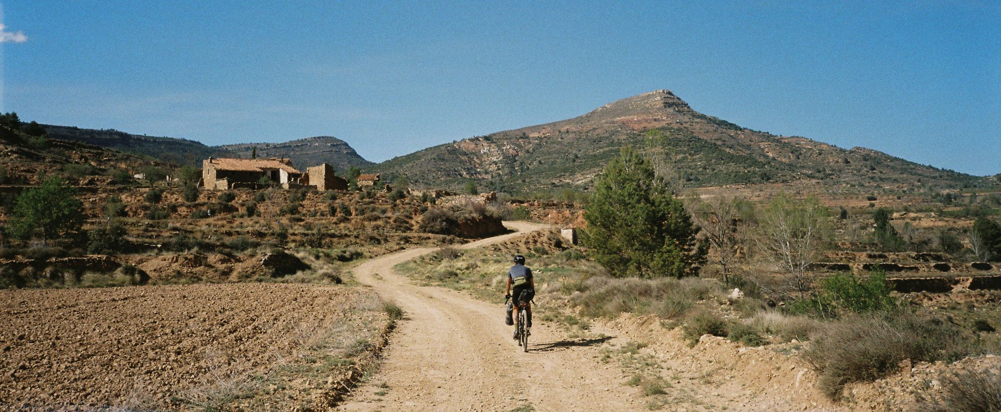
Path of the Tasters - Bikepacking in the Valencian ranges
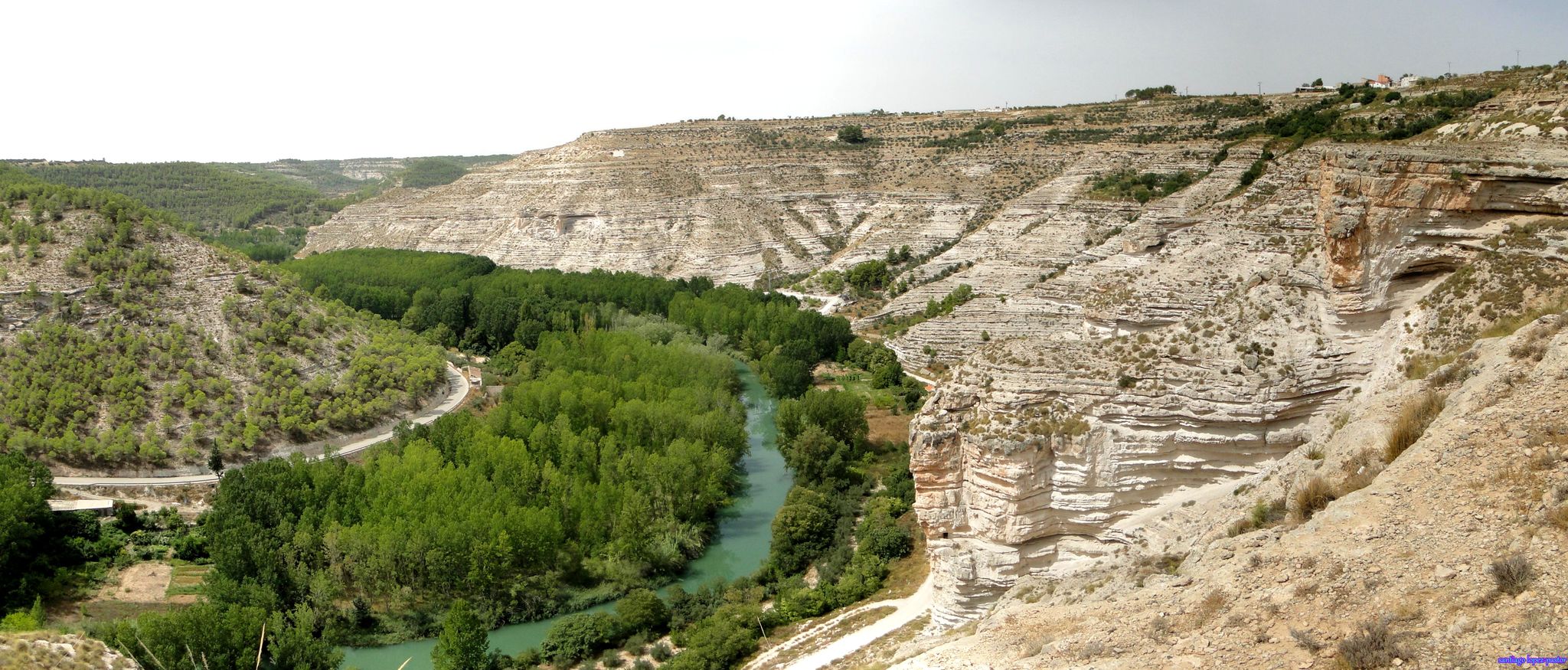
Explore Spain’s Júcar River by bike
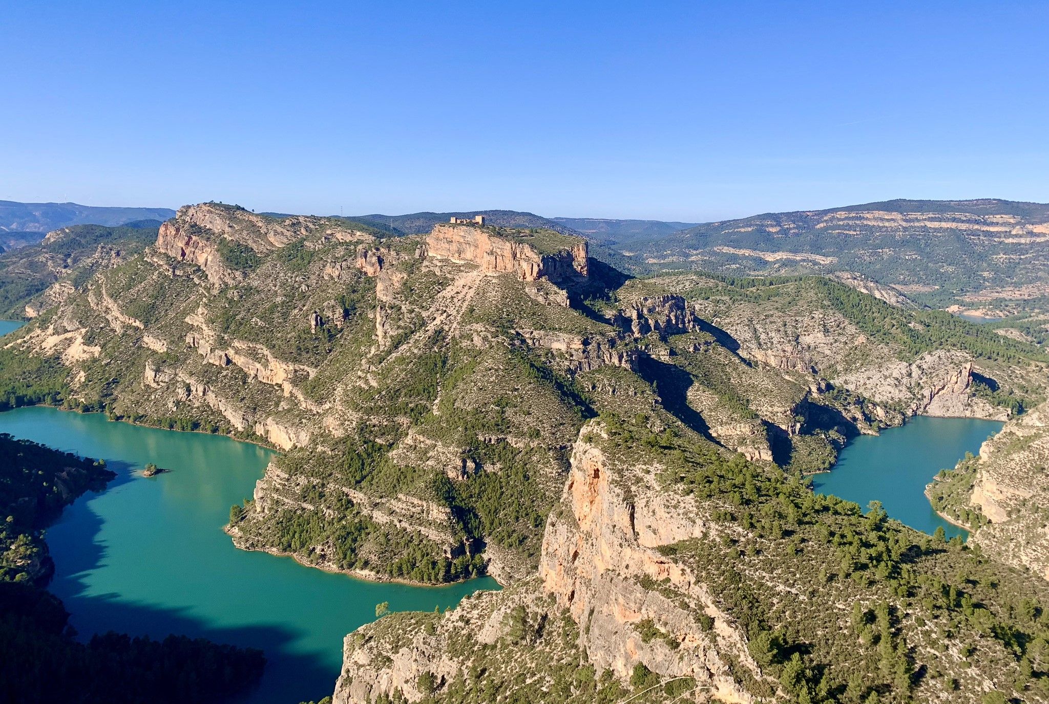
A journey full of discoveries – the Valencia region on foot (GR7)
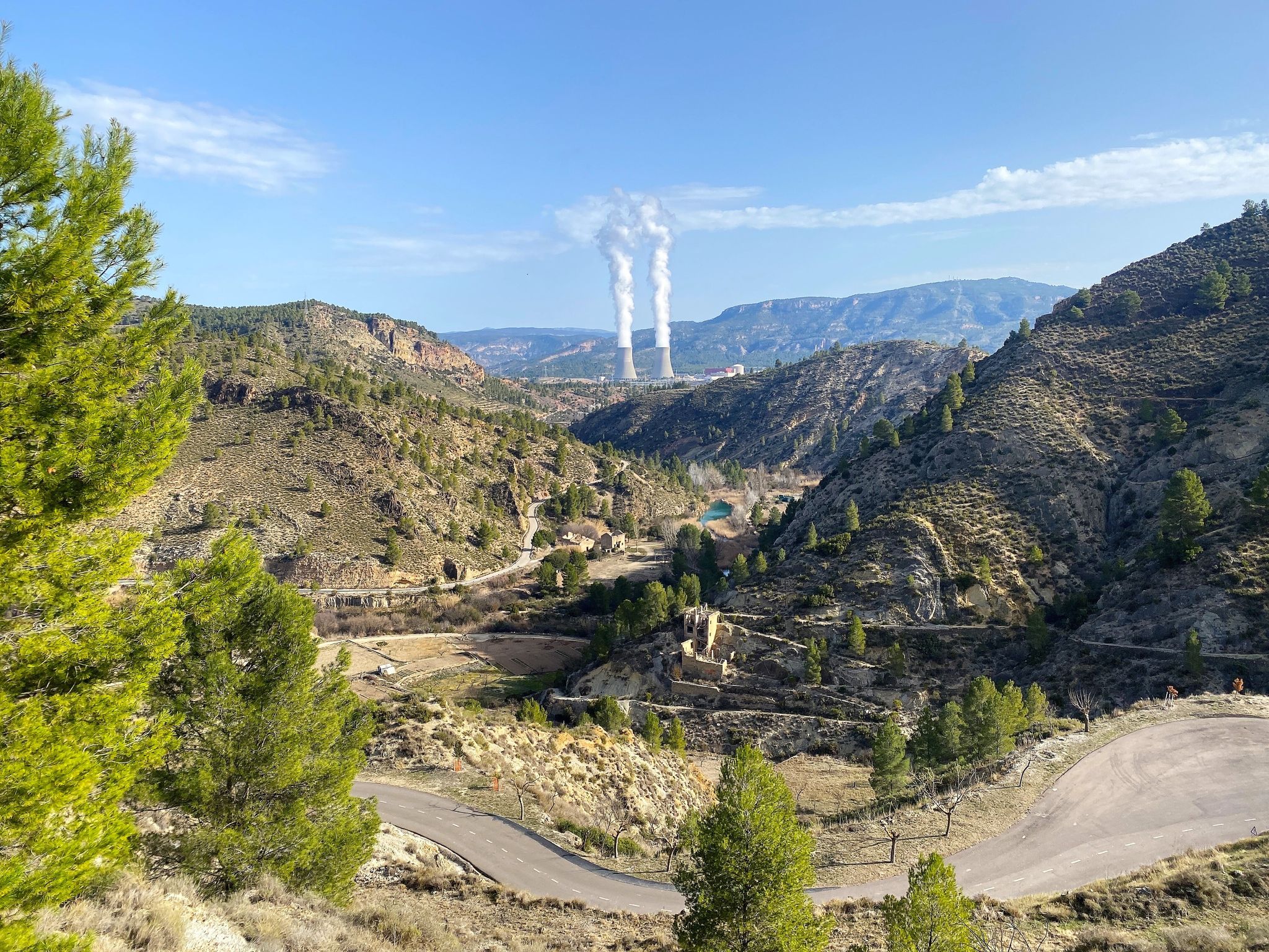
Where water shapes the landscape – Cofrentes and Cortes de Pallás
Road Cycling Routes around La Hoya de Buñol
Hiking around La Hoya de Buñol
MTB Trails around La Hoya de Buñol
Running Trails around La Hoya de Buñol
Cycling around La Hoya de Buñol

Gravel biking around La Hoya de Buñol
Other adventures around La Hoya de Buñol


Tips from the Community

Pass with a fairly constant and accessible slope.
1
0

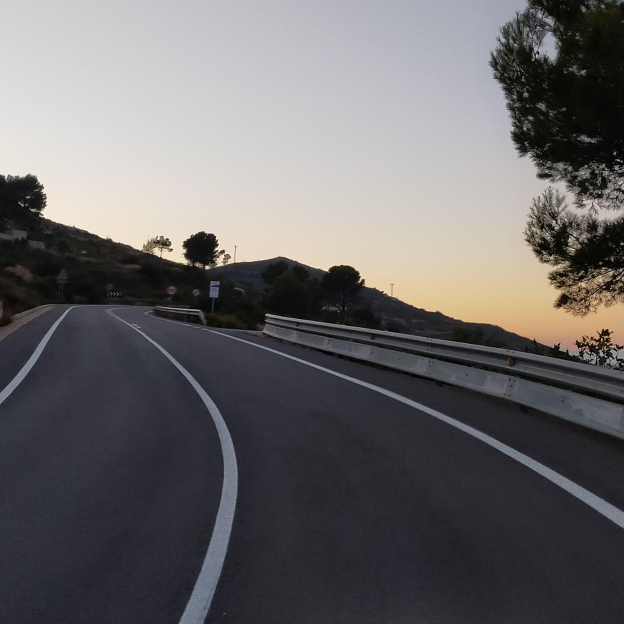
The slope coming from Yatova is 3.1 km with 152 m of positive elevation gain, leaving an average gradient of 5.0% and a maximum of 9.3% (according to the Diputación signs, which provide information at the start, sections every 1 km, and the end). Asphalt in very good condition, mostly quiet road with no traffic.
0
0

At this point on the road from Yátova, there is a sign indicating Puerto de Cardera. If you descend along a track from Puntal de la Nevera, you will reach this pass. Further along the road is Collado de los Tormos, which leads to a path that descends to the Forata reservoir.
1
0
2.75 km with an average gradient of 7.5% and a maximum of 11.4% for a total of 168m of positive gradient. The only "snag" is that to climb the whole route, you have to go past the entrance to Collado Uman. If you want to do both, you have to go over the top of Puerto de la Cruz and turn back a few metres to start the pass.
1
0
The Fuente Real port (adding the section of the Balcòn de Montroy port) is 10km at 4.4%, with a couple of kms in each section above 5% (reaching 7% in some areas) and the rest calmer.
1
0
5.63 km (from the Toris to Llombai highway) at 4.5% average) works well as an aperitif (and initial part) of Puerto de Fuente Real.
1
0

Road section in excellent condition and almost all the time without traffic, which makes it a perfect combination to ride at any time of the year. It is not very demanding and when you reach the pass the views are very pleasant.
1
0
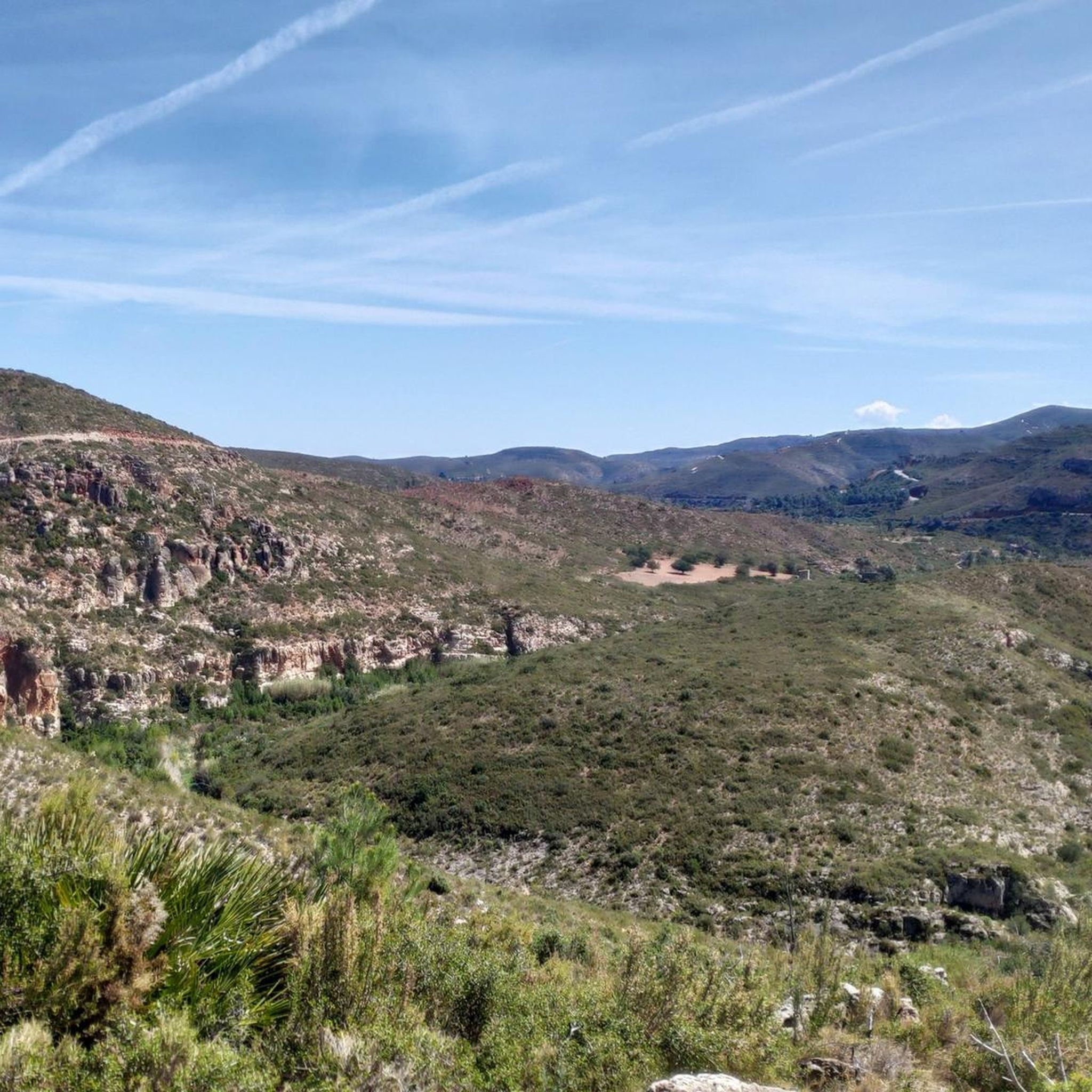
This route is not well known or traveled and that makes it perfect for riding a bike. The route has very nice views of the Muela de Cortes and the Júcar river ravine until it reaches the town of Millares. A beautiful, quiet and picturesque tour through the Valencian mountains!
1
0
Frequently Asked Questions
What are some popular mountain passes for cycling in La Hoya de Buñol?
La Hoya de Buñol offers several popular passes for cyclists. The Fuente Real Pass is a classic Valencian cycling route, known for its rugged Mediterranean scrubland. Another option is the Dos Aguas Pass, which offers an affordable climb and connects to other passes. For panoramic views, the Balcón de Montroy Pass is a great choice, often serving as an initial part of the Fuente Real route.
Are there mountain passes in La Hoya de Buñol suitable for families or beginners?
Yes, the region has options for less demanding routes. Collado Umán is categorized as family-friendly, featuring a road section in excellent condition with minimal traffic. It's described as not very demanding, with low slopes, making it very easy and enjoyable for all skill levels, even in summer due to abundant vegetation.
What kind of natural features can I expect to see around the mountain passes in La Hoya de Buñol?
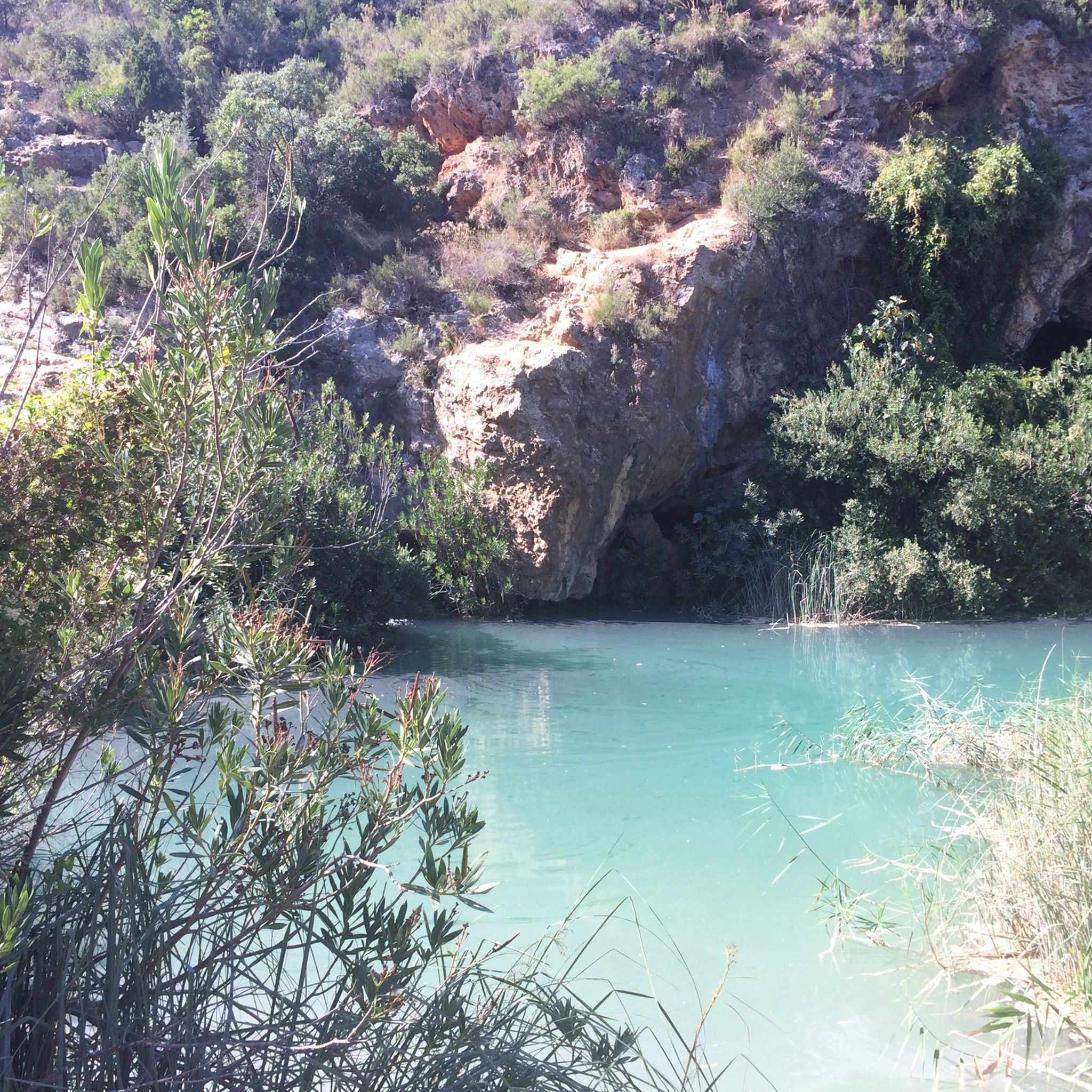
The mountain passes in La Hoya de Buñol are set within a diverse natural landscape. You'll encounter rugged Mediterranean scrubland, valuable forest remnants of oaks, holm oaks, and ash trees, and areas with deep gorges. The region is also characterized by calcareous platforms and offers panoramic views of the surrounding mountains and ravines. Notable natural wonders include the Turche Cave Waterfall and Charco Mañán, which are popular for wild swimming.
Are there challenging mountain passes for experienced hikers or cyclists?
For those seeking a challenge, the Ascent to Paso de La Franca is a notable option. The ascent involves a narrow path carved into the rock, with a chain to assist climbers on the limestone wall. The reward is a spectacular view from the viewpoint at the pass. The Sierra de Malacara also offers rugged terrain and routes like the PR-CV 190, which can include snow in certain seasons.
What outdoor activities can I do near the mountain passes in La Hoya de Buñol?
Beyond exploring the passes themselves, La Hoya de Buñol is a paradise for outdoor enthusiasts. You can find numerous trails for hiking and cycling, ranging from easy to challenging. The region is excellent for gravel biking, with routes like 'Gravel ride to Caroche peak and the Júcar river' and 'Turche Cave Waterfall – Buñol loop'. For hiking, popular options include the 'Buñol Water Route' and 'Corbinet Waterfalls Trail'. You can explore more options in the Gravel biking around La Hoya de Buñol, Hiking around La Hoya de Buñol, and MTB Trails around La Hoya de Buñol guides.
What is the best time of year to visit the mountain passes in La Hoya de Buñol?
The region's mountain passes can be enjoyed throughout the year. For cycling, routes like Collado Umán are pleasant even in summer due to abundant vegetation. However, some higher areas in the Sierra de Malacara can experience snow during certain times of the year, offering a different experience. Spring and autumn generally provide mild temperatures ideal for both hiking and cycling.
Are there any historical or cultural points of interest near the mountain passes?
Yes, the natural routes in La Hoya de Buñol sometimes intertwine with historical elements. The Sierra de Malacara, for instance, historically served as a border between the kingdoms of Castile and Valencia. You might encounter old stone structures, traditional villages, and remnants of past cultures, adding a historical layer to your outdoor experience.
What are the highest points or notable peaks in the mountain ranges of La Hoya de Buñol?
Within the region, the Sierra de Malacara features the Pico de la Nevera, reaching 1,118 meters above sea level, with several other peaks exceeding 1,000 meters. The Sierra Martés has its highest point at 1,085 meters above sea level. These elevated areas offer spectacular panoramic views.
Can I find protected natural areas or unique flora and fauna around the passes?
Absolutely. The Sierra Martés is a protected area, designated as a Site of Community Interest (LIC) and hosts various micro-reserves of flora. The Sierra de Malacara preserves valuable forest remnants and is known for its raptor population, including the golden eagle and short-toed snake eagle. The nearby Chera-Sot de Chera Natural and Geological Park also boasts rich biodiversity, including pine forests, poplars, junipers, oaks, and wildlife like royal eagles and wild boars.
What do visitors enjoy most about the mountain passes in La Hoya de Buñol?
Visitors particularly appreciate the diverse landscapes, from rugged scrubland to lush forests, and the panoramic views offered by many of the passes. The excellent condition of many road sections, often with minimal traffic, makes them ideal for cycling. The opportunity to combine outdoor activity with natural wonders like waterfalls and natural pools, as well as the historical context of the region, also adds to the appeal.
Are there specific hiking trails near the mountain passes that offer natural attractions?
Yes, the region is rich in hiking opportunities that lead to natural attractions. For example, the 'Buñol Water Route' and the 'Mañán Pool – Turche Cave Waterfall loop from Buñol' are popular trails that allow you to experience the area's waterfalls and natural pools. The Chera-Sot de Chera Natural and Geological Park, bordering the region, also offers numerous trails leading to beautiful spots like the Buseo reservoir and the Sot river.
Is it possible to find quiet routes with less traffic around the mountain passes?
Many routes in La Hoya de Buñol offer a peaceful experience. For instance, the road section around Collado Umán is noted for being in excellent condition and almost entirely without traffic, making it perfect for a tranquil ride or walk. The region's extensive network of trails and less-traveled roads often provides opportunities for solitude amidst nature.
Most popular routes around La Hoya de Buñol
Most popular attractions around La Hoya de Buñol

Get inspired with the komoot mobile app


Didn’t find what you were looking for?
Find even more amazing mountain passes around La Hoya de Buñol organized by region:
Explore more
See even more epic mountain passes by checking out these guides around La Hoya de Buñol:
