Top 10 Natural Monuments around Lamanère
Best natural monuments around Lamanère are found in a village nestled in the Pyrénées-Orientales, characterized by its mountainous terrain and dense forests. The area offers diverse natural features, including extensive woodlands of chestnut and beech trees. High mountain passes and peaks provide expansive views of the Pyrenees and the Canigou massif. Lamanère's unique geographical position as the southernmost point of mainland France adds to its distinct natural appeal.
Best natural monuments around Lamanère
- The most popular natural monuments is Riera…
Last updated: July 6, 2026
Puig de Bassegoda
Highlight • Summit
Translated by Google •
Tip by

Fountain of the Boots
Highlight • Natural Monument
Translated by Google •
Tip by

Sign up now to discover places like this
Get recommendations on the best single tracks, peaks, & plenty of other exciting outdoor places.
Sign up for free
Views of the Pyrenees
Highlight • Viewpoint
Translated by Google •
Tip by

Riera de Sant Aniol Waterfalls
Highlight (Segment) • Waterfall
Translated by Google •
Tip by
Salt de la Núvia
Highlight • Viewpoint
Translated by Google •
Tip by

Sign up for free to discover even more natural monuments around Lamanère.
Sign up for free
Already have an account?
Start today with a free account
Your next adventure awaits.
Login or Signup

Tips from the Community

This section accompanies the Sant Aniol stream for a large part of its route. The forest guides you through its course and shows you various waterfalls and crystalline pools. If you go in summer, do not hesitate to take a dip in these wonderful waters.
2
3
At 1,373 meters high, the Puig de Bassegoda is located on the border between the regions of La Garrotxa and Alt Empordà. The climb accumulates a lot of positive unevenness in a short distance. For this reason, in the last section it has staples and chains to help itself.
2
1

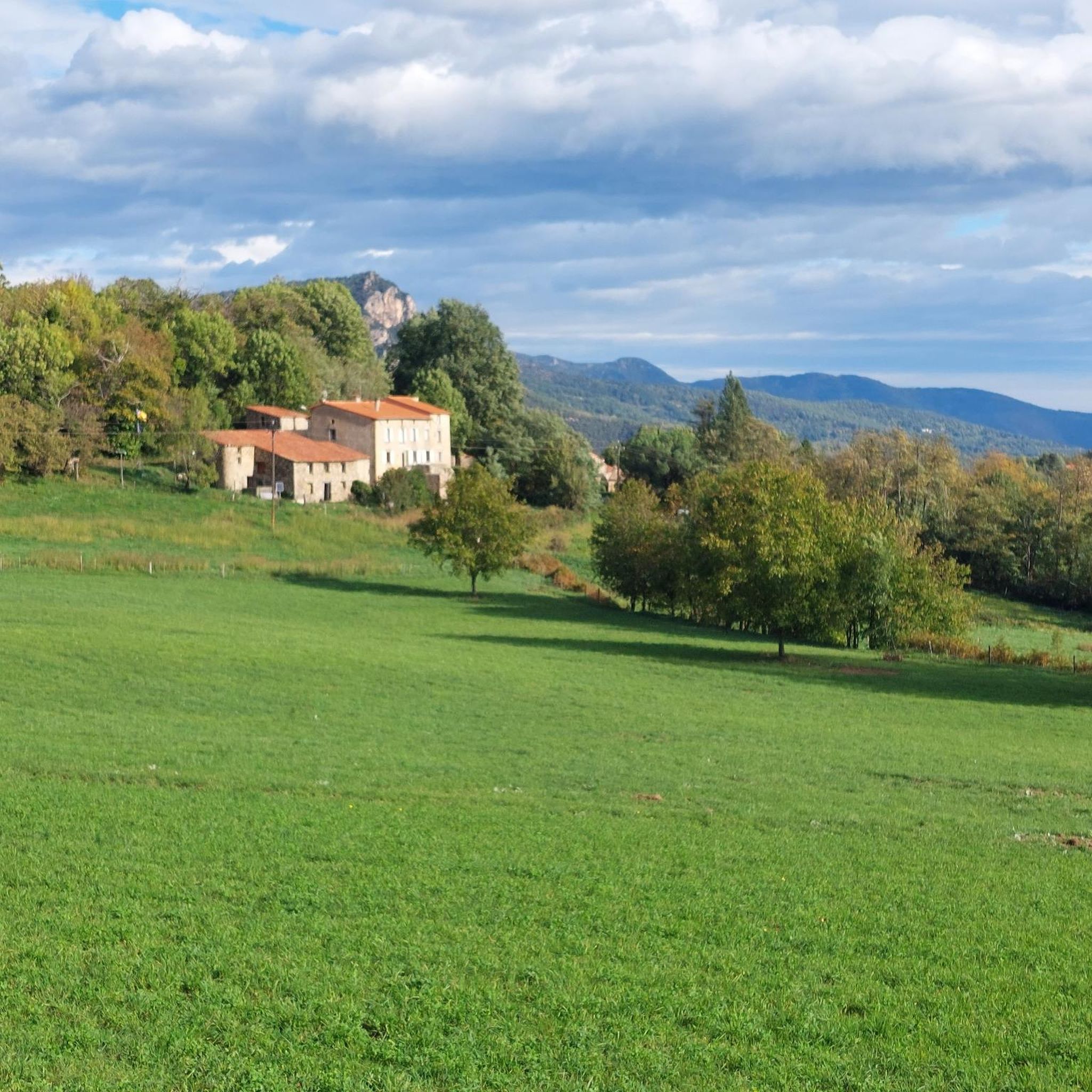
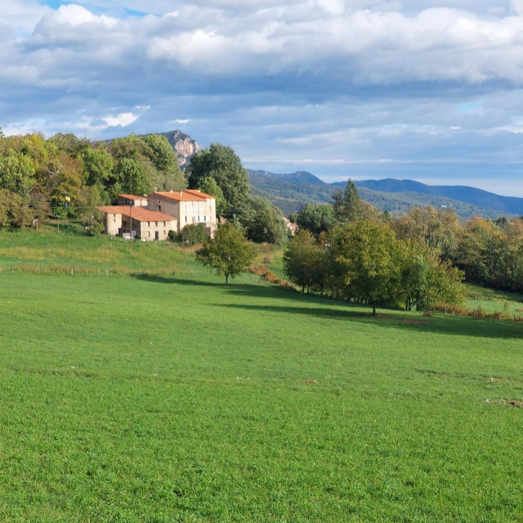
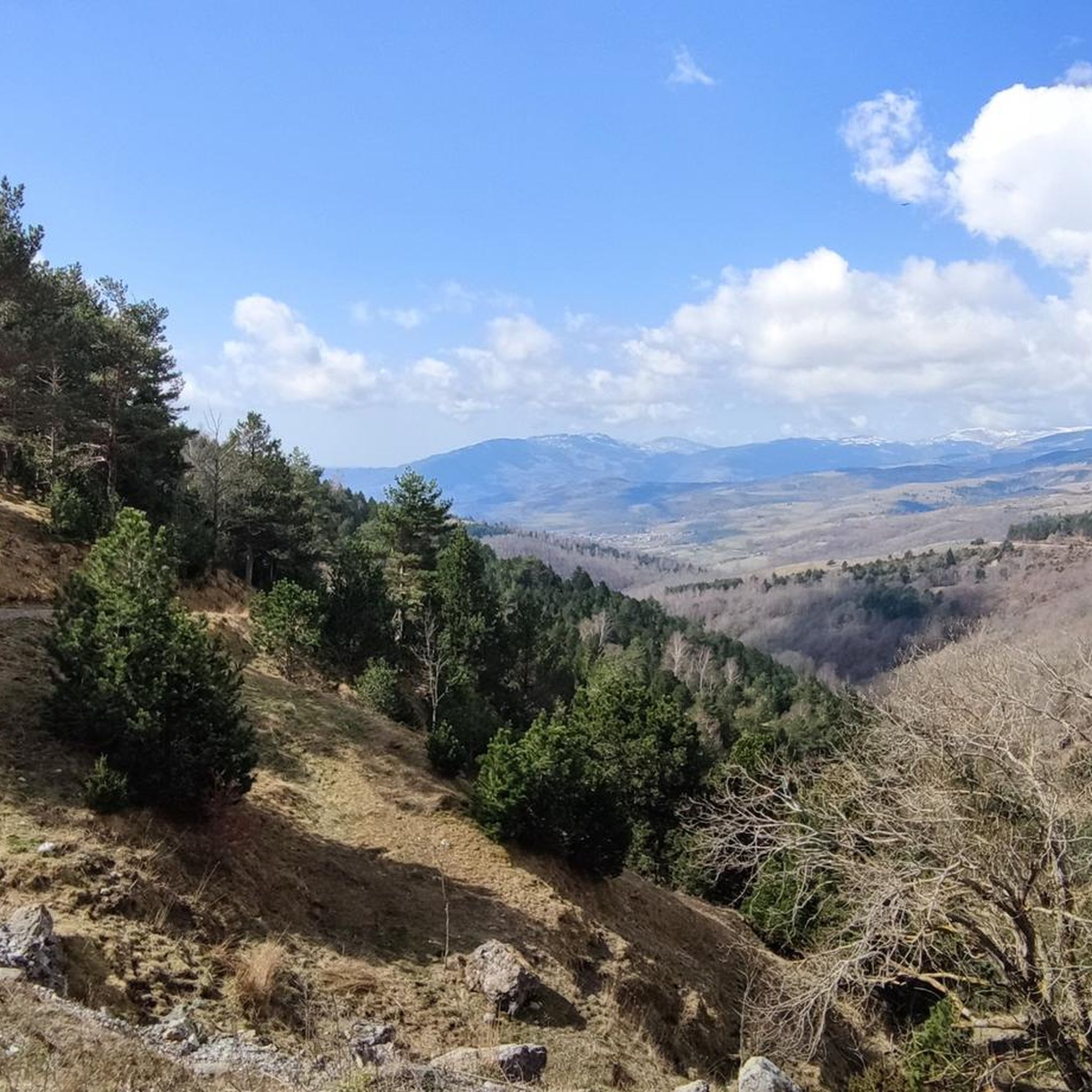
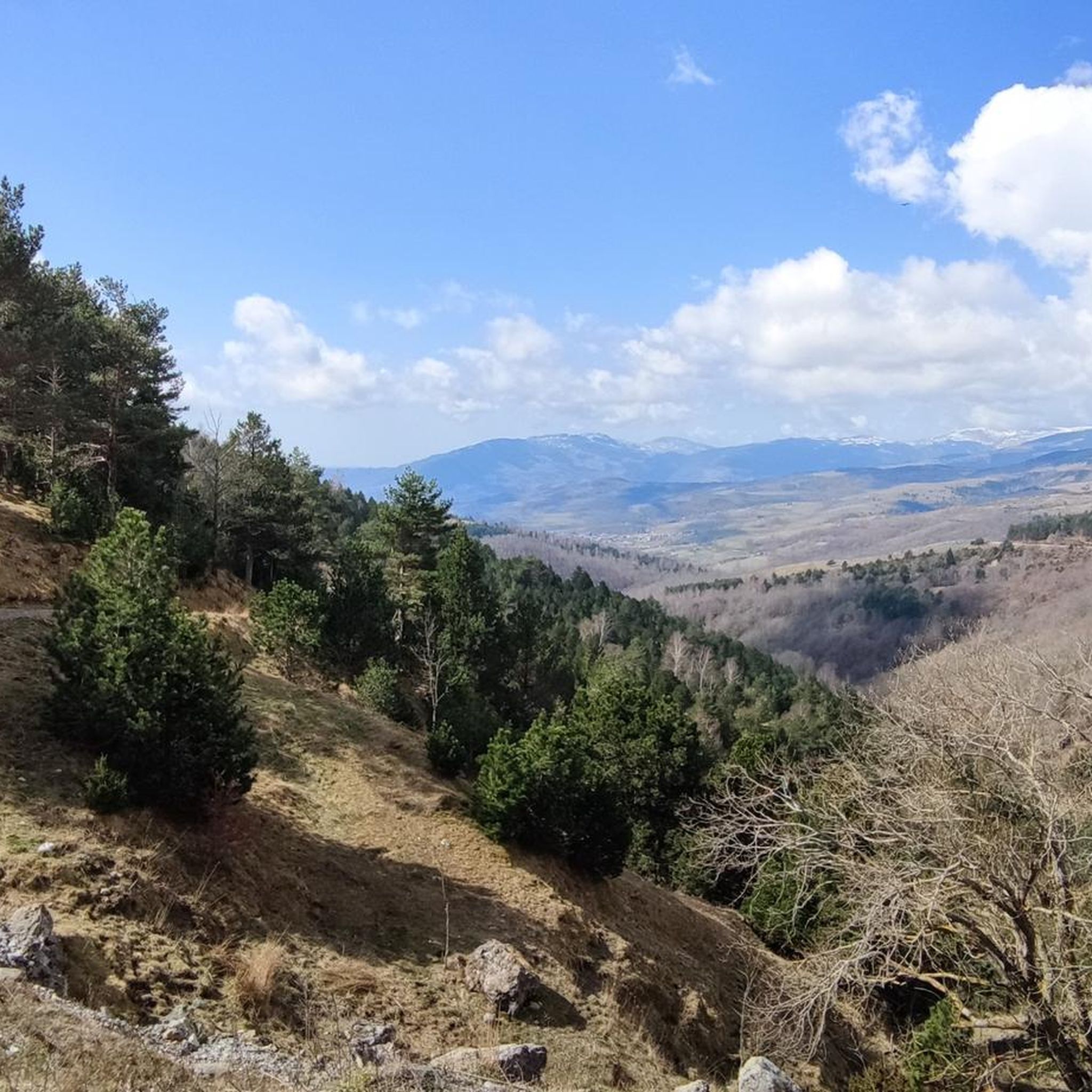
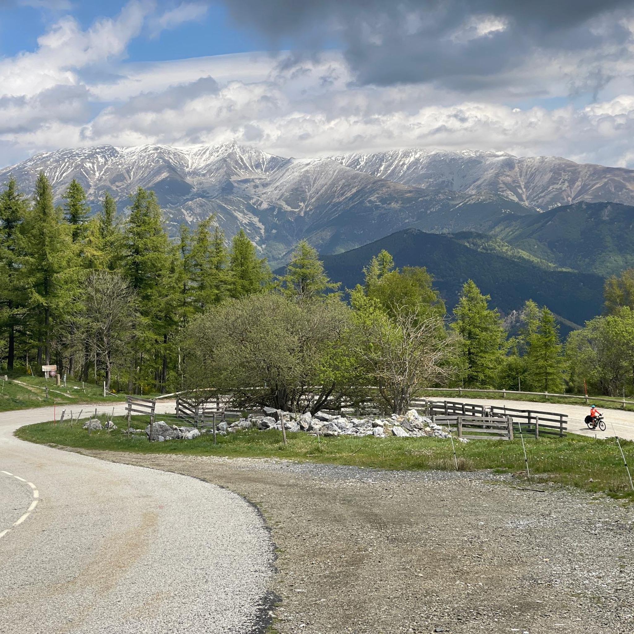
The last section of the Camino Oliba (GR 151) is a magnificent mountain track that goes from Molló to the border with France. Both along the path and at the end point, next to the Puig Sec pools, the views of the Pyrenees are simply spectacular. The green slopes of the mountains contrast with the snow-capped peaks and, in the spring and summer months, with the wildflowers that decorate the meadows.
1
0

In the Font del Botàs you can replenish fresh drinking water. The fountain receives this name because it had a system of gates that diverted part of the water to a tank used in many farmhouses to control and distribute the water used to irrigate the fields.
2
0

Excellent viewpoint of the entire valley that the Sant Aniol river sculpts. The pass is a bit aerial although there are some chains that help to overcome it.
1
1

Its characteristic pointed shape, its height and the fact that it is isolated from other nearby peaks make it easily identifiable. At the foot of the Bassegoda hill on its north-eastern slope, the Borró river, a tributary of the Fluvià, is born. It is actually two peaks separated by a gap. The western one (1363m) is called Taula d'en Gustí and the eastern one (1373m), Taula d'en Sala and is what is properly considered the summit. It seems that the toponym Bassegoda comes from two Basque words: basa, which means 'wilderness, desert', and goiti, which means 'summit, height'; thus Basagoiti would mean 'barren peak', referring to being an absolutely rocky lookout but with excellent 360º views from the Gulf of Roses to Canigó.
2
2

Not only a very nice fountain but also a great way to drink a clear and cool drink of water or to replenish the supplies.
2
0
Frequently Asked Questions
What kind of natural features can I expect to see around Lamanère?
The Lamanère area is rich in diverse natural features. You'll find extensive forests, predominantly of chestnut and beech trees, providing serene settings for walks. The landscape is also characterized by high mountain passes and peaks offering breathtaking panoramic views, as well as rivers and streams like the Taix and Sant Aniol, which feature waterfalls and crystalline pools.
Are there any natural monuments offering panoramic views around Lamanère?
Yes, several natural monuments and locations provide spectacular views. The Puig de Bassegoda offers excellent 360º views from the Gulf of Roses to Canigó. The Views of the Pyrenees viewpoint along the Camino Oliba provides spectacular vistas of green slopes contrasting with snow-capped peaks. Additionally, the Salt de la Núvia offers an excellent viewpoint of the Sant Aniol river valley. Beyond these, locations like Col de Malrens, Col de les Moles, and Coma Negra also boast expansive panoramas of the Pyrenees.
Are there easy or family-friendly natural monuments to visit near Lamanère?
For a family-friendly option, the Fountain of the Boots is a pleasant spot to visit, offering fresh drinking water. The hike to the Sainte Christine Chapel, which provides panoramic views of the Baga de Bordellat and the Canigou massif, is also considered family-friendly and enjoyable year-round.
What are some challenging natural monuments for experienced hikers in the area?
Experienced hikers seeking a challenge can ascend the Puig de Bassegoda, a summit at 1,373 meters with a demanding climb that includes staples and chains in its final section. Another challenging option is the Salt de la Núvia, which involves an aerial pass with chains to reach its excellent viewpoint over the Sant Aniol river valley.
Can I find opportunities for wild swimming near Lamanère's natural monuments?
Yes, the Riera de Sant Aniol Waterfalls are an excellent spot for wild swimming. This area features various waterfalls and crystalline pools along the Sant Aniol stream, and visitors are encouraged to take a dip in the wonderful waters, especially during summer.
What outdoor activities are available near the natural monuments in Lamanère?
Lamanère is an excellent starting point for various outdoor activities. You can find numerous hiking trails, ranging from easy family strolls to strenuous mountain treks. For example, the 'CHAPELLE STE CHRISTINE – Water tap in Lamanère loop' is an easy hike. More challenging options include the 'Comanegra Summit – Puig de les Bruixes loop'. You can explore more hiking routes in the Hiking around Lamanère guide. There are also dedicated guides for Running Trails around Lamanère and MTB Trails around Lamanère.
What is the best time to visit the natural monuments around Lamanère?
The natural monuments around Lamanère can be enjoyed year-round. Spring and summer offer lush green landscapes, wildflowers, and pleasant temperatures for hiking and swimming in places like the Riera de Sant Aniol. Autumn brings beautiful fall foliage to the chestnut and beech forests. Winter can offer stunning views of snow-capped peaks, especially from higher viewpoints, though some trails might be more challenging due to snow or ice.
Are there any natural monuments with historical or cultural significance nearby?
While the natural monuments themselves are geological features, many trails leading to or passing by them integrate with the region's rich heritage. For instance, the extensive forests around Lamanère are home to cultural sites like the Hermitage of Notre Dame du Coral. The family-friendly hike to the 13th-century Sainte Christine Chapel also combines natural beauty with historical interest.
What makes the Lamanère area geographically unique?
Lamanère holds a unique geographical distinction as the southernmost village in mainland France. This is particularly highlighted by the totem at Coma Negra (1550m), which marks the southernmost point of mainland France and offers an exceptional panoramic view of the entire Pyrenees mountain range.
Can I find fresh drinking water at any of the natural monuments?
Yes, the Fountain of the Boots (Font del Botàs) is a great spot to replenish fresh drinking water. It's known for its clear, cool water and historically served local farmhouses for irrigation.
What do visitors enjoy most about the natural monuments in Lamanère?
Visitors particularly appreciate the stunning scenery and exceptional hiking opportunities. The diverse landscapes, from dense forests to high mountain passes and panoramic viewpoints, offer abundant opportunities for nature photography and immersion in unspoiled natural beauty. The tranquility of places like the forest trails and the unique geographical significance of the region also contribute to a memorable experience.
Most popular routes around Lamanère
Most popular attractions around Lamanère

Get inspired with the komoot mobile app


Explore more
Extend your search for the best caves by checking out these guides of the top ones around Lamanère:
