Top 5 Mountain Passes around Noyers-Sur-Jabron
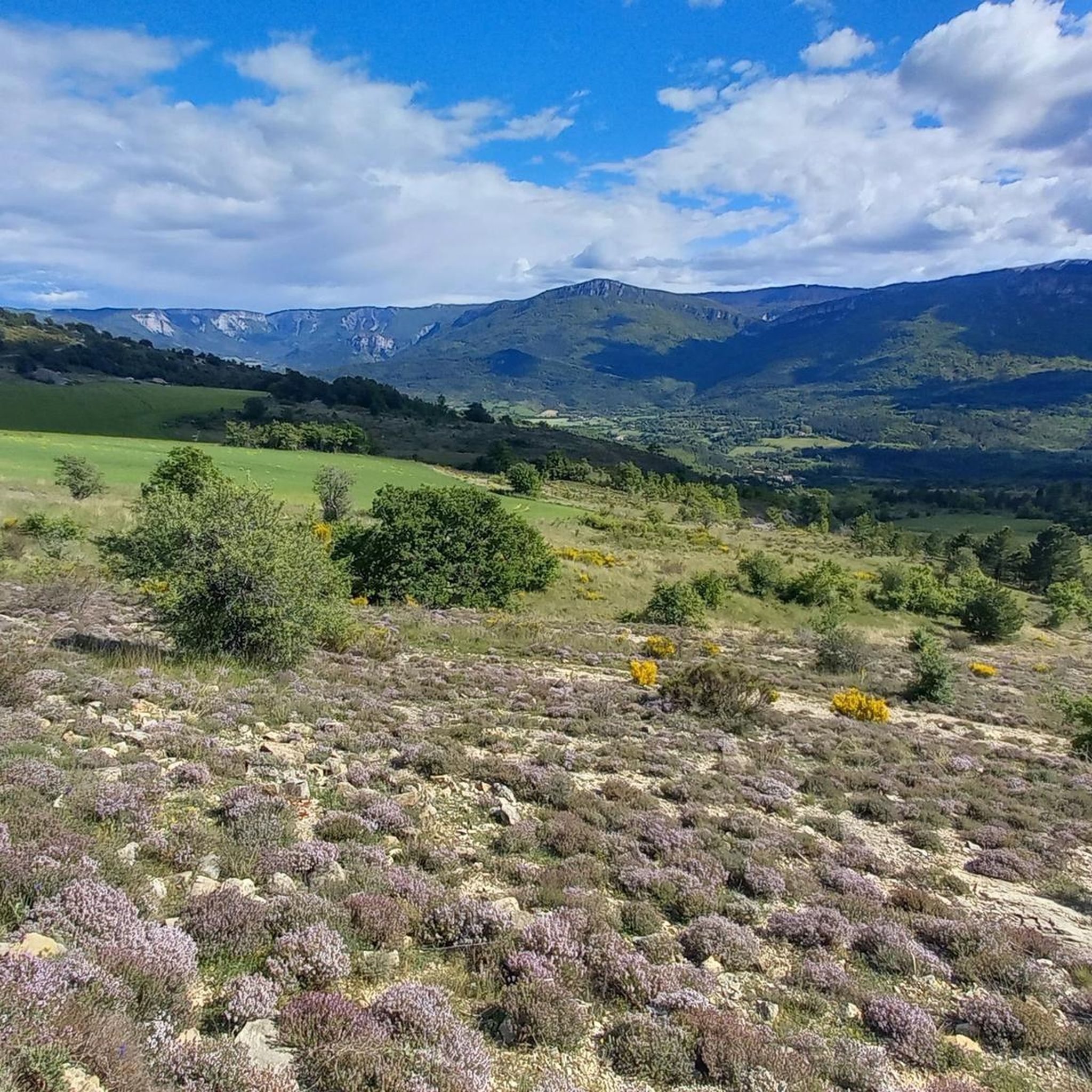
Mountain passes around Noyers-Sur-Jabron are situated in the Alpes-de-Haute-Provence region of southeastern France, offering access to various cols and elevated points. This mountainous landscape provides opportunities for hiking and cycling, with routes leading to panoramic views. The area is characterized by its preserved natural environment and diverse terrain, including the Montagne de Lure and the Jabron valley. These natural features define the local trails and routes for outdoor exploration.
Best mountain passes around Noyers-Sur-Jabron
- The most popular mountain passes is…
Last updated: July 5, 2026
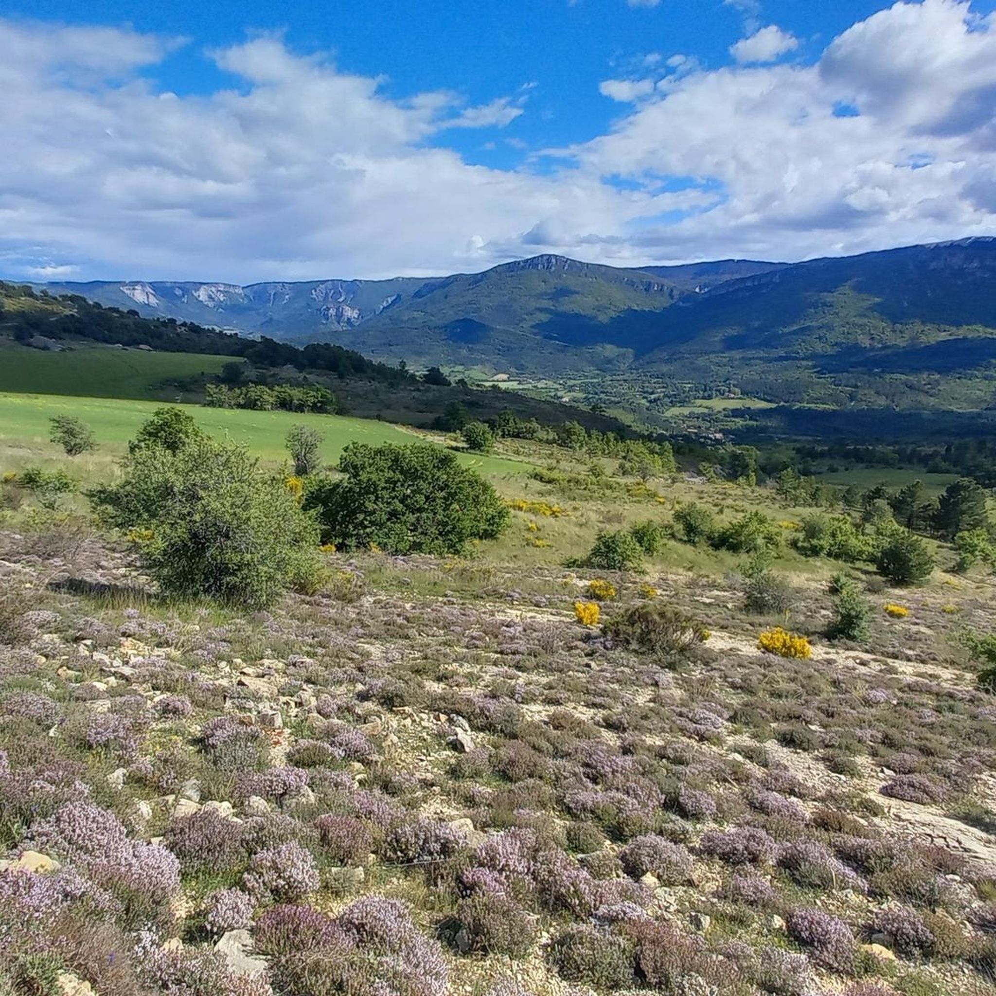
Montagne de Lure Pass
Highlight • Mountain Pass
Translated by Google •
Tip by

Ascent of Montagne de Lure from Saint-Étienne-les-Orgues
Highlight (Segment) • Climb
Translated by Google •
Tip by

Sign up now to discover places like this
Get recommendations on the best single tracks, peaks, & plenty of other exciting outdoor places.
Sign up for free
View from the Pas de la Graille
Highlight • Viewpoint
Translated by Google •
Tip by

Col Saint-Pierre
Highlight • Mountain Pass
Translated by Google •
Tip by

Start today with a free account
Your next adventure awaits.
Login or Signup

Tips from the Community

The Lure Mountains are a beautiful climb in the Vaucluse mountains. The climb is steady, covering 17.7 kilometers at an average gradient of 6%, all set against a stunning backdrop. The perfect blend of effort and contemplation.
2
0

The Ventoux's little brother. With a length of 17.7 kilometres and an ascent of 1054 vertical metres and a gradient of 5.9% on average, which implies a difficulty level of 688. The summit of the climb is located at 1746 metres above sea level. At the top the views are fabulous both towards Ventoux itself and towards the Alps. A long, very pleasant and fun climb that is worth the effort with percentages that remain around 5/6/7% and some peaks of up to 9.3%. The last 2 kilometres are very easy.
2
0

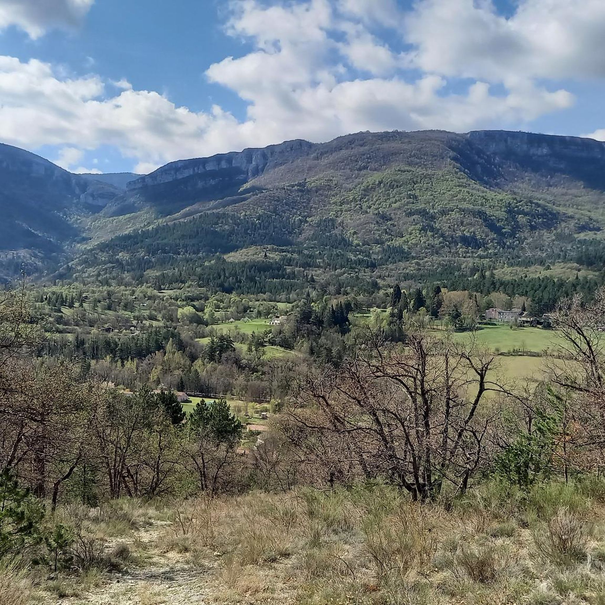
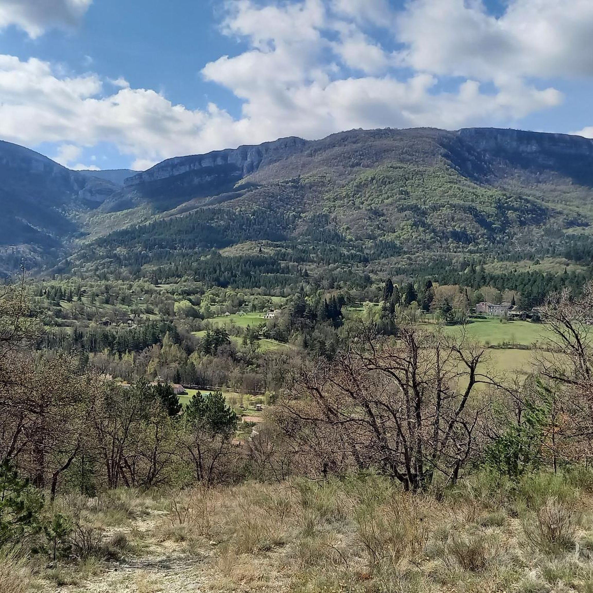
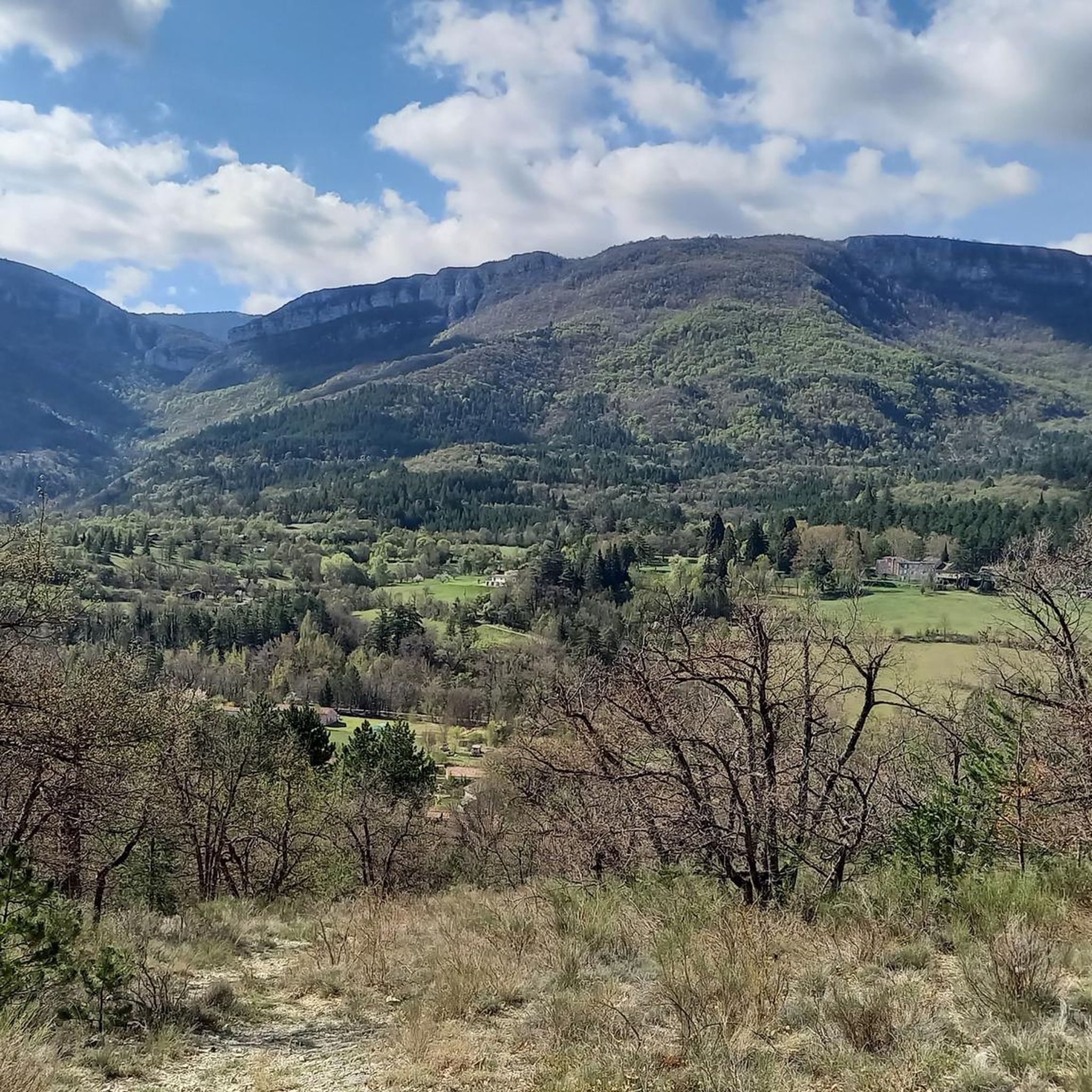
Located at an altitude of 1,290 meters, the Col Saint-Pierre forms the junction between the hamlet of Damias and Saint-Vincent-sur-Jabron. The track to get there does not have any technical part.
4
1

The Montagne de Lure is a large mountain in the Vaucluse in the Alpes-de-Haute-Provence department of France. It belongs to the same geological formation as the Albion plateau and Mont Ventoux. This chain extends over 42 kilometers and culminates in the Lure signal at 1,825 m and presents a very contrasting relief.
2
1
The Graille pass is probably the most famous pass in the Alps without even knowing it. So that? Because it is the obligatory step to reach the mountain of Lure. It is one of the first steps of the southern Alps. It is often compared to Mount Ventoux for its easily climbed, bald summit. Also well known to shepherds, the Pas de la Graille has been a path of transhumance since prehistoric times. The D53 connects Saint-Etienne-les-Orgues with Valbelle.
0
0

Mandatory climb in this region! Fantastic and calm
2
1

View of the Baronnies massif.
4
1
One of the 2 giants of Provence. Just as beautiful as Ventoux without the horde of cars going up there. The climb is nevertheless much less difficult than the Ventoux.
5
1
Frequently Asked Questions
What are some of the most scenic mountain passes around Noyers-sur-Jabron?
The region offers several passes with breathtaking views. The Montagne de Lure Pass provides expansive views of the Baronnies massif. For wide vistas over surrounding mountains and villages, the View from the Pas de la Graille at 1597 m is highly recommended. Additionally, Col Saint-Pierre, at 1,290 meters, offers magnificent views from its crest.
Are there challenging climbs for cyclists in the area?
Yes, the mountain passes around Noyers-sur-Jabron are known for challenging climbs. The ascent to the Pas de la Graille, for instance, is a significant point for cyclists, often compared to Mont Ventoux due to its bare summit and sustained gradients. The Montagne de Lure Pass is also considered one of the significant climbs in Provence.
What kind of outdoor activities can I do near these mountain passes?
Beyond exploring the passes themselves, the area is excellent for various outdoor activities. You can find numerous road cycling routes, running trails, and general cycling tours. For example, there are challenging road cycling routes like the "Méouge Gorge Route – Sisteron Citadel loop" and diverse running trails, including loops around the Montagne de Lure. Explore more options on the Road Cycling Routes around Noyers-Sur-Jabron, Running Trails around Noyers-Sur-Jabron, and Cycling around Noyers-Sur-Jabron guide pages.
Are there any historically significant passes in the region?
Yes, some passes hold historical significance. The Pas des Portes, a narrow passage between the Pélegrine and Sumiou mountains, is considered a historically important route. The Pas de la Graille also served as a transhumance path for shepherds since prehistoric times, adding a rich historical layer to its natural beauty.
What is the best time of year to visit the mountain passes?
The region is particularly appreciated for its preserved nature and breathtaking scenery, making spring, summer, and early autumn ideal for exploration. During these seasons, the weather is generally favorable for hiking, cycling, and enjoying the panoramic views without the challenges of winter conditions.
Are there any easy or beginner-friendly mountain pass routes?
While some passes offer challenging climbs, there are also routes suitable for beginners. For instance, the track leading to Col Saint-Pierre does not present technical difficulties, making it accessible for those new to mountain pass exploration. Always check the specific route details for difficulty ratings before heading out.
What natural features can I expect to see when exploring these passes?
The passes are nestled within a diverse mountainous landscape. You'll encounter the Montagne de Lure, Montagne de Pélegrine, Montagne de Sumiou, and Montagne de l'Ubac. Expect preserved natural environments, rugged terrain, and panoramic viewpoints across the Jabron valley and towards other prominent massifs of southeastern France.
Can I find circular hiking routes that include these passes?
Yes, many passes are integrated into longer hiking and trail running circuits. For example, the Col de Couais, near Saint-Martin, is part of several circuits from Noyers-sur-Jabron, offering varying distances and elevation gains. These routes often extend along ridges, providing continuous picturesque views.
What do visitors enjoy most about the mountain passes around Noyers-sur-Jabron?
Visitors frequently praise the stunning views and the sense of accomplishment from the climbs. The Montagne de Lure Pass is often highlighted for its beauty and being less crowded than other famous climbs. The wide, expansive views from points like the View from the Pas de la Graille are also a major draw, offering a wonderful perspective of the surrounding landscape.
Is there parking available near the trailheads for these mountain passes?
While specific parking information for every trailhead isn't detailed, the region is generally accessible for outdoor activities. Many hiking and cycling routes, particularly those starting from villages or popular access points, typically have designated parking areas. It's advisable to check local maps or route descriptions for specific parking locations before your visit.
Are there any passes that offer a unique or 'hidden gem' experience?
The Pas des Portes, described as a "passage étroit dans la montagne" (narrow passage in the mountain) forming a defile, offers a unique pedestrian route. Its rugged nature and connection to hiking trails leading to panoramic views from the Pellegrine ridge provide a more intimate and adventurous experience away from more frequented spots.
What is the significance of the Col de la Pigière?
The Col de la Pigière, while not directly within Noyers-sur-Jabron, is an important connection point. Located at the crossroads of the Alpes de Haute Provence and Drôme departments, at the top of the Jabron valley and at the foot of the Col du Négron, it's relevant for those exploring the broader mountainous region and connecting different areas.
Most popular routes around Noyers-Sur-Jabron
Most popular attractions around Noyers-Sur-Jabron

Get inspired with the komoot mobile app


Explore more
See even more epic mountain passes by checking out these guides around Noyers-Sur-Jabron:
