The 6 Most Amazing Peaks around Besenbüren
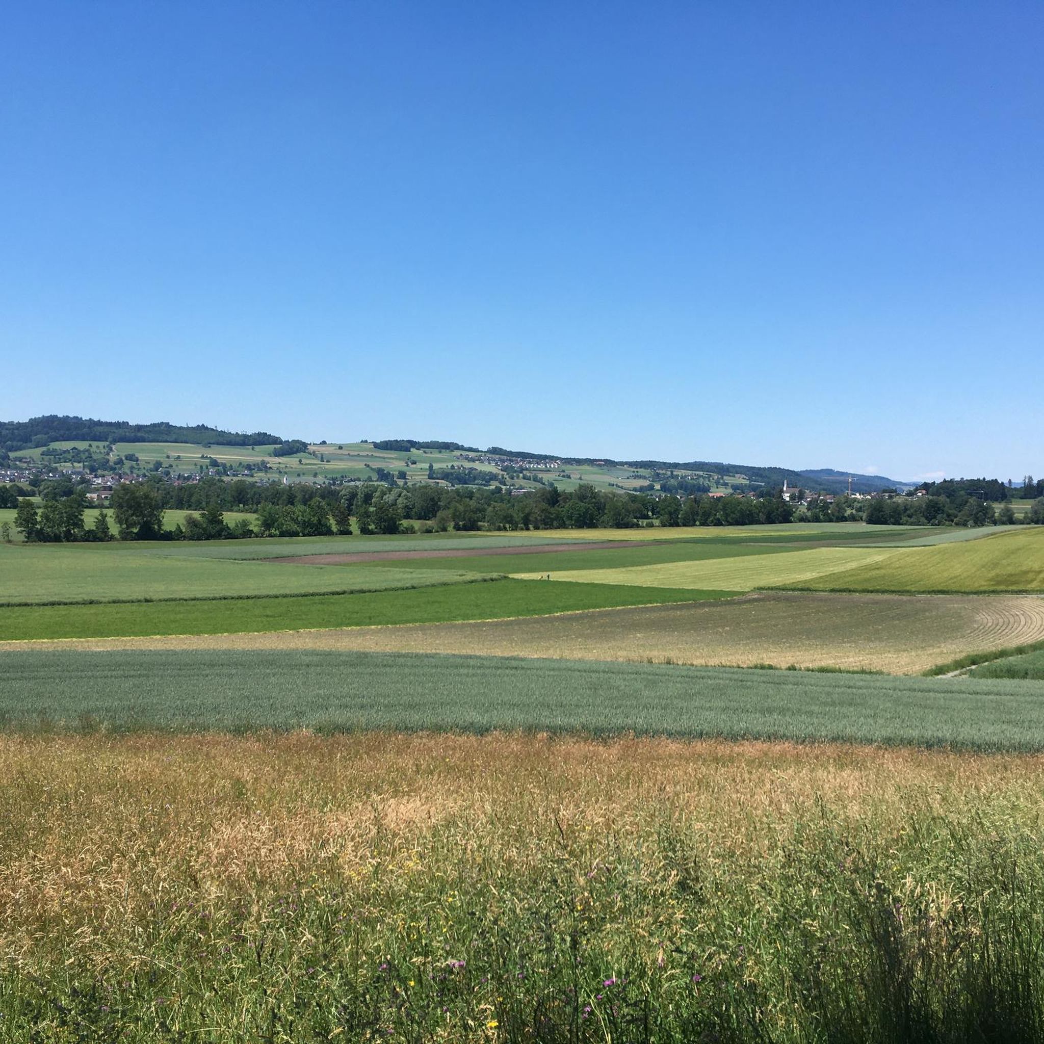
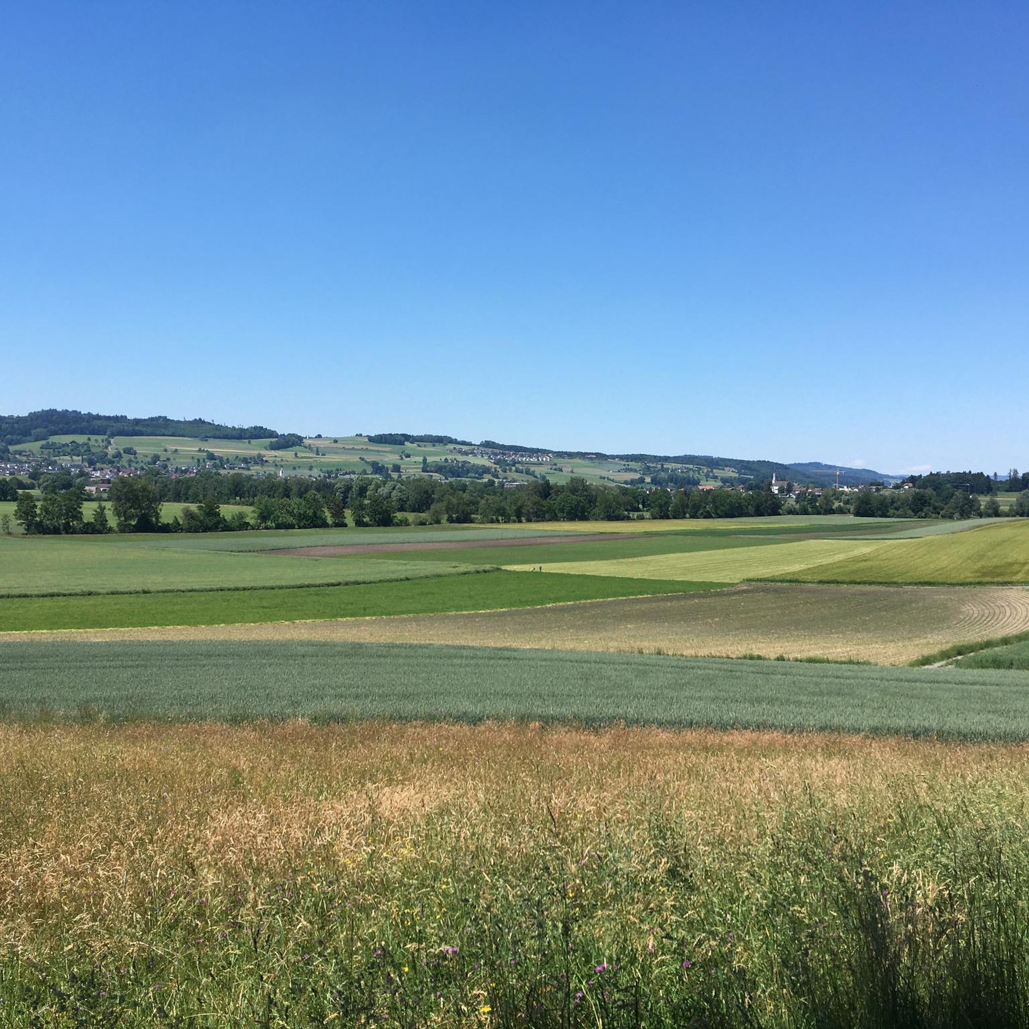
Mountain peaks around Besenbüren are characterized by gently undulating to largely flat terrain, with elevations ranging from approximately 436 meters to 498 meters above sea level within the municipality. While not featuring towering summits, the area offers numerous high points and forested hills. This region provides a tranquil rural environment, ideal for accessible hiking and walking trails through agricultural lands and woodlands. Visitors can explore these natural features and enjoy the serene Swiss countryside.
Best mountain peaks around Besenbüren
- The…
Last updated: July 8, 2026
Highest point of the Lindenberg (878 m)
Highlight • Summit
Translated by Google •
Tip by

Seerose Hotel & Restaurant
Highlight • Restaurant
Translated by Google •
Tip by

Sign up now to discover places like this
Get recommendations on the best single tracks, peaks, & plenty of other exciting outdoor places.
Sign up for free
Stiefeliryter Inn and Open-Air Museum, Hämikerberg
Highlight • Restaurant
Translated by Google •
Tip by

Highest point of Dottikon Dreihägen (549 m above sea level)
Highlight (Segment) • Summit
Translated by Google •
Tip by

Highest point in the Lenzburg district (712 m above sea level)
Highlight (Segment) • Summit
Translated by Google •
Tip by

Sign up for free to discover even more peaks around Besenbüren.
Sign up for free
Already have an account?
Start today with a free account
Your next adventure awaits.
Login or Signup
Tips from the Community

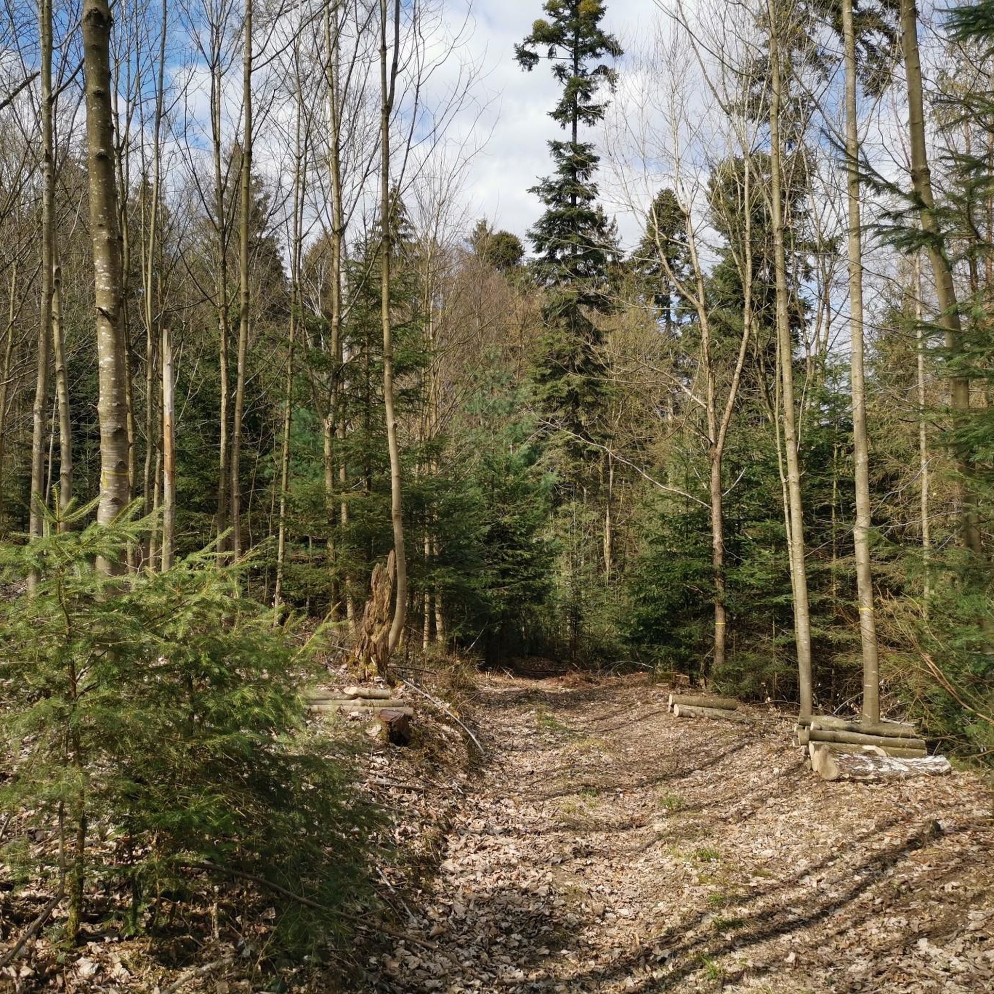
Currently not very easy to reach by bike as the area has been recently cut down
1
0
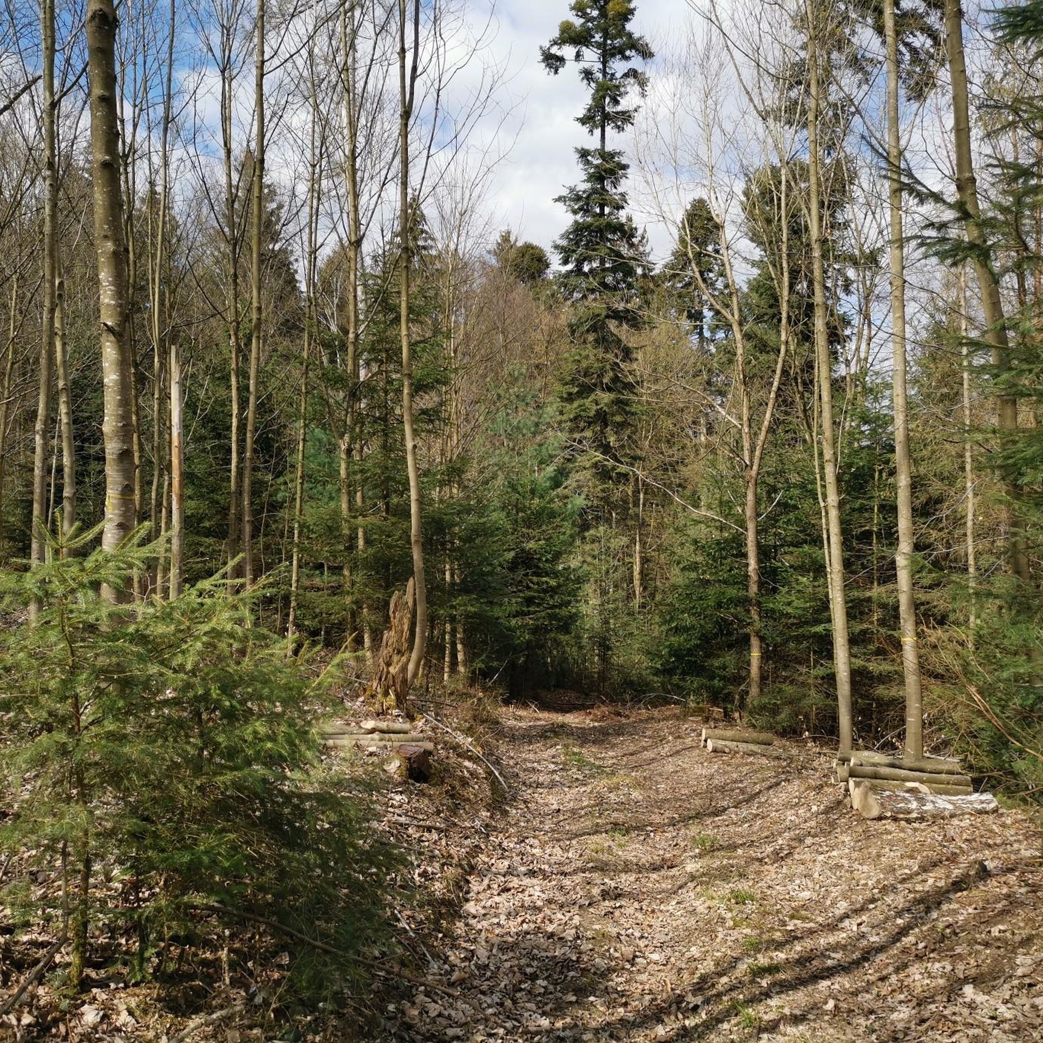
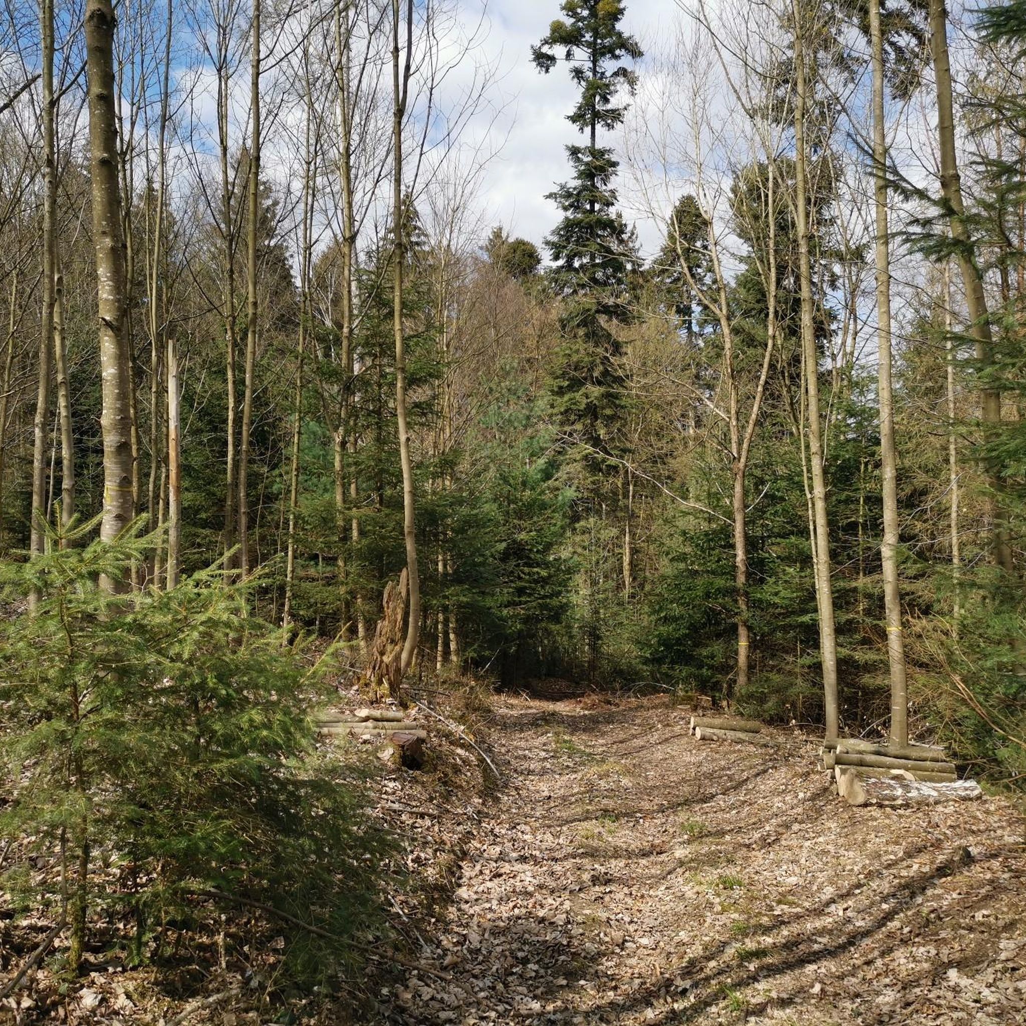
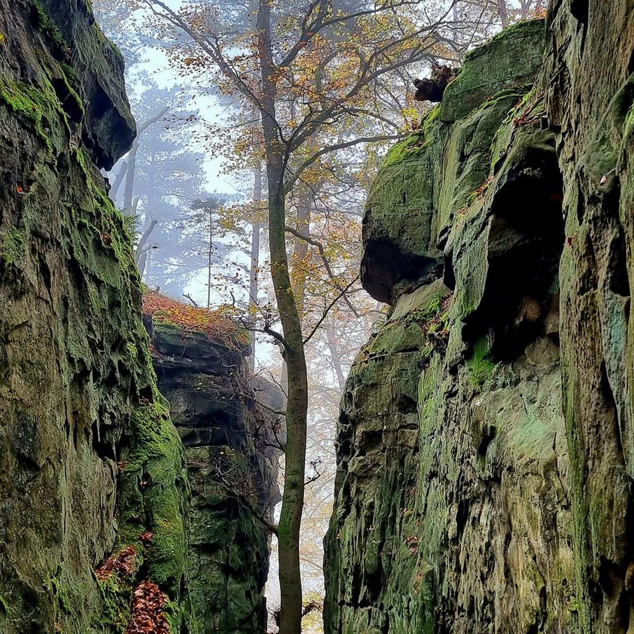
Hidden inconspicuously in the forest lies the highest point in the Lenzburg district.
1
0
Inconspicuous and without view, easily accessible on simple forest paths
1
0

Lindeberg Trail, the easy access, it was worth the effort.
1
0
Dreihägen has, figuratively speaking, changed a lot, more transparent and brighter, many trees have been cut down
0
0
Top of Lindenberg is a must for an AG biker to climb at least once a year
2
0
Very, very narrow, flat path-like trail
1
0

The ideal starting and ending point for circumnavigating the lake. Large parking lot available, including a swimming pool if you feel like it.
1
0
Frequently Asked Questions
What kind of mountain peaks can I expect around Besenbüren?
The region around Besenbüren is characterized by gently undulating to largely flat terrain, with elevations ranging from approximately 436 to 498 meters above sea level within the municipality. You'll find forested hills and accessible high points rather than towering alpine summits, offering a tranquil rural environment for exploration.
Are there any notable high points or summits to visit in the Besenbüren area?
Yes, several notable high points are popular among visitors. These include the Highest Point of Lindenberg (681 m), known for easy bike and bicycle tours, and the Highest point in the Lenzburg district (712 m above sea level), which is hidden inconspicuously in the forest. Another popular spot is the Highest point of Dottikon Dreihägen (549 m above sea level), featuring a trail with strong roots and lush vegetation.
What are the best outdoor activities to do near the peaks around Besenbüren?
The area is excellent for various outdoor activities, particularly cycling and mountain biking. You can find numerous routes for MTB Trails around Besenbüren, Cycling around Besenbüren, and Gravel biking around Besenbüren. These guides offer routes ranging from easy to difficult, passing through fields, forests, and offering scenic views.
Are there family-friendly hiking options around Besenbüren?
Yes, the gentle terrain and accessible trails make the Besenbüren region suitable for family-friendly hikes and walks. Many routes pass through pleasant rural landscapes and forests, offering an enjoyable experience for all ages. The Highest Point of Lindenberg (681 m) is particularly noted for its easy accessibility.
What is the best time of year to visit Besenbüren for outdoor activities?
Besenbüren offers pleasant outdoor experiences throughout much of the year. Spring and autumn provide comfortable temperatures and beautiful scenery with blooming flora or vibrant fall colors. Summer is also suitable for hiking and cycling, while winter can offer tranquil walks, though some trails might be wet or muddy after rain due to the region's many springs.
What natural features can I expect to see while exploring the high points?
You will encounter diverse natural features, including extensive forested areas, agricultural lands, and scenic viewpoints. The trails often lead through lush vegetation and offer glimpses of the serene Swiss countryside. Some highlights, like the Highest point in the Lenzburg district (712 m above sea level), are nestled deep within the forest.
Are there any historical or cultural sites near the mountain peaks in Besenbüren?
While the focus is on natural high points, the region does have cultural points of interest. For example, the Stiefeliryter Inn and Open-Air Museum, Hämikerberg, offers a unique blend of history and hospitality, originally conceived as a restaurant for horse riders and now featuring an open-air museum.
What do visitors enjoy most about the high points around Besenbüren?
Visitors frequently appreciate the tranquil rural environment, the accessibility of the trails, and the opportunity for easy bike and bicycle tours. The Highest Point of Lindenberg (681 m) is often highlighted as a 'paradise' for bikers, and the overall experience of exploring the gentle hills and forested areas is highly valued by the komoot community.
How accessible are the trails and high points by public transport or car?
The region is generally well-suited for exploration. While specific parking and public transport details for each trail vary, Besenbüren's location in Switzerland means that many areas are accessible. For detailed planning, it's recommended to check specific route information on komoot, which often includes starting points and transport options.
Can I find amenities like cafes or restaurants near the trails?
Yes, there are amenities available in the broader region. For instance, the Seerose Hotel & Restaurant offers a beautiful setting directly on the lake, perfect for relaxing after an activity. The Stiefeliryter Inn and Open-Air Museum, Hämikerberg also provides dining options in a unique historical setting.
Are there any challenging trails for experienced hikers or bikers?
While many trails are easy to moderate, some offer more technical sections. For example, the trail to the Highest point of Dottikon Dreihägen (549 m above sea level) is described as having strong roots and rough vegetation, providing good technical sections for skill improvement, especially for bikers. You can also find more challenging routes in the MTB Trails around Besenbüren and Gravel biking around Besenbüren guides.
Most popular routes around Besenbüren
Most popular attractions around Besenbüren

Get inspired with the komoot mobile app


Explore more
See even more amazing summits around Besenbüren with these guides:
