Top 6 Natural Monuments around Embreville
Best natural monuments around Embreville include dramatic coastal formations and unique geological features. The region is characterized by its towering white chalk cliffs, which meet the English Channel, offering distinct coastal panoramas. These formations are part of a larger chalk province, providing a unique landscape where the plain of the Bay of Somme extends to the north. Visitors can explore these natural landmarks through various routes, experiencing the area's serene environment.
Best natural monuments around Embreville
- The most popular natural…
Last updated: July 5, 2026
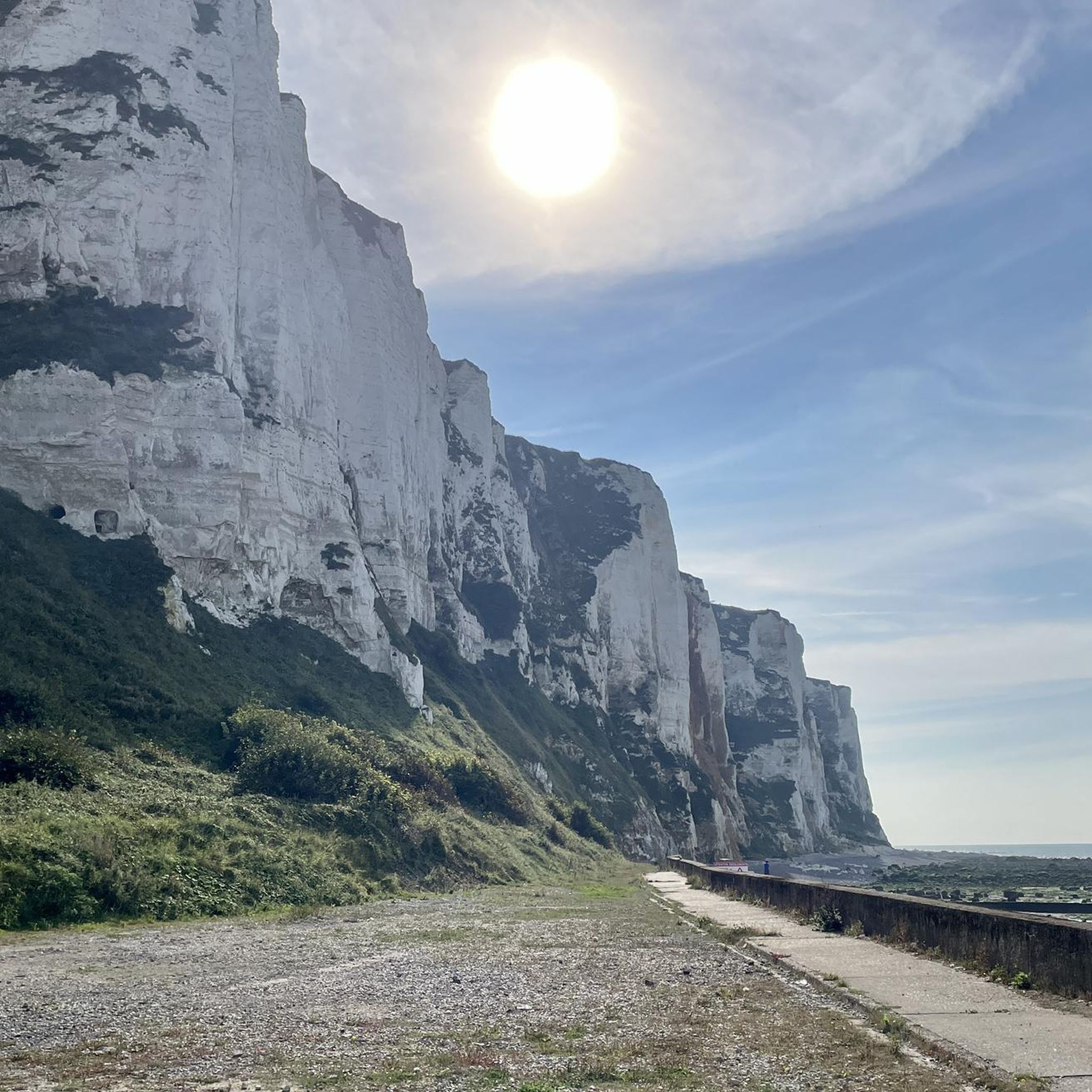
Ault Chalk Cliffs
Highlight • Natural Monument
Translated by Google •
Tip by

Cliffs of Ault
Highlight • Natural Monument
Even if the city has lost its splendor, the site is impressive, because to the north, the plain of …
Translated by Google •
Tip by

Sign up now to discover places like this
Get recommendations on the best single tracks, peaks, & plenty of other exciting outdoor places.
Sign up for free
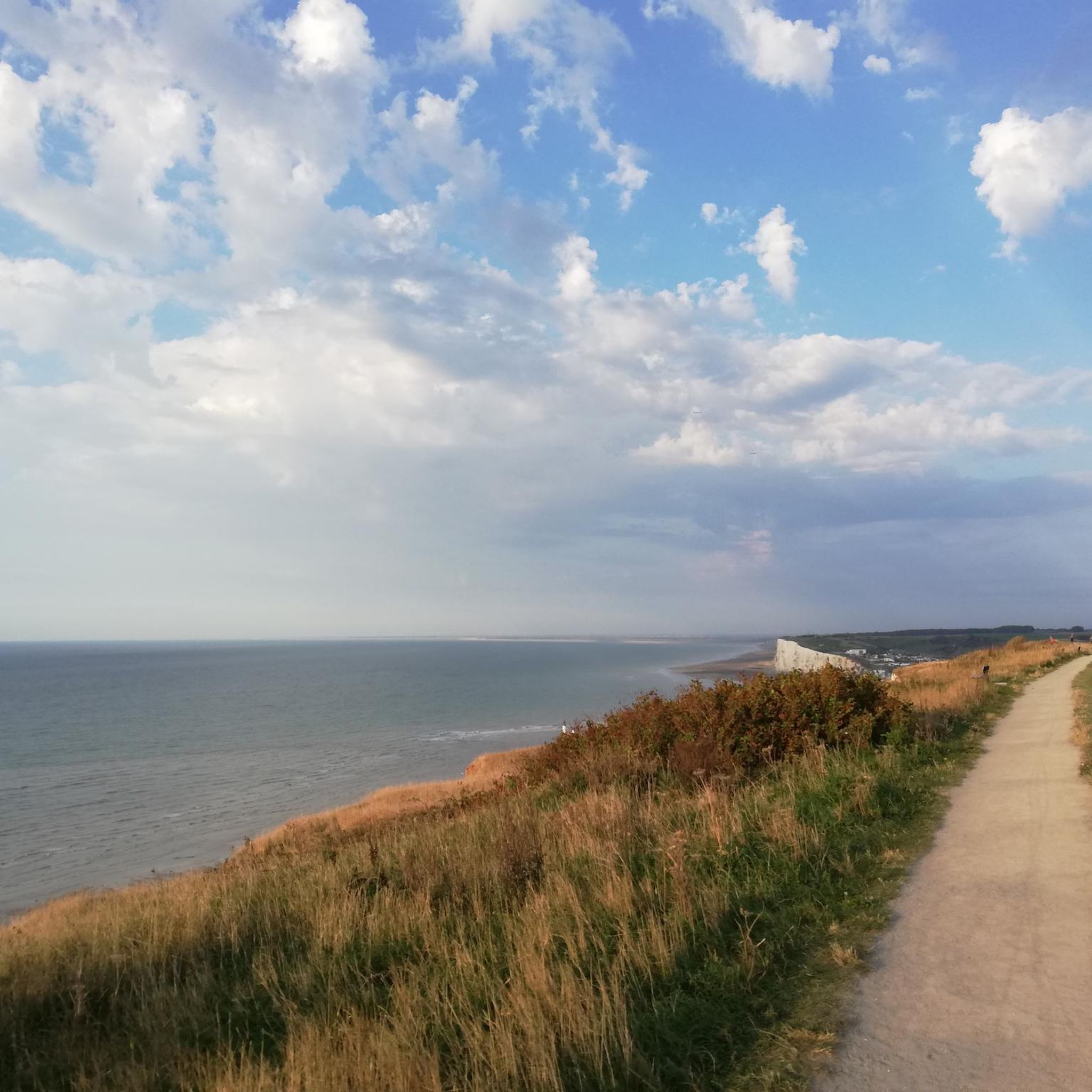
View of Onival Beach and the Ault Cliffs
Highlight • Viewpoint
Translated by Google •
Tip by

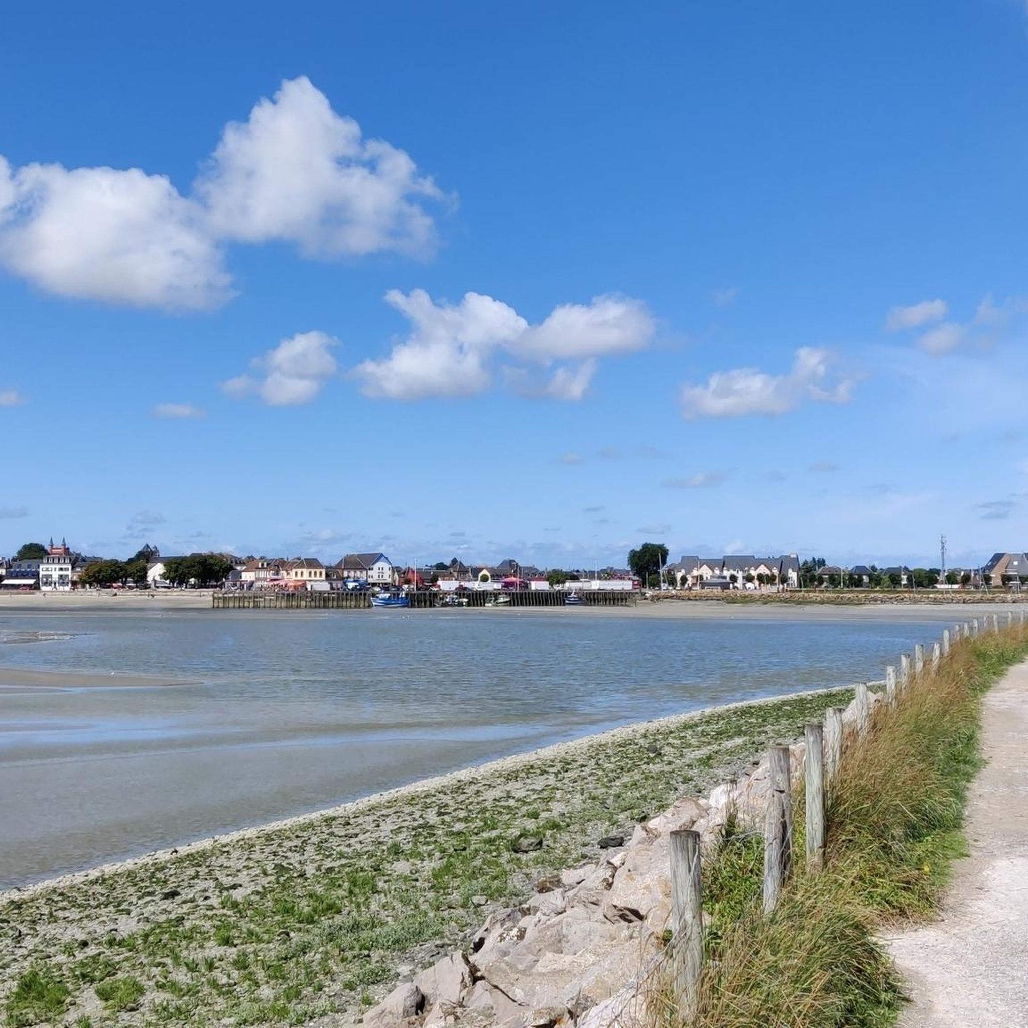
Étang Épinoy
Highlight • Lake
Translated by Google •
Tip by

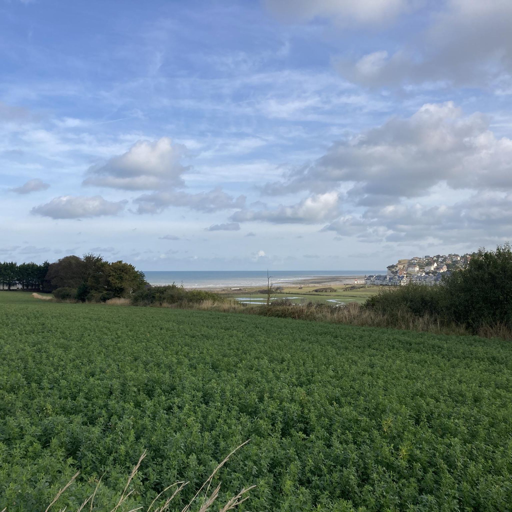
White Chalk Cliffs of Bois de Cise
Highlight • Natural Monument
Translated by Google •
Tip by

Sign up for free to discover even more natural monuments around Embreville.
Sign up for free
Already have an account?
Start today with a free account
Your next adventure awaits.
Login or Signup


Tips from the Community

The cliffs are made of chalk and are impressive to look at.
3
0
Here in Ault begin the chalk cliffs, which stretch all the way to Normandy and repeatedly appear as enormous cliffs.
4
0

The cliffs around the beach of Ault are composed of chalk from the Upper Cretaceous, more precisely from the Turonian and Coniacian (around 83 million years ago to 90 million years ago). They are strewn with flint nodules which highlight the subhorizontal stratification planes (the formation of flint has already been discussed in Discovery of the geology of the cliffs of Étretat, presentation of an excursion from the beach of Tilleul (Antifer) to the Porte d'Amont (Étretat Nord)). The relative proportion of chalk and flint is around 90-95% chalk to 5-10% flint. Flint horizons are stratigraphic markers. On the cliffs of Ault, the regular flint band called Seven Sisters is recognizable and characterizes the boundary between the Middle Coniacian and the Upper Coniacian (around 87 million years ago). The boundary between the lower and middle Coniacian is marked by the Shoreham 2 marl level, which is more difficult to identify. These lithostratigraphic markings allow in particular the correlation of distant deposits, such as between the Normandy and Picardy coasts, or between the French and English coasts.
3
0
The cliffs around the beach of Ault are composed of chalk from the Upper Cretaceous, more precisely from the Turonian and Coniacian (around 83 million years ago to 90 million years ago). They are strewn with flint nodules which highlight the subhorizontal stratification planes (the formation of flint has already been discussed in Discovery of the geology of the cliffs of Étretat, presentation of an excursion from the beach of Tilleul (Antifer) to the Porte d'Amont (Étretat Nord)). The relative proportion of chalk and flint is around 90-95% chalk to 5-10% flint. Flint horizons are stratigraphic markers. On the cliffs of Ault, the regular flint band called Seven Sisters is recognizable and characterizes the boundary between the Middle Coniacian and the Upper Coniacian (around 87 million years ago). The boundary between the lower and middle Coniacian is marked by the Shoreham 2 marl level, which is more difficult to identify. These lithostratigraphic markings allow in particular the correlation of distant deposits, such as between the Normandy and Picardy coasts, or between the French and English coasts.
2
0

Great swimming and surfing beach. Small town with lots going on.
1
0

Ault is a beautiful place. Beautifully laid out paths above and below the impressive cliffs. The town center is perfect for relaxing. There are a few cafes and bistros for when you get a little hungry. There are benches everywhere where you can sit and enjoy a few minutes of peace and the wonderful views.
1
0

Great panorama, but also depressing how fleeting everything is.
0
0

Very beautiful here, breathtaking rocks
2
0
Frequently Asked Questions
What are the main natural features to explore around Embreville?
The region around Embreville is primarily known for its dramatic coastal formations, especially the towering white chalk cliffs that meet the English Channel. These include the Ault Chalk Cliffs and the Cliffs of Ault. You'll also find pebbly beaches, especially visible at low tide, and the verdant woodland of Bois de Cise, which provides a striking green contrast to the white crags.
Are there good hiking opportunities near the natural monuments?
Yes, the area offers various routes for exploring the natural monuments. You can find rewarding coastal panoramas along routes like the Sentier Du Littoral Par Ault. For more specific hiking trails, you can explore the guide to natural monuments around Embreville for inspiration on walks that take you along the clifftops and through the unique landscape.
What makes the Ault Chalk Cliffs unique?
The Ault Chalk Cliffs are unique because they mark where the Normandy cliffs begin to rise, offering an impressive site where the plain of the Bay of Somme extends to the north and the cliffs continue westwards towards Le Havre. Their towering white faces dramatically meet the English Channel, creating majestic vistas and exceptional light conditions, making them a favorite for photographers and nature enthusiasts.
Can I find family-friendly natural monuments in the area?
Yes, the View of Onival Beach and the Ault Cliffs is noted as family-friendly. This viewpoint offers expansive views onto the plains along the beach, and at low tide, impressive rock masses emerge, which can be interesting for families to explore.
What kind of views can I expect from the viewpoints?
From viewpoints like the View of Onival Beach and the Ault Cliffs, you can expect expansive panoramas of the plains along the beach and the dramatic white chalk cliffs meeting the sea. The juxtaposition of the white cliffs, the blue sea, and the green landscape of areas like Bois de Cise creates a picturesque setting with breathtaking vistas.
Is there a historical natural monument worth visiting?
Yes, Le Quesne à Leu (Wolf Oak) is an ancient oak tree that, despite having fallen, remains a witness to the forest's history. It is considered a historical site, with local legends suggesting it was where the last wolves in the forest were supposedly killed.
What is the best time of year to visit the natural monuments around Embreville?
The area offers beautiful scenery year-round, but for the most pleasant experience, late spring to early autumn (May to September) generally provides milder weather conditions suitable for exploring the clifftops and beaches. This period often offers clearer skies for enjoying the coastal panoramas.
Are there options for cycling near these natural monuments?
Yes, the region around Embreville offers various cycling opportunities. You can find MTB Trails, Gravel biking routes, and Road Cycling Routes that allow you to explore the diverse landscapes, including coastal areas and inland paths, near the natural monuments.
What do visitors particularly enjoy about the natural monuments in this region?
Visitors particularly enjoy the majestic vistas and coastal panoramas from the clifftops, the unique landscape where the Normandy cliffs begin, and the tranquility of the area. The impressive rock masses visible at low tide and the striking contrast between the white cliffs and the green Bois de Cise are also highly appreciated.
Where can I see impressive rock formations at low tide?
At the foot of the high cliffs, particularly near the View of Onival Beach and the Ault Cliffs, impressive rock masses emerge when the sea recedes. This is an ideal time to view various crustaceans and molluscs along the pebbly shore.
What is the Bois de Cise and how does it relate to the cliffs?
The Bois de Cise is a verdant woodland that provides a striking green contrast to the pearly white chalk crags and overlooks the English Channel. It's an integral part of the unique landscape, offering a serene setting for exploration and contributing to the picturesque views of the White Chalk Cliffs of Bois de Cise.
What geological significance do the chalk cliffs hold?
The chalk cliffs around Embreville are part of a larger chalk province in northwest Europe. They are composed of soft, porous white limestone formed from the remains of microscopic marine organisms over millions of years. This unique geological formation, known as the Chalk Group, makes the landscape particularly distinctive and visually striking.
Most popular routes around Embreville
Most popular attractions around Embreville

Get inspired with the komoot mobile app


Explore more
Extend your search for the best caves by checking out these guides of the top ones around Embreville:
