Top 6 Natural Monuments around Saint-Maurice-Sur-Dargoire
Natural monuments around Saint-Maurice-Sur-Dargoire provide access to varied landscapes, including the mountainous terrain of the Pilat Regional Natural Park and the ecological diversity of the Vallée du Bozançon. The area features forests, pastures, and significant elevation changes, ranging from 140 meters to over 1,400 meters. These natural sites offer opportunities for exploring diverse flora and fauna, along with historical elements like the Roman aqueduct of Gier. The region is characterized by its preserved natural environments and scenic views.
Best natural…
Last updated: July 3, 2026
Prairies and Heathlands of Montagny (Protected Area)
Highlight (Segment) • Natural
Translated by Google •
Tip by

Le Signal de Saint André
Highlight • Summit
Translated by Google •
Tip by

Sign up now to discover places like this
Get recommendations on the best single tracks, peaks, & plenty of other exciting outdoor places.
Sign up for free
Les Roches de Marlin
Highlight • Natural Monument
At the origin of very …
Translated by Google •
Tip by
Madonne de la Croix-Régis
Highlight • Monument
Translated by Google •
Tip by

Crêt Malherbe – Highest point of the Monts du Lyonnais
Highlight • Summit
Translated by Google •
Tip by

Start today with a free account
Your next adventure awaits.
Login or Signup
Popular around Saint-Maurice-Sur-Dargoire

Tips from the Community

Be careful, some sections are really difficult to pass, you will have to push the bike. Some single sections overlook a river.
0
0

Landscaped summit (accessible on foot) commemorating the locations of the geographer César-François Cassini de Thury between 1758 and 1761.
0
0

The Roches de Marlin, also called “Devil’s Stones”, are located at an altitude of 1,370 meters and offer a breathtaking view of the Gier valley. At the origin of very ancient and mysterious stories, they are one of the best-known megalithic sites in the Pilat region.
0
1
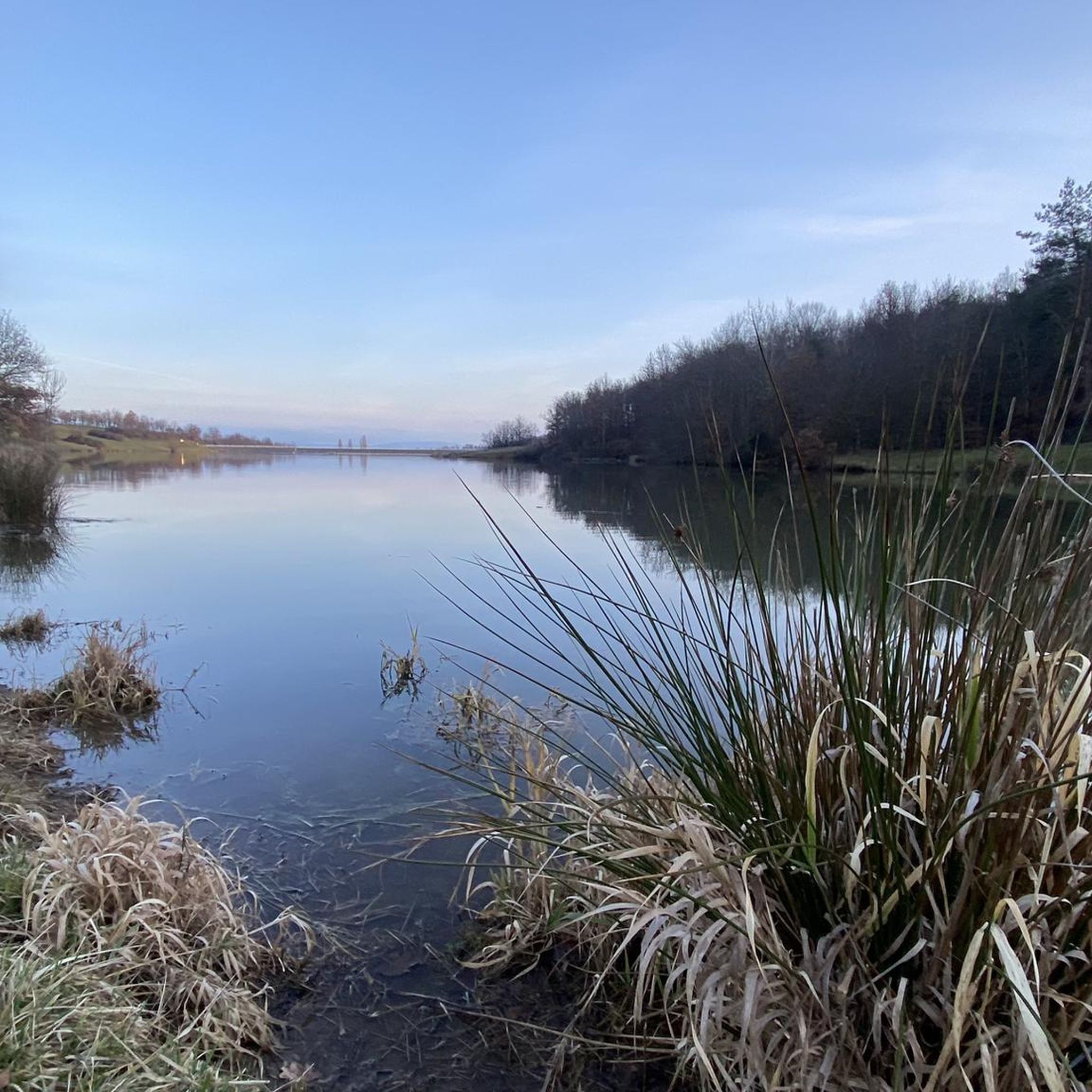
Located on a plateau at an altitude of 330 meters, the Montagny meadows and moors area was protected in 1993 in order to preserve the integrity of biological balances and prevent the disappearance of animal and plant species. Nine remarkable bird species, three invertebrate species, nine plant species and one European amphibian (great crested newt) live in this environment. Note that mountain biking off the trails is prohibited in this area.
0
0

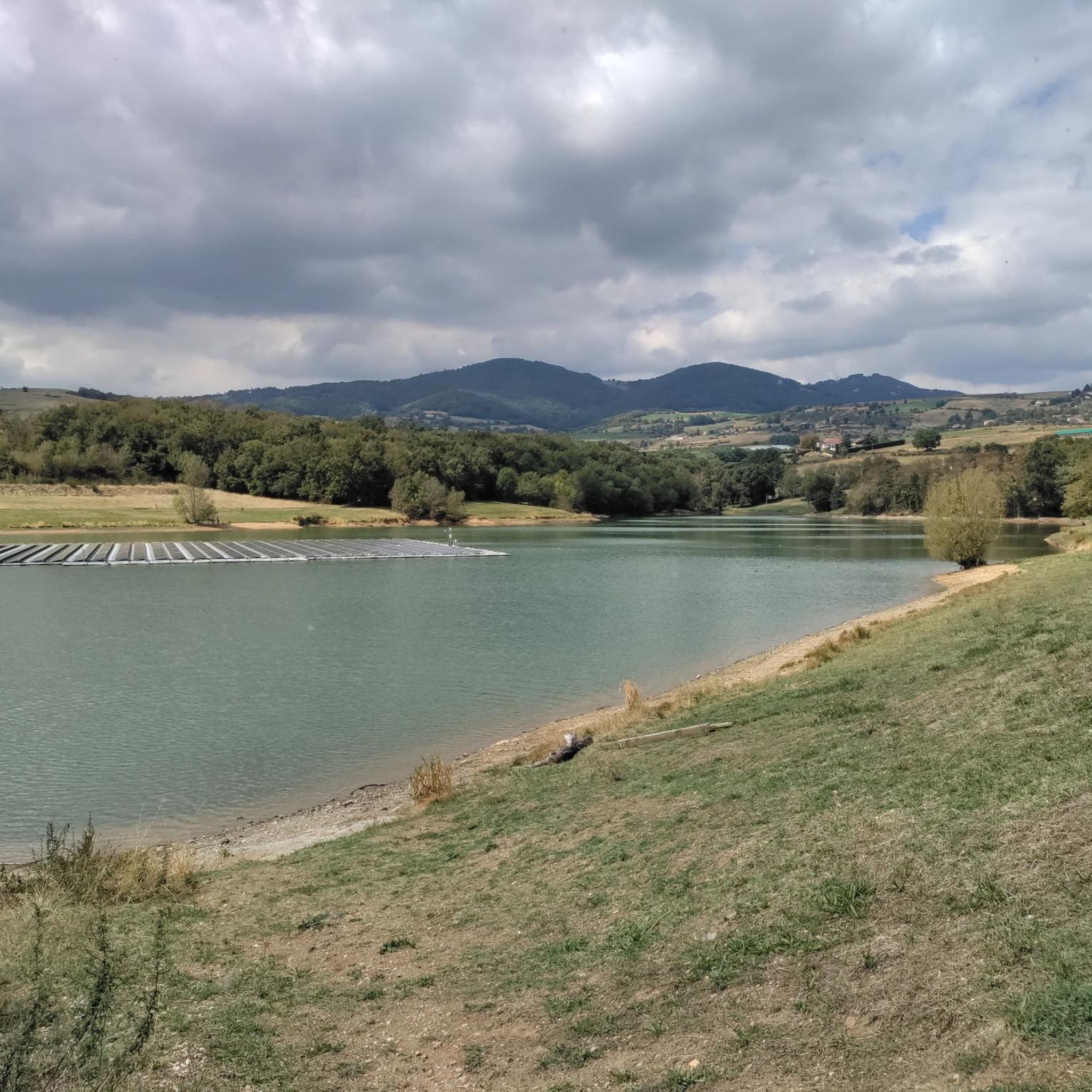
The Signal de Saint André, at an altitude of 934m, is one of the highest points of the Monts du Lyonnais. At the top, accessible on foot via a small path, a belvedere allows you to enjoy a view overlooking the Valley.
1
0
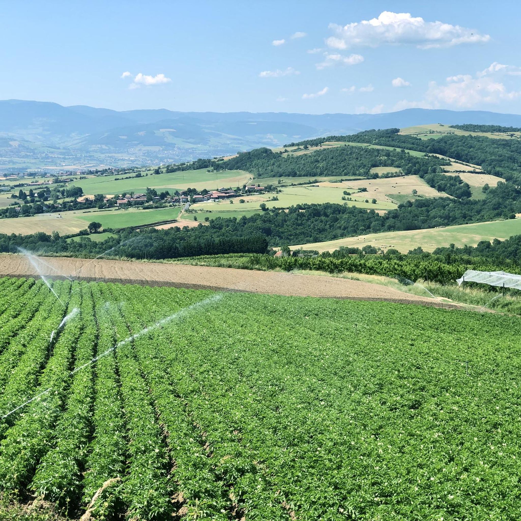
The Crêt Malherbe is the highest point of the Monts du Lyonnais with an altitude of 943 meters (only 934 meters for the Signal de Saint André).
0
0

View of the Rhone at the feet of the Madonna of the Croix-Régis.
0
0
Frequently Asked Questions
What kind of natural features can I expect to see around Saint-Maurice-sur-Dargoire?
The region offers diverse landscapes, from the mountainous terrain of the Pilat Regional Natural Park with its fir and beech forests, to the ecological richness of the Vallée du Bozançon, featuring streams, wetlands, and dry meadows. You'll encounter varied flora and fauna, significant elevation changes, and unique rock formations like Les Roches de Marlin.
Are there any protected natural areas to visit near Saint-Maurice-sur-Dargoire?
Yes, the Prairies and Heathlands of Montagny is a protected area established to preserve its biological balance and diverse species, including nine remarkable bird species and the great crested newt. Additionally, the Vallée du Bozançon is designated as an "Espace Naturel Sensible" (Sensitive Natural Area) due to its rich biodiversity.
What are some notable viewpoints among the natural monuments?
You can find several excellent viewpoints. Le Signal de Saint André, at 934 meters, offers a belvedere with views overlooking the valley. Madonne de la Croix-Régis provides views of the Rhône. For expansive panoramas, Les Roches de Marlin, also known as “Devil’s Stones,” are at 1,370 meters and offer breathtaking views of the Gier valley.
Are there any historical or cultural elements integrated with the natural monuments?
Yes, the region blends natural beauty with historical significance. For instance, Le Signal de Saint André commemorates the work of geographer César-François Cassini de Thury from the 18th century. The Vallée du Bozançon also features vestiges of the Roman aqueduct of Gier, adding a historical dimension to its natural landscape.
What outdoor activities can I do near these natural monuments?
The area is excellent for various outdoor activities. You can find numerous routes for road cycling, running, and mountain biking. For example, there are challenging road cycling routes like the Yzeron – Col des Brosses loop, moderate running trails such as the Bozancon Crossing loop, and mountain biking trails including the Le Signal de Saint André – Mont Signal Singletrack loop. You can explore more options on the Road Cycling Routes, Running Trails, and MTB Trails guides for Saint-Maurice-sur-Dargoire.
Are there specific hiking trails recommended near the natural monuments?
Yes, the Vallée du Bozançon offers several discovery trails, including thematic paths like "Sur les chemins du Bozançon," which starts in Saint-Maurice-sur-Dargoire, and the "Les aqueducs de Jurieux" loop. These trails allow you to explore the valley's preserved natural environment and historical elements.
Are there family-friendly natural monuments or trails?
The Prairies and Heathlands of Montagny is categorized as family-friendly, offering an accessible natural environment. The Vallée du Bozançon also provides discovery trails suitable for families, allowing for wildlife observation in a preserved setting.
When is the best time to visit the natural monuments around Saint-Maurice-sur-Dargoire?
The Pilat Regional Natural Park and Vallée du Bozançon are generally enjoyable throughout the warmer months, from spring to autumn, when the weather is mild and the flora is vibrant. Spring offers blooming landscapes, while autumn provides beautiful fall colors. Summer is ideal for longer hikes and outdoor activities, though some higher elevations might be cooler.
What kind of wildlife can be observed in these areas?
The region is rich in biodiversity. The Prairies and Heathlands of Montagny are home to nine remarkable bird species, three invertebrate species, and the European great crested newt. The Vallée du Bozançon provides refuge for numerous species of bats, birds, amphibians, and insects, and the presence of white-clawed crayfish indicates excellent water quality.
Can I bring my dog to these natural monuments?
While many natural areas in France are dog-friendly, it's always best to keep dogs on a leash to protect local wildlife and ensure their safety, especially in sensitive natural areas like the Prairies and Heathlands of Montagny where specific species are protected. Always check local signage for any restrictions.
What is the highest point in the Monts du Lyonnais?
The highest point in the Monts du Lyonnais is Crêt Malherbe, reaching an altitude of 943 meters. It offers panoramic views of the surrounding landscape.
Are there any unique rock formations to explore?
Yes, Les Roches de Marlin, also known as “Devil’s Stones,” are a notable megalithic site in the Pilat region. Located at 1,370 meters, these formations are steeped in ancient and mysterious stories and offer impressive views.
Most popular routes around Saint-Maurice-Sur-Dargoire
Most popular attractions around Saint-Maurice-Sur-Dargoire

Get inspired with the komoot mobile app


Explore more
Extend your search for the best caves by checking out these guides of the top ones around Saint-Maurice-Sur-Dargoire:
