Top 8 Natural Monuments around Silley-Amancey
Natural monuments near Silley-Amancey are found in a region characterized by deep valleys and impressive rock formations. The area, part of the Doubs department in France, offers diverse natural landscapes. These sites are accessible and form a significant part of the local natural heritage. The geography includes "reculées," which are deep, narrow valleys bordered by steep cliffs.
Best natural monuments around Silley-Amancey
- The most popular natural monuments is Renédale Viewpoint, a viewpoint that offers panoramic vistas. It provides a…
Last updated: October 6, 2026
Renédale Viewpoint
Highlight • Natural Monument
And as a bonus, from this side you have a …
Translated by Google •
Tip by

View of Roche Bottine
Highlight • Viewpoint
Translated by Google •
Tip by

Sign up now to discover places like this
Get recommendations on the best single tracks, peaks, & plenty of other exciting outdoor places.
Gouille Noire Viewpoint
Highlight • Viewpoint
Translated by Google •
Tip by

White Limestone Cliffs
Highlight • Natural Monument
Translated by Google •
Tip by
Canyon d'Amondans
Highlight (Segment) • Waterfall
If you are …
Translated by Google •
Tip by
Sign up for free to discover even more natural monuments around Silley-Amancey.
Already have an account?
Start today with a free account
Your next adventure awaits.

Tips from the Community

A beautiful valley - very relaxing to drive. La Roche Bottine is the right-hand rock edge that you see above Ornans. It is on the right of Ornans towards Lahier, above the D492 The left-hand rock edge is the Belvédére de Notre-Dame du Mont. Curious rock... its special shape inspired its name: La Roche Bottine
1
0

Here you have a view of three rock masses. The question is which one is the Roche Bottines
6
0

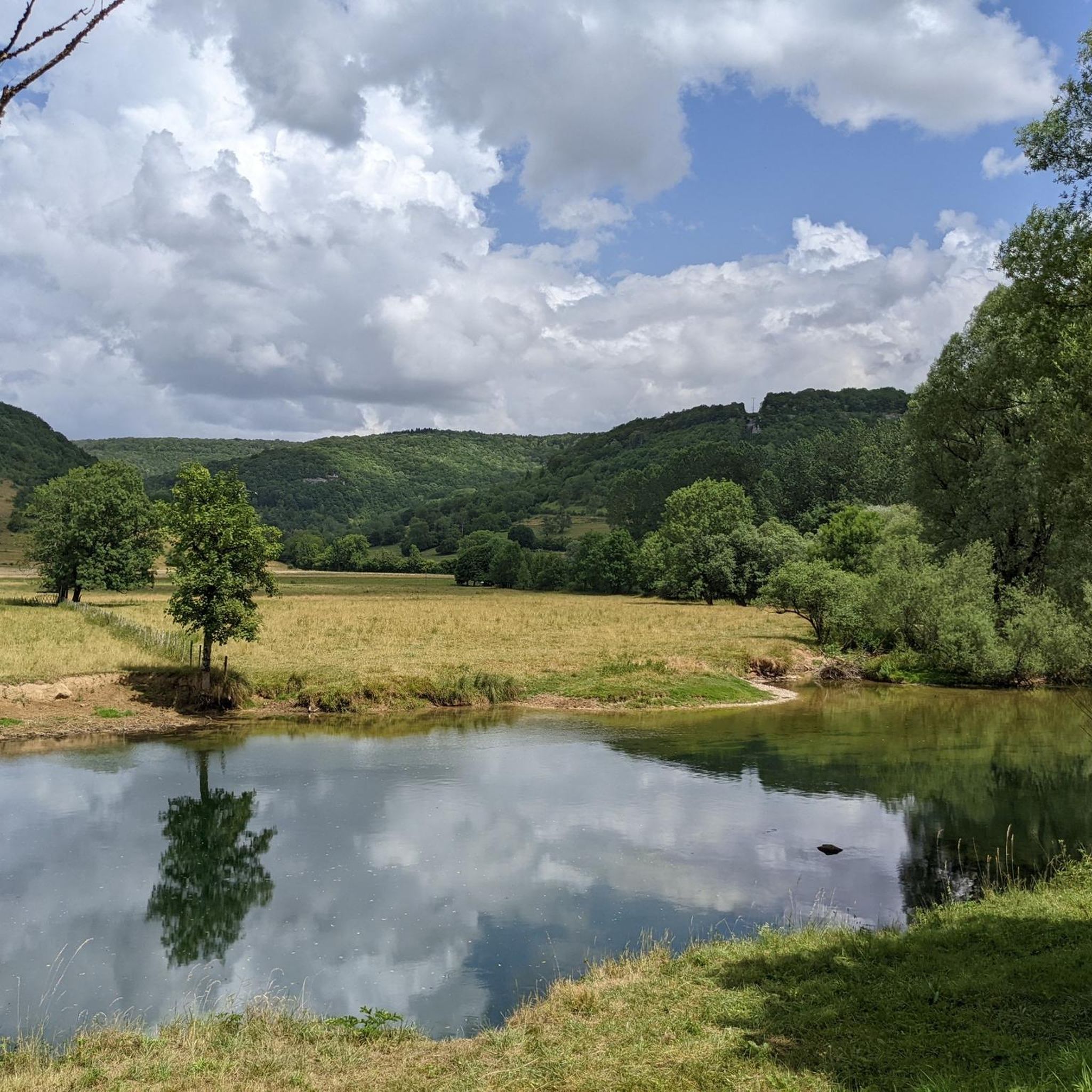
The belvedere of the black gouille overlooks the Canyon of Amondans whose top of the cliffs can be seen. It takes its name from the very deep hole (with black water) dug by the great waterfall of the Canyon d'Amondans where the Malans stream flows, which I throw into the Loue that you can see on the left.
0
0

From the top of this belvedere, you will have a breathtaking view of the Cirque de la Source de la Loue.
2
0

View of the Gorges de Nouailles from the Renédale belvedere. What beautiful nature!
0
0

Hello, this waterfall is beautiful, but I didn't have the chance to discover it... is it a hidden path?☺️
1
0

The Amondans Canyon follows the bed of the Malans stream. Its waterfalls and pools make it a beautiful canyoning course that leads to its small tuff waterfall. If you are advised to take a tour, it is recommended to be accompanied and to take into account the weather conditions of the days and weeks preceding your visit. Always inquire before approaching a canyon or a cave.
0
1
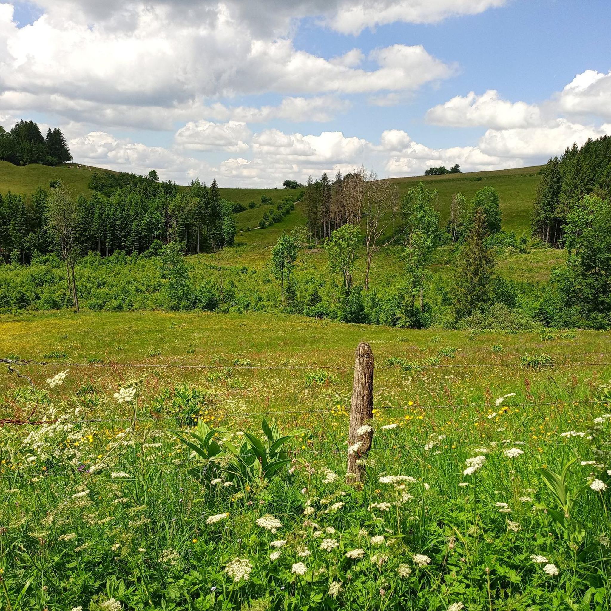
This small path takes you along the edge of the cliff, under the trees, to discover quite astonishing limestone formations. a playful route with plenty of viewpoints over the valley.
2
0
Frequently Asked Questions
What are some of the most impressive natural monuments to visit near Silley-Amancey?
Beyond the popular viewpoints, the region boasts several remarkable natural sites. You can explore the captivating Renédale Viewpoint, offering panoramic vistas of the Cirque de la Source de la Loue, or discover the unique White Limestone Cliffs with their astonishing formations. Other significant natural monuments include the powerful Source du Lison and the spectacular Source de la Loue, both major resurgences forming impressive waterfalls.
What kind of natural features can I expect to see around Silley-Amancey?
The area is characterized by its 'reculées' – deep, narrow valleys bordered by steep cliffs. You'll encounter dramatic waterfalls, such as the Cascade du fond de la reculée de Vau with its unique petrifying streams, and powerful river sources like the Lison and Loue. The landscape also features numerous panoramic viewpoints, limestone formations, and dense forests.
Are there family-friendly natural monuments or trails near Silley-Amancey?
Yes, several natural monuments and their access paths are suitable for families. The path to the Source de la Loue, for instance, is paved and offers easy access from the parking area. The View of Roche Bottine is also categorized as family-friendly. The interpretive trail at the Source du Lison is well-maintained and offers an educational experience for all ages.
What is the best time to visit the natural monuments around Silley-Amancey?
The best time to visit depends on what you wish to experience. Spring offers robust water flow at waterfalls like the Cascade du fond de la reculée de Vau. Summer provides refreshing coolness, while winter can transform cascades into beautiful ice sculptures. For hiking, spring and autumn generally offer pleasant temperatures and vibrant scenery, though some trails are enjoyable year-round.
What outdoor activities can I do near these natural monuments?
The region is excellent for various outdoor activities. You can enjoy hiking on trails that lead to viewpoints and natural sources, or explore the area by running or cycling. For more detailed routes, you can check out the Hiking around Silley-Amancey guide, the Running Trails around Silley-Amancey guide, or the Cycling around Silley-Amancey guide.
Can I visit the Source du Lison, and what can I expect there?
Yes, the Source du Lison near Nans-sous-Sainte-Anne is a popular natural attraction. The Lison river dramatically emerges from a cave, forming a striking waterfall. The site also features the Creux Billard chasm and the Sarrazine Cave. A well-maintained path leads to the source, and an interpretive trail spans 6.5 km, offering further exploration of the area's history and landscapes. It's particularly impressive after heavy rainfall.
How accessible are the viewpoints in the region?
Many viewpoints, such as the Gouille Noire Viewpoint and the Renédale Viewpoint, are accessible via hiking trails ranging from easy to intermediate difficulty. The Belvédère de la Thuyère, for example, is integrated into several trails and offers a scenic climb through the woods. Paths to major sources like the Loue are often paved for easy access.
Are there any less-known natural monuments worth discovering?
While not as widely known as the major sources, the Column Rock offers magnificent vistas of three valleys from its rocky outcrop. The White Limestone Cliffs also provide a playful route along a cliff edge with unique limestone formations and multiple viewpoints over the valley.
What do visitors enjoy most about the natural monuments around Silley-Amancey?
Visitors frequently praise the breathtaking panoramic views from spots like the Renédale Viewpoint, often describing them as 'spectacular' and 'dizzying.' The unique geological features, such as the petrifying streams at Cascade du fond de la reculée de Vau and the dramatic river resurgences, are also highly appreciated. The tranquility and natural beauty of the Loue Valley are often highlighted as well.
Can I see wildlife in the natural monument areas?
The 'reculées' (deep valleys) around Silley-Amancey host specific fauna and flora. The iconic peregrine falcon is known to inhabit these areas. Keep an eye out for various bird species and other local wildlife, especially in the more secluded parts of the valleys and forests.
Are there challenging hiking trails to reach some of the natural monuments?
Yes, while some paths are easy, certain sections of hiking trails, particularly those leading to the Cascade du fond de la reculée de Vau, can be considered difficult and may involve rocky and slippery terrain. The climb to viewpoints like the Belvédère de la Thuyère can also be moderately challenging but rewarding.
What is the Cascade du fond de la reculée de Vau, and how can I access it?
The Cascade du fond de la reculée de Vau, located near Montgesoye, is a captivating waterfall descending approximately 10 meters. Its unique feature is the 'pétrifiants' (petrifying) streams, where tufa deposits create unusual rock formations. Access is via a relatively flat path along the Vau stream from Montgesoye, though some sections of the hiking trail can be difficult and slippery.
Most popular routes around Silley-Amancey
Most popular attractions around Silley-Amancey

Get inspired with the komoot mobile app


Explore more
Extend your search for the best caves by checking out these guides of the top ones around Silley-Amancey:
