Top 7 Natural Monuments around Mégevette
Best natural monuments around Mégevette include a diverse range of natural features in Haute-Savoie, France. The region is characterized by its mountainous terrain, offering views of prominent peaks and valleys. Mégevette's landscape features geological formations such as gorges, caves, and mountain summits. These natural landmarks provide opportunities for outdoor activities and exploration.
Best natural monuments around Mégevette
- The most popular natural monuments is Pointe de Marcelly, a summit that offers views of the valley and the Môle. This location…
Last updated: July 2, 2026
Pointe des Brasses
Highlight • Summit
Les Brasses …
Translated by Google •
Tip by

La Gouille aux Morts
Highlight • Lake
Gouille aux Morts: What an ugly name for this charming little pond. Beavers, mallards, herons, and especially frogs …
Translated by Google •
Tip by
Sign up now to discover places like this
Get recommendations on the best single tracks, peaks, & plenty of other exciting outdoor places.
Sign up for free
Gorges du Pont du Diable
Highlight • Gorge
Translated by Google •
Tip by

Copacou Stone
Highlight • Natural Monument
The rock is very steep on the descent side, but flat on the other side …
Translated by Google •
Tip by

Le Môle summit cross
Highlight • Summit
Translated by Google •
Tip by

Sign up for free to discover even more natural monuments around Mégevette.
Sign up for free
Already have an account?
Start today with a free account
Your next adventure awaits.
Login or Signup


Tips from the Community

Intersection Point: La Gouille aux Morts (Pond of the Dead) Altitude 650m Gouille aux Morts: What an ugly name for this charming little pond. Beavers, mallards, herons, and especially frogs take shelter in its tall grass and breed there. The place is calm and peaceful, far from the road to the Vallée Verte (Green Valley), although you can still hear the sounds of traffic. Above it, the Molière à Vachat stream is mirrored in its waters. Its reflection blends with the water lilies scattered there, creating perfect harmony. A delight for the eye of the walker. It's impossible not to think of Monet's "Water Lilies." It is said that, long ago, two stonemasons working at the "Molière," located about fifty meters above, fell to their deaths there on a Sunday (yes, a Sunday...the Lord's Day). See: H. Savoie: Les Molières du Mont Vouan. Or perhaps the pond got its name because a peasant was swallowed up there with his cart...
1
0

Very nice hike. It was quite crowded today. Contrary to what’s written in the description, I didn’t see any particularly risky passages
0
0


It can blow hard up there! I recommend the path that goes down to La Tour from the east
0
1

Nice place to take a break but not worth a hike on its own. Nice view of the Rocafort castle less than 10 minutes away on foot. This stone is also located about thirty minutes from the Penaz waterfall which is worth the detour.
1
0

The cross means summit of the Brasse mountain
1
0
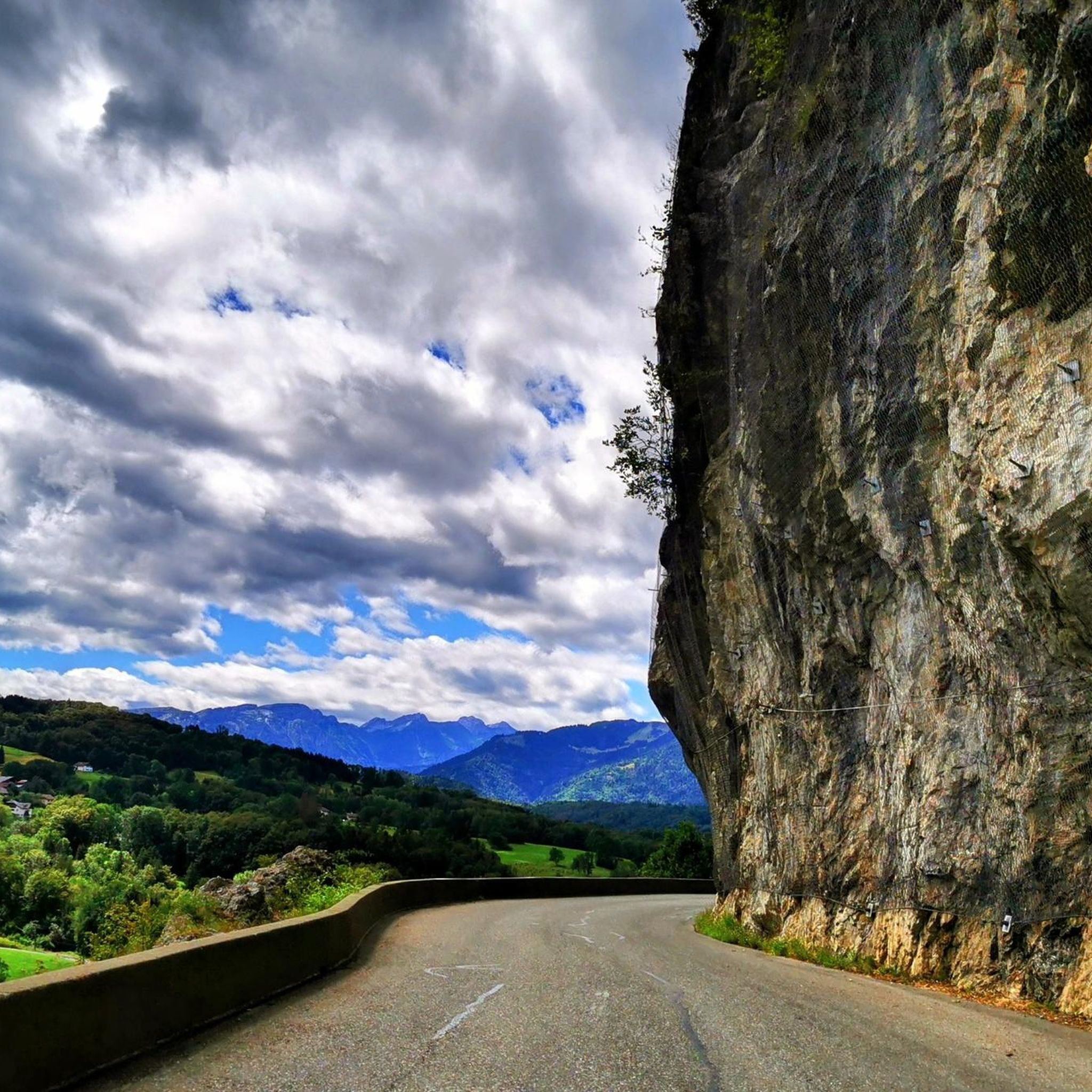
Incredible nature, the river has carved out a passage
0
0
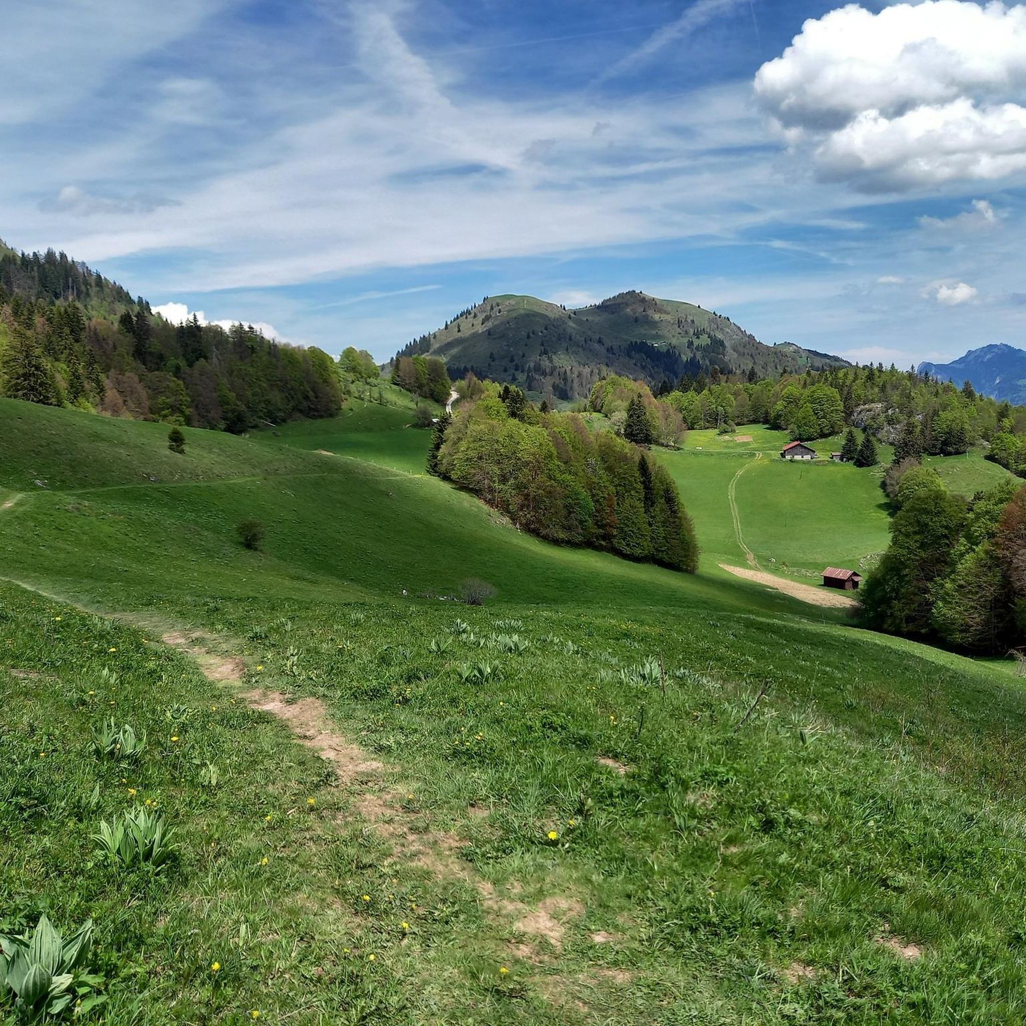
Pointe des Brasses is a summit of Haute-Savoie located in the Chablais massif, straddling the municipalities of Saint-Jeoire and Viuz-en-Sallaz, and culminating at 1,503 meters above sea level. Les Brasses is a toponym from a mountain pasture located above Viuz-en-Sallaz2. It could derive from the German Brache, which designates fallow or fallow land2,3, or from the Old German braka meaning “clearing”3. It is possible that it also derives from the Latin bracchium3 (“arm”), referring to the arms of the river, three of which have their source in Brasses: the Menoge, the Entreverges and Airets streams. In June 2013, a cross made by students from the Viuz-en-Sallaz Catholic Automobile School was erected on its summit. Six meters high, it is made up of 33 metal cubes measuring 30 centimeters on each side, assembled on site and arranged in a spiral by the students themselves. She was blessed on July 7, 2013 by Mgr Boivineau, Bishop of Annecy.
1
0
Frequently Asked Questions
What are some highly-rated natural monuments around Mégevette?
Visitors frequently praise Pointe de Marcelly for its stunning views of the valley and Le Môle. Another favorite is the Le Môle summit cross, offering exceptional panoramas of the Mont Blanc range. The Gorges du Pont du Diable are also highly regarded for their dramatic geological formations where the river has carved a passage.
What unique geological features can I explore near Mégevette?
Mégevette is rich in diverse geological formations. You can explore the intricate network of natural Caves of Mégevette, offering unique caving experiences through kilometers of galleries. The Gorges du Pont du Diable showcase a glacial lock where the river has carved a passage through resistant limestone layers. Additionally, the Cascade de la Diomaz features multiple cascades plunging into naturally carved potholes known as 'marmites des Chartreux'.
Are there family-friendly natural monuments around Mégevette?
Yes, the La Gouille aux Morts is a charming and peaceful pond, ideal for a calm visit with family. It's a serene spot where you can observe local wildlife like beavers, mallards, and frogs. The Cascade de la Diomaz is also easily accessible and suitable for easy walks, making it a good option for families.
What outdoor activities can I do near these natural monuments?
The region around Mégevette offers a variety of outdoor activities. You can find numerous running trails, mountain biking routes, and mountain hikes. For instance, the Roc d'Enfer area is excellent for snowshoeing in winter, and Le Môle offers various hiking trails for different fitness levels. Canyoning is also popular at the Cascade de la Diomaz.
Are there any natural monuments with historical significance?
Yes, the Copacou Stone is considered an archaeological particularity, believed to be a sacrificial and chalice stone. Additionally, Le Môle mountain holds historical importance as it was from its peak in 1775 that the height of Mont Blanc was first accurately measured.
What kind of panoramic views can I expect from the natural monuments?
The natural monuments around Mégevette offer breathtaking panoramic views. From Le Môle summit cross, you can see the entire Mont Blanc range, Lake Geneva, and the Jura mountains. The Roc d'Enfer also provides expansive views of Mont Blanc, Lake Geneva, and the Dents du Midi in Switzerland. Pointe de Marcelly offers one of the most beautiful views of the valley, with a unique perspective overlooking Le Môle.
Tell me more about the Cascade de la Diomaz.
The Cascade de la Diomaz is a beautiful waterfall located on the border of Mégevette and Bellevaux. It features multiple cascades that plunge into unique potholes known as 'marmites des Chartreux'. An engraved cross, the Croix des Chartreux, can be found at its base. It's easily accessible from the Saint-Bruno chapel and is a popular spot for easy walks and canyoning.
What is the Roc d'Enfer known for?
Approximately 9 kilometers from Mégevette, the Roc d'Enfer is a significant natural landmark renowned for its authentic mountain environment and stunning panoramas. It features spruce forests and unspoiled nature, offering expansive views of Mont Blanc, Lake Geneva, and the Dents du Midi in Switzerland. While popular for skiing, its natural beauty makes it ideal for snowshoeing and tranquil mountain escapes, with a 20 km 'Tour du Roc d'Enfer' circuit available.
What is special about Le Môle mountain?
Le Môle, about 11 kilometers from Mégevette, is a prominent mountain known for its spectacular 360-degree panoramic views. From its summit, you can see the entire Mont Blanc range, Lake Geneva, and the Jura mountains. It's a classic hike in the region with various trails through forests and pastureland. Its distinctive shape, sometimes compared to a volcano, makes it a recognizable and rewarding destination for hikers.
What is the best time to visit the natural monuments around Mégevette?
The best time to visit largely depends on the activity you plan. Spring and summer (May to September) are ideal for hiking, caving, and enjoying waterfalls, with pleasant weather. Autumn offers beautiful foliage. Winter provides opportunities for snowshoeing and enjoying snow-covered landscapes, especially around Roc d'Enfer, though some areas may be less accessible.
How long does it typically take to visit some of these natural monuments?
The duration of your visit will vary by monument and activity. Easy walks to places like Cascade de la Diomaz or La Gouille aux Morts might take an hour or two. Exploring the Caves of Mégevette or undertaking a hike to Le Môle summit cross or Pointe de Marcelly could range from a half-day to a full day, depending on the trail and your pace.
Most popular routes around Mégevette
Most popular attractions around Mégevette

Get inspired with the komoot mobile app


Explore more
Extend your search for the best caves by checking out these guides of the top ones around Mégevette:
