Top 20 Natural Monuments around Montagnole
Best natural monuments around Montagnole offer diverse natural features in the French commune and its surrounding area. The region is characterized by its mountainous terrain, including prominent peaks like Mont Granier, and scenic valleys. Visitors can explore a variety of natural attractions, from tranquil lakes nestled among vineyards to impressive waterfalls and panoramic viewpoints. These sites provide opportunities for outdoor exploration and appreciation of the Savoyard landscape.
Best natural monuments around Montagnole
- The most popular natural monuments is Nivolet Cross…
Last updated: July 2, 2026
Nivolet Cross
Highlight • Summit
The view - everyone agrees - is phenomenal!
Translated by Google •
Tip by

Lake Saint-André
Highlight • Lake
In the leisure area, unsupervised, swimming is tolerated at the risk and peril of users. Prohibited in the rest of the lake.
Translated by Google •
Tip by

Sign up now to discover places like this
Get recommendations on the best single tracks, peaks, & plenty of other exciting outdoor places.
Sign up for free
Lac d'Aiguebelette
Highlight • Lake
Translated by Google •
Tip by

La Cochette Cross
Highlight • Summit
Translated by Google •
Tip by

Cascade de la Doriaz
Highlight • Waterfall
Translated by Google •
Tip by
Sign up for free to discover even more natural monuments around Montagnole.
Sign up for free
Already have an account?
Start today with a free account
Your next adventure awaits.
Login or Signup

Tips from the Community

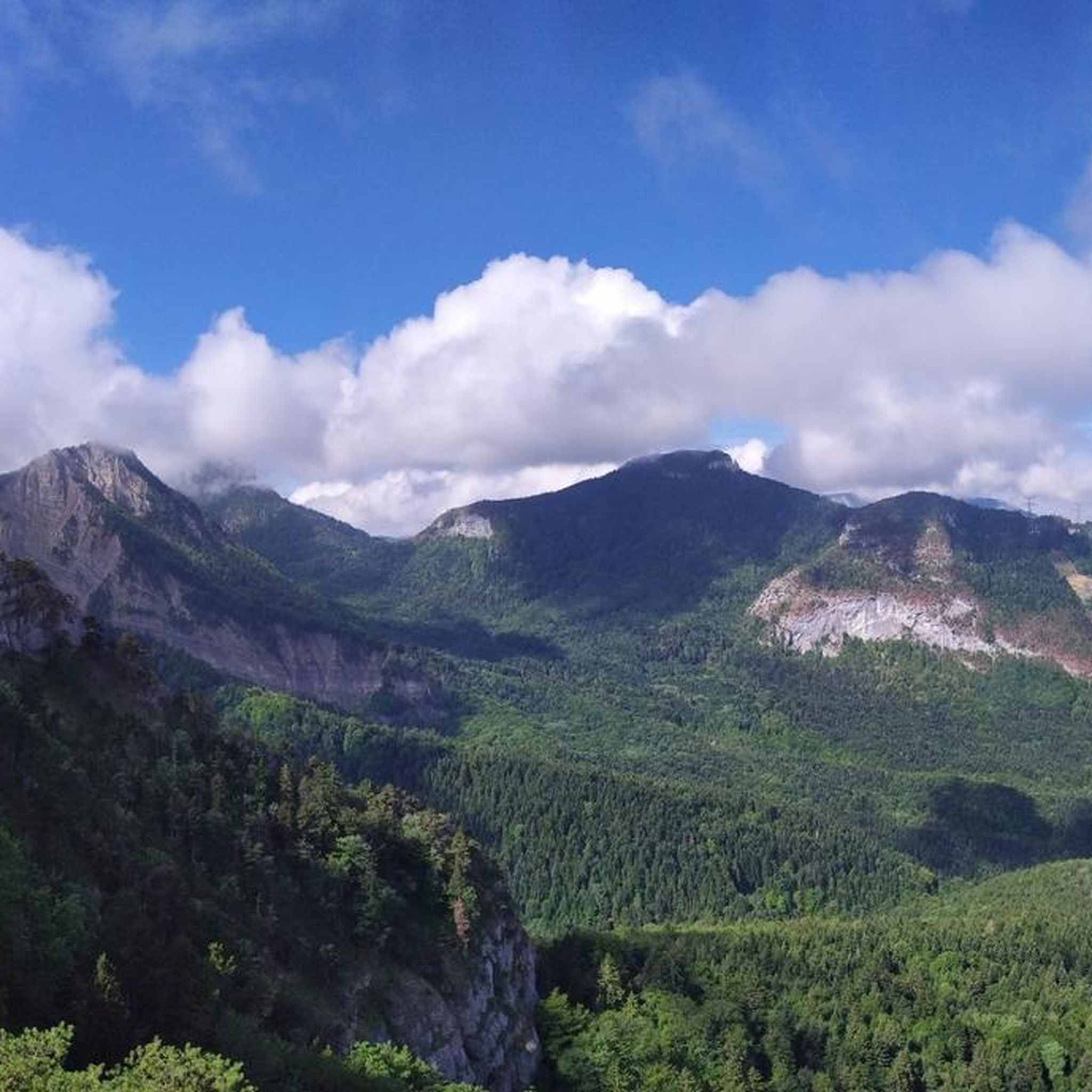
Magnificent view of the heart of the Chartreuse region, the plain of St. Laurent du Pont, and Mont Blanc in the background, seemingly within arm's reach. The access path via the ridge that connects to Outheran is very straightforward. The climb from St. Jean de Couz on the SW side is quite complicated. The path is barely visible and rather difficult to follow on a very steep face. The final section leads up a very steep couloir, through a slippery and unstable scree slope. Furthermore, the exposure to falling rocks is quite significant; extreme caution is required (helmet recommended). The final section consists of short climbing sections and very steep ascents in fairly exposed grassy terrain (fairly straightforward, but exposed).
0
0

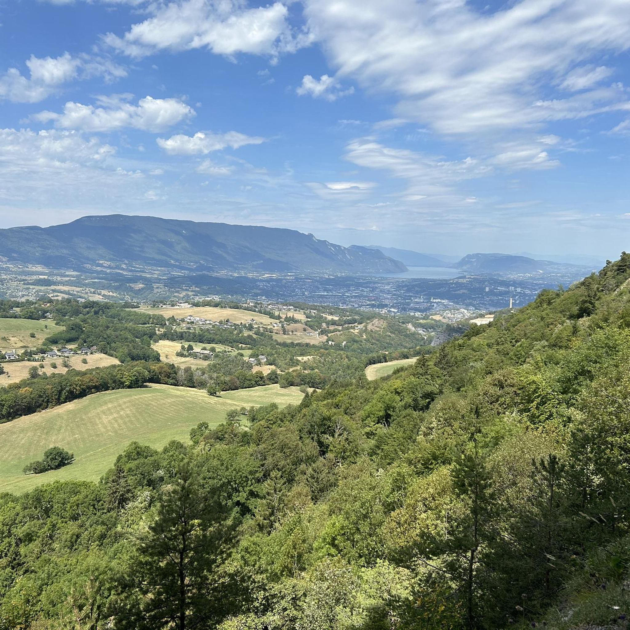
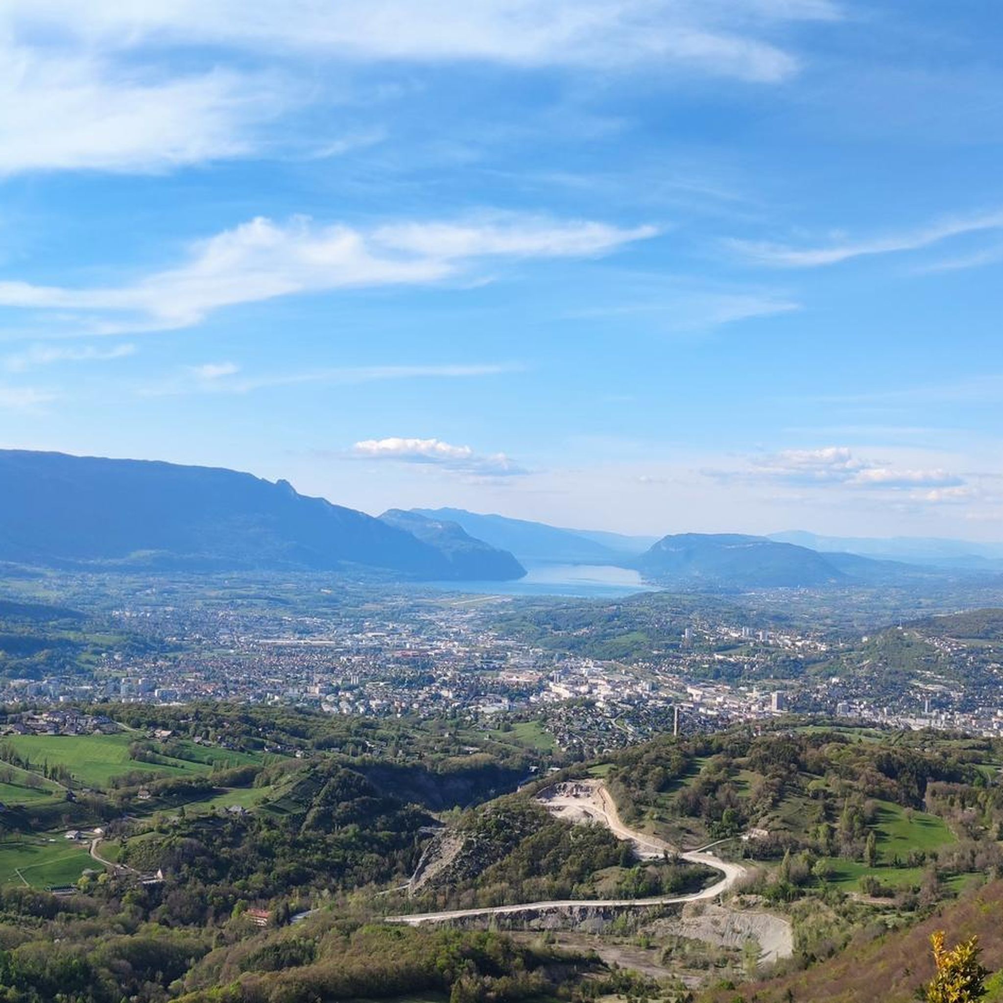
Magnificent view of Chambéry and Lake Bourget A lovely picnic area
0
0

Don't forget that even if it's in the mid-mountains, you need to be equipped for the weather, good shoes, and good physical condition.
0
0

small viewpoint on Lake St André
1
0

Lake Aiguebelette is a natural lake located in France in the Savoie department in the Auvergne-Rhône-Alpes region. Main lake of the Savoyard Avant-Pays, in the southern end of the Jura massif, it is located approximately 10 kilometers from Chambéry, approximately 40 kilometers from Grenoble and approximately 100 kilometers from Lyon. It has an area of 545 hectares and is as such the seventh natural French lake after Lake Geneva (in part), Lake Hourtin and Carcans, Lake Grand-Lieu, Lake Bourget, Lake Annecy and Lake Marville (at Kerguelen). Bordered to the east by the Épine chain which culminates with Mont Grelle at 1,427 meters and to the west by Mont Tournier, its maximum depth is 71 meters. At first glance, it is characterized by its often green color, whereas, in the same region, Lake Annecy is bluer and Lake Bourget is more often steel gray. Lake Aiguebelette is a private lake which belongs to the Rivérieulx de Chambost de Lépin family and Électrcité de France, who have entrusted its management to the Communauté de Communes du Lac d'Aiguebelette. Its banks are shared between five riverside municipalities: Aiguebelette-le-Lac, Lépin-le-Lac, Saint-Alban-de-Montbel, Novalaise and Nances. In the southern part of the lake there are two islands, surrounded by reed beds. In order to preserve the quality of its waters and its environment, thermal motor boats have been prohibited on the lake since a decree of 1967. It has also been the first regional freshwater nature reserve in France since March 2015. Source: Wikipedia
1
0

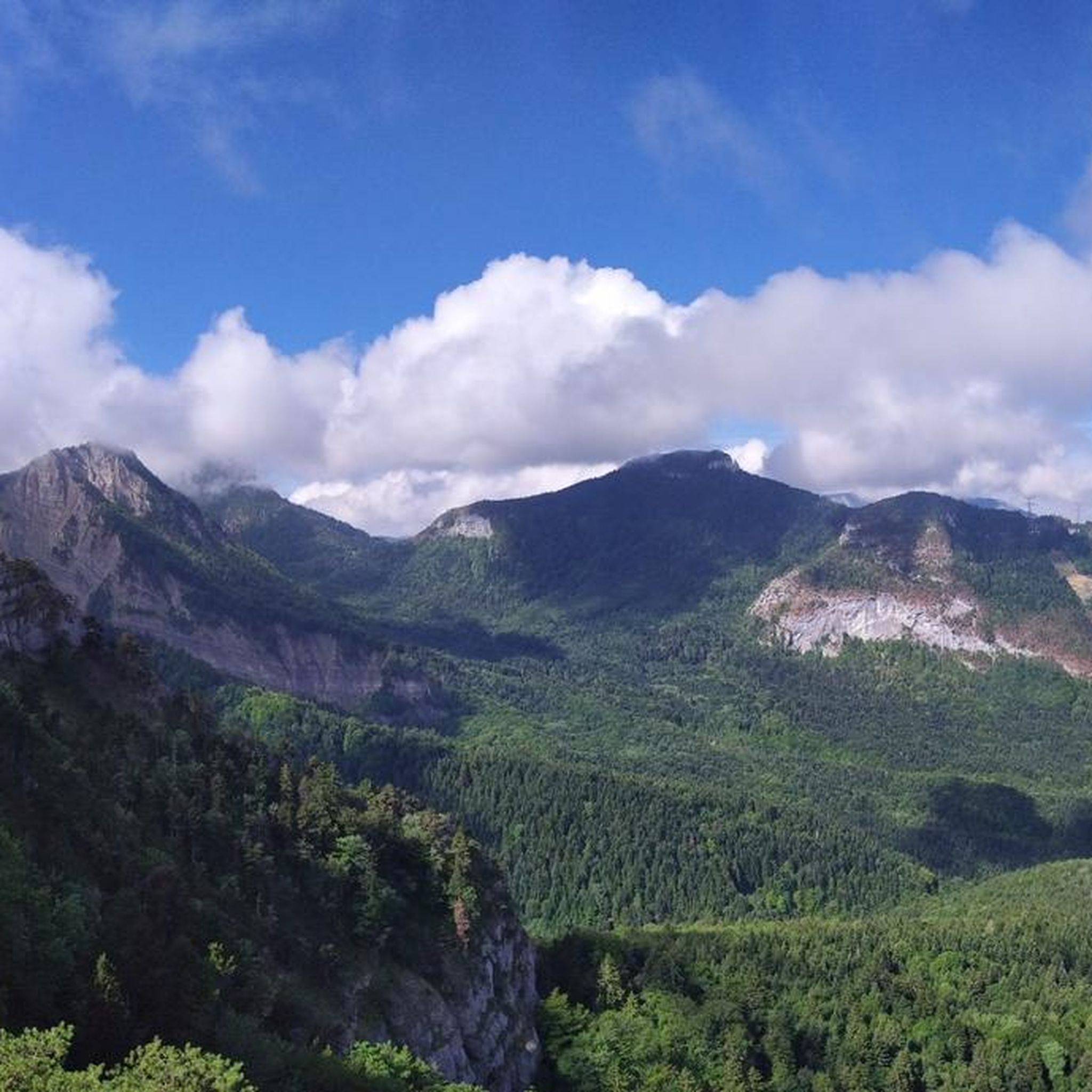
Very beautiful panorama of the Chartreuse seen from the north-west, with Mont-Blanc in focus to the north-east, the Belledonne massif behind the Chartreuse and the foothills of the Vercors to the south, as far as Obiou which can be seen when the weather is nice. And all after a short climb, with a few slightly steep passages however...
0
0

Magnificent lake in a mountain atmosphere, with a pretty road that goes around it, partly away from traffic. Do it clockwise.
2
0

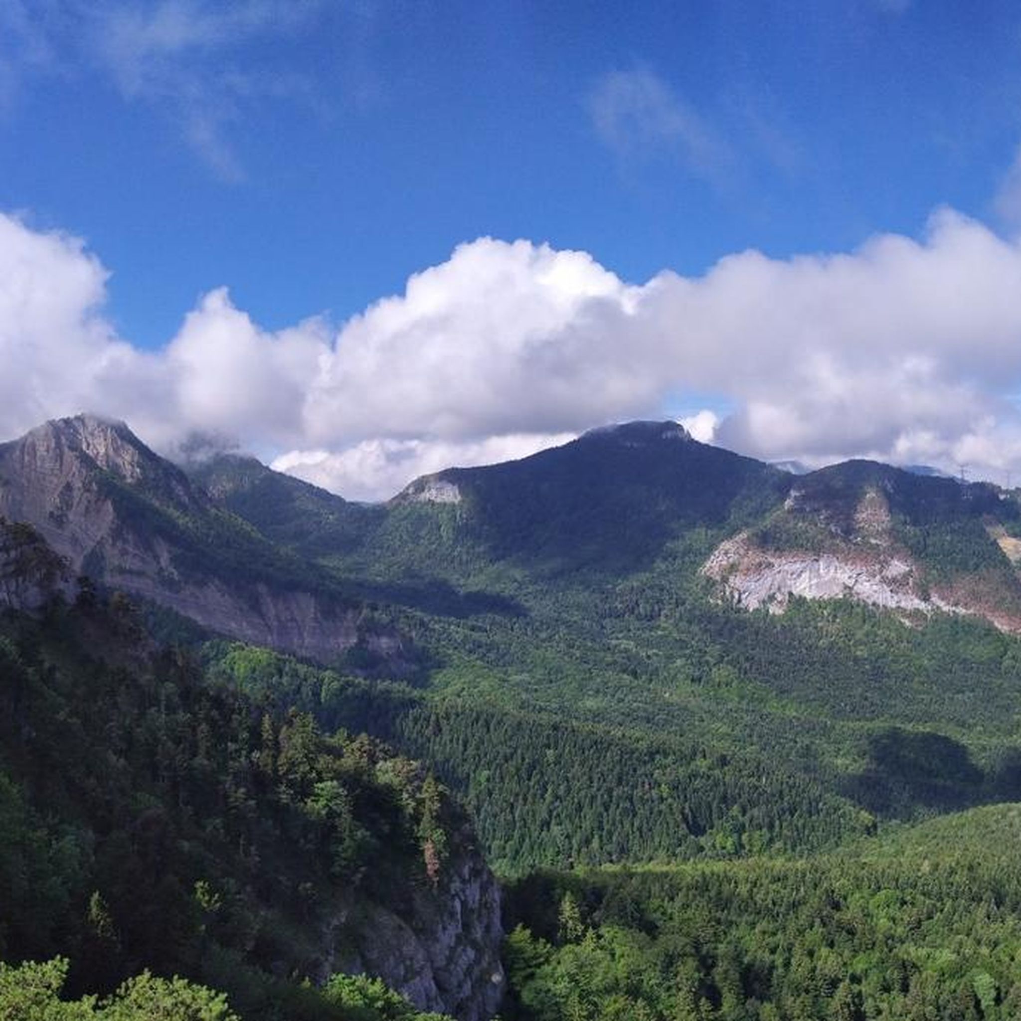
Pretty summit culminating at 1,621 meters above sea level in the north of the Chartreuse massif.
1
0
Frequently Asked Questions
What are some of the most popular natural monuments to visit near Montagnole?
Among the most appreciated natural monuments are the Nivolet Cross, offering phenomenal 360-degree views, and the impressive Cascade de la Doriaz waterfall. Visitors also enjoy the serene Lake Saint-André, nestled among vineyards.
Are there family-friendly natural monuments around Montagnole?
Yes, several natural monuments are suitable for families. Lake Saint-André is a great option with a picnic area and a discovery trail. The Nivolet Cross is also considered family-friendly, offering accessible routes to its stunning viewpoint. Additionally, Lac d'Aiguebelette provides a beautiful setting for family outings with its scenic surroundings.
What types of natural features can I expect to see around Montagnole?
The Montagnole area is rich in diverse natural features. You can explore prominent summits like Nivolet Cross and La Cochette Cross, tranquil lakes such as Lake Saint-André and Lac d'Aiguebelette, and captivating waterfalls like Cascade de la Doriaz. The region also boasts numerous panoramic viewpoints and lush forest environments.
Where can I find the best panoramic viewpoints near Montagnole?
For breathtaking views, the Nivolet Cross offers a phenomenal 360-degree panorama of the Chambéry region. Other notable viewpoints include Croix de la Coche and Belvédère du Corbeau. Le Mont Saint-Michel in nearby Curienne also provides a unique vista of the Chambéry valley, vineyards, and the Chartreuse Massif. The broader Chambéry Montagnes region is dotted with various belvederes promising stunning landscapes.
Are there hiking trails near the natural monuments around Montagnole?
Yes, the area offers a variety of hiking opportunities. The Nivolet Cross is accessible via several routes of varying difficulty. The Cascade de la Doriaz has a path leading steeply uphill to its source. Additionally, the Sentier des cascades et de La Grobelle is a refreshing hiking trail that follows the Nant du Vard torrent, revealing natural curiosities along the way. For more hiking options, explore the Running Trails around Montagnole guide, which includes routes like the 'View of Nivolet – Lac du Bourget in the valley loop'.
What outdoor activities can I do near these natural monuments?
Beyond exploring the natural monuments themselves, the Montagnole area is excellent for various outdoor activities. You can find numerous cycling routes, including those in the Cycling around Montagnole guide, with options like the 'Vignes de Myans – Lake Carouge loop'. Road cycling enthusiasts can check out the Road Cycling Routes around Montagnole, featuring routes like the 'Granier Pass – Cluse Pass loop'. There are also dedicated Running Trails around Montagnole for joggers.
What is Mont Granier and is it accessible from Montagnole?
Mont Granier is a prominent mountain located approximately 8 kilometers from Montagnole. It is recognized as a significant site of natural beauty, offering opportunities for hiking and appreciating alpine scenery. While not a formal monument, its majestic presence and natural charm make it a worthwhile destination for outdoor enthusiasts.
Are there any hidden natural gems or less-known spots worth visiting?
While not widely publicized, Le Mont Saint-Michel, located in nearby Curienne, is considered a discreet yet majestic promontory. It offers a unique panorama of the Chambéry valley, the vineyards of the Coeur de Savoie, and the peaks of the Chartreuse Massif, making it a hidden gem for those seeking stunning views away from the main crowds.
What do visitors enjoy most about the natural monuments in the Montagnole area?
Visitors frequently praise the phenomenal 360-degree views from summits like Nivolet Cross, often describing them as a 'MUST' in the Rhone Alps. The serene environment of lakes like Lake Saint-André, nestled in vineyards, is also highly appreciated for its tranquility and beauty. The impressive sight of Cascade de la Doriaz and the refreshing experience of trails like Sentier des cascades et de La Grobelle are also popular highlights.
What is special about Lac d'Aiguebelette?
Lac d'Aiguebelette is a magnificent lake known for its often green color, distinguishing it from other regional lakes. It's a private lake where thermal motor boats have been prohibited since 1967 to preserve its water quality and environment. The road around the lake offers an easy ride with views of the mountains and the lake, and there are many spots to stop and cool off, making it an essential summer destination.
What is the difficulty level of trails leading to natural monuments like Nivolet Cross or Cascade de la Doriaz?
The difficulty varies. The Nivolet Cross offers several accesses, some of which are relatively easy and considered 'accessible to all', while others can be more challenging. The path leading to the source of Cascade de la Doriaz is described as steeply uphill and challenging, requiring caution due to slippery surfaces, with a safety rope available for assistance.
Most popular routes around Montagnole
Most popular attractions around Montagnole

Get inspired with the komoot mobile app


Explore more
Extend your search for the best caves by checking out these guides of the top ones around Montagnole:
