Top 13 Natural Monuments around Le Reposoir
Best natural monuments around Le Reposoir are found in the French Alps, an area characterized by its mountainous terrain and diverse natural features. The region offers a range of natural landmarks, from high peaks to serene lakes and impressive waterfalls. These sites provide opportunities for outdoor activities and exploration of the local geology and landscapes. Le Reposoir serves as a base for accessing these natural attractions.
Best natural monuments around Le Reposoir
- The most popular natural monuments is Fly Hole…
Last updated: July 2, 2026
Fly Hole
Highlight • Summit
Tip by

Arpenaz Waterfall
Highlight • Waterfall
Translated by Google •
Tip by

Sign up now to discover places like this
Get recommendations on the best single tracks, peaks, & plenty of other exciting outdoor places.
Sign up for free
Lac Bénit
Highlight • Lake
Translated by Google •
Tip by

Pic de Jallouvre
Highlight • Summit
Translated by Google •
Tip by

Daney Cross
Highlight • Summit
Translated by Google •
Tip by

Sign up for free to discover even more natural monuments around Le Reposoir.
Sign up for free
Already have an account?
Start today with a free account
Your next adventure awaits.
Login or Signup
Popular around Le Reposoir
Immerse yourself in the French Alps from Samoëns to Entremont-le-Vieux – GR 96

Legendary passes of the Tour de France
Road Cycling Routes around Le Reposoir
Hiking around Le Reposoir
Cycling around Le Reposoir
MTB Trails around Le Reposoir
Running Trails around Le Reposoir

Gravel biking around Le Reposoir
Mountain Hikes around Le Reposoir

Tips from the Community

We were there at the end of September 2024, and there was already a lot of snow. Be sure to check the weather conditions beforehand. The snow made the hike significantly more challenging. Many people weren't well prepared.
1
0

This is the famous waterfall that can be seen from the highway. The Arpenaz waterfall is impressive at 270 meters high. It is ranked 3rd in the country and the 1st waterfall in the French Alps.
1
0

Superb rocky hole at the top of the mountain. Difficult to access (bike on your back) on the way up and 150m unrideable at the start of the descent on either side. Prefer to go up via Grand Crêt and go down via Paccaly. Very technical, steep and exposed trail. Reserved for excellent descenders.
0
0

As you climb the challenging trail to the top of Tête du Danay, you’ll be rewarded with breathtaking panoramic views of the surrounding mountains and valleys. Once you reach the top, you’ll come across the iconic Croix du Danay, an imposing cross that marks the highest point in the region. From this vantage point, you can admire the picturesque villages, winding rivers and lush forests that characterize the landscape.
0
0

A majestic summit resembling a pyramid from the Cenise side, the Jallouvre - or Jalouvre - is a mythical summit whose ascent, although not difficult compared to its neighbor Pointe Blanche overhanging it by 30m, remains in the memory like that of a almost epic adventure between grueling scree (on both sides), the mythical Col du Razoir (the aptly named) and the Passage de la Cravate which, in the end, poses no more problem than that when the residual snowfields have disappeared, unless that we are subject to vertigo. In summary, one of the most beautiful hikes in the area in my opinion, for which you still need to be sure-footed and in good shape, but which can be tamed quite easily. Do not miss !
1
0

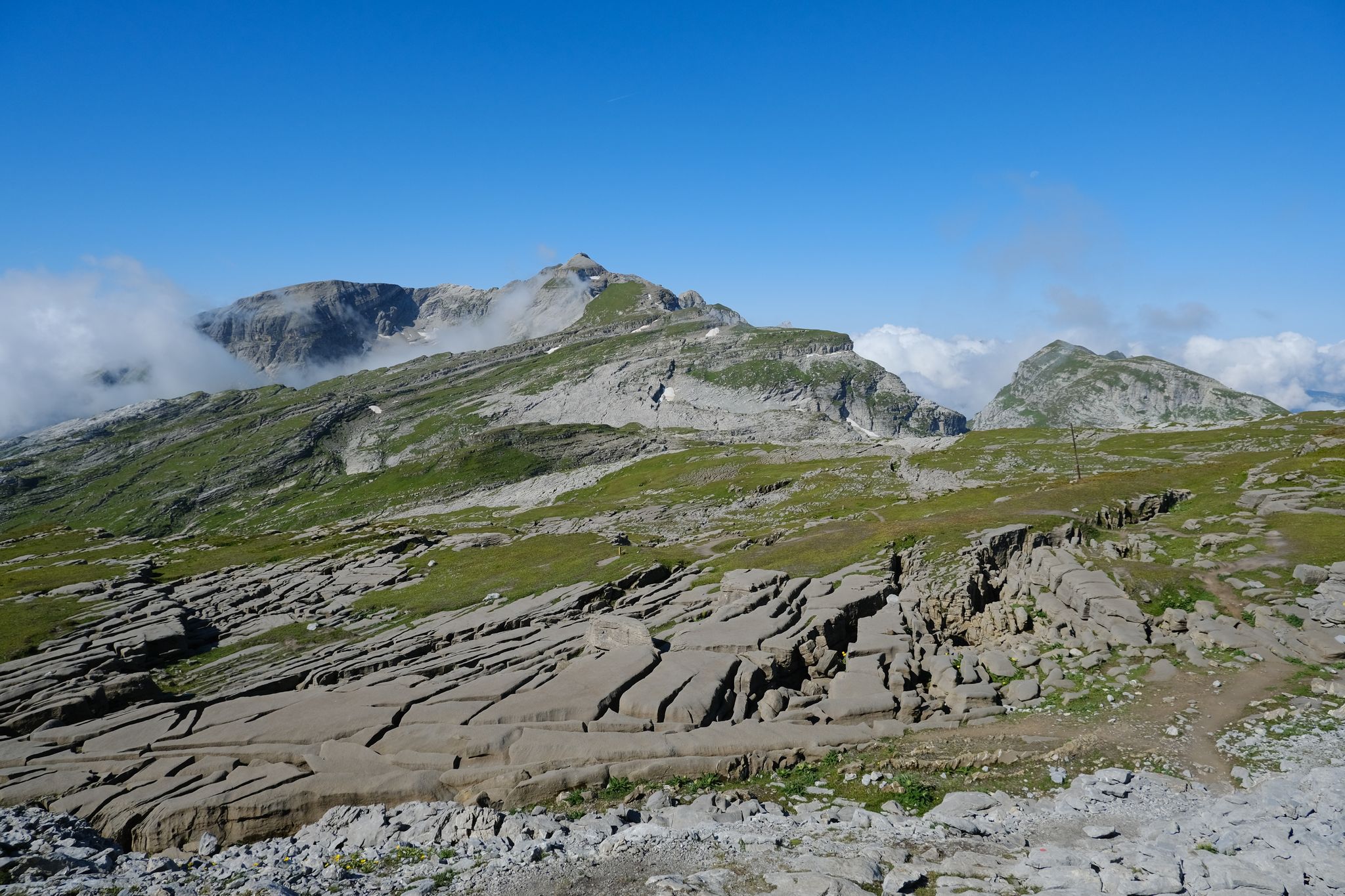
After a nice climb, we find ourselves straddling two very different valleys under this natural limestone arch, all in all impressive.
3
2

Awesome waterfall. Great for swimming in too.
2
0

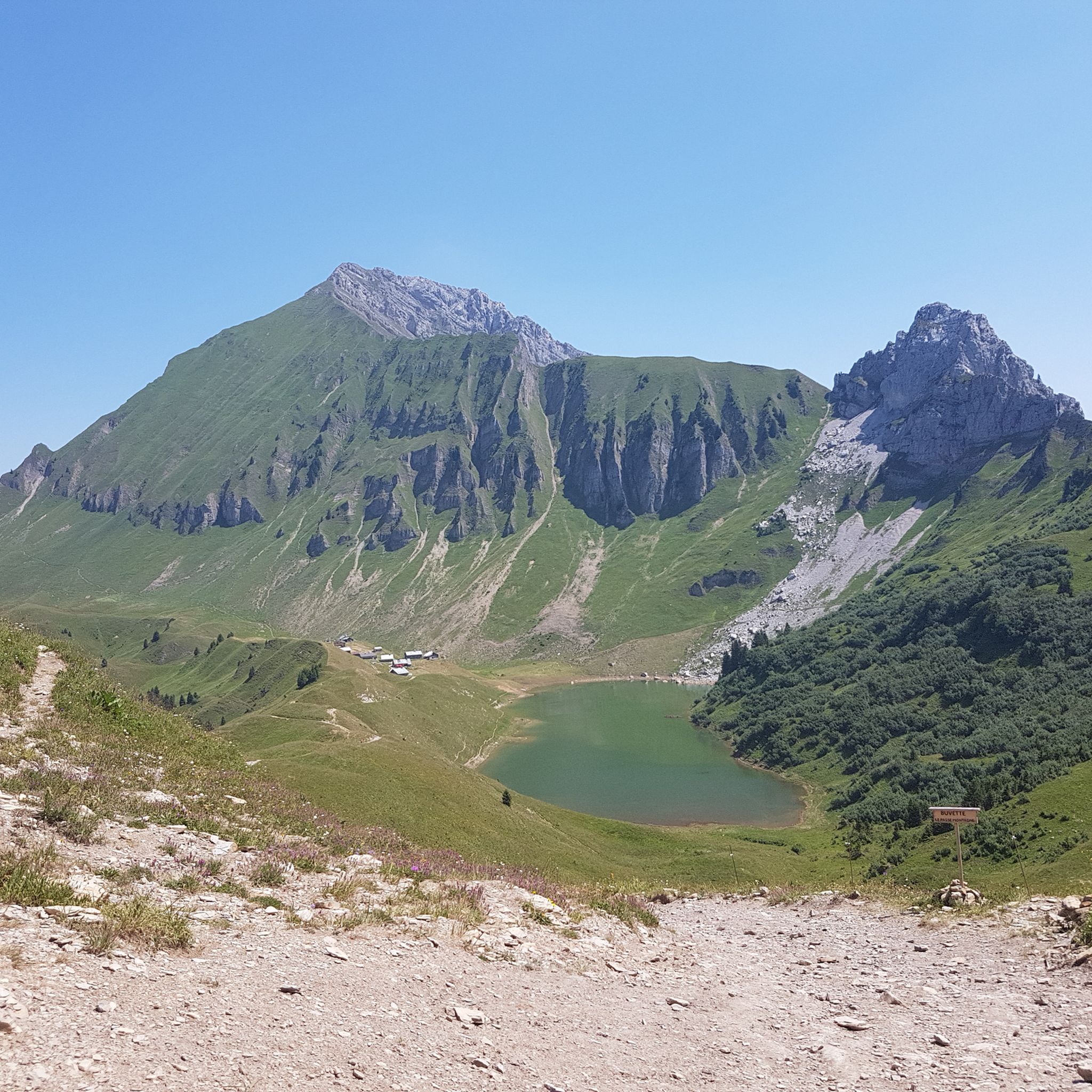
Lake Bénit is located at an altitude of 1,452 meters, on the northern slope (ubac) of the Bargy chain, in the Bornes1 massif. It is dominated to the south by the limestone wall of the Bargy chain from where the scree of the Col d'Encrenaz cirque spills out and delimits the south-west shore of the lake. The northwest bank corresponds to the slope of the old glacial basin while the east bank opens onto the valley of the Lac Bénit stream. In 1988, Father Arsène Bourgeaux, ethnographer, in a publication dedicated to the parish, indicated that the lake, “for the inhabitants of the Mont is considered as a sort of founding place where the identity of a population originates” 7. The lake was the subject of processions by the populations of Marnaz and Mont-Saxonnex, on Saint Claude's Day, in order to protect the villages from flooding. The lake benefited from developments in the early 1960s, notably with the raising of the lake level, which made it possible to double its surface area7. The inauguration took place on July 11, 19657. A mass was improvised by priest Claude Scherantz. Lake Bénit is the subject of many legends. One of them relates that the fairies came to bathe there and were at the origin of the production of butter and tomme in the town. A second legend says that an episcopal ring is found in the lake9. Following a deadly avalanche, the bishop of the diocese is said to have gone “in a grand procession” to bless the lake and to have thrown “his episcopal ring into the waves asking heaven that such a catastrophe never happens again”9. Another version says that the object was so heavy that it fell into the lake at the time of the blessing9. According to this legend, an avalanche emptied the lake and flooded Marnaz below4. Finally Alphonse Favre (en) reports that “this lake is due to a collapse in which a fir forest disappeared. As for the time, it can only be established in a very doubtful manner, by the fact that an old man from the village of Brezon assured, around 1845, that this event had happened in his father's youth. »1
0
0
Frequently Asked Questions
What are some of the most popular natural monuments around Le Reposoir?
Among the most popular natural monuments, visitors frequently highlight Fly Hole, a distinctive limestone arch offering impressive views for those comfortable with exposed trails. Another favorite is Arpenaz Waterfall, where you can stand in the pool beneath the impressive cascade. The Daney Cross also draws many for its panoramic views from a high point in the region.
Which natural monuments offer the best panoramic views?
For breathtaking panoramic views, consider visiting Daney Cross, which provides expansive vistas of the surrounding mountains and valleys. The Pic de Jallouvre also offers majestic views, especially from its summit. Additionally, the Col de la Colombière is renowned for its wide-ranging mountain views, and from Lac de Peyre, you can often glimpse the distant Mont Blanc massif.
Are there family-friendly natural monuments around Le Reposoir?
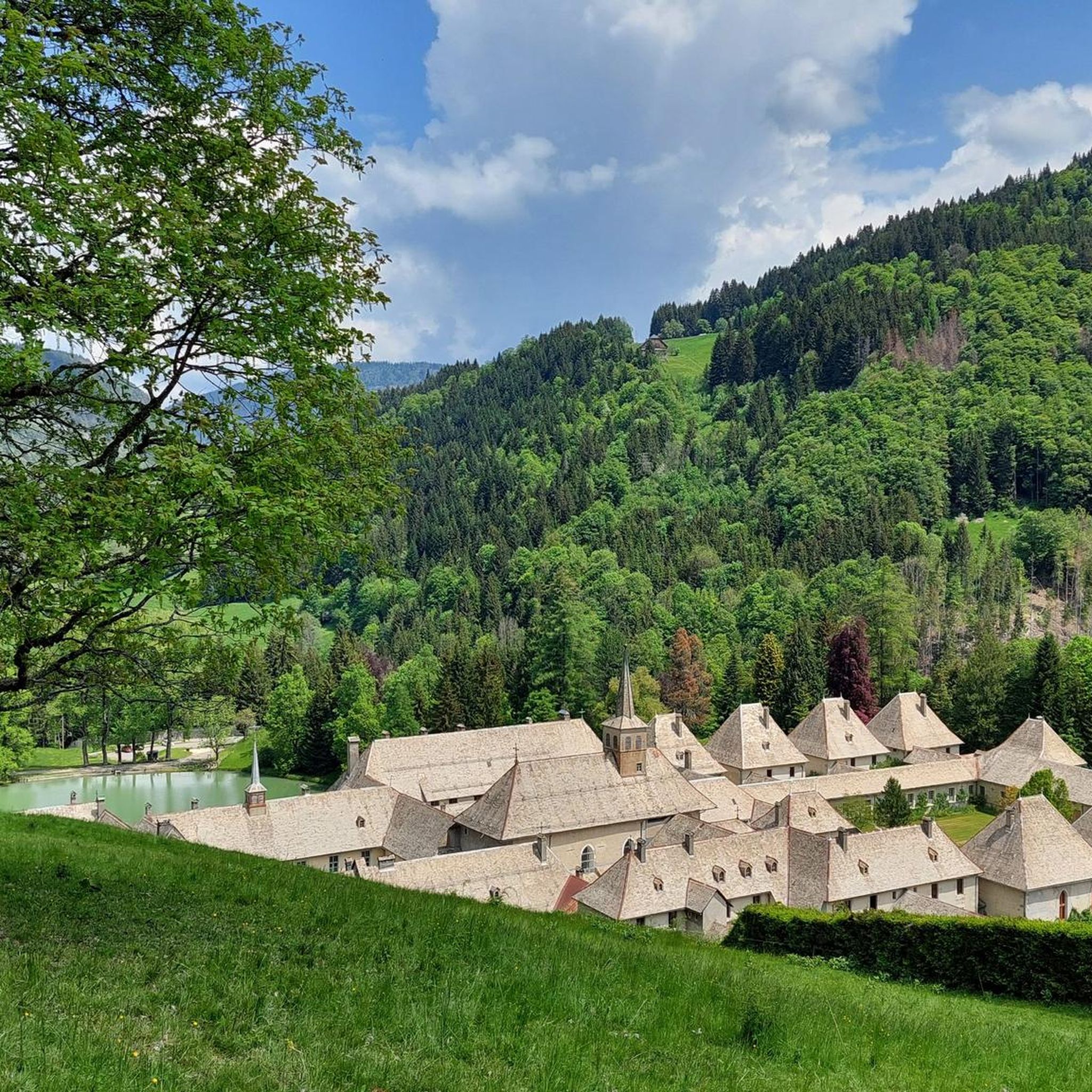
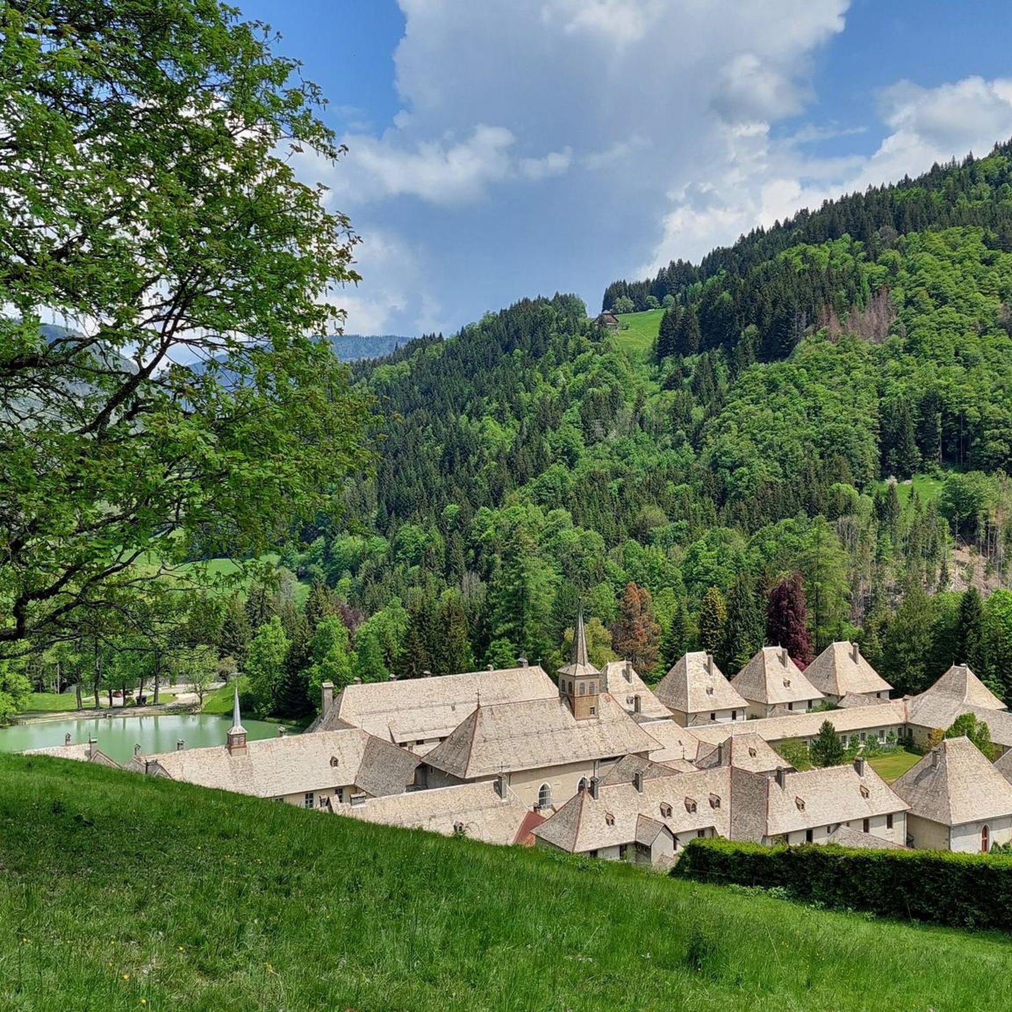
Yes, the Arpenaz Waterfall is considered family-friendly, offering a pleasant spot to relax and enjoy the natural beauty. Its pool allows for a refreshing experience in summer. For a tranquil setting, Lac du Carmel, situated at the foot of the historic Chartreuse du Reposoir, provides a peaceful environment with scenic views of Pointe Percée, suitable for a quiet family outing.
What unique geological features can I explore near Le Reposoir?
The region boasts several unique geological features. The Fly Hole is a natural limestone arch straddling two valleys, offering an impressive sight. The Montarquis Cave, accessible via hiking paths from the Col de la Colombière, is another intriguing formation sculpted by water erosion on limestone, providing opportunities for caving enthusiasts.
Are there any notable lakes or water features among the natural monuments?
Yes, the area features several beautiful water bodies. The Arpenaz Waterfall is a prominent and impressive cascade. You can also visit Lac Bénit, a lake with a rich history and local legends. Lac du Carmel offers a tranquil and picturesque setting at the foot of the Chartreuse du Reposoir, while Lac de Peyre, accessible via hiking trails, provides stunning alpine views.
What outdoor activities can I do near these natural monuments?
The natural monuments around Le Reposoir are excellent starting points for various outdoor activities. You can find numerous MTB trails, including challenging routes like the Enduro des Annes. For runners, there are several running trails, such as the Gramusset Refuge loop. Road cyclists can tackle routes like the Col de la Colombière loop, a classic Tour de France climb.
Are there specific hiking trails to reach these natural monuments?
Many natural monuments are accessible via hiking trails. Pointe Percée, the highest peak in the Aravis, offers challenging trails from Le Reposoir. The Col de la Colombière serves as a starting point for numerous paths traversing the Bargy range, leading to sites like Lac de Peyre and the Montarquis Cave. For a challenging ascent, the Pic de Jallouvre also involves a memorable hike.
What is the best time to visit the natural monuments around Le Reposoir?
The best time to visit largely depends on the activity. For hiking and exploring the higher peaks like Pointe Percée or the Fly Hole, late spring to early autumn (June to September) is ideal, as snow conditions can make trails significantly more challenging or inaccessible earlier in the season. Lower elevation sites like Arpenaz Waterfall can be enjoyed for longer periods.
Are there challenging natural monuments for experienced trekkers?
Experienced trekkers will find several challenging options. The ascent to Fly Hole is considered a must-do in the Aravis for those comfortable with exposed trails. The Pic de Jallouvre offers an epic adventure with grueling scree and challenging passages. Pointe Percée also provides demanding trails for experienced hikers seeking stunning alpine vistas.
Can I visit these natural monuments in winter?
Visiting in winter is possible but requires careful preparation and awareness of conditions. Higher altitude natural monuments like Fly Hole and Pointe Percée can have significant snow cover, making trails much more challenging and potentially dangerous due to steep slopes and avalanches. It's crucial to check weather and snow conditions beforehand and be adequately equipped for winter hiking.
Are the natural monuments around Le Reposoir dog-friendly?
While many trails in the French Alps are generally accessible to dogs, specific rules can vary by location, especially within protected natural areas or near livestock. It's always recommended to keep dogs on a leash to protect wildlife and ensure their safety on mountain paths. Check local signage or specific regulations for each natural monument you plan to visit.
Is parking available near the natural monuments?
Parking availability varies depending on the specific natural monument. Many trailheads leading to these sites, especially those starting from villages or mountain passes like the Col de la Colombière, typically have designated parking areas. However, during peak seasons, these can fill up quickly, so arriving early is advisable.
Most popular routes around Le Reposoir
Most popular attractions around Le Reposoir

Get inspired with the komoot mobile app


Explore more
Extend your search for the best caves by checking out these guides of the top ones around Le Reposoir:
