Top 5 Mountain Passes around Llívia
Best mountain passes around Llívia are found in a Spanish enclave within the French Pyrenees. This region is situated in a valley at the foot of the eastern Pyrenees' highest peaks, with the River Segre flowing through. Llívia serves as a gateway to several notable mountain passes and scenic routes in the surrounding Pyrenees, offering diverse terrain for outdoor activities. Its unique geographical position provides access to a range of mountain experiences.
Best mountain passes around Llívia
- The most popular…
Last updated: August 11, 2026
Col de la Perche (1,579 m)
Highlight • Mountain Pass
More information: quaeldich.de/paesse/col-de-la-perche
Translated by Google •
Tip by

Col du Calvaire (Font-Romeu)
Highlight • Mountain Pass
Translated by Google •
Tip by

Sign up now to discover places like this
Get recommendations on the best single tracks, peaks, & plenty of other exciting outdoor places.
Sign up for free
Coll d'Egat Ascent from Llívia via Estavar
Highlight (Segment) • Mountain Pass
Translated by Google •
Tip by

Fau Pass
Highlight • Mountain Pass
For me from Font-Romeau, it came from a descent.
There must be one with the same name near Grenoble, but at a lower altitude.
Translated by Google •
Tip by
Collado de Marcer
Highlight • Mountain Pass
Translated by Google •
Tip by

Sign up for free to discover even more mountain passes around Llívia.
Sign up for free
Already have an account?
Start today with a free account
Your next adventure awaits.
Login or Signup
Popular around Llívia



Tips from the Community


Well, starting from Font Romeu and breaking legs from Mont Louis
0
0

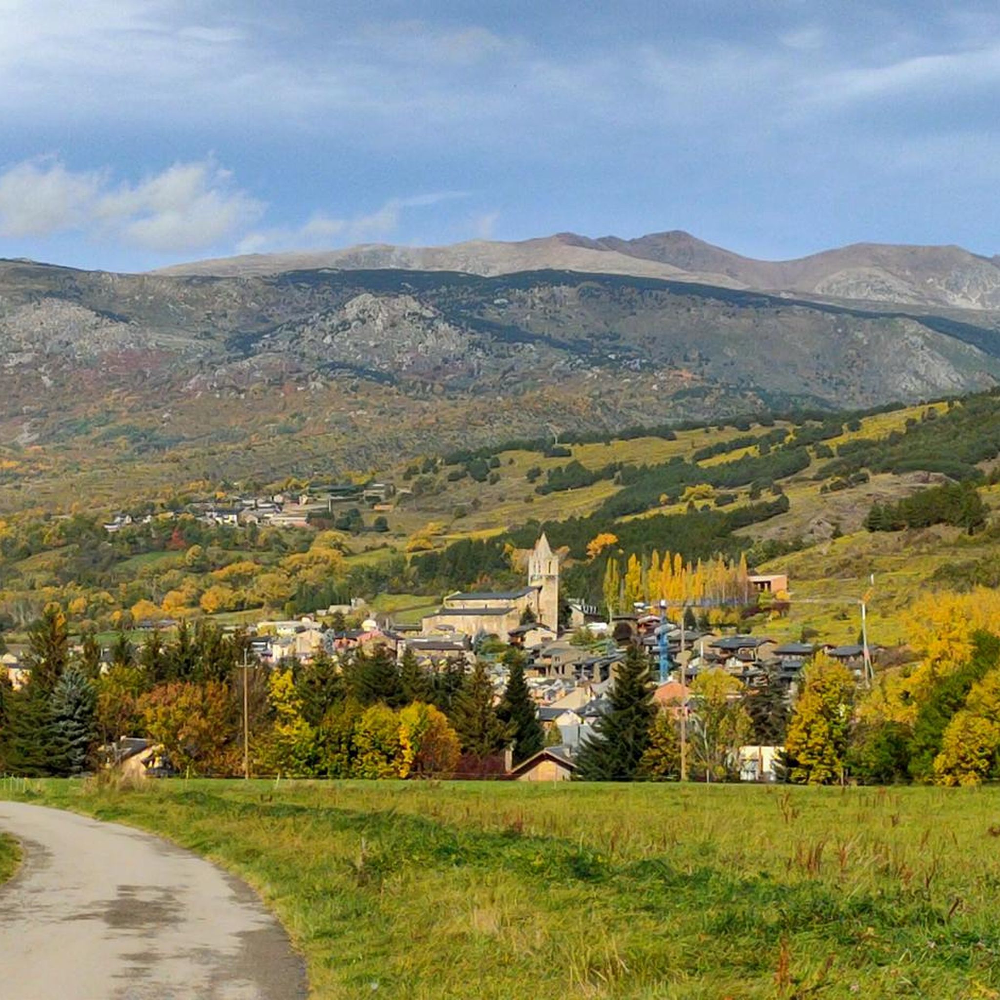
The Col de la Calvaire de Font Romeu is a mountain pass in French Cerdanya, next to the town and ski resort of Font Romeu. This port connects the Bolquère valley with the Cerdanya valley. The port is within the same town of Font Romeu, next to the station's ski lifts. There are many slopes to reach Col de la Calvaire: - the western slope that starts from Ur is approximately 16 km and crosses the town of Targasone and the Col d'Egat. It is a very steep climb along a road in perfect condition, although on holidays there is a lot of traffic. - The southern slope starts from Llívia and crosses Estavar and joins the previous one at the Col d'Egat. Unlike the first, the first section of the climb is very hard, with several horseshoe curves and with wonderful views of the entire Cerdanya and the Tosa d'Alp. - The eastern slope stops at Olette, and after approximately 28 km it reaches the top of the pass, passing through the town of Mont-Louis and Bolquère. It is a very steep climb, like the first, on a road in perfect condition but with a lot of traffic. I don't like going up here. - the eastern slope that starts from Olette and passes through the Col de la Perche, reaching the town of Font-Romeu and from there to the top. Of all the slopes, the one I like the most is the slope that starts from Llívia and crosses Estavar.
0
0

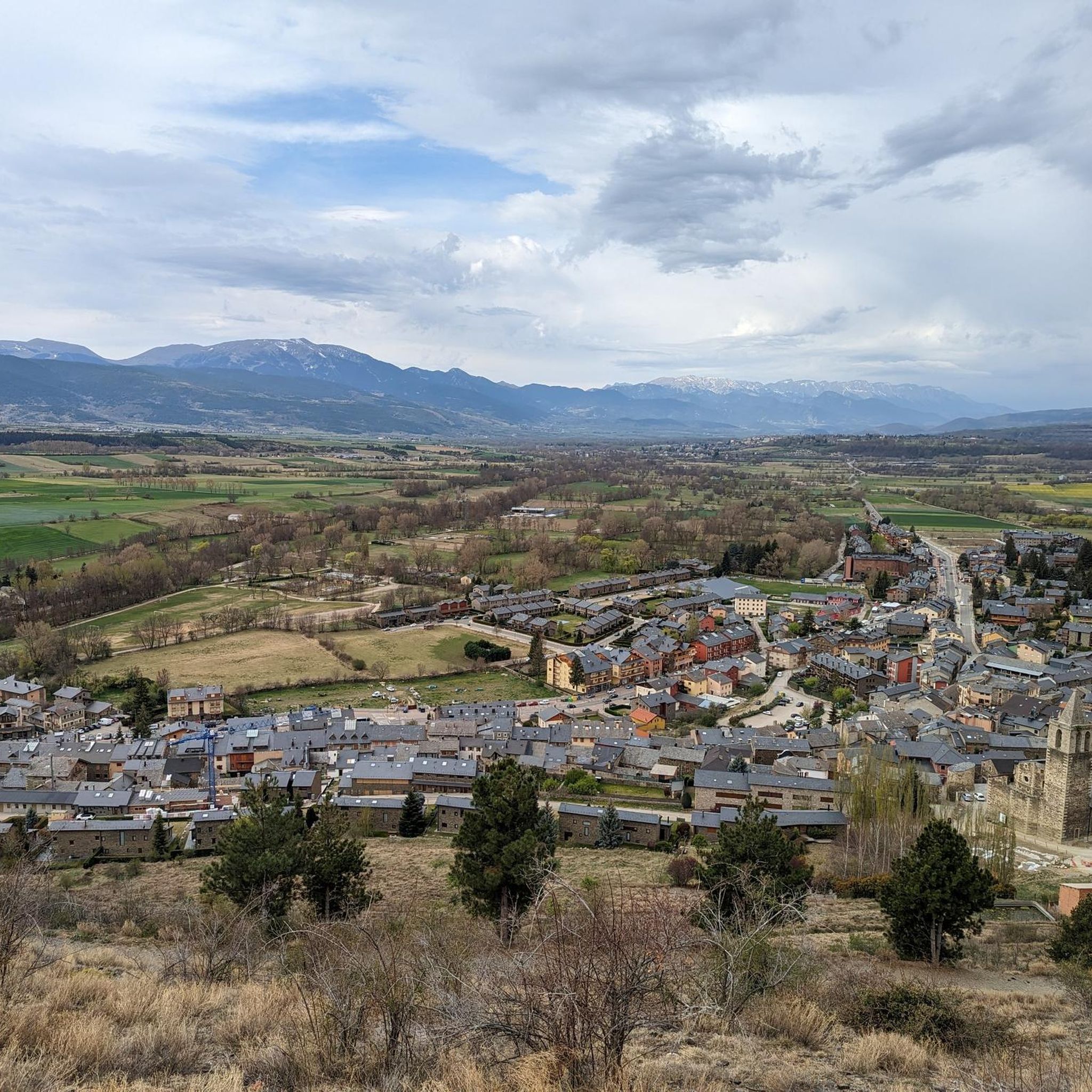
Culminating at 1,579 meters above sea level, the Col de la Perche can be climbed by four routes in total. Each of them includes relatively gentle slopes. At the top, the view of the surrounding area is splendid and rewards your efforts!
0
0

It's probably not the most spectacular pass in the Pyrenees, but it has its charms. Its position, in the middle of the Catalan Pyrenees natural park, makes it a privileged passage for admiring 360° of the mountains, valleys and plains of this protected area. If you pass by, take the time to look around for yourself and enjoy the view.
0
0
It is a mountain pass that connects Conflent with Cerdanya. It can be reached in a multitude of variants. For me there are 4 clear aspects: - Eastern slope - from Olette along the main road N116 - West slope - from Sallagosa on the main road N116 - West slope - from Sallagosa along the secondary road that crosses the Col de Llo and the town of Eyne - West slope - from Llivia crossing Estavar and the Col d'Egat. With some nuances, in general the 4 slopes are soft and long. The views from the port on both sides are beautiful, especially towards the Eyne ski resort. It must be taken into account that the two slopes that run along the N116 highway have a lot of traffic, with motorcycles and trucks.
1
0
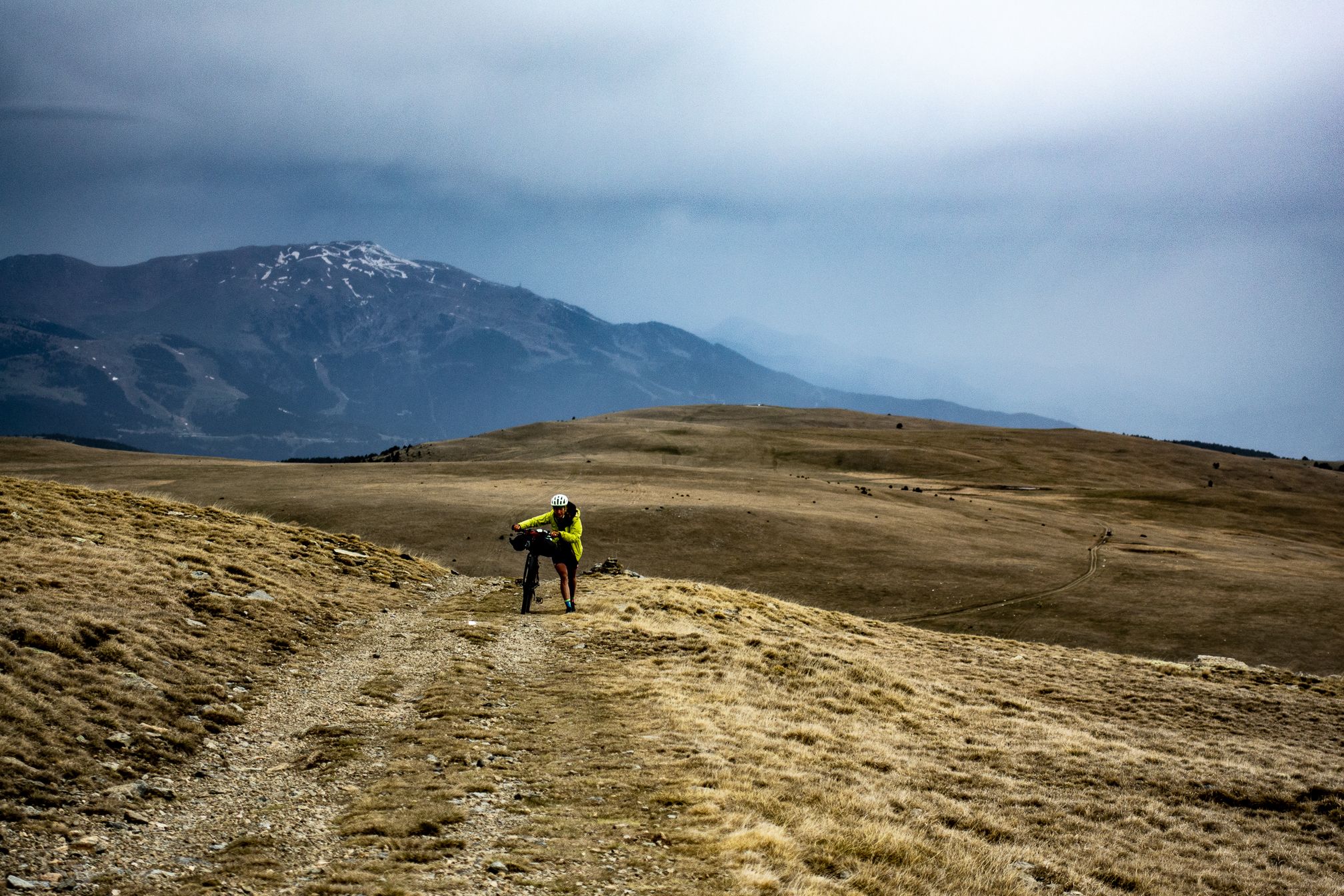
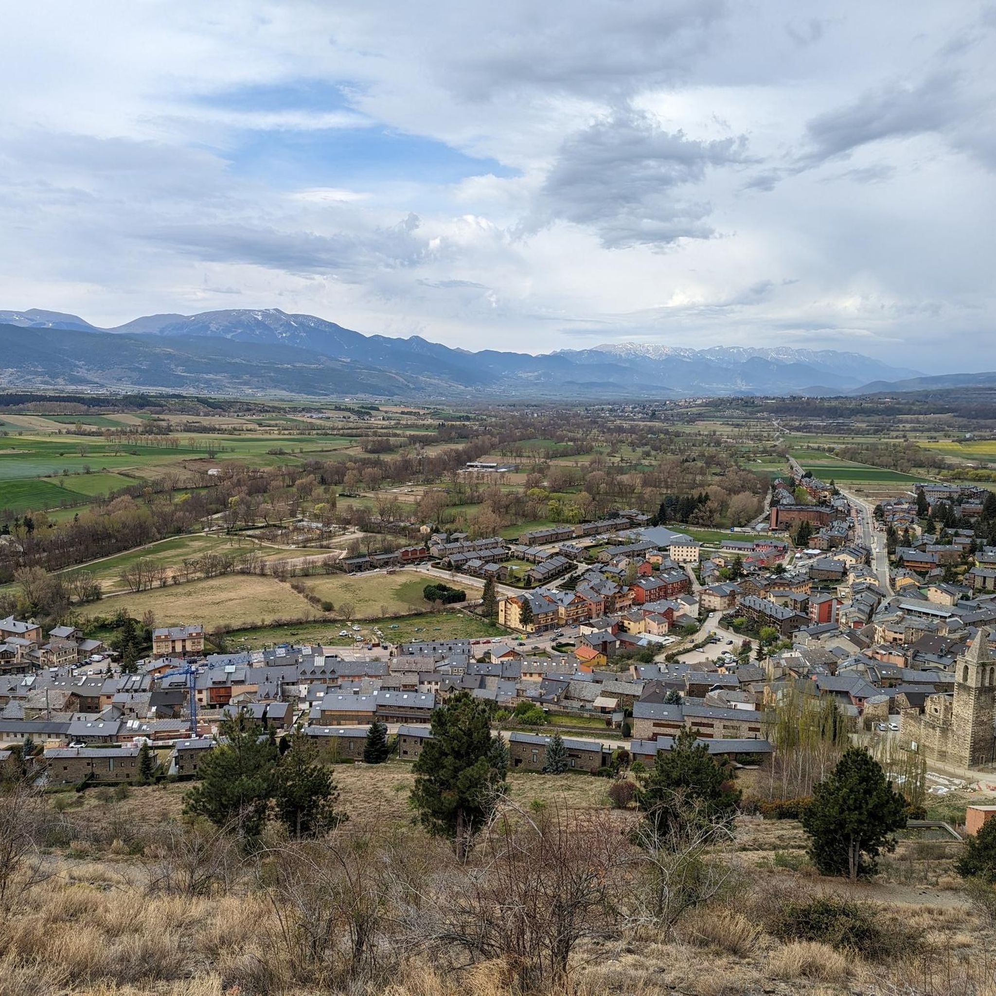
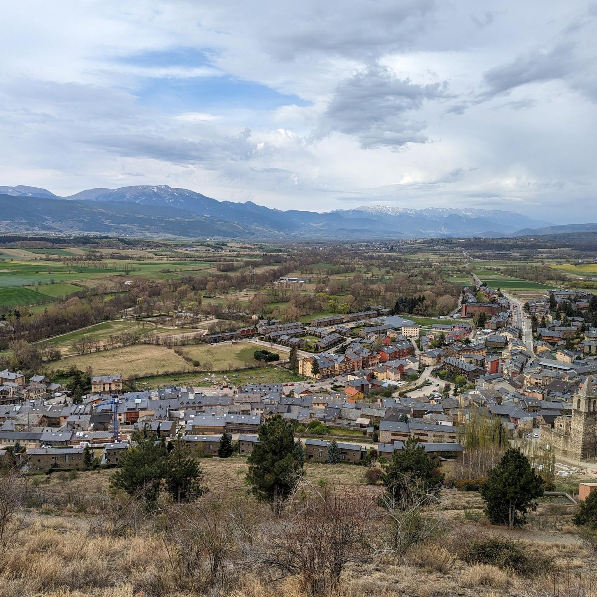
The climb to the Coll d'Egat from Llivia is the most beautiful and hardest slope of this pass, which in turn is also part of the climb to the Col du Calvaire. It is a very open section, an authentic balcony of Cerdanya with beautiful views of the Spanish area and the Tessa d'Alp. It is usually very windy and has several kilometers above 8%. Very rough but very wide road. Without a doubt, a "must" of Cerdanya.
0
0

Very nice views towards the two valleys
0
0
Frequently Asked Questions
What are some of the most scenic mountain passes near Llívia?
The region around Llívia offers several passes with impressive views. Col de la Perche (1,579 m) provides 360° panoramas of the mountains, valleys, and plains within the Catalan Pyrenees natural park. Another excellent choice is Collado de Marcer, situated at 1,946 meters on the French-Spanish border, offering fantastic views towards the Tossa d'Alp.
Are there challenging mountain passes for experienced cyclists or hikers near Llívia?
Yes, for those seeking a challenge, the Coll d'Egat Ascent from Llívia via Estavar is a demanding climb. It features steep sections, often above 8% gradient, and is known as an 'authentic balcony of Cerdanya' with beautiful views. This ascent is also part of the climb to Col du Calvaire (Font-Romeu), which itself involves steep sections, especially from the southern slope starting near Llívia.
What outdoor activities can I do around the mountain passes near Llívia?
The area is excellent for various outdoor activities. You can enjoy road cycling, mountain biking, and hiking. For specific routes, explore the Mountain Hikes around Llívia guide for trails like the challenging Peak Carlit loop, or the Road Cycling Routes around Llívia guide for scenic rides.
What is the best time of year to visit the mountain passes around Llívia?
The best time to visit the mountain passes around Llívia for hiking and cycling is generally from late spring to early autumn (May to October). During these months, the weather is typically milder, and the passes are clear of snow, offering optimal conditions for outdoor activities and enjoying the panoramic views. Winter brings snow, making some passes suitable for winter sports but less accessible for general hiking or cycling.
Are there any mountain passes near Llívia that are particularly good for road cycling?
Many passes in the region are popular with road cyclists. The southern slope to Col du Calvaire (Font-Romeu), starting from Llívia and passing through Estavar, is a favorite among locals for its challenging initial section and wonderful views of Cerdanya. The Col de la Perche (1,579 m) also offers relatively gentle slopes, making it accessible for various cycling levels.
What kind of views can I expect from the mountain passes in the Llívia area?
From the mountain passes around Llívia, you can expect diverse and expansive views. Many offer panoramic vistas of the Eastern Pyrenees, including the Cerdanya region, valleys, and plains. For instance, the Col de la Perche (1,579 m) provides 360° views of the Catalan Pyrenees natural park, while the Coll d'Egat Ascent offers an 'authentic balcony' perspective of the Cerdanya and the Tossa d'Alp.
Are there any easy or family-friendly mountain walks near Llívia?
While some passes involve challenging climbs, the region also offers more accessible options. The ascent to Col de la Perche (1,579 m), for example, is described as having relatively gentle slopes, making it suitable for a less strenuous outing. For general family-friendly walks, consider exploring the Mountain Hikes around Llívia guide, which includes moderate routes like the Lac de la Coumasse loop.
What is the significance of Llívia's location regarding mountain passes?
Llívia's unique geographical position as a Spanish enclave within the French Pyrenees makes it a natural gateway to numerous mountain passes and scenic routes. It is nestled in a valley at the foot of the eastern Pyrenees' highest peaks, with the River Segre flowing through. This location provides direct access to a variety of mountain experiences, connecting different valleys and regions within the Pyrenees.
Can I find information about cycling routes over Pyrenean mountain passes from Llívia?
Yes, the Llívia area is well-regarded for cycling. You can find detailed cycling routes, including those over mountain passes, in the Cycling around Llívia and Road Cycling Routes around Llívia guides. For broader information on Pyrenean mountain passes for biking, you might also find resources on external sites like visit-occitanie.com.
Are there any notable natural features or landmarks near the mountain passes?
Beyond the passes themselves, the region is rich in natural beauty. The area is part of the Catalan Pyrenees natural park, offering views of the Carlit massif with its 27 lakes, and peaks like Pic dels Moros and Pic Carlit. Many passes, such as Col de la Perche (1,579 m), provide excellent viewpoints to appreciate these features.
What do visitors particularly enjoy about the mountain passes around Llívia?
Visitors frequently appreciate the stunning panoramic views offered by many passes, such as the 360° vistas from Col de la Perche (1,579 m). The challenging climbs and scenic routes, like the Coll d'Egat Ascent, are also highly valued by cyclists and hikers. The overall natural setting and the opportunity for diverse outdoor activities in the Pyrenees are major draws.
Are there any passes that offer views of both France and Spain?
Yes, Collado de Marcer is located directly on the border between France and Spain at 1,946 meters above sea level, providing fantastic views that encompass both sides of the frontier, including the Tossa d'Alp. Similarly, the Coll d'Egat Ascent offers beautiful views of the Spanish area of Cerdanya.
Most popular routes around Llívia
Most popular attractions around Llívia

Get inspired with the komoot mobile app


Explore more
See even more epic mountain passes by checking out these guides around Llívia:
