Top 6 Mountain Passes around Galdakao
Best mountain passes around Galdakao offer diverse terrain for outdoor activities. Galdakao is situated in the Ibaizabal river valley, surrounded by mountain areas such as Monte Ganguren, Monte Pagasarri, and Monte Mandoia. These areas provide significant elevation changes and scenic vistas, making them popular for hiking and mountain biking. The region's natural landscape features forests, rocky outcrops, and historical elements like "Iron Belt" bunkers.
Best mountain passes around Galdakao
- The most popular mountain passes is Pass Aretxabalagana, a mountain_pass…
Last updated: July 1, 2026
Alto de Muniketa (Montecalvo)
Highlight • Mountain Pass
Translated by Google •
Tip by

Alto de Sarasola
Highlight • Mountain Pass
Translated by Google •
Tip by

Sign up now to discover places like this
Get recommendations on the best single tracks, peaks, & plenty of other exciting outdoor places.
Sign up for free
Pass Aretxabalagana
Highlight • Mountain Pass
Translated by Google •
Tip by

Bikotx Gane Pass (565 m)
Highlight • Mountain Pass
Translated by Google •
Tip by
ColladoPastorekorta
Highlight • Mountain Pass
Translated by Google •
Tip by

Sign up for free to discover even more mountain passes around Galdakao.
Sign up for free
Already have an account?
Start today with a free account
Your next adventure awaits.
Login or Signup

Tips from the Community

Steep road, well developed, therefore also down a pleasure
0
0

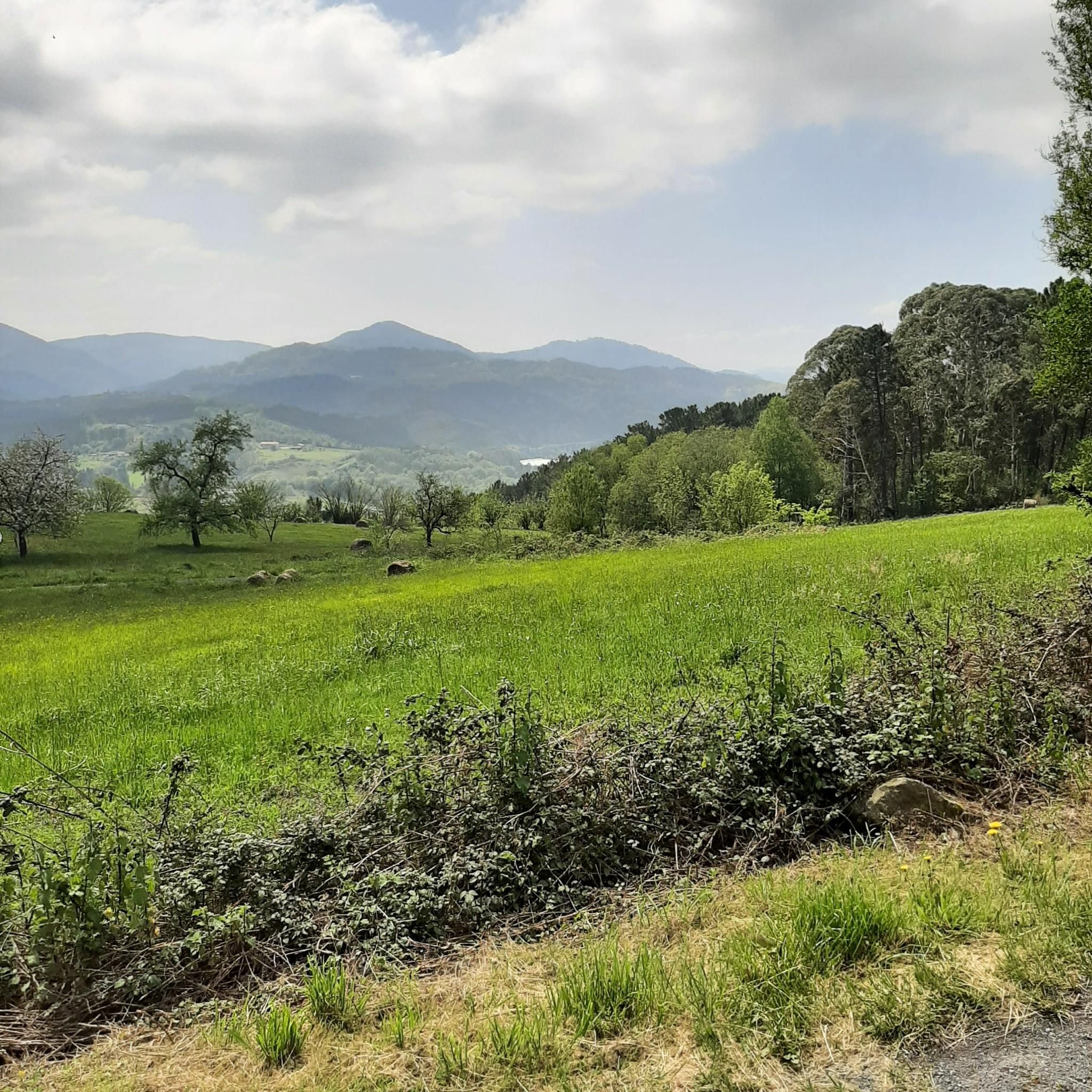
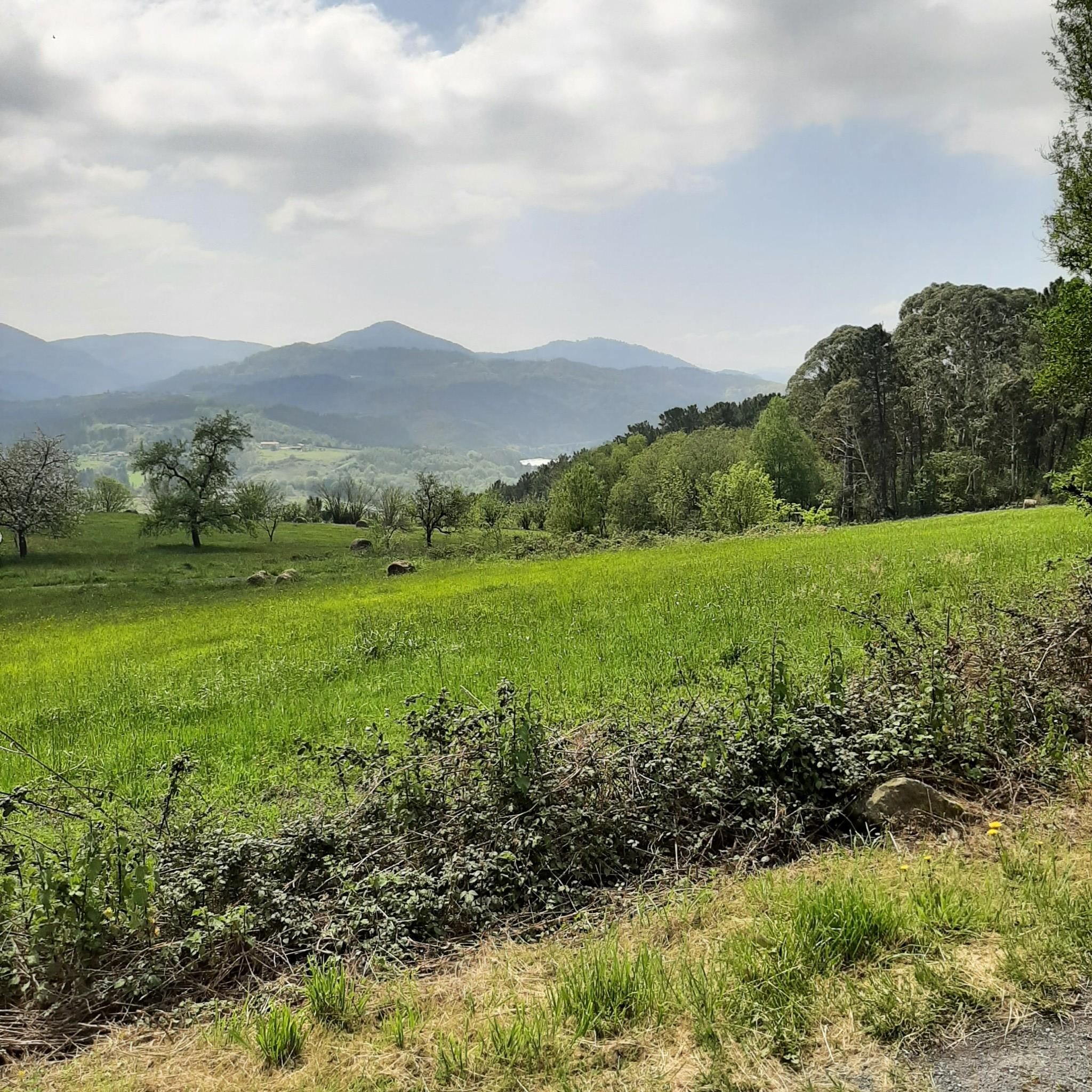
beautiful landscapes of the Basque Country
0
0

Continuing with the comment, the climb up the Orozko face is gentler the first few kilometres, but the last 3 kilometres have a gradient of 9% with ramps of 13%.
1
0

A delightful place, a meadow full of very peaceful cows, invites you to sit down and forget about everything.
0
0

The BI-3524 regional highway connects the towns of Ugao-Miraballes and Artea, crossing the municipality of Zeberio. It is a conventional two-way road with a variable road width of about six meters and has a winding layout, with very tight curves. The section of road on which action has been taken begins before reaching the Olatxu neighborhood, in Zeberio, P.K. 15+800, and ends at the station. 26+060, coinciding with the intersection with the BI-3513 highway, in the municipality of Artea. There are two sections of this road transferred to the municipalities in which no action has been taken; a section of 840 meters in the Olatxu neighborhood and another of 1,300 meters in the urban center of Zubialde.
0
0

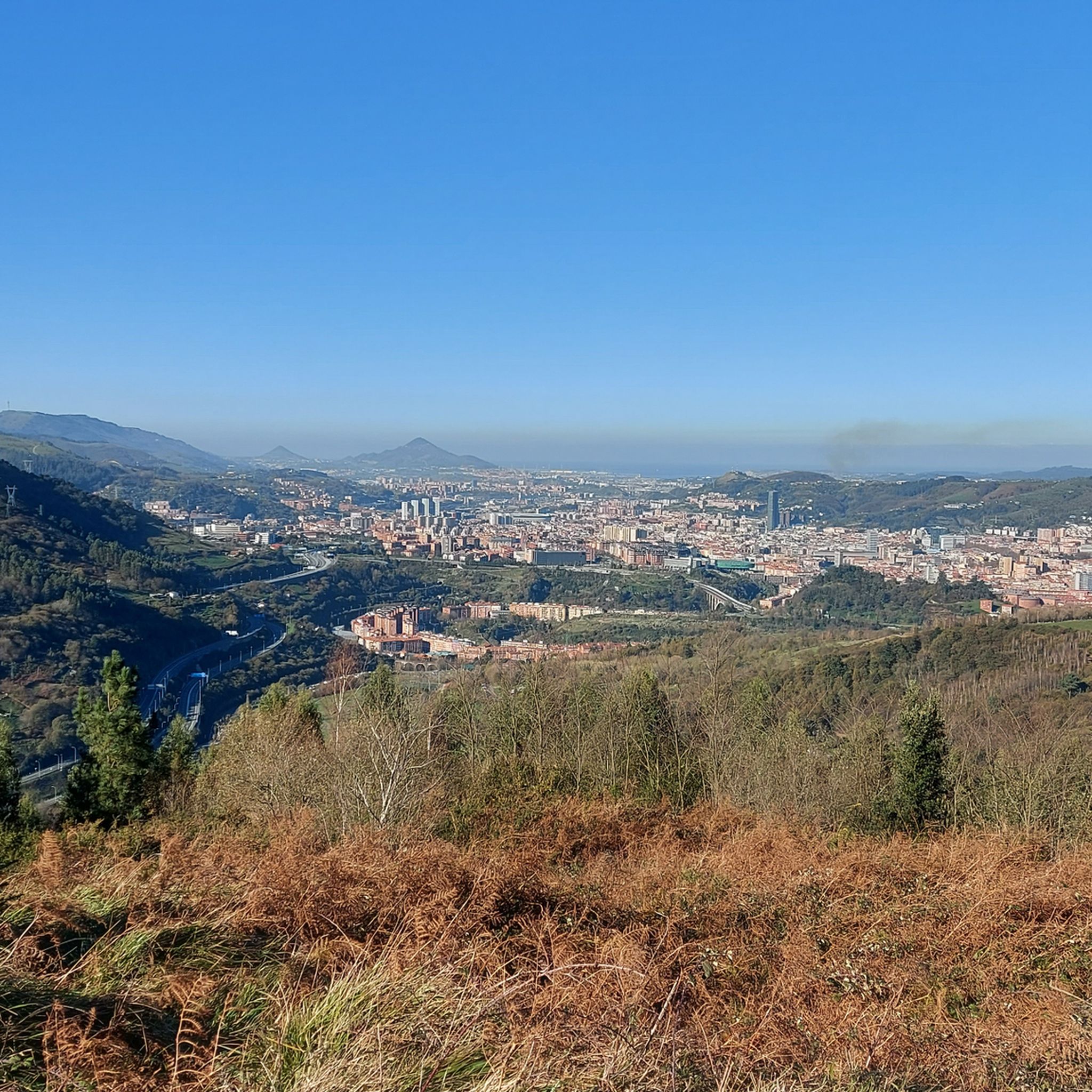
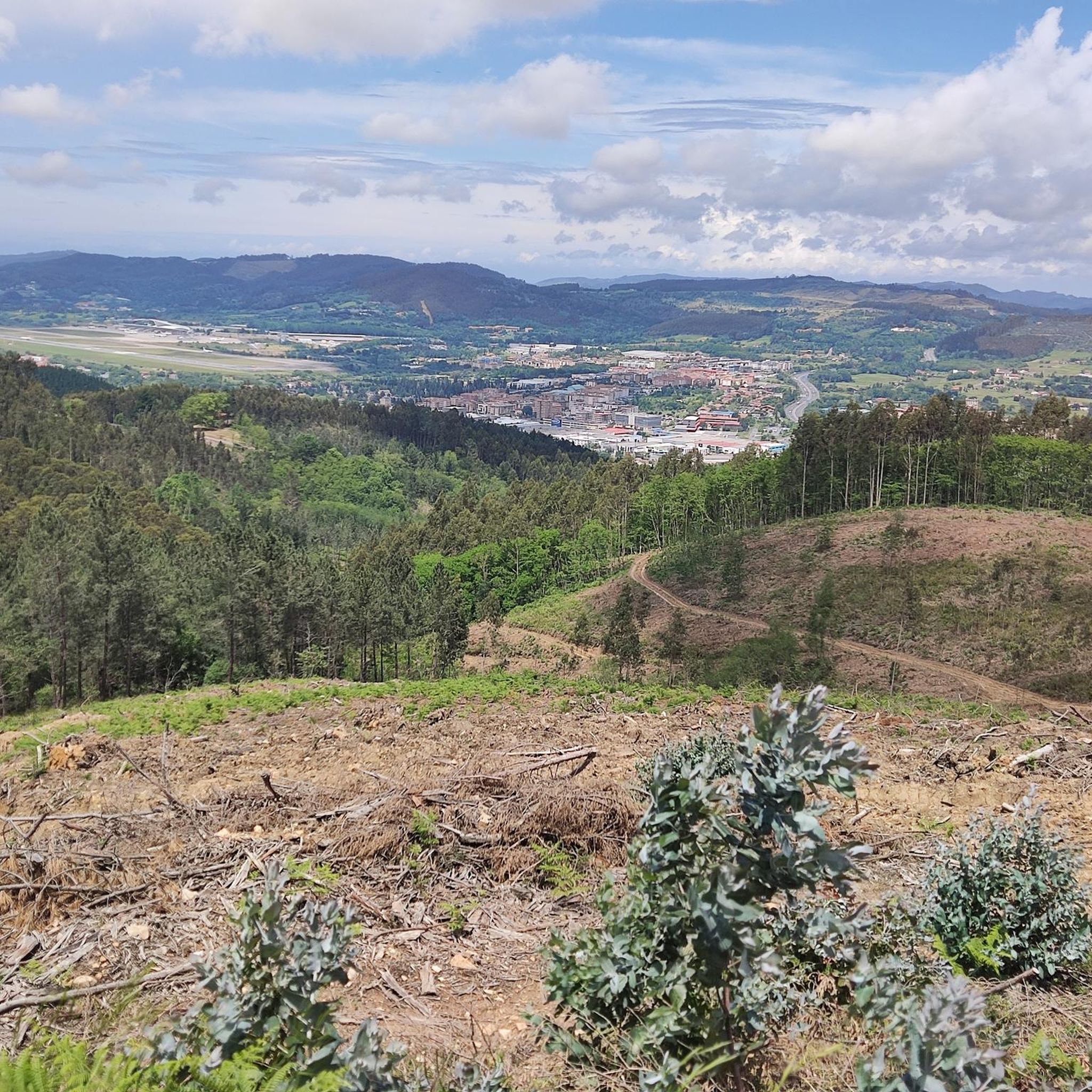
Montecalvo is located at an altitude of 381 meters, offering impressive views of the sea and Urdaibai on one side and Duranguesado on the other. The Muniketa road was the main communication route south through Durango until 1848, when the Autzagane road was improved.
1
0

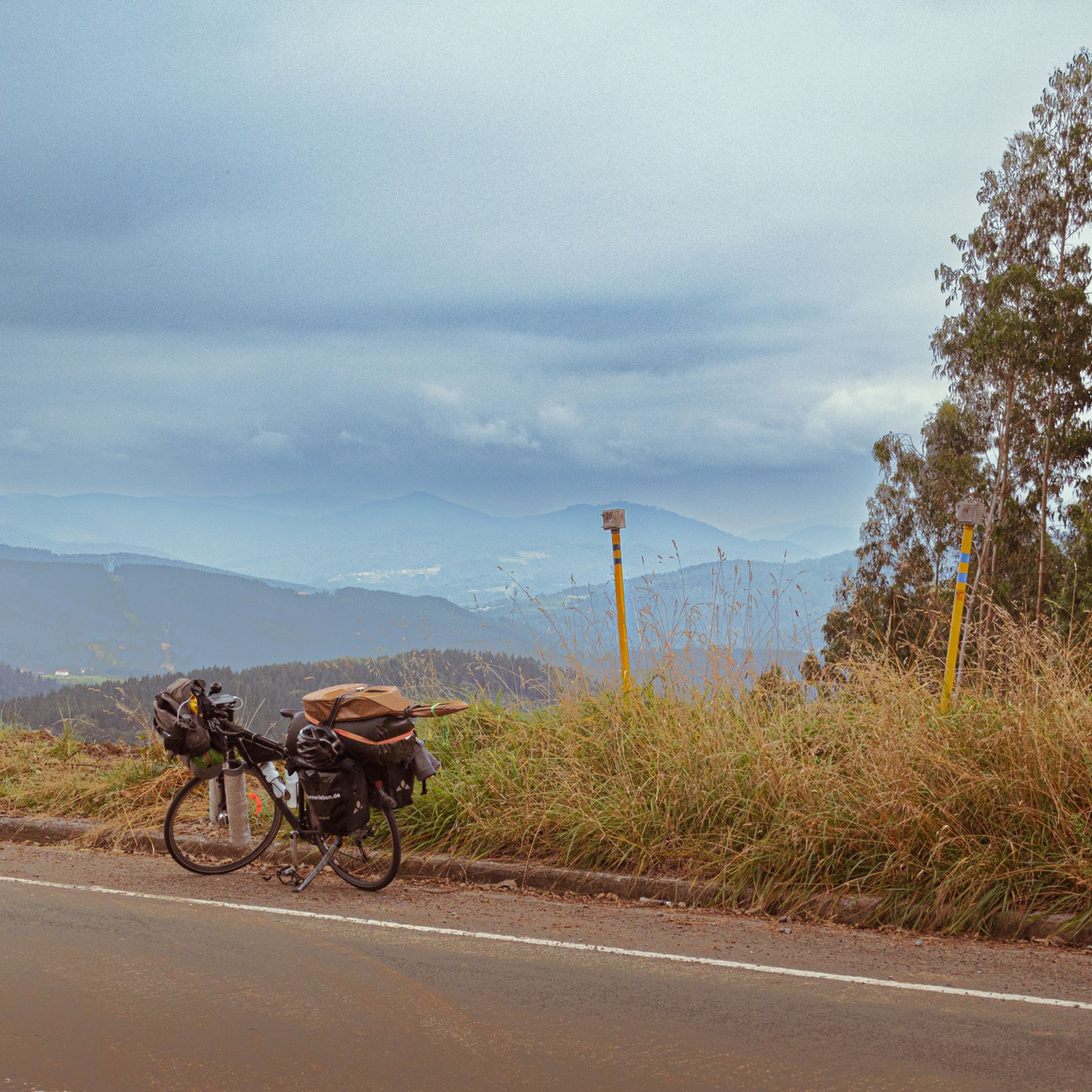
Mythical place for Biscayan cyclists, the scene of endless races of all categories!
0
0
One of the most feared ports in the province of Bizkaia and which leaves from the center of Artea. Most of the climb, there are ramps that go from 10/12%, where of the 4km as a whole, only the first one is more relaxed. Mind you, you can't miss it!
1
0
Frequently Asked Questions
What are some of the most scenic mountain passes around Galdakao?
For breathtaking views, consider Alto de Muniketa (Montecalvo), which offers impressive panoramas of the sea, Urdaibai, and Duranguesado. Monte Ganguren also provides remarkable panoramic views, including the coast and the peaks of Durangaldea, while Monte Pagasarri is renowned for its sweeping vistas of Bilbao and the surrounding Basque countryside.
Are there mountain passes suitable for cycling near Galdakao?
Yes, several passes are popular with cyclists. Pass Aretxabalagana is a well-known cycling route, serving as the highest point between Gernika and Larrabetzu. Alto de Sarasola is considered a mythical spot for Biscayan cyclists, known for its winding layout. For more challenging rides, Bikotx Gane Pass (565 m) offers ramps up to 10-12%.
What kind of natural features can I expect to see on mountain passes around Galdakao?
The region boasts diverse natural landscapes. Monte Ganguren features repopulations of Monterey pine and offers views of both river valleys stretching towards the sea. Monte Pagasarri has varied ecosystems from lush forests to rocky outcrops, home to diverse flora and fauna. Monte Mandoia is characterized by complex terrain, diverse forest plantations, and pockets of beech and holm oak groves. You might also find peaceful meadows, like at ColladoPastorekorta.
Are there historical landmarks or sites of interest along the mountain passes?
Yes, the area has historical significance. Monte Ganguren's slopes contain bunkers and trenches from the "Iron Belt," a line of fortifications from the Spanish Civil War. Historically, a hermitage dedicated to Santa Marina existed on its summit. Alto de Muniketa (Montecalvo) was historically the main communication route south through Durango until 1848.
What outdoor activities can I do near these mountain passes?
The mountain areas around Galdakao are excellent for various outdoor activities. You can enjoy extensive hiking and mountain biking routes on Monte Ganguren, Monte Pagasarri, and Monte Mandoia. For specific running trails, you can explore options like the "Lekuekotorrea loop from Usansolo" or "The Nursery loop from Zuhatzu" found in the Running Trails around Galdakao guide. For road cycling, routes like "Climb From Goikoeleixalde – Butrón Castle loop from Zuhatzu" are available in the Road Cycling Routes around Galdakao guide.
Are there family-friendly hiking options around Galdakao's mountain passes?
While specific 'family-friendly' categories aren't always listed for passes, Monte Pagasarri offers trails suitable for various fitness levels and features a recreational area. The presence of peaceful meadows, such as at ColladoPastorekorta, can also make for pleasant, less strenuous stops during a hike.
What is the best time to visit the mountain passes near Galdakao?
The region's mountain passes are generally enjoyable throughout the year for outdoor activities. Spring and autumn offer pleasant temperatures for hiking and cycling, with vibrant foliage or blooming flora. Summer is also popular, though it can be warmer. Winter can bring a different kind of beauty, but some routes might be more challenging due to weather conditions.
Where can I find food or refreshments near the mountain passes?
Monte Pagasarri features a small mountain refuge near its summit that includes bar and restaurant services, making it a convenient stop for refreshments. Additionally, Alto de Muniketa (Montecalvo) has the Astei agrotourism, a rehabilitated farmhouse with restaurant service nearby.
What are some challenging mountain passes for experienced hikers or cyclists?
For those seeking a challenge, Bikotx Gane Pass (565 m) is known as one of the most feared ports in Bizkaia, featuring ramps of 10-12%. Monte Mandoia also offers numerous routes for hiking and mountaineering with significant elevation gains, ideal for moderate to hard mountain bike rides and hikes.
Can I find circular hiking routes around the mountain passes?
Yes, Monte Mandoia, for instance, offers numerous circular routes for hiking and mountaineering. These often start from areas like Usansolo and can lead past the Lekubaso reservoir and to various collados (mountain passes/cols), providing varied terrain and rewarding scenery.
What do visitors enjoy most about the mountain passes around Galdakao?
Visitors frequently appreciate the stunning panoramic views, the diverse terrain for hiking and cycling, and the peaceful natural environments. The historical elements, such as the "Iron Belt" bunkers on Monte Ganguren, also add an interesting dimension to the outdoor experience. The community has contributed 13 upvotes and 3 photos, highlighting the area's appeal.
Most popular routes around Galdakao
Most popular attractions around Galdakao

Get inspired with the komoot mobile app


Explore more
See even more epic mountain passes by checking out these guides around Galdakao:
