Top 6 Mountain Passes around Vistabella Del Maestrat
Best mountain passes around Vistabella Del Maestrat are found within the Penyagolosa Massif, a region characterized by its mountainous terrain. Vistabella Del Maestrat, situated at an altitude of 1,246 meters, is the highest municipality in the Valencian Community. The area features pine forests, rocky landscapes, and significant elevation changes, providing routes for outdoor activities. The region also holds cultural significance, including the Sanctuary of Sant Joan de Penyagolosa.
Best mountain passes around Vistabella Del Maestrat
- The most popular mountain passes…
Last updated: July 15, 2026
Puertomingalvo Pass
Highlight • Mountain Pass
Translated by Google •
Tip by

Port del Collao (Coll del Vidre)
Highlight • Mountain Pass
In the classic cycling stage of going up to Vistabella (a stone's throw from the sky), you always have to return to Atzeneta tasting the Vidre from behind. Fortunately, …
Translated by Google •
Tip by
Sign up now to discover places like this
Get recommendations on the best single tracks, peaks, & plenty of other exciting outdoor places.
Sign up for free
Xodos / Chodos Pass (Atzeneta Side)
Highlight (Segment) • Mountain Pass
The port that goes up to Xodos/Chodos is one of the great colossi of the province of Castellón, with its more than 16 kilometers in length and almost 700 …
Translated by Google •
Tip by
Puerto El Remolcador
Highlight • Mountain Pass
Showing Translation
Tip by

Coll de la Bassa (Atzeneta Side)
Highlight (Segment) • Mountain Pass
Leaving from Atzeneta in the direction of La Pelejaneta we find the Coll de la Bassa, a tack of only 2 km that culminates in the parched pond at …
Translated by Google •
Tip by
Sign up for free to discover even more mountain passes around Vistabella Del Maestrat.
Sign up for free
Already have an account?
Start today with a free account
Your next adventure awaits.
Login or Signup
Popular around Vistabella Del Maestrat
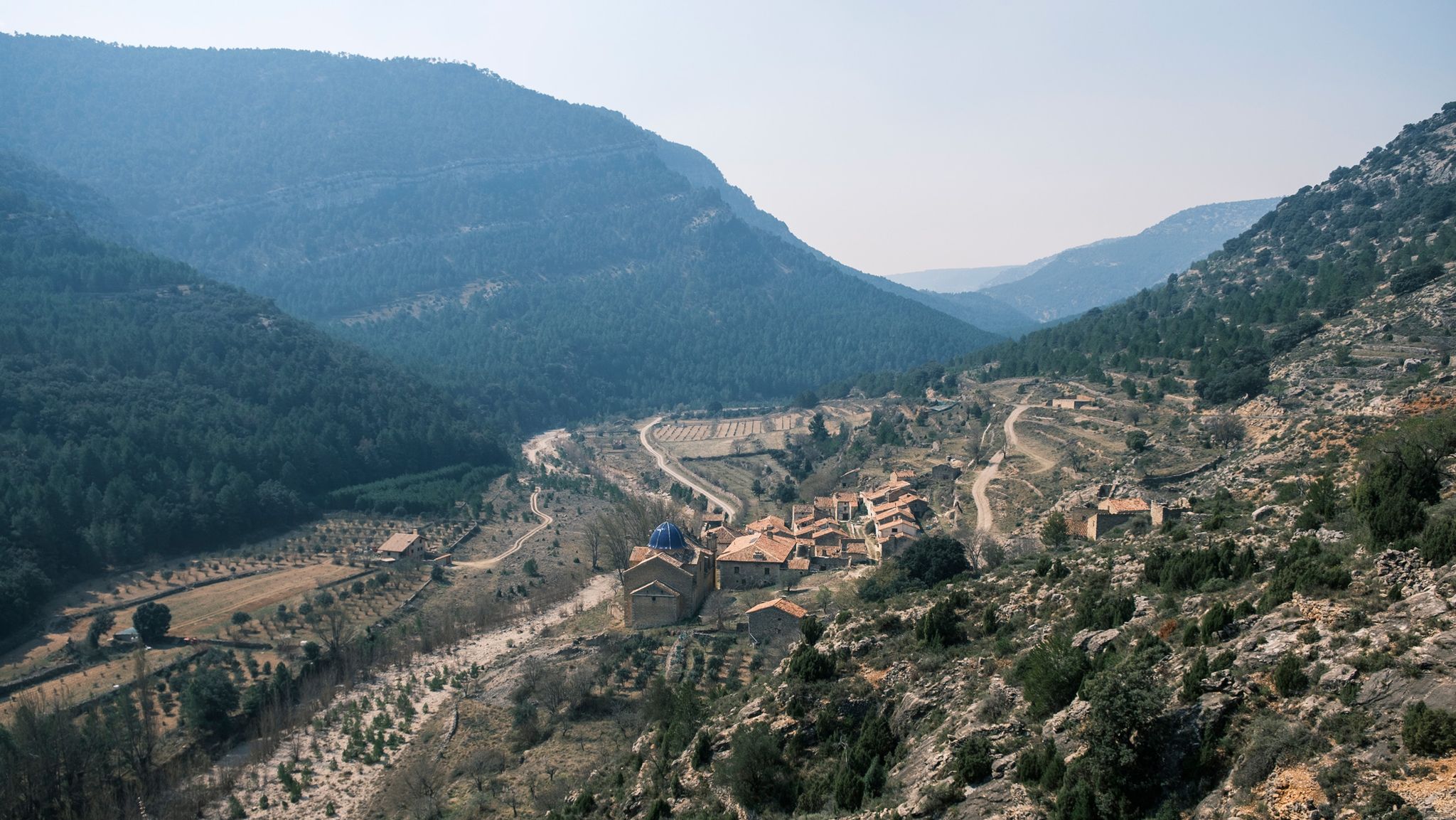
Four Mediterranean nature parks – Gran Vertical 2023
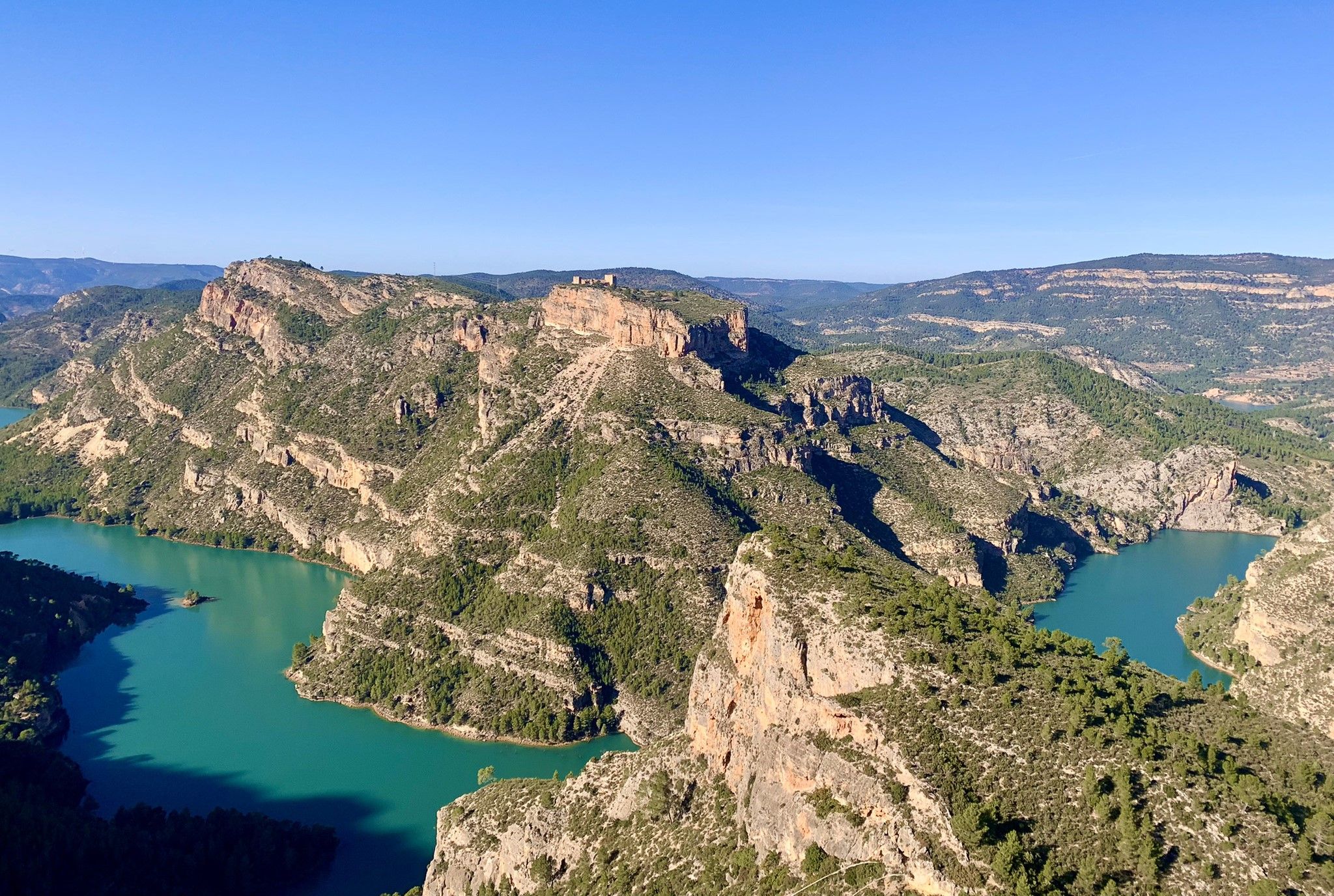
A journey full of discoveries – the Valencia region on foot (GR7)
Road Cycling Routes around Vistabella Del Maestrat
Running Trails around Vistabella Del Maestrat
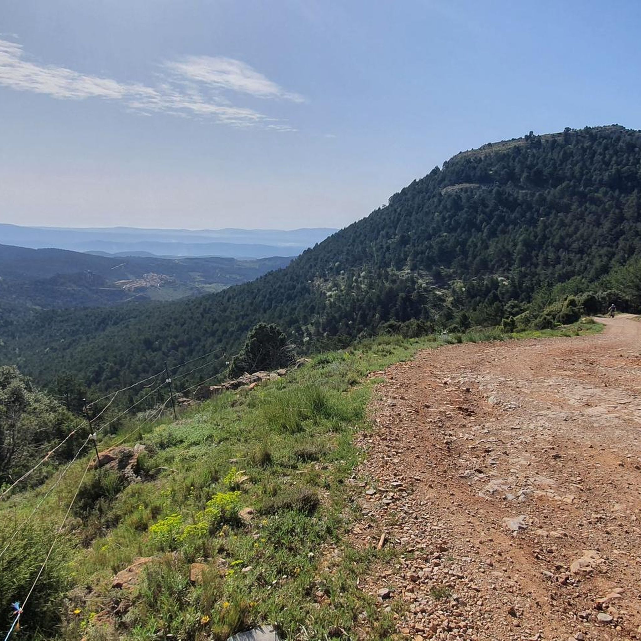
Hiking around Vistabella Del Maestrat
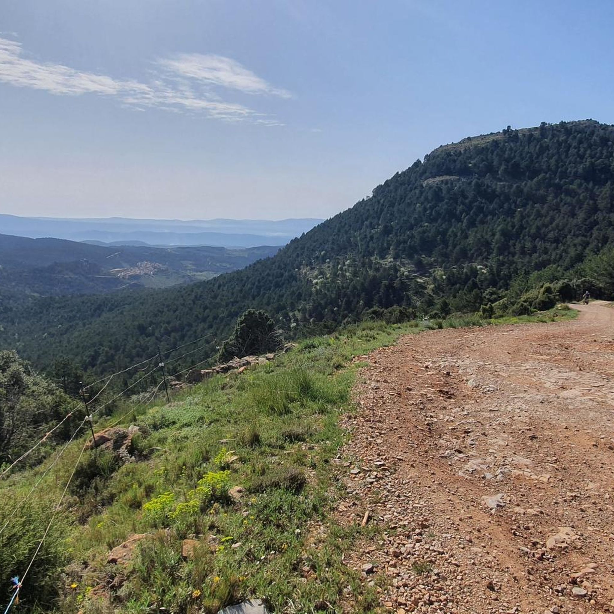
MTB Trails around Vistabella Del Maestrat
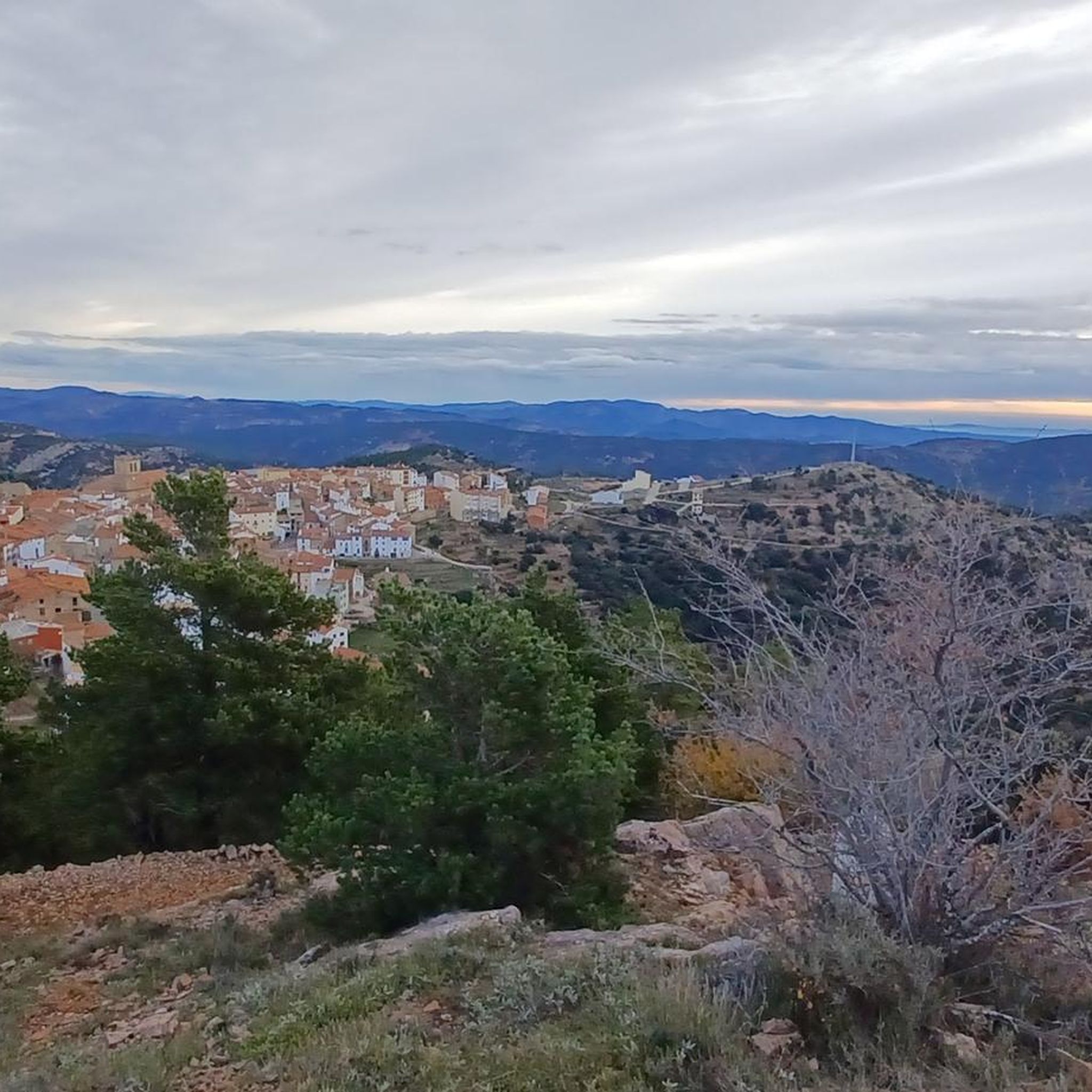
Cycling around Vistabella Del Maestrat

Gravel biking around Vistabella Del Maestrat


Tips from the Community

El Puerto El Remolcador is located deep in the mountains of Castellón. The ascent takes place with views of a spectacular landscape of limestone cliffs and with a marked rural character among dry orchards.
1
0

Good views.
1
0

https://www.dandolotodo09.com/2018/07/puertos-la-bassa-por-atzeneta-apm-15.html Leaving from Atzeneta in the direction of La Pelejaneta we find the Coll de la Bassa, a tack of only 2 km that culminates in the parched pond at the top that gives the port its name. The road is fairly firm but with little shoulder for cyclists. With a single powerful ramp at 9% maximum slope. A classic on the way back from the Vistabella stage.
1
0
https://www.dandolotodo09.com/2021/09/puertos-xodos-chodos-por-atzeneta-apm.html The port that goes up to Xodos/Chodos is one of the great colossi of the province of Castellón, with its more than 16 kilometers in length and almost 700 meters of accumulated ascent. We have waited a long time to visit it, but the ascent was worth it. Our journey begins in the town of Atzeneta del Maestrat. Very wide asphalt road in perfect condition, a paradise for bikers who trace the curves as if they were on a circuit. Shadows there is not one. It is the port of the 5 peaks, which gives an idea of what breaks we do have during its ascent. Between peaks 2 and 3 we have 5 very constant kilometers, where the slope rarely drops below 6%. Speaking of slopes, the maximum is around 10-11% and is reached at various points in the port. Arriving at the town of Xodos, the landscape opens up and we can contemplate one of the most beautiful pictures of the province, with the town perched on a cliff and the Gegant de Pedra el Penyagolosa to its left. To reach the highest point (1,103 meters above sea level) you have to cross the town and climb almost 1 kilometer more along a narrower and somewhat rougher road. The other side of the port runs along the aforementioned road and ends at the beginning of the Port of Vistabella, which is now called Coll del Vidre on the plates.
0
0
https://www.dandolotodo09.com/2018/12/puertos-el-collao-vidre-por-vistabella.html In the classic cycling stage of going up to Vistabella (a stone's throw from the sky), you always have to return to Atzeneta tasting the Vidre from behind. Fortunately, the north face is much shorter than the main south slope that climbs from Atzeneta. On the north face we find a port of just over 3 km, with constant slopes and some hairpin bends. It tends to be harder than it really is because one always arrives cold after the Vistabella break. The nomenclature of the port was always the Vidre, it has recently been renamed Port del Collao, as the new plaques attest. Formerly there was a plaque with a graffiti that marked it as Coll de la Xaparra, because near the top there is a Farmhouse and a ravine with the same name.
2
1
Yes, friends of Giving It All, today we present a Señor Puerto, the ascent to the mythical town of Puertomingalvo in Teruel from Villahermosa del Río in Castellón, two communities united by almost 12Km of a beautiful road that leaves no one indifferent who cycles it. As can be seen in the profile, it is an imposing pass, with good mileage and an average slope, clearly divided into 3 sections. A hard start, a more bearable central part (although not easy) and a very demanding last section The port begins just before accessing the picturesque town of Villahermosa, and in what way, the first 3.3km are very hard and constant, with an average gradient of 7.2% and several double-digit ramps... town and all its accesses by a perfectly paved road... height is gained very quickly and the town is left behind on the right hand side while good views of the port of San Bartolomé are contemplated on the left hand side; in turn, the Hermitage of Sant Antoni watches us (momentarily) from above... we may not realize it, but the wear and tear of this section may end up paying later, even if we do not anticipate events Of course, suddenly the road smooths out and we enter a small flat area. It is the only rest of the port, although it is true that it is the prelude to the smoothest section, about 4.5Km where the average will not exceed 4.7%, but beware, there are also 9% ramps, here we never stop climbing. For years this more bearable section had an added difficulty, which was the terrible state of the surface until reaching the province of Teruel, with holes and a lot of gravel. However, everything has been paved so now you can enjoy the climb more... and the descent, which we will talk about the descent later. Here the views to the left continue to improve, and you begin to notice a change in the vegetation, the pines are less and less Aleppo pines and more firs, we move away from the Mediterranean vertically, it is what it has to exceed 1000 meters above sea level... It is an area with a lot of shade, a joy. From the cyclist point of view, this section can be done at a higher speed and thus raise the average, however, we must take into account what is coming, the third section... which begins right on the border with Teruel. A green plaque and a change of asphalt for the worse (although passable) welcomes us to the most interesting part of the climb... not that the percentages are hellish, in fact the average slope of these last 3.8km is 7.1 %, but it is very constant, there are also many double-digit ramps, the accumulated wear and tear already weighs down, and any hint of shade disappears... they are not particularly hot lands, but in summer the sun is equally strong and it is something to have into account too. There is no visual reference from the top to the 1km sign to the town, it is hard to imagine the cyclists of yesteryear without GPS or hardly any references, how long it would take them The port ends not in the town but in the hermitage of Santa Bárbara, about 400 meters before Puertomingalvo, a good place to take photos and take a break before continuing the route or relax in this magical enclave. https://www.dandolotodo09.com/2018/07/puertos-puertomingalvo-por-villahermosa.html
0
0
altimetry of the Tugboat from Lucena, although this port starts earlier if you come from Alcora and Figueroles. From Lucena it is almost 9 kilometers, good asphalt and a fairly gentle slope. The hardest is at the exit of Lucena. On the weekend there are many motorcyclists. As you ascend there are good views of the Penyagolosa. Full port article: https://www.dandolotodo09.com/2018/10/puertos-el-remolcador-por-lucena-del.html
0
0

Coll or port of the Glass. 1,056 m.
0
1
Frequently Asked Questions
What are some of the most notable mountain passes around Vistabella del Maestrat?
The region, part of the Penyagolosa Massif, features several significant mountain crossings. Among them are Port del Collao (Coll del Vidre), known for its constant slopes and hairpin bends, and Puertomingalvo Pass, a 12 km route with varied terrain and distinct sections. Another notable ascent is Xodos / Chodos Pass (Atzeneta Side), a challenging 16 km climb with wide asphalt roads and panoramic views.
What kind of terrain can I expect on the mountain passes in Vistabella del Maestrat?
The terrain around Vistabella del Maestrat is characterized by its very steep orography, deep ravines, and significant elevation changes. You'll encounter pine forests, rocky landscapes, and diverse ecosystems. Many routes offer challenging climbs, making it ideal for those seeking strenuous outdoor activity.
Are there challenging mountain routes for experienced cyclists or hikers?
Yes, the region is well-known for its challenging climbs. For cyclists, the ascent to Vistabella del Maestrat itself is considered significant. Passes like Xodos / Chodos Pass (Atzeneta Side) offer over 16 kilometers of ascent with steep gradients. Hikers can tackle routes like the Ascent to Penyagolosa Peak or the multi-day Route of the Penyagolosa Villages, which features substantial elevation gain.
What natural features and viewpoints can I discover along these mountain passes?
The mountain passes offer breathtaking vistas and diverse natural features. You can expect far-reaching views that, on clear days, can extend to the Columbretes Islands on the Mediterranean horizon. The routes traverse pine forests and rocky landscapes, providing a unique immersion in nature. From passes like El Remolcador Pass, you can enjoy good views of the Penyagolosa mountain.
Are there any historical or cultural sites near the mountain passes?
Yes, the region combines natural beauty with historical significance. The important pilgrimage destination of Sant Joan de Penyagolosa, a cluster of medieval buildings dating back to the 13th century, is located at the base of Penyagolosa mountain. The journey to this sanctuary involves navigating a significant pass, with sections of the GR7 long-distance hiking route offering dramatic views.
What outdoor activities can I do near the mountain passes of Vistabella del Maestrat?
The area is excellent for various outdoor activities. You can explore numerous routes for gravel biking, mountain biking, and road cycling. For example, there are many gravel biking routes, MTB trails, and road cycling routes that incorporate the region's challenging ascents and scenic landscapes.
What is the best time of year to visit the mountain passes?
While specific seasonal advice isn't detailed, the region's mountainous nature suggests that spring and autumn would offer pleasant temperatures for hiking and cycling. Summers can be warm, especially on exposed sections, while winters might bring colder conditions and potential snow at higher altitudes, making it suitable for those seeking winter hiking experiences.
What is the Route of the Penyagolosa Villages?
The Route of the Penyagolosa Villages is a circular mountain route connecting Vistabella del Maestrat with neighboring villages like Atzeneta del Maestrat, Benafigos, and Xodos. It spans approximately 60 kilometers with a substantial elevation gain of 2,200 meters, typically taking 2 to 5 days to complete. It's known for its very steep orography and rich diversity of flora and fauna.
Are there any less strenuous options for those looking for an easier experience?
While many routes are challenging, some passes, like El Remolcador Pass from Lucena, are described as having a fairly gentle slope after the initial exit, making them more accessible. It's always recommended to check the difficulty ratings of specific routes to match your fitness level.
What makes the mountain passes around Vistabella del Maestrat unique?
The passes in this region are unique due to their combination of challenging terrain, diverse ecosystems, and breathtaking vistas within the Penyagolosa Massif. As the highest municipality in the Valencian Community, Vistabella del Maestrat offers an elevated perspective. The area also boasts significant historical and cultural sites, such as the Sanctuary of Sant Joan de Penyagolosa, adding depth to the outdoor experience.
How do visitors rate the mountain passes in Vistabella del Maestrat?
The mountain passes around Vistabella del Maestrat are highly appreciated by the komoot community. They have received more than 17 upvotes and 13 photos, indicating a positive reception for their scenic beauty and challenging routes.
Most popular routes around Vistabella Del Maestrat
Most popular attractions around Vistabella Del Maestrat

Get inspired with the komoot mobile app


Explore more
See even more epic mountain passes by checking out these guides around Vistabella Del Maestrat:
