Top 6 Natural Monuments around Vega De Valcarce
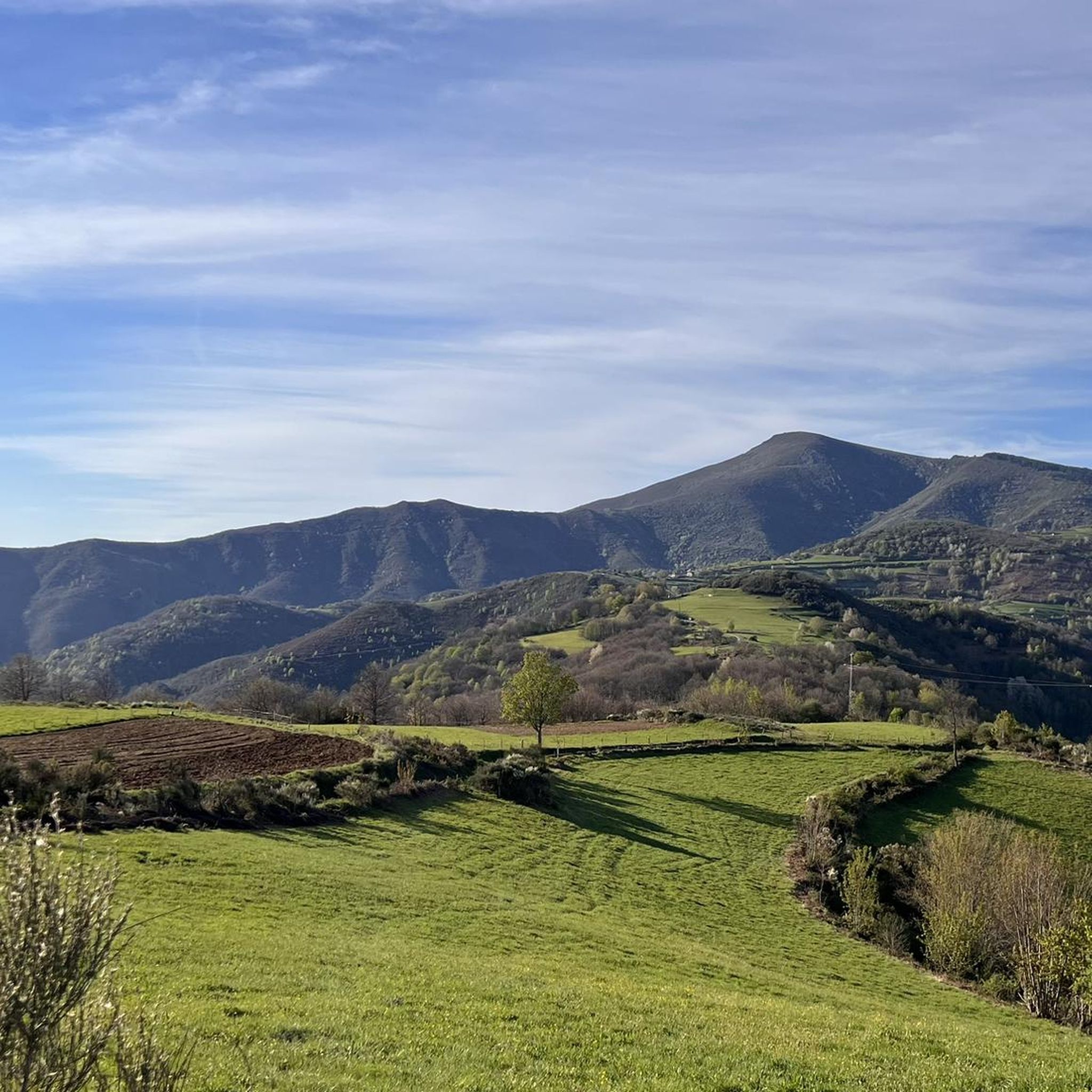
Best natural monuments around Vega De Valcarce are found within the Valcarce Valley, a region characterized by its mountainous terrain, the Valcarce River, and lush forests. This area serves as a significant natural passage along the Camino de Santiago, offering diverse landscapes. The natural setting provides scenic views and opportunities for outdoor exploration. Visitors can experience a blend of riverine environments, elevated viewpoints, and verdant woodlands.
Best natural monuments around Vega De Valcarce
- The most popular natural monuments is Beiro Waterfall, a waterfall located near the town of Busmayor. This waterfall is known as Fervenza do Beiro in the local dialect.
- Another must-see spot is Deer Spring Waterfall, a waterfall located at an altitude of 1264 meters. It presents a bicolor appearance due to different types of water flowing over the rock face.
- Visitors also love Cantejeira Waterfall, a waterfall approximately ten meters high. It is accessible via paths that offer panoramic views of the valley and dense forests.
- Vega De Valcarce is known for its waterfalls, mountain passes, and forested areas. The region offers a variety of natural monuments to see and explore, from cascading water features to elevated viewpoints.
- The natural monuments around Vega De Valcarce are appreciated by the komoot community, with more than 15 upvotes and 5 photos shared across the highlights.
Last updated: July 1, 2026
Cebreiro Pass
Highlight • Mountain Pass
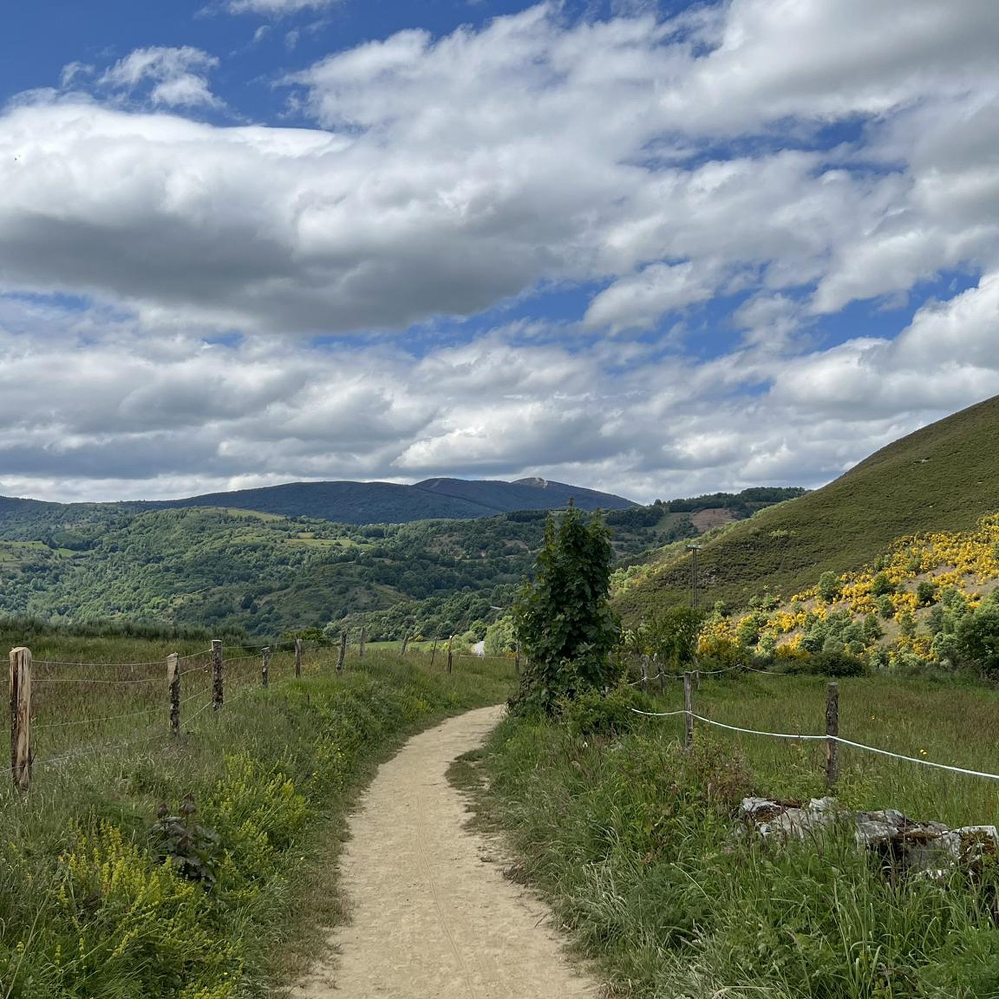
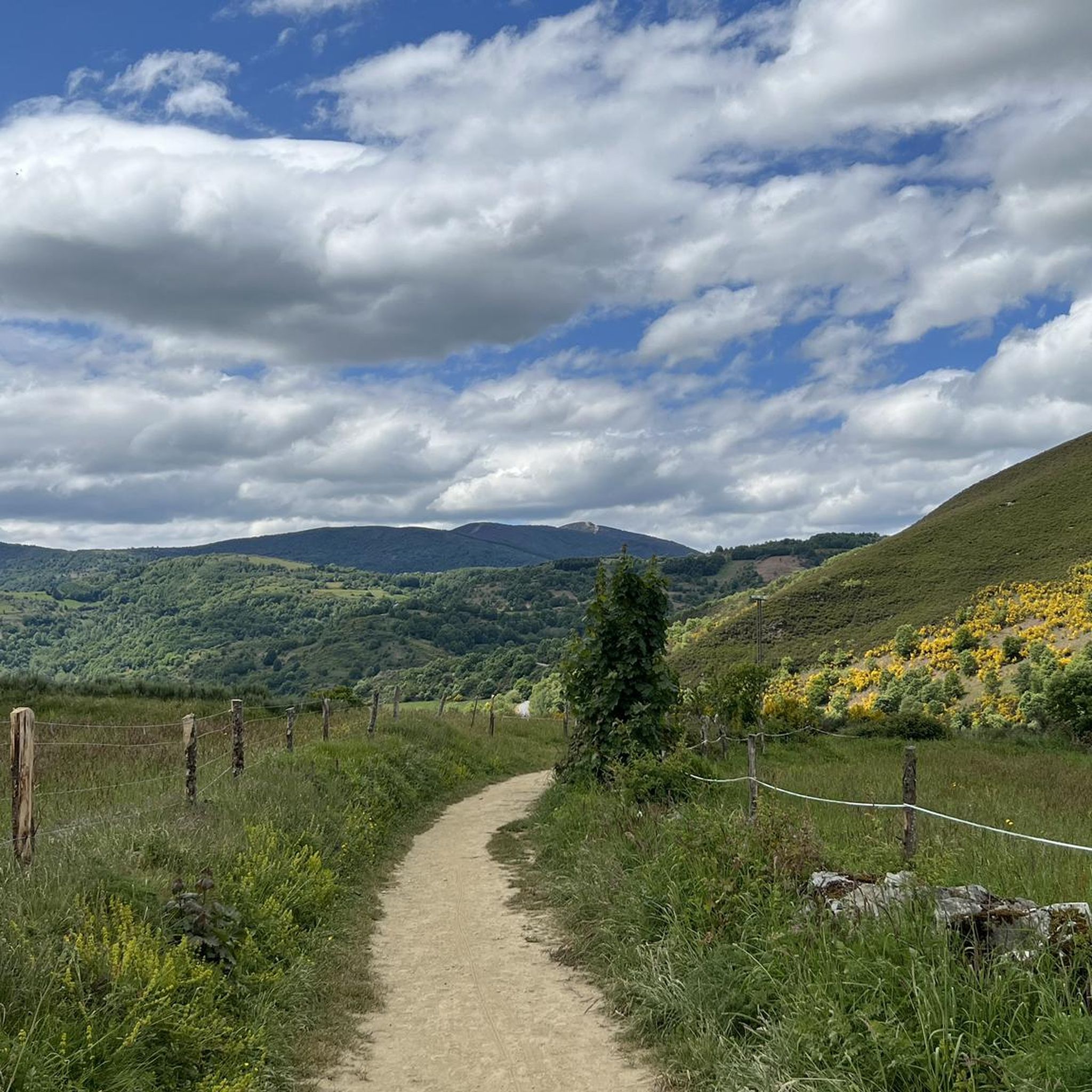
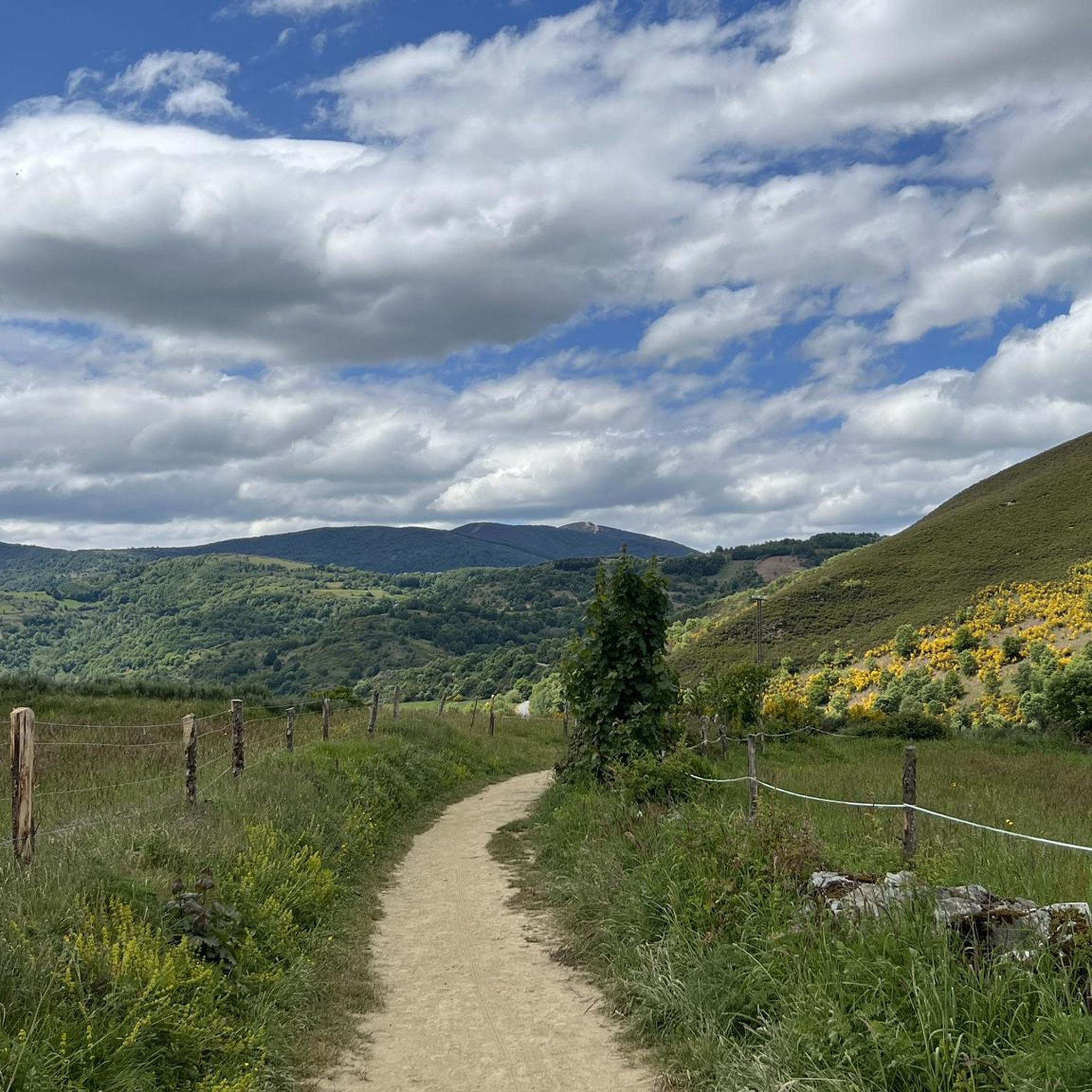
This pass separates the provinces of Lugo and León and is crowned at 1,300 meters above sea level.
Translated by Google •
Tip by

Jardines de la Alameda and La Chata Fountain
Highlight • Natural Monument
Already in the nineteenth century were built in this square beautiful gardens of Versailles style with numerous flower beds, bushes, hedges perfectly pruned creating shapes and delimiting spaces (in the beginning there were even labyrinths), etc.
In the center of the square is the well-known fountain of "La Chata", which dates back to the sixteenth century and belonged to the cloister of the nearby Monastery of Carracedo.
leonocio.es/place/jardines-de-la-alameda
Translated by Google •
Tip by

Sign up now to discover places like this
Get recommendations on the best single tracks, peaks, & plenty of other exciting outdoor places.
Sign up for free
Deer Spring Waterfall
Highlight • Waterfall
Translated by Google •
Tip by

Beiro Waterfall
Highlight • Waterfall
Translated by Google •
Tip by

The three peaks of Cebreiro
Highlight (Segment) • Mountain Pass
In the first stretch, starting from Pedrafita (1100 m above sea level) and following the LU-633 up to Cebreiro (1300 m.) there are 4 km almost entirely of climbs, which are also very tiring if you are carrying a lot of luggage: the heat accumulated for fatigue can turn into frozen sweat, cold and chills due to possible fog, tiredness and/or dehydration and the difference in temperature compared to Pedrafita; in addition to covering up, it is advisable to stop for a short refreshment at the village bar.
In the second stretch you descend to Linares (1220 m), and then climb up to Alto de San Roque (1260 m), which is particularly windy, as evidenced by the statue of the saint placed on the pass of the hill.
The third stretch descends again to Hospital (approximately 1250m) and then rises again reaching Alto do Poio (1335m), the highest point of the three peaks.
From here the road begins to descend rapidly for about fifteen km up to 660 m. above sea level of Triacastela.
Translated by Google •
Tip by

Sign up for free to discover even more natural monuments around Vega De Valcarce.
Sign up for free
Already have an account?
Start today with a free account
Your next adventure awaits.
Login or Signup
Popular around Vega De Valcarce


Other adventures around Vega De Valcarce

Tips from the Community


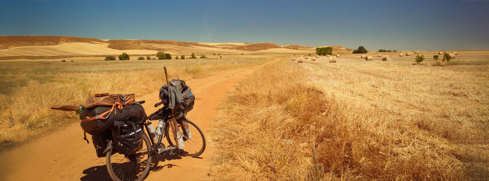
Famous pass, feared by medieval pilgrims, practically connects the Bierzo with Galicia. The climb from Villafranca del Bierzo is no joke, but doable. Just take it easy.
4
0

Perfect road for a bike ride, you have to be careful in summer because of the vehicle traffic
0
0

After a long and hard climb you finally reach the pass and can be proud of yourself.
3
1
Here you have finally reached the long-awaited pass.
3
0

The last real climbs of the Camino are the three peaks of the Cebreiro mountain group, over a distance of approximately 13 km, divided into three equivalent segments. In the first stretch, starting from Pedrafita (1100 m above sea level) and following the LU-633 up to Cebreiro (1300 m.) there are 4 km almost entirely of climbs, which are also very tiring if you are carrying a lot of luggage: the heat accumulated for fatigue can turn into frozen sweat, cold and chills due to possible fog, tiredness and/or dehydration and the difference in temperature compared to Pedrafita; in addition to covering up, it is advisable to stop for a short refreshment at the village bar. In the second stretch you descend to Linares (1220 m), and then climb up to Alto de San Roque (1260 m), which is particularly windy, as evidenced by the statue of the saint placed on the pass of the hill. The third stretch descends again to Hospital (approximately 1250m) and then rises again reaching Alto do Poio (1335m), the highest point of the three peaks. From here the road begins to descend rapidly for about fifteen km up to 660 m. above sea level of Triacastela.
2
0

Starting from the beautiful town of Busmayor, it is the first waterfall that we come across. Known as Fervenza do Beiro, since in Galicia and El Bierzo, fervenza is the word used to say waterfall.
2
0

Waterfalls located at an altitude of 1264 meters in Folgoso do Courel that fall into Rego da Rogueira. The waterfalls present a curious bicolor appearance due to the wear of the wall from which they descend in parallel with different types of water: crystalline waters and ferruginous waters.
4
0
Frequently Asked Questions
What are the most popular natural monuments around Vega De Valcarce?
The most popular natural monuments in the area include the beautiful Beiro Waterfall near Busmayor, the unique Deer Spring Waterfall known for its bicolor appearance, and the scenic Cantejeira Waterfall, which offers panoramic valley views.
Are there family-friendly natural monuments around Vega De Valcarce?
Yes, the Cantejeira Waterfall is considered family-friendly, accessible via paths that offer beautiful views. Additionally, the Jardines de la Alameda and La Chata Fountain in Villafranca del Bierzo provide a pleasant, family-friendly green space with historical elements.
What outdoor activities can I do near these natural monuments?
The Vega De Valcarce area is ideal for various outdoor activities. You can explore numerous hiking trails, enjoy scenic cycling routes, or tackle challenging mountain biking paths. For detailed routes and guides, check out the hiking guide, cycling guide, and MTB trails guide for Vega De Valcarce.
Where can I find the best panoramic views in the Vega De Valcarce area?
For breathtaking panoramic views, consider visiting the Deer Spring Waterfall or the Cantejeira Waterfall, both of which offer elevated perspectives. The region's mountainous landscape, especially around the three peaks of Cebreiro, also provides stunning vistas, particularly from Alto de San Roque.
Are there many waterfalls to visit in the Vega De Valcarce area?
Yes, Vega De Valcarce is known for its beautiful waterfalls. Key highlights include the Beiro Waterfall, the Deer Spring Waterfall, and the Cantejeira Waterfall, each offering a unique natural experience.
What is the best time to visit the natural monuments around Vega De Valcarce?
The region is characterized by lush greenery, making spring and early summer ideal for enjoying the full vibrancy of the landscapes and waterfalls. Autumn also offers beautiful colors. Be aware that higher altitude areas, like the three peaks of Cebreiro, can be windy and experience temperature drops, especially with fog, so prepare accordingly.
What kind of terrain can I expect when exploring the natural monuments?
The terrain around Vega De Valcarce is diverse, ranging from lush river valleys to mountainous areas. You'll encounter paths through dense forests, especially when accessing waterfalls like Beiro Waterfall and Cantejeira Waterfall. Higher elevations, such as the three peaks of Cebreiro, involve challenging climbs and descents.
What natural features define the Valcarce Valley?
The Valcarce Valley is primarily defined by its mountainous backdrop, the winding Valcarce River, and extensive lush forests. This combination creates a serene environment with stunning riverside views and verdant woodlands, forming a significant natural passage along the Camino de Santiago.
Are there any challenging natural monuments for experienced hikers?
Yes, the ascent to the three peaks of Cebreiro presents a challenging experience, especially for those undertaking the Camino de Santiago. This mountain pass involves significant climbs and can be particularly windy, offering a demanding yet rewarding trek with high-altitude views.
What do visitors enjoy most about the natural monuments in Vega De Valcarce?
Visitors frequently appreciate the tranquil beauty of the waterfalls, the panoramic views from elevated points, and the immersive experience of hiking through lush forests. The blend of natural scenery with the historical significance of the Camino de Santiago also adds to the appeal, offering a peaceful escape into nature.
Are there any natural monuments that are particularly good for photography?
Absolutely. The Deer Spring Waterfall, with its unique bicolor water flow, offers a distinctive photographic subject. The Beiro Waterfall, nestled in a beautiful forest, and the panoramic vistas from the three peaks of Cebreiro also provide excellent opportunities for capturing the region's natural splendor.
Can I find natural monuments that are easily accessible for a short visit?
For a relatively easy and short visit, the Cantejeira Waterfall is a good option, accessible via paths that are suitable for most visitors. The Jardines de la Alameda and La Chata Fountain also offer a pleasant, easily accessible green space for a relaxing break.
Most popular routes around Vega De Valcarce
Most popular attractions around Vega De Valcarce

Get inspired with the komoot mobile app


Explore more
Extend your search for the best caves by checking out these guides of the top ones around Vega De Valcarce:
