Top 8 Mountain Passes around Frigiliana
Best mountain passes around Frigiliana are found within the Sierras de Tejeda, Almijara y Alhama Natural Park in Andalusia, Spain. The area features mountainous terrain with numerous hiking trails that lead to high points and panoramic viewpoints. These routes offer views of the rugged landscape and the Mediterranean Sea. The geological composition of the Sierra de Almijara, dominated by marble, gives the mountains a distinctive white and gray appearance.
Best mountain passes around Frigiliana
- The most popular mountain passes is…
Last updated: July 1, 2026
Enginal Pass, Sierras de Tejeda, Almijara and Alhama Natural Park
Highlight • Mountain Pass
Translated by Google •
Tip by

Puerto Blanquillo
Highlight • Mountain Pass
Translated by Google •
Tip by

Sign up now to discover places like this
Get recommendations on the best single tracks, peaks, & plenty of other exciting outdoor places.
Sign up for free
View of the Sierra de Almijara
Highlight • Viewpoint
Translated by Google •
Tip by

View of El Fuerte
Highlight • Viewpoint
Translated by Google •
Tip by

Huerta Grande Pass
Highlight • Mountain Pass
Translated by Google •
Tip by

Sign up for free to discover even more mountain passes around Frigiliana.
Sign up for free
Already have an account?
Start today with a free account
Your next adventure awaits.
Login or Signup
Popular around Frigiliana
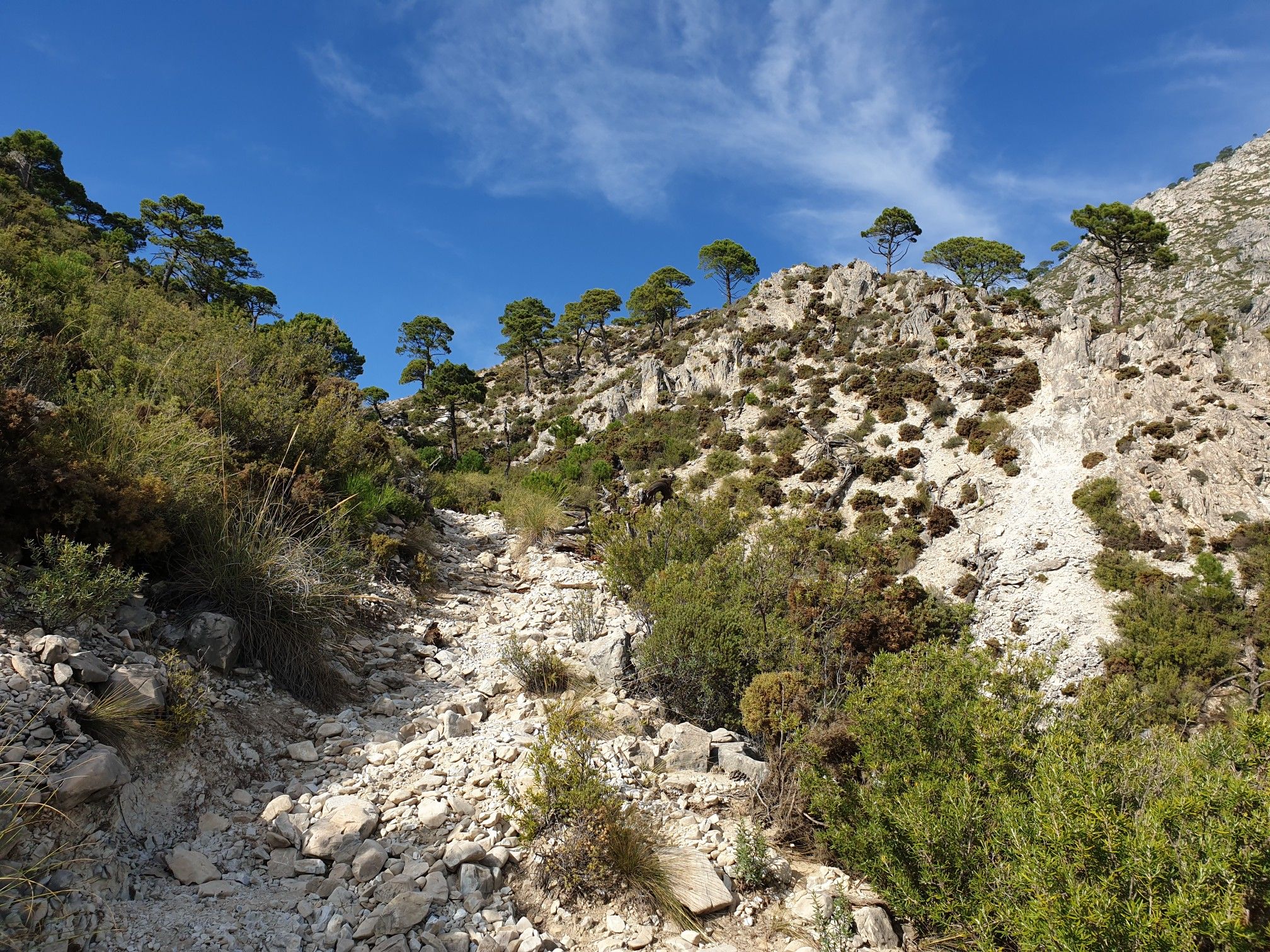
Between white villages and mountains – GR 242 Tejeda-Almijara

Hike between sea and mountains — Gran Senda de Málaga (GR 249)
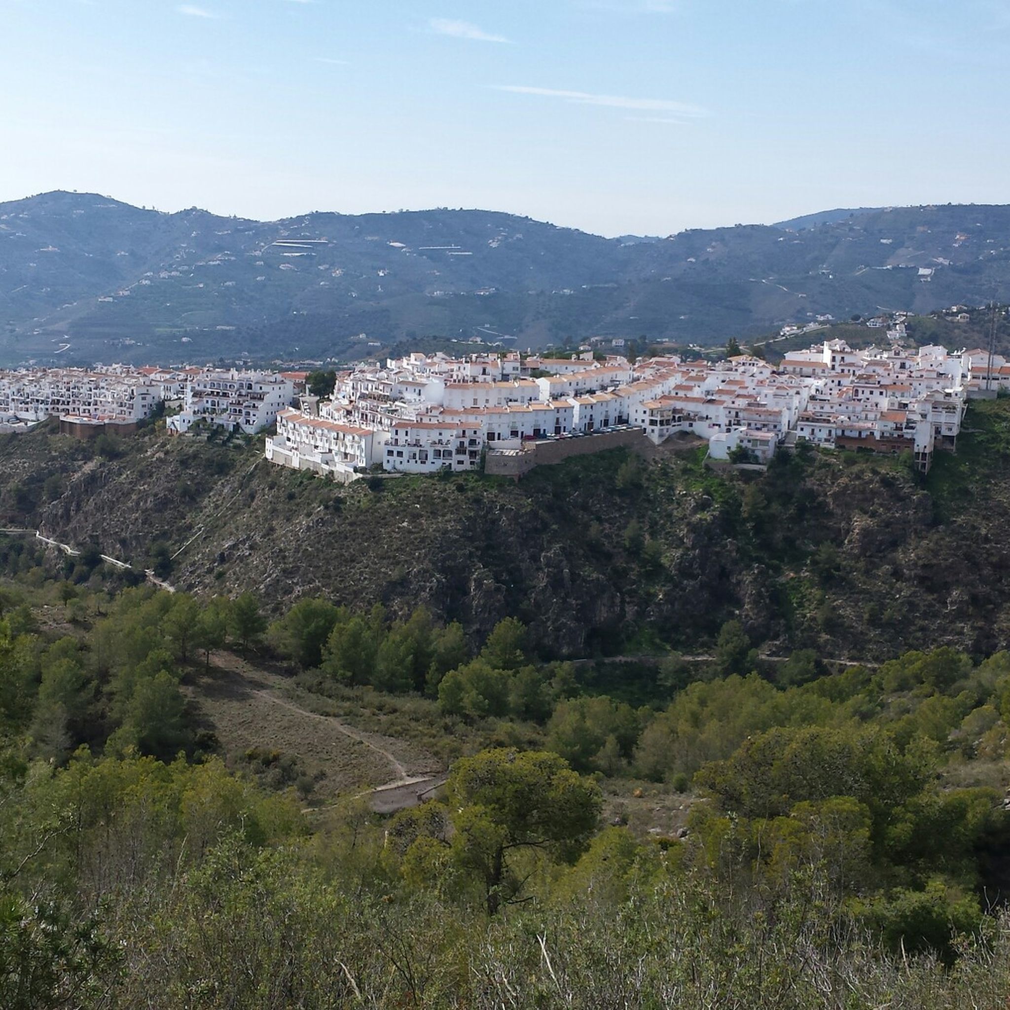
Hiking around Frigiliana
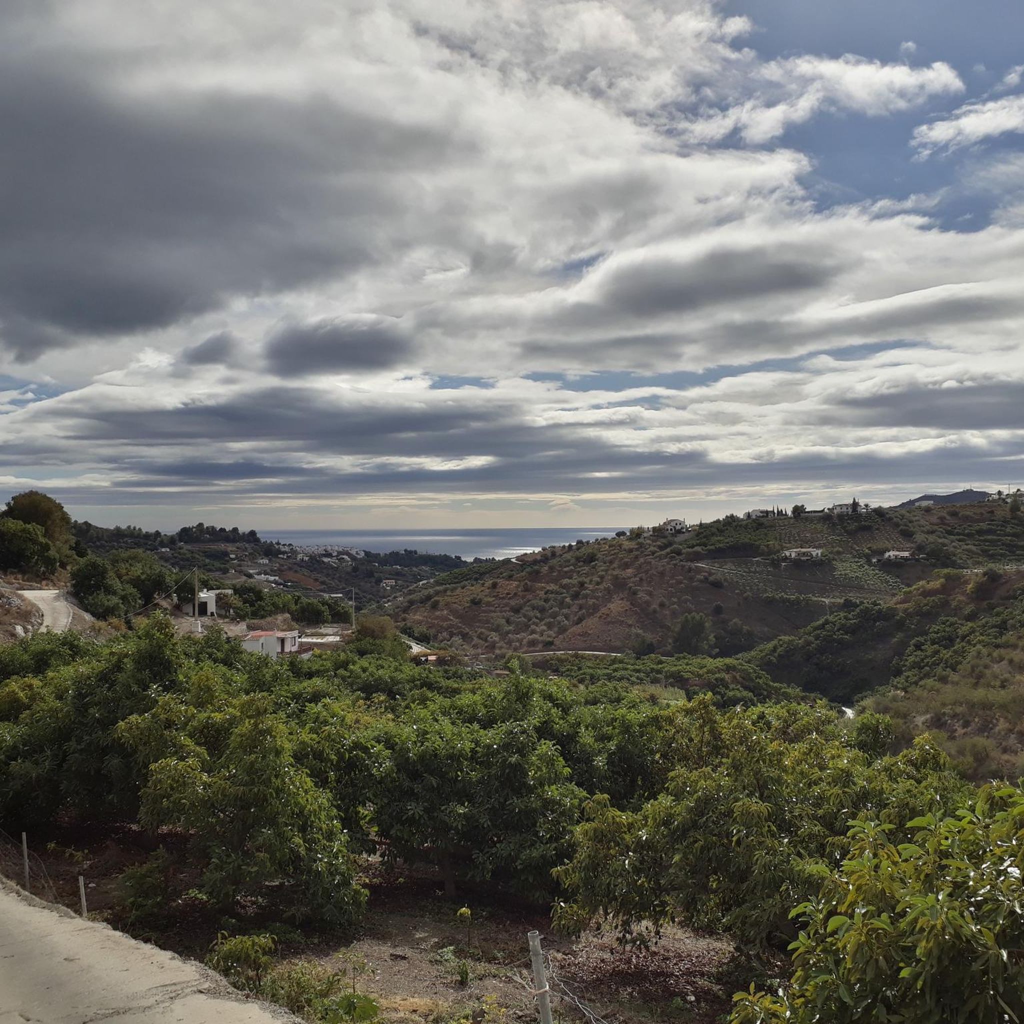
Road Cycling Routes around Frigiliana
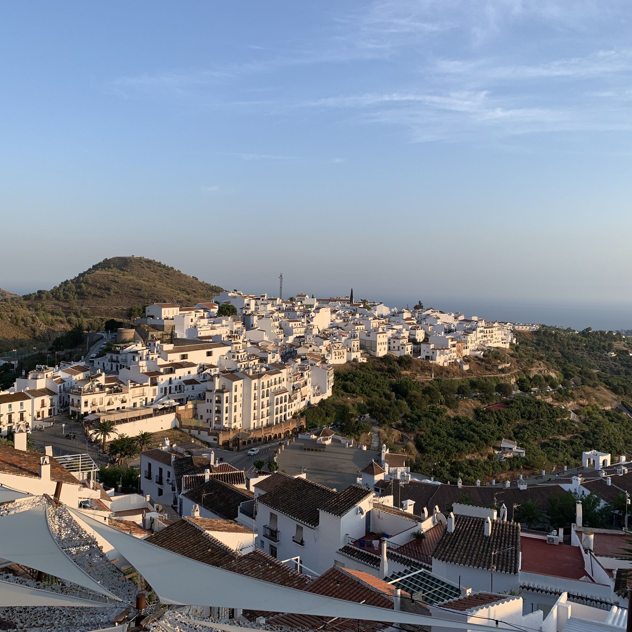
Cycling around Frigiliana
MTB Trails around Frigiliana
Running Trails around Frigiliana

Gravel biking around Frigiliana


Tips from the Community

Puerto Blanquillo is a mountain pass in the Sierra Tejeda that has long served as a natural crossing point between different valleys and mountain routes. Historically, it was used by shepherds, muleteers, and travellers moving through the Sierra before the arrival of modern roads. Today, the pass is a well-known waypoint for hikers, offering access to several trails and fine views of the surrounding mountains and the Axarquía region.
0
0

Here you can enjoy a beautiful view of the mountains.
1
0

They should fix the road. It's a shame that the Andalusian government doesn't spend a single penny on the roads.
0
0

This hike is fun even for teenagers! A great canyon, with numerous small stream crossings, and stunning views. Shoes with treads are highly recommended, and keep in mind: there are two ascents and two descents: down into the canyon, up the mountain, back down into the canyon, and up to the village. Overall, a varied hike.
0
0

We really enjoyed the tour up the riverbed and back along the aqueduct. We did the tour on April 2, 2025. You can find the tour dates in my profile. Just enter SPAIN 🇪🇸 in the search bar.
2
0

mountain range in the hinterland of Frigiliana
5
0

The Sierra de Almijara is a mountain range in southern Spain that belongs to the Betic Cordillera. It is part of the mountain range that lies behind the Sun Coast, north of Vélez-Málaga and Nerja in Andalusia. The highest point is the Matalas Camas peak at 1791 m. Other peaks are the Pico del Cielo and the Cerro Cabeza del Caballo. Since 1999 it has been placed under special protection as part of the Sierras de Tejeda Almijara y Alhama National Park. Source and more info https://de.m.wikipedia.org/wiki/Sierra_de_Almijara
3
0
The Sierra de Almijara is a mountain range in southern Spain that belongs to the Betic Cordillera. It is part of the mountain range that lies behind the Sun Coast, north of Vélez-Málaga and Nerja in Andalusia. The highest point is the Matalas Camas peak at 1791 m. Other peaks are the Pico del Cielo and the Cerro Cabeza del Caballo. Since 1999 it has been placed under special protection as part of the Sierras de Tejeda Almijara y Alhama National Park. Source and more info https://de.m.wikipedia.org/wiki/Sierra_de_Almijara
3
0
Frequently Asked Questions
What are some of the most popular mountain passes and viewpoints around Frigiliana?
The area offers several notable mountain passes and viewpoints. Enginal Pass is highly regarded for its wild and romantic nature, often involving ascents along riverbeds. For spectacular panoramic views of the Sierra de Almijara's peaks, visit the View of the Sierra de Almijara. Another excellent spot is Huerta Grande Pass, which provides wide-ranging views including Cerro Lucero and Cerro Verde from a short ascent.
What kind of natural features can I expect to see on these mountain passes?
You'll encounter diverse ecosystems, including Mediterranean forests and mountain scrublands. The Sierra de Almijara's geological composition, dominated by marble, gives the mountains a distinctive white and gray appearance. Many routes feature rugged landscapes, steep mountainsides, and ravines. Keep an eye out for local fauna like mountain goats.
Are there any historical elements to discover along the mountain pass trails?
Yes, some trails offer glimpses into the region's history. For instance, the hike to El Fuerte Peak reveals ancient Arab irrigation channels and lime kilns. The Cruz de Pinto route features a cross built in 1643, adding a historical layer to the scenic views.
What is the best time of year to hike the mountain passes near Frigiliana?
The region generally offers good hiking conditions outside of the peak summer heat. Spring and autumn are ideal, with pleasant temperatures and vibrant landscapes. Winter can also be suitable, though some higher elevations might experience colder conditions. Always check local weather forecasts before heading out.
Are there any family-friendly mountain trails around Frigiliana?
While many routes involve challenging terrain, some sections or shorter loops can be suitable for families. It's best to research specific trails for their difficulty and length. For example, the Cruz del Félix route offers a circular path with beautiful views, but always assess the fitness level of your group before embarking.
What outdoor activities can I do near these mountain passes besides hiking?
The area around Frigiliana is excellent for various outdoor sports. You can find numerous MTB Trails, offering routes like the 'Circular de Frigiliana y Cómpeta'. There are also scenic Road Cycling Routes, such as the 'Nerja, Frigiliana, and Torrox Loop'. Additionally, Gravel Biking is popular, with routes like the 'Frigiliana – Frigiliana loop from Nerja'.
What are the typical terrain and difficulty levels for mountain pass hikes in this region?
The terrain varies from well-marked paths to rugged mountain trails with significant elevation changes. You'll encounter sandy, pine-covered slopes, riverbeds, and rocky sections. Many routes are considered intermediate to challenging, requiring a good level of fitness. For instance, the path to Puerto Blanquillo involves mountain trails and can be quite rugged.
Are there any specific passes known for their challenging ascents?
Yes, Páez Blanca Pass is part of the challenging Stage 6 of the Great Malaga Path (GR 249). The ascent to this pass is characterized by sharp peaks, steep mountainsides, and ravines, offering a truly wild and demanding experience.
What do visitors enjoy most about the mountain passes around Frigiliana?
Visitors frequently praise the spectacular panoramic views of the rugged landscape, the Mediterranean Sea, and even the African coast on clear days. The sense of being in a wild and romantic nature reserve, combined with the unique white and gray marble geology of the Sierra de Almijara, makes for a memorable experience. The variety of trails and the opportunity to discover historical elements also add to the appeal.
Are there any circular walks available for exploring the mountain areas?
Yes, several routes offer circular options. The Cruz de Pinto provides a panoramic loop above Frigiliana, and the Cruz del Félix route is also a circular path that descends to the Higuerón River before ascending to its highest point for expansive views. These loops allow you to experience diverse scenery without retracing your steps.
What should I wear for hiking in the Frigiliana mountains?
Given the varied terrain and potential for elevation changes, it's recommended to wear sturdy hiking boots with good ankle support. Layered clothing is advisable to adapt to changing temperatures, especially if starting early or hiking into the late afternoon. Don't forget sun protection, a hat, and plenty of water, particularly during warmer months.
Is it possible to reach high-altitude passes by car, or are they primarily for hiking?
Most of the significant passes and high points in this region are primarily accessed via hiking trails. While some starting points, like Puerto Blanquillo, might be reachable by unpaved roads, it's often recommended to use a car with high suspension, and parking is typically informal at the roadside. The true experience of these 'passes' comes from traversing them on foot.
Most popular routes around Frigiliana
Most popular attractions around Frigiliana

Get inspired with the komoot mobile app


Explore more
See even more epic mountain passes by checking out these guides around Frigiliana:
