Top 6 Mountain Passes around Vallejera De Riofrío
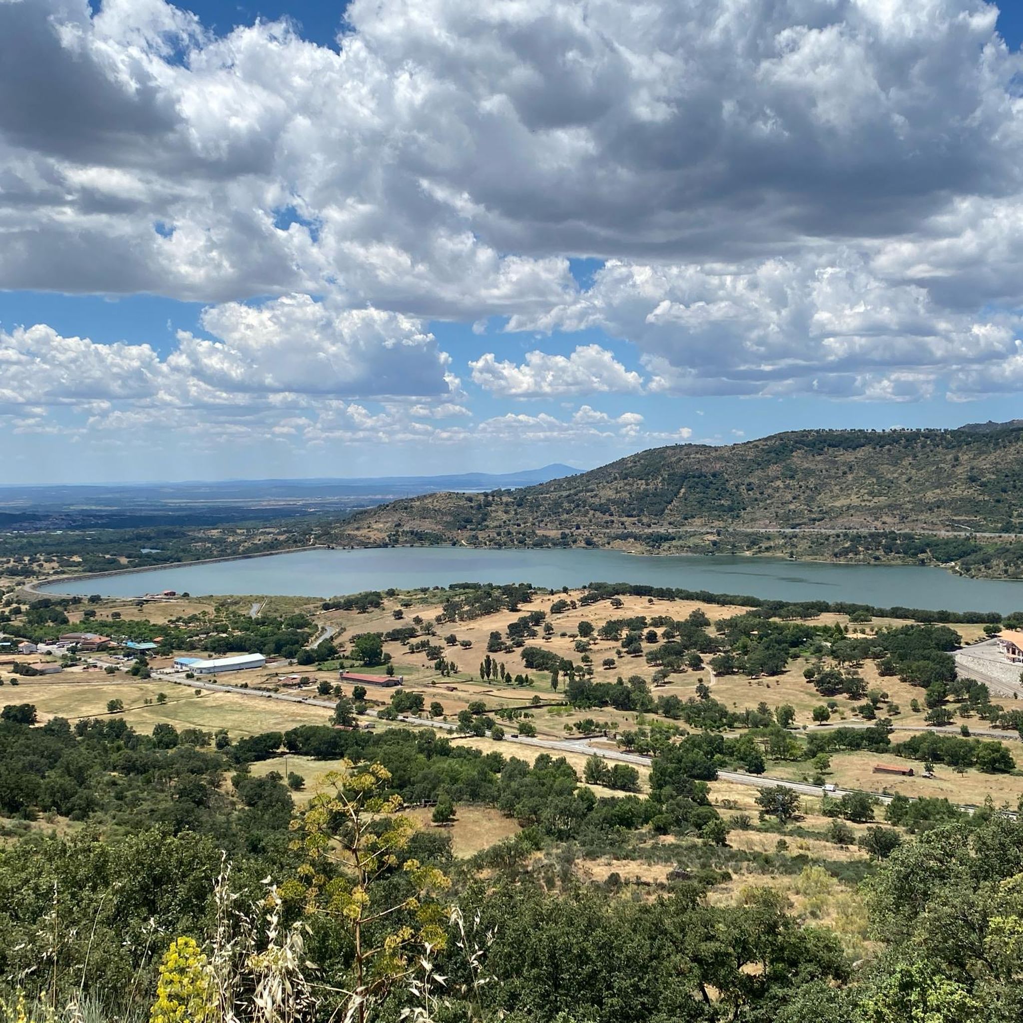
Mountain passes around Vallejera De Riofrío are situated in the Sierra de Béjar, a mountainous region in the province of Salamanca. This area is characterized by its elevated routes, offering access to a diverse natural environment. The landscape features deciduous forests with oaks, pines, ash, and chestnut trees. Vallejera De Riofrío itself is one of the highest towns in the province, providing panoramic views of the Sierra de Béjar.
Best mountain passes around Vallejera De Riofrío
- The most popular mountain…
Last updated: July 1, 2026
Puerto del Tremedal
Highlight • Mountain Pass
Translated by Google •
Tip by

Puerto de Vallejera
Highlight • Mountain Pass
Translated by Google •
Tip by

Sign up now to discover places like this
Get recommendations on the best single tracks, peaks, & plenty of other exciting outdoor places.
Sign up for free
Travieso Pass
Highlight • Mountain Pass
Translated by Google •
Tip by
Collado de las Angosturas
Highlight • Mountain Pass
Translated by Google •
Tip by

Climb to Alto del Travieso
Highlight (Segment) • Mountain Pass
Worth the climb for the views alone
Translated by Google •
Tip by

Sign up for free to discover even more mountain passes around Vallejera De Riofrío.
Sign up for free
Already have an account?
Start today with a free account
Your next adventure awaits.
Login or Signup


Tips from the Community

Very steep climb of about 15 km (4% on average with some sections at 7%). The asphalt is good and with many trees that provide pleasant shade on hot days.
0
0

Nice port with a constant and not very steep slope on either side, be careful in winter due to possible ice sheets.
0
0

Puerto del Tremedal from El Barco de Ávila is a climb in the Castilla y León region. It has a length of 10.9 kilometers and an ascent of 608 vertical meters with an average gradient of 5.6%, which implies a difficulty level of 420. The top of the ascent is located at 1,640 meters above sea level.
1
0
Altimetry: El Alto del Travieso is a port with very constant slopes and hardly any rest. In fact, we have 11 km with average inclines greater than 7%, although we will not find double-digit inclines on average. This is a tough climb, but without a maximum level of demand, which I consider highly recommendable.
0
0

A little-known port among cyclists and somewhat better known by cyclists in the area, although the Tour of Spain has already passed through it. The climb up the south face of this pass is very hard: 11 km starting from La Carrera that take forever. The road is narrow and one of those that grab a lot, bad for rolling. This climb is the hardest that the Tremedal has.
1
1

Demanding 1st category port, with an average slope of 7.38%. Worth the climb for the views alone
0
0
Frequently Asked Questions
What are the primary mountain passes directly within or very close to Vallejera de Riofrío?
The most prominent pass directly located within the municipality is Puerto de Vallejera. It reaches altitudes up to 1225 meters and is a crucial north-south transit point. It's known for a constant and manageable gradient, making it popular for cyclists.
What kind of natural scenery can I expect around the mountain passes in Vallejera de Riofrío?
The area around the passes features a rich natural environment, including deciduous forests with oaks, pines, ash, and a high density of chestnut trees. You'll find picturesque scenery, especially for rural tourism and hiking, with panoramic views of the entire Sierra de Béjar.
Are there challenging mountain passes for experienced cyclists in the wider Sierra de Béjar region?
Yes, Travieso Pass (Alto del Travieso) is a demanding 1st category pass, rising to 1858 meters with an average gradient of 7.38% over 11 kilometers. Another challenging option is Puerto del Tremedal, which involves a 10.9-kilometer climb with an elevation gain of 608 meters, culminating at 1640 meters above sea level.
What is the best time of year to visit the mountain passes around Vallejera de Riofrío?
The climate is continental with mountain influences. Summers are warm, making them ideal for outdoor activities. Winters are very cold and snowy, which can be appealing for winter sports enthusiasts, especially with the proximity to La Covatilla ski resort. However, be aware that high-altitude passes like Alto del Travieso can experience closures during winter due to heavy snow, strong winds, and very low temperatures.
Are there hiking trails available near these mountain passes?
Absolutely. The region offers numerous hiking opportunities. You can explore various trails, including those around the passes themselves. For more detailed routes, check out the Hiking around Vallejera De Riofrío guide, which includes routes like the 'Béjar - El Castañar Trail' and 'Fuente de la Hoja – Ermita del Humilladero loop'.
Can I find cycling routes that incorporate the mountain passes in this area?
Yes, the area is well-suited for cycling. Many routes, including circular ones from Béjar, incorporate passes like Alto del Travieso and the La Covatilla ski station. For specific cycling tours, refer to the Cycling around Vallejera De Riofrío guide or the Road Cycling Routes around Vallejera De Riofrío guide.
What makes <a href="https://www.komoot.com/highlight/1599801" target="_blank" rel="noopener">Travieso Pass</a> a notable destination?
Travieso Pass is highly valued for its stunning panoramic views of the Sierra de Béjar and the surrounding landscapes. It lies within the beautiful Candelario Natural Park, offering a pristine natural environment and a rewarding challenge for experienced cyclists.
Are there any less-known but rewarding mountain passes for cyclists in the region?
Puerto del Tremedal, while slightly further from Vallejera de Riofrío, is recognized within the cycling community for its significant ascent. It offers a challenging experience for those looking to conquer mountain routes in the wider Castilla y León region.
What are the typical conditions for cycling on <a href="https://www.komoot.com/highlight/6377251" target="_blank" rel="noopener">Puerto de Vallejera</a>?
Puerto de Vallejera offers cyclists a climb with a constant and manageable gradient from either side. However, during winter, conditions may present ice, so caution is advised.
What kind of views can I expect from the higher mountain passes?
From higher passes like Travieso Pass, you can expect breathtaking panoramic views of the Sierra de Béjar and the extensive surrounding landscapes, offering a true sense of the mountainous terrain.
Is Vallejera de Riofrío itself a good base for exploring mountain passes?
Yes, Vallejera de Riofrío is one of the highest towns in the province and provides panoramic views of the entire Sierra de Béjar. Its central location and access to major routes like the A-66 make it an excellent starting point for exploring the surrounding mountain passes and natural areas.
Most popular routes around Vallejera De Riofrío
Most popular attractions around Vallejera De Riofrío

Get inspired with the komoot mobile app


Explore more
See even more epic mountain passes by checking out these guides around Vallejera De Riofrío:
