Navacepedilla De Corneja
Navacepedilla De Corneja
Top 6 Mountain Passes around Navacepedilla De Corneja
Mountain passes around Navacepedilla De Corneja are situated in the Ávila province of Spain, offering access to a diverse natural landscape. The region features elevated points that connect valleys and mountain ranges, such as the Corneja Valley with the Alto Valle del Alberche. This area provides routes through mountainous terrain, characterized by varying road conditions and scenic viewpoints. The geography includes branches of the Sierra de Ávila and the northern area of Gredos.
Best mountain passes around Navacepedilla De Corneja
…Last updated: July 1, 2026
Peña Negra Pass
Highlight • Mountain Pass
Translated by Google •
Tip by

Chía Pass (1,663 m)
Highlight (Segment) • Mountain Pass
Translated by Google •
Tip by
Sign up now to discover places like this
Get recommendations on the best single tracks, peaks, & plenty of other exciting outdoor places.
Sign up for free
Puerto de la Cañada del Horno
Highlight • Mountain Pass
Translated by Google •
Tip by
Villatoro
Highlight • Settlement
Translated by Google •
Tip by
Collado de la Honda
Highlight • Mountain Pass
Translated by Google •
Tip by
Sign up for free to discover even more mountain passes around Navacepedilla De Corneja.
Sign up for free
Already have an account?
Start today with a free account
Your next adventure awaits.
Login or Signup


Tips from the Community

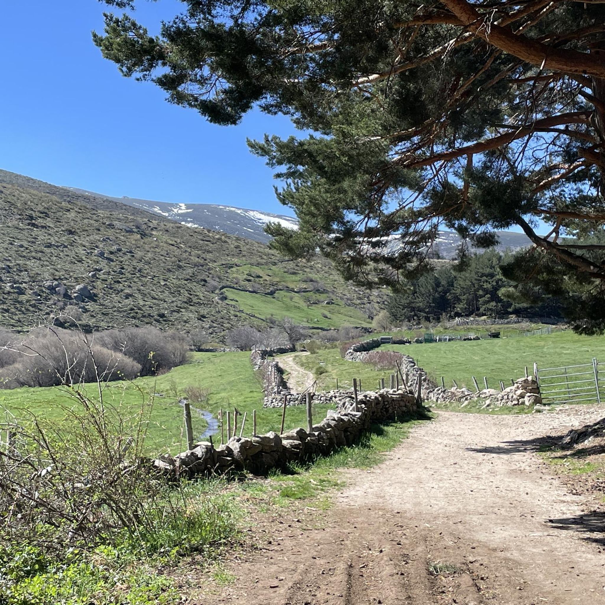
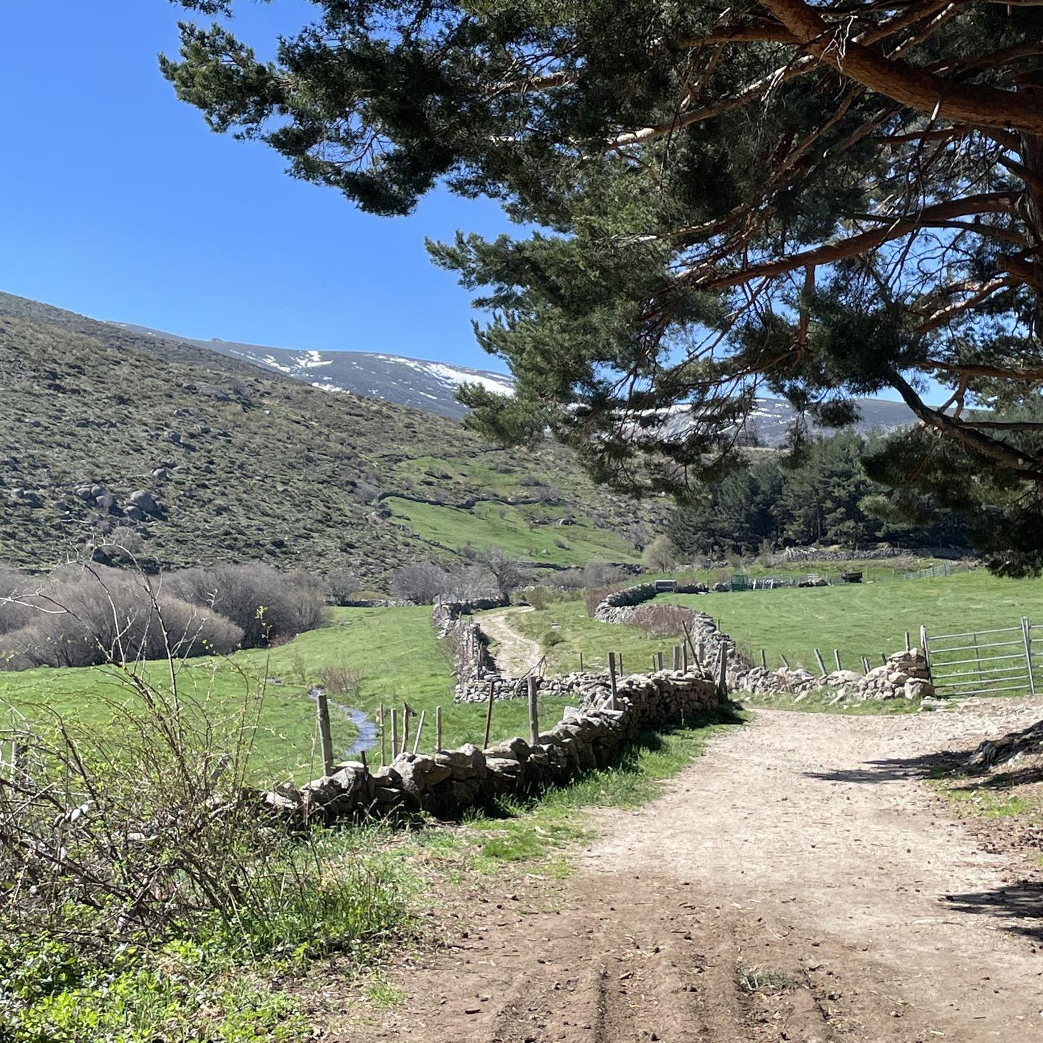
Beautiful views, on a good day you can see people taking off on paragliders.
0
0

Small tack between Navarreonda de Gredos and San Martín De la Vega del Alberche of just 4 km, being harder in the northern area than in the southern area. It is also known by the name of Alto de Barajas. Like all secondary roads in the Gredos area, the asphalt is irregular and rough, of acceptable width, without a shoulder and with very little traffic. Despite the little traffic, it is highly recommended to have your rear light because locals usually travel quickly and hardly expect to encounter cyclists. This small limit can be used on many routes in the northern area of Gredos.
0
0
This slope is gentler than the northern slope and much shorter, with just 4 km and 2 of them hard, with some considerable ramps in the pair of horseshoe curves that there are. The road is inhospitable and therefore with very little traffic. The asphalt is uneven and rough, which adds hardness to the climb. Most of the secondary roads in this area are like this, which gives it a lot of charm. The landscape in summer is dry land, very typical of the northern area of Gredos and the northern plateau in general. I climbed the pass one early morning in August and I really enjoyed the solitude and silence of nature.
0
0

A large port, 15 km long if we start from Piedrahita, and with a constant slope of 6% except for a couple of short sections that are less and some sections that reach 9%, but very punctual. The condition of the asphalt is good, it is one of the few ports in the area with a surface in good condition. Upstairs it has very good views and there are usually people doing paragliding (if the weather conditions allow it)
0
0

The Collado de la Honda is the final part of an old glacier that ends at this point. The glacier is the result of ancient times when the glacial movements were more southern and this is an example of how in this area of the middle of the Meseta there were.
1
0
The relief of the municipality is formed by two mountainous areas separated by the Amblés valley, through which the Adaja river runs, which is born in the territory. The northern area is called Sierra de Villanueva, a branch of the Sierra de Ávila.
0
0
It is 1,663 meters above sea level and connects the Corneja Valley (Valdecorneja) with the Alto Valle del Alberche through a local road that connects the towns of Navacepedilla de Corneja and San Martín de la Vega del Alberche. It separates the Sierra de Villafranca and the massif of La Serrota.
0
0
The port of Peña Negra, on its north face, starts from the town of Piedrahita, at the turnoff to Pesquera. Already in the same streets of Piedrahita the slopes stabilize around 5-6%, which will be the usual trend. Because Peña Negra, as can be seen in the altimetric profile, is a really regular port, except for a few short breaks in the second half.
0
0
Frequently Asked Questions
What are some notable mountain passes in the Navacepedilla de Corneja area?
Beyond the popular ones, the region features the Chía Pass (1,663 m), which connects the Corneja Valley with the Alto Valle del Alberche and offers scenic views. Another significant point is the Puerto de la Cañada del Horno, located at 1,767 meters, linking the Alto Alberche valley with the Alto Tormes valley.
Are there family-friendly options for exploring the mountainous terrain?
While some mountain passes can be challenging, the Villatoro area is considered family-friendly. Additionally, the Sendero de los Molinos (Path of the Mills), though not a pass, is an intermediate hiking route suitable for families, featuring historical mills and following the Corneja river.
What kind of natural features can I expect to see around these mountain passes?
You'll encounter diverse natural landscapes, including the Corneja Valley and the Alto Valle del Alberche. The Chía Pass is known for the vigorous Arroyo del Puerto de Chía stream, especially in autumn. The region also offers views of mountain ranges like the Sierra de Villafranca and La Serrota massif, and the dry, typical landscape of the northern Gredos area in summer.
Are there historical or cultural sites near the mountain passes?
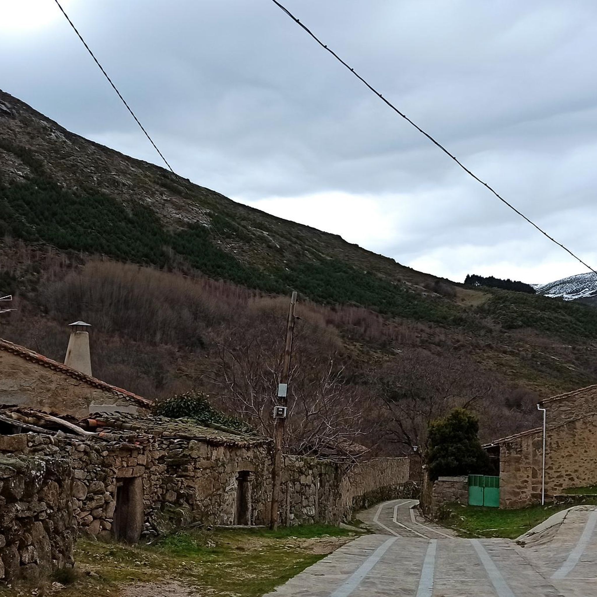
Yes, the journey over Puerto de Villatoro leads to the town of Villatoro, which boasts the impressive Iglesia de Nuestra Señora de la Asunción with Gothic and Renaissance elements, and a medieval tower. The Sendero de los Molinos also offers a glimpse into the region's past with its 22 historical mills, some restored like the Molino del Tío Alberto.
What is the best time to visit the mountain passes around Navacepedilla de Corneja?
Autumn is particularly recommended for its picturesque landscapes, especially when traversing the Puerto de Villatoro, which is characterized by vibrant colors. The Arroyo del Puerto de Chía also flows vigorously during this season, adding to the natural beauty. Summer offers solitude and silence in nature, though the landscape can be dry.
What outdoor activities can I do near these mountain passes?
The area is excellent for various outdoor activities. You can find numerous hiking trails, including challenging routes like the Ascent to La Serrota. For cyclists, there are MTB trails and touring bicycle routes, such as the Villatoro and Garganta de los Hornos Loop for mountain biking, or the Chía Pass loop for touring. Explore more options on the hiking guide, MTB guide, and cycling guide for the region.
Are there challenging mountain passes for experienced adventurers?
Yes, the region offers challenging routes. For instance, the Puerto de la Cañada del Horno, at 1,767 meters, features irregular and rough asphalt, making it a more demanding climb. The northern slope of Chía Pass also presents considerable ramps and uneven, rough asphalt, adding to its difficulty.
What are the typical road conditions on these mountain passes?
Road conditions vary. Passes like Peña Negra Pass generally have good asphalt. However, many secondary roads in the Gredos area, including parts of Chía Pass and Puerto de la Cañada del Horno, are characterized by uneven and rough asphalt, often without a shoulder, which adds to the challenge for cyclists.
Can I find good viewpoints along the mountain passes?
Absolutely. The Peña Negra Pass offers beautiful views, and on a clear day, you might even see paragliders taking off. The Chía Pass also provides scenic vistas of the surrounding mountain ranges and valleys due to its elevation.
What makes the Collado de la Honda unique?
The Collado de la Honda is unique as it represents the final part of an ancient glacier. It serves as an example of past glacial movements in this area of the Meseta, offering a glimpse into the region's geological history.
Are there specific hiking routes associated with these passes?
Yes, for example, the Sendero de los Molinos is a linear hiking route between Villafranca de la Sierra and Navacepedilla de Corneja, following the Corneja river. For more structured routes, you can explore options like the 'Tío Alberto Mill loop from Villafranca de la Sierra' found in the hiking guide for the area.
What is the elevation of the highest mountain passes in the area?
The Puerto de la Cañada del Horno is one of the highest, reaching 1,767 meters above sea level. The Chía Pass is also significant at 1,663 meters.
Most popular attractions around Navacepedilla De Corneja

Get inspired with the komoot mobile app


Explore more
See even more epic mountain passes by checking out these guides around Navacepedilla De Corneja:
