Top 5 Mountain Passes around Triacastela
Best mountain passes around Triacastela are integral to the journey through the mountainous terrain surrounding this Galician village. Triacastela is a stopping point on the Camino de Santiago (French Way), nestled in a green valley. The area features notable mountain passes that offer views and a sense of accomplishment to hikers and pilgrims.
Best mountain passes around Triacastela
- The most popular mountain passes is Pilgrim Statue at Alto de San Roque, a man_made_monument that is located at 1270 meters…
Last updated: October 4, 2026
Pilgrim Statue at Alto de San Roque
Highlight • Monument
The silhouette of the pilgrim whipped by the wind represents the …
Translated by Google •
Tip by

Alto do Poio
Highlight • Mountain Pass
Translated by Google •
Tip by
Sign up now to discover places like this
Get recommendations on the best single tracks, peaks, & plenty of other exciting outdoor places.
The three passes of O Cebreiro
Highlight (Segment) • Mountain Pass
Tip by

The three peaks of Cebreiro
Highlight (Segment) • Mountain Pass
In the …
Translated by Google •
Tip by
Start today with a free account
Your next adventure awaits.
Tips from the Community

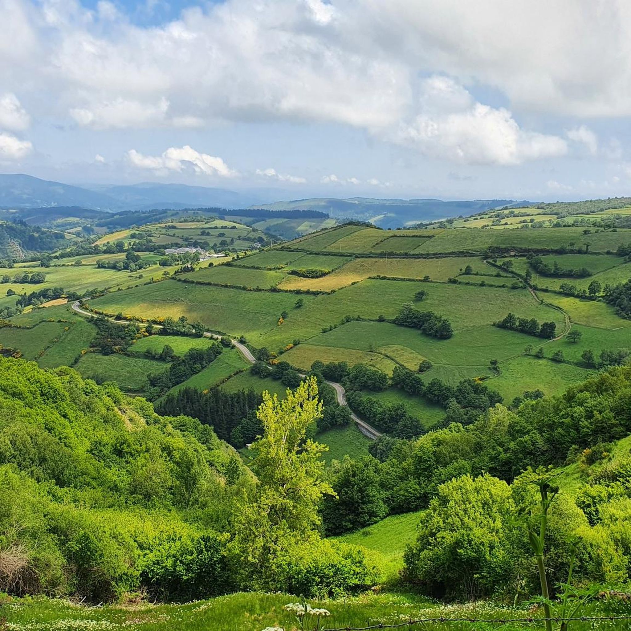
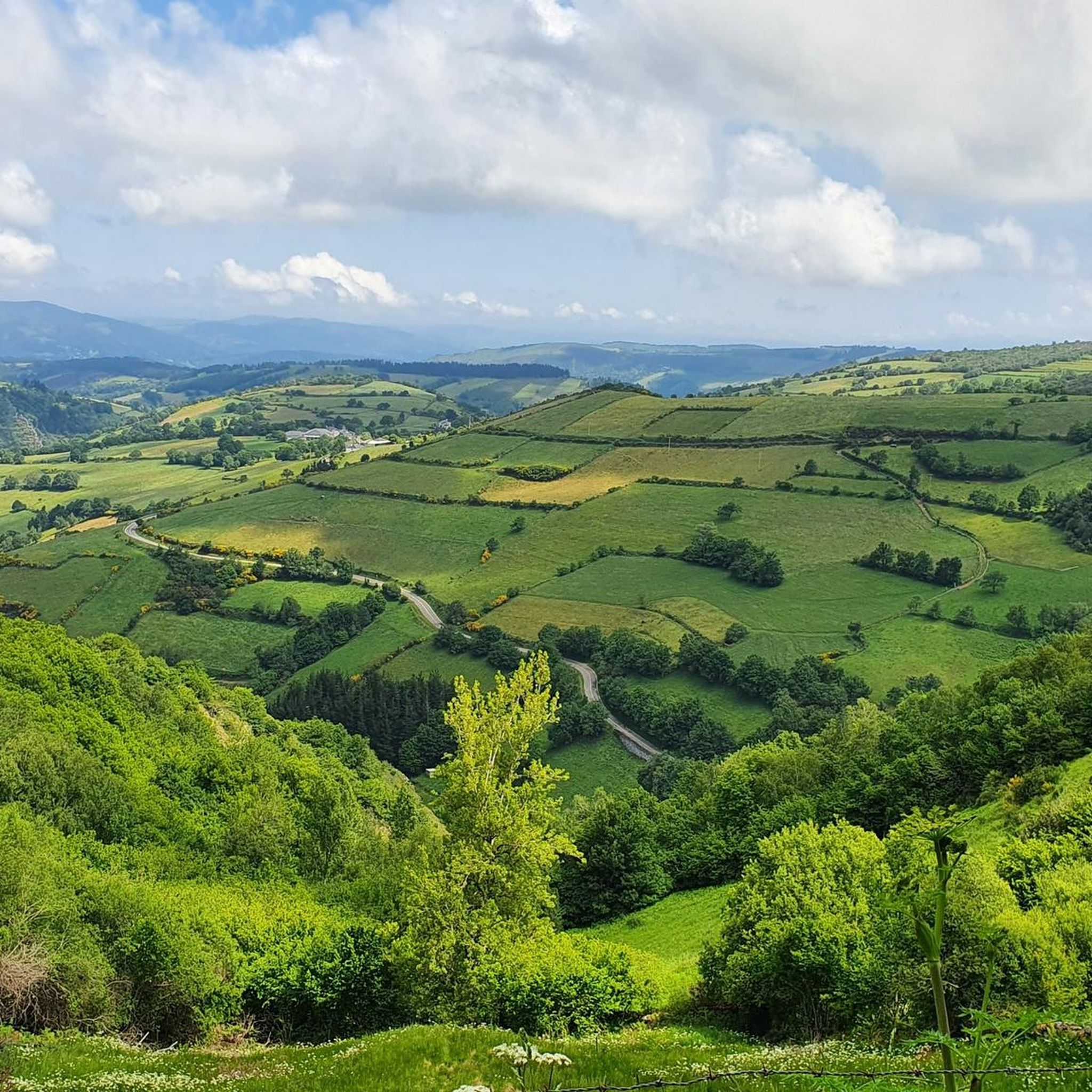
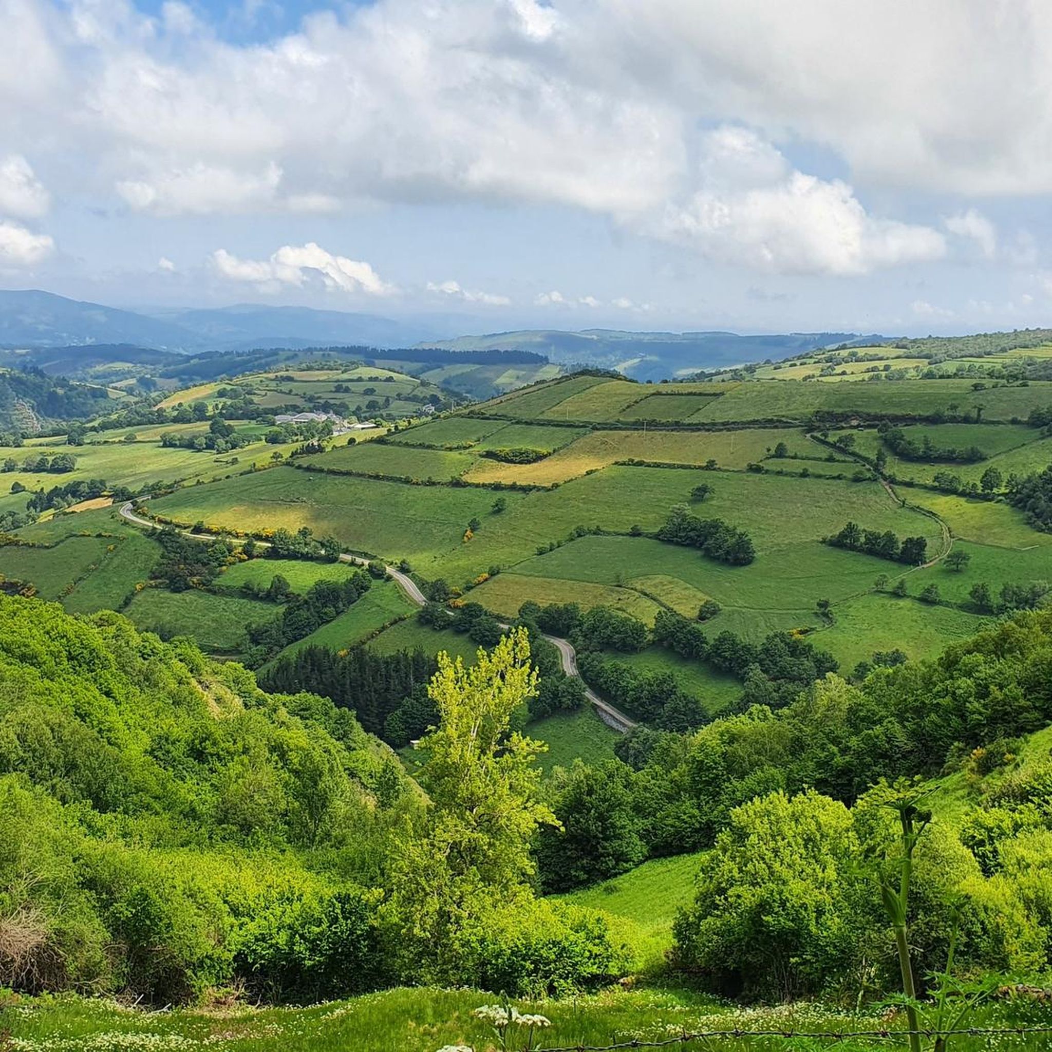
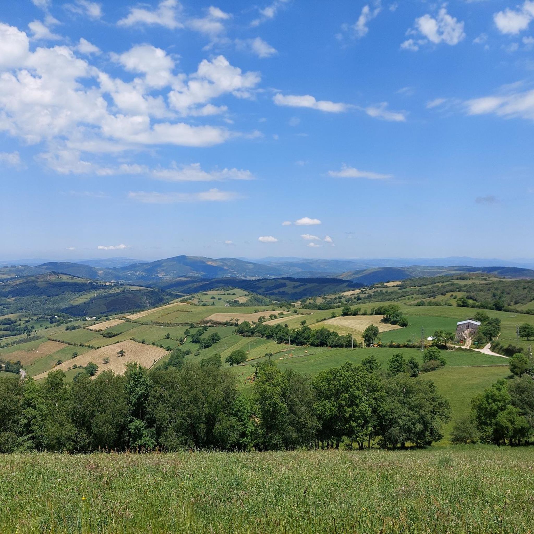
One of the highest points on the French Way of the Camino de Santiago, located between Triacastela and Fonfría, already in the province of Lugo. At 1,335 meters above sea level, this peak offers a natural viewpoint overlooking the Galician mountains. The area is often exposed to wind and changeable weather, even in summer, but the views and the feeling of having reached a milestone more than compensate. There's a hostel/bar right at the summit, useful as a stopping point for pilgrims and cyclists. Dress warmly before reaching the top: the temperature here can drop suddenly, even on sunny days. If you're on a mountain bike or e-bike, make sure you have good traction on descents and that your brakes are checked: the descent towards Fonfría is fast and winding. It's a good place to rest and refill your water or coffee before continuing.
1
0


At the top of the pass there is a small bar where you can stock up on drinks and snacks after the long and steep climb.
3
0
The route over the 3 passes is beautiful and the scenery is very impressive. Once you have reached the Ceibero, the other passes are no longer so strenuous.
3
0

The last real climbs of the Camino are the three peaks of the Cebreiro mountain group, over a distance of approximately 13 km, divided into three equivalent segments. In the first stretch, starting from Pedrafita (1100 m above sea level) and following the LU-633 up to Cebreiro (1300 m.) there are 4 km almost entirely of climbs, which are also very tiring if you are carrying a lot of luggage: the heat accumulated for fatigue can turn into frozen sweat, cold and chills due to possible fog, tiredness and/or dehydration and the difference in temperature compared to Pedrafita; in addition to covering up, it is advisable to stop for a short refreshment at the village bar. In the second stretch you descend to Linares (1220 m), and then climb up to Alto de San Roque (1260 m), which is particularly windy, as evidenced by the statue of the saint placed on the pass of the hill. The third stretch descends again to Hospital (approximately 1250m) and then rises again reaching Alto do Poio (1335m), the highest point of the three peaks. From here the road begins to descend rapidly for about fifteen km up to 660 m. above sea level of Triacastela.
2
0
Beautiful pilgrim statue and always worth a photo motif. In this stage it is one of the passes to cross and it is not the steepest of the passes.
4
0

Often the pilgrim statue is in the Galician fog
5
0
Frequently Asked Questions
What are some notable mountain passes around Triacastela?
The region around Triacastela features several significant mountain passes, integral to the Camino de Santiago. Key passes include Pilgrim Statue at Alto de San Roque, known for its iconic statue and panoramic views, and The three peaks of Cebreiro, which includes Alto do Poio, the highest point in the Galician section of the Camino Francés.
What kind of views can I expect from the mountain passes near Triacastela?
The mountain passes offer spectacular panoramic views of the surrounding valleys and the Sierra de O Rañadoiro. From locations like Pilgrim Statue at Alto de San Roque, you can enjoy unique vistas of the mountainous landscape, often characterized by green Galician countryside, forests, and traditional hamlets.
Are there historical sites or cultural landmarks on these passes?
Yes, the passes are rich in history, particularly due to their connection with the Camino de Santiago. Alto de San Roque features the iconic bronze pilgrim statue, a significant landmark. Alto do Poio historically served as a crucial stop for pilgrims, with a medieval hospital. Additionally, the Samos variant route from Triacastela leads to the Monastery of Samos, one of the oldest Benedictine monasteries.
What is the best time of year to visit the mountain passes near Triacastela?
While the region can be visited year-round, spring and autumn generally offer the most pleasant weather for hiking and cycling, with milder temperatures and beautiful scenery. Summer can be warm, and winter may bring colder temperatures, fog, and winds, especially at higher elevations like Alto do Poio.
Are there challenging climbs among the mountain passes around Triacastela?
Yes, the region is known for challenging climbs. The three peaks of Cebreiro, for instance, represent the last major climbs of the Camino, with Alto do Poio reaching 1335 meters. The San Xil variant route from Triacastela is also generally shorter but involves more climbing than the Samos variant.
What outdoor activities can I do near the mountain passes around Triacastela?
The area offers a variety of outdoor activities. You can find numerous hiking routes, such as the challenging "Albergue A Reboleira – Church of San Xoán de Hospital loop from Fonfría" or the moderate "View of Sarria – Sculpture loop from Calvor." For cyclists, there are road cycling routes like the "Cebreiro Pass – Samos (Galicia, Spain) loop from Renche" and MTB trails including the "Hiking from Teso da Lama Figueiro y Becerreá to As Nogais - circular route." You can explore more options on the Hiking around Triacastela, Road Cycling Routes around Triacastela, and MTB Trails around Triacastela guide pages.
What makes the Pilgrim Statue at Alto de San Roque special?
The Pilgrim Statue at Alto de San Roque is an iconic bronze artwork by Galician sculptor José María Acuña, installed in 1993. Situated at 1270 meters altitude, it depicts a pilgrim battling the wind, symbolizing the perseverance of those on the Camino de Santiago. It's one of the most photographed landmarks on the Camino and offers unique panoramic views.
What choices do pilgrims have when departing Triacastela?
Upon departing Triacastela, pilgrims can choose between two distinct routes before rejoining further along the Camino. The San Xil Variant is shorter (about 18 km) with more climbing and excellent views through hamlets and lush forests. The Samos Variant is longer (approximately 25 km) with less climbing, following a valley and offering the opportunity to visit the historic Monastery of Samos.
Are there family-friendly options for exploring the passes?
While some passes involve challenging climbs, the general area around Triacastela offers varied terrain. The Samos variant route, for example, has less climbing and follows a valley, which might be more suitable for families seeking a less strenuous experience. Always check specific route details for difficulty and length to ensure it aligns with your family's capabilities.
What do visitors appreciate most about the mountain passes in this region?
Visitors highly appreciate the breathtaking panoramic views, the profound sense of accomplishment after reaching the summits, and the rich historical and cultural significance tied to the Camino de Santiago. The iconic landmarks like the Pilgrim Statue at Alto de San Roque and the serene natural beauty of the Galician countryside are frequently highlighted.
Can I go cycling on or near these mountain passes?
Yes, the region is popular for cycling. There are several road cycling routes, including those that traverse the passes, such as the "Alto do Poio – Cebreiro Pass loop from Padornelo." Mountain biking trails are also available, like the "Alto do Poio – La Faba loop from O Biduedo." You can find more details on the Road Cycling Routes around Triacastela and MTB Trails around Triacastela guide pages.
Is there public transport available to reach the mountain passes?
Triacastela is a significant stopping point on the Camino de Santiago, and while direct public transport specifically to the highest points of the passes might be limited, pilgrims and visitors often arrive in Triacastela by bus. From there, the passes are typically accessed by foot or bicycle as part of the Camino routes. It's advisable to check local bus schedules for connections to Triacastela or nearby towns.
Most popular attractions around Triacastela

Get inspired with the komoot mobile app


Explore more
See even more epic mountain passes by checking out these guides around Triacastela:
