Top 20 Natural Monuments around Manningford
Best natural monuments around Manningford are situated within the Vale of Pewsey and the Wessex Downs Area of Outstanding Natural Beauty. This region features a landscape of rolling chalk downs, ancient woodlands, and river valleys. The area offers a blend of historical earthworks, natural formations, and significant cultural sites. Visitors can explore a variety of natural and historical attractions that showcase the area's heritage and environment.
Best natural monuments around Manningford
- The most popular natural monuments is Silbury Hill,…
Last updated: July 1, 2026
Silbury Hill
Highlight • Monument
Tip by

West Kennet Long Barrow
Highlight • Historical Site
Tip by

Sign up now to discover places like this
Get recommendations on the best single tracks, peaks, & plenty of other exciting outdoor places.
Sign up for free
Devil's Den Dolmen
Highlight • Historical Site
Tip by

Walkers Hill
Highlight • Natural Monument
Tip by

Alton Barnes White Horse
Highlight • Viewpoint
Tip by

Sign up for free to discover even more natural monuments around Manningford.
Sign up for free
Already have an account?
Start today with a free account
Your next adventure awaits.
Login or Signup

Tips from the Community


Devil's Den stone monument is a Neolithic dolmen (burial chamber) located in Wiltshire, near Marlborough, not Sturminster Newton. The structure features a massive 17-ton capstone resting on two upright sarsen stones. Local folklore claims that if water is poured into the hollows on the capstone, the Devil himself will come during the night to drink it. It was largely reconstructed in 1921 after the chamber collapsed.
0
0

Sidbury Hill, or Sidbury Camp, is the site of an Iron Age bivallate hillfort on the eastern edge of Salisbury Plain in Wiltshire, England. The site is sub-triangular in shape, approximately 17 acres in area, and is constructed on the site of a Neolithic settlement. The hill offers excellent defensive slopes on all sides, which have been supplemented by the double ditch and rampart earthworks. The settlement and hillfort were partially excavated in the 19th century and the 1950s; there were finds of pottery and other artefacts. A Neolithic settlement site was discovered during the excavation in the 1950s, being of a section of the south-east rampart of the hillfort. A number of flint flakes and tools were recovered. The site is a scheduled national monument. Trees planted in the 1960s were removed from 2002 and the area was allowed to revert to the natural chalk downland. Access to the site is difficult as it is on, or near, Ministry of Defence land, and there are many tank tracks and occasional artillery firing in the area. There are also numerous ditches, barrows, trackways, field systems, and tumuli in the area. Due to erosion issues climbing on the barrow is now forbidden. Such a shame, but understandable.
0
0
A well preserved bell barrow, the mound of which measures 22m in diameter and stands up to 2.8m high. The mound is surrounded by a berm up to 5m in diameter and a ditch 0.7m deep and up to 6.2m wide. One of these two bell barrows produced a sherd of Bronze Age pottery and a fragment of a polished greenstone axe, both found by Owen Meyrick. A bell barrow, the mound of which measures 24m in diameter and stands 2.7m high. The berm and ditch which surround this barrow have been levelled by cultivation on three sides but survive as buried features on the fourth. From measurements on the western side it can be seen that the berm is c.3m wide and that the ditch is c.5m wide.
0
0
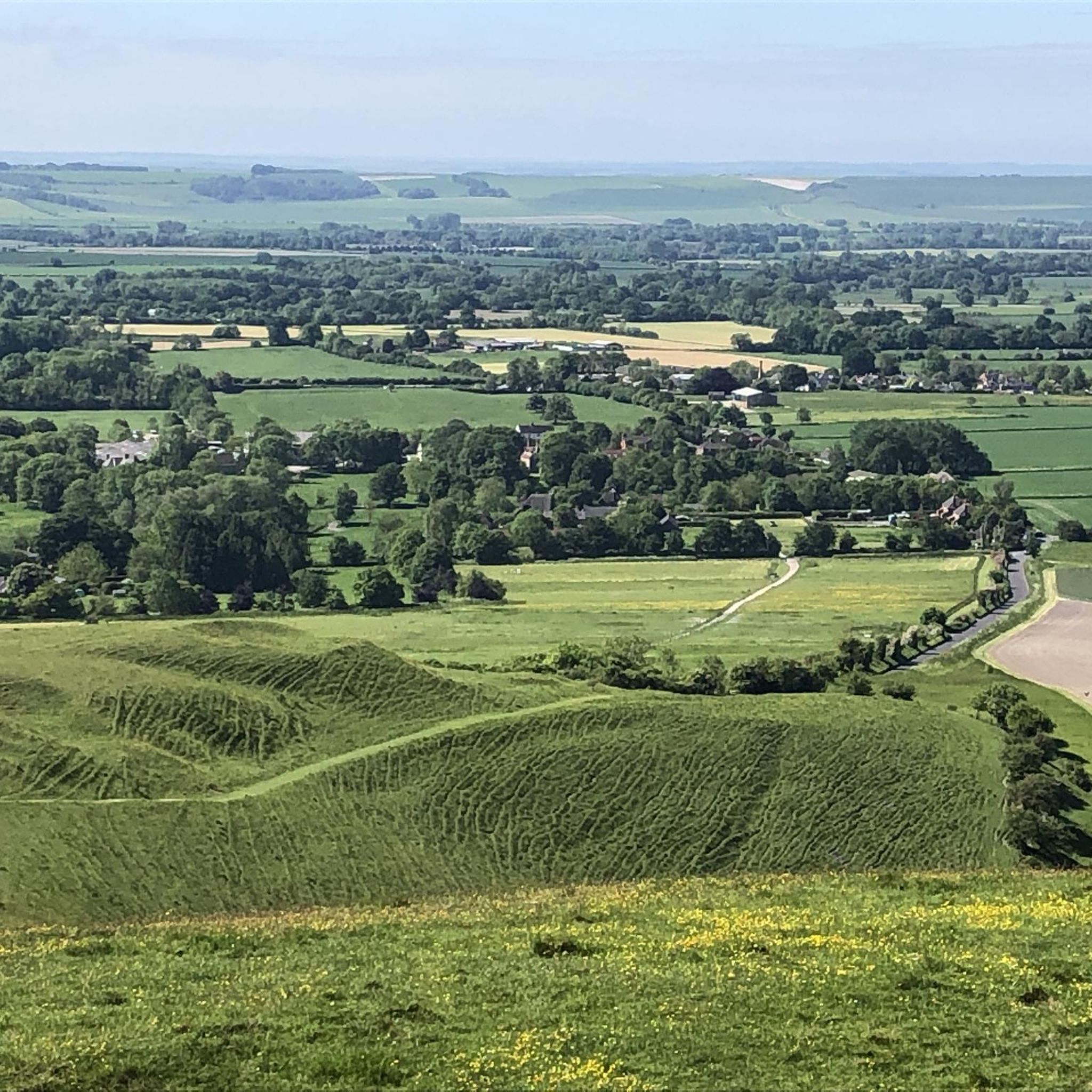
Who wouldn't want to walk into a neolithic burial chamber? anybody? no? didn't think so!!! It was amazing!!! The monument includes six prominent Bronze Age round barrows which form part of a larger round barrow cemetery north-east of West Kennett Farm and west of the Ridgeway track on Overton Hill. This is the site of a round barrow which, despite being ploughed level, will contain archaeological information; the old ground surface beneath the mound and the surrounding quarry ditch, from which material was quarried during construction of the monument, will survive as buried features. The area of the mound has a diameter of 33m; the surrounding ditch is c.2m wide. A bowl barrow, the mound of which measures 41.5m in diameter and stands up to 1.2m high. The mound is surrounded by a ditch which has become infilled over the years but which survives as a buried feature c.3m wide. This barrow has been partially excavated on two occasions, in 1857 by Thurnham and again in 1882 by W & H Cunnington. The primary cremation burial was not located but two secondary cremations were recovered. One was located north- west of the centre of the mound and was accompanied by a flint scraper and a serrated flint flake; the other was situated east of the centre and contained pottery sherds of two vessels, a beaker and an urn, as well as a piece of antler and several bone pins. A bowl barrow, the mound of which measures 42m in diameter and stands up to 0.7m high. The barrow has been partially excavated on two occasions, in 1857 by Thurnham and in 1882 by Ponting. These revealed that the barrow mound contained a crouched skeleton in a grave partly lined and roofed with sarsens. This was covered by a sarsen cairn, itself ringed by a double circle of sarsen stones c.1m outside the edge of the cairn. There was no evidence of a ditch around this barrow. Other finds included a later crouched skeleton covered with sarsen stones, the skeleton of a child, three large urns full of burnt bones and the perforated head of a bone pin. A well preserved bell barrow, the mound of which measures 26m in diameter and stands up to 3m high. The mound is surrounded by a gently sloping berm or platform c.3m wide and a ditch 0.5m deep and up to 6.4m wide.
0
0
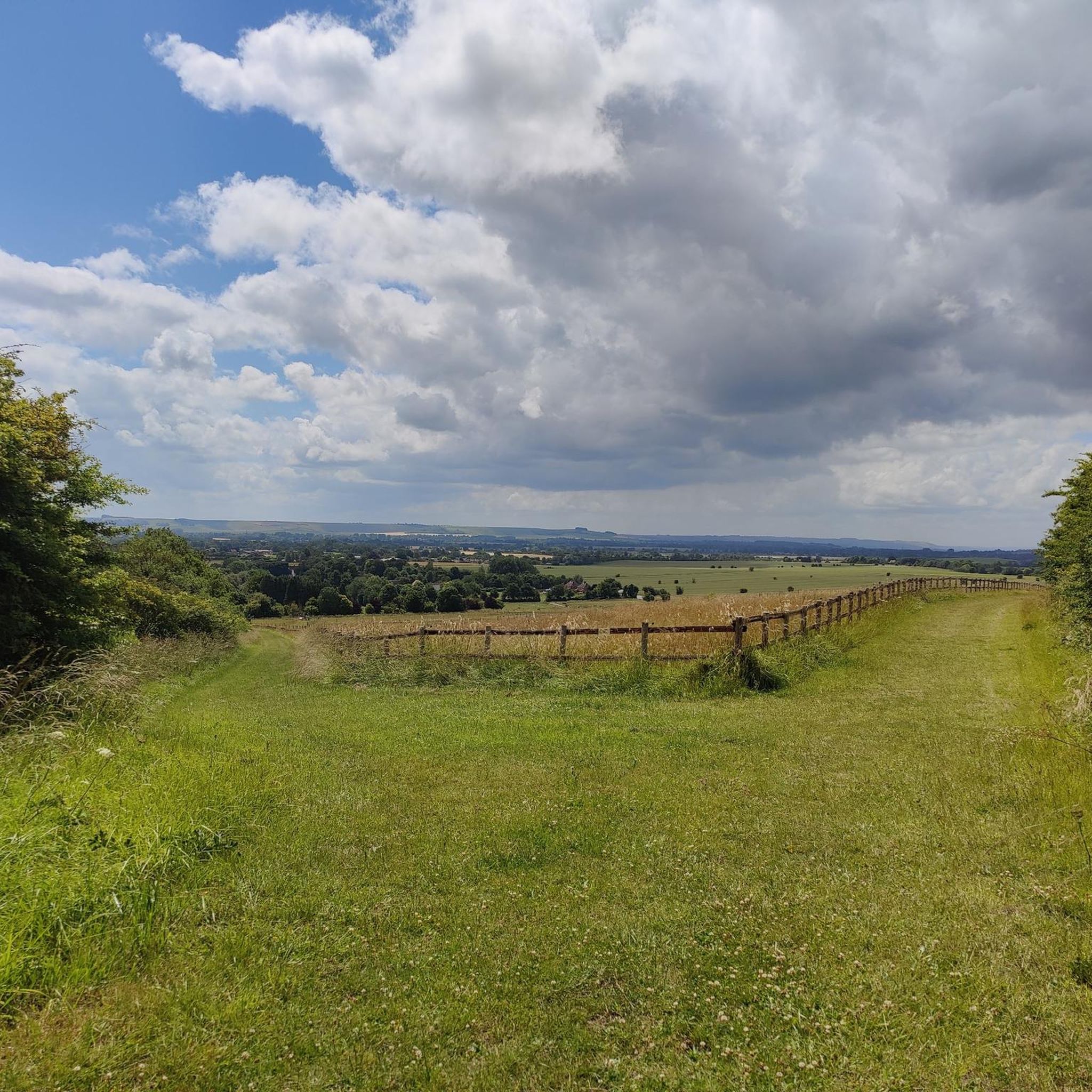
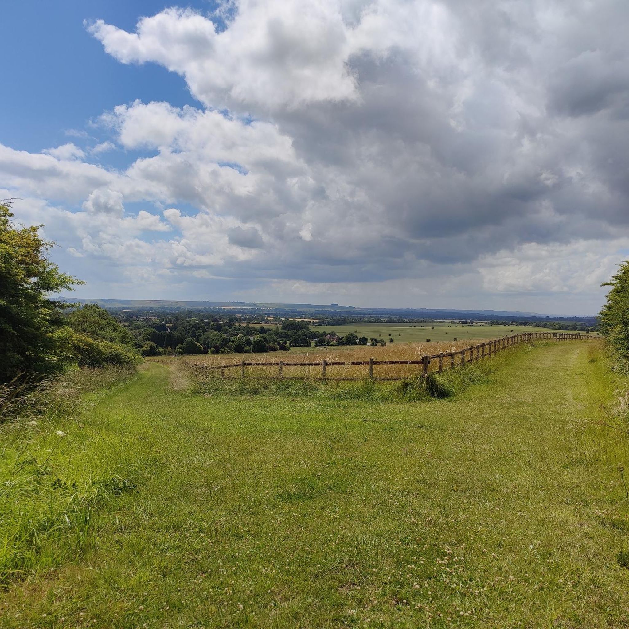
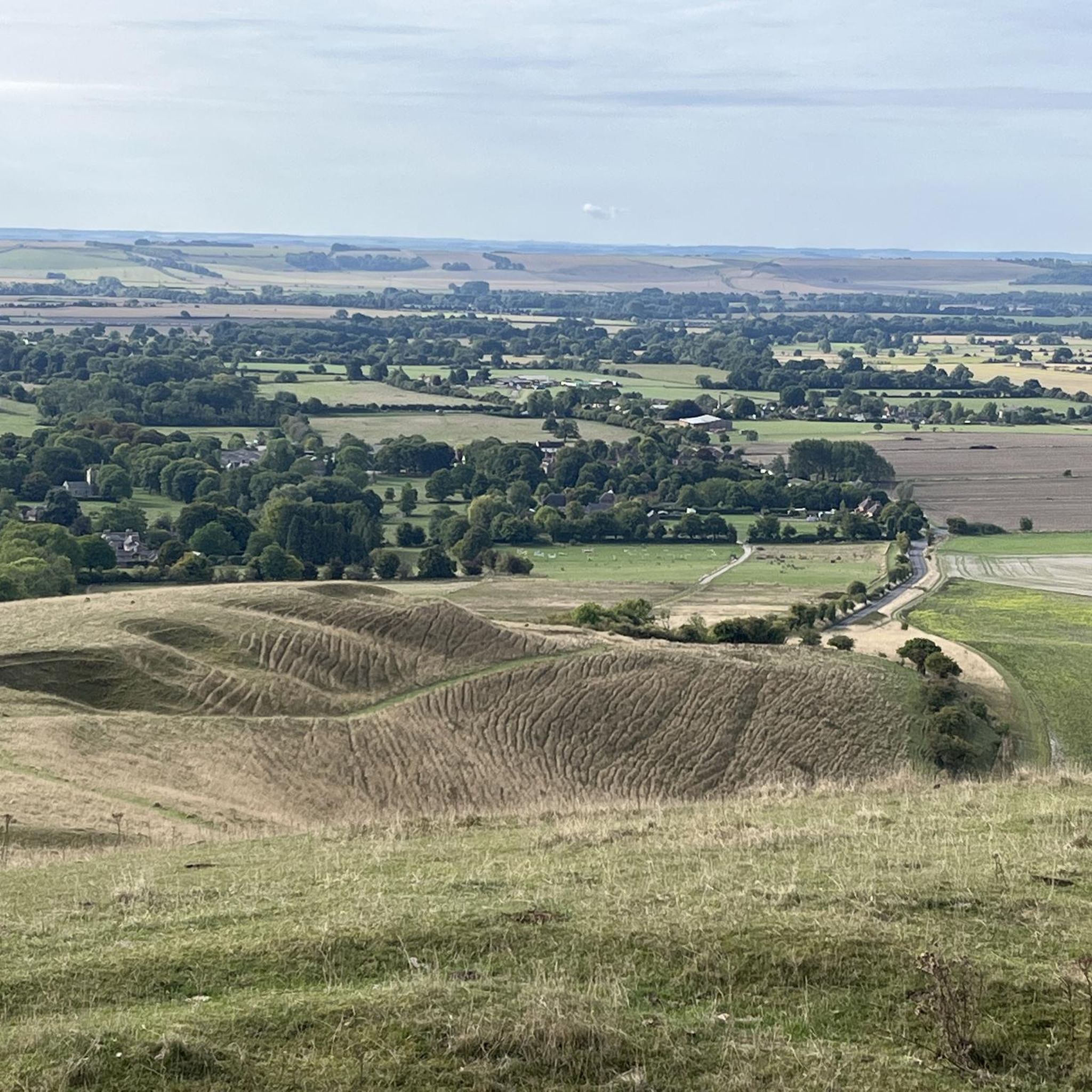
Adam’s Grave on Walker's Hill in Alton, the most dramatically located Neolithic long barrow in Wiltshire and the site of battles in 592 and 715. The area surrounding Walker's Hill is pitted and speckled with barrows and ditches of many sizes and shapes.
0
0
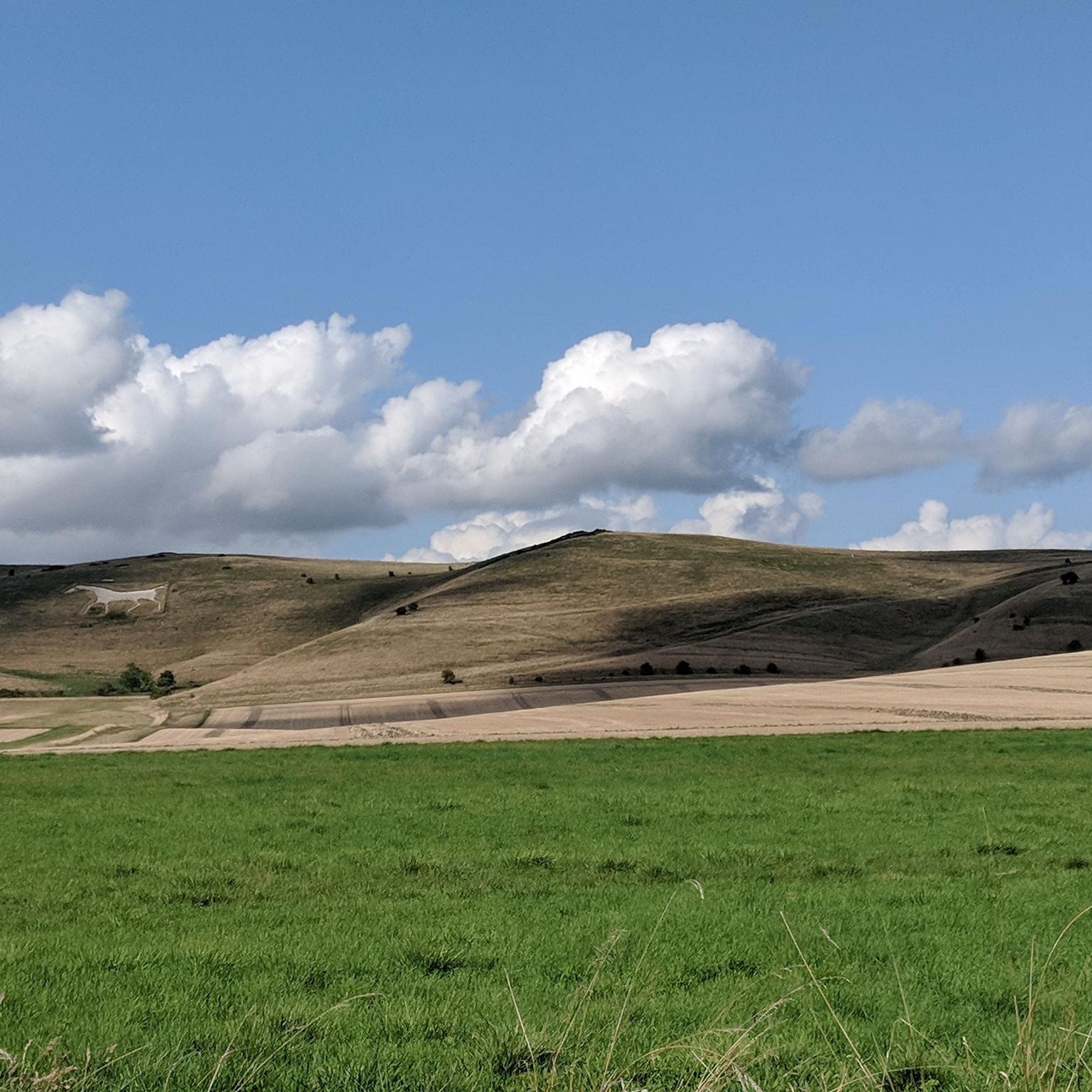
A wonderful sweep of chalk downland located to the north of the Pewsey Vale and in the North Wessex Downs National Landscape. The reserve covers three hills and includes Alton Barnes White Horse cut into the chalk hillside. There are great opportunities for wildlife and landscape photography with views stretching across the Vale of Pewsey to Salisbury Plain. Pewsey Downs National Nature Reserve is also part of a Site of Special Scientific Interest (SSSI), recognising the range of chalk grassland plants and the associated butterflies (28 species). While you are there, also look out for the Sarsen stones, known locally as ‘Grey Weathers’.
0
0
Frequently Asked Questions
What kind of natural monuments can I explore around Manningford?
The Manningford area, situated within the Vale of Pewsey and the Wessex Downs Area of Outstanding Natural Beauty, offers a mix of historical earthworks, ancient burial chambers, and significant viewpoints. You can explore sites like the mysterious Silbury Hill, the Neolithic West Kennet Long Barrow, and the intriguing Devil's Den Dolmen.
Are there any natural monuments suitable for families with children?
Many of the natural monuments around Manningford are suitable for families, offering engaging historical insights and opportunities for outdoor exploration. Sites like West Kennet Long Barrow allow visitors to enter the chambers, which can be an exciting experience for children. The area's rolling downs also provide open spaces for walks.
What historical natural monuments can I visit in the Manningford area?
Manningford is rich in historical natural monuments. Beyond the well-known Silbury Hill and West Kennet Long Barrow, you can also visit Walkers Hill, which features Adam's Grave, a notable Neolithic long barrow, and other prehistoric earthworks. Swanborough Tump, an ancient earthwork with medieval significance, also offers a glimpse into the region's past.
Where can I find impressive views of the landscape?
For exceptional views, head to Walkers Hill, which offers fantastic vistas of the Vale of Pewsey and the surrounding downland. Another excellent spot is the area around the Alton Barnes White Horse, where you can enjoy sweeping views across the Vale of Pewsey to Salisbury Plain.
Are there opportunities for walking or hiking near these natural monuments?
Yes, the Manningford area is ideal for walking and hiking. The Wessex Downs Area of Outstanding Natural Beauty provides numerous scenic routes. You can explore the tranquil Kennet and Avon Canal towpath or follow sections of the White Horse Way, which offers impressive views of the iconic chalk figures. For more structured routes, check out the Running Trails around Manningford guide.
What kind of wildlife can I expect to see around Manningford's natural sites?
The Kennet and Avon Canal is a vibrant waterway teeming with wildlife, where you can observe various birds and aquatic species. The Pewsey Downs National Nature Reserve, near the Alton Barnes White Horse, is known for its chalk grassland plants and a diverse range of butterflies, with 28 species recorded.
Can I go cycling or gravel biking near the natural monuments?
Absolutely. The region offers excellent opportunities for cycling and gravel biking. You can find various routes that take you through the picturesque landscape. For detailed options, refer to the Gravel biking around Manningford and Cycling around Manningford guides, which list routes of varying difficulty.
What is the best time of year to visit the natural monuments in Manningford?
The natural monuments around Manningford can be enjoyed year-round. Spring and summer offer lush green landscapes and warmer weather, ideal for walking and wildlife spotting. Autumn brings beautiful colours to the downs, while winter provides crisp views, though some paths might be muddy. Always check local conditions before your visit.
Are there any unique man-made features integrated into the natural landscape?
Yes, the area is famous for its iconic chalk hill figures. The Alton Barnes White Horse is a prominent example, carved into the chalk hillside. These figures blend human artistry with the natural landscape, offering a unique visual experience.
What do visitors enjoy most about the natural monuments in Manningford?
Visitors frequently appreciate the blend of history and natural beauty. Many enjoy the sense of mystery surrounding sites like Silbury Hill and the opportunity to explore ancient burial chambers at West Kennet Long Barrow. The stunning views from viewpoints like Walkers Hill and the tranquil atmosphere of the Kennet and Avon Canal are also highly praised.
Are there any easy or beginner-friendly trails to access these sites?
Many of the paths along the Kennet and Avon Canal are relatively flat and easy, suitable for beginners. While some trails to the hill monuments involve slight elevation, they are generally manageable. For specific easy routes, you can check the Running Trails around Manningford guide, which includes an easy 4.3km loop from Manningford Bruce.
Most popular attractions around Manningford

Get inspired with the komoot mobile app


Explore more
Extend your search for the best caves by checking out these guides of the top ones around Manningford:
