Top 18 Natural Monuments around Poynings
Best natural monuments around Poynings are situated within the South Downs National Park in West Sussex, offering diverse natural features. The area is characterized by significant geological formations, such as dry valleys and prominent hills, alongside ancient woodlands. These sites provide ecological diversity and historical interest, making them notable for exploration. The landscape around Poynings is well-regarded for its natural beauty and varied terrain.
Best natural monuments around Poynings
- The most popular natural monuments is Ditchling Beacon, a natural_monument…
Last updated: June 29, 2026
Ditchling Beacon
Highlight • Natural Monument
Tip by

Devil's Dyke
Highlight • Historical Site
Tip by

Sign up now to discover places like this
Get recommendations on the best single tracks, peaks, & plenty of other exciting outdoor places.
Sign up for free
Sussex Border Path: Ditchling Beacon to Fishersgate
Highlight (Segment) • Trail
Tip by

South Downs Way – Fulking Hill Ridge
Highlight (Segment) • Natural Monument
Tip by

Dew Pond with Lone Tree
Highlight • Structure
Tip by

Sign up for free to discover even more natural monuments around Poynings.
Sign up for free
Already have an account?
Start today with a free account
Your next adventure awaits.
Login or Signup

Tips from the Community

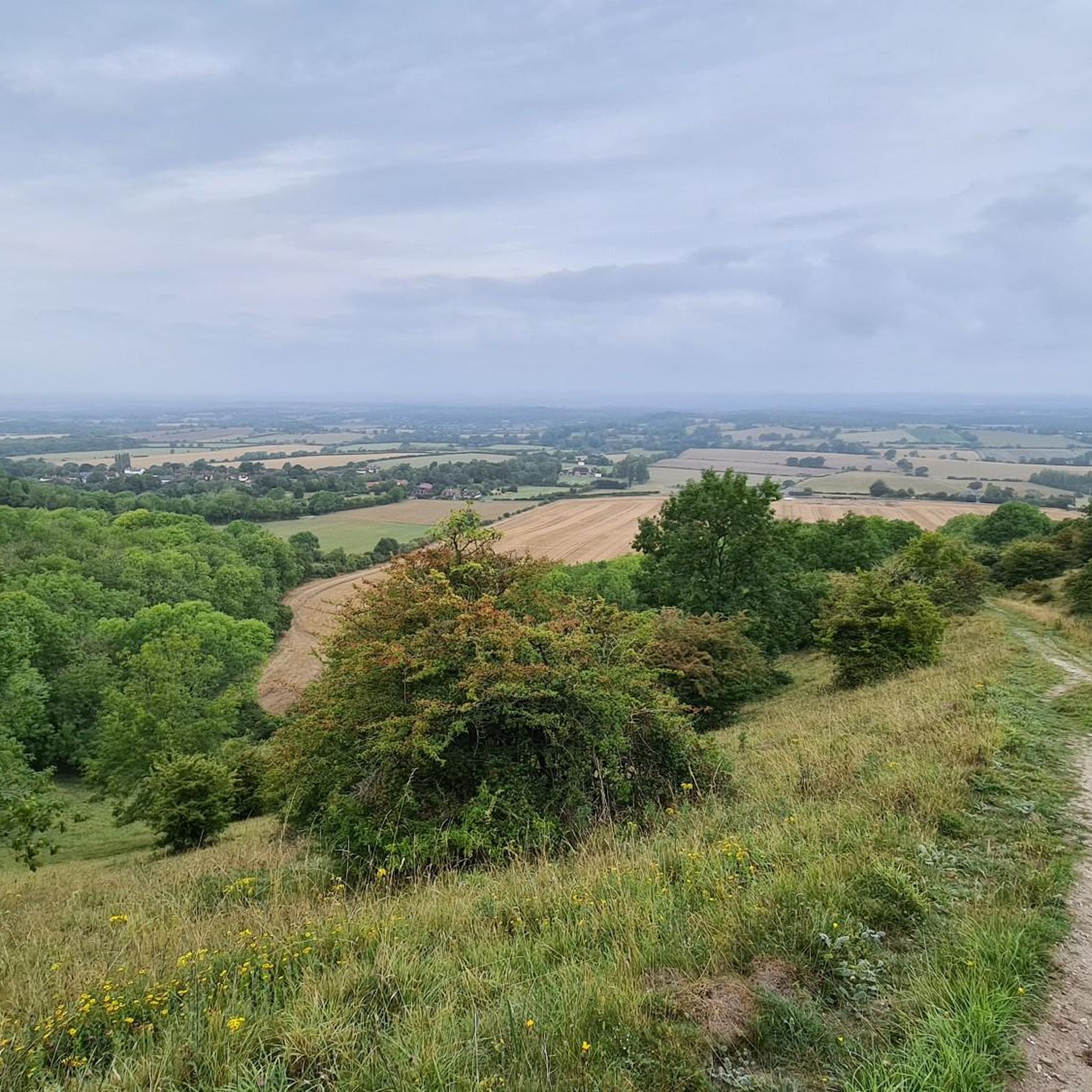
nice steady climb with breathtaking views, if you turn left at the gate (before crossing) you will see a path to your further left leading to a pub called Sheppard and Dog with a nice beer garden - this is a S2 descent so be careful
0
0


The Sussex Border Path is a long-distance footpath that is nearly 150 miles (241 km) long and goes around the county boundary of Sussex. It is a relatively new trail initiated in 1983, and since its inception, the route has only traced the county boundary. As Sussex has been split administratively into east and west for many years, there is now a new border path section running from East Grinstead to Brighton, reflecting these east and west sections. This is part of that section and runs from Ditchling Beacon to Fishersgate, or vice versa. The section is 12 miles (19 km) long and consists of Ditchling Beacon itself, sections of beautiful bridleways with sea views, and the famous Chattri Indian War Memorial.
1
1
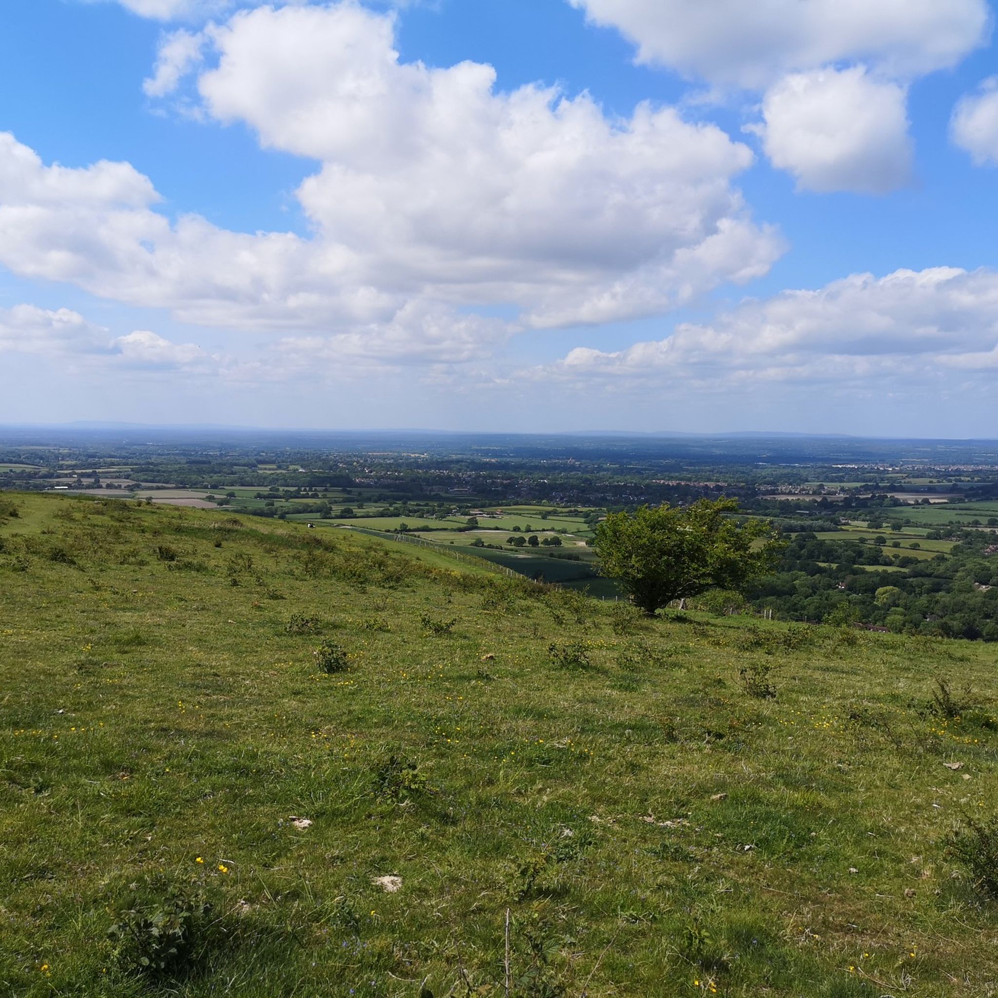
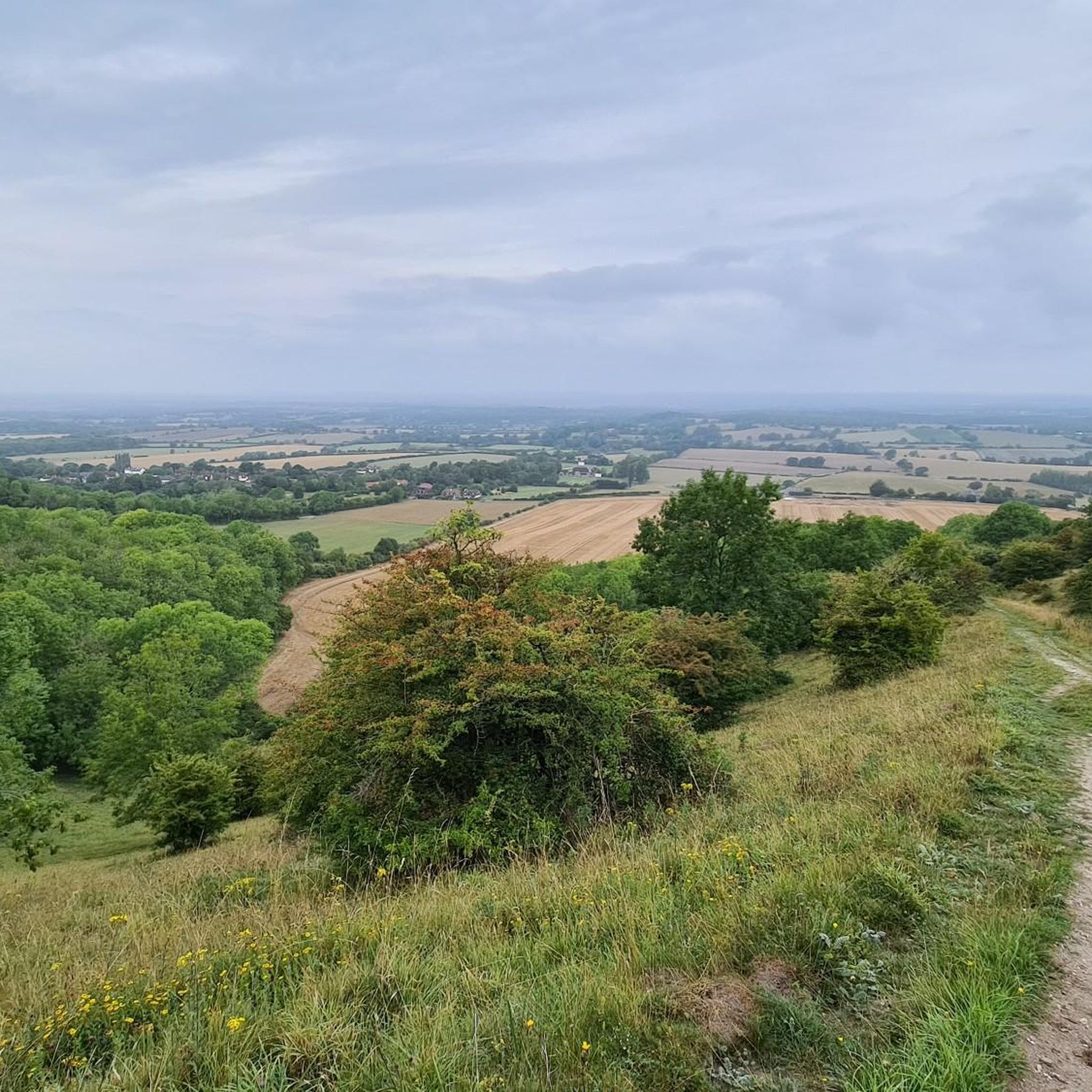
At over 650 feet (200 m), Ditchling Beacon gives you a good climb and a great vantage point to see out over the surrounding countryside. To the north you look back at the lush countryside of the Weald, to the south are views of Brighton, and to the east and west, the rolling undulating views out over the South Downs.
1
1

This is a beautiful spot, there is a trig point that is placed on one of the ramparts of the actual Iron Age hillfort here. It is very popular with walkers, and families. The valley bowl is also particularly beautiful.
1
0

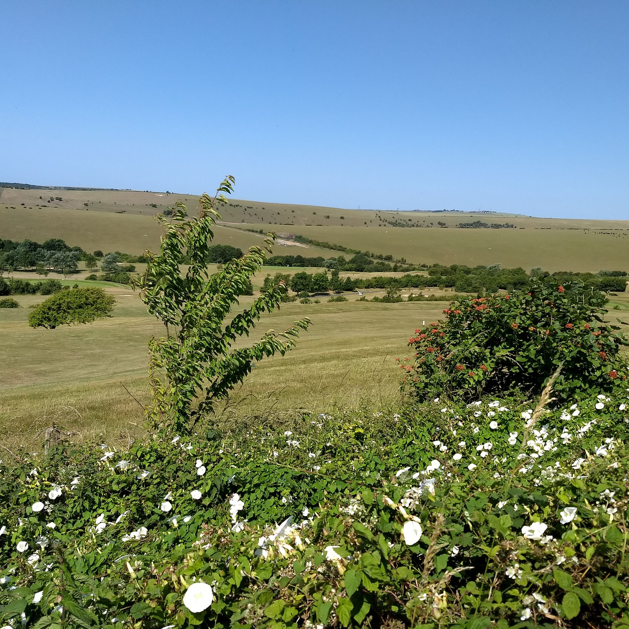
Be warned of the water fullies added to the track. Sometimes the gates in the vallies are shut, sometimes not. The grass section is stunning for the views on a good day. Once at the top, it's a very gentle climb to Devils Dyke so you're nearly there.
1
0
Frequently Asked Questions
What are the most popular natural monuments around Poynings?
The area around Poynings, within the South Downs National Park, features several highly regarded natural monuments. Among the most popular are Ditchling Beacon, known as the highest point along the Sussex Downs with panoramic views, and Devil's Dyke, a dramatic V-shaped dry valley with significant geological and historical interest. Wolstonbury Hill also offers extensive views across the Downs and the Weald.
What unique natural features can I see at the natural monuments near Poynings?
You can explore a variety of unique natural features. Devil's Dyke is the UK's longest, deepest, and widest dry valley, formed during the Ice Age. Newtimber Hill features outstanding calcareous grassland rich in species like dwarf thistle and various orchids. The ancient woodlands near Poynings, such as Stonestaples Wood, offer lush canopies and diverse plant life, including hornbeam stools, anemones, and bluebells.
Do these natural monuments have historical significance?
Yes, many of the natural monuments around Poynings are steeped in history. Both Ditchling Beacon and Devil's Dyke feature well-preserved ramparts of Iron Age hillforts, indicating their use as early settlements. Devil's Dyke also has local folklore associated with its formation and remnants of a Victorian funfair, including a funicular railway.
Are there family-friendly natural monuments around Poynings?
Yes, Devil's Dyke is noted as a family-friendly destination, offering space for walking and relaxing in nature. The area's diverse landscapes provide opportunities for families to explore and enjoy the outdoors together.
Are the natural monuments around Poynings dog-friendly?
Many areas are suitable for dogs. For example, the Dew Pond with Lone Tree is specifically mentioned as a place where dogs love to dip into the water. Always ensure dogs are kept under control, especially near livestock or sensitive wildlife areas.
When is the best time to visit the natural monuments around Poynings?
The natural monuments are beautiful year-round, but spring and summer are particularly rewarding. During these seasons, you can witness the vibrant wildflowers and various butterfly species, such as the adonis blue and silver-spotted skipper, especially at sites like Devil's Dyke and Newtimber Hill. Autumn also offers stunning foliage in the ancient woodlands.
What kind of wildlife can I expect to see at the natural monuments?
The area is rich in biodiversity. At Devil's Dyke, you might spot horseshoe vetch, common spotted orchids, and the adonis blue butterfly, along with buzzards and red kites overhead. Newtimber Hill is home to the rare silver-spotted skipper butterfly and glowworms in some years. Ancient woodlands are known for various fungi, anemones, primroses, and bluebells.
What outdoor activities can I do near these natural monuments?
The natural monuments around Poynings are excellent for various outdoor activities. You can enjoy hiking, mountain biking, and road cycling. For detailed routes, explore the guides for MTB Trails around Poynings, Road Cycling Routes around Poynings, and Easy hikes around Poynings.
Are there hiking trails near these natural monuments?
Yes, there are numerous hiking opportunities. For example, you can find easy loop trails around Devil's Dyke, ranging from 3 km to 5 km. The South Downs Way also passes through the area, offering longer, more challenging sections. You can find more options in the Easy hikes around Poynings guide.
How difficult are walks to natural monuments near Poynings?
Walks vary in difficulty. While some trails around Devil's Dyke are considered easy, ascents to summits like Wolstonbury Hill can be challenging, especially from the north. Ditchling Beacon also involves a good climb. It's advisable to check specific route details for elevation and terrain before heading out.
Which natural monuments offer the best panoramic views?
For breathtaking panoramic views, Ditchling Beacon is a top choice, offering vistas across the Weald, the English Channel, and the South Downs. Devil's Dyke also provides stunning views that John Constable famously described as 'the grandest view in the world'. Wolstonbury Hill and Newtimber Hill similarly offer expansive outlooks over the surrounding landscapes.
Are there any ancient woodlands to explore near Poynings?
Yes, the area around Poynings is home to beautiful ancient woodlands, some with trees dating back about a thousand years. Poynings Woodland, north of Devil's Dyke, is a notable example. Stonestaples Wood, within Poynings parish, is particularly rich in fungi and features old hornbeam stools under an ash canopy, along with seasonal wildflowers like bluebells.
Most popular routes around Poynings
Most popular attractions around Poynings

Get inspired with the komoot mobile app


Explore more
Extend your search for the best caves by checking out these guides of the top ones around Poynings:
