The best walks and hikes around Langstedt
4.5
(3347)
10,312
hikers
475
hikes
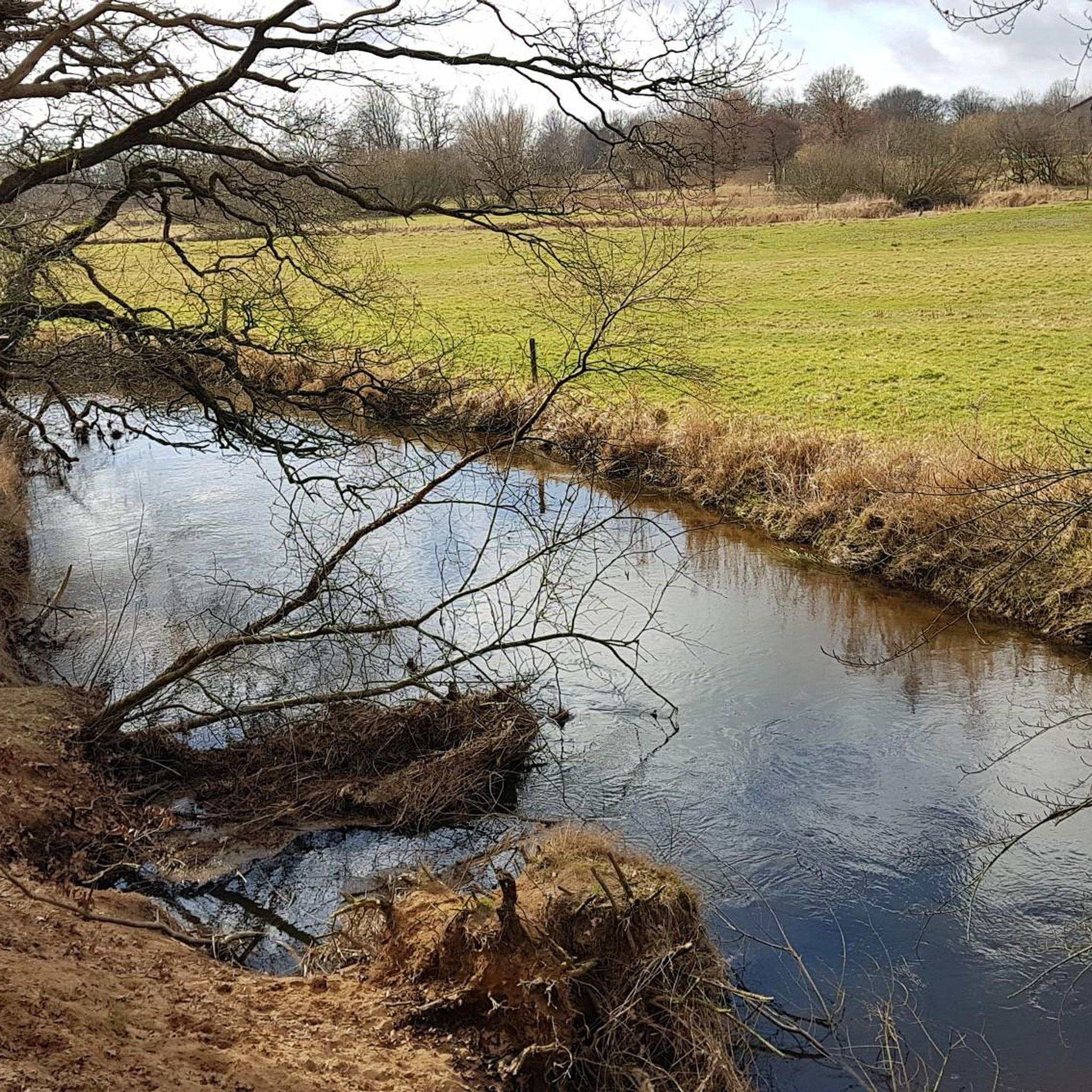
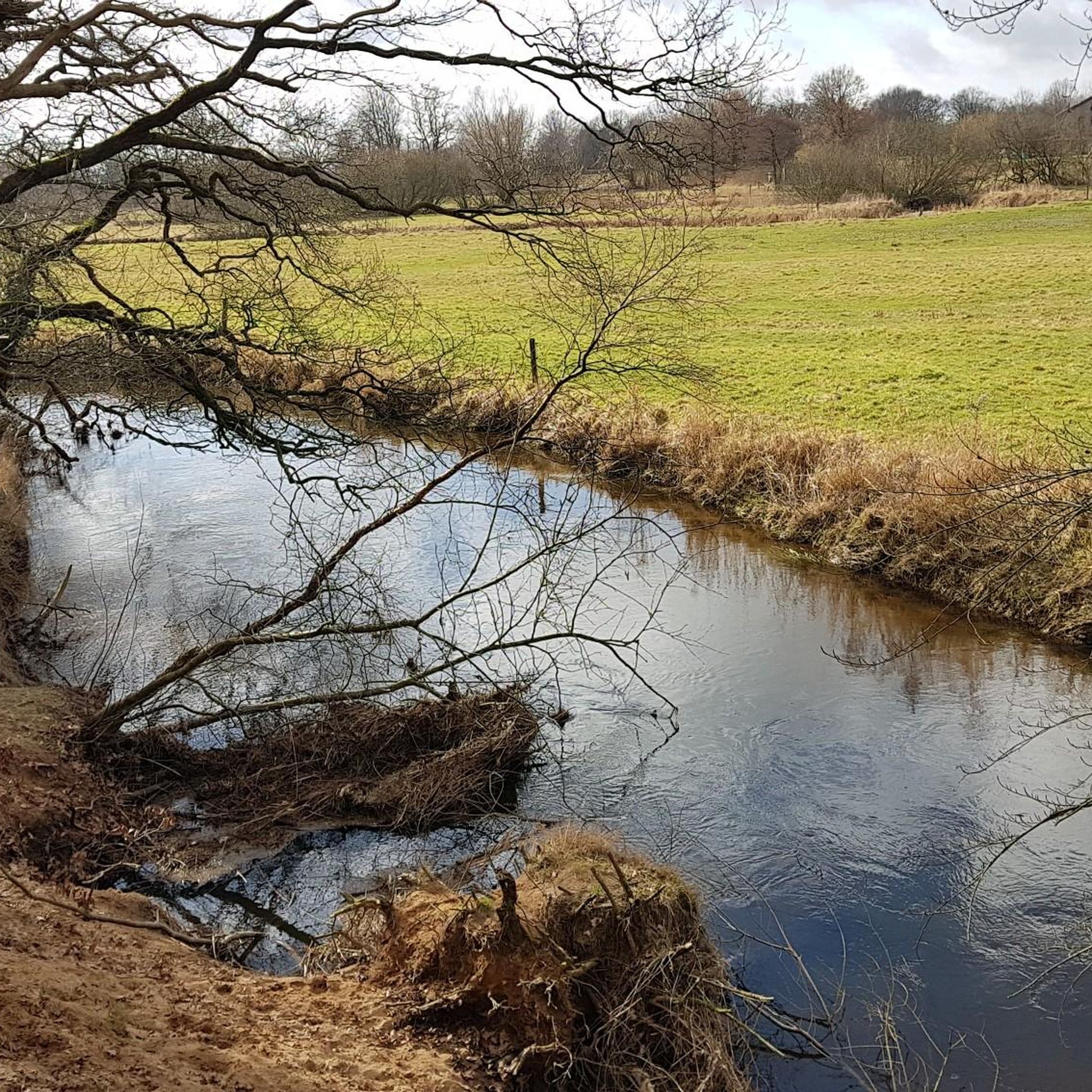
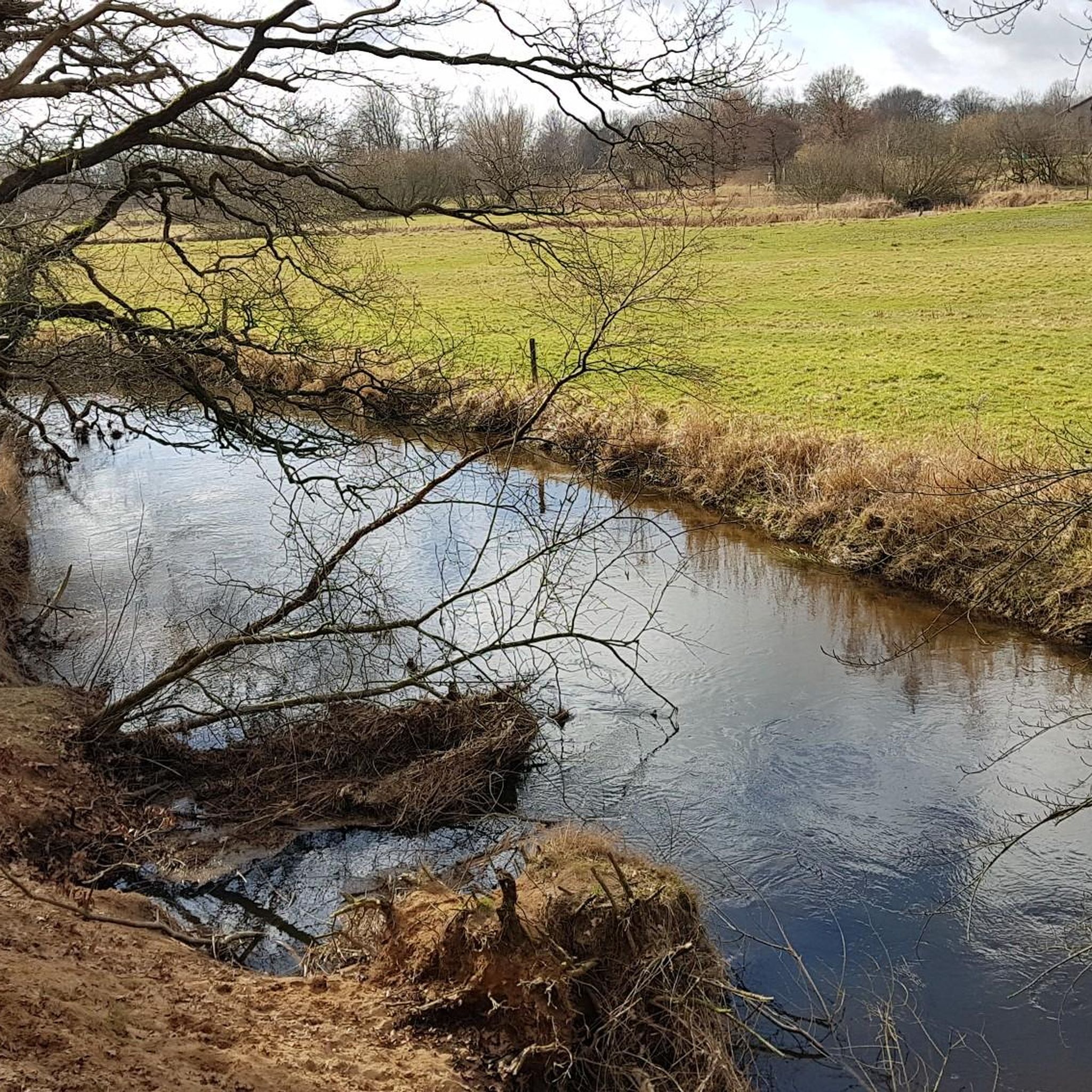
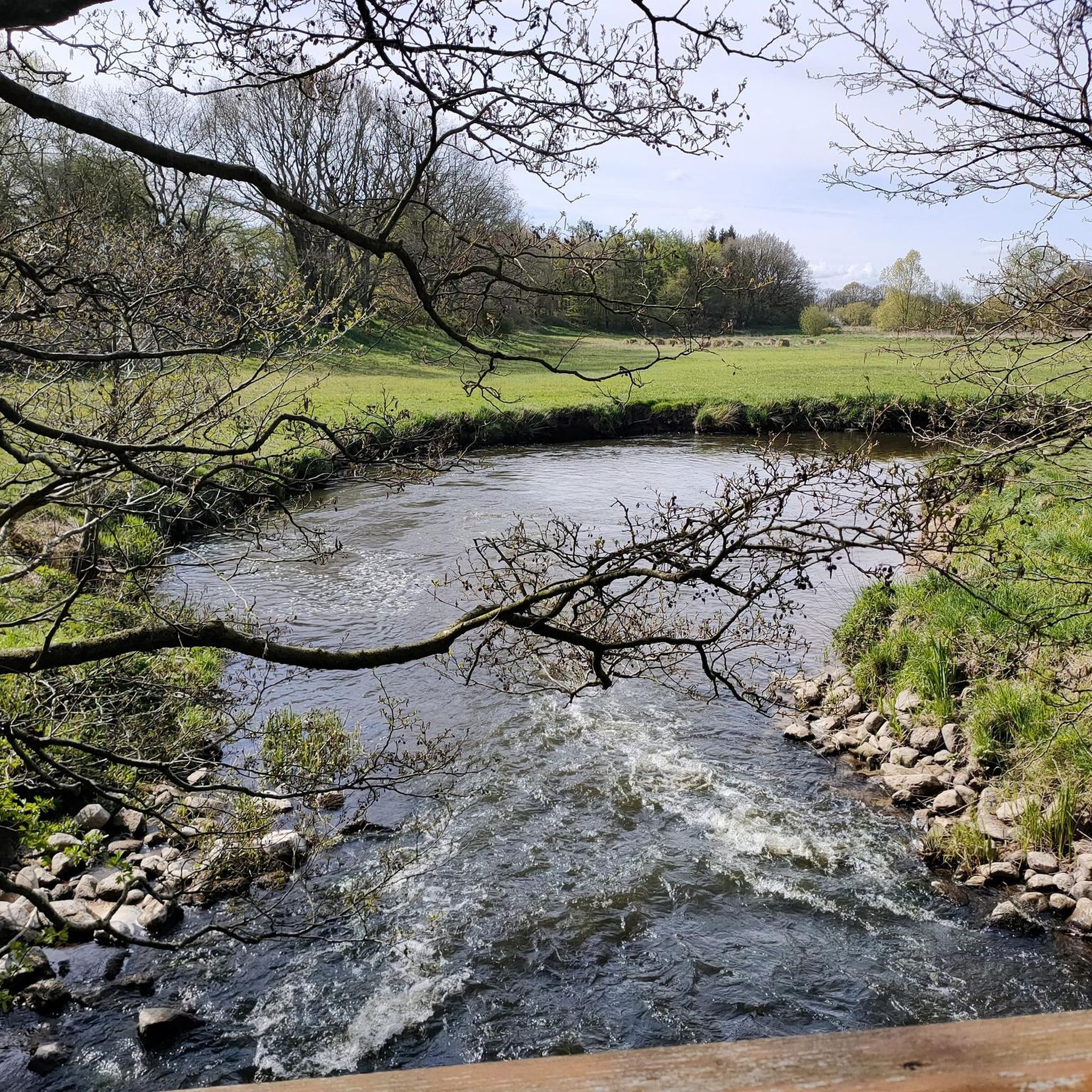
Hiking around Langstedt offers diverse outdoor experiences within the Schleswig-Flensburg district of Schleswig-Holstein, Germany. The region is characterized by its location on the Schleswigschen Geest, featuring gentle hills and varied terrain shaped by glacial deposits. Defining natural features include the Treenetal Nature Reserve, the Treene river, and nearby heathland landscapes, providing a mix of riverine, open, and forested environments. The Büsch Auer Forst also contributes forested areas for exploration.
Best hiking trails around Langstedt
- The most popular hiking route is…
Last updated: October 13, 2026
4.7
(36)
90
hikers
24.1km
06:10
90m
90m
Hard hike. Very good fitness required. Easily-accessible paths. Suitable for all skill levels.
4.8
(11)
22
hikers
Moderate hike. Good fitness required. Easily-accessible paths. Suitable for all skill levels.

4.8
(12)
33
hikers
Easy hike. Great for any fitness level. Easily-accessible paths. Suitable for all skill levels.
4.5
(15)
39
hikers
Moderate hike. Good fitness required. Easily-accessible paths. Suitable for all skill levels.
4.8
(10)
30
hikers
Easy hike. Great for any fitness level. Easily-accessible paths. Suitable for all skill levels.
Get access to more routes and recommendations from other explorers.
Already have an account?
Our route recommendations are based on thousands of hikes, rides, and runs completed by other people on komoot.
Start today with a free account
Your next adventure awaits.
Tips from the Community

Good entry point and also suitable for a break☝️😉
0
0

Very delicious, homemade cakes, and a wide selection of various treats.
0
0

Open Friday to Monday from 2-5 pm. Often very crowded in the summer. But there are many treats like waffles, cakes, chocolates, and candies.
1
0

Bonbon Café Hünning offers a good selection of cakes🍰 and waffle creations.☕️🍪🧁 And for those with a sweet tooth who haven't had enough, there are plenty of snacks 😋
0
0


Tip: The heather is in bloom from August 8th to September 9th – a definite enrichment for your visit to this beautiful little heath landscape.
1
0

The Bonbon Café is a lovingly run café, which obviously only offers coffee and cakes for a stop. They also sell many homemade sweets and souvenirs.
0
0
Frequently Asked Questions
What kind of terrain can I expect when hiking around Langstedt?
Hiking around Langstedt offers diverse terrain, characterized by its location on the Schleswigschen Geest. You'll find gentle hills and varied landscapes shaped by glacial deposits. The area features riverine landscapes along the Treene, open heathlands, and forested sections within the Büsch Auer Forst.
How many hiking trails are available in Langstedt?
There are over 10 hiking trails around Langstedt, offering a range of options for different abilities and preferences. The komoot community has explored more than 6,500 routes in the area.
Are there easy hiking options for beginners in Langstedt?
Yes, Langstedt is well-suited for beginners and casual walkers, with 8 out of 11 routes classified as easy. An excellent option is the Small Bridge loop from Langstedt, which is 3.6 km long and takes about 55 minutes to complete.
What natural features can I explore on hikes near Langstedt?
The region is rich in natural features. You can explore the tranquil riverine landscapes of the Treenetal Nature Reserve, such as on the Treenetal Nature Reserve loop from Langstedt. There are also heathland landscapes, particularly beautiful when in bloom from August to September, and forested areas within the Büsch Auer Forst.
Are there opportunities for wildlife spotting in Langstedt?
Given the diverse natural environments like the Treenetal Nature Reserve, wetlands, and forests, Langstedt offers good opportunities for wildlife spotting. Keep an eye out for local bird species and other small animals, especially in quieter areas and during early morning or late evening hikes.
Are the hiking trails around Langstedt suitable for families with children?
Many of the trails around Langstedt are suitable for families, especially the easy-rated routes with minimal elevation gain. The View of the Langstedt Wetlands loop from Langstedt, at 2.8 km, is a short and engaging option for families to explore wetland areas.
Can I bring my dog on the hiking trails in Langstedt?
Generally, dogs are welcome on hiking trails in rural areas like Langstedt. However, it's always advisable to keep your dog on a leash, especially in nature reserves like the Treenetal, to protect wildlife and respect other hikers. Please ensure you clean up after your pet.
Are there circular hiking routes available in Langstedt?
Yes, many of the popular routes in Langstedt are circular, offering convenient starting and ending points. Examples include the Small Bridge loop from Langstedt and the Heathland Landscape loop from Langstedt.
When is the best time of year to go hiking in Langstedt?
Langstedt offers pleasant hiking experiences throughout much of the year. The heathland landscapes are particularly beautiful when in bloom, typically from August to September. Spring and early autumn also provide comfortable temperatures and vibrant scenery. Winter hiking is possible, but trails may be muddy or icy.
What do other hikers say about the trails in Langstedt?
The trails in Langstedt are highly rated by the komoot community, with an average score of 4.5 stars from over 1,800 reviews. Hikers often praise the tranquil rural surroundings, the varied landscapes of riverine areas, heathlands, and forests, and the well-maintained paths suitable for different skill levels.
What are some interesting places to see near the hiking trails?
Beyond the trails, you can explore several nearby attractions. There are various lakes such as Schmidt's meadow pond or Sankelmarker Lake. You might also encounter historical elements like the Wooden Shelter by the Pilgrims' Trail or other shelters along the Ochsenweg.
Is parking available at the trailheads in Langstedt?
While specific parking areas for each trailhead are not detailed, Langstedt is a rural municipality, and parking is generally available in or near the village center, or at designated spots close to popular trail access points. It's advisable to check local signage upon arrival.
Most popular attractions around Langstedt

Get inspired with the komoot mobile app


Explore more
Browse the best Hikes in other regions.
