Top 15 Natural Monuments around Cotheridge
Natural monuments around Cotheridge are characterized by a peaceful, rural setting in Worcestershire, England. The area's topography is shaped by the River Teme, which flows through the village and forms a crucial part of the local landscape. While Cotheridge itself is known for its rural character, the surrounding region, including the Malvern Hills, offers significant natural features. These areas provide opportunities for exploring diverse ecosystems and scenic viewpoints.
Best natural monuments around Cotheridge
- The most popular natural monuments is Worcestershire…
Last updated: October 15, 2026
Worcestershire Beacon Summit and Toposcope
Highlight • Natural Monument
Tip by

Summer Hill
Highlight • Lake
Tip by

Sign up now to discover places like this
Get recommendations on the best single tracks, peaks, & plenty of other exciting outdoor places.
North Hill Summit
Highlight • Natural Monument
Tip by

Table Hill (375 m)
Highlight • Natural Monument
Tip by

Sugarloaf Hill
Highlight • Natural Monument
Tip by

Sign up for free to discover even more natural monuments around Cotheridge.
Already have an account?
Start today with a free account
Your next adventure awaits.

Tips from the Community

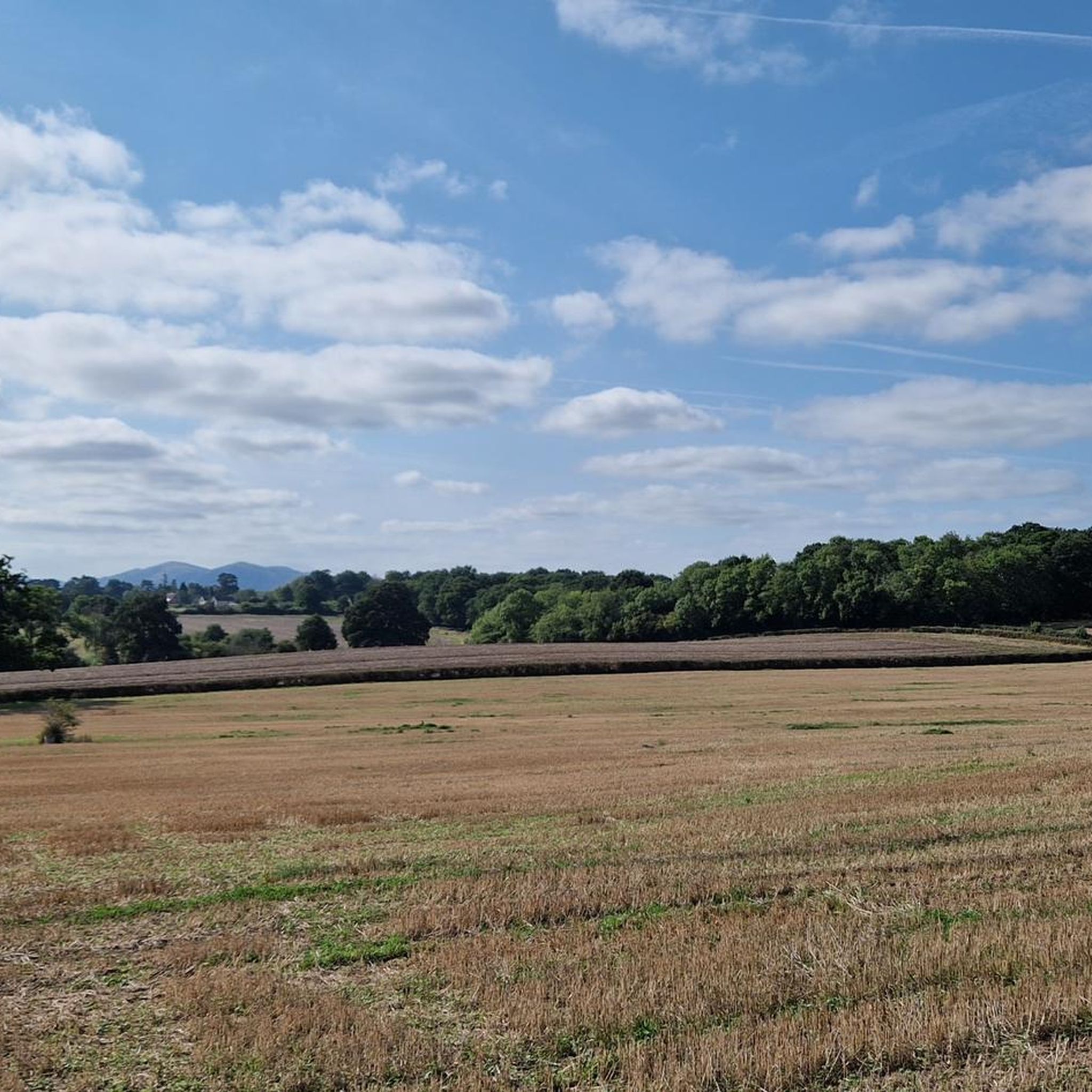
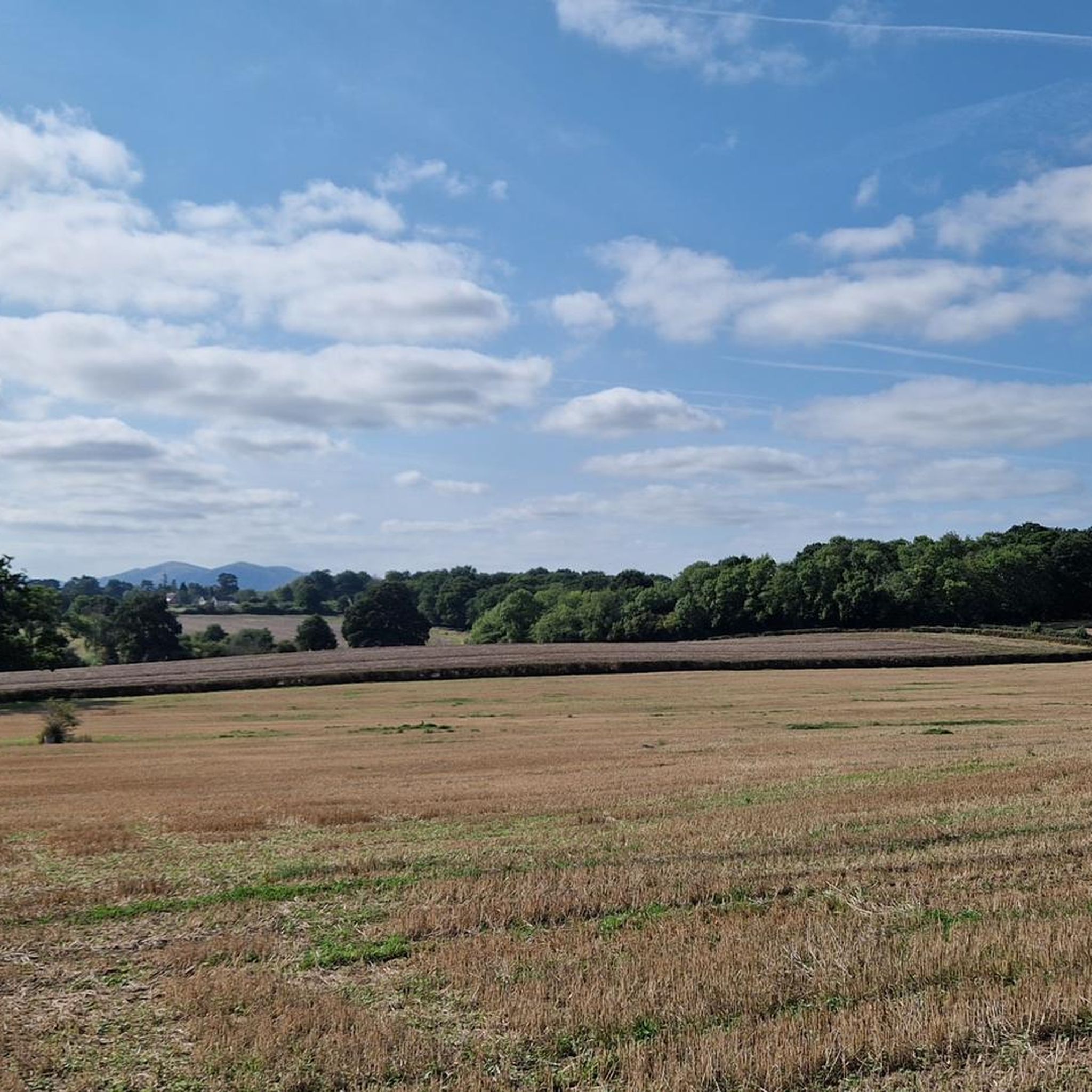
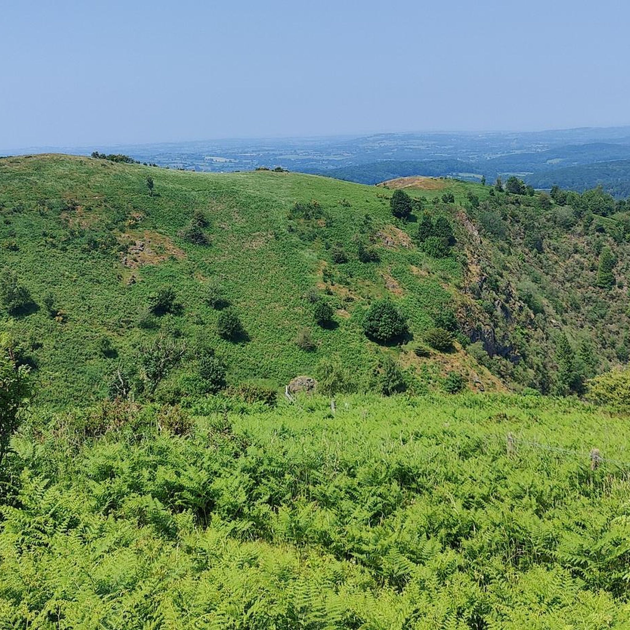
North Hill is a very good viewpoint - but this image was taken on the way up to Table Hill, which is next to North HIll.
0
0
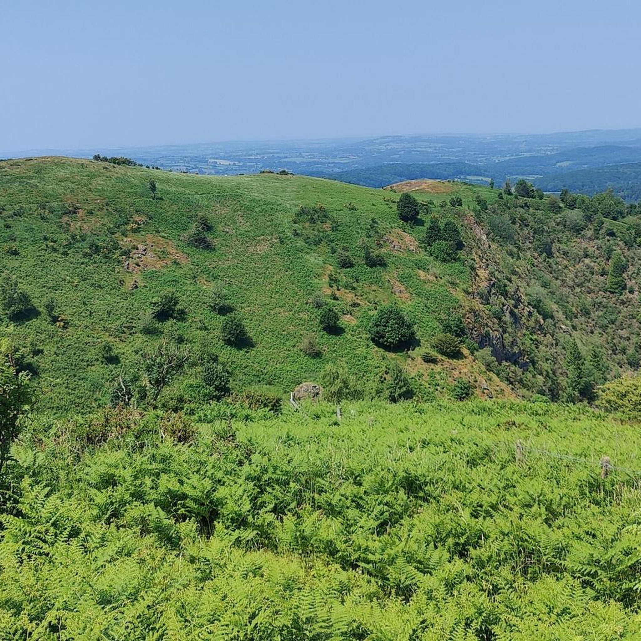
Sugar Loaf hill is to be recommended, but unfortunately the hill in the centre of this picture is North Hill. Sugar Loaf Hill is on the extreme left of the picture, just about in shot.
0
0
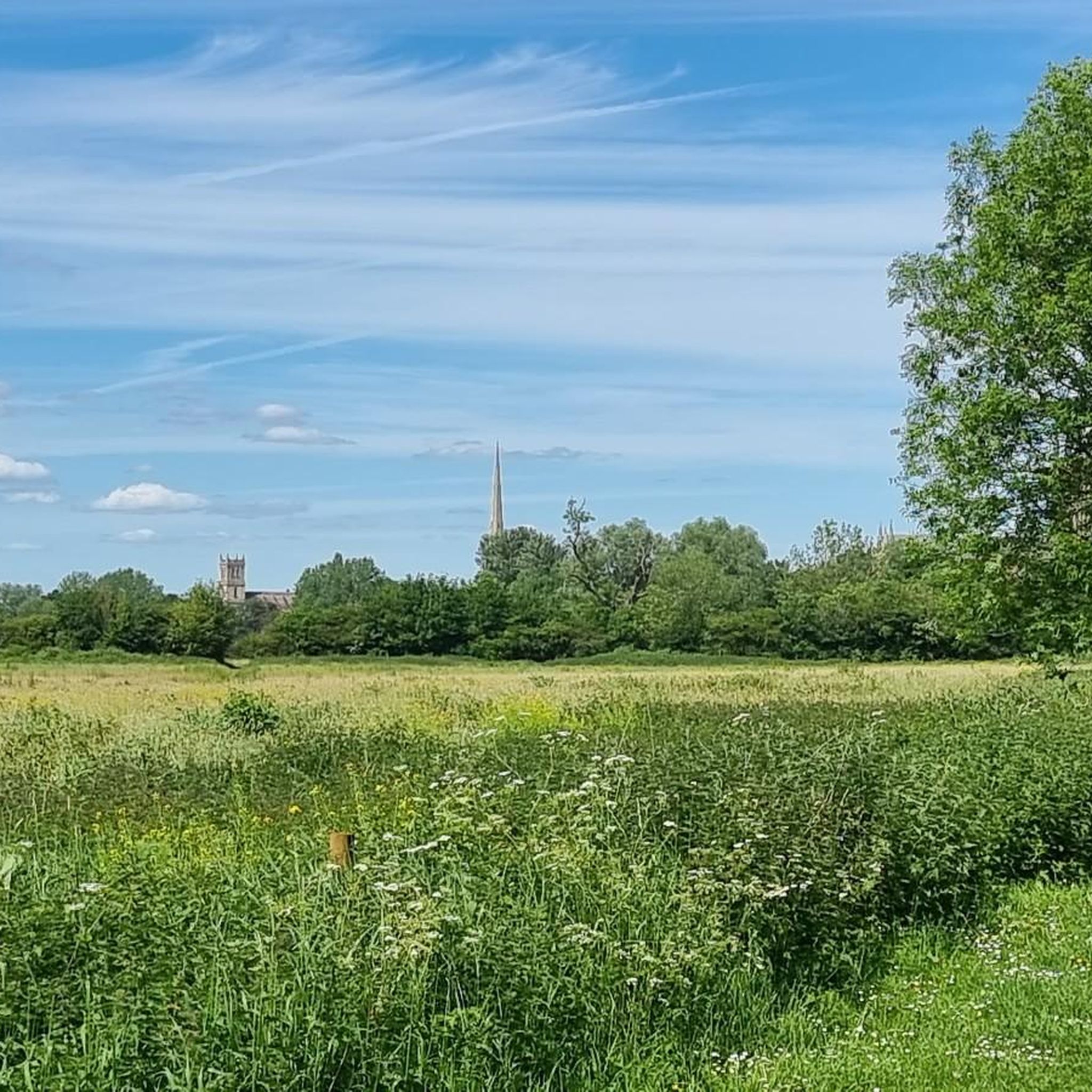
Summer Hill is a bit of a bump in between the Beacon and the Wyche Cutting, however it's steep southern aspect does afford some of the best views along the Malvern Hills ridge, particularly when there is an Inversion happening.
0
0
Between North Hill and The Beacon (and Sugar Loaf Hill) this flat topped hill can get overlooked, but it does afford great views of the Beacon, and is photogenic in it's own right when covered in snow.
0
0

North Hill is the second highest point of the range of Malvern Hills that runs about 13 kilometres (8.1 mi) north-south along the Herefordshire-Worcestershire border, although North Hill lies entirely within Worcestershire. It has an elevation of 397 metres (1,302 ft), making it the highest point of the Worcestershire Way. The eastern flank of the hill lies directly behind Worcester road in Great Malvern from where its summit is a brisk 15 – 20 minutes steep walk from the town centre via St Ann's road and Happy Valley. A path from the car park in North Malvern follows the lower contour of North Hill to Happy Valley and St. Ann's Well. Although the flint route from North Wales to Wessex lay to the north of Malvern, there is some evidence to suggest that traders passed over the Malvern Hills. Parts of an arrowhead, scraper and flint flakes have been discovered between the North Hill and Table Hill. A 19th-century guide book describes both a collapsed burial mound on North Hill named the Giant's Grave and a tump on Table Hill. These tumuli may have been connected to the Dobunni settlement in Mathon. A track that runs along North Hill was known as the "Pyx Path" and was used by the priest from Worcestershire when bringing Sacrament to the hermits that lived in Malvern in the 11th Century. It was also referred to as the "Pixie Path", as it was believed to be used by fairies. The Lodge spring can be found at the foot of North Hill, off Worcester road. The ornamental fountain has a small spout and basin that is similar in design to those at St Ann's Well.
1
0
Table Hill is situated in the range of Malvern Hills that runs about 13 kilometres (8 mi) north-south along the Herefordshire - Worcestershire border. It lies between North Hill and Sugarloaf Hill and has an elevation of 373 metres (1,224 ft). Although the flint route from North Wales to Wessex lay to the north of Malvern, there is some evidence to suggest that traders passed over the Malvern Hills. Parts of an arrowhead, a scraper and flint flakes have been discovered between North Hill and Table Hill. A 19th-century guidebook describes a collapsed burial mound on North Hill, named the Giant's Grave, and a tump on Table Hill. These tumuli may have been connected to the Dobunni settlement in Mathon: Upon the Table Hill, you will perceive the figure of a large table, from which the name is derived. In the centre is a cross, of the same size as that by the Giant's Grave, upon North Hill. Source: Wikipedia
0
0
Sugarloaf Hill lies between the Worcestershire Beacon and North Hill in the range of Malvern Hills that runs about 13 kilometres (8 mi) north-south along the Herefordshire - Worcestershire border. The summit of Sugarloaf Hill is 368 metres (1,207 ft) above sea level and is a popular peak usually passed by walkers hiking between the Worcestershire Beacon and North Hill — respectively the highest and second highest Malvern Hills summits.
0
0
The hill lies to the south of the Worcestershire Beacon, which is Worcestershire's (and the Malvern Hills') highest hill, and Summer Hill's summit, though often overlooked given the grandeur of its neighbour, is a most respectable 1,253 feet above sea level. Source: Wikishire
0
0
Frequently Asked Questions
What are the most prominent natural monuments to visit near Cotheridge?
The most prominent natural monuments near Cotheridge are primarily found within the Malvern Hills. These include Worcestershire Beacon Summit and Toposcope, the highest point in the county offering extensive views, and North Hill Summit, the second highest point with equally impressive panoramas. The River Teme itself, flowing through Cotheridge, is also a significant natural feature, designated as a Site of Special Scientific Interest for its ecological value.
Are there any natural monuments suitable for families around Cotheridge?
Yes, several natural monuments offer family-friendly experiences. Summer Hill features a hidden lake at an old quarry, providing a lovely picnic spot with nearby parking, making it accessible for families. The lower slopes and well-maintained paths around the Malvern Hills, leading to summits like Worcestershire Beacon, can also be enjoyed by families, though some ascents are more challenging.
What kind of wildlife can I expect to see near Cotheridge's natural monuments?
The River Teme and its banks are rich in wildlife. You might spot otters, various fish species like brown trout, and a diverse array of birdlife including kingfishers, sand martins, common sandpipers, dippers, and grey wagtails. The river's botanically rich environment also supports diverse aquatic plants.
What are the best walking routes to explore the natural monuments?
The Malvern Hills offer numerous walking routes. A popular choice is walking along the spine of the Malverns, connecting summits like Worcestershire Beacon, North Hill Summit, and Sugarloaf Hill. These routes provide excellent views and varied terrain. For more detailed walking options, you can explore the natural monuments guide page for Cotheridge.
Are there any historical or cultural aspects associated with the natural monuments?
Yes, the Malvern Hills have historical significance. Worcestershire Beacon was historically used for beacon fires, notably to warn of the Spanish Armada. North Hill Summit has evidence of ancient traders and burial mounds, and a track known as the "Pyx Path" or "Pixie Path" used by priests and believed to be used by fairies. Table Hill also has mentions of burial mounds.
What is the best season to visit the natural monuments around Cotheridge?
The natural monuments around Cotheridge, particularly the Malvern Hills, are beautiful year-round. Spring brings wildflowers and fresh greenery, while autumn offers stunning foliage. Summer provides longer daylight hours for extended walks. Clear days in any season will offer the best panoramic views from the summits. The River Teme is also enjoyable in warmer months for walks along its banks.
What outdoor activities can I do near these natural monuments?
Beyond walking and hiking, the area around Cotheridge offers various outdoor activities. You can find options for gravel biking, road cycling, and mountain biking. The River Teme is also a popular spot for angling, particularly known for barbel fishing.
Are there any natural monuments that are less known or 'hidden'?
While the Malvern Hills summits are well-known, Summer Hill offers a more secluded experience with its hidden lake at an old quarry, providing a tranquil picnic spot away from the busiest trails. The ecological richness of the River Teme itself, though prominent, holds many hidden natural gems along its meandering course.
What do visitors enjoy most about the natural monuments around Cotheridge?
Visitors consistently praise the breathtaking panoramic views from the Malvern Hills summits, such as Worcestershire Beacon and North Hill Summit. The peaceful, rural setting, the diverse ecosystems, and the opportunities for tranquil walks along the River Teme are also highly valued by those exploring the area.
Is public transport available to reach the natural monuments near Cotheridge?
While Cotheridge itself is a rural village, public transport options exist to reach the wider Malvern Hills area. Malvern Link and Great Malvern have train stations, and local bus services connect to various points around the hills. From these access points, many natural monuments like North Hill Summit are accessible via walking paths.
Are the natural monuments around Cotheridge dog-friendly?
Generally, the natural monuments and walking trails around Cotheridge and the Malvern Hills are dog-friendly. Many paths allow dogs, but it's always advisable to keep them on a lead, especially near livestock or sensitive wildlife areas like those along the River Teme. Always ensure to clean up after your pet.
Most popular attractions around Cotheridge

Get inspired with the komoot mobile app


Explore more
Extend your search for the best caves by checking out these guides of the top ones around Cotheridge:
