The 4 Most Amazing Peaks around Fjaler
Best mountain peaks around Fjaler offer diverse landscapes in Vestland, Norway. The municipality is characterized by scenic terrain, including its highest point, Skredfjellet, which reaches over 800 meters. Fjaler provides opportunities for exploring mountainous areas and experiencing panoramic views of fjords and the surrounding region. The area features a variety of natural formations and summits suitable for hiking.
Best mountain peaks around Fjaler
- The most popular mountain peaks is Gygrekjeften Rock Formation, a natural monument that offers expansive views.…
Last updated: October 15, 2026
Gygrekjeften Rock Formation
Highlight • Natural Monument
Tip by

Kolgrovheia (497 m)
Highlight • Summit
Translated by Google •
Tip by

Sign up now to discover places like this
Get recommendations on the best single tracks, peaks, & plenty of other exciting outdoor places.
Templane Summit
Highlight • Summit
Tip by

View of Fjords and Mountains
Highlight • Viewpoint
Translated by Google •
Tip by

Einingsfjellet - 360-degree view
Highlight • Summit
Showing Translation
Tip by

Start today with a free account
Your next adventure awaits.
Popular around Fjaler
Tips from the Community

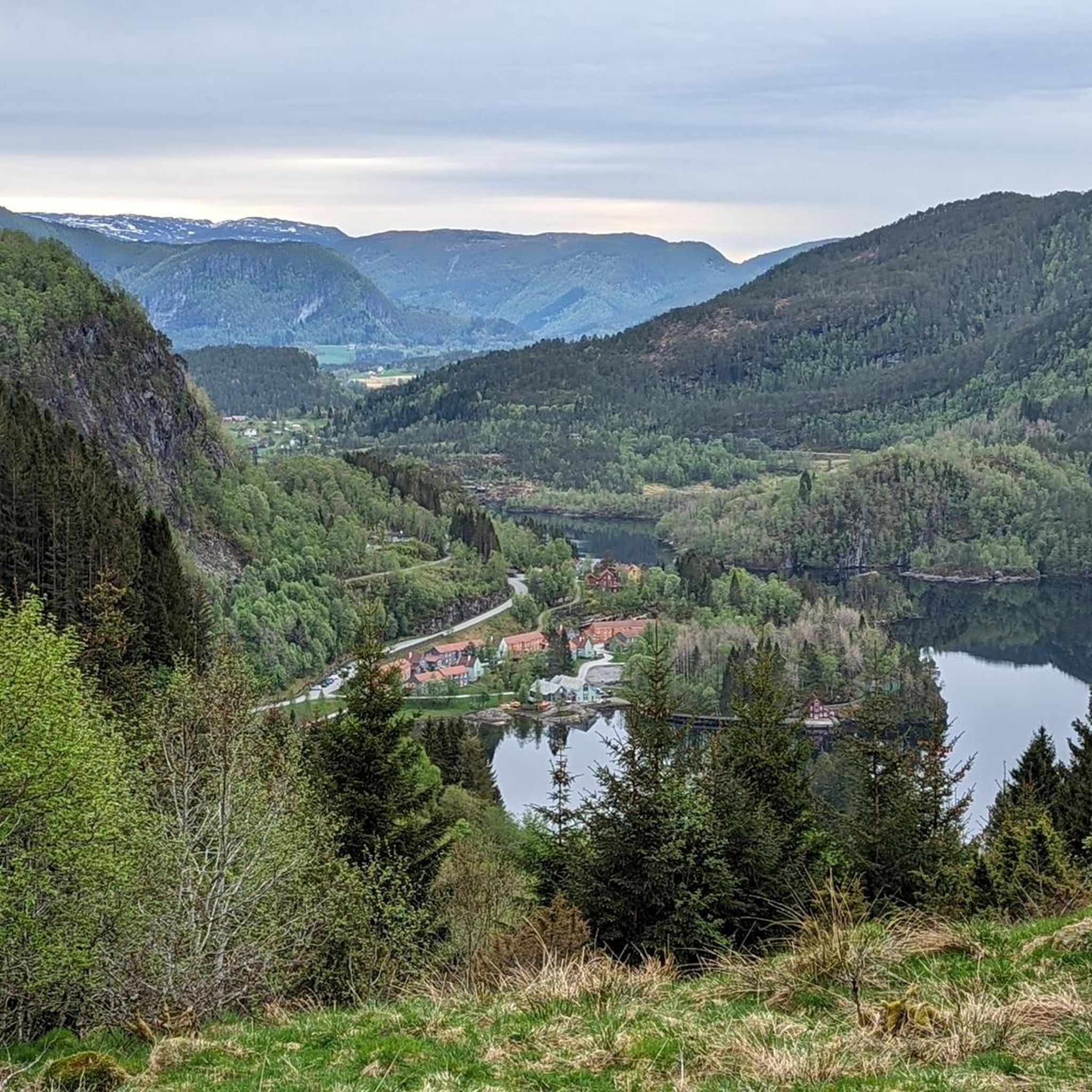
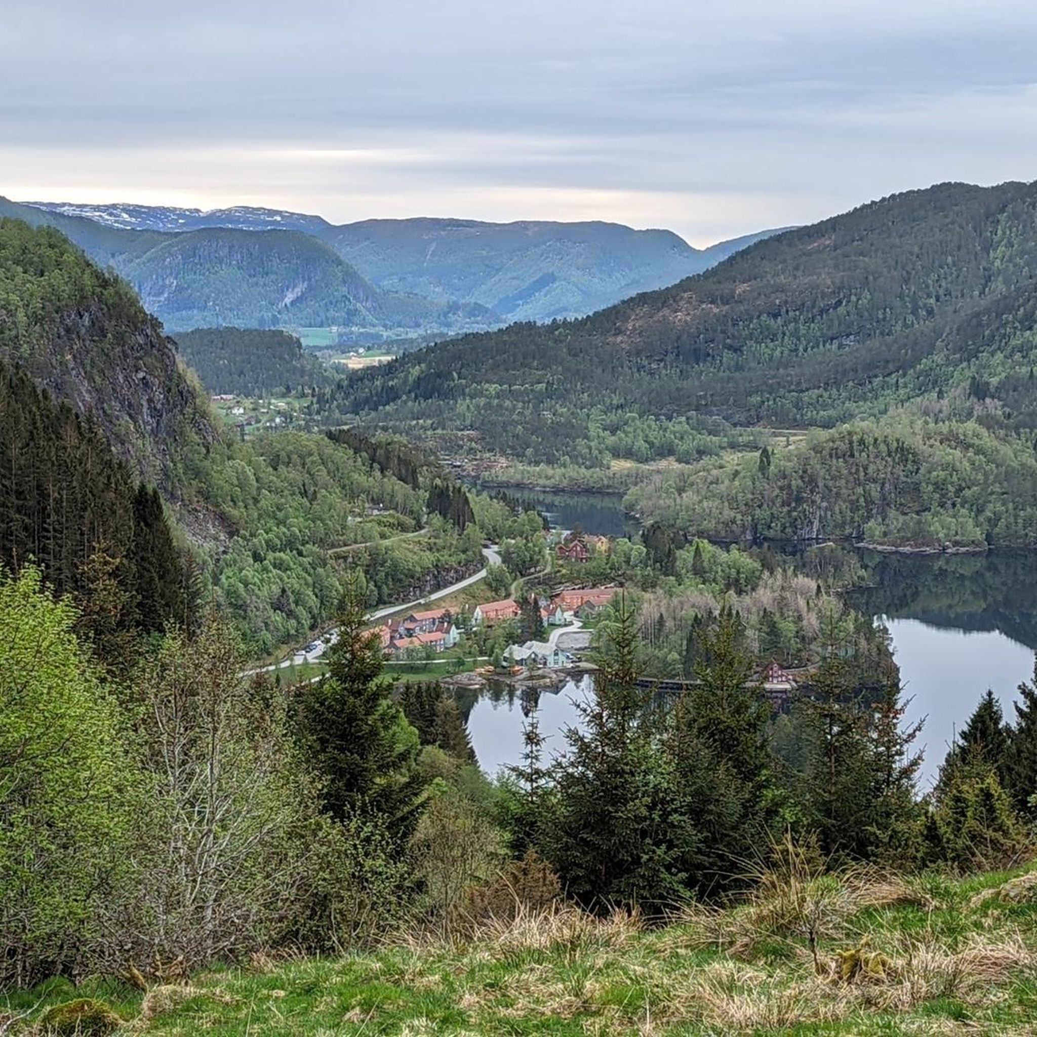
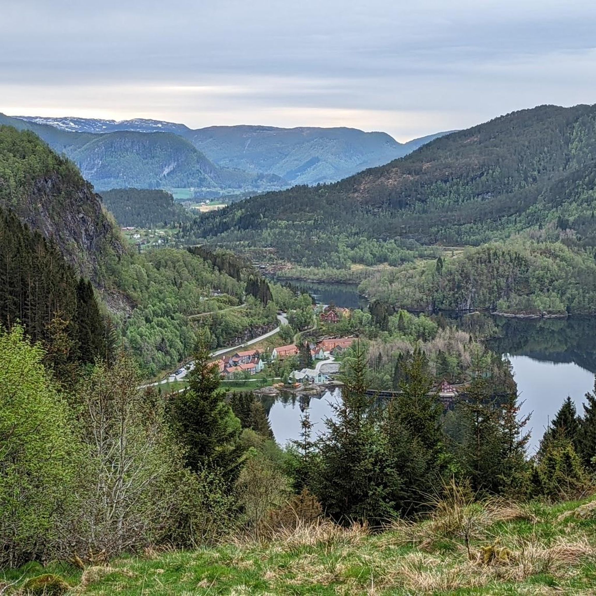
At the end of a hike that is challenging due to the trail conditions up to the summit, there is a wonderful panoramic view of the fjords and mountains with a bench and an information map for an airy, beautiful, and relaxing break before heading back down.
0
0

Templane is 483 m above sea level and from the top, you can enjoy a splendid view to the west over Lihesten, Alden, and the islands of Værlandet and Bulandet when the weather is clear.
0
0

The path via the normal route "left around" has been extensively renovated, with Sherpa stairs over the steep step to the plateau and wooden bridges over the mud
0
0

Summit. In wet conditions, the entire trail is very slippery. Feet are constantly in puddles and mud. Waterproof shoes! Best only in good weather.
0
0

View of fjords and mountains - had to turn around here on the way to the summit because the wind was too stormy
0
0
Great hike, but better plan a little more time. We needed about 6 hours for the whole route... (with a 30-minute break) And on the direct way to the summit you have to be prepared for climbing with ladders and ropes :D
1
0
Frequently Asked Questions
What are some notable mountain peaks and viewpoints to explore in Fjaler?
Fjaler offers several rewarding peaks and viewpoints. Gygrekjeften Rock Formation is known for its challenging path and spectacular views. For panoramic vistas, consider Einingsfjellet, which provides a 360-degree view of the fjords and mountains. Templane Summit also offers splendid views to the west, including Lihesten and the islands of Værlandet and Bulandet on clear days.
Are there any challenging mountain climbs in the Fjaler area?
Yes, for those seeking a challenge, the ascent to Gygrekjeften Rock Formation is particularly demanding. Hikers should be prepared for sections involving climbing with ladders and ropes, and it's advisable to allocate around 6 hours for the full route. Einingsfjellet also presents a challenging hike due to trail conditions, culminating in a rewarding panoramic view.
What are the best mountain views in Fjaler?
For expansive views, Einingsfjellet offers a remarkable 360-degree panorama of the surrounding fjords and mountains. Templane Summit provides a splendid westward view towards Lihesten, Alden, and the islands of Værlandet and Bulandet. The highest point in the municipality, Skredfjellet, also promises extensive vistas of the Sunnfjord region.
What kind of terrain can I expect on mountain hikes in Fjaler?
The terrain around Fjaler's mountain peaks can vary. For instance, the trail to Kolgrovheia can be very slippery with puddles and mud in wet conditions, requiring waterproof footwear. Other routes, like the one to Gygrekjeften Rock Formation, involve more rugged paths with sections requiring climbing aids like ladders and ropes.
What outdoor activities can I do near the mountain peaks in Fjaler?
Beyond hiking to the peaks, Fjaler offers a variety of outdoor activities. You can explore numerous hiking trails, such as the easy "Øvre Lavikdal to Templane" route or the moderate "Waterfall – View of Fjords and Mountains loop from Kvamselva kraftverk." For cycling enthusiasts, there are several road cycling routes like the "Myklebustlia loop" or touring bicycle routes such as the "Lake View and Swimming Spot – Kvernhusåsen loop." You can find more details on these activities in the Hiking around Fjaler, Road Cycling Routes around Fjaler, and Cycling around Fjaler guides.
Are there any easy or beginner-friendly mountain hikes in Fjaler?
While many peaks offer intermediate to challenging routes, some areas provide easier access to mountainous terrain. The "Øvre Lavikdal to Templane" hiking route is considered easy, spanning about 3.5 kilometers and taking approximately 1 hour and 15 minutes. This can be a good option for those looking for a less strenuous experience while still enjoying the region's natural beauty.
What should I pack for hiking in the Fjaler mountains?
Given the varied terrain and weather conditions, it's essential to pack appropriately. For hikes like Kolgrovheia, waterproof shoes are highly recommended due to potentially muddy and wet trails. Always bring layers of clothing, rain gear, sufficient water, snacks, and a map or GPS device. For challenging routes, consider gloves for ropes and ladders.
What is the best season for hiking in the Fjaler mountains?
The best time for hiking in Fjaler is generally during the late spring, summer, and early autumn months (May to September). During this period, the weather is milder, days are longer, and trails are typically free of snow, offering the most pleasant hiking conditions. Always check local weather forecasts before heading out, as conditions can change rapidly in mountainous regions.
Are there any loop hikes around Fjaler mountains?
Yes, Fjaler offers loop trails that allow you to experience diverse scenery. A notable option is the "Waterfall – View of Fjords and Mountains loop from Kvamselva kraftverk." This moderate-difficulty trail is about 11.9 kilometers long and provides scenic views of waterfalls, fjords, and mountains, making for a rewarding circular journey.
What do visitors enjoy most about the mountain peaks in Fjaler?
Visitors consistently praise the stunning views and the sense of accomplishment from reaching the summits. Many highlight the panoramic vistas from spots like Einingsfjellet, where a bench and information map await for a relaxing break. The challenging yet rewarding paths, such as the one to Gygrekjeften Rock Formation, are also frequently mentioned for their unique experience.
Is public transport available to reach hiking trailheads in Fjaler?
While specific public transport routes directly to every trailhead might be limited, local bus services operate within the Fjaler municipality. It's advisable to check local transport schedules and routes in advance to see if they align with your chosen hiking starting points. Often, reaching more remote trailheads may require a car.
Most popular routes around Fjaler
Most popular attractions around Fjaler

Get inspired with the komoot mobile app


Explore more
See even more amazing summits around Fjaler with these guides:
