Top 20 Natural Monuments around Hove
Best natural monuments around Hove offer diverse landscapes and ecological features. The region is characterized by its varied natural spaces, including forests, rivers, and wetlands. These areas provide opportunities to observe local biodiversity and experience natural environments. The landscape is shaped by geological formations and water features, contributing to its distinct character.
Best natural monuments around Hove
- The most popular natural monuments is Kesselse Heath, a forest that features a mix of scrub heather, coniferous and deciduous forest, sandy…
Last updated: August 22, 2026
Kesselse Heath
Highlight • Forest
Translated by Google •
Tip by

Confluence of the Dijle and Nete = Rupel
Highlight • River
Translated by Google •
Tip by

Sign up now to discover places like this
Get recommendations on the best single tracks, peaks, & plenty of other exciting outdoor places.
Sign up for free
Pond at Fort III Borsbeek
Highlight • Lake
Translated by Google •
Tip by
Nature area with water features
Highlight • Lake
Translated by Google •
Tip by

Benedenvliet - Schelle
Highlight • River
Translated by Google •
Tip by
Sign up for free to discover even more natural monuments around Hove.
Sign up for free
Already have an account?
Start today with a free account
Your next adventure awaits.
Login or Signup
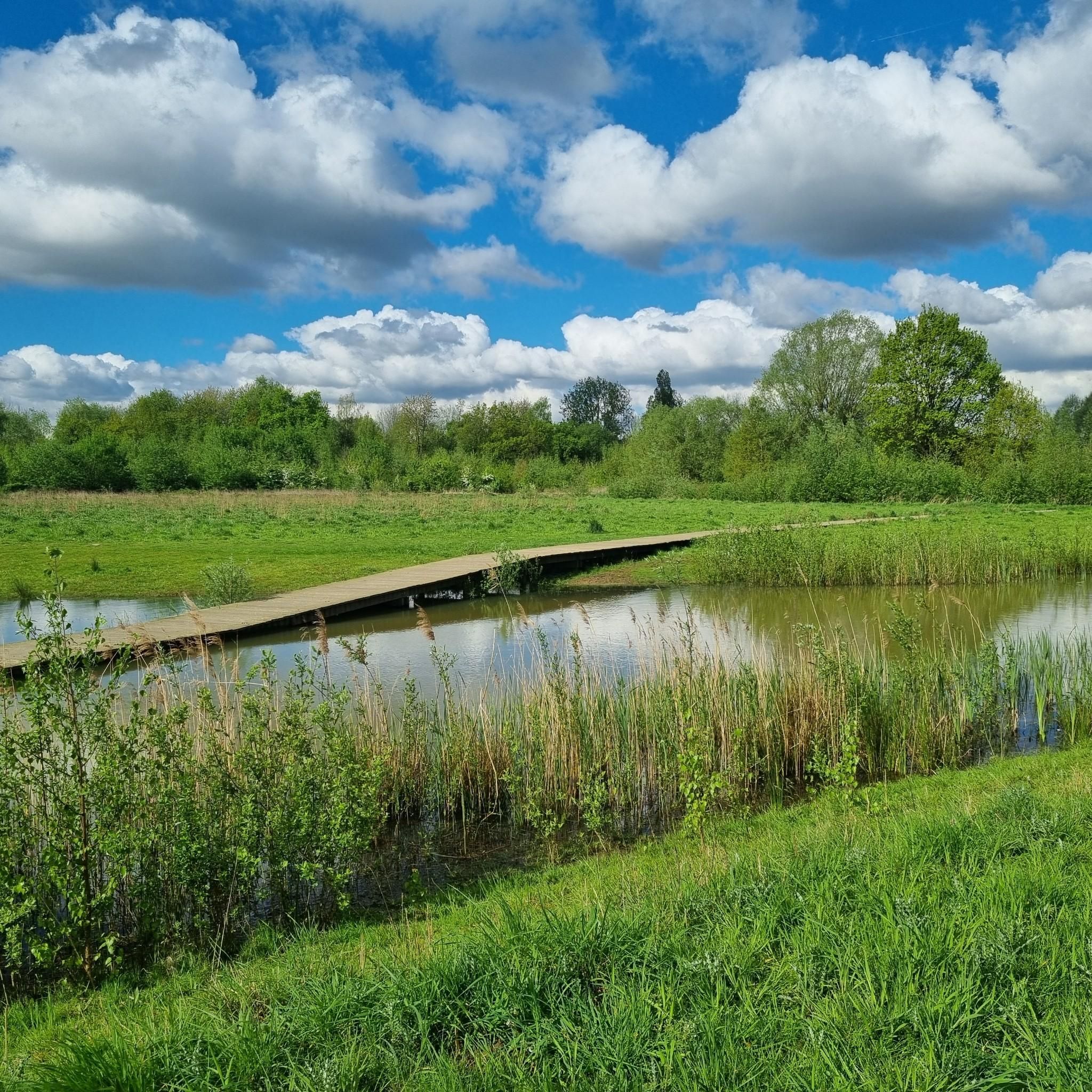
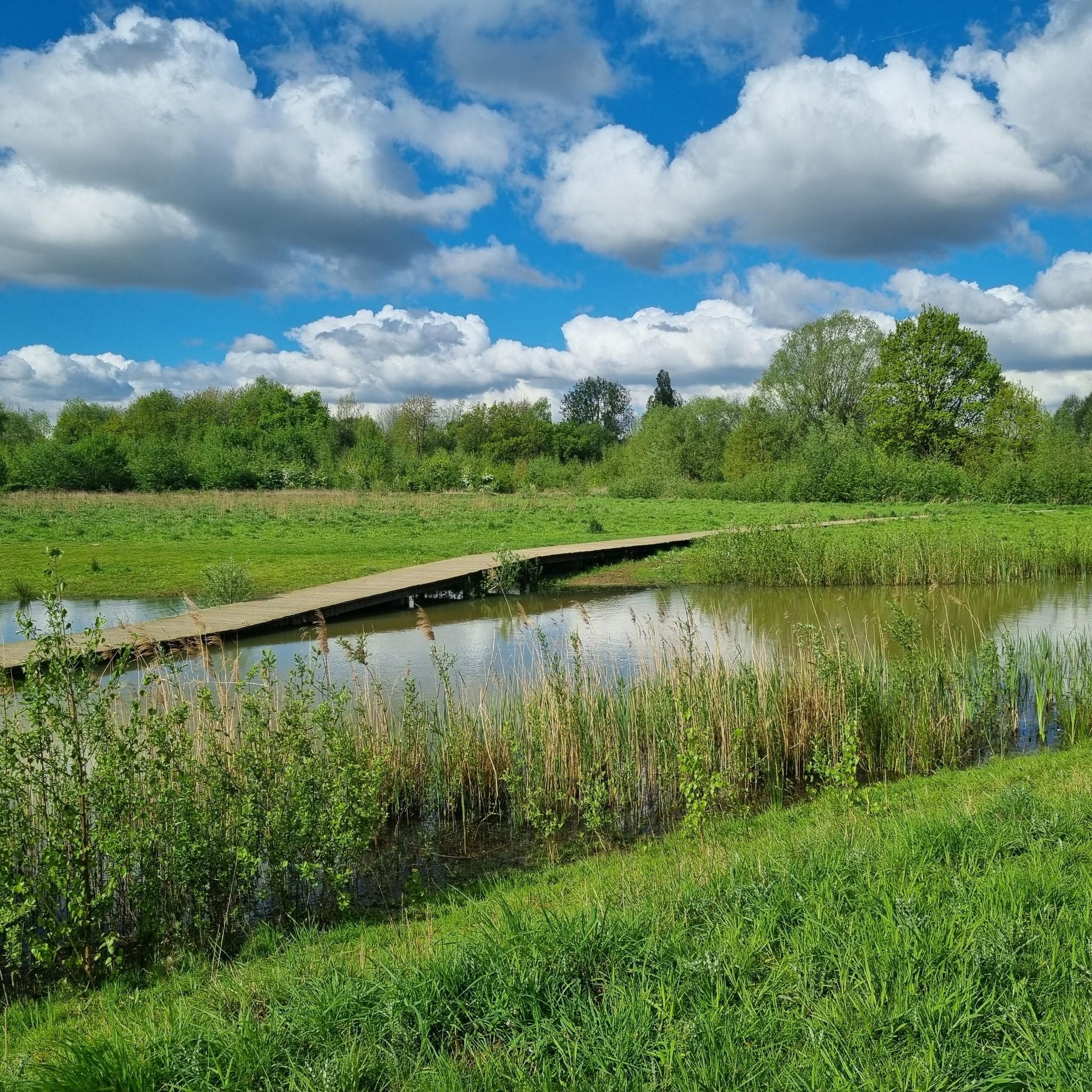
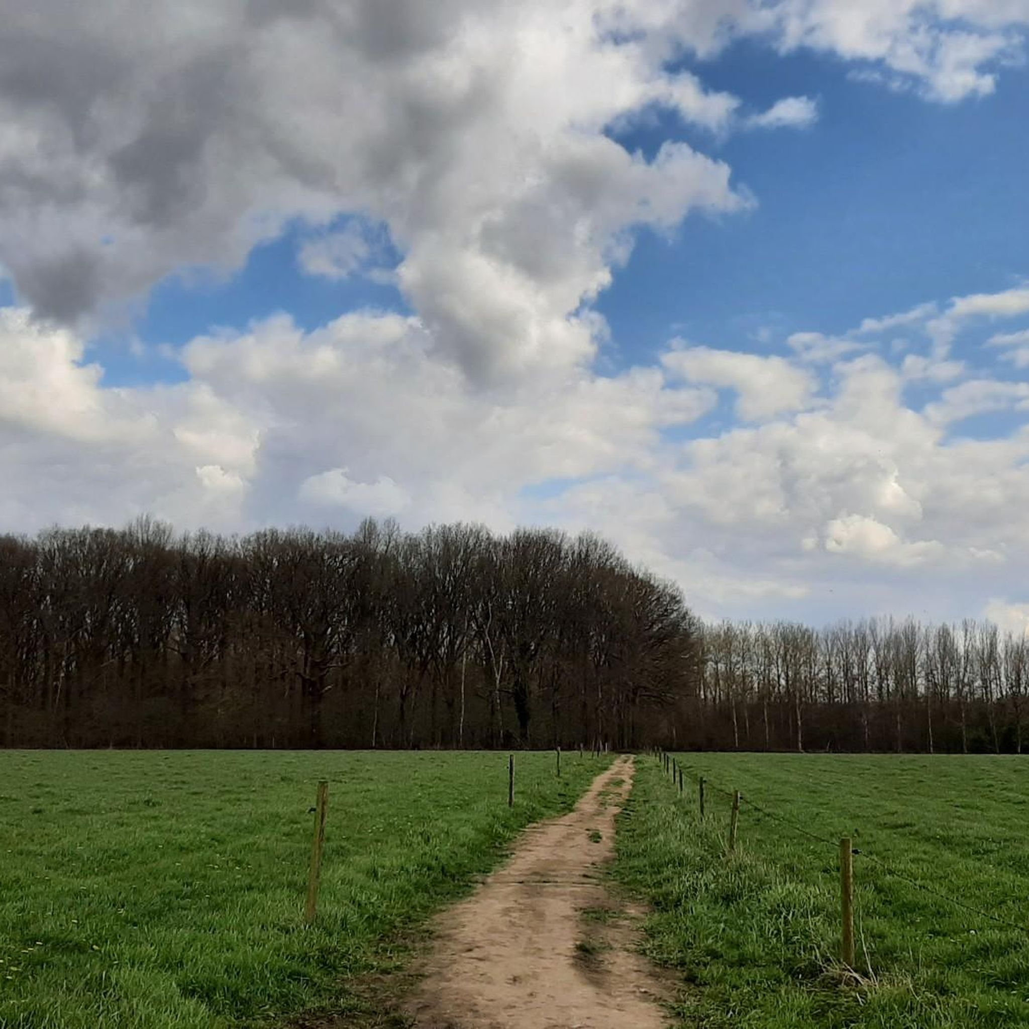
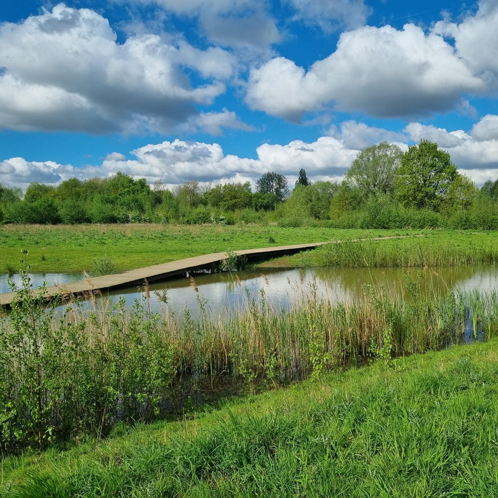
Tips from the Community

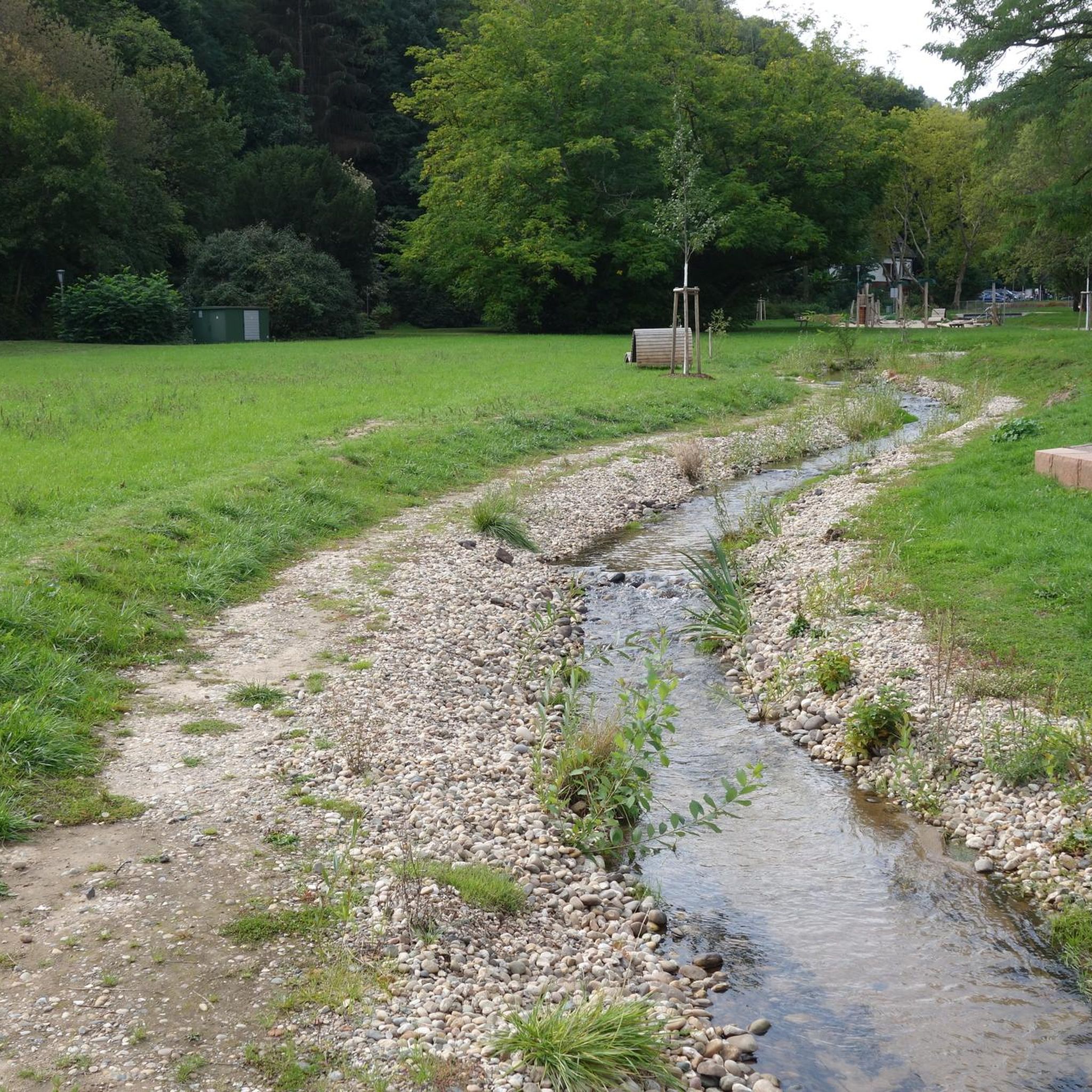
Here you know why water has an attraction...
2
0

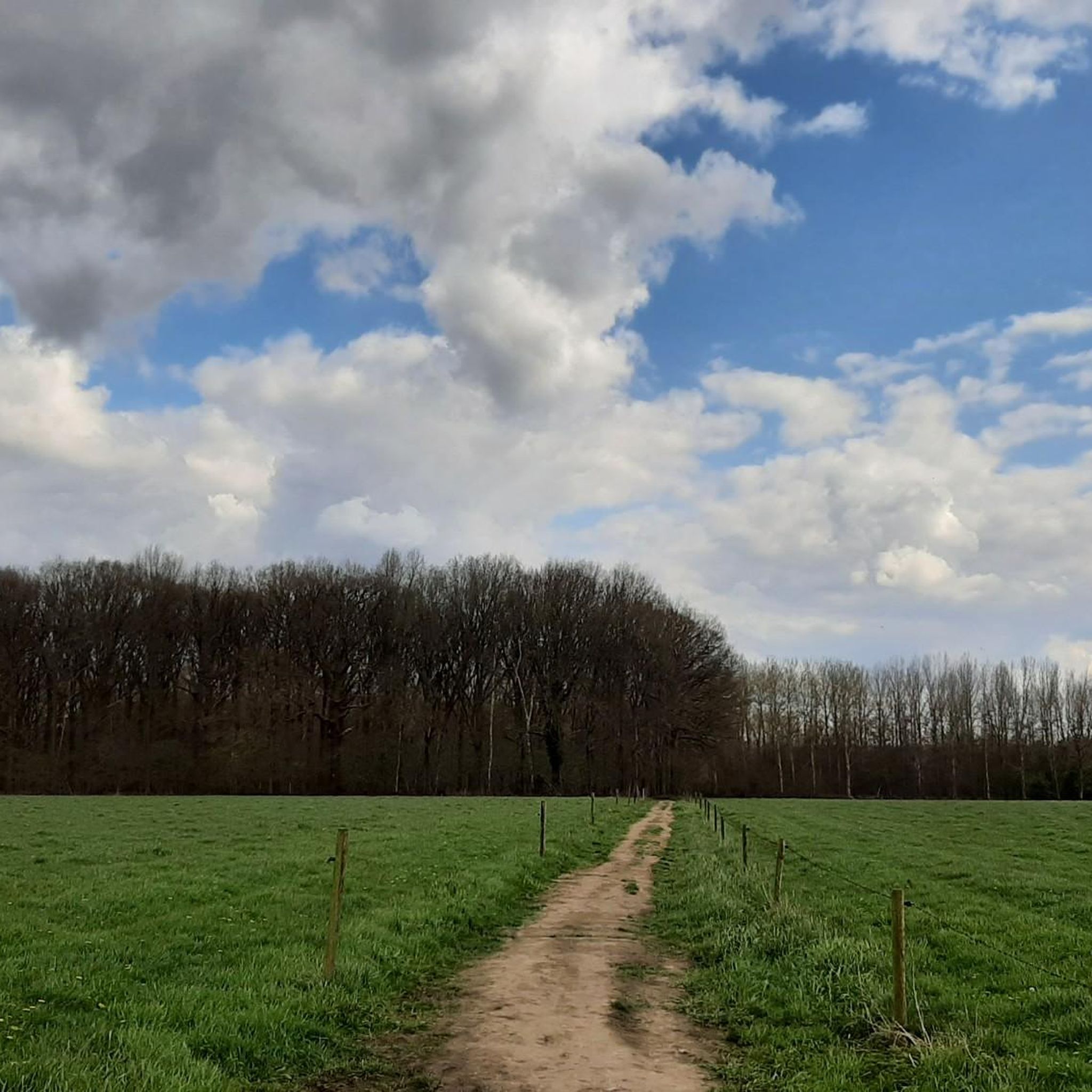
The Kesselse Heide is a provincial green space covering 79 hectares, 61 of which are open to the public. The initial acquisition took place in 1978, and it has been expanded since then. The entrance is located in Nijlen, at Vaerestraat 4. The space is freely accessible daily from sunrise to sunset. There are two ponds in the area. These old wells not only provide a pleasant change of scenery but are also a boon for the many plants and animals. Since 1996, the Kesselse Heide has been a protected landscape. It is one of the few remaining remnants of the once vast Kempen heathlands. The heath is a living community created in our region by humans. Historical agricultural practices created a landscape that has been preserved through human intervention: grazing by sheep, burning the heath, and sod cutting. Sod cutting is the removal of the topsoil and vegetation. A dug-out sod of plants and their roots is a sod. If heathland is left untreated, it will evolve into oak and birch forests, and the typical species associated with a heathland habitat will disappear. In the mid-19th century, the Kesselse Heide—like many other parts of the Kempen region—was afforested with Scots pine, a valuable timber for mining. However, during both World Wars, these sod-covered forests were felled, and from then on, the heathland was able to expand again. Current management consists of removing trees and mechanically cutting sods to give the open heathland every chance to thrive. https://youtu.be/NoPf0HSeFz8
6
0

The Kesselse Heide-Het Goor area consists of a variety of nutrient-poor meadows, pastures, marshes, and ponds, bordered and crisscrossed by enclosed landscape types, and contains numerous landscape elements. The area is characterized by a richly varied and sometimes rare flora. Several historic farm buildings can be found within the area. The Kesselse Heide-Het Goor area, with an area of approximately 2,620 hectares, is located between the villages of Nijlen and Kessel, north of the Lier-Herentals road. The northern border of this area is along Vogelzangstraat, the eastern border along Achterbist, Kannaertsstraat, and Goorstraat. The Grote Steenweg forms the southern border, and the western border is formed by Heidestraat and Vaerestraat. The landscape includes the following topographical areas: "Kannaerdsche Heyde," "Kesselse Heide," "Mol Heide," "Achterbiest," "Het Hoog Bosch," "De Hooge Heide," "Het Armveld," "De Schommers" or "Vissen Eynde," "Het Goor," "Het Goorkasteel," and "Hoge Heyde." Several streams traverse the area, specifically the Goorkantloop, the Elstbeek, the Paddenloop, Blauwe Hoekloop, and the Visbeek. The elevation within the area varies from approximately 5 meters +TAW to approximately 10 meters +TAW. Inventory of Immovable Heritage: Kesselse Heide-Het Goor, https://id.erfgoed.net/erfgoedobjecten/302886
7
0

Very nice walk with a lot of variety in landscapes and terrain.
3
0


On May 7, 1923, the Rivierenhof opened its gates to the general public. It is the oldest provincial domain in Belgium. Later all other provinces followed suit. History: In 1921 the last noble heirs decided to sell the domain. Thanks to the alert actions of provincial registrar Jozef Schobbens, the province purchased the domain as a green lung for the already heavily populated Deurne-Borgerhout region where many workers lived. It was hoped that the Rivierenhof would be able to offer them healthy air, relaxation and tranquility. The province expanded the park from 40 to 135 hectares. Ponds were dug, lands were raised, castles were renovated and picturesque shelters were built. Bridges, a rose garden and sports fields were constructed. All this to allow everyone to enjoy the fresh greenery as much as possible. 100 years later, the Rivierenhof is still the most beautiful park in the entire province, where visitors from near and far admire everything this special place has to offer.
5
0

The "Samenvloeiing van Dijle en Nete = Rupel" is a place in Belgium which is located where the rivers Dijle and Nete join to form the river Rupel. It is located in the Flemish region, in the province of Antwerp, in the city of Rumst. This site is known for its natural beauty and for being a meeting point between the waters of the two rivers. The confluence of the rivers creates a striking and fascinating landscape, with large expanses of water joining and mixing. The area around the Samenvloeiing van Dijle en Nete = Rupel also offers opportunities to enjoy the surrounding nature, with scenic trails and green areas that invite for walks and hikes. It's a popular spot with nature lovers and those looking to spend time outdoors.
5
0
In the Kempen region, heathland is a cultural landscape that developed long ago through the frequent grazing of sheep on poor sandy soils. Since then, heathland has become valuable and rare. The Kesselse Heide provincial green space is all that remains of a much larger heathland area. Since 2023, the Kesselse Heide can also be explored as a heritage site. Various information boards provide information on folklore, landscape features, the wartime history, and more. You can find some photos of these new boards in the photo section of this highlight.
8
2
Frequently Asked Questions
What are the most popular natural monuments around Hove?
Among the most appreciated natural monuments in the Hove area are Kesselse Heath, known for its authentic heath landscape with scrub heather, coniferous and deciduous forests, and sandy plains. Another popular spot is the Confluence of the Dijle and Nete = Rupel, where visitors can witness the formation of Belgium's shortest river. The Pond at Fort III Borsbeek is also highly regarded, offering views of a historical fort and serving as an important hibernation site for bats.
Are there family-friendly natural monuments to visit near Hove?
Yes, several natural monuments around Hove are suitable for families. Kesselse Heath is ideal, with expansive sands perfect for children to play in. The Confluence of the Dijle and Nete = Rupel offers scenic trails for walks, and the Pond at Fort III Borsbeek provides a varied natural environment around a historical site, though some parts of its nature walk may not be accessible for strollers. The Zennegat Flood Area and Nature area with water features are also family-friendly, offering opportunities to observe nature and enjoy the outdoors.
What kind of natural features can I expect to see in the natural monuments around Hove?
The natural monuments around Hove showcase a diverse range of features. You can explore forests, such as the mixed woodlands at Kesselse Heath, which also features scrub heather and sandy plains. Rivers are prominent, notably at the Confluence of the Dijle and Nete = Rupel. Wetlands and flood areas, like the Zennegat Flood Area, provide habitats for rare plants and animals. Lakes and ponds, such as the Pond at Fort III Borsbeek and the Nature area with water features, add to the scenic beauty and biodiversity.
Are there hiking opportunities near the natural monuments in Hove?
Yes, there are numerous hiking opportunities near the natural monuments around Hove. You can find various trails, including easy loops like the 7.1 km 'Luitersheide amphibian pond – Papendonk Forest boardwalk loop' or the 3.3 km 'Uilenbos loop'. For more moderate challenges, consider the 9.1 km 'Laarzenpad Luitersheide – Papendonk Forest boardwalk loop'. These routes allow you to explore the diverse landscapes, including forests and wetlands. For more detailed information and additional routes, visit the Hiking around Hove guide.
What cycling routes are available around the natural monuments in Hove?
The Hove area offers a variety of cycling routes, catering to different preferences. For mountain biking, you can find moderate trails like the 78.4 km 'Blue Bridge over the Dijle – Gravel path along the river loop' or the 44.3 km 'Blue Bridge over the Dijle – World War II tank memorial loop'. Road cyclists can enjoy scenic routes such as the 44.3 km 'View of Mechelen – Cyclists' Bridge over the Zenne loop' or the 71.5 km 'Scenic Path Through the Fields – Den Steenen Molen (Boechout) loop'. Explore more options in the MTB Trails around Hove guide and the Road Cycling Routes around Hove guide.
What makes Kesselse Heath a notable natural monument?
Kesselse Heath is notable for preserving an authentic Kempen landscape, featuring a unique mix of scrub heather, coniferous and deciduous forests, sandy plains, and fens. It's one of the oldest provincial domains in Belgium, offering typical heath vegetation. Sheep are used to maintain this landscape, and visitors can follow the Heidepad to explore its most beautiful spots. The expansive sands also provide a natural playground for children.
Can I learn about local history at any of the natural monuments?
Yes, the Pond at Fort III Borsbeek is situated at a historical fort, offering a glimpse into the region's past. While the fort itself is free to visit, the underground parts are generally not accessible. The area around the fort also provides varied nature to explore. Additionally, the Nature area with water features, also known as Rivierenhof, is the oldest provincial domain in Belgium with a rich history dating back to 1923, offering insights into its development as a green lung for the region.
What is special about the Confluence of the Dijle and Nete = Rupel?
The Confluence of the Dijle and Nete = Rupel is a unique natural monument where the Dijle and Nete rivers merge to form the Rupel, which is Belgium's shortest river. This site offers a striking and fascinating landscape created by the joining waters. It's a popular spot for nature lovers, providing scenic trails and green areas for walks and hikes, allowing visitors to appreciate the natural beauty of the river confluence.
What kind of wildlife can be observed at these natural monuments?
The natural monuments around Hove are important for local wildlife. The Pond at Fort III Borsbeek is known as an important hibernation site for bats. The Zennegat Flood Area, with its gullies, mudflats, and salt marshes, provides an ideal habitat for rare plants and animals. Generally, the diverse mix of forests, wetlands, and rivers across these sites supports a variety of local biodiversity.
Are there any natural monuments that are particularly good for viewpoints?
Yes, the Confluence of the Dijle and Nete = Rupel offers excellent views of the merging rivers and the surrounding landscape. The Zennegat Flood Area also provides beautiful views between the Canal Leuven-Mechelen and the Dyle. These locations allow visitors to appreciate the expansive natural scenery and unique geographical formations.
What do visitors enjoy most about the natural monuments around Hove?
Visitors to the natural monuments around Hove frequently appreciate the diverse landscapes and opportunities for outdoor activities. They enjoy the authentic heath vegetation and sandy plains at Kesselse Heath, the striking scenery at the Confluence of the Dijle and Nete = Rupel, and the varied nature around the historical Pond at Fort III Borsbeek. The peaceful environment for walks, the chance to observe local biodiversity, and the well-maintained green spaces are commonly highlighted as enjoyable aspects.
Most popular attractions around Hove

Get inspired with the komoot mobile app


Explore more
Extend your search for the best caves by checking out these guides of the top ones around Hove:
