Top 20 Natural Monuments around Herve
Best natural monuments around Herve are situated on the Herve plateau, a region characterized by its limestone geology and river-carved landscape. This area features significant geological formations, including chalky limestone rich in fossils. The natural environment also holds historical depth, with evidence of human activity dating back to the Lower Paleolithic period. It offers a combination of natural features and ecological value for exploration.
Best natural monuments around Herve
- The most popular natural monuments is Observation Bunker MN18 and Knuppelstock…
Last updated: August 22, 2026
Gileppe Dam Lion
Highlight • Monument
Translated by Google •
Tip by

Broekbos Nature Reserve
Highlight • Forest
Translated by Google •
Tip by

Sign up now to discover places like this
Get recommendations on the best single tracks, peaks, & plenty of other exciting outdoor places.
Sign up for free
Observation Bunker MN18 and Knuppelstock Orientation Table
Highlight • Historical Site
Translated by Google •
Tip by

Trail through Veursbos Valley
Highlight • Forest
Translated by Google •
Tip by

Devil's Bridge (Pont du Diable)
Highlight • Bridge
Translated by Google •
Tip by
Sign up for free to discover even more natural monuments around Herve.
Sign up for free
Already have an account?
Start today with a free account
Your next adventure awaits.
Login or Signup
Other adventures around Herve

Tips from the Community

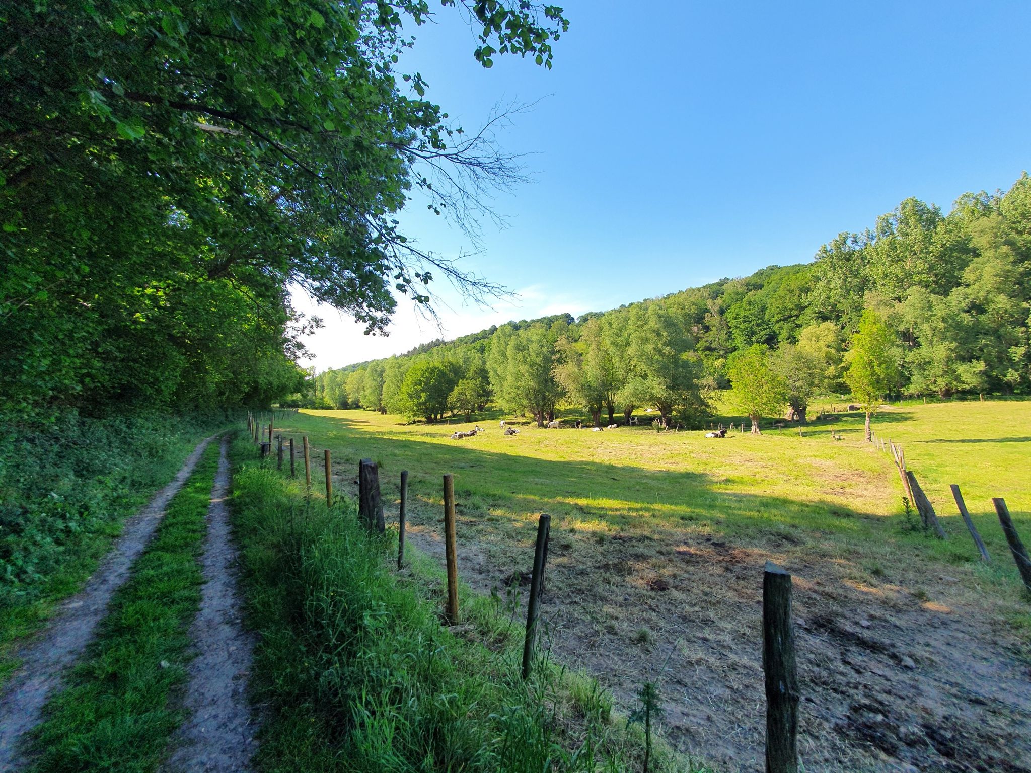
It's a typical Voeren hillside forest with a mix of deciduous trees and humid zones, and together with the surrounding forests, it forms a valuable ecological whole. It is managed by the Agency for Nature and Forests.
9
0

Broekbos is a valuable nature reserve in the Belgian Voer region, known for its rich biodiversity and serene atmosphere. The woodland consists of moist lowlands of old deciduous trees and small streams that together form a natural ecosystem supporting rare plants and animal species. The reserve is a paradise for hikers, birdwatchers, and nature lovers seeking tranquility and an authentic experience of the Voer landscape. The presence of wet grasslands and marshy areas makes Broekbos an important refuge for amphibians, insects, and birds. The walking path through the forest winds past these natural features and offers varied views, from sunny open spaces to densely vegetated, shady areas. Historical features such as old hedgerows and field crosses recall the traditional use of the landscape by the local population.
3
0
The MN18 Observation Bunker is part of the first line of defense of the Position Fortifiée de Liège (PFL), a network of bunkers built in the 1930s to defend Belgium against a German invasion. MN18 was the 18th bunker in the Margarins-Neufchâteau sector and equipped with an FM turret, recognizable by its tapered shape. During the German attack in May 1940, the bunker was destroyed by a 50 kg shaped charge placed on top of the turret, just where the periscope was located. The damage is still visible, making MN18 a tangible reminder of World War II. Right next to the bunker is the Knuppelstock orientation table, an impressive work of blue limestone with a diameter of 1.5 meters and weighing approximately one ton. The relief of the surrounding landscape is engraved on it based on data from the National Geographic Institute, with bronze details indicating the visible points. The table is also accessible for the visually impaired thanks to its tactile elements. The project, carried out by local organizations such as Qualité-Village-Wallonie and the municipality of Aubel, is unique in Belgium.
10
0

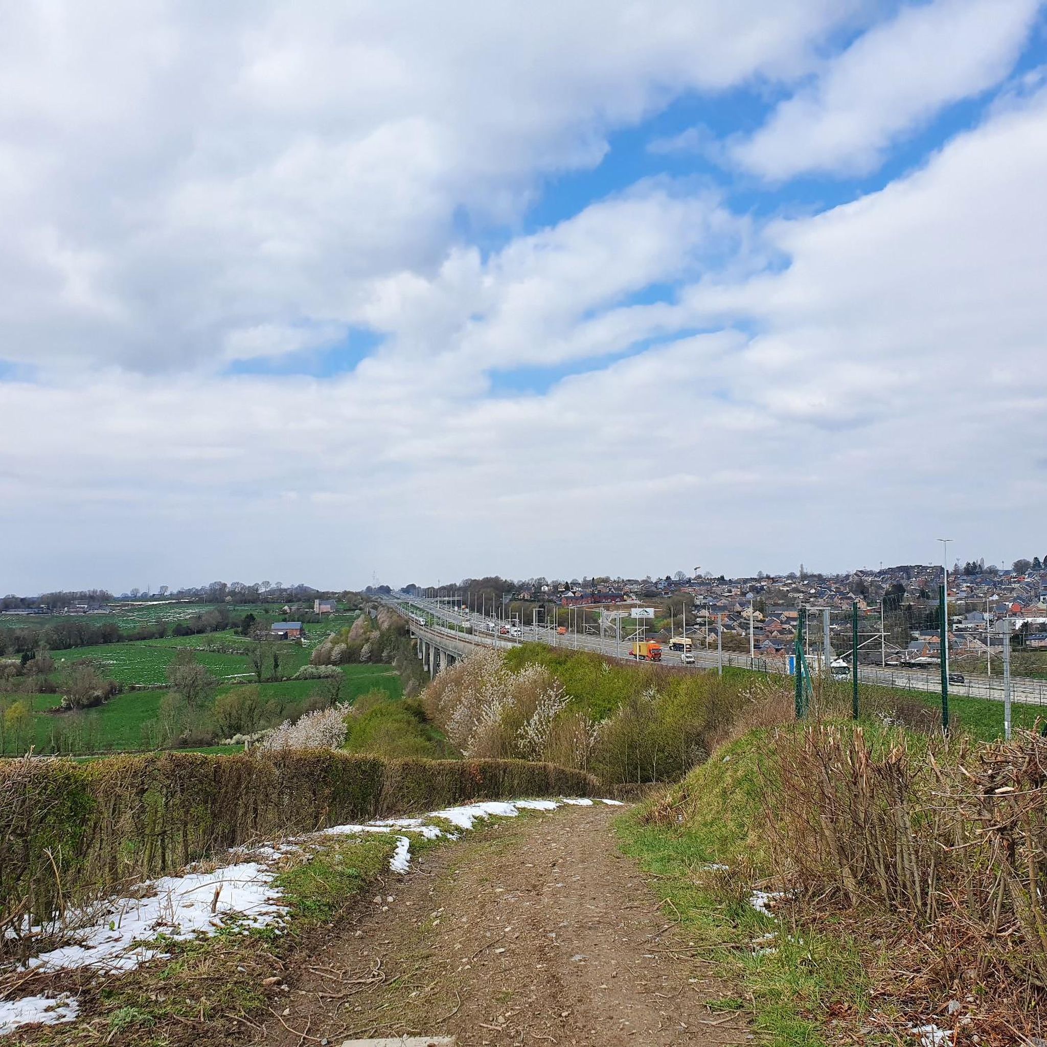
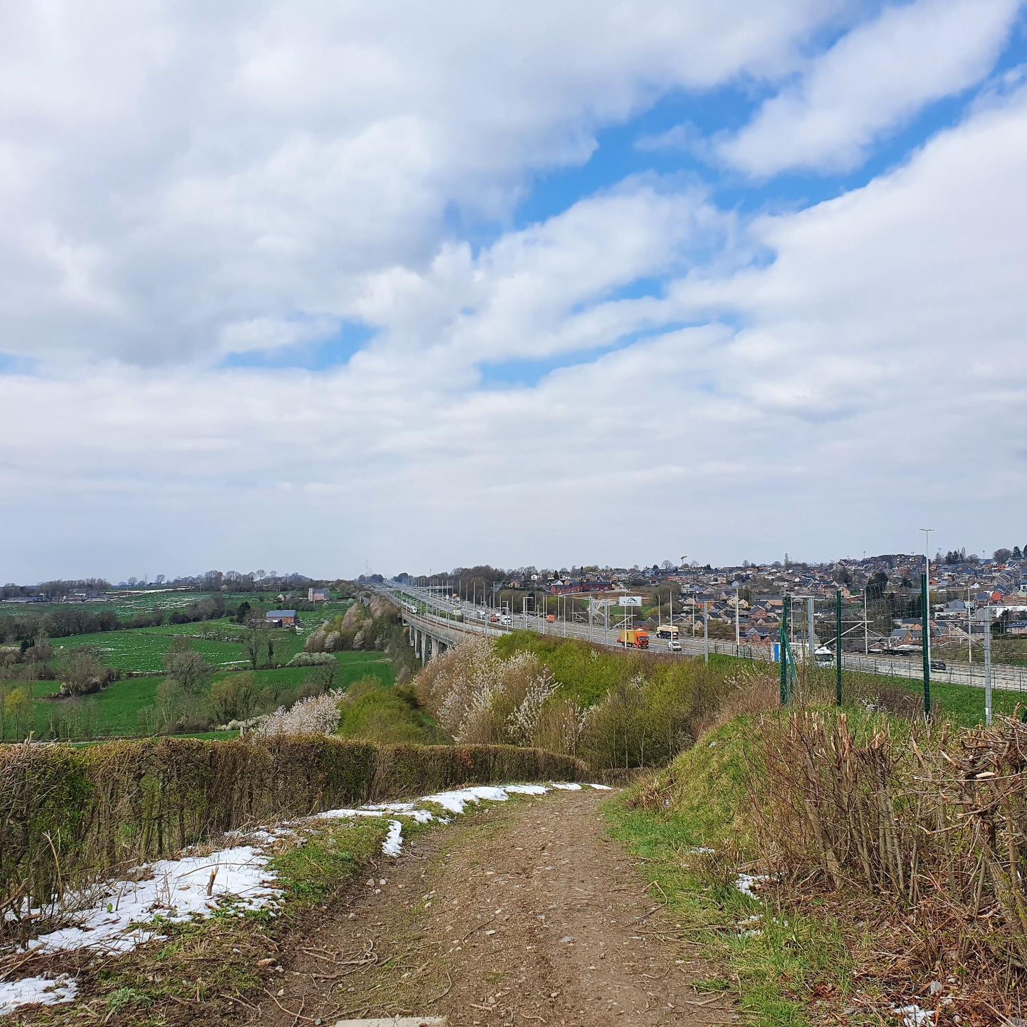
..a sloping stony path with many beautiful views.
4
0
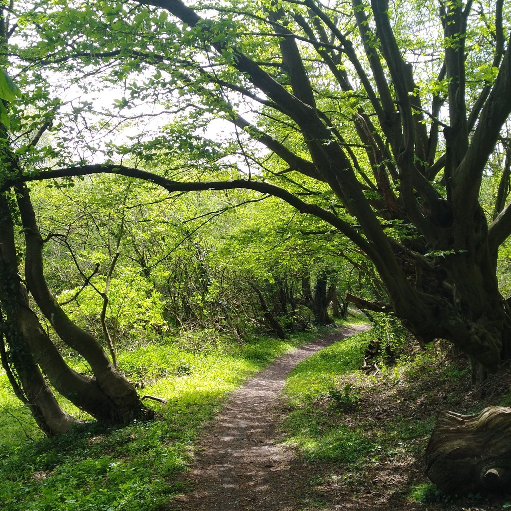
A sloping forest and reserve for old trees, with a beautiful narrow walking path.
10
0
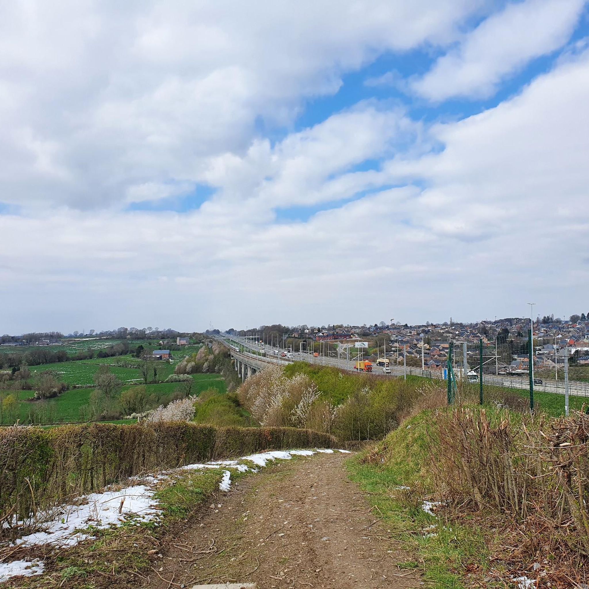
At this point, history and landscape converge. The MN18 observation bunker, a silent witness to the Second World War, still stands as a reminder of a turbulent period. From the bunker, you also have a unique view of the surrounding hilly landscape. Next to the bunker is the Knuppelstock orientation table, a platform that indicates the names and directions of villages, hills, and landmarks in the area. It's an ideal spot to get to know the region better and to enjoy a panoramic view of the border area between the Netherlands and Belgium.
3
0

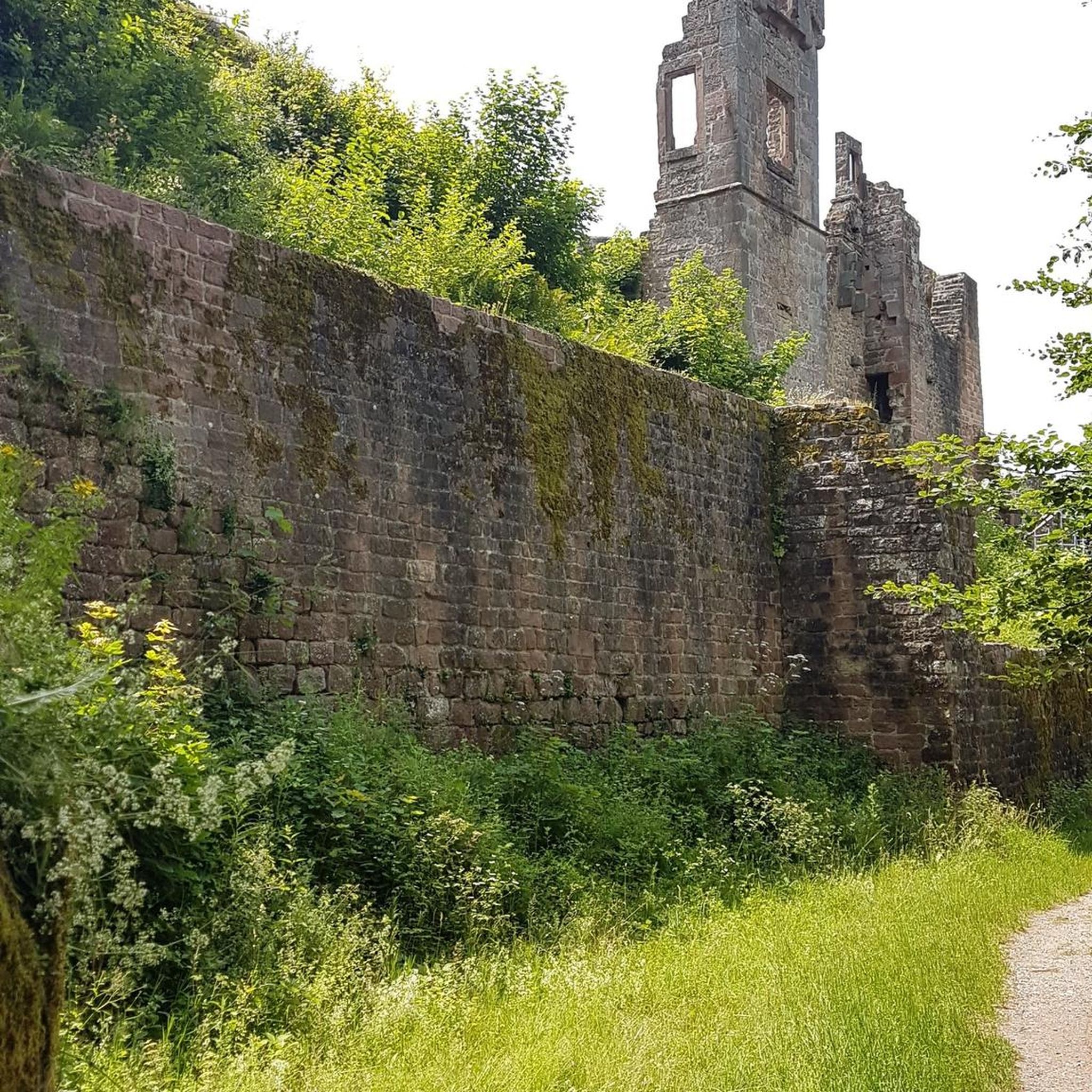
Bridge connecting two wooded promontories between Ninane and Chaudfontaine.
0
0

The Devil's Bridge is really beautiful, built from many stones that are neatly placed next to each other. It is located along the Chemin du Bois, which runs from Monté de Chaudfontaine to Ninane. There is also a bench where you can rest for a while.
0
1
Frequently Asked Questions
What unique geological features can I explore among the natural monuments around Herve?
The Herve plateau is characterized by its limestone geology. A prime example is Mount Saint Peter, which features chalky limestone deposits from the Maastricht Formation, rich in fossils like sea urchins, clams, and belemnites. You can also find areas with loess, gravel, and quartz sand, all shaped by the rivers Geer and Meuse.
Are there any significant historical natural monuments in the Herve region?
Yes, the region has several natural monuments with rich historical significance. Observation Bunker MN18 and Knuppelstock Orientation Table is a historical site featuring remnants of a 1930s defense bunker and a hand-carved orientation table. Another notable site is Devil's Bridge (Pont du Diable), a unique dry stone structure on slate cliffs, associated with local legends. Mount Saint Peter also has a long history of human activity, including ancient flint mining.
What kind of wildlife can I expect to see in the natural monuments around Herve?
The natural monuments around Herve offer diverse ecosystems. Mount Saint Peter, for instance, is an important nature reserve known for its natural vegetation, including orchids like Ophrys apifera, and birds such as the Eurasian eagle-owl. Areas like Broekbos Nature Reserve are managed to allow nature to take its course, providing habitats for various species within its old-growth forest.
Where can I find scenic viewpoints among the natural monuments near Herve?
For panoramic views, visit Observation Bunker MN18 and Knuppelstock Orientation Table, which offers a magnificent panorama over the country of Herve. The Gileppe Dam Lion also provides great views from atop Europe's oldest concrete dam. Additionally, the Trail through Veursbos Valley offers beautiful vistas across the Veurs valley.
Are there family-friendly natural monuments suitable for children around Herve?
Yes, several natural monuments are great for families. The area around the Gileppe Dam Lion is designed for tourists and serves as a starting point for many family-friendly hiking trails. Observation Bunker MN18 and Knuppelstock Orientation Table is also considered family-friendly, offering both history and views. The Broekbos Nature Reserve provides an accessible forest environment for exploration.
What outdoor activities can I do near these natural monuments?
The Herve region offers a variety of outdoor activities. You can find numerous routes for mountain biking, road cycling, and hiking. For mountain biking, explore trails like the 'View of the Ardennes – Scenic Countryside View loop' or 'Heusière Path – Beautiful Forest Path loop'. Road cyclists can enjoy routes such as 'Herve Viaduct – Fort Battice loop'. For hiking, consider 'Café Mother Goose – Trail through Veursbos Valley loop' or 'Veurs Valley – Vrouwenbos Nature Reserve loop'. You can find more details on these activities in the MTB Trails around Herve, Road Cycling Routes around Herve, and Mountain Hikes around Herve guides.
Are there specific hiking trails that pass through or near the natural monuments?
Yes, many hiking trails are available. For example, the Trail through Veursbos Valley is a beautiful hiking trail within a forest area. The Broekbos Nature Reserve also features a beautiful narrow walking path. The area around the Gileppe Dam is a popular starting point for various hiking routes. For more detailed hiking options, refer to the Mountain Hikes around Herve guide.
What do visitors enjoy most about the natural monuments around Herve?
Visitors frequently highlight the unique combination of natural beauty, geological wonders, and historical depth. The panoramic views from sites like the Observation Bunker MN18 are highly appreciated. The historical significance of places like Devil's Bridge and the impressive structure of the Gileppe Dam Lion are also popular. The komoot community has shared over 550 photos and given more than 730 upvotes, reflecting a strong appreciation for the region's diverse natural and historical attractions.
What is the best time of year to visit the natural monuments around Herve?
The Herve region's natural monuments can be enjoyed throughout the year, with each season offering a different experience. Spring brings blooming flora, especially noticeable in areas like Mount Saint Peter with its orchids. Summer is ideal for longer hikes and outdoor activities. Autumn showcases vibrant foliage in the forests like Veursbos and Broekbos. Even winter can be beautiful, offering a serene, crisp atmosphere, though some paths might be more challenging.
Are there any natural monuments around Herve that are wheelchair accessible?
Yes, the Observation Bunker MN18 and Knuppelstock Orientation Table is noted as wheelchair accessible. The orientation table itself is designed to be readable for the visually impaired and accessible for those with mobility challenges, making it a good option for visitors requiring accessibility.
What kind of terrain can I expect when visiting the natural monuments in Herve?
The terrain around Herve's natural monuments varies. The region is characterized by a limestone plateau, carved by rivers, so you can expect some undulating landscapes. Areas like the Broekbos Nature Reserve and Veursbos Valley feature sloping forests and trails. While some paths are easy, others, particularly in forested or valley areas, can be intermediate in difficulty.
Most popular routes around Herve
Most popular attractions around Herve

Get inspired with the komoot mobile app


Explore more
Extend your search for the best caves by checking out these guides of the top ones around Herve:
