The best MTB trails around Langenweißbach
4.6
(2050)
4,732
riders
23
rides
Mountain biking around Langenweißbach offers varied terrain in the Zwickau district of Saxony, Germany. The region features an idyllic hilly landscape with extensive forests, situated in the foothills of the Ore Mountains. This topography provides diverse opportunities for mountain bikers, including challenging routes through its natural features. The area's environment is suitable for mountain biking, with existing routes and a network of trails.
Best mountain bike trails around Langenweißbach
- The most popular mountain bike trail is Iron Bridge Over the…
Last updated: October 12, 2026
4.7
(3)
6
riders
25.6km
02:03
420m
420m
Moderate mountain bike ride. Good fitness required. Advanced riding skills necessary.
4.7
(6)
6
riders
81.0km
06:18
1,510m
1,510m
Hard mountain bike ride. Very good fitness required. Advanced riding skills necessary. Some portions of the route may require you to push your bike.

4.0
(4)
5
riders
34.4km
02:10
410m
410m
Moderate mountain bike ride. Good fitness required. Suitable for all skill levels.
4.5
(2)
4
riders
39.8km
02:58
590m
590m
Moderate mountain bike ride. Good fitness required. Advanced riding skills necessary.
5.0
(2)
7
riders
Moderate mountain bike ride. Good fitness required. Advanced riding skills necessary.
Get access to more routes and recommendations from other explorers.
Already have an account?
Our route recommendations are based on thousands of hikes, rides, and runs completed by other people on komoot.
Start today with a free account
Your next adventure awaits.
Tips from the Community

Definitely worth seeing
1
0

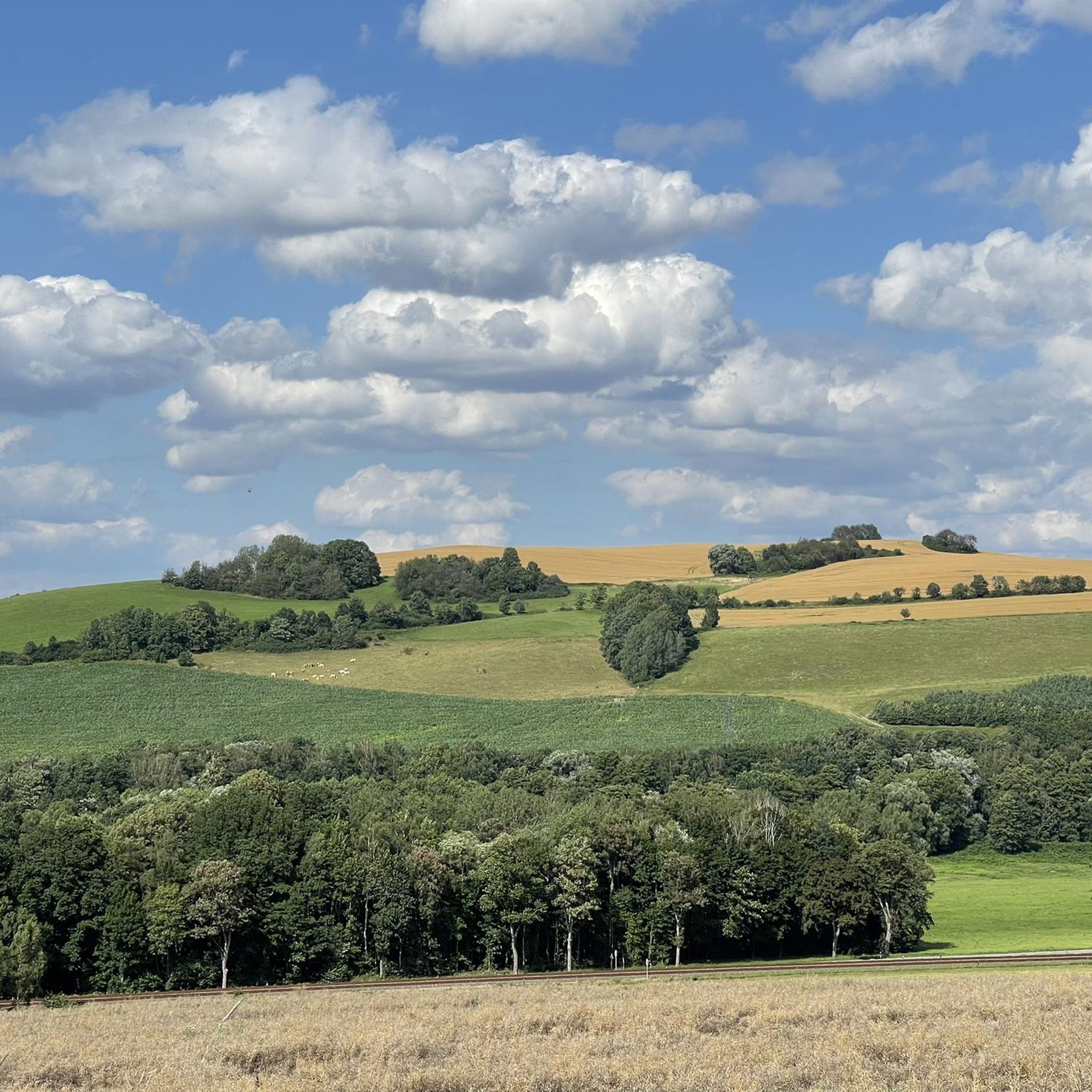
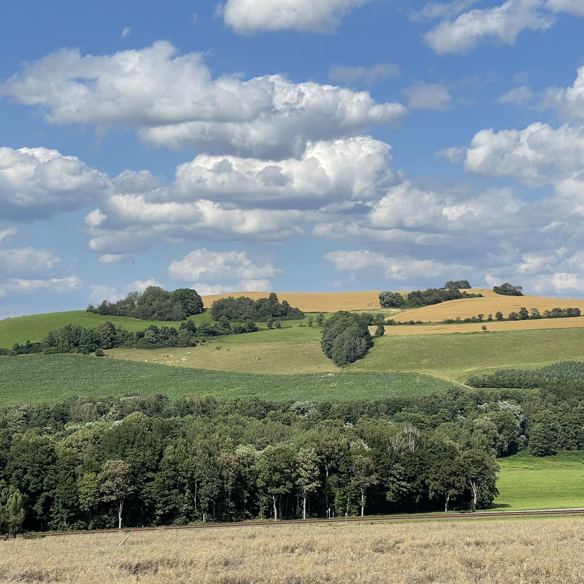
Provided the weather is right, there are fantastic views of the landscape. We decided to take the ascent on the "Alten Grünauer Straße" right after the bus stop, over the small bridge, first. This way, we could fully enjoy the descent via the Fährsteig in Grünau and the passage along the Mulde, letting the bikes roll relaxed.
0
0

very idyllically located with a resting place
1
0


The SREM (Secundary Radar Equipment) system on the 1018m high Auersberg mountain in the Ore Mountains is one of six such systems in Germany operated by the German Air Navigation Services (DFS). It detects aircraft within a radius of approximately 270 kilometers. Wikipedia
1
0

This is a radar system operated by the German Air Traffic Control (DFS) for en-route air traffic control. The conspicuous large antenna is the primary radar. It emits radio waves that are (passively) reflected by the aircraft and received again by the antenna. The distance to the aircraft is determined from the signal's travel time. The direction of the antenna when receiving the signal indicates the angle relative to north (azimuth). This allows the position of an aircraft to be displayed as a point on the radar screen using polar coordinates (direction and distance). Above the large antenna, another antenna in the shape of a horizontal bar can be seen. This is the antenna of the secondary radar. This transmits a query to the aircraft, which is actively answered by its transponder. The identification code and barometric altitude are transmitted in response. This allows the aircraft to be identified on the radar screen and their altitude to be displayed. In combination with the aircraft's flight plan, this data is used to control air traffic. While the aircraft crew is responsible for navigation and obstacle clearance, air traffic control is responsible for maintaining the distance between aircraft and thus preventing collisions.
4
0

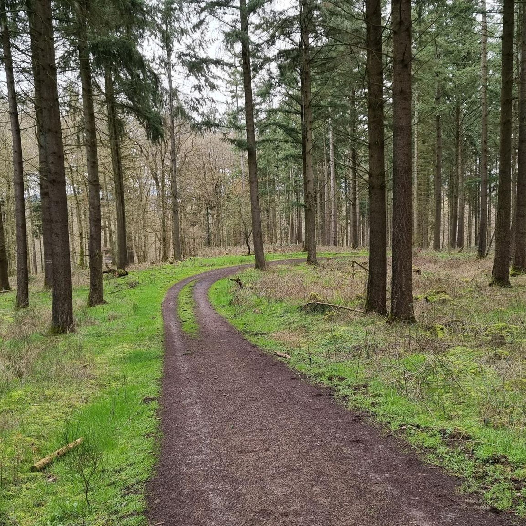
Neither a trail nor a hiking trail. It's a well-developed, gravel, and almost perfectly straight forest highway. There's nothing interesting to discover, nor any riding challenges. Ideal for covering distances without traffic, but definitely not a mountain biking highlight.
1
0

Unfortunately, it's closed. What a shame.
0
0
Frequently Asked Questions
How many mountain bike trails are available around Langenweißbach?
There are over 570 mountain bike routes around Langenweißbach, offering a wide variety of terrain and difficulty levels for all riders.
What kind of terrain can I expect when mountain biking in Langenweißbach?
Langenweißbach is situated in the foothills of the Ore Mountains, offering a diverse landscape of rolling hills, dense forests, and clear streams. You'll encounter varied topography, from challenging climbs to scenic paths along the Mulde river valley.
Are there mountain bike trails suitable for beginners in Langenweißbach?
Yes, Langenweißbach offers a good selection of trails for beginners. Out of over 570 routes, 135 are classified as easy, providing a gentle introduction to mountain biking in the region.
Are there any challenging mountain bike routes for experienced riders?
Absolutely. For experienced riders seeking a challenge, there are 66 difficult mountain bike routes around Langenweißbach. These trails often feature significant elevation gains and more technical sections, such as the Stein Castle, Hartenstein – Zwönitz View Frame loop from Hartenstein, which includes over 790 meters of ascent.
Can I find circular mountain bike routes in Langenweißbach?
Yes, many of the mountain bike routes in Langenweißbach are designed as loops. For example, the Iron Bridge Over the Mulde – Floßgrabenweg loop from Hartenstein is a popular moderate circular trail covering nearly 40 km.
What are some notable viewpoints or landmarks I can see while mountain biking?
The region offers several scenic viewpoints and historical landmarks. You might encounter highlights such as the Bismarck Tower Keilberg or the Dr. Köhler Tower and Glöckner Inn on the Gleesberg, offering panoramic views. The Iron Bridge Over the Mulde – Zwönitz View Frame loop from Hartenstein specifically offers views of the surrounding landscape.
Are there any natural attractions or unique geological features to explore?
Yes, the area is rich in natural features. You can explore nearby landscape protection areas like "Hartensteiner Muldental" and "Wildenfelser Zwischengebirge". The Princes' Cave and the Cave Entrance on Floßgrabenweg are also interesting natural highlights along some routes.
What do other mountain bikers say about the trails in Langenweißbach?
The mountain bike trails in Langenweißbach are highly regarded by the komoot community, with an average rating of 4.6 stars from over 1,800 reviews. Riders often praise the varied terrain, the scenic beauty of the Mulde Valley, and the extensive network of trails suitable for different skill levels.
Are there any longer mountain bike tours available for a full day out?
Yes, there are several longer tours for a full day of riding. For instance, the Rümpfwald Trail – Bimmelbahnweg Bridge loop from Hartenstein is a moderate 54 km route that typically takes around 3 hours and 39 minutes to complete, offering an extended adventure.
What is the best time of year for mountain biking in Langenweißbach?
The region's hilly and forested terrain is generally enjoyable from spring through autumn. While specific weather conditions vary, these seasons typically offer pleasant temperatures and vibrant scenery, making them ideal for exploring the trails.
Are there any historical sites or castles accessible by mountain bike?
Yes, you can combine your ride with visits to historical sites. The Stein Castle, Hartenstein – Zwickau Market Square loop from Hartenstein is a route that passes by Stein Castle, offering a glimpse into the region's history amidst your ride.
Most popular routes around Langenweißbach
Most popular attractions around Langenweißbach

Get inspired with the komoot mobile app


Explore more
Browse the best MTB trails in other regions.
