Top 4 Mountain Passes around Montacuto
Mountain passes around Montacuto are situated in the Ligurian Apennines, within the Province of Alessandria, Piedmont. This Montacuto geographical area is characterized by mountainous terrain and serves as a borderland between regions like Piedmont, Lombardy, Liguria, and Emilia Romagna. The landscape features river basins such as the Curone and Borbera valleys, offering varied natural features for exploration. The region provides a setting for outdoor activities across its elevated points and passes.
Best mountain passes around Montacuto
- The most popular mountain…
Last updated: June 28, 2026
Passo del Giovà
Highlight • Mountain Pass
Translated by Google •
Tip by

Capanne di Cosola
Highlight • Mountain Hut
Translated by Google •
Tip by
Sign up now to discover places like this
Get recommendations on the best single tracks, peaks, & plenty of other exciting outdoor places.
Sign up for free
Monte Costrone
Highlight • Summit
Translated by Google •
Tip by

Emilia-Romagna–Piedmont Border
Highlight • Mountain Pass
Showing Translation
Tip by
Passo Monte Rosso
Highlight • Mountain Pass
Translated by Google •
Tip by

Start today with a free account
Your next adventure awaits.
Login or Signup

Tips from the Community

Beautiful and scenic stop after the climb along the Apennine bike tour
1
0

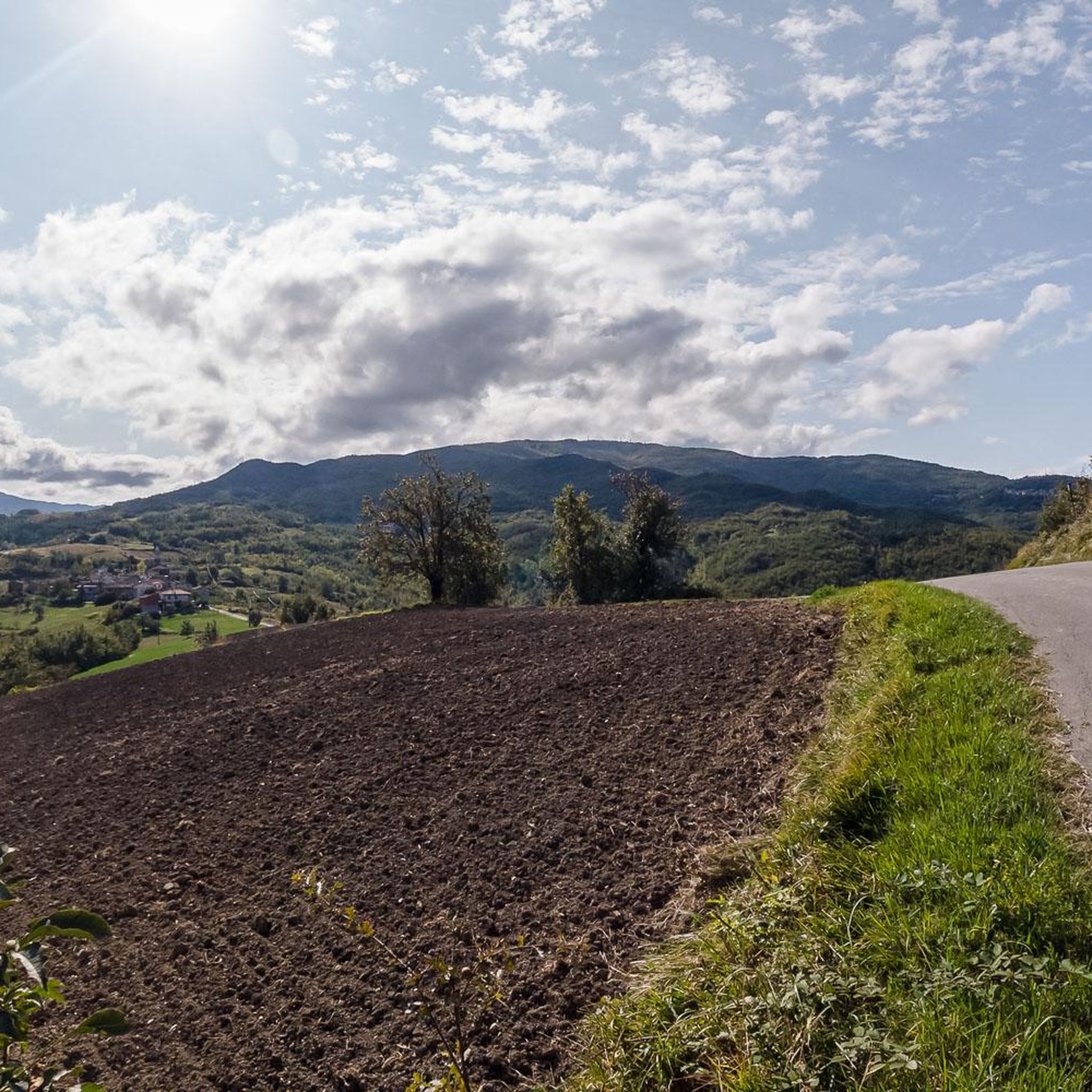
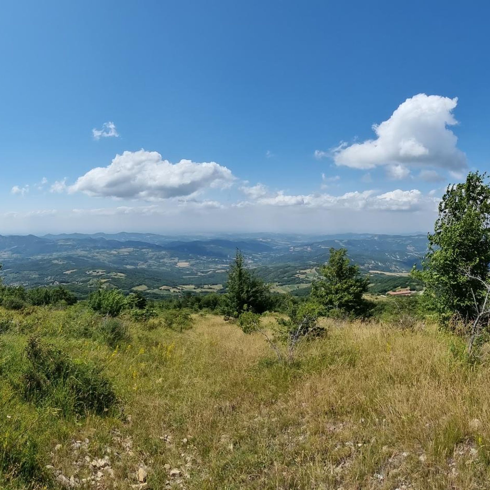
The border between Emilia-Romagna and Piedmont crosses a very mountainous and sparsely populated part of the northern Apennines. It largely follows the mountain ridges, which separate the river basins of the two regions.
14
0

Traveling along the Appennino Bike Tour, the pass is reached after about two km of descent from the Capanne di Cosola towards the Staffora Valley. The views towards the valley begin.
3
0

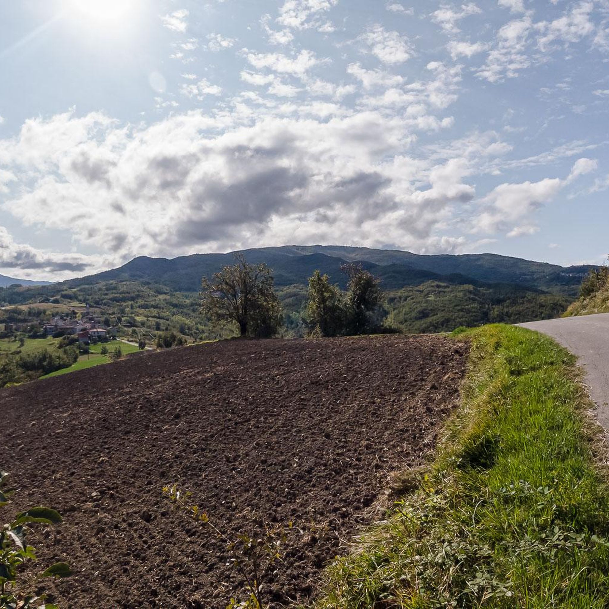
After passing Avolasca in the direction of the mountains, the climb becomes steeper with an average gradient of 14% and peaks of 18%. The climb ends at the Passo Monte Rosso, about a kilometer and a half after Avolasca.
0
0

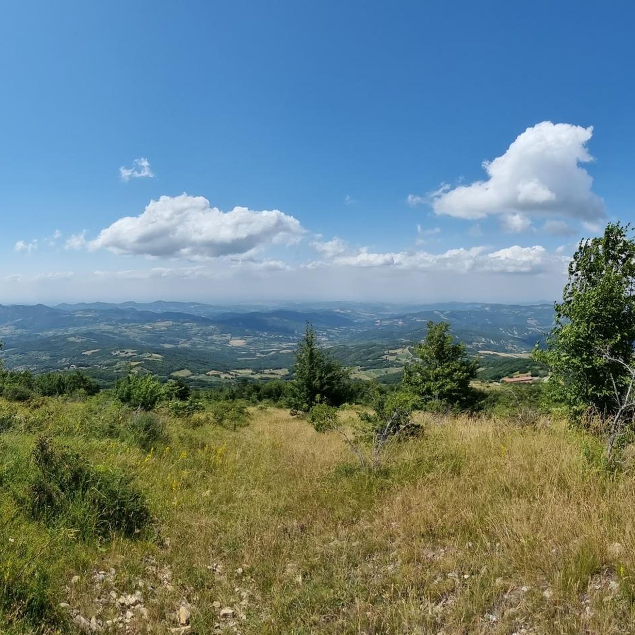
This mountain rises to 1667 meters, marking the border between the municipalities of Cabella Ligure and Fabbrica Curone, in the province of Alessandria. A curious detail is that on different maps its name changes: some call it Monte Oserone, others even Monte Coserone, but the correct name is Monte Cosfrone.
2
0
Climb with terrible asphalt from Brallo but the views are stupendous.
29
0
Very long climb but not very difficult.
25
0

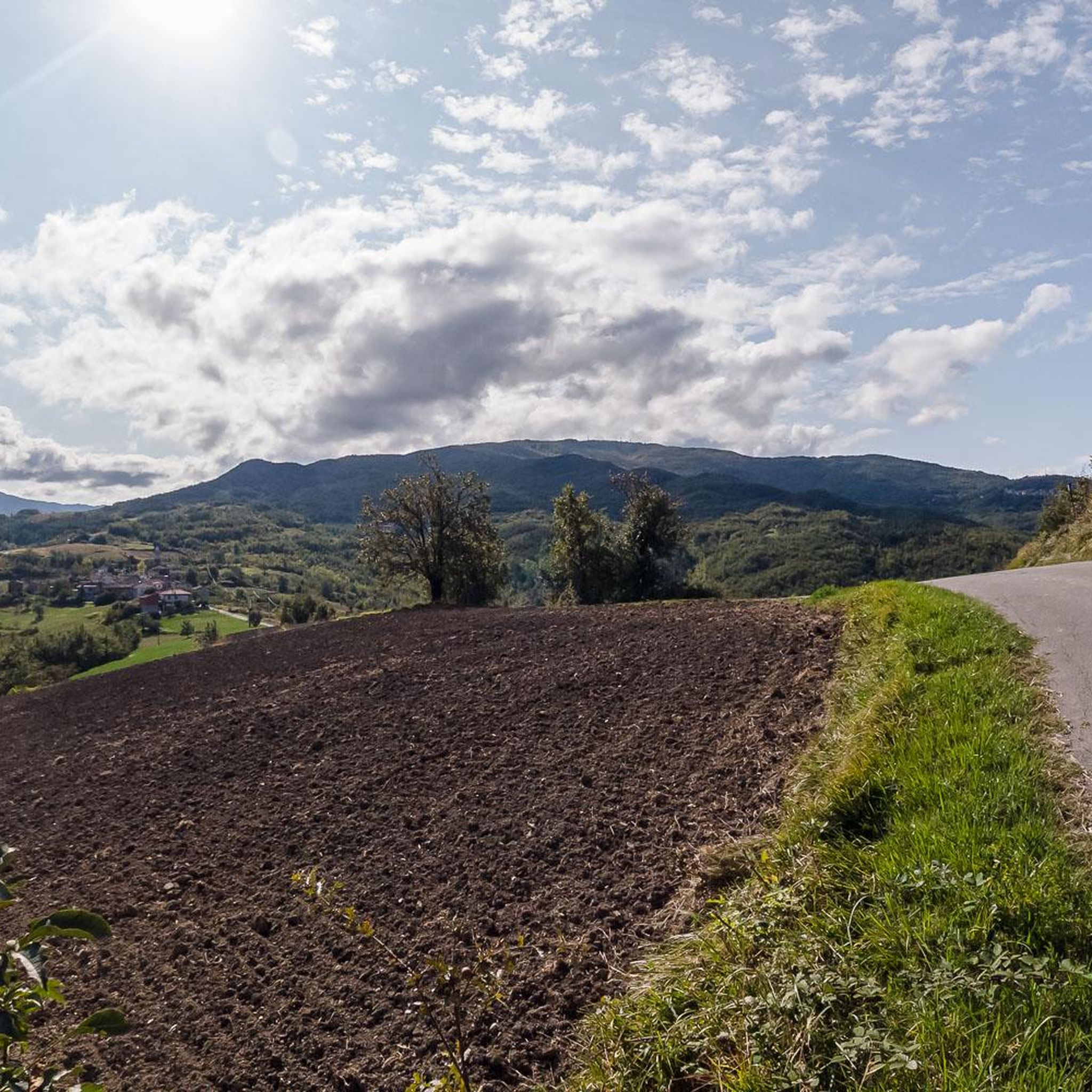
The Giova' pass (1,368 m above sea level) is a pass located between the Colletta peak (1,490 m above sea level) and the Capanne di Cosola pass (1,500 m above sea level). It is best known for its clear night skies, for which it is called the "star pass". Even during the day it offers breathtaking views.
6
0
Frequently Asked Questions
What kind of terrain and natural features can I expect on mountain passes around Montacuto?
The mountain passes around Montacuto are situated in the Ligurian-Piedmontese Apennines, offering varied terrain. You'll find mountainous and often sparsely populated areas, with passes like Passo del Giovà known for breathtaking views and clear night skies. Monte Costrone, a prominent summit, marks the watershed between the Curone and Borbera valleys, providing a sense of the region's natural boundaries.
Are there any mountain passes around Montacuto that are particularly good for cycling?
Yes, several passes are popular with cyclists. Passo del Giovà is part of the Appennino Bike Tour, offering a rewarding experience. Capanne di Cosola is a very popular destination for cyclists, despite some challenging asphalt sections. Passo Monte Rosso features a steep climb with gradients up to 18%, appealing to those looking for a challenge. The Emilia-Romagna–Piedmont Border pass also includes cycle ways.
What is the best time of year to visit the mountain passes around Montacuto?
The best time to visit the mountain passes around Montacuto for hiking and cycling is generally from late spring through early autumn (May to October). During these months, the weather is typically milder and more stable, making outdoor activities more enjoyable. Winter conditions can bring snow and ice, making some passes challenging or inaccessible.
Are there family-friendly activities or passes suitable for beginners near Montacuto?
While specific 'family-friendly' categories are not listed for the passes themselves, the general area offers various outdoor activities. For hiking, you can explore routes like the 'Monte Giarolo — Ring Tour' or the 'Caldirola Fountain Trail (Anello delle fontane)', which are rated as moderate. For more options, check the Hiking around Montacuto guide.
What kind of views can I expect from the mountain passes in this region?
The mountain passes around Montacuto offer diverse and often expansive views. Passo del Giovà is renowned for its 'breathtaking views' and clear night skies, earning it the nickname 'star pass'. Capanne di Cosola also provides 'stupendous' views, particularly during the climb. Many passes, including Monte Costrone and Passo Monte Rosso, are noted for their scenic viewpoints across the Ligurian Apennines and surrounding valleys.
Are there any places to stay or eat near the mountain passes?
Yes, Capanne di Cosola is a settlement that hosts a refuge, making it a convenient stop for hikers and cyclists looking for accommodation or refreshments. While specific cafes or pubs are not detailed for every pass, larger villages and towns in the Val Curone and Borbera valleys will offer options for food and lodging.
What outdoor activities, besides visiting passes, can I do around Montacuto?
Beyond exploring the mountain passes, Montacuto and its surroundings are excellent for various outdoor activities. You can find numerous hiking trails, from moderate to difficult, such as the 'Monte Giarolo — Ring Tour' or the 'Curone Valley Walk to San Sebastiano Curone'. For cyclists, there are dedicated guides for traffic-free bike rides and road cycling routes, including challenging loops like 'Val Borbera – View of the Borbera Stream loop'.
Which mountain passes around Montacuto are considered the most popular or highly rated?
Among the mountain passes around Montacuto, Capanne di Cosola is highly regarded, not just as a pass but also as a popular destination for cyclists and hikers, known for its fantastic places and beautiful memories. Passo del Giovà is also very popular, especially for its clear night skies and scenic beauty.
Is it possible to reach these mountain passes using public transport?
Information on direct public transport to the specific mountain passes is limited. Generally, in mountainous and sparsely populated areas like the Ligurian-Piedmontese Apennines, public transport options might be infrequent or only reach nearby towns. It is advisable to plan your trip with a car or consider cycling as a primary mode of transport to access these passes.
Are there any passes that mark significant geographical borders?
Yes, Capanne di Cosola is notable for being located on the border between four regions: Piedmont, Lombardy, Liguria, and Emilia Romagna. Additionally, the Emilia-Romagna–Piedmont Border itself is a mountain pass that largely follows the mountain ridges separating the river basins of these two regions.
Most popular attractions around Montacuto

Get inspired with the komoot mobile app


Explore more
See even more epic mountain passes by checking out these guides around Montacuto:
