The best walks and hikes around Siapicia/Siapiccia
4.6
(8)
44
hikers
7
hikes
Hiking around Siapiccia/Siapiccia, located in the Province of Oristano, Sardinia, offers diverse terrain for outdoor exploration. The municipality sits at the western foothills of Monte Grighine and borders the Campidano di Oristano plain, providing varied landscapes. The region is characterized by eroded rocks, dense Mediterranean scrub, and quartzite outcrops, with historical elements like Nuragic ruins adding cultural interest. Thermal springs are also present in the area, contributing to its unique natural features.
Best hiking trails around Siapicia/Siapiccia
- The most popular…
Last updated: October 15, 2026
4.8
(4)
22
hikers
14.2km
04:02
320m
320m
Moderate hike. Good fitness required. Easily-accessible paths. Suitable for all skill levels.
4.0
(3)
8
hikers
6.35km
01:41
70m
70m
Easy hike. Great for any fitness level. Easily-accessible paths. Suitable for all skill levels.

5
hikers
4.37km
01:12
70m
70m
Easy hike. Great for any fitness level. Easily-accessible paths. Suitable for all skill levels.
2
hikers
9.58km
02:27
40m
40m
Moderate hike. Good fitness required. Easily-accessible paths. Suitable for all skill levels.
3
hikers
12.3km
03:29
270m
270m
Moderate hike. Good fitness required. Easily-accessible paths. Suitable for all skill levels.
Get access to more routes and recommendations from other explorers.
Already have an account?
Our route recommendations are based on thousands of hikes, rides, and runs completed by other people on komoot.
Start today with a free account
Your next adventure awaits.
Popular around Siapicia/Siapiccia
Tips from the Community

Fully equipped space. Unfortunately not serviced in February..
1
0
Only a small part is visible because the remaining part was incorporated into the city.
2
0
It's worth a visit, the architecture is interesting and the audio guide gives you detailed information about what you see. Entrance to the baths is included in the price (or vice versa). So if you see one you can also see the other as they are just a few minutes drive or probably 5-10 minutes walk away
1
0
A beautiful church, a must if you are traveling through Fordongianus.
1
0
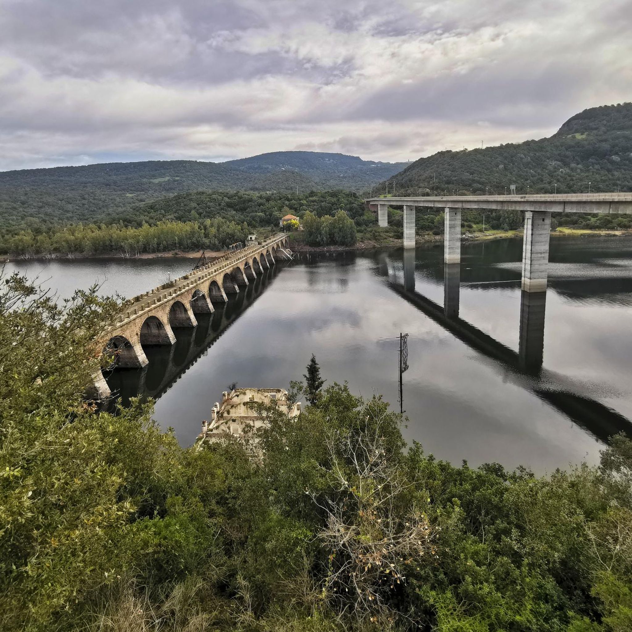
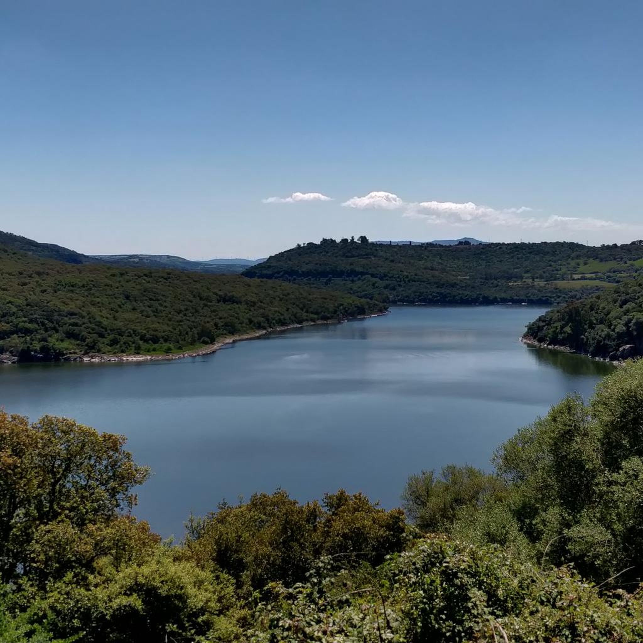
The Tirso is the longest river in Sardinia. It rises as Riu de su Campo north of Bitti, in the province of Nuoro on the east side of the island, flows through the Lago Omodeo reservoir and flows into Oristano on the west side of the island. In the middle reaches it is spanned by the Ponte Ezzu, an old Roman bridge, near Illorai. It is 150 km long and is only navigable in the last few kilometers. The fertile plain north of Oristano through which it flows is called the Tirso plain.
1
0

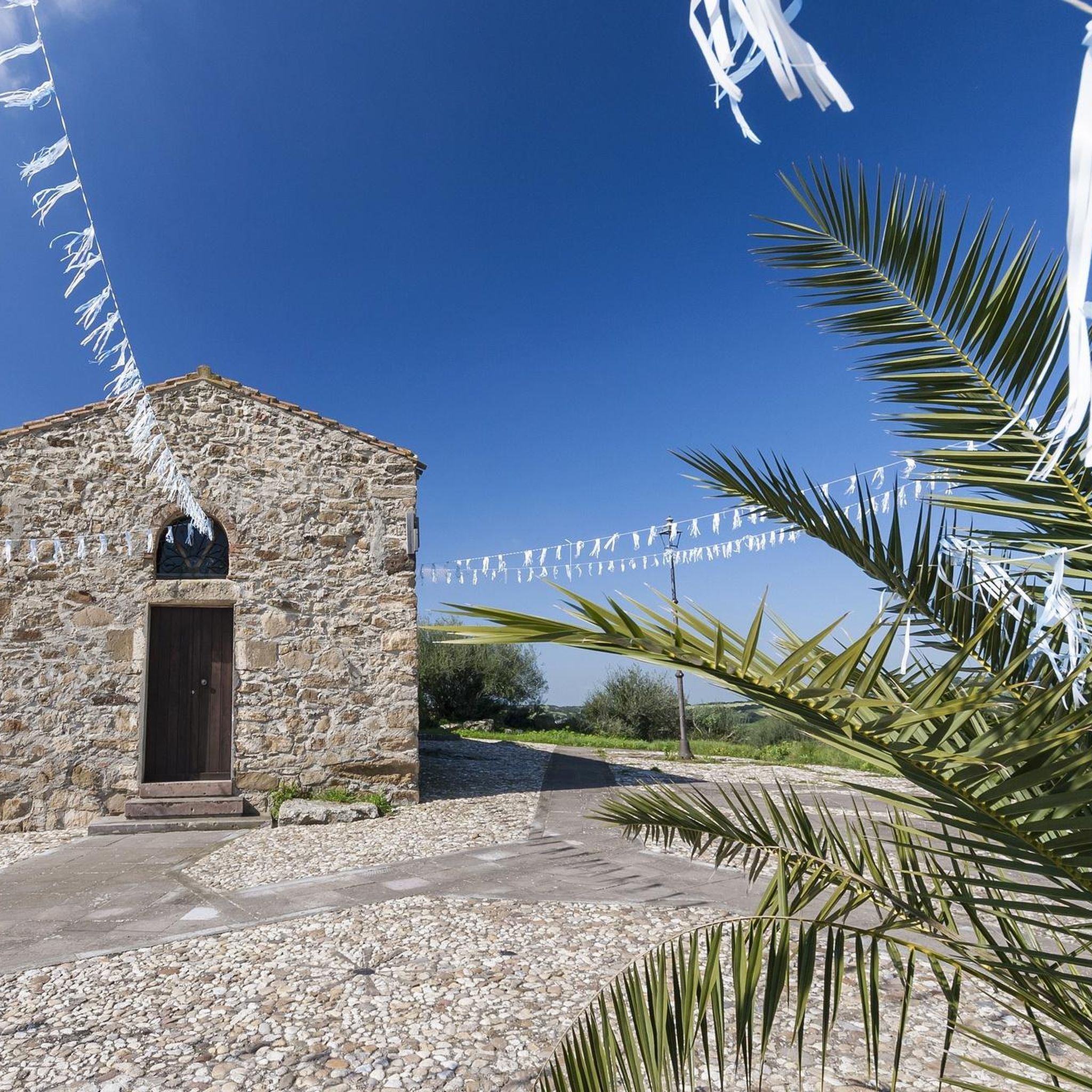
The pretty church was built from red trachyte. It is named after San Lussorio, a Roman soldier who was converted to Christianity. He suffered his martyrdom here during the persecution of Christians under Diocletian. In the 4th century, an underground tomb was built in his honor, which today forms the church's crypt. The Romanesque-style church was built in the 12th century by Vittorini monks who made it their mission to enhance the sites of martyrs. The church was actually closed, but after a call a nice lady came by and opened the small area for us.
0
0

The Aragonese House is a splendid example of stately architecture dating back to around the 16th-17th century. The house is divided into two parts and one of these houses a museum. Not far from here stands the church of San Pietro Apostolo.
1
0
Here you can still see a small piece of the old Roman road.
0
0
Frequently Asked Questions
What types of landscapes can I expect to see while hiking around Siapiccia?
Hiking around Siapiccia offers a diverse range of landscapes. You'll encounter the rugged terrain of Monte Grighine with its eroded rocks and dense Mediterranean scrub, providing panoramic views. The area also features quartzite outcrops and borders the Campidano di Oristano plain, offering varied scenery from mountainous to more open countryside.
Are there any easy hiking trails suitable for beginners or families near Siapiccia?
Yes, there are several easy options. For instance, the Casa Aragonese – Roman Baths of Fordongianus loop from Fordongianus is an easy 4.0-mile (6.4 km) path, perfect for a relaxed walk. Another easy option is the Casa Aragonese – Roman Baths of Fordongianus loop from Fordongianus, which is 2.7 miles (4.4 km) long and also offers views of ancient Roman structures.
Can I find challenging hikes for experienced hikers in the Siapiccia area?
While most routes are moderate, the region offers opportunities for more experienced hikers, particularly on Monte Grighine. An 'ecological walk' on Monte Grighine, organized by the Pro Loco of Siapiccia, includes a more challenging 10 km route with a 400m elevation gain. The Casa Aragonese – Camper Area Near Roman Baths loop from Fordongianus is a moderate 8.8-mile (14.2 km) trail with over 300 meters of elevation gain, offering a good workout.
Are there any circular hiking routes available near Siapiccia?
Yes, many of the trails in the area are circular. Examples include the Casa Aragonese – Camper Area Near Roman Baths loop from Fordongianus, the Casa Aragonese – Roman Baths of Fordongianus loop from Fordongianus, and the Casa Dessy loop from Solarussa. These loops allow you to start and end at the same point, making logistics easier.
What historical sites or attractions can I explore while hiking around Siapiccia?
The region is rich in history. You can encounter ancient Nuragic ruins, remnants of Sardinia's Bronze Age civilization, along various paths. Near some routes, you can visit the Fordongianus Roman Baths and Casa Aragonese. The Tirso River and Stone Bridge in Fordongianus also offer scenic and historical interest.
Are there any unique natural features, like thermal springs, to discover on hikes?
Yes, the area around Siapiccia is known for its thermal springs, such as "sa Mitza de s'acqua callenti" and "fonte de s'Arrogana." While specific hiking trails directly integrating these springs from Siapiccia are not always explicitly marked, their presence adds a unique natural element to the region's hydrological features, offering a chance to discover them during your exploration.
What is the best time of year to go hiking in Siapiccia?
The Mediterranean climate of Sardinia makes spring and autumn ideal for hiking in Siapiccia. During these seasons, temperatures are milder, and the landscape is vibrant. Summer can be very hot, making early morning or late afternoon hikes preferable, while winter offers cooler, often pleasant conditions, though some paths might be wet.
Are the hiking trails around Siapiccia dog-friendly?
Many trails in natural areas like Siapiccia are generally dog-friendly, especially those through Mediterranean scrubland and rural paths. However, it's always advisable to keep dogs on a leash, particularly in areas with livestock or dense vegetation, and to check local regulations for specific routes or protected areas.
What do other hikers enjoy most about the trails in Siapiccia?
The trails around Siapiccia are highly rated by the komoot community, with an average score of 4.4 stars from over 7 reviews. Hikers often praise the varied terrain, the historical elements like Roman structures, and the opportunity to experience the authentic Sardinian landscape, from river views to agricultural areas.
Are there any trails that offer panoramic views of the region?
Absolutely. Hiking to Monte Grighine, a significant natural landmark near Siapiccia, offers breathtaking 360-degree panoramic views. From its summit, you can see the Giara, the Gulf of Oristano, the Montiferru mountain range, and even the distant Gennargentu massif, providing a truly expansive perspective of Sardinia.
Is there public transport available to reach hiking trailheads near Siapiccia?
While Siapiccia is a smaller municipality, public transport options in rural Sardinia can be limited. It's recommended to check local bus schedules for connections to nearby towns like Fordongianus or Solarussa, where some trails begin. For greater flexibility, traveling by car is often the most convenient way to access various trailheads in the region.
Where can I find parking for hiking routes in the Siapiccia area?
Parking availability varies by trailhead. For routes starting in or near towns like Fordongianus or Solarussa, you can typically find parking in designated areas or along streets. When venturing into more remote areas, such as near Monte Grighine, look for small parking spots or clearings often used by hikers. It's always best to plan your route and check for specific parking information beforehand.
Most popular routes around Siapicia/Siapiccia
Most popular attractions around Siapicia/Siapiccia

Get inspired with the komoot mobile app


Explore more
Browse the best Hikes in other regions.
