Top 6 Mountain Passes around Serino
Best mountain passes around Serino are found within the Monti Picentini mountain range, a region known for its natural landscapes. These passes often refer to high-altitude plateaus or navigational points along hiking trails rather than conventional road passes. The area offers diverse terrain, from dense beech forests to open vistas, providing opportunities for outdoor exploration. The Monti Picentini Regional Park encompasses many of these routes, featuring rich biodiversity and varied geological formations.
Best mountain passes around Serino
- The most popular…
Last updated: August 22, 2026
Varco della Teglia
Highlight • Mountain Pass
Translated by Google •
Tip by

Le Croci di Acerno
Highlight • Mountain Pass
Translated by Google •
Tip by

Sign up now to discover places like this
Get recommendations on the best single tracks, peaks, & plenty of other exciting outdoor places.
Sign up for free
Serino–Monte Terminio Provincial Road
Highlight • Mountain Pass
Translated by Google •
Tip by

Colla Finestra Pass
Highlight • Mountain Pass
Translated by Google •
Tip by
Porta di Monte Accellica (1,250 m)
Highlight • Mountain Pass
My friend Alessandro, an expert on the mountain, told me that from this point begins "l'Accellica" and you notice it, especially in summer, with a significant change in temperature and wind.
Translated by Google •
Tip by

Sign up for free to discover even more mountain passes around Serino.
Sign up for free
Already have an account?
Start today with a free account
Your next adventure awaits.
Login or Signup
Other adventures around Serino

Tips from the Community

From here begins the climb up the northern side of Mount Accellica
0
0

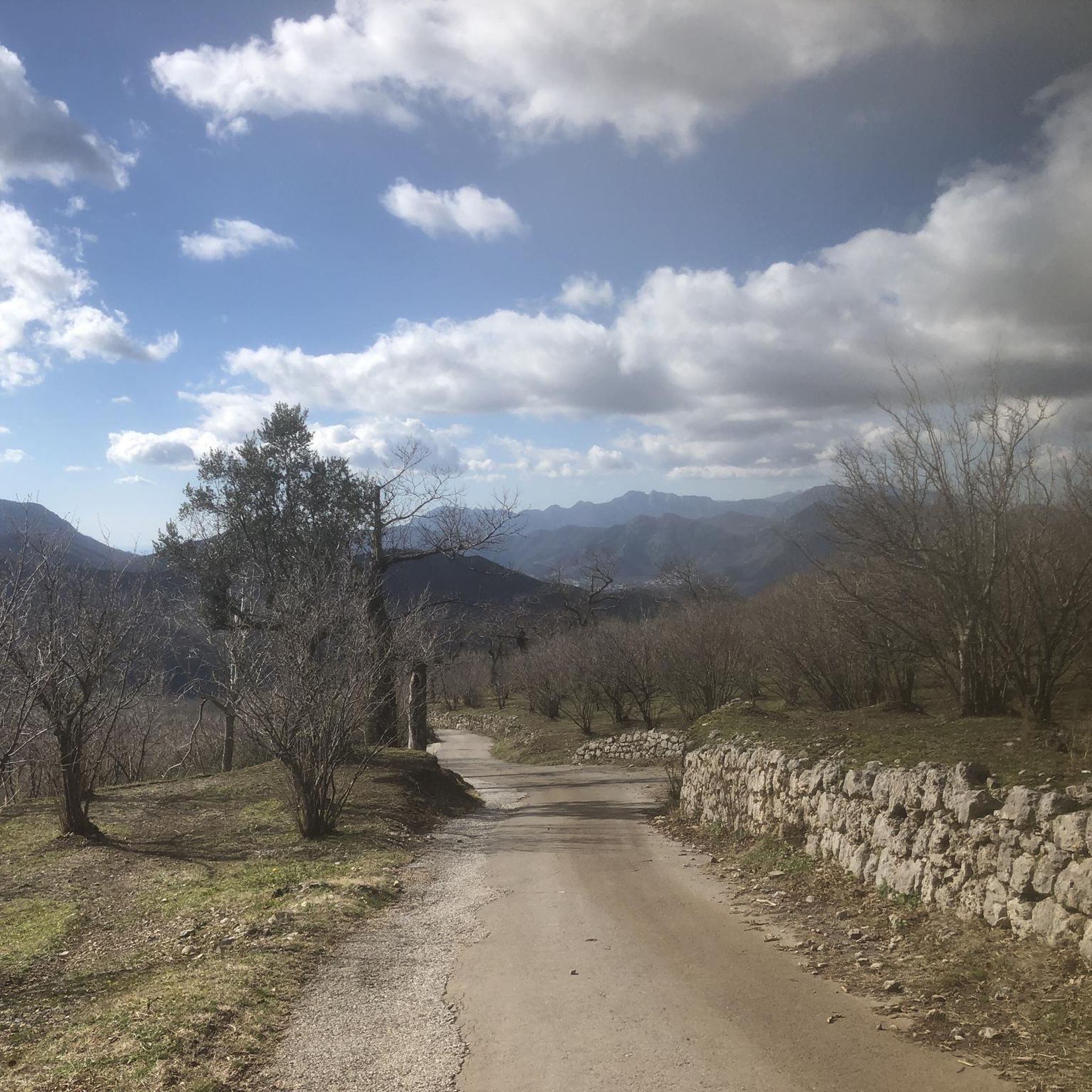
This is the Porta di monte Accellica (1250 m). My friend Alessandro, an expert on the mountain, told me that from this point begins "l'Accellica" and you notice it, especially in summer, with a significant change in temperature and wind.
2
0
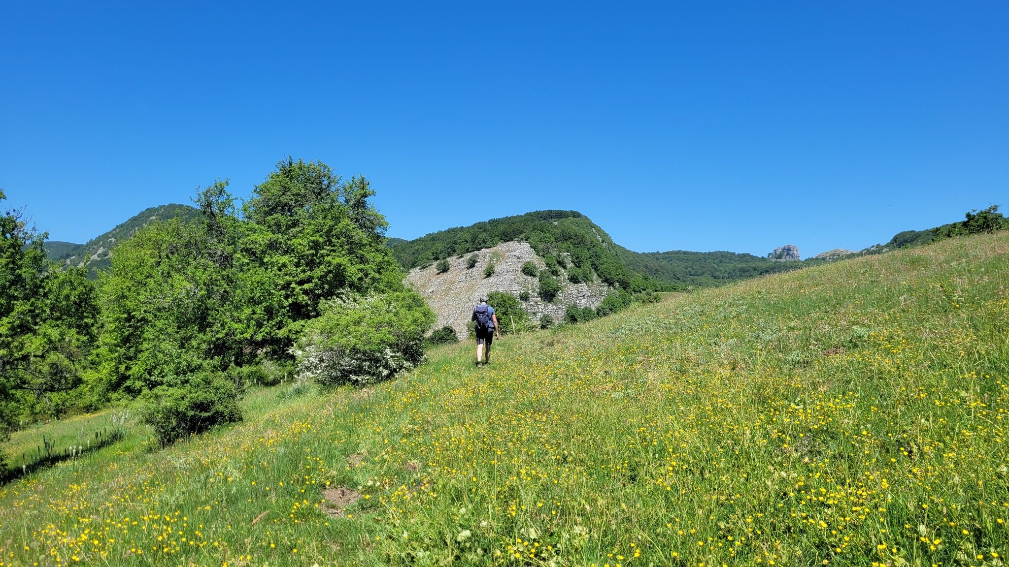
You come across Varco della Teglia when you want to reach Tuppo dell'Uovo or Mount Mai. The Varco della Teglia overlooks the Vallone della Tornola to the north and is surmounted to the west by the bulk of the Tuppo dell'Uovo, a large and singular spire which owes its name to its ovoid shape. Here is the intersection with route no. 116. It can be reached shortly on the left leaving the wood among laburnum trees up a stony passage to reach the summit of Tuppo dell'Uovo (Toppo), from which Pizzo San Michele, Teminio, the Monti di Quarry and Monte Mai. Trekking clothing, sturdy shoes and mountaineering experience are required.
4
0

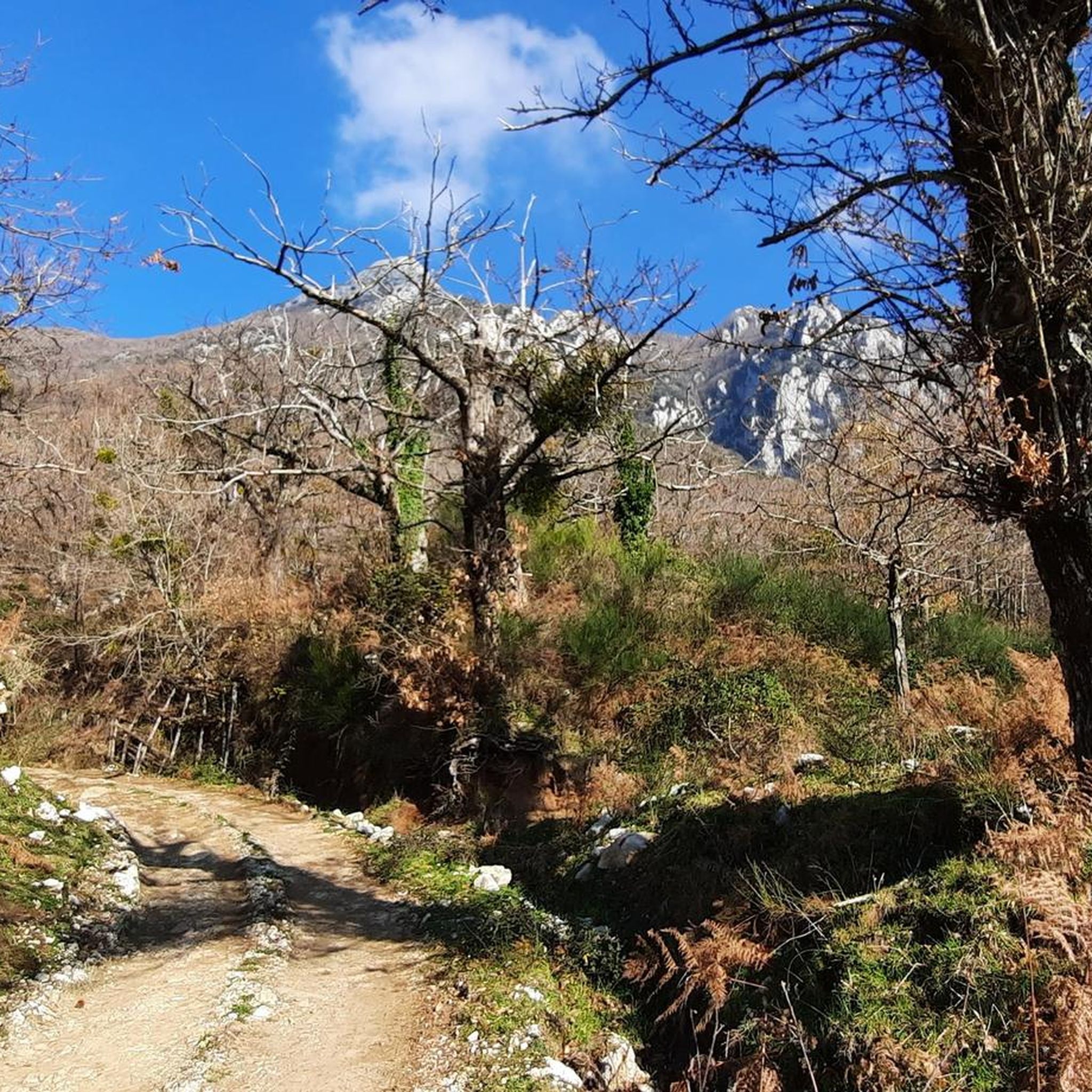
The pass of the Croci di Acerno marks the border between the provinces of Salerno and that of Avellino. At an altitude of 840 meters, several paths start from here within the Regional Park of the Picentini Mountains.
2
0

Intersection point of various paths.
4
0
Intersection point of the CAI 111 path from Barrizzullo and CAI 104 which leads up to the Accellica.
3
0
Location the Crosses of Acerno
7
0
Location the crosses of Acerno.
3
0
Frequently Asked Questions
What kind of mountain passes can I expect to find around Serino?
The mountain passes around Serino are primarily high-altitude plateaus or significant navigational points along hiking trails within the Monti Picentini mountain range, rather than conventional road passes. They offer access to diverse terrain, from dense beech forests to open vistas, ideal for outdoor exploration.
What are some notable natural features to explore in the Serino mountain passes area?
The region is rich in natural beauty, particularly within the Monti Picentini Regional Park. You'll find extensive beech forests, diverse flora and fauna, calcareous and dolomitic rock formations, and numerous water sources. Areas like Piano di Verteglia are known for their serene natural environment and carstic phenomena.
Are there challenging hiking routes near Serino's mountain passes?
Yes, for those seeking a challenge, the ascent to Monte Terminio from Serino–Monte Terminio Provincial Road or Piano di Verteglia offers a rewarding trek. While steep in parts, it traverses beautiful wooded areas and provides breathtaking panoramic views from the summit. The Varco della Teglia is another intersection point for challenging paths, requiring mountaineering experience.
What outdoor activities can I do near these mountain passes?
The area around Serino's mountain passes is excellent for various outdoor activities. You can find numerous routes for cycling, mountain biking, and road cycling. For example, there are challenging cycling routes like the Monte Terminio Loop and MTB trails such as the Laghetto della Madonna – Piano di Verteglia loop. You can explore more options in the Cycling around Serino, MTB Trails around Serino, and Road Cycling Routes around Serino guides.
Which mountain passes offer the best panoramic views?
Many passes provide stunning vistas. From the summit of Monte Terminio, accessible via Piano di Verteglia, you can enjoy panoramic views that can extend to Avellino, the Gulf of Salerno, and even Mount Vesuvius on clear days. Serino–Monte Terminio Provincial Road also offers a breathtaking view along its route.
Are there any historically significant mountain passes or areas near Serino?
While not a traditional pass, the area of Piano di Verteglia has historical significance. The term "Verteglia di Campolaspierto" is linked to the etymology of Serino's name, suggesting it was a significant historical route or closure in the past. The Monti Picentini region itself has a rich history tied to its natural resources and strategic location.
What is the significance of <a href="https://www.komoot.com/highlight/4055699" target="_blank" rel="noopener">Le Croci di Acerno</a>?
Le Croci di Acerno is a mountain pass that marks the border between the provinces of Salerno and Avellino. Situated at an altitude of 840 meters, it serves as a starting point for several paths within the Regional Park of the Picentini Mountains, making it a key access point for hikers.
Where can I find an intersection point for multiple hiking paths?
Colla Finestra Pass is a significant intersection point for trails. It serves as a watershed between the Sabato and Calore valleys and connects with the CAI 104 path, which leads to the NE peak of Accellica, and the CAI 111 path from Barrizzullo.
Is there a specific point that marks the beginning of Monte Accellica?
Yes, Porta di Monte Accellica (1,250 m) is considered the point where Monte Accellica begins. Visitors often notice a significant change in temperature and wind from this point, especially during summer, indicating the start of the mountain's distinct microclimate.
What is the best time of year to hike the mountain passes around Serino?
While specific recommendations vary, the Monti Picentini region generally offers pleasant hiking conditions during spring and autumn when temperatures are milder. Summer can be warm, but higher altitudes provide relief. Winter hiking is possible but requires appropriate gear due to potential snow and colder conditions, especially at higher elevations like Monte Terminio.
Are there any specific tips for hiking in the Serino mountain passes area?
When exploring the more challenging routes, such as those leading to Tuppo dell'Uovo or Monte Mai from Varco della Teglia, it's recommended to wear trekking clothing and sturdy shoes. Some paths may require mountaineering experience. Always be prepared for varying weather conditions, especially as you gain altitude.
Most popular attractions around Serino

Get inspired with the komoot mobile app


Explore more
See even more epic mountain passes by checking out these guides around Serino:
