Top 20 Natural Monuments around Montoro
Best natural monuments around Montoro showcase the region's diverse natural heritage, characterized by significant geological formations and rich Mediterranean landscapes. The area features impressive river meanders and extensive natural parkland. Visitors can explore varied terrain, from river valleys to hills and summits, offering a range of outdoor experiences. This region provides opportunities to observe unique geological features and diverse ecosystems.
Best natural monuments around Montoro
- The most popular natural monuments is Monte Mai Summit, a summit that reaches an…
Last updated: October 15, 2026
Casone De Fazio and Acqua Carpegna Spring
Highlight • Rest Area
Translated by Google •
Tip by

Monte Mai Summit
Highlight • Summit
Translated by Google •
Tip by

Sign up now to discover places like this
Get recommendations on the best single tracks, peaks, & plenty of other exciting outdoor places.
Frassineto Nature Area
Highlight • Forest
Panoramic
Traits tiring
But it rewards the effort
Translated by Google •
Tip by

Sanctuary of the Most Holy Savior of Serino
Highlight • Religious Site
Translated by Google •
Tip by
Hermitage of San Magno
Highlight • Religious Site
Translated by Google •
Tip by
Sign up for free to discover even more natural monuments around Montoro.
Already have an account?
Start today with a free account
Your next adventure awaits.

Tips from the Community

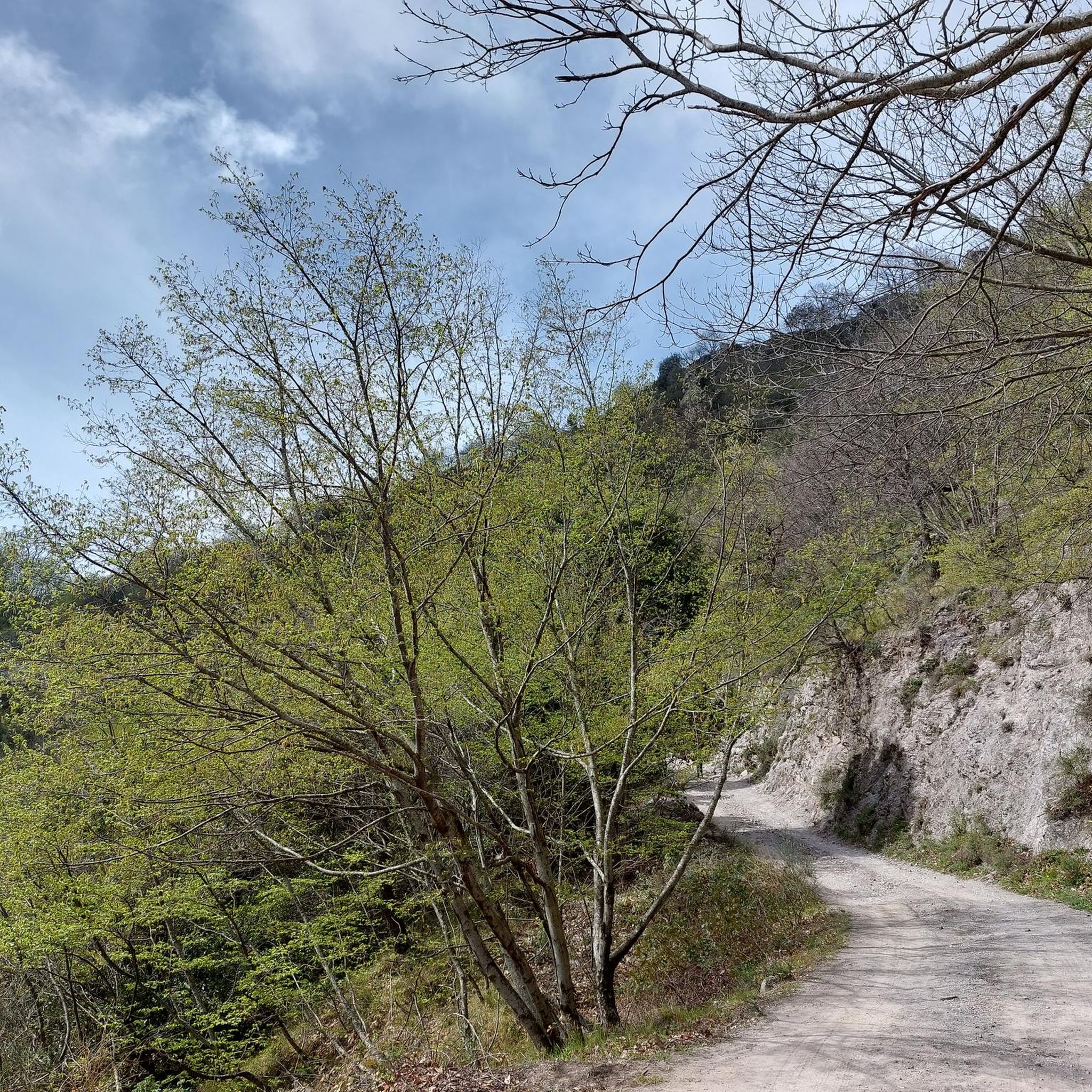
Classic car landing for hikers who don't feel like walking too much :)
0
0

Spring water fountain, here you can stock up before heading towards the Sanctuary of San Michela
0
0

The Hermitage of San Magno is an ancient natural cave located on the mountain of the same name, in which - according to a deep-rooted tradition - the Bishop of Trani San Magno took refuge during his escape from the persecutions of Decius. In fact, it would seem that during his long pilgrimage from Trani to Rome, he stopped at this hermitage which today bears his name, from 220 to 230 AD. Here he would have done the work of catechising the local population, to whom he would have appeared after his death in 251 AD, asking them to build a hermitage in the cave where he had lived. An image of the Saint, believed to be miraculous, is frescoed on the rock wall and dated 1541.
3
0

From here, take the CAI 115 path to reach Pizzo San Michele. There is a fairly bumpy paved road that allows you to reach the place, with an open space for parking
0
0

The area extends between the territories of Calvanico and Fisciano, in the province of Salerno, which is only 15 km away. We are located within the protected area of the Monti Picentini Regional Park, about 700 meters above sea level.
3
0
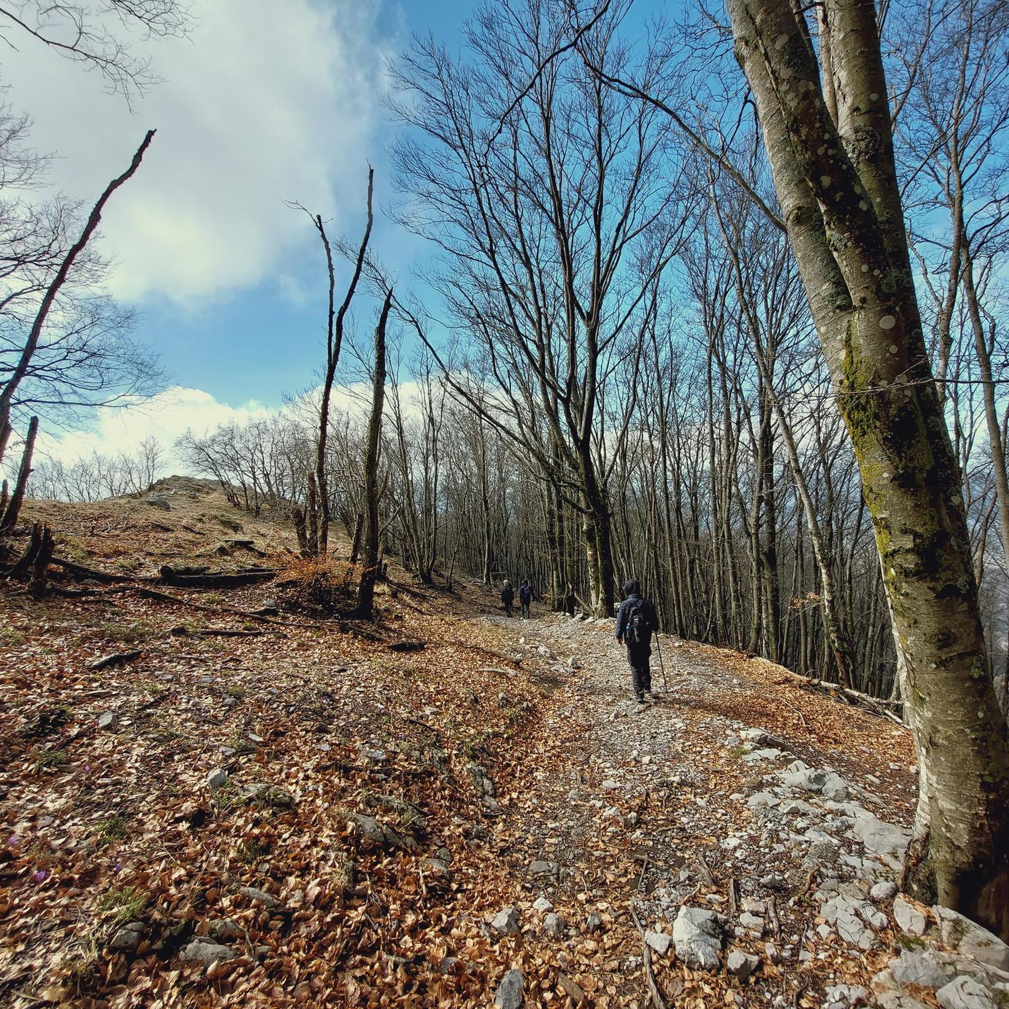
The naturalistic area of Frassineto is a forest of about 82 hectares, mainly made up of tall trees, such as ash trees (from which it takes its name) but you will also find beech and chestnut trees.
3
0
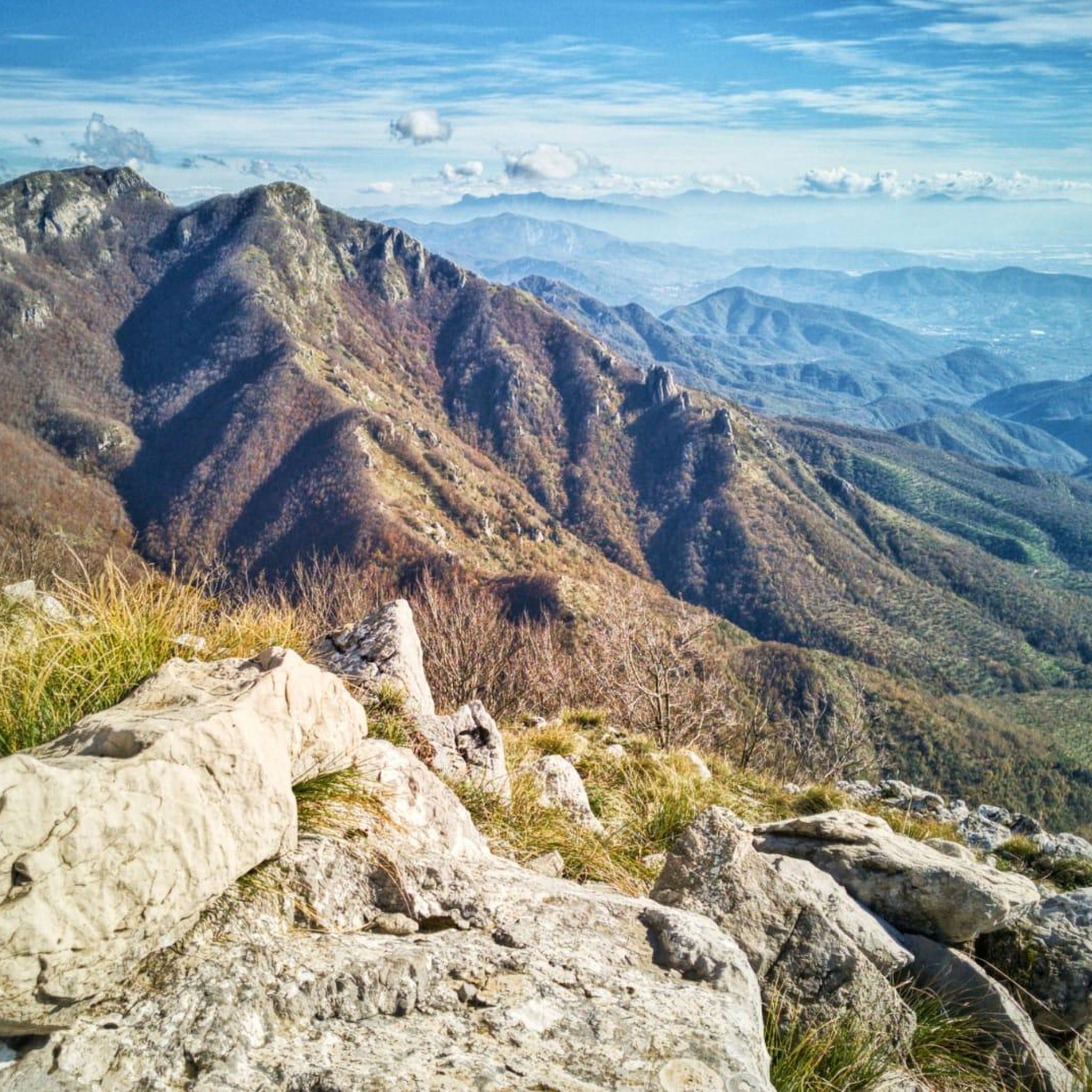
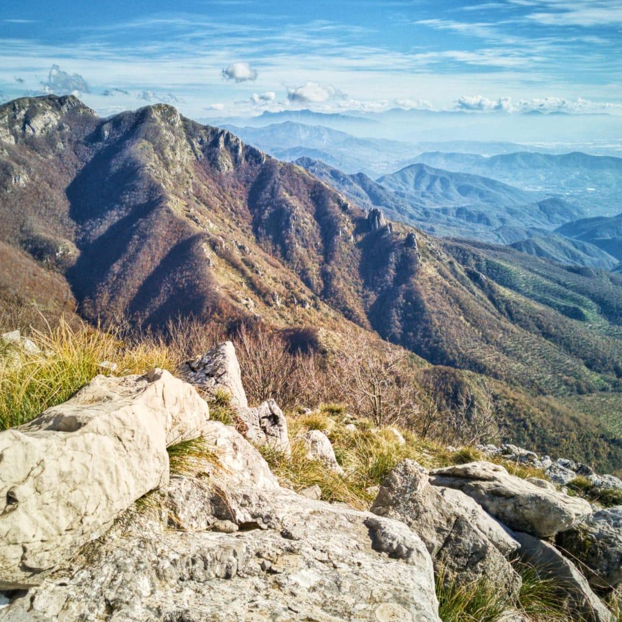
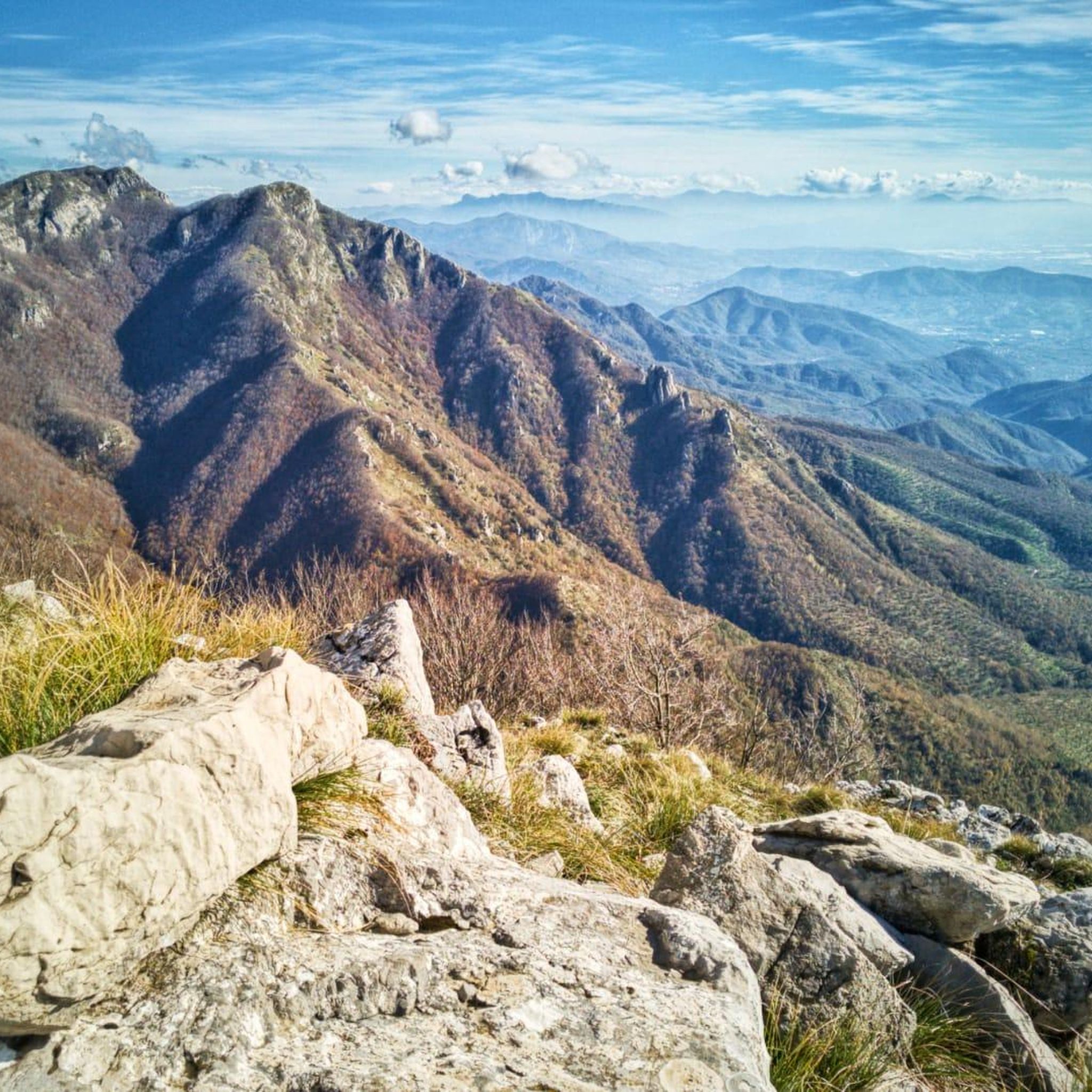
https://it.wikipedia.org/wiki/Monte_Mai from https://www.ulyxes.it/monte-mai-ee: The name of the Monti Mai certainly derives from the Latin word "maior", large. Some ancient papers and the same reports of Giustino Fortunato, illustrious explorer of the Picentini, also report the diction Maj. Main ridge of the homonymous mountain group, elongated in the ESE-WNW direction, the peak is located at the convergence of three ridges, impervious and interrupted by gaps, rocky crags and secondary peaks. The Monti Mai belong to the westernmost subgroup of the Monti Picentini, one of the largest mountain groups in southern Italy and part of the homonymous regional park. They are characterized by Mesozoic carbonate platform rocks and to a lesser extent by Triassic dolomites and marls. The vegetation that covers the Monti Mai is mainly represented by beech trees that cover the upper part, over 800 m, and chestnut trees on the slopes. The fauna, very rich, like that of all the Picentini Mountains, consists of large mammals, such as the wolf, the fox, the badger, the wild boar; birds of prey such as the peregrine falcon, the buzzard, the sparrowhawk, the goshawk; the black woodpecker, long-eared owl, dipper, kingfisher; amphibians such as the Apennine frog, the European green toad, the spectacled salamander, the fire salamander.
3
0

Summit of Monte Mai, where you can admire a breathtaking view that ranges from the Gulf of Salerno to Vesuvius, with an overview of the highest peaks of the Picentini Mountains.
3
0
Frequently Asked Questions
What are the most prominent natural features to explore around Montoro?
The Montoro region is primarily known for the impressive Meandro de Montoro, a dramatic 4.7-kilometer meander of the Guadalquivir River, showcasing unique geological formations. Additionally, a significant portion of the area falls within the Sierra de Cardeña y Montoro Natural Park, characterized by its Mediterranean woodlands, rolling hills, and deep river valleys like those carved by the Yeguas River.
Are there any natural monuments with panoramic views near Montoro?
Yes, the region offers several spots with excellent views. For instance, Monte Mai Summit, reaching 1,607 meters, provides a breathtaking panorama that includes the Gulf of Salerno, the Lattari mountains, the Gulf of Naples, and Vesuvius. Another viewpoint can be found at the Statue of Saint Francis on Monte Salto.
What kind of wildlife can I expect to see in the natural areas around Montoro?
The Sierra de Cardeña y Montoro Natural Park is a refuge for diverse fauna. Visitors might spot large mammals such as the Iberian lynx, wolves, otters, wildcats, foxes, and badgers. The park is also home to numerous birds of prey, including golden and imperial eagles. The tips for Monte Mai Summit also mention wolf, fox, badger, wild boar, and various birds of prey.
Are there family-friendly natural monuments or trails in the Montoro area?
Yes, the Frassineto Nature Area is an excellent choice for families. It's a forest with equipped picnic areas and naturalistic tours accessible for trekking and mountain biking, including games for children. The Casone De Fazio and Acqua Carpegna Spring also offers a family-friendly starting point for trails with ample parking.
What outdoor activities can I do near the natural monuments around Montoro?
The natural monuments around Montoro are ideal for various outdoor activities. You can enjoy cycling on routes like those found in the Cycling around Montoro guide, or explore gravel biking trails detailed in the Gravel biking around Montoro guide. For more challenging adventures, there are numerous MTB trails, as highlighted in the MTB Trails around Montoro guide. Hiking and wildlife observation are also popular, especially within the Sierra de Cardeña y Montoro Natural Park.
What is the best time of year to visit the natural monuments in Montoro?
The natural monuments around Montoro offer visual appeal throughout the year, with varied colors from golden and ochre tones to green layers and blue streams. Spring and autumn generally provide the most pleasant weather for outdoor activities like hiking and cycling, avoiding the intense heat of summer. Winter can also be beautiful, especially for observing wildlife.
Are there any historical or cultural sites integrated with the natural monuments?
Yes, the Sanctuary of the Most Holy Savior of Serino is a notable example. This ancient sanctuary is entirely dug into the rock on the slopes of Mount Terminio, believed to have been excavated around the late 1300s by a Benedictine community. It served as a refuge for pilgrims and offers a unique blend of natural cave formation and historical religious significance.
What are the terrain and difficulty levels of trails near Montoro's natural monuments?
The terrain varies significantly. Some areas, like the Monte Mai Summit and the path to the Sanctuary of the Most Holy Savior of Serino, involve challenging ascents with rocky or uneven ground. However, places like the Frassineto Nature Area offer more accessible naturalistic tours suitable for a wider range of abilities, including families.
Is there parking available at the natural monuments?
For some natural monuments, parking is available. For example, the Casone De Fazio and Acqua Carpegna Spring has ample space for parking cars, making it a convenient starting point for trails. For the Meandro de Montoro, a viewpoint is accessible by car, with directions provided from the A-4 motorway.
Can I bring my dog to the natural monuments around Montoro?
While specific rules for dogs at each natural monument can vary, generally, natural parks and outdoor areas in Spain are dog-friendly, often requiring dogs to be on a leash. It's always advisable to check local regulations for the specific area you plan to visit, especially within the Sierra de Cardeña y Montoro Natural Park, to ensure a pleasant experience for everyone.
Are there any natural springs or water sources available for hikers?
Yes, the Casone De Fazio and Acqua Carpegna Spring features a fountain with spring water, which is recommended for hikers to stock up before undertaking longer climbs. However, it's important to note that not all water sources are potable; for instance, the water near the Sanctuary of the Most Holy Savior of Serino is explicitly stated as not drinkable.
What makes the Meandro de Montoro a unique natural monument?
The Meandro de Montoro is unique due to its geological origin through epigenesis. The Guadalquivir River, which once flowed over softer soils, now cuts through and dominates harder rock formations, creating a series of dramatic bends. This geological phenomenon has sculpted a highly picturesque and distinctive landscape along a 4.7-kilometer stretch of the river.
Most popular routes around Montoro
Most popular attractions around Montoro

Get inspired with the komoot mobile app


Explore more
Extend your search for the best caves by checking out these guides of the top ones around Montoro:
