Top 4 Mountain Passes around Castiglione Del Genovesi
Best mountain passes around Castiglione Del Genovesi are found within the Province of Salerno, Italy, a region characterized by its mountainous terrain and inclusion in the Monti Picentini Regional Park. The area offers a landscape for outdoor activities, with numerous hiking trails and prominent peaks. Castiglione Del Genovesi is situated on the hillside below Monte Monna, providing access to natural monuments and various itineraries.
Best mountain passes around Castiglione Del Genovesi
- The most popular mountain passes is Serino–Monte Terminio Provincial…
Last updated: July 11, 2026
Varco della Teglia
Highlight • Mountain Pass
Translated by Google •
Tip by

Serino–Monte Terminio Provincial Road
Highlight • Mountain Pass
Translated by Google •
Tip by

Sign up now to discover places like this
Get recommendations on the best single tracks, peaks, & plenty of other exciting outdoor places.
Sign up for free
Patanaro Pass
Highlight • Mountain Pass
Translated by Google •
Tip by

Forcella della Cava
Highlight • Mountain Pass
Translated by Google •
Tip by
Varco della Collavricia
Highlight • Mountain Pass
Translated by Google •
Tip by

Start today with a free account
Your next adventure awaits.
Login or Signup
Tips from the Community

From the Patanaro or Cerasole gate it is possible to reach the main entrance to the ichthyol mines via path 169A. Alternatively you can head towards the Casone/Porta di Monte Diavolo or connect to the SP 25/b.
8
0

ATTENTION, from this gap, on March 10, 2024 the path to "San Michele di Mezzo" after 200-300m was completely blocked by vegetation and thorny brambles. It was not possible to proceed even with shears and billhooks.
3
0

Located at an altitude of 770 meters, the intersection point between the CAI paths 176 and 176A, with the latter allowing you to close a ring circuit starting from San Michele di Basso.
2
0
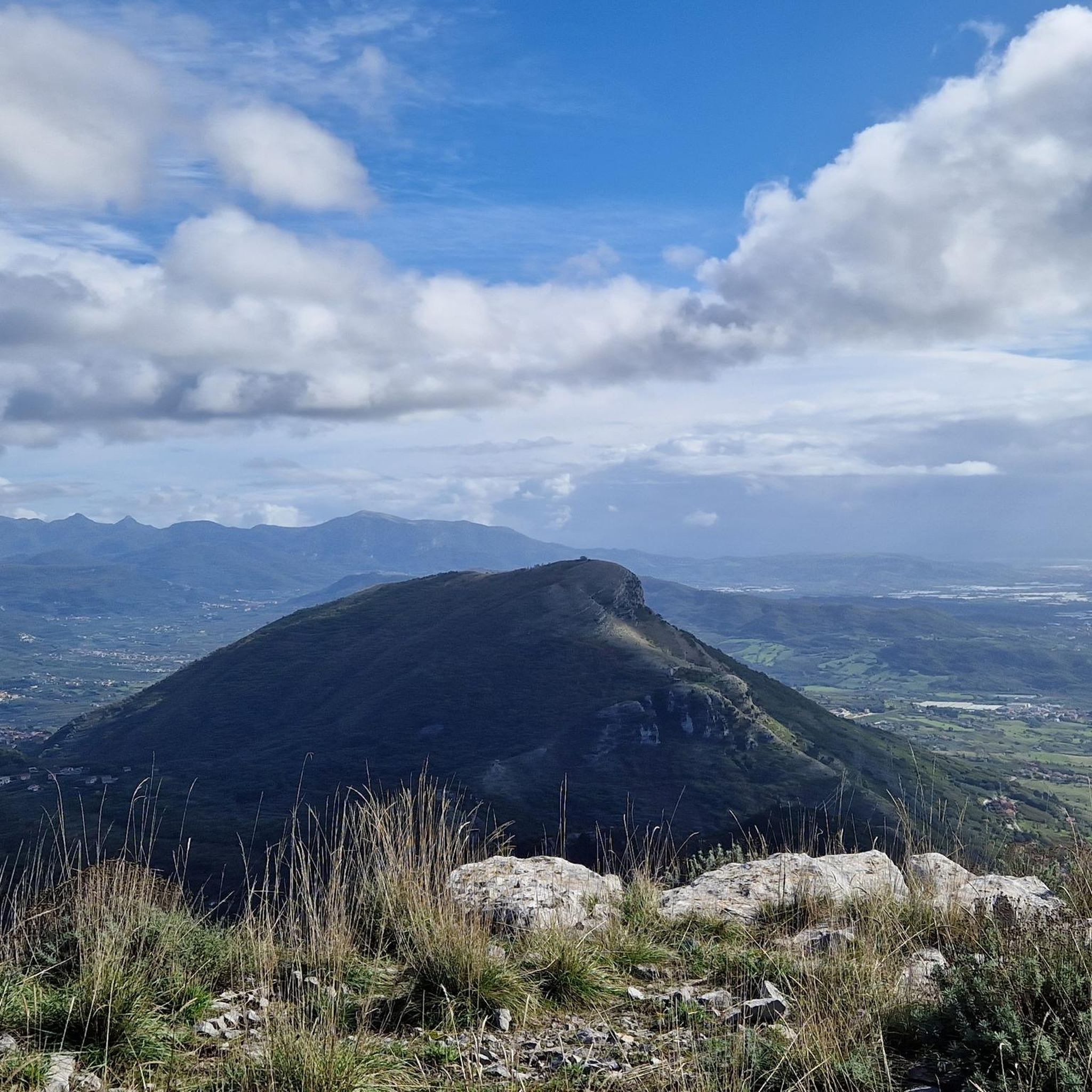
You come across Varco della Teglia when you want to reach Tuppo dell'Uovo or Mount Mai. The Varco della Teglia overlooks the Vallone della Tornola to the north and is surmounted to the west by the bulk of the Tuppo dell'Uovo, a large and singular spire which owes its name to its ovoid shape. Here is the intersection with route no. 116. It can be reached shortly on the left leaving the wood among laburnum trees up a stony passage to reach the summit of Tuppo dell'Uovo (Toppo), from which Pizzo San Michele, Teminio, the Monti di Quarry and Monte Mai. Trekking clothing, sturdy shoes and mountaineering experience are required.
4
0
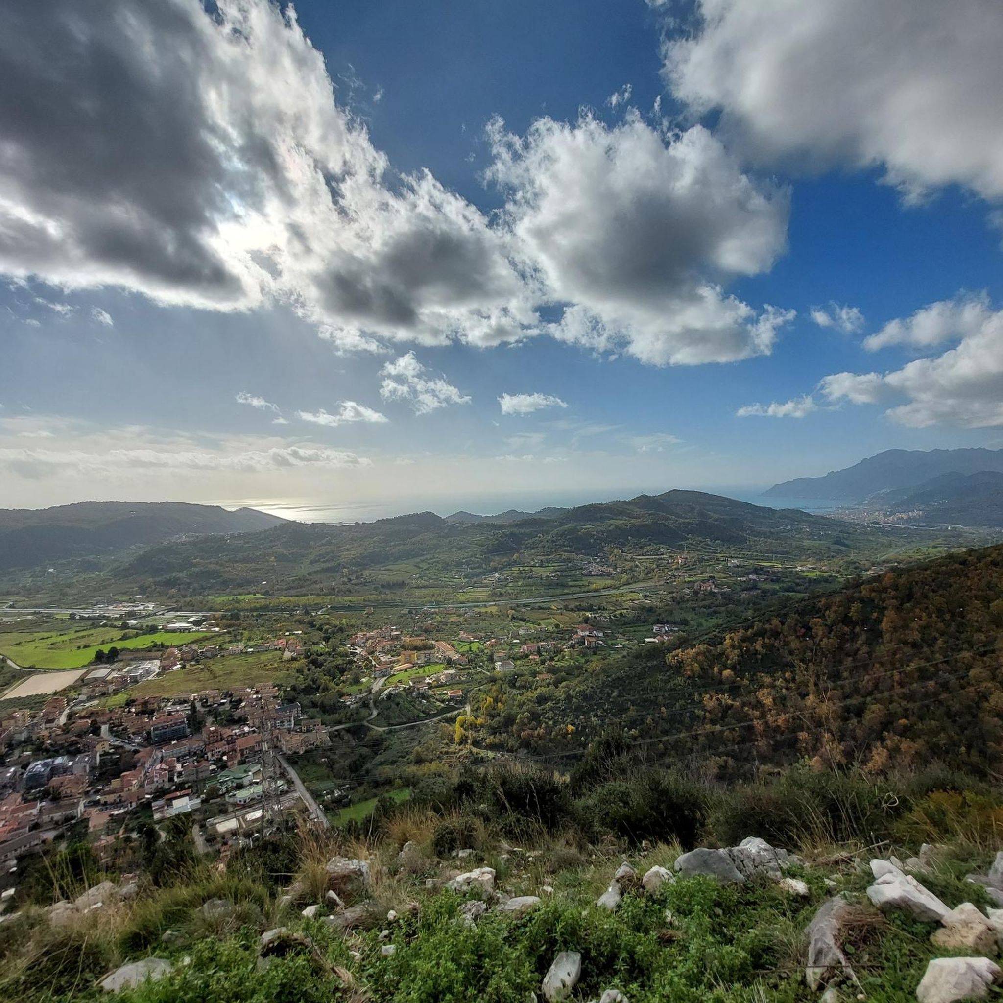
The Forcella della Cava, at 822 m above sea level, can be reached by following the Sentiero Italia S12S. Very beautiful views. To reach it it is necessary to have hiking experience as well as adequate clothing and footwear.
3
0
Intersection point of various paths.
4
0
Location Forcella della Cava (852 m).
20
0

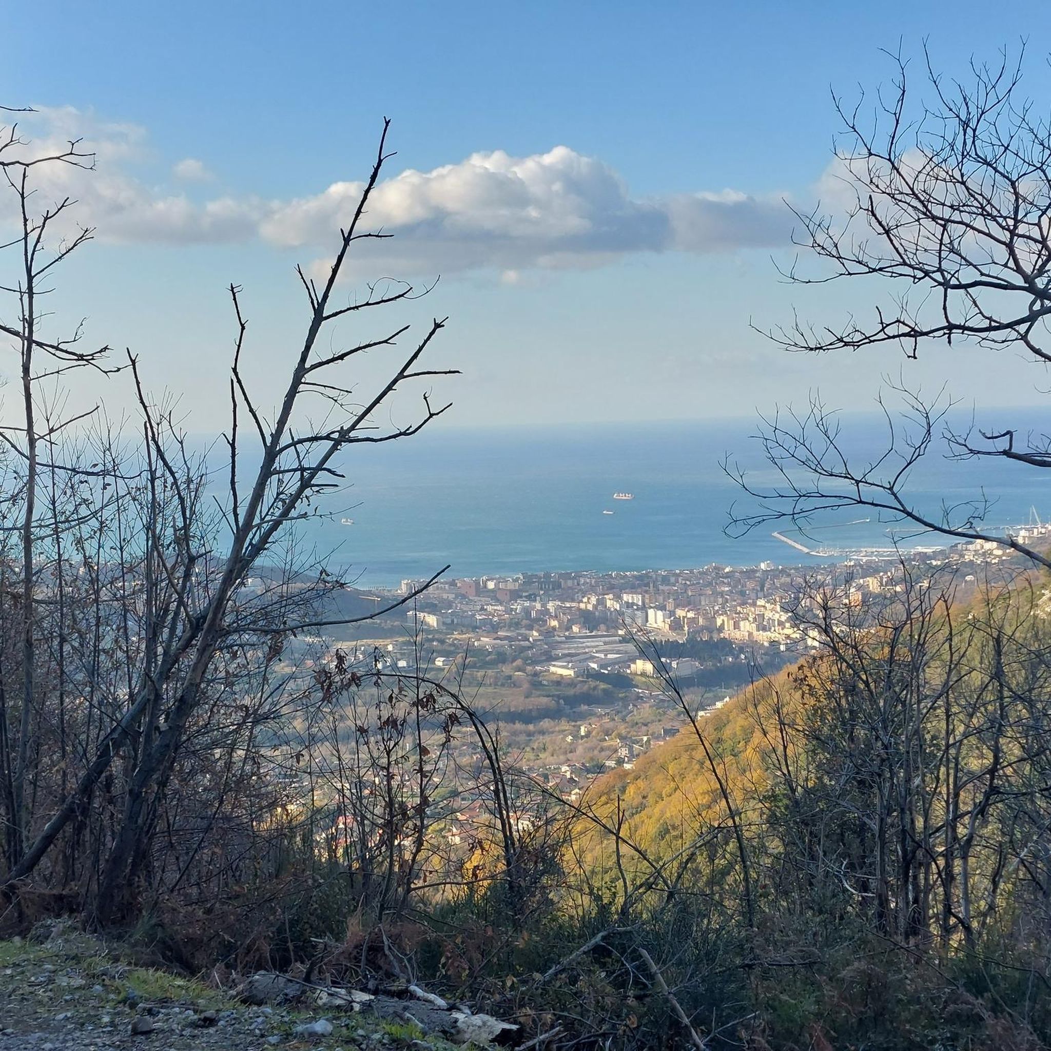
Road that connects Serino to Mount Terminio. Tiring but exciting route and you can enjoy a breathtaking view.
3
0
Frequently Asked Questions
What are some notable mountain passes to explore near Castiglione Del Genovesi?
The region offers several distinctive mountain passes. You can explore Varco della Teglia, an intermediate pass and viewpoint at 1,460 meters, known as an intersection point for various paths. Another option is the Serino–Monte Terminio Provincial Road, which is also a cycle way offering breathtaking views. For a more challenging experience, consider Forcella della Cava, a viewpoint at 822 meters accessible via the Sentiero Italia S12S.
Are there challenging mountain passes for experienced hikers?
Yes, several mountain passes in the area are considered challenging. Varco della Teglia and Forcella della Cava are both categorized as challenging and require hiking experience, adequate clothing, and sturdy footwear. Varco della Collavricia also presents a challenging trail, though parts of its connecting paths may be overgrown.
What kind of views can I expect from the mountain passes?
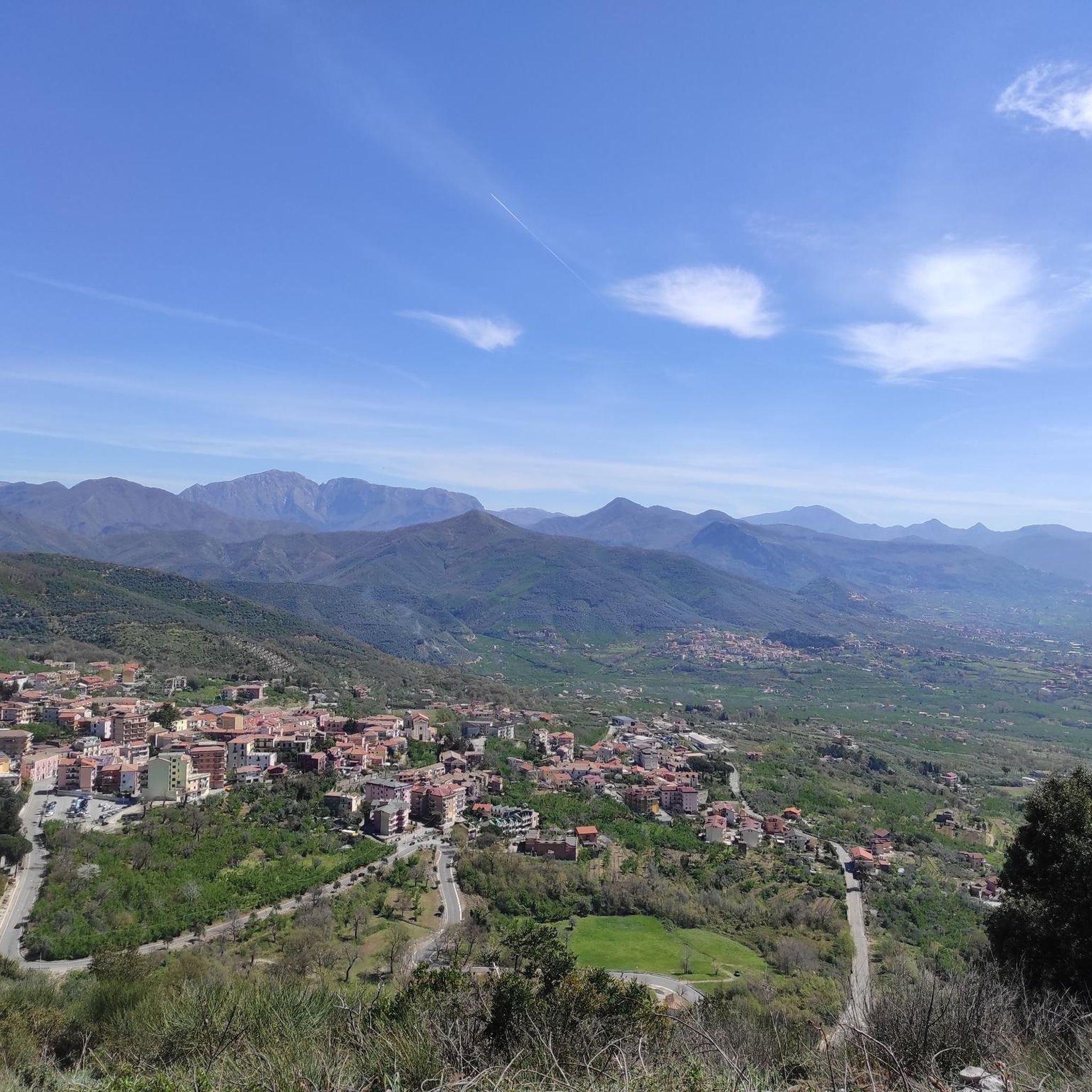
Many mountain passes in the Monti Picentini Regional Park offer panoramic views. From Varco della Teglia, you can overlook the Vallone della Tornola and see peaks like Pizzo San Michele and Monte Mai. The Serino–Monte Terminio Provincial Road is noted for its breathtaking scenery, and Forcella della Cava also provides very beautiful vistas.
Are there mountain passes suitable for cycling?
Yes, the Serino–Monte Terminio Provincial Road is a designated cycle way. It offers a tiring but exciting route with slopes varying from 2% to 8%, allowing cyclists to enjoy the mountainous landscape.
What outdoor activities can I do near these mountain passes?
Beyond exploring the passes themselves, the Monti Picentini Regional Park offers a wealth of outdoor activities. You can find numerous running trails, including challenging loops around Pizzo San Michele. There are also extensive road cycling routes, such as those leading to the Santa Teresa Beach or the Gulf of Salerno. For mountain biking enthusiasts, trails like the Frassineto Nature Area loop provide diverse terrain. You can find more details on these activities in the Running Trails, Road Cycling Routes, and MTB Trails guides for the area.
What is the best time to visit the mountain passes in Monti Picentini Regional Park?
Generally, the best times to visit mountainous regions like Monti Picentini are during the spring (April to June) and autumn (September to October). During these seasons, the weather is typically milder, and the natural scenery is vibrant with wildflowers or autumn foliage. Summer can be hot, and winter may bring snow to higher elevations, making some passes challenging or inaccessible.
What should I wear or bring when exploring the mountain passes?
For challenging passes like Forcella della Cava and Varco della Teglia, it is recommended to have hiking experience, adequate clothing, and sturdy shoes. Mountaineering experience might be beneficial for some routes. Always check weather conditions and bring sufficient water, snacks, and navigation tools.
Are there any specific natural landmarks or peaks near the mountain passes?
Yes, Castiglione Del Genovesi is situated below Monte Monna, which is part of the Monti Picentini Regional Park. Other significant peaks in the area include Monte Stella, which features a small church at its summit and offers extensive views. The Frassineto Nature Oasis is also nearby, providing hiking loops through forests and along streams.
What do visitors enjoy most about the mountain passes around Castiglione Del Genovesi?
Visitors frequently appreciate the breathtaking views and the challenging yet rewarding routes. The passes serve as excellent viewpoints and offer a sense of accomplishment for those seeking adventure. The komoot community has contributed over 200 photos and 14 upvotes, highlighting the scenic beauty and engaging nature of these routes.
Are there any historical or cultural sites near the mountain passes?
While the immediate vicinity of the passes is primarily natural, the broader Monti Picentini Regional Park and the Province of Salerno have a rich history. For example, Monte Stella features a small church dedicated to the Madonna Queen at its summit. For more general information about Castiglione Del Genovesi, you can refer to Wikipedia.
Are there any trails that connect different mountain passes?
Yes, some passes serve as intersection points for various paths. Varco della Teglia is an intersection point for paths 116 and 116A, located on the Alta Via dei Monti Picentini. Similarly, Varco della Collavricia is an intersection for CAI paths 176 and 176A, with the latter forming a ring circuit.
Can I find information about trail conditions for the mountain passes?
It's always advisable to check current trail conditions before heading out. For instance, a tip for Varco della Collavricia mentions that a path to "San Michele di Mezzo" was completely blocked by vegetation, indicating that conditions can change. Local information or recent trip reports from other hikers can be very helpful.
Most popular routes around Castiglione Del Genovesi
Most popular attractions around Castiglione Del Genovesi

Get inspired with the komoot mobile app


Explore more
See even more epic mountain passes by checking out these guides around Castiglione Del Genovesi:
