The best walks and hikes around Langenprozeltener Forst
4.6
(3916)
13,675
hikers
873
hikes
Hiking around Langenprozeltener Forst offers diverse landscapes within the Spessart Nature Park. The region features extensive deciduous and mixed forests, providing shaded trails and varied terrain. Hikers encounter a mix of deep valleys, gentle hillsides, and higher elevations, including the upper basin of the Langenprozelten pumped-storage power plant, which offers expansive views across the Spessart and into the Rhön region. Water features like the Sindersbach stream and its associated lake also contribute to the scenic environment.
Best hiking trails in…
Last updated: October 17, 2026
4.8
(5)
24
hikers
Moderate hike. Good fitness required. Easily-accessible paths. Suitable for all skill levels.
4.0
(8)
18
hikers
Easy hike. Great for any fitness level. Easily-accessible paths. Suitable for all skill levels.

5.0
(3)
14
hikers
Moderate hike. Good fitness required. Easily-accessible paths. Suitable for all skill levels.
4.5
(2)
14
hikers
7.40km
02:05
150m
150m
Moderate hike. Good fitness required. Easily-accessible paths. Suitable for all skill levels.
5.0
(3)
11
hikers
5.95km
01:39
110m
110m
Easy hike. Great for any fitness level. Easily-accessible paths. Suitable for all skill levels.
Get access to more routes and recommendations from other explorers.
Already have an account?
Our route recommendations are based on thousands of hikes, rides, and runs completed by other people on komoot.
Start today with a free account
Your next adventure awaits.

Tips from the Community

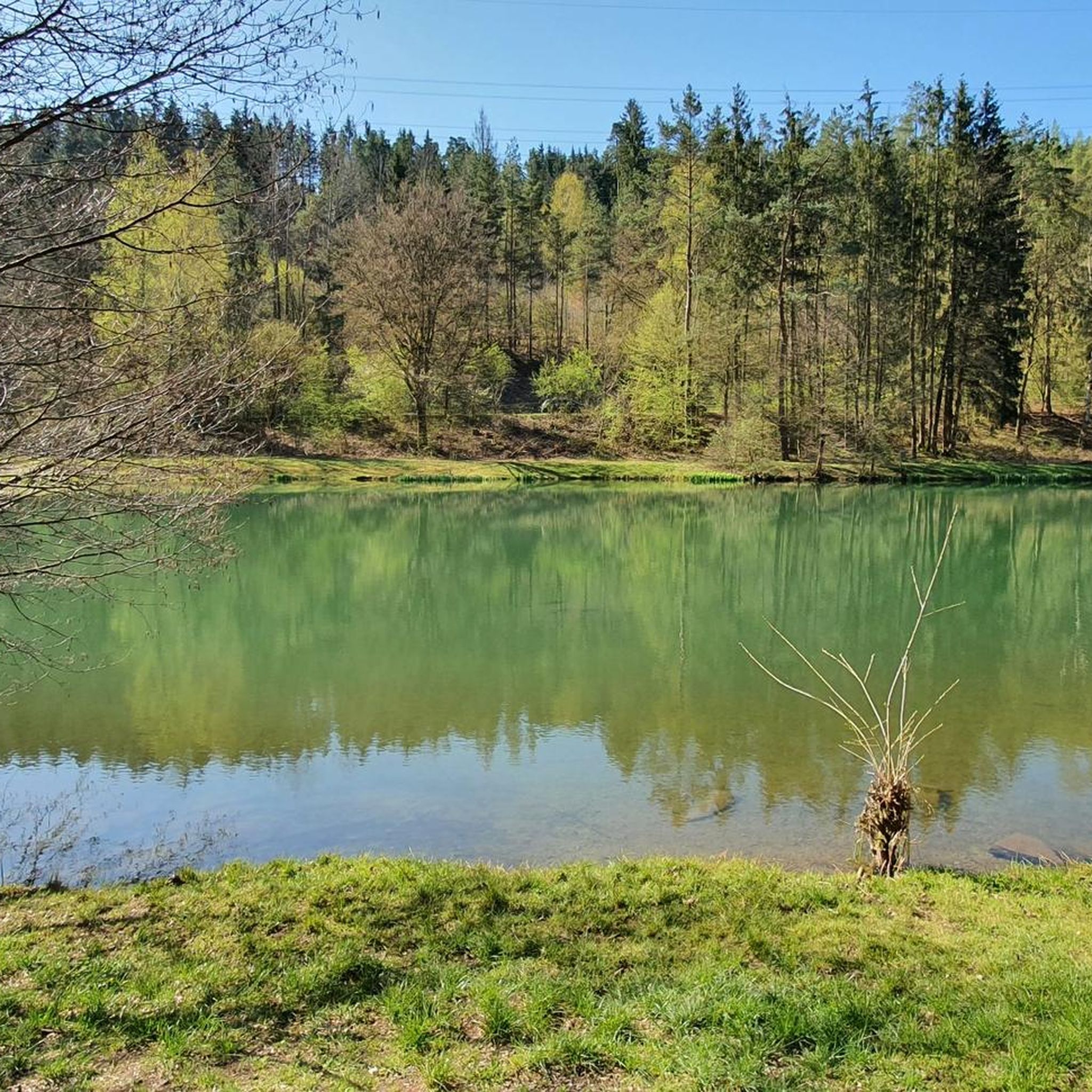
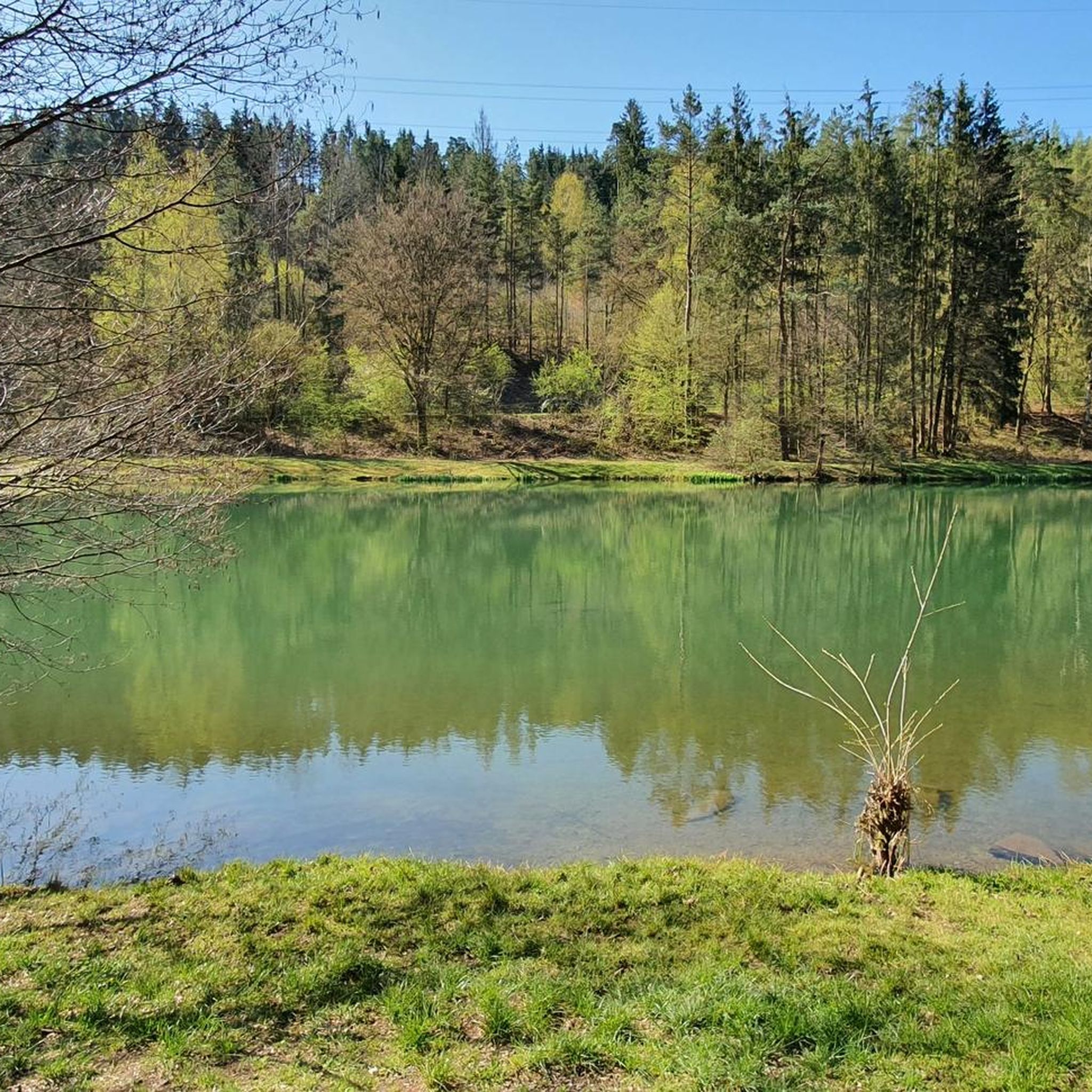
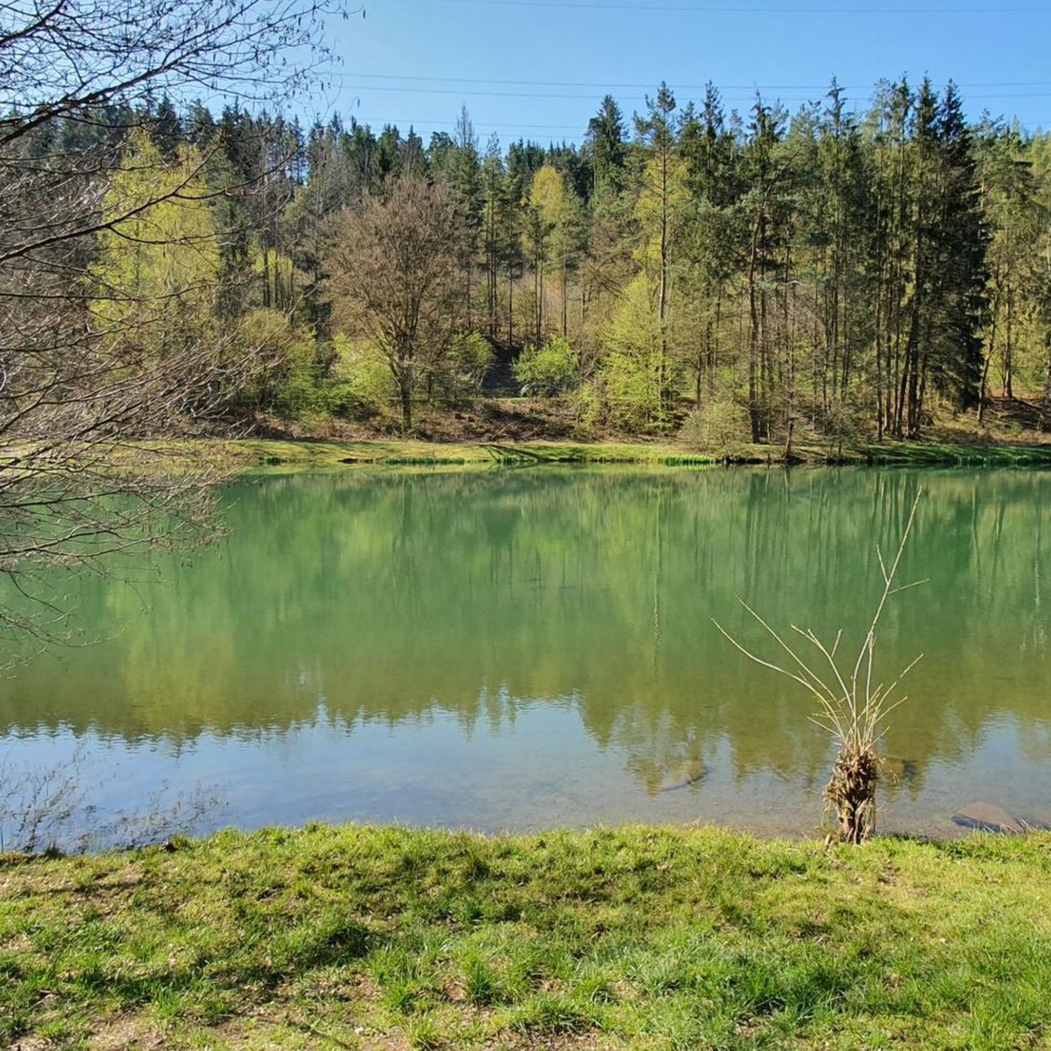
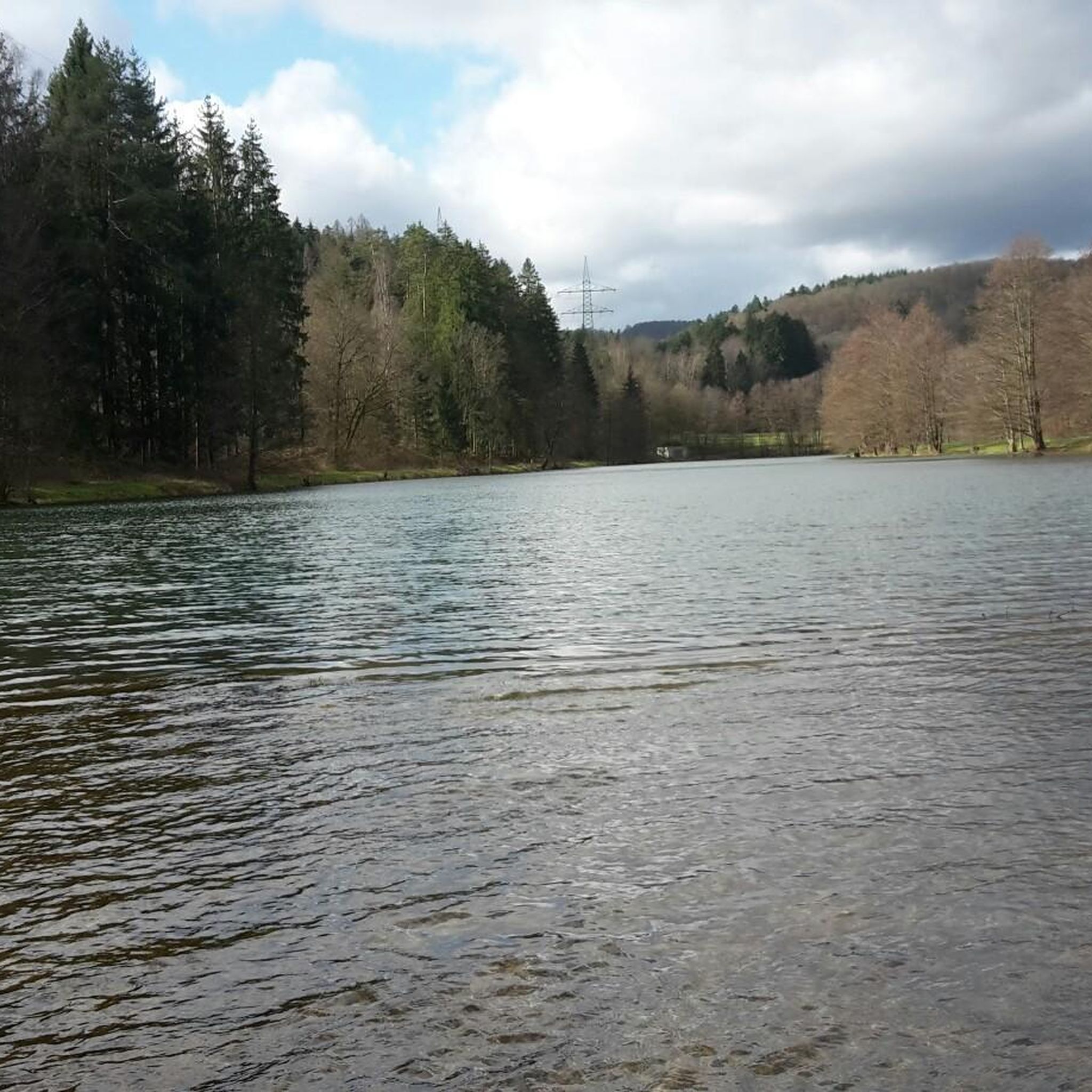
The Langenprozelten pumped-storage power plant, located between the eponymous town and Partenstein in the district of Main-Spessart in Lower Franconia (Bavaria), was commissioned in 1976. It only supplies railway power and is an important peak load power plant in the railway power grid. The owner is Donau-Wasserkraft AG. The hydropower plant has a turbine output of 164 MW and a pumping capacity of 154 megawatts with its two Francis pump-turbines. The upper reservoir is located about 300 meters above the lower reservoir and is connected to it by a 1.3 km long pressure tunnel with a diameter of almost four meters. The maximum head is 320 m. The upper reservoir has a capacity of approx. 1.5 million m³. The maximum energy storage capacity is 950 MWh. The body of water stored in the lower reservoir is the Sindersbach, which usually carries no water in the summer, so water is pumped up from another retention basin located 1.2 km below the lower reservoir when needed. Source: Wikipedia
1
0
The Langenprozelten pumped-storage power station, located between the town of the same name and Partenstein in the Main-Spessart district of Lower Franconia (Bavaria), was commissioned in 1976. It only supplies railway power and is an important peak load power station in the railway power grid. The owner is Donau-Wasserkraft AG. The hydropower plant, with its two Francis pump-turbines, has a turbine output of 164 MW and a pumping capacity of 154 megawatts. The upper reservoir is located about 300 meters above the lower reservoir and is connected to it by a 1.3 km long pressure tunnel with a diameter of almost four meters. The maximum head is 320 m. The upper reservoir has a capacity of approx. 1.5 million m³. The maximum energy storage capacity is 950 MWh. The body of water stored in the lower reservoir is the Sindersbach, which usually carries no water in the summer, which is why water is pumped up from another retention basin located 1.2 km below the lower reservoir when needed. Source: Wikipedia
1
0
Das Pumpspeicherkraftwerk Langenprozelten zwischen dem namensgebenden Ort und Partenstein im unterfränkischen Landkreis Main-Spessart (Bayern) wurde 1976 in Betrieb genommen. Es liefert nur Bahnstrom und ist ein wichtiges Spitzenlastkraftwerk im Bahnstromnetz. Eigentümer ist die Donau-Wasserkraft AG. Das Wasserkraftwerk hat mit seinen zwei Francis-Pumpturbinen eine Turbinenleistung von 164 MW und eine Pumpleistung von 154 Megawatt. Das Oberbecken liegt etwa 300 Höhenmeter oberhalb des Unterbeckens und ist mit diesem durch einen 1,3 km langen Druckstollen von nahezu vier Meter Durchmesser verbunden. Die maximale Fallhöhe ist 320 m. Das Oberbecken hat ein Fassungsvermögen von ca. 1,5 Mio. m³. Das maximale Energiespeichervermögen beträgt 950 MWh. Das im Unterbecken gestaute Gewässer ist der Sindersbach, der im Sommer meistens kein Wasser führt, deshalb wird bei Bedarf aus einem weiteren Rückhaltebecken, das 1,2 km unterhalb des Unterbeckens liegt, Wasser hochgepumpt. Quelle: Wikipedia
1
0
The Langenprozelten pumped-storage power station, located between the eponymous town and Partenstein in the district of Main-Spessart in Lower Franconia (Bavaria), was commissioned in 1976. It only supplies traction power and is an important peak load power station in the traction power network. The owner is Donau-Wasserkraft AG. The hydropower plant has a turbine output of 164 MW and a pumping output of 154 megawatts with its two Francis pump-turbines. The upper reservoir is located about 300 meters above the lower reservoir and is connected to it by a 1.3 km long pressure tunnel with a diameter of almost four meters. The maximum head is 320 m. The upper reservoir has a capacity of approx. 1.5 million m³. The maximum energy storage capacity is 950 MWh. The water stored in the lower reservoir is the Sindersbach, which is usually dry in the summer, so water is pumped from another retention basin, located 1.2 km below the lower reservoir, when needed. Source: Wikipedia
1
0
The Langenprozelten pumped-storage hydroelectric power plant, located between the town of the same name and Partenstein in the Main-Spessart district of Lower Franconia (Bavaria), was commissioned in 1976[2]. It supplies only railway power and is an important peak load power plant in the railway power grid. The owner is Donau-Wasserkraft AG. The hydroelectric power plant has a turbine capacity of 164 MW and a pumping capacity of 154 megawatts with its two Francis pump-turbines. The upper reservoir is located about 300 meters above the lower reservoir and is connected to it by a 1.3 km long pressure tunnel with a diameter of almost four meters. The maximum head is 320 m. The upper reservoir has a capacity of approx. 1.5 million m³. The maximum energy storage capacity is 950 MWh. The body of water stored in the lower reservoir is the Sindersbach stream, which is usually dry in the summer, so water is pumped up from another retention basin located 1.2 km below the lower reservoir when needed. Source: Wikipedia
1
0
The Langenprozelten pumped-storage hydroelectric power plant, located between the eponymous town and Partenstein in the Main-Spessart district (Bavaria), Lower Franconia, was commissioned in 1976. It only supplies railway power and is an important peak load power plant in the railway power network. The owner is Donau-Wasserkraft AG. The hydroelectric power plant has a turbine output of 164 MW and a pumping output of 154 megawatts with its two Francis pump-turbines. The upper reservoir is located about 300 meters above the lower reservoir and is connected to it by a 1.3 km long pressure tunnel with a diameter of almost four meters. The maximum head is 320 m. The upper reservoir has a capacity of approx. 1.5 million m³. The maximum energy storage capacity is 950 MWh. The body of water stored in the lower reservoir is the Sindersbach, which usually carries no water in the summer, so water is pumped up from another retention basin, located 1.2 km below the lower reservoir, when needed. Source: Wikipedia
1
0

You have a view all the way to the Rhön.
0
0
Frequently Asked Questions
How many hiking trails are available in Langenprozeltener Forst?
Langenprozeltener Forst offers a wide network of over 850 hiking trails. These routes cater to various fitness levels, ranging from easy walks to more demanding excursions through the diverse landscapes of the Spessart Nature Park.
What kind of terrain can I expect on hikes in Langenprozeltener Forst?
You can expect a varied topography, including extensive deciduous and mixed forests, deep valleys, and gentle hillsides. The trails often lead through unspoiled nature, providing shaded paths and a mix of surfaces suitable for different hiking experiences.
Are there easy hiking trails suitable for beginners or families in Langenprozeltener Forst?
Yes, Langenprozeltener Forst has over 370 easy hiking routes, making it suitable for beginners and families. An example is the Green water tank on Waldstraße loop from Langenprozeltener Forst, which is an easy 3.7 miles (6.0 km) trail through forests and gentle hillsides.
Are there any scenic viewpoints in Langenprozeltener Forst?
Absolutely. A standout feature is the upper basin of the Langenprozelten pumped-storage power plant on the Sohlhöhe. This elevated point offers magnificent, expansive views across the Spessart and even into the Rhön region. Some trails also provide views of Lohr am Main and the Main Valley.
What natural features can I expect to see while hiking in Langenprozeltener Forst?
The region is rich in natural beauty, characterized by its extensive forests. You'll also encounter water elements such as the Sindersbach stream and its associated lake, along with the lower basin of the pumped-storage power plant, adding to the scenic diversity.
What do other hikers enjoy the most about hiking in Langenprozeltener Forst?
The area is highly rated by the komoot community, with an average score of 4.6 stars from over 2,900 reviews. Hikers often praise the quiet woodlands, the varied terrain, and the rewarding views from elevated points like the pumped-storage power plant.
Are there any interesting landmarks or attractions along the hiking trails?
Yes, trails can lead past points of interest such as the 'Katharinenbild Crossroads and Shelter,' offering a spot for respite. You might also encounter the 50th Parallel North Monument – Lohr am Main or explore the historic Old Town of Lohr am Main, often referred to as the 'Gateway to the Spessart'.
What is the best time of year to hike in Langenprozeltener Forst?
Langenprozeltener Forst offers appealing hiking experiences throughout the year. Spring brings fresh greenery, while summer provides shaded trails in the dense forests. Autumn is particularly vibrant with a spectacular display of colors, making it a popular time for scenic walks. Winter hiking is also possible, though conditions may vary.
Are there any circular hiking routes in Langenprozeltener Forst?
Yes, many of the trails in Langenprozeltener Forst are designed as circular routes, allowing you to start and end at the same point. An example is the Hiking loop from Langenprozeltener Forst, a moderate 4.6 miles (7.4 km) path through varied forest terrain.
Is Langenprozeltener Forst suitable for dog-friendly hikes?
Langenprozeltener Forst, being part of the Spessart Nature Park, generally welcomes dogs on its trails. It's always recommended to keep your dog on a leash, especially in areas with wildlife or near other hikers, to ensure a pleasant experience for everyone.
Are there options for more challenging hikes in the area?
While many trails are moderate or easy, Langenprozeltener Forst does offer more demanding routes for experienced hikers, with significant ascents and longer distances. There are nearly 90 difficult routes available for those seeking a greater challenge.
Where can I find parking for hiking in Langenprozeltener Forst?
Parking is often available near popular trailheads, such as around the pumped-storage power plant or at various entry points to the forest. Specific parking information can usually be found on individual route descriptions on komoot.
Can I access Langenprozeltener Forst by public transport?
Langenprozeltener Forst is situated near Lohr am Main, which has train connections. From Lohr am Main, local buses or a short taxi ride might be necessary to reach specific trailheads within the forest. It's advisable to check local bus schedules for routes connecting to the forest's entry points.
Most popular routes around Langenprozeltener Forst
Most popular attractions around Langenprozeltener Forst

Get inspired with the komoot mobile app


Explore more
Browse the best Hikes in other regions.
