Top 8 Mountain Passes around Pennapiedimonte
Best mountain passes around Pennapiedimonte are found within the Majella Massif, a part of the Majella National Park in Abruzzo, central Italy. This area features rugged terrain and diverse landscapes, offering high-altitude hiking experiences and panoramic viewpoints. The village of Pennapiedimonte, known for its houses carved into rock, serves as a gateway to these mountainous routes. The region provides opportunities to explore the natural environment of the Apennine mountains.
Best mountain passes around Pennapiedimonte
- The most popular mountain passes is…
Last updated: June 28, 2026
Passo San Leonardo
Highlight • Mountain Pass
Translated by Google •
Tip by

Passo Lanciano
Highlight • Mountain Pass
Translated by Google •
Tip by
Sign up now to discover places like this
Get recommendations on the best single tracks, peaks, & plenty of other exciting outdoor places.
Sign up for free
Saddle of Monte Acquaviva
Highlight • Mountain Pass
Translated by Google •
Tip by

Scenic Road to Passo Lanciano in Majella National Park
Highlight • Cycleway
Translated by Google •
Tip by

Passo San Leonardo Ascent from Sant'Eufemia
Highlight • Mountain Pass
Translated by Google •
Tip by

Sign up for free to discover even more mountain passes around Pennapiedimonte.
Sign up for free
Already have an account?
Start today with a free account
Your next adventure awaits.
Login or Signup
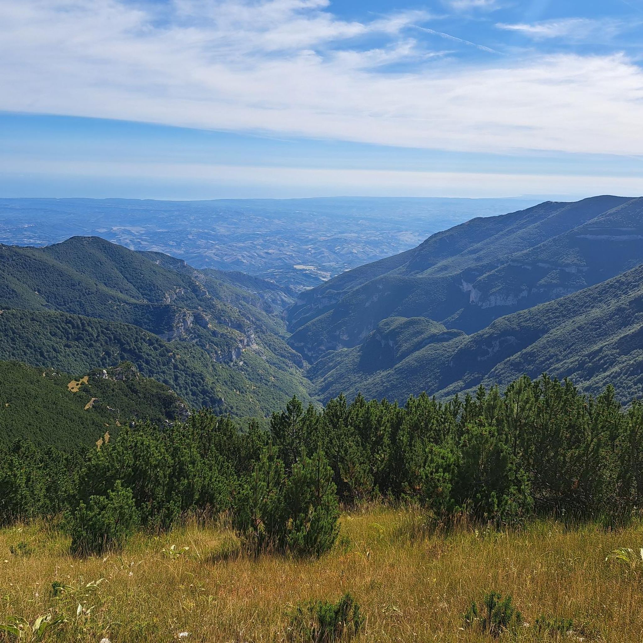
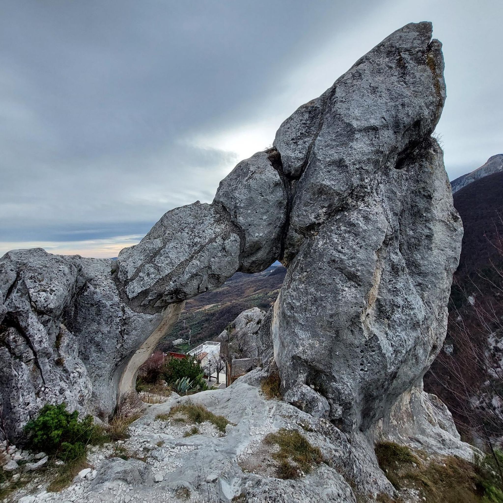
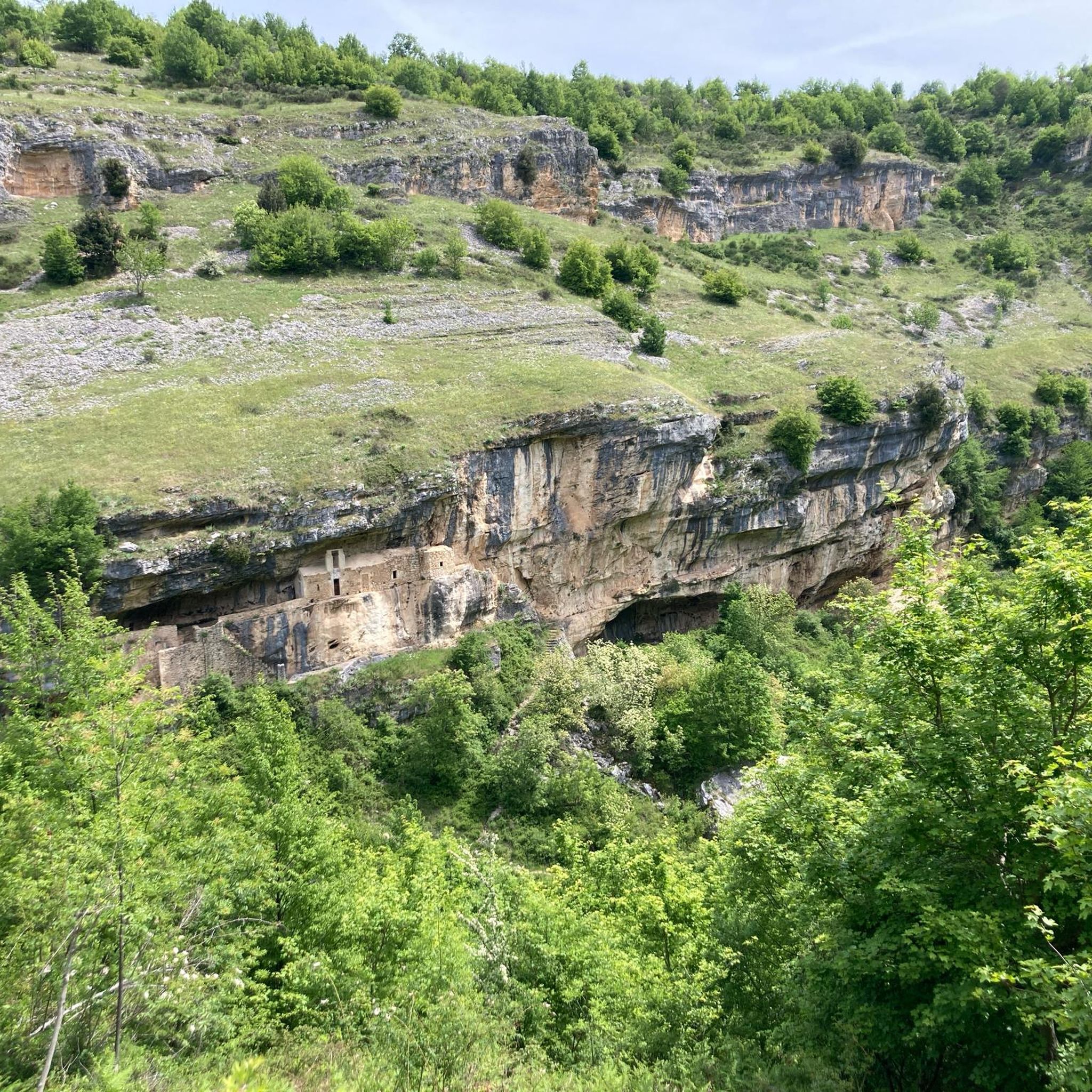
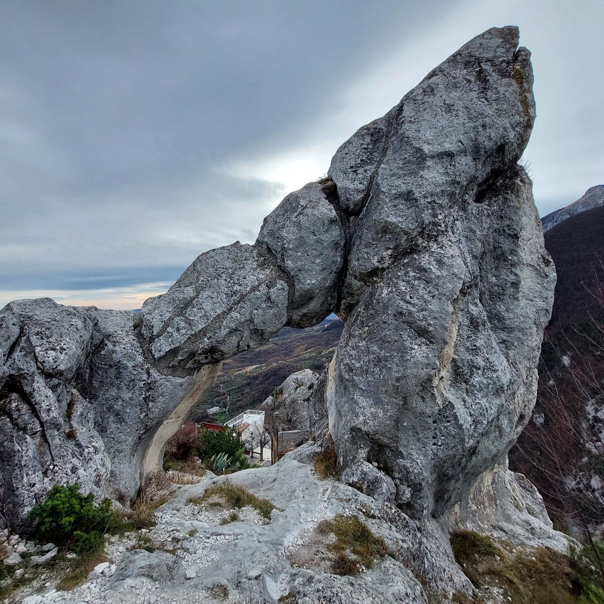
Tips from the Community

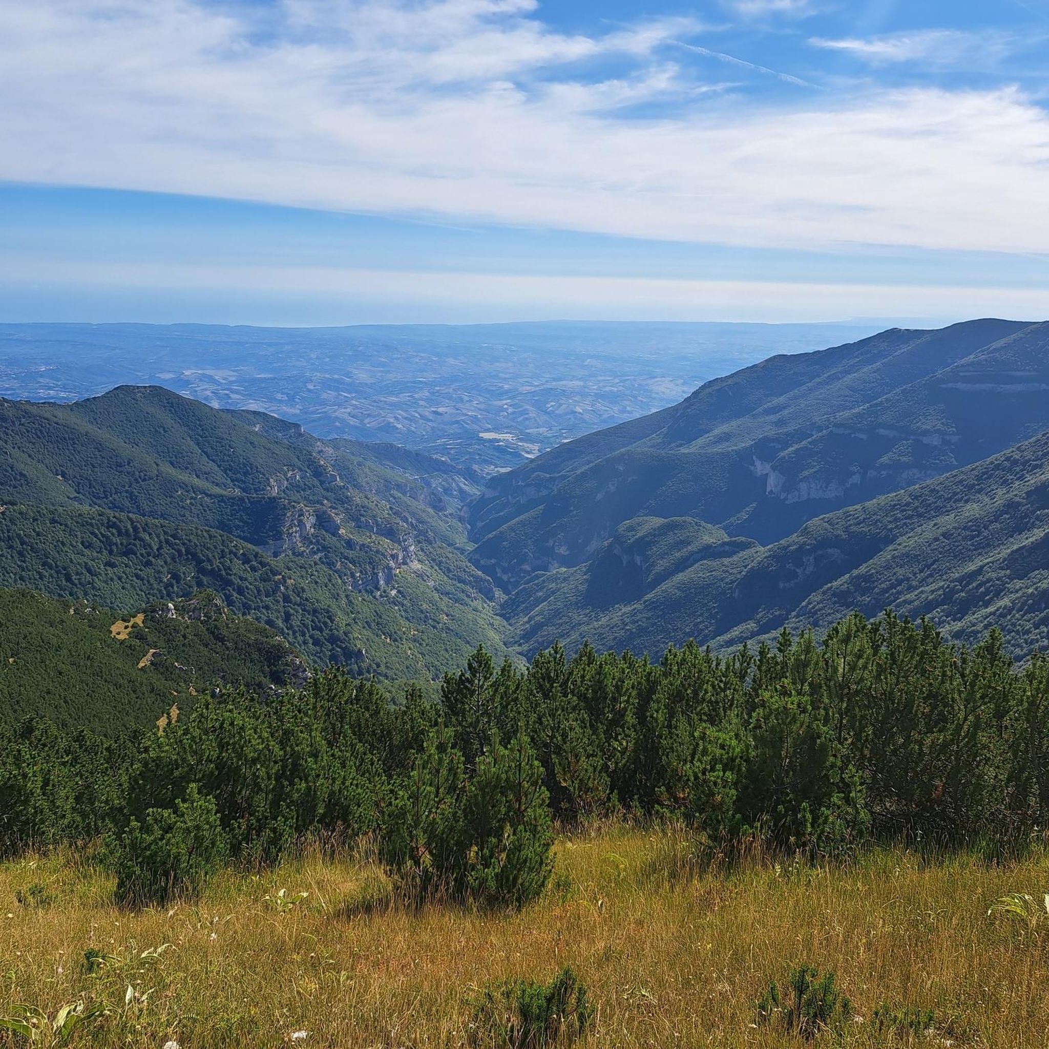
The inhabitants of Abruzzo and the neighboring region of Lazio have their own local observation related to this Passo Lanciano. When the sun sets in the spring behind the mighty Majella massif, it quickly gets dark on the Abruzzo side (i.e., where Passo Lanciano is located) and dusk falls, while on the other side of the mountains, in Lazio, it is still bright daylight. Locals joke that at the same moment, one half of Italy goes to sleep, and the other goes for an aperitivo.
0
0

Between Mounts Blockhaus and Acquaviva, this ridge allows you to walk well above 2,000 meters and observe the splendid natural beauty of the Majella. Within the Majella National Park, Acquaviva is the second highest peak after Monte Amaro.
2
0

Good destination to replenish your water supply
3
0

Passo San Leonardo is one of the most important passes in Abruzzo, not only for racing bikes but also for MTBs.
2
0

The San Leonardo pass, at an altitude of 1,282 metres, connects Pacentro to Sant'Eufemia a Majella. The pass offers wonderful views of the Majella and Mount Morrone. The San Leonardo pass is an excellent base for excursions, among which the so-called direct route that leads to the summit of Monte Amaro stands out. The Orta river flows from the San Leonardo pass.
1
0

The second page of the San Leonardo Pass: Road to Caramanico Terme- San Leonardo- Campo di Giove- Pacentro- San Leonardo- Caramanico Terme. Tourvideo June 2023: https://youtu.be/tBpWiGuon8Q
1
0
Passo Lanciano connects the two Abruzzo villages of Pretoro and Lettomanoppello. It is a place much loved by the locals, both in the summer and in the winter months: in fact, various hiking trails start from here and there are ski slopes. There is no shortage of restaurants where you can eat the typical arrosticini.
0
0

Passo di San Leonardo is an enchanting place suspended between Monte Morrone and Majella, where the beauty of nature reigns supreme. The colors that can be admired in autumn here are truly unique. It's one of the best seasons to visit (although it's a show all year round). The vivid colors of the leaves, together with the deep red of the sunset, create a rare and wonderful sight.
1
0
Frequently Asked Questions
Which mountain passes offer the most spectacular views around Pennapiedimonte?
For breathtaking panoramas, consider visiting the Saddle of Monte Acquaviva, which provides views of the Majella within the Majella National Park. Another excellent spot is Passo San Leonardo, offering wonderful views of the Majella and Mount Morrone. The Scenic Road to Passo Lanciano also boasts beautiful vistas on the way to or from the Blockhaus mountain.
What kind of outdoor activities can I do near the mountain passes around Pennapiedimonte?
The area around Pennapiedimonte is ideal for a variety of outdoor activities. You can find numerous running trails, such as the challenging "Path of Peace - Stage 11 Mountain Variant" or the "Piana delle Mele - Valle delle Monache Loop." For cyclists, there are demanding road cycling routes like "Blockhaus da Bocca di Valle via Passo Lanciano" and touring bicycle options like "Cima Blockhaus from Cima Mammarosa." You can explore more routes on the respective guide pages: Running Trails around Pennapiedimonte, Road Cycling Routes around Pennapiedimonte, and Cycling around Pennapiedimonte.
Are there challenging climbs for experienced hikers or cyclists?
Absolutely. The region is known for its challenging terrain. For hikers, reaching the summit of Focalone Mountain (2,676 meters) offers a true high-mountain pass experience. Cyclists will find the Climb to Passo Lanciano particularly demanding, with double-digit gradient peaks leading to 1,310 meters above sea level. The "View of Majella Mountain – Majelletta Picnic Area Loop" is also a demanding 17.5-kilometer hike with significant elevation gain.
What is the best time of year to visit the mountain passes around Pennapiedimonte?
The best time to visit for hiking and cycling is generally from late spring to early autumn (May to October) when the weather is milder and the trails are more accessible. During these months, you can fully enjoy the extensive views and diverse flora. Winter can offer unique experiences for those prepared for snow and colder conditions, but many high-altitude routes may be challenging or impassable.
What natural features can I expect to see in the Majella National Park?
The Majella National Park, a UNESCO World Geopark, is rich in natural beauty. You'll encounter untouched wilderness, diverse flora and fauna, and unique geological formations. The trails often lead through rugged terrain, past features like the Avella river and the picturesque Macarone della Pila waterfall. From various viewpoints, you can see across valleys to cities like Chieti, Ortona, Lanciano, and Vasto, and on clear days, even the Tremiti Islands and the Croatian coast.
Are there any cultural or historical sites near the mountain passes?
While the focus is on natural passes, the village of Pennapiedimonte itself offers a unique cultural experience. Known for its houses carved into the rock, it showcases ancient stonemasonry and traditional architecture. Exploring the village before or after your outdoor adventure adds a significant cultural dimension to your visit to the Majella National Park.
What do visitors enjoy most about the mountain passes around Pennapiedimonte?
Visitors frequently praise the spectacular panoramas and the immersive nature experience within the Majella National Park. The challenging hikes and rewarding trekking experiences are also highly valued. The area's highlights, such as the Saddle of Monte Acquaviva and Passo San Leonardo, are appreciated for their stunning views and the opportunity to walk well above 2,000 meters.
Are there any easy mountain passes or trails suitable for beginners?
While many routes in the Majella National Park are challenging, there are options for varying fitness levels. The region offers a variety of trails, and while specific 'easy' passes are not highlighted, some sections or shorter loops might be more accessible. It's always recommended to check the difficulty grade of specific routes before embarking, as many of the prominent passes involve significant elevation changes.
Can I visit the mountain passes around Pennapiedimonte in winter?
Visiting in winter is possible, but it requires specific preparation and experience. High-altitude areas like Focalone Mountain and the routes around the Saddle of Monte Acquaviva can be covered in snow and ice, making them challenging and potentially dangerous without proper gear and knowledge of winter mountaineering. Always check weather conditions and trail status before attempting winter excursions.
Are there circular hiking routes available near the mountain passes?
Yes, there are several circular routes that allow you to experience the diverse landscapes. For instance, the "View of Majella Mountain – Majelletta Picnic Area Loop" is a demanding 17.5-kilometer circular trail. Other nearby running and cycling guides also feature loop routes, such as the "Piana delle Mele - Valle delle Monache Loop" for running, offering varied distances and difficulty levels.
What is the altitude of the main mountain passes in the area?
The mountain passes around Pennapiedimonte vary in altitude. For example, Passo San Leonardo is situated at 1,282 meters, while the Climb to Passo Lanciano reaches 1,310 meters above sea level. The Saddle of Monte Acquaviva allows passage well above 2,000 meters, with Focalone Mountain, the highest point in Pennapiedimonte territory, reaching 2,676 meters.
How long do typical hikes around Pennapiedimonte's mountain passes take?
Hike durations vary significantly based on the route and your pace. Shorter loops like the "Piana delle Mele - Valle delle Monache Loop" for running are about 4.5 km. More demanding treks, such as the "View of Majella Mountain – Majelletta Picnic Area Loop," cover 17.5 km and require good physical fitness, often taking several hours. Longer routes like the "Path of Peace - Stage 11 Mountain Variant" are over 11 km and can be full-day excursions.
Most popular routes around Pennapiedimonte
Most popular attractions around Pennapiedimonte

Get inspired with the komoot mobile app


Explore more
See even more epic mountain passes by checking out these guides around Pennapiedimonte:
