Top 5 Natural Monuments around Laino Borgo
Best natural monuments around Laino Borgo are situated within the Pollino National Park, a region known for its unspoiled natural landscapes. Laino Borgo serves as a gateway to this expansive park, offering access to diverse natural features. The area is defined by its pristine rivers, deep canyons, and mountainous terrain. These natural elements provide numerous opportunities for outdoor exploration.
Best natural monuments around Laino Borgo
- The most popular natural monument is Ascent to Piano Ruggio, a climb that features…
Last updated: August 21, 2026
Ascent to Piano Ruggio
Highlight (Segment) • Climb
Translated by Google •
Tip by

Pollino National Park
Highlight • Natural Monument
Translated by Google •
Tip by

Sign up now to discover places like this
Get recommendations on the best single tracks, peaks, & plenty of other exciting outdoor places.
Sign up for free
Monte Pizzo via Papasidero and Bivio Avena
Highlight • Trail
I'll be biased because it's managed by my buddy but after a good trek, …
Translated by Google •
Tip by

Mercure Spring
Highlight • River
Translated by Google •
Tip by

Monte Ciagola
Highlight (Segment) • Summit
Translated by Google •
Tip by

Start today with a free account
Your next adventure awaits.
Login or Signup
Other adventures around Laino Borgo

Tips from the Community

Lots of nature, meditation and clean air. Not to mention the little restaurant located upon arrival. I'll be biased because it's managed by my buddy but after a good trek, eating well, healthy and genuine at a 0 km restaurant is priceless. For the return, given the considerable inclination of the route and seen in my case a full belly, 😂 you can wait for the bus that takes you back to the town of Papasidero. And I forgot: from Bivio Avena you can visit the Romito cave.
1
0

It is the largest national park in Italy and is located between Calabria and Basilicata. The headquarters of the park is located in the municipality of Rotonda (PZ)
2
0

Monte Ciagola is 1463 meters high and is part of the Pollino National Park. From the top you can see Aieta and the Gulf of Policastro.
2
0

The source of the Mercure river is an idyllic place surrounded by greenery, ideal for a break and to quench your thirst with pure and clear water.
1
0

hello is it easy to reach from viggianello?
0
0

The Pollino National Park extends over 192,565.00 hectares of land and is located between two regions, Basilicata, also known as Lucania, and Calabria. It also ranges from the Tyrrhenian Sea to the Ionian Sea, from Cozzo del Pellegrino to Serra Dolcedorme, from the Piani di Campolongo, Novacco, and Lanzo, to the Piani del Pollino, from the Argentino and Abatemarco rivers, to the Lao and Raganello gorges, to the Peschiera streams. and Frido. The entire Pollino area is formed by the Pollino and Orsomarso massifs. The mountain range that is part of the southern Apennines on the border with Basilicata and Calabria boasts the highest peaks in Southern Italy which remain snow-capped for a long period that begins in November and ends in May with the melt of the first snow. The height of its peaks reaches an altitude of 2,200 meters above sea level. The natural area that enjoys great prestige is composed of dolomitic rocks, limestone bastions, fault walls of architectural origin, cliffs, very deep gorges, karst caves, gables of volcanic origin, sinkholes, plateaus, meadows, high-altitude pastures, moraine accumulations, glacial cirques and erratic boulders.
0
1
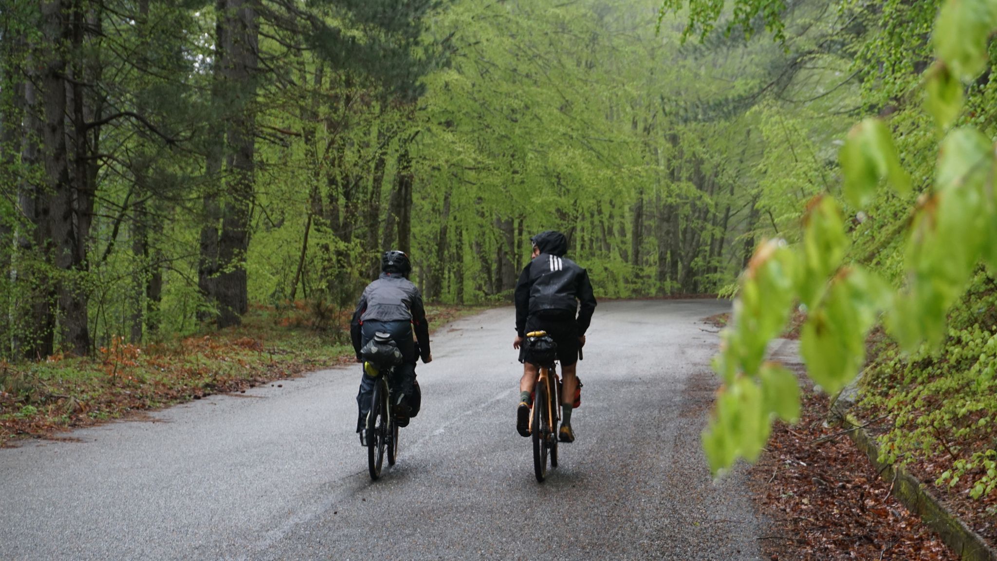
The ascent of Monte Impiso is very beautiful and also tough ... it is an 11km long climb. with an average gradient of almost 9% and sections with peaks of 15% - Monte Pollino from Colle dell'Impiso For the days spent in the Pollino National Park we have chosen Mezzana Salice, a hamlet of San Severino Lucano. It is an ideal accommodation, it is located in the heart of the protected area and is very close to the starting points of the excursions we have planned. It is from the village of Mezzana Salice that we go to Colle dell’Impiso (1578 m) to climb our first two thousand: Mount Pollino. Leaving the car, we take the slightly uphill dirt road, but it is only for a few meters. After a while, in fact, at the signs describing the itinerary, keep to the right on the path to Colle Gaudolino (be careful not to take the more right paths that go up towards the Serra del Prete). The times indicated by the signs will prove to be much longer than what is actually necessary for our progress and this will also apply to almost all the other itineraries in the Park. THE MOUNTAIN IS LOCATED IN THE POLLINO NATIONAL PARK ON THE BORDER BETWEEN BASILICATA AND CALABRIA. I was not very convinced of this itinerary, but when I reached the top, it was a surprise: the view is wonderful, ranging from the mountain ranges of the Lucanian Apennines to the Sila, from the Ionian tides to the Tyrrhenian. Too bad that the signage is completely missing. The Impiso Pass is marked by a white writing on a stone and there are never signs for Monte Pollino or Serra Dolcedorme which can be reached by following a good part of this itinerary.
0
0
Frequently Asked Questions
What are the most notable natural features to explore around Laino Borgo?
Laino Borgo, situated within the Pollino National Park, offers a variety of natural features. You can explore the dramatic Lao River and its Canyon, known for its depth and as a prime spot for rafting. The surrounding mountains like Gada, Rossino, and Timpone di Castrocucco provide breathtaking landscapes. The park itself features dolomitic rocks, deep gorges, karst caves, and high-altitude pastures.
Are there challenging hikes or climbs in the area?
Yes, for those seeking a challenge, the Ascent to Piano Ruggio is a popular choice. It features an 11 km long climb with an average gradient of almost 9% and sections reaching 15%. The summit offers extensive views, from the Lucanian Apennines to the Sila, and from the Ionian to the Tyrrhenian seas. Another trail, Monte Pizzo via Papasidero and Bivio Avena, also involves a considerable inclination.
What kind of outdoor activities can I do near Laino Borgo's natural monuments?
Beyond exploring the natural monuments themselves, the region is excellent for various outdoor activities. The Lao River is renowned for rafting and canoeing. For land-based activities, you can find numerous routes for road cycling, running, and mountain biking. For example, there are several road cycling routes, running trails, and MTB trails available in the wider Laino Borgo area.
Are there family-friendly natural monuments or activities suitable for children?
Absolutely. The Lao River offers rafting and canoeing experiences suitable for families with children as young as four. The trail along the Lao River Gorges is about 3 km with minimal elevation changes, making it an easy walk for families. Additionally, the Mercure Spring is described as an idyllic, family-friendly spot surrounded by greenery, perfect for a break. The Sacro Monte also offers relaxing walks through nature.
What is the best time of year to visit the natural monuments around Laino Borgo?
The Pollino National Park, where Laino Borgo is located, experiences snow-capped peaks from November to May. For hiking and outdoor activities, the warmer months are generally more suitable. The Lao River Gorges trail is well-shaded, making it enjoyable even on hotter days. Consider late spring to early autumn for the most comfortable conditions for exploring.
Can I spot wildlife in the natural monuments area?
Yes, the delicate habitat of the Lao River Valley Natural Reserve provides shelter for diverse flora and fauna, including rare species. While specific sightings are never guaranteed, the unspoiled nature of the Pollino National Park offers opportunities for observing local wildlife during your explorations.
Are there any cultural or historical sites integrated with the natural landscape?
Yes, the Sacro Monte of Laino Borgo, also known as the Shrine of the Madonna dello Spasimo, is a significant site set within a natural backdrop. It features 16 small chapels reproducing 'holy places' from Jerusalem, nestled amidst lush green landscapes. It offers a unique blend of spirituality and nature, with trails providing relaxing walks. You can find more information about the Sacro Monte trail here.
What do visitors enjoy most about the natural monuments around Laino Borgo?
Visitors particularly appreciate the immersive experience in nature and the clean air. Many enjoy the extensive views from summits like Ascent to Piano Ruggio, which offers panoramic vistas across the region. The opportunity to combine physical activity with serene natural beauty, such as at the Mercure Spring or along the Lao River, is also highly valued.
Are there easy walking trails suitable for a leisurely stroll?
Yes, for easier walks, the trail leading to the Lao River Gorges is a good option, being about 3 km long with minimal elevation changes. The trails around the Sacro Monte of Laino Borgo are also mostly under 10 km, providing accessible and pleasant walks through nature. The Mercure Spring is also noted as an idyllic spot for a break.
What is the <a href="https://www.komoot.com/highlight/3589199" target="_blank" rel="noopener">Pollino National Park</a> like, and how does Laino Borgo relate to it?
The Pollino National Park is Italy's largest national park, spanning over 192,565 hectares across Basilicata and Calabria. It features diverse landscapes including dolomitic rocks, deep gorges, karst caves, and high-altitude pastures, with peaks reaching 2,200 meters. Laino Borgo is considered the 'Gateway to the Pollino' National Park, offering direct access to its natural wonders and various trails.
Can I find circular hiking routes around Laino Borgo?
Yes, there are circular routes available. For instance, a circular route from Laino Borgo village to the Sacro Monte and then to the Iannello torrent offers a pleasant walk of just over 10 km, allowing you to experience both cultural and natural highlights.
Most popular attractions around Laino Borgo

Get inspired with the komoot mobile app


Explore more
Extend your search for the best caves by checking out these guides of the top ones around Laino Borgo:
