Top 20 Natural Monuments in Pyrénées Ariégeoises
Best natural monuments in Pyrénées Ariégeoises showcase a rich array of geological features and diverse landscapes within the French Pyrenees. This region, part of the Pyrénées Ariégeoises Regional Natural Park, extends up to 3,143 meters at its highest point, La Pique d'Estats. It encompasses unspoiled valleys, wooded hills, numerous lakes, and mountain passes. The area offers opportunities to explore unique natural formations and significant ecological sites.
Best natural monuments in Pyrénées Ariégeoises
- The most popular natural monuments is Agnès Pass…
Last updated: June 27, 2026
Agnès Pass
Highlight • Mountain Pass
Translated by Google •
Tip by

Lers Pass
Highlight • Mountain Pass
Translated by Google •
Tip by

Sign up now to discover places like this
Get recommendations on the best single tracks, peaks, & plenty of other exciting outdoor places.
Sign up for free
Tristaina Solar Viewpoint
Highlight • Viewpoint
Translated by Google •
Tip by

Grotte du Mas-d'Azil
Highlight • Cave
Translated by Google •
Tip by

Pica d'Estats
Highlight • Summit
Translated by Google •
Tip by

Sign up for free to discover even more natural monuments in Pyrénées Ariégeoises.
Sign up for free
Already have an account?
Start today with a free account
Your next adventure awaits.
Login or Signup
Popular around Pyrénées Ariégeoises

GR 10 – Explore the Ariège Pyrenees crossing the Pyrenees
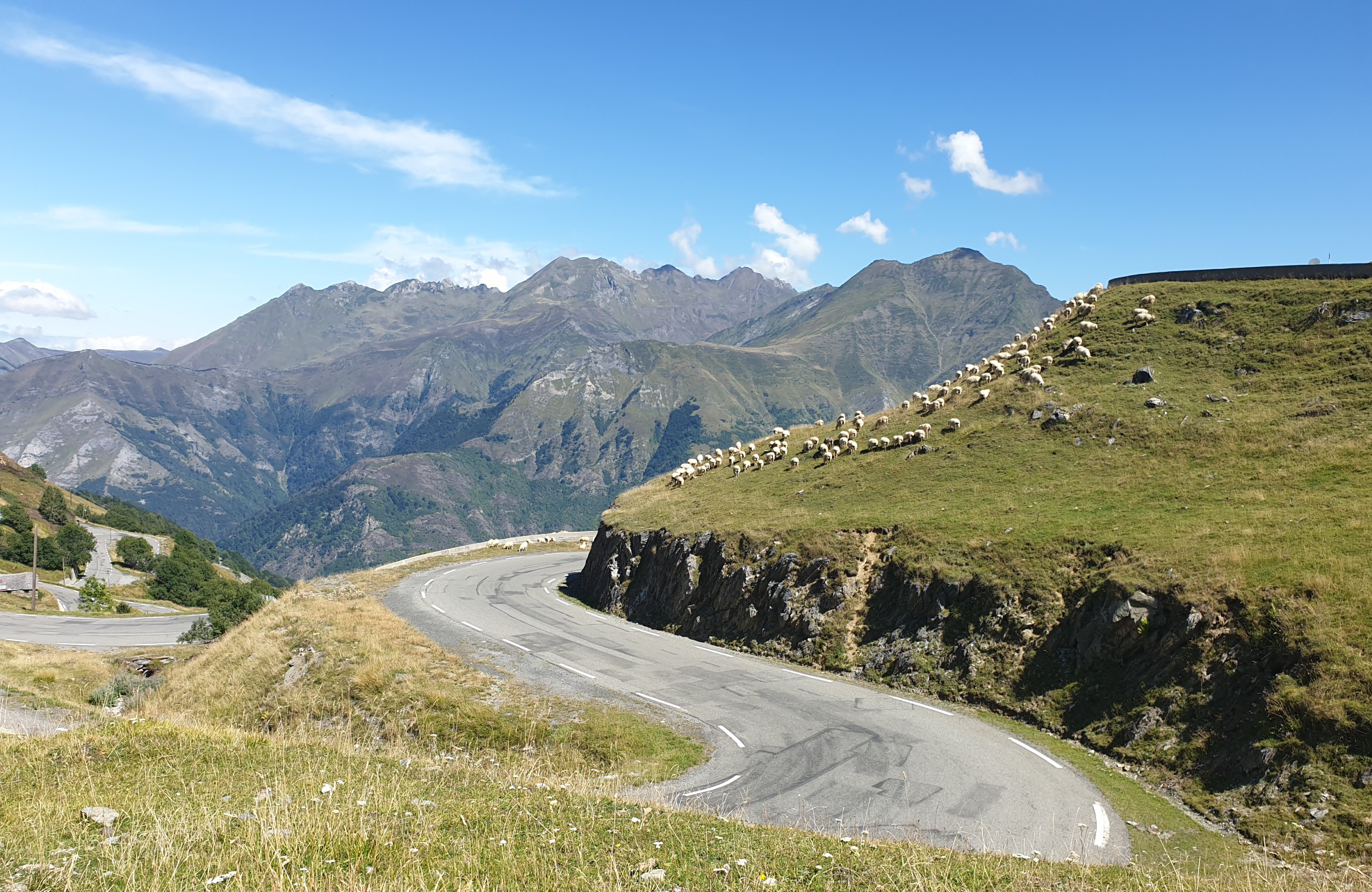
Between myths and legends – emblematic passes of the Pyrenees

Panoramic Pyrenees – 15 hikers' peaks of over 3,000 metres
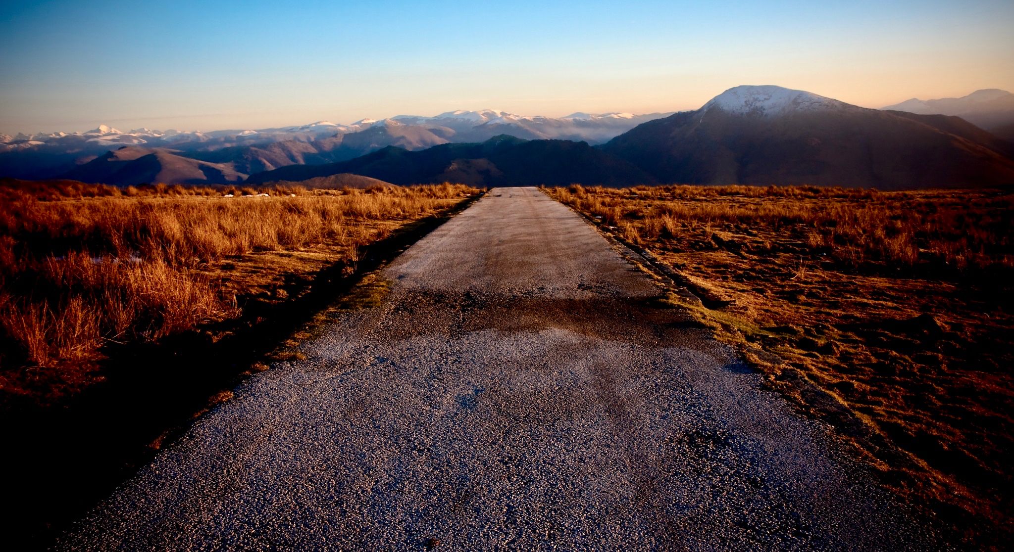
Coast to coast across the Pyrenees on your road bike
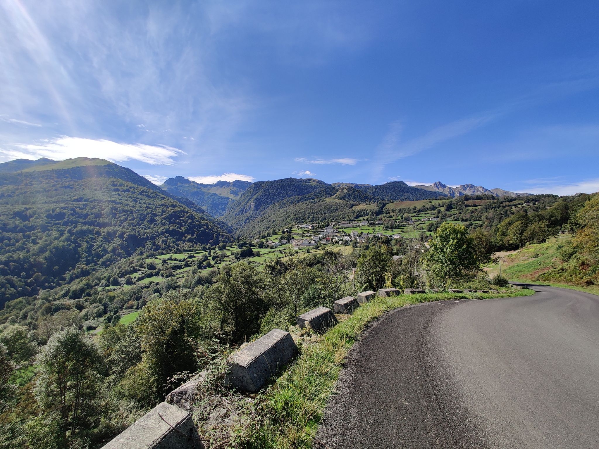
From the Atlantic to the Mediterranean – Route des Cols in the Pyrénées
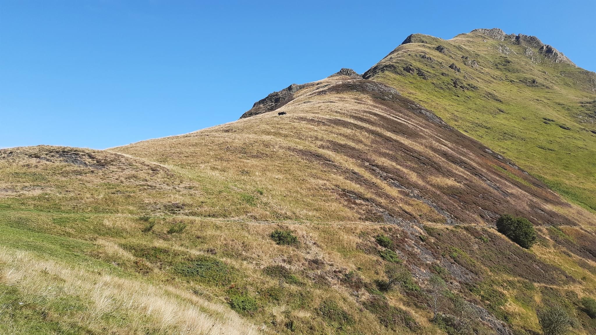
Tour of Mont Valier - The Giant of Ariège
Climbs and greenways - The Great Ariège-Pyrénées Crossing by MTB
Tour of the Portes du Couserans by MTB – a Pyrenean odyssey

On wild ridges: Catalonia to Ariège – Hexatrek, Eastern Pyrenees

Hiking to the summits – France's highest points
Other adventures in Pyrénées Ariégeoises


Tips from the Community

It is a MUST of the Pyrenees, without a doubt, that should be included in any route that crosses the Pyrenees from side to side. Any of its slopes 2 is spectacular and tough. The views from its summit are wonderful, feeling the wild side of the Pyrenees. Of course, once at the summit of this pass... you have to descend to the Étang de Lers and enjoy a quiet rest on the shores of the lake. It is a pass that has been part of the Tour de France route on several occasions, although always far from the finish line. The first professional rider to crest it in the lead was the unforgettable Marco Pantani in 1995.
0
0

The highest peak in the Catalan Pyrenees is well worth the visit, although you have to earn it as it is a long route with considerable elevation gain to overcome.
0
0

I liked the climb from the north side (from Massat), very scenic and alpine landscapes towards the end at the étang de Lers
0
0

A magnificent spot with the road winding under the rock, running alongside a partially underground stream. It's both breathtaking and peaceful. Plus, there's a starting point for a short walk; I did the beginning and it was lovely: I'd love to come back and do a longer section!
0
0

Fantastic panoramic views all around; this summit is well worth it, as you can see from my two panorama photos. Ascent from Estany de Sotllo via the pass. I took the partly exposed scrambling/climbing ridge via Pic Verdaguer. Beautiful scrambling; you just have to be careful to stay on the right track. Descent around the summit, then back to the same pass and down past the same beautiful mountain lakes, and via the Valferrera Hut into the valley. The length and roughness of this route surprised me. Luckily, I didn't start my ascent from the hut. The section along the mountainside, especially above the hut, was quite challenging. There are frequent short climbs over rocky outcrops, and at one point, I found myself on a side path below the main trail, which then ended in the undergrowth. After a short climb, everything was fine again.
0
0

Solar viewpoint on the Peyraguils pass or summit, a metal structure that allows a 360° view of the valleys of the Andorran Pyrenees and the Aran Valley, with views of Aneto.
2
0

Here again: Someone is rating ALL photos of highlights in this region (Northwest Pyrenees) "not accurate," even though they accurately depict the location? Why does anyone need to do that? Is it jealousy? Does someone want to drag down others' "expert" ratings? How pathetic.
1
1
The summit can be reached from several sides. The direct route from the Spanish side to the summit ridge is challenging (I estimate it to be T5 according to the SAC scale). However, you can "cheat" by first crossing the pass to the left to the north side, after which you have to descend a bit to reach the trail from the French side. The technically easiest ascent is certainly from the north via the Refuge du Pinet (T3). However, from the parking lot at L'Artigue, the total elevation gain is around 2,000 meters, which is why staying overnight at the refuge is a good option (a winter room was open in October 2024, €8 per night). I chose the third option, from the Étang de Soulcem. From there, it's "only" 1,500 meters of elevation gain with a difficulty of T3+/T4-. However, I chose a variant for the ascent (see my tour) that isn't on the map and that I would rate as T4+.
2
0
Frequently Asked Questions
What are some of the most impressive natural viewpoints in Pyrénées Ariégeoises?
The region offers several breathtaking viewpoints. The Agnès Pass provides beautiful views of the Etang de Lers, with a panoramic overview on a small wall identifying mountains and passes. For a more challenging ascent, the Tristaina Solar Viewpoint at 2701 meters offers spectacular panoramic views of the Arcalís Valley and the wider Pyrenees.
Are there any unique geological formations or natural curiosities to explore?
Yes, Pyrénées Ariégeoises is home to several unique geological sites. The Fontestorbes Fountain near Bélesta is a fascinating intermittent fountain, known for its water flow that regularly stops and starts between July and October. Another unique spot is Roquefort-les-Cascades, featuring rare tufa waterfalls formed by calcareous water depositing on moss.
What kind of caves and subterranean experiences can I find in the region?
The region is rich in caves. The Grotte du Mas-d'Azil is an impressive prehistoric cave, unique for having both a river and a road passing through it, and houses a Prehistory Interpretation Center. For a truly unique adventure, the Labouiche Subterranean River offers guided barge tours 60 meters below the surface, making it Europe's longest navigable underground river.
What are the best natural monuments for family-friendly activities?
For families, easy hikes around natural monuments are a great option. Lake Bethmale, with its crystal-clear emerald waters, is ideal for relaxation, picnics, and a short, scenic walk around the lake. Roquefort-les-Cascades also provides a pleasant spot for picnics and cooling off by its unique tufa waterfalls.
Where can I experience high-altitude mountain landscapes and panoramic views?
The Pica d'Estats, at 3,143 meters, is the highest peak in Ariège and offers a challenging but rewarding experience with stunning views. For a more accessible high-altitude experience, the Plateau de Beille provides spectacular 360-degree panoramic views of the Pyrenees, with cross-country ski trails transforming into hiking and mountain biking paths in summer.
Are there opportunities for hiking and other outdoor activities near these natural monuments?
Absolutely. The Pyrénées Ariégeoises Regional Natural Park offers diverse landscapes for outdoor enthusiasts. You can find numerous running trails, cycling routes, and easy hikes. For example, the Ars Waterfall is reached via a moderately difficult hike from Aulus-les-Bains, and the Plateau de Beille offers trails for hiking and mountain biking.
What kind of wildlife can I expect to see in the Pyrénées Ariégeoises Natural Park?
The Pyrénées Ariégeoises Regional Natural Park is dedicated to protecting its rich biodiversity. Visitors may spot chamois, marmots, and eagles, particularly around areas like Mont Valier. The park also protects many endemic species, such as the Izard and the bearded vulture, making it a significant area for wildlife observation.
Which natural monument is known for its impressive waterfalls?
The Ars Waterfall (Cascade d'Ars) is considered one of the most beautiful waterfalls in the Pyrenees. It cascades impressively over 246 meters across three levels, creating a refreshing microclimate. The hike to the waterfall, starting from Aulus-les-Bains, is a popular and rewarding experience.
What is the best time of year to visit the natural monuments in Pyrénées Ariégeoises?
The best time to visit largely depends on your preferred activities. Summer (June to September) is ideal for hiking, mountain biking, and enjoying the lakes, with pleasant weather. The Fontestorbes Fountain's intermittent flow is most active between July and October. Spring and autumn offer beautiful scenery with fewer crowds, though some higher-altitude trails might still have snow in early spring or late autumn.
Are there any serene lakes suitable for relaxation or fishing?
Yes, the region is dotted with numerous lakes. Lake Bethmale, nestled in the heart of the Ariège Pyrenees Regional Nature Park, is particularly known for its crystal-clear emerald waters and is an ideal spot for fishing, relaxation, and picnics. Its stunning scenery changes beautifully with the seasons.
What makes Mont Valier a significant natural monument?
Mont Valier, often called the 'Giant of the Couserans,' proudly overlooks the Ariège valleys at 2,838 meters. It's significant not only for its imposing presence but also for its nature reserve, which protects exceptional biodiversity. It offers various trails, from the Nérech Waterfall trail to the challenging ascent of its peak, making it an emblematic place for nature lovers and hikers.
What are the Bassiès Ponds and what do they offer visitors?
The Bassiès Ponds, located in the Vicdessos Valley, offer picturesque scenery with clear waters, lush pastures, unique granite formations, and cascading waterfalls. They provide a wild and unspoiled natural experience, particularly appealing to hikers seeking tranquility and stunning natural beauty away from more crowded areas.
Most popular routes in Pyrénées Ariégeoises
Most popular attractions in Pyrénées Ariégeoises

Get inspired with the komoot mobile app


