Top 20 Natural Monuments in Sierra Subbetica
Best natural monuments in Sierra Subbetica are found within a UNESCO Global Geopark in Andalusia, Spain, characterized by a karstic landscape. This region features impressive caves, towering peaks, and unique geological formations shaped by millions of years of geological activity. The area offers a blend of natural beauty and significant geological history. Visitors can explore a diverse range of natural formations, from underground cave systems to high mountain viewpoints.
Best natural monuments in Sierra Subbetica
- The most popular natural monuments…
Last updated: July 11, 2026
Chorreras de la Fuenseca
Highlight • Waterfall
Translated by Google •
Tip by

Limestone formations and caves in the Bailón Canyon
Highlight • Canyon
Translated by Google •
Tip by
Sign up now to discover places like this
Get recommendations on the best single tracks, peaks, & plenty of other exciting outdoor places.
Sign up for free
Las Chorreras Waterfall
Highlight • Waterfall
Translated by Google •
Tip by
Puerto del Cerezo
Highlight • Mountain Pass
Translated by Google •
Tip by

Bat Cave
Highlight • Cave
Translated by Google •
Tip by

Sign up for free to discover even more natural monuments in Sierra Subbetica.
Sign up for free
Already have an account?
Start today with a free account
Your next adventure awaits.
Login or Signup

Other adventures in Sierra Subbetica

Tips from the Community

Once you reach the top and arrive at this point, you’re rewarded with an incredible feeling and truly breathtaking views.
0
0


It is a prehistoric cave, the largest in the province of Córdoba, declared a Natural Monument in 2001. Its name comes from the bats, of different species, that inhabit this cave. In his tourist visit, a descent of up to 65 m deep is made.
3
0

Seasonal waterfalls that appear after copious rains. Due to the porosity of the terrain, only when the amount of water is greater than what the terrain is capable of absorbing, do waterfalls form, sometimes even making it difficult to pass and not being able to make the route in a circular way. It is convenient to inquire at the Santa Rita Visitor Center about their status and check if an authorization is required to visit them, which is sometimes established to control the influx of people to this Zone A Reserve of the Protected Natural Area.
0
0
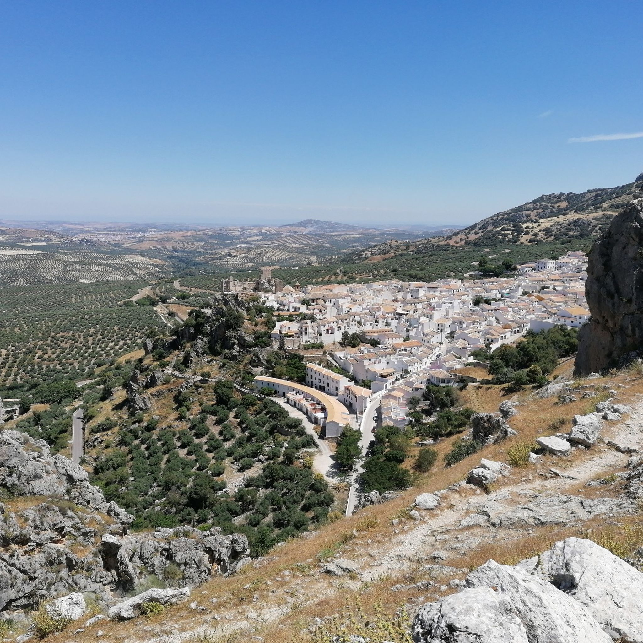
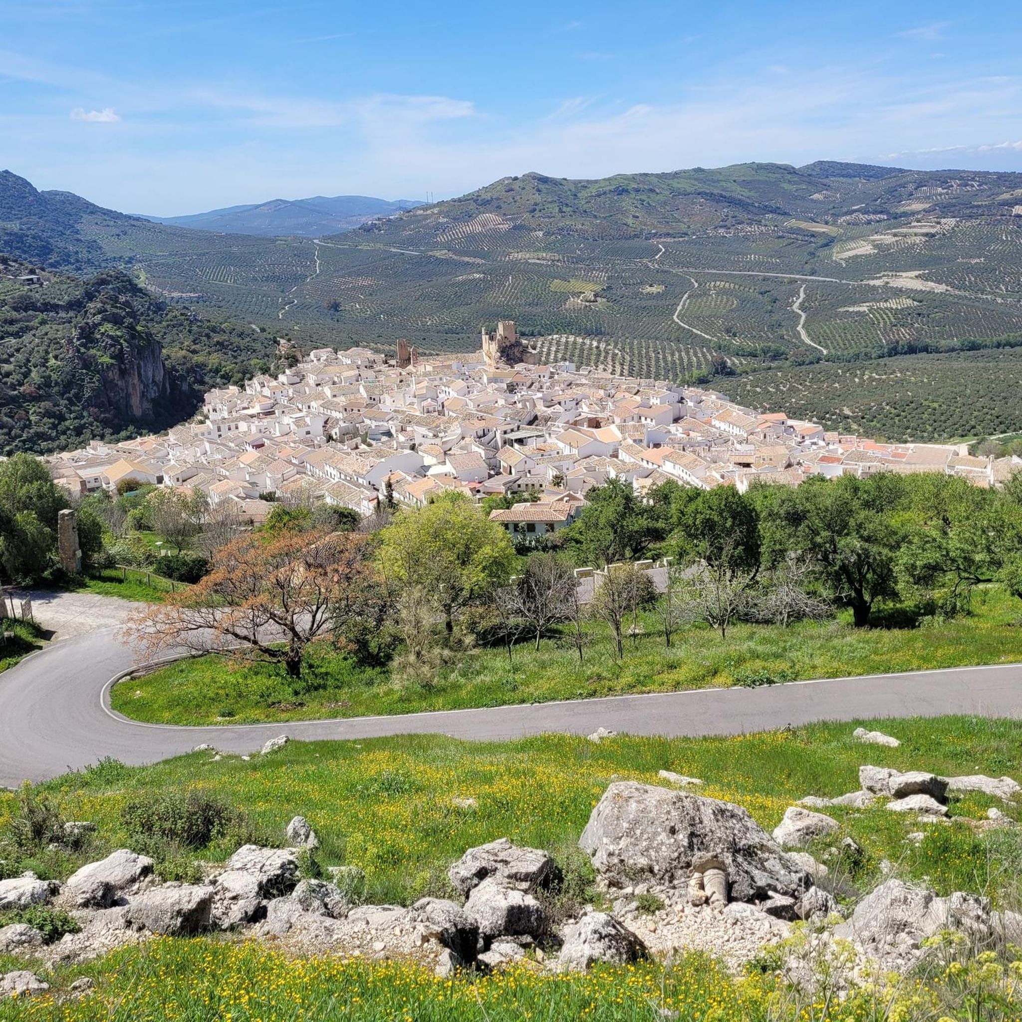
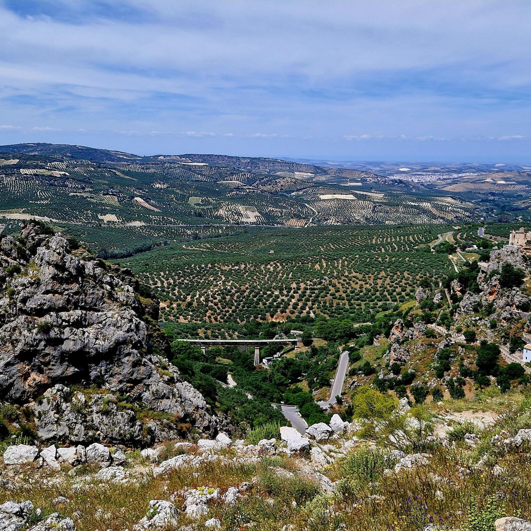
This trail is full of impressive limestone rock walls, with a multitude of vegetation sprouting between its numerous pores. They have been formed over time by the force of the Bailón River. From some angles you can see Zuheros and its castle peeking out between the walls.
2
0
Seasonal waterfalls that appear after copious rains. Due to the porosity of the terrain, only when the amount of water is greater than what the terrain is capable of absorbing, do waterfalls form, sometimes even making it difficult to pass and not being able to make the route in a circular way. It is convenient to inquire at the Santa Rita Visitor Center about their status and check if an authorization is required to visit them, which is sometimes established to control the influx of people to this Zone A Reserve of the Protected Natural Area.
1
1
This cave is a system of galleries typical of limestone formations, very porous. Its name is due to the fact that various species of bats inhabit it.
2
1

A beautiful place, even for short walks. You determine the level of difficulty yourself. A little fitness is useful because of the sometimes steep climbs.
1
1
Frequently Asked Questions
What unique geological features can I explore in Sierra Subbética?
The Sierra Subbética Geopark is renowned for its karstic topography. You can explore impressive formations like poljes, dolines, and lapiaz, which are results of limestone dissolution over millennia. A notable example is the Poljé of the Nava de Cabra, a large, flat-floored depression. The region also boasts significant paleontological richness, with numerous ammonite fossils, the emblem of the Geopark.
What historical or archaeological significance do the natural monuments hold?
The Bat Cave (Cueva de los Murciélagos) near Zuheros is a site of immense archaeological importance. It features evidence of human occupation dating back to the Neolithic period (around 4,500 BCE), including tools, pottery, human remains, and rare Paleolithic rock paintings. The Sima de Cabra also has historical significance, with documented descents dating back to 1683.
Are there family-friendly natural monuments to visit in Sierra Subbética?
While many natural monuments involve hiking, the general area offers experiences suitable for families. The Bat Cave offers a guided tour experience into its impressive chambers, which can be fascinating for older children. The Río Bailón Canyon also has accessible viewpoints, and the easy hikes in Sierra Subbética guide provides options for less strenuous exploration.
What is the best time of year to visit the natural monuments in Sierra Subbética?
The best time to visit is generally during spring (March to May) and autumn (September to November). During these seasons, the weather is milder and more pleasant for outdoor activities like hiking and exploring caves. Summer can be very hot, and some seasonal waterfalls, like Chorreras de la Fuenseca, are best seen after significant rains, typically in late winter or early spring.
What kind of outdoor activities can I do near these natural monuments?
The Sierra Subbética offers a variety of outdoor activities. You can find numerous hiking trails, including those around the Río Bailón Canyon and the easy hikes in Sierra Subbética. The region is also popular for cycling and gravel biking, with routes like those found in the Cycling in Sierra Subbética and Gravel biking in Sierra Subbética guides, often utilizing the Vía Verde del Aceite.
Are there any natural monuments with panoramic viewpoints?
Yes, Limestone formations and caves in the Bailón Canyon offers splendid views, especially from viewpoints located on the road to the Cueva de los Murciélagos. Additionally, La Tiñosa Peak, the highest point in Córdoba province, provides breathtaking panoramic views of the entire Sierras Subbéticas and even Sierra Nevada on clear days.
Can I find hiking trails that lead to or past these natural monuments?
Absolutely. An iconic walking route from Zuheros allows visitors to experience the Río Bailón Canyon up close. The ascent to La Tiñosa Peak is also a challenging but rewarding hike. For easier options, check out the easy hikes in Sierra Subbética guide, which includes routes like the Enrique Triano Trail.
What should I pack for a visit to the natural monuments in Sierra Subbética?
Given the varied terrain and activities, it's advisable to pack sturdy hiking shoes, layers of clothing suitable for changing weather conditions, sun protection (hat, sunscreen), and plenty of water. If you plan to explore caves, a headlamp might be useful, though guided tours usually provide necessary equipment. For seasonal waterfalls, be prepared for potentially muddy conditions.
What kind of wildlife can I spot near the natural monuments?
The Bat Cave is home to various bat species, giving it its name. The karstic landscape and Mediterranean flora also support a diverse range of birds, reptiles, and small mammals. Keep an eye out for raptors soaring above the peaks and canyons.
Are there any hidden gems among the natural monuments that are less known?
While the main sites are well-known, the sheer number of karstic formations means there are many less-explored spots. The Sima de Cabra, for instance, is a significant geological formation that, while generally restricted to professional speleologists, represents one of approximately 900 caves and abysses in the geopark, hinting at many hidden wonders. Exploring the various dolines and lapiaz formations off the main trails can also reveal unique natural beauty.
What do visitors enjoy most about the natural monuments in Sierra Subbética?
Visitors frequently appreciate the impressive limestone rock walls and abundant vegetation in areas like the Limestone formations and caves in the Bailón Canyon. The geological diversity, from ancient sea beds to uplifted mountain ranges, offers a captivating journey through Earth's history. The Bat Cave is particularly popular for its prehistoric significance and stunning formations.
Can I visit the seasonal waterfalls like Chorreras de la Fuenseca?
The seasonal waterfalls, such as Chorreras de la Fuenseca, appear after significant rains, typically in late winter or early spring. Due to the porous terrain, they only form when water exceeds the ground's absorption capacity. It's advisable to inquire at the Santa Rita Visitor Center about their current status and any required authorizations, as access might be controlled to preserve the area.
Most popular routes in Sierra Subbetica
Most popular attractions in Sierra Subbetica

Get inspired with the komoot mobile app


Explore more
Extend your search for the best caves by checking out these guides of the top ones in Sierra Subbetica:
